 |
through |
 |


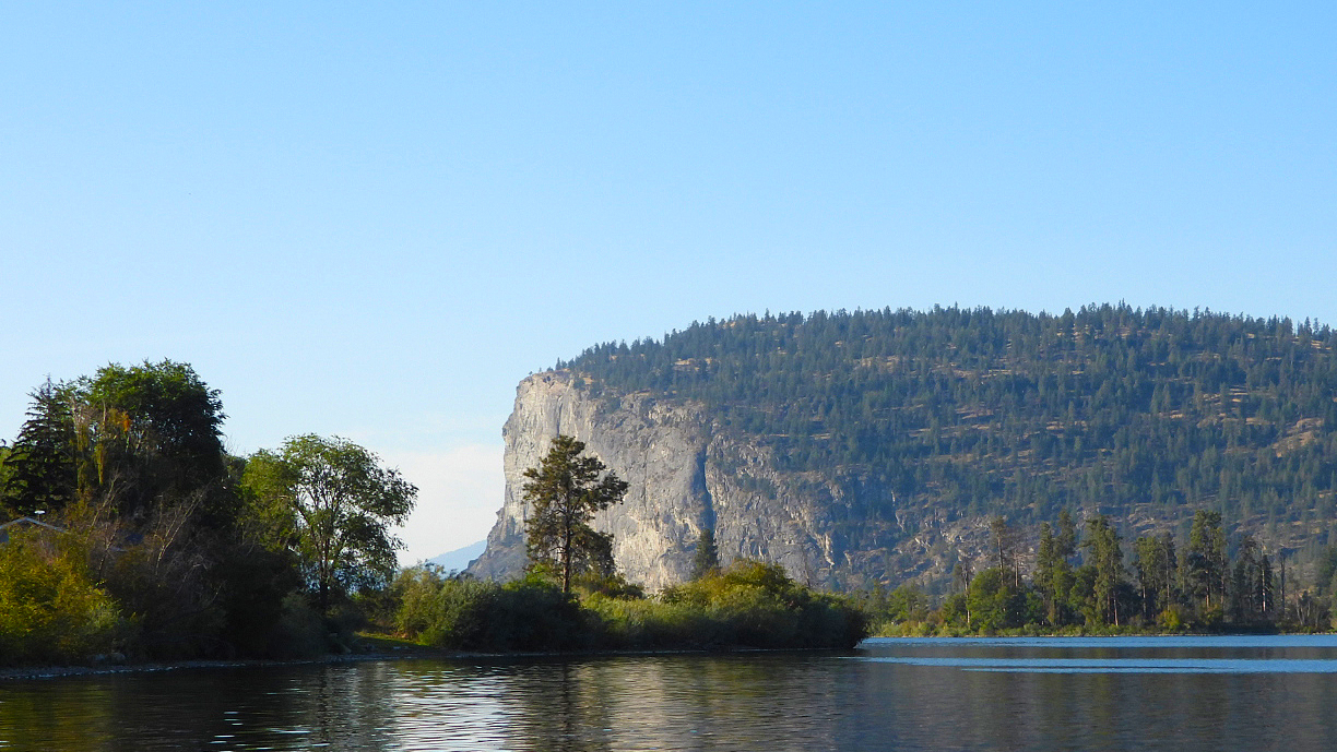
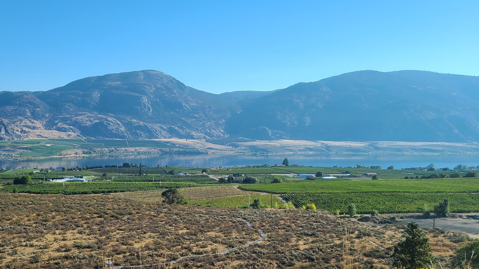
We thought we had seen all the fruit and vegetable stands there were to see yesterday, but that paled in comparison to what the last 39-miles of BC-97 had in store for us today. On both sides of the road were vineyards and gardens from the road shoulders to the foot of the nearby mountains.
High up above the town of Osoyoos, BC on Route BC-3 and just 4-miles from the border, is the Spotted Lake, known as Ktlil'k to the First Nations People of the Okanagan Valley. The lake is a cultural and ecologically sensitive area, and a traditional medicine lake for the Okanagan Syilx people.
Watch for this gate and look for a place to pull over.
holds its own unique medicinal and healing properties.
Coming back down to the highway to start heading towards the border we of course made two more stops at a pair of fruit stands and purchased another small stash of fresh fruit. Let's hope they don't ask how much fruit we have in THE POD when we cross the border ten minutes from now.
Upon arriving at the border we were asked all the usual questions and then the big one we were dreading, "Do you have any fruit with you today?" My reply was simple, "Just what we purchased in the last hour." Without batting an eye he said, "Welcome back to the United States." He never asked what kind or how much fruit we had, so why ask us in the first place? My guess is he just wanted to know if I was being truthful when answering all his other standard questions.
Once across the border we travel south for another 22-miles before turning east on SR-20 in the town of Tonasket. After making the turn the roadway immediately started an upward trend into the mountains. It's roughly 84-miles between Tonasket and Kettle Falls, where we're headed, and the second half of that distance, roughly 35-miles from Republic to Kettle Falls is called the Sherman Pass Scenic Byway.
Sherman Pass is located 5,575 feet above sea level and is the highest roadway in the entire state of Washington. Had I researched that in advance I may have been better prepared to drive across it today. As it turns out, on our way down from Sherman Pass we had to pull off the road and let the brakes on ROVER cool down.
While we were on the side of the road Tricia made some sandwiches for lunch, which meant the 30-minutes went by quickly. Once back on the road the shuddering feeling was gone from the brakes and we safely arrived in Kettle Falls. We haven't experienced brakes overheating like that since we were on the Blue Ridge Parkway back in 2018.
WEDNESDAY - Yesterday we did absolutely nothin', nada, zilch, zippo!
Today however is a different story. Today we have a sightseeing destination in town, a diner where we'll have lunch, a geocache to find and a 12-mile trip to the next town down the road to the Walmart, so I can pickup my prescriptions.
Sounds like a lot, but it won't take long to get it all done. Oh yeah, as a bonus we may even find somewhere to refill one of our propane tanks.
Our first stop was our sightseeing destination, The Old Apple Warehouse in Kettle Falls.
The building started out in 1907 as the name implies, it was an apple warehouse. Produce laden wagons would enter the building from the side, unload their wares, which would later be loaded onto train cars on the adjacent railroad tracks.
Business was good until 1939, that's when the Grand Coulee Dam was constructed across the Columbia River some 100-miles downstream from Kettle Falls. Construction of the dam caused most of the furtile valleys which contained many apple orchards to become submerged. Apple and other fruit production in the area was never the same again and by the 1990s the building was all but abandoned.
The building was sold to new owners and repurposed into what it is today, an antique mall and local artisans workshop area. There are over thirty small individually owned businesses, sometimes as small as 6x8 feet, where items are sold somewhere between yard sale pricing and truly collectible antiques.
We walked through the entire building, both street level and basement level, but thankfully found nothing that we couldn't live without. We saw many items that we might have purchased had we a real home to furnish, but we live in 216 square feet of "home on wheels" and just don't have the space needed to display these kinds of treasures.
JUST AS A SIDE NOTE: We were in the basement looking around when a train slowly passed by outside on the tracks. Everything in the basement started to shake, rattle and roll from the vibration. Dishes, glassware and metal pots and pans began making what could only be described as an unorganized symphony of sounds. It was quite an eerie experience being in the basement of a 100+ year old building that was making all that noise.
Right across the street from The Old Apple Warehouse is a gas station that sells propane. We filled up with $4.79 gas, that's the most we've ever paid in the Lower 48 states. Our previous high was $4.19 back in May just before we crossed the border into Canada. I don't even want to talk about the price of gas in Canada and Alaska!
We then got our propane bottle filled before heading down the road to Walmart to pick up my prescriptions. Of course we also spent nearly $100 in groceries and had to return to THE POD to get some items into the refrigerator.
After unloading the groceries we were off to Sandy's Drive In in Kettle Falls for lunch. They are known for having the freshest hambugers in the area. We both got a different variety of a hamburger, Tricia a mushroom/swiss and me a traditional cheeseburger, plus we both got fries, all for just over $18.00, that was the best part for me.
JUST ANOTHER SIDE NOTE: While eating lunch in the diner it was strange watching the TV news from the northeast corner of the United States (Washington) and seeing the southeast corner of the United States (Florida) being battered by Hurricane Ian. We're hoping all our friends and family in Florida are safe and dry this evening!
Now with full bellies the only thing left on today's list was to locate a geocache. That wasn't hard to do, there is one hidden just a half mile down the road. We were able to drive to within 150 feet of the geocache and located it in no time.
Nothing to do now except return to home base and write this blogpost.
Would you like to be notified of new blog posts?


