

SATURDAY |
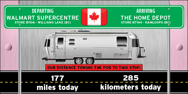
 THE HOME DEPOTSTORE #7144 - KAMLOOPS, BC |
 BRITISH COLUMBIA BRITISH COLUMBIA |
DESTINATION: THE LOWER 48
| 86% | 14% |
|---|---|
| COMPLETED - 1162 miles=(1870 kilometers) ⟺ 187 miles=(301 kilometers) - STILL TO GO |
|---|

There was still a heavy fog over Williams Lake as we started our travels today at 9:00AM.
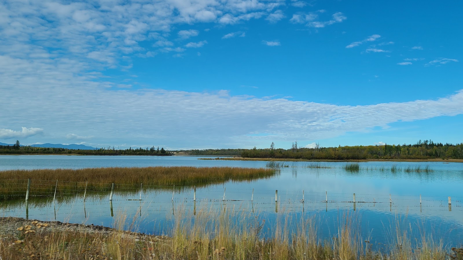
An hour later we had left the fog behind and faced clear blue skies for the rest of the day.
These are all names that inform a stampeder how far north of the roadhouse in Lillooet (Mile 0) they had traveled. These names of course were first used back in the 1850s when thousands of men were headed north in search of gold, which is why this stretch of road is also referred to as The Gold Rush Trail.
A LITTLE BIT OF HISTORY:
I started thinking, wait a minute, why are all these names in miles?
Hasn't Canada always been a "metric" nation?
Shouldn't they be called 241 Kilometer House and so forth?
DID YOU KNOW the United States, Myanmar (formerly known as Burma) in Southeast Asia and Liberia on the West African coast are the only countries in the world who use the Imperial System for Measures (i.e. miles-yards-feet-inches, gallons-quarts-pints and tons-pounds-ounces and such)?
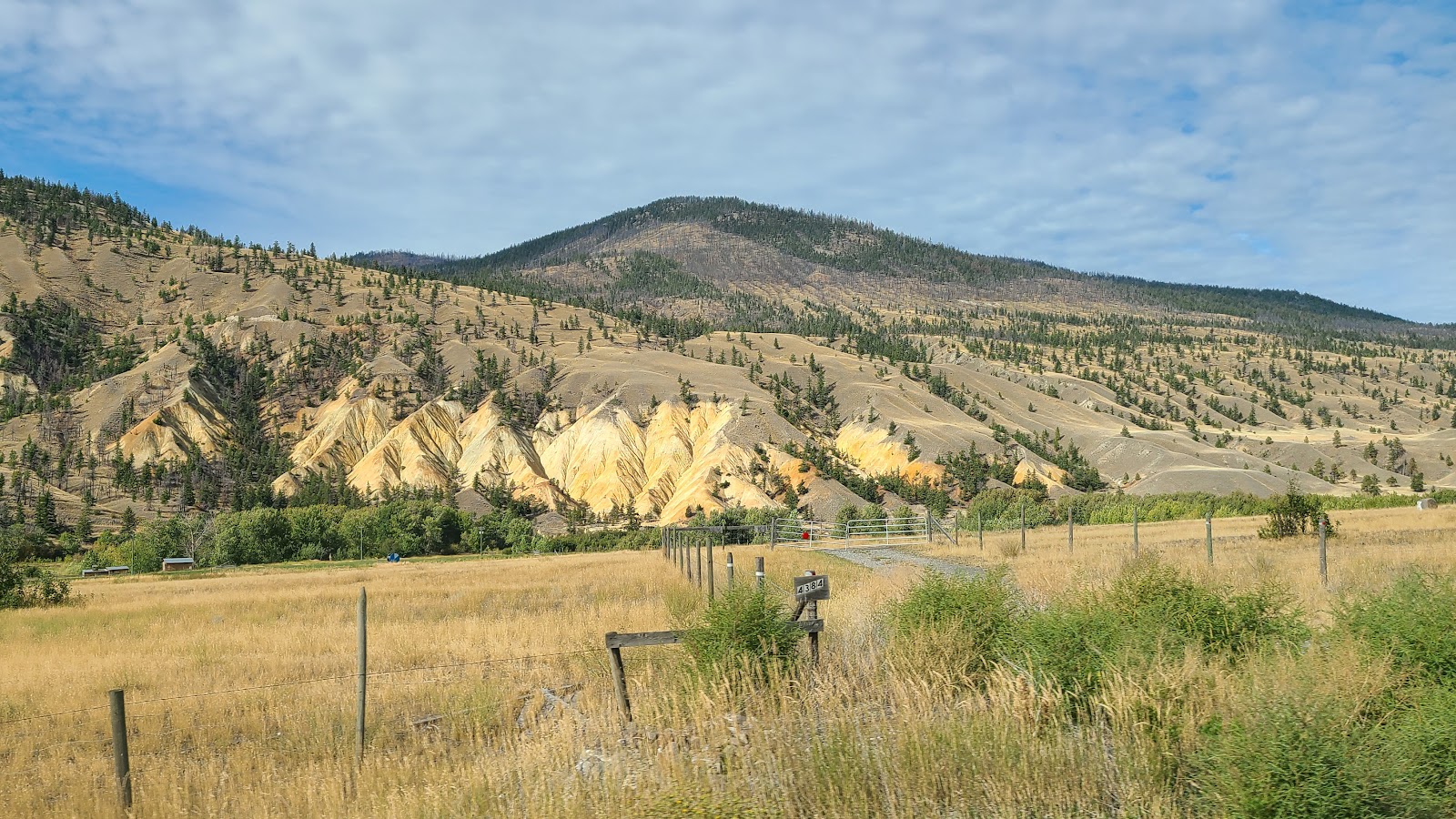
Approaching the town of Clinton on a 4-mile long 8% downward slope. That'll test your brakes!
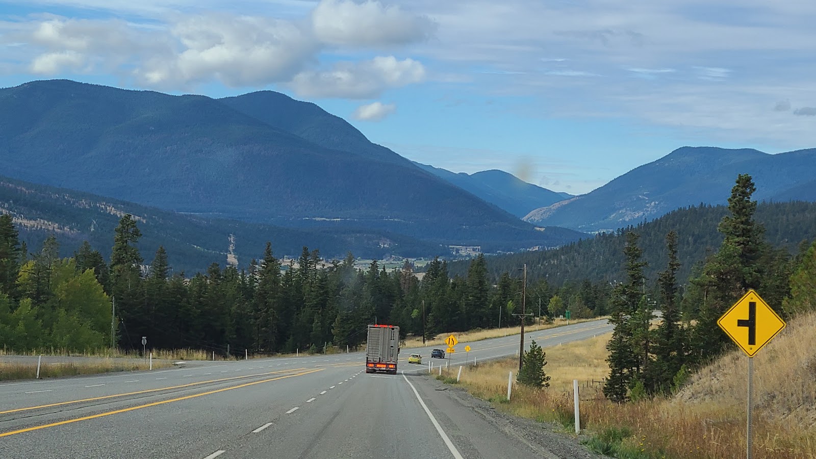
Once we reach the southern end of the Cariboo Highway in Cache Creek we will turn left again and begin traveling east on the Trans-Canada Highway 1 for the last ¼ of today's route.
This is where the landscape made a dramatic change. We were no longer traveling north/south down through a wide valley between two mountain ranges. We were now traveling east/west and going across the grain so to speak, traveling up and over the mountains we've been seeing all day.
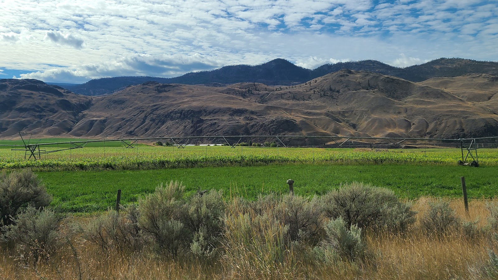
It's hard to believe there's still corn in the fields, I imagine they'll be harvesting it soon.
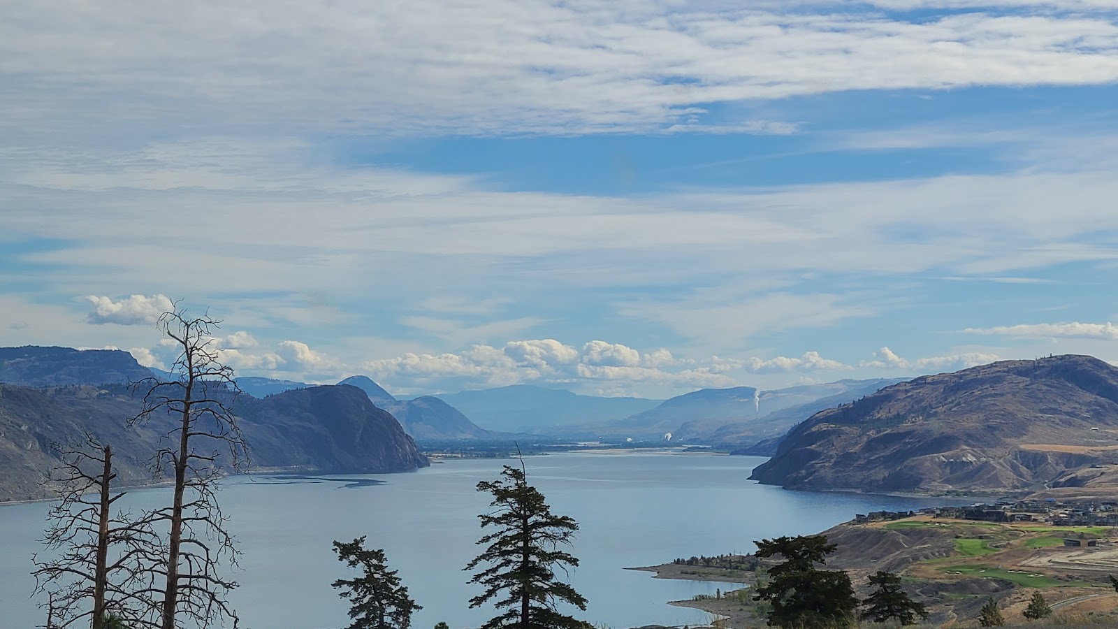
A small glimpse of the 300+ mile long Thompson River along Trans-Canada Highway 1.
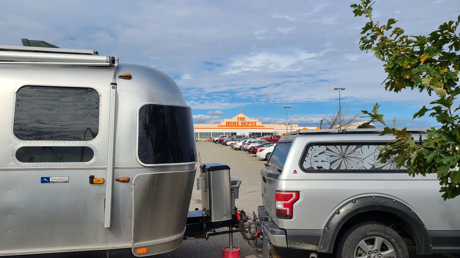
Upon arriving in Kamloops, BC we did what we usually do, filled ROVER with gasoline before parking for the night and then checked to see if there was anything interesting within walking distance of our location.
In order to break up our chain of nights in Walmart parking lots I called ahead to The Home Depot Store here in town. I asked if I would be permitted to park overnight in their parking lot and was told as long as it was for "just one night" it would be fine. Thanks Home Depot!
Of course when I arrived I went inside and got the name of the manager I spoke with, just in case any problems arise later in the evening. I'm hoping there is a lot less activity in this parking lot tonight than we seem to be experiencing in the Walmart parking lots.

Would you like to be notified of new blog posts?

 |
We encourage everyone |
Until next time
