Want to see our Visited States Data, our State by State Bucket Lists or our Visited Parks and Campground lists?

Then click on the image above to go to our other website.

WELCOME TO WYOMING! (WY)


Hey folks! We finally made it to our 47th new state, Wyoming, and our first new state of 2023.

Upon first entering Wyoming it didn't look all that different from northern Utah. There were still the mountains and valleys with the slow winding roads.

Then things changed for the worse! We saw a sign on the side of the road warning that there was loose gravel for the next 20-miles. The next sign warned that you could save your windshield from damage by traveling at less than 30MPH. That only works if the trucks coming in the other direction are also going 30MPH, but the "official" speed limit is 55MPH on this road, so I've got no right to complain, c'est la vie.

Sure enough, 10-miles down the road a rock thrown by a truck going the opposite direction hit our windshield on the passenger side and we now have a second "tiny ¾" crack" to match the one we received in Tennessee back in September of 2021.

A few miles later we found out why there is so much gravel on the roadway. After waiting over 30-minutes for our Pilot Car to arrive from the opposite direction, we slowly rolled over the rise in the road and past the crew working to "repair" the roadway up ahead.

Our Pilot Car has arrived! As usual, we were the first vehicle waiting in line.

First we saw the equipment that was rolling back and forth over the new gravel bed.

Next we saw the equipment that was "tearing up" the old roadbed to put down fresh gravel.


I'll never understand why they have to "block off" over 5-miles of roadway with flagmen
just to "work" on a quarter mile section.

Probably the same reason they needed to have 6 men "watching"
the 6 men that were "working" on the road.


Oops! Guess ROVER isn't the only one running a little hot today!


Eventually we made it to the city water treatment plant where they have a FREE dump station just for RVers, thank you Rock Springs. After that we made our way over to where we are going to spend the night.

As you can see from the photo above, we won't be having a very glamorous first night in Wyoming. However I'll let you all in on a little secret, we'll be here in the state for another 39 nights. Spending most of that time in some very popular parks that you all have heard of before.


Would you like to be notified of new blog posts?


FLAMING GORGE NATIONAL REC AREA (UT)


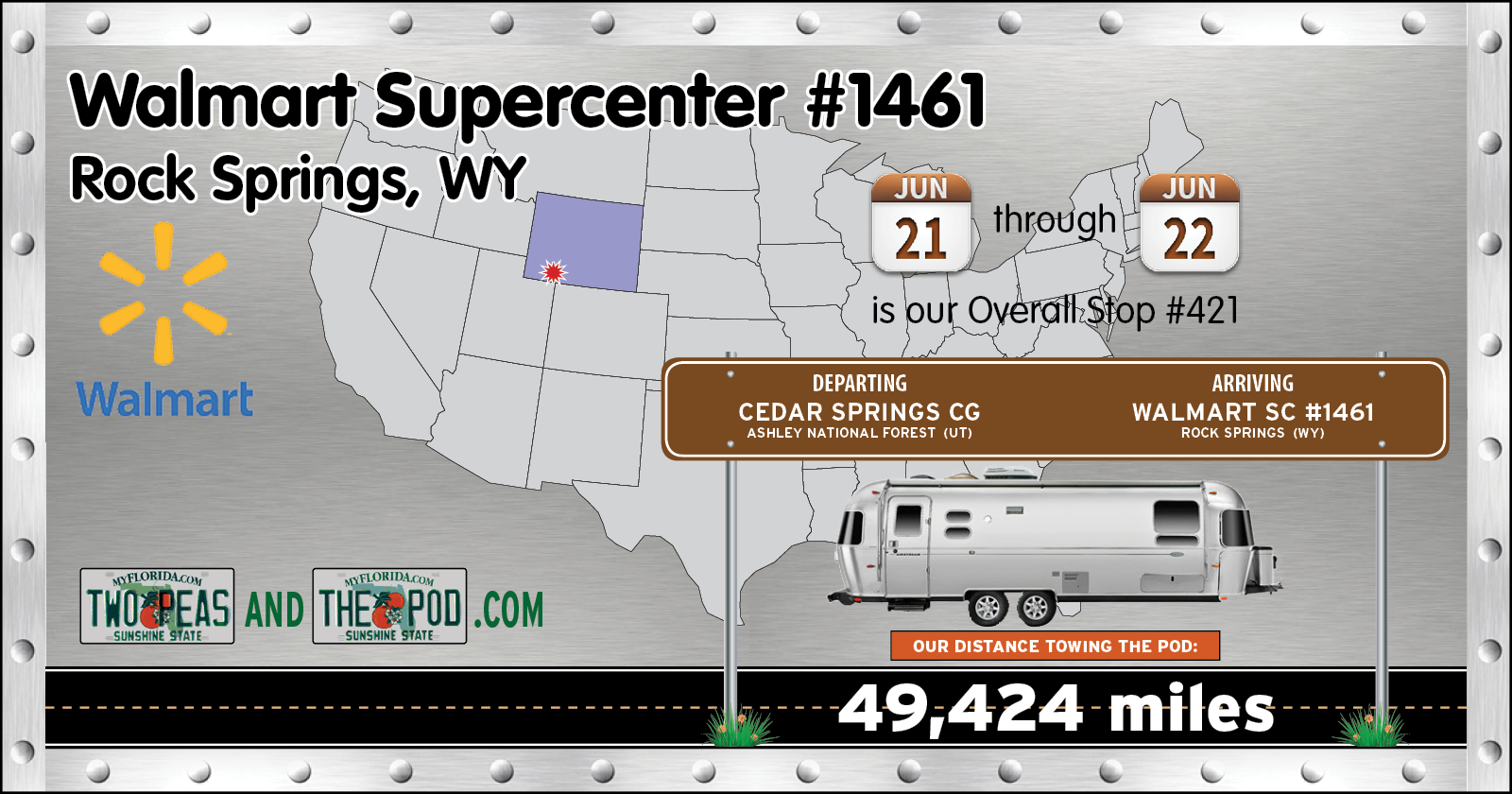
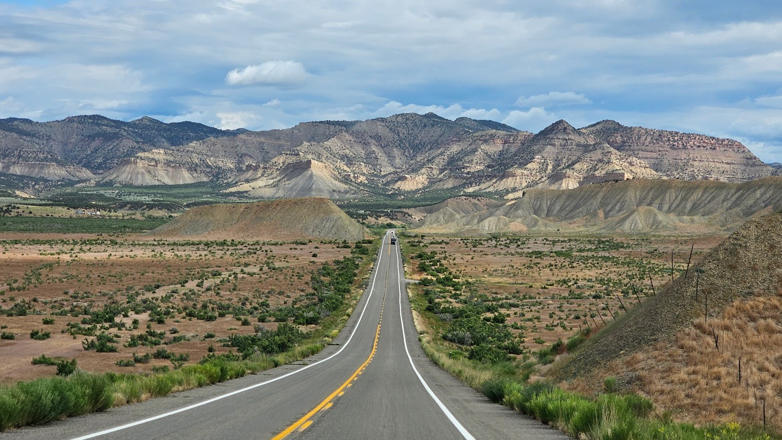
MONDAY - Today's route was only 66-miles long, but we managed to squeeze a little drama out of it anyway.

After a failed short detour to mail out a package today (the Post Office was closed for the Juneteenth Federal Holiday) we got back on track and started heading north.

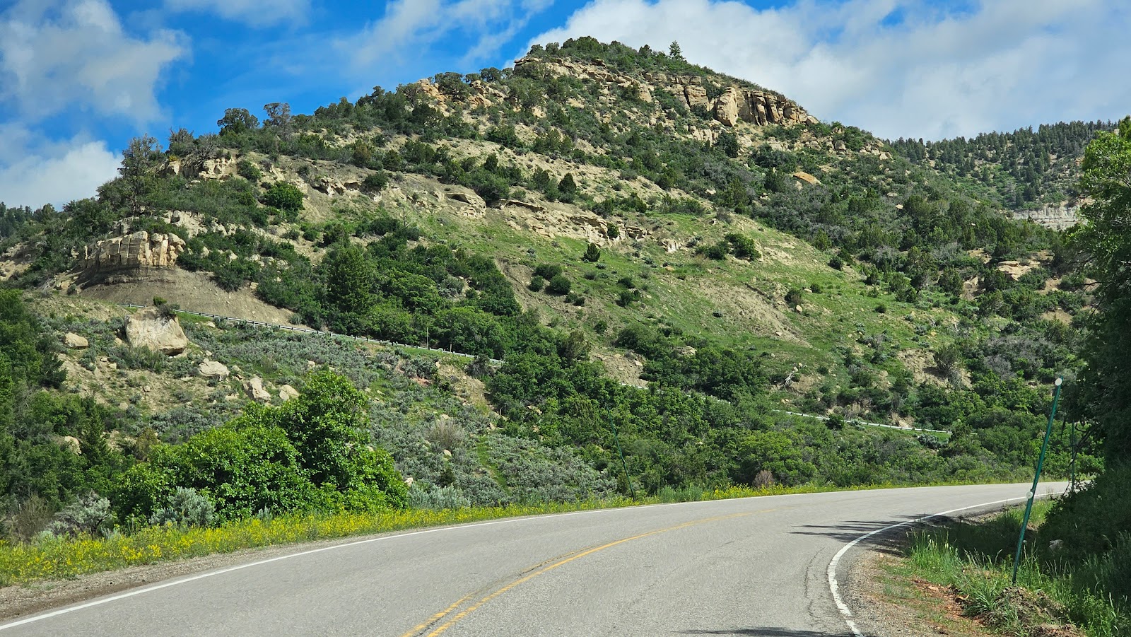
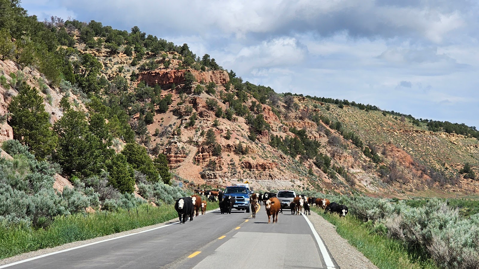
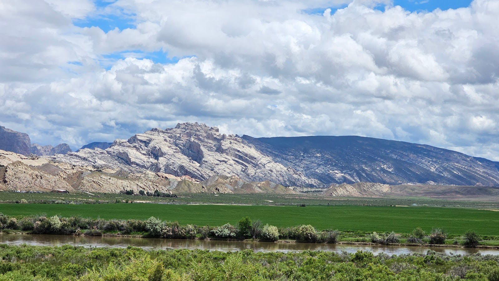
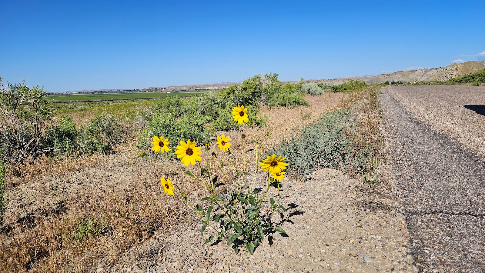
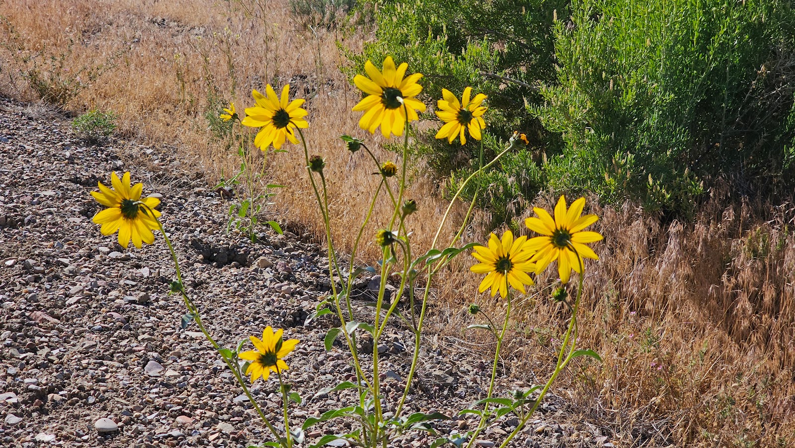
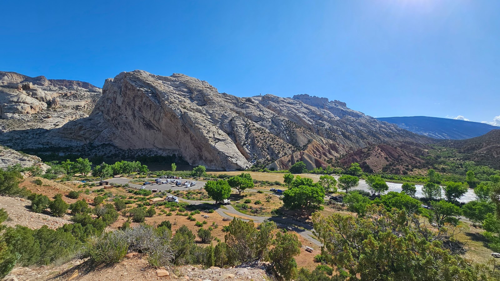
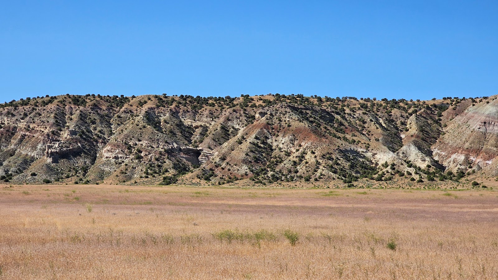
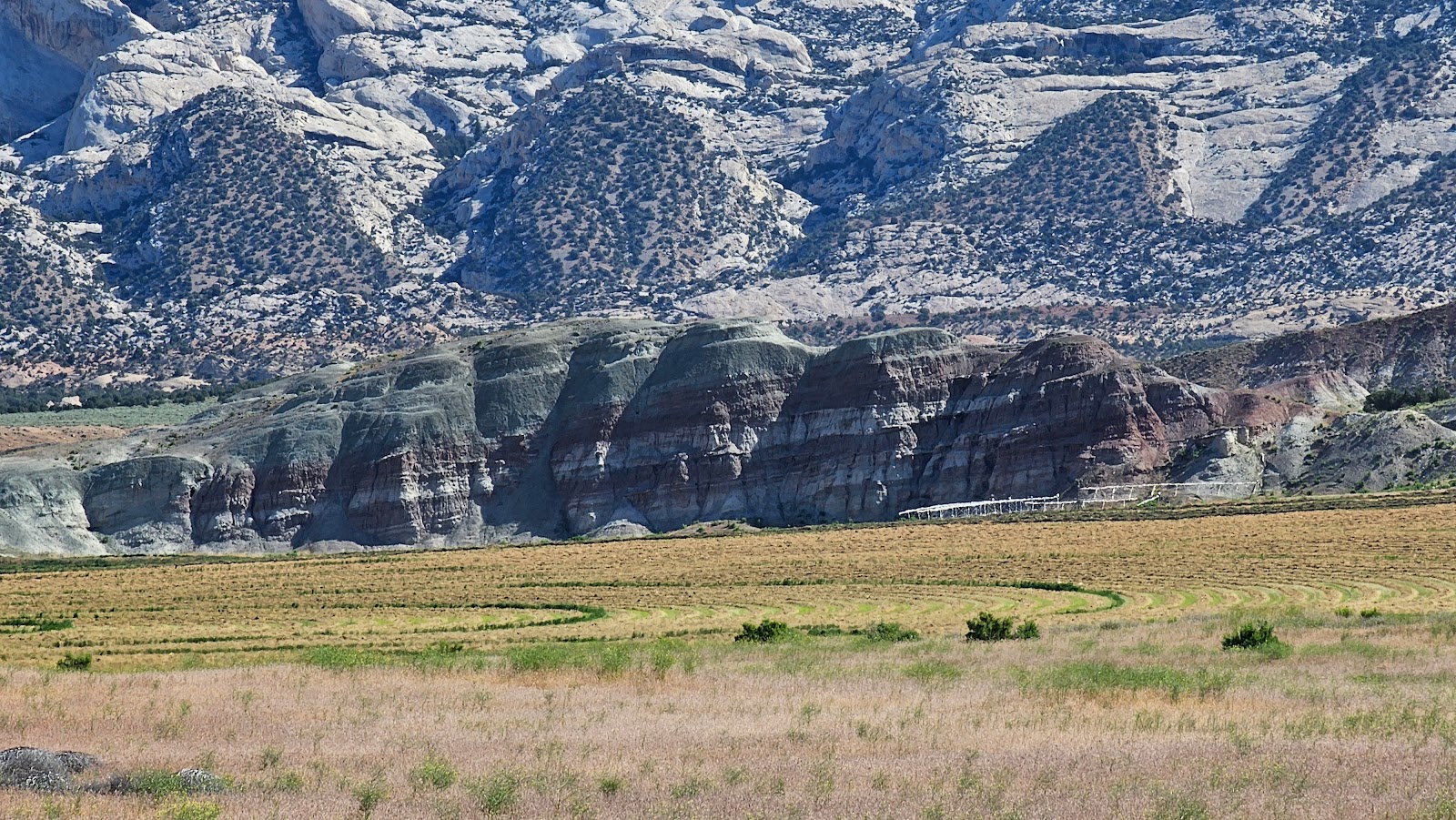
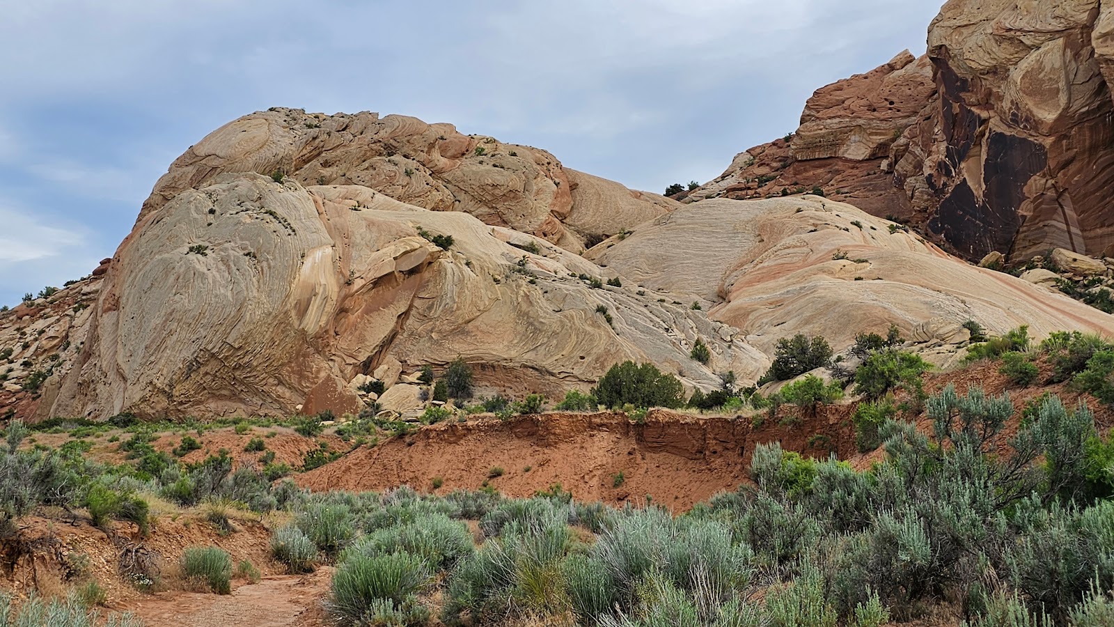
After leaving Jensen, UT (where Dinosaur National Monument is) the first town we traveled through was Vernal, UT just 13.5 miles west on US-40.

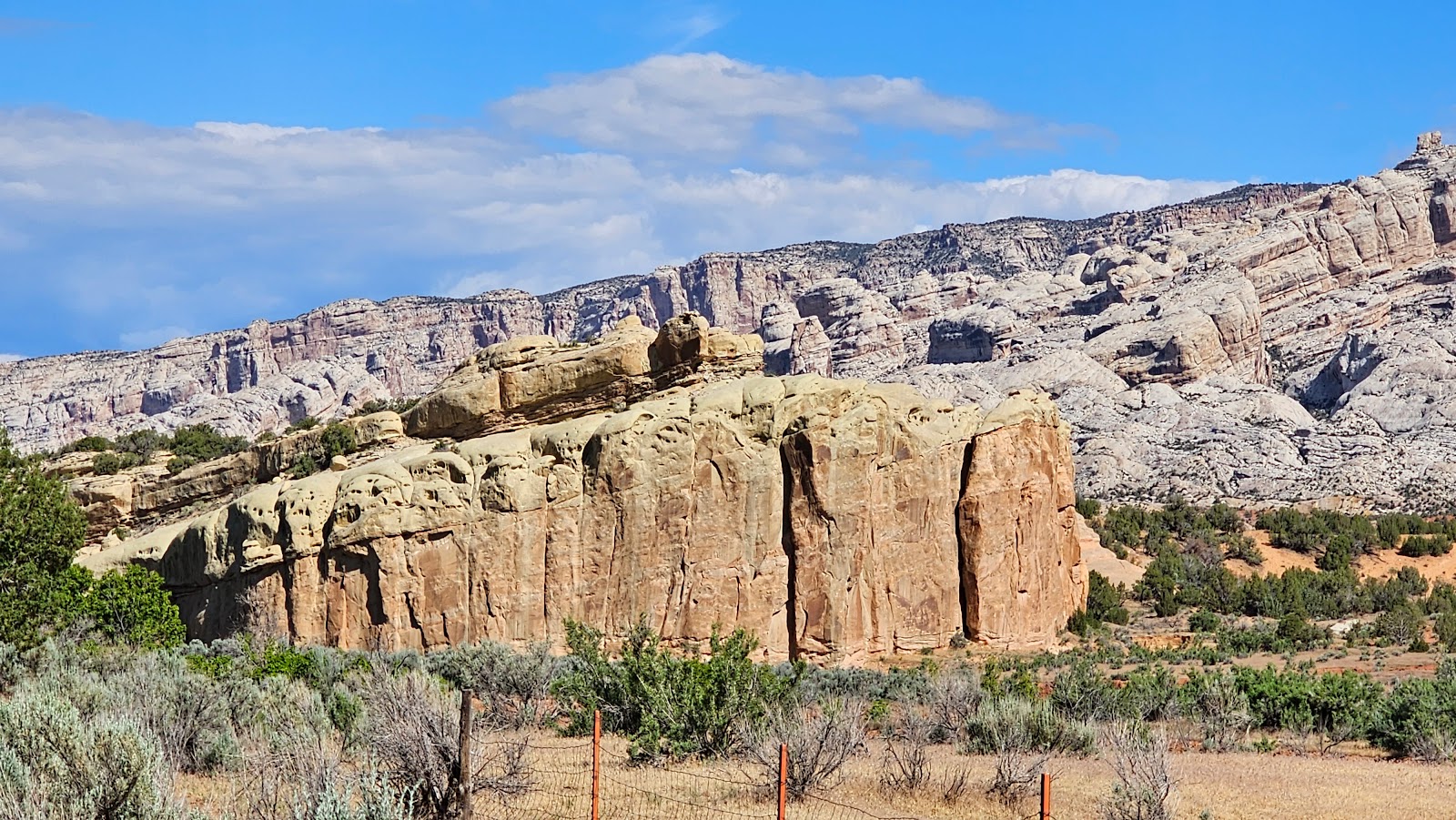
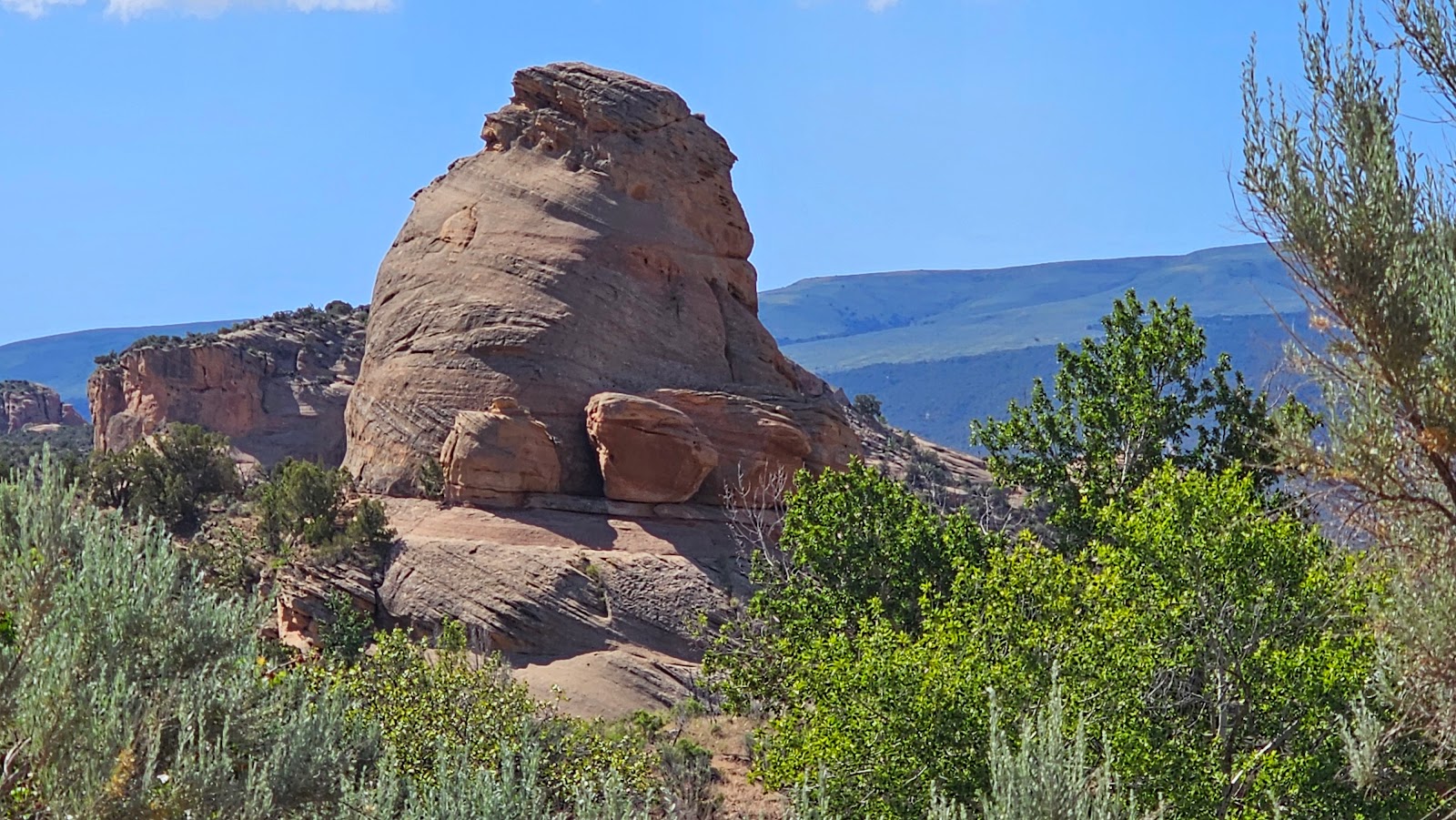
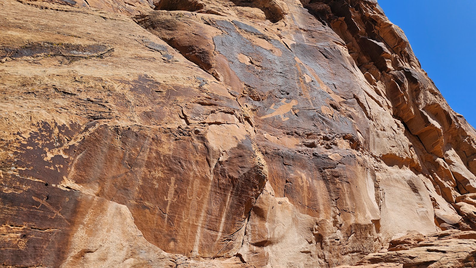
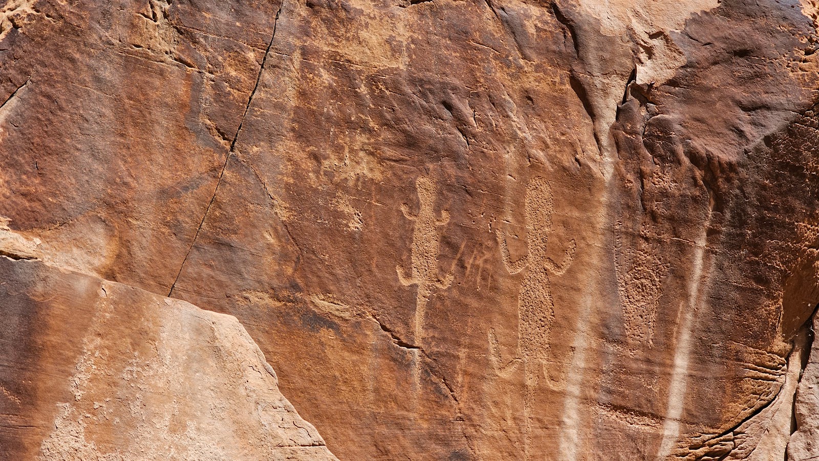
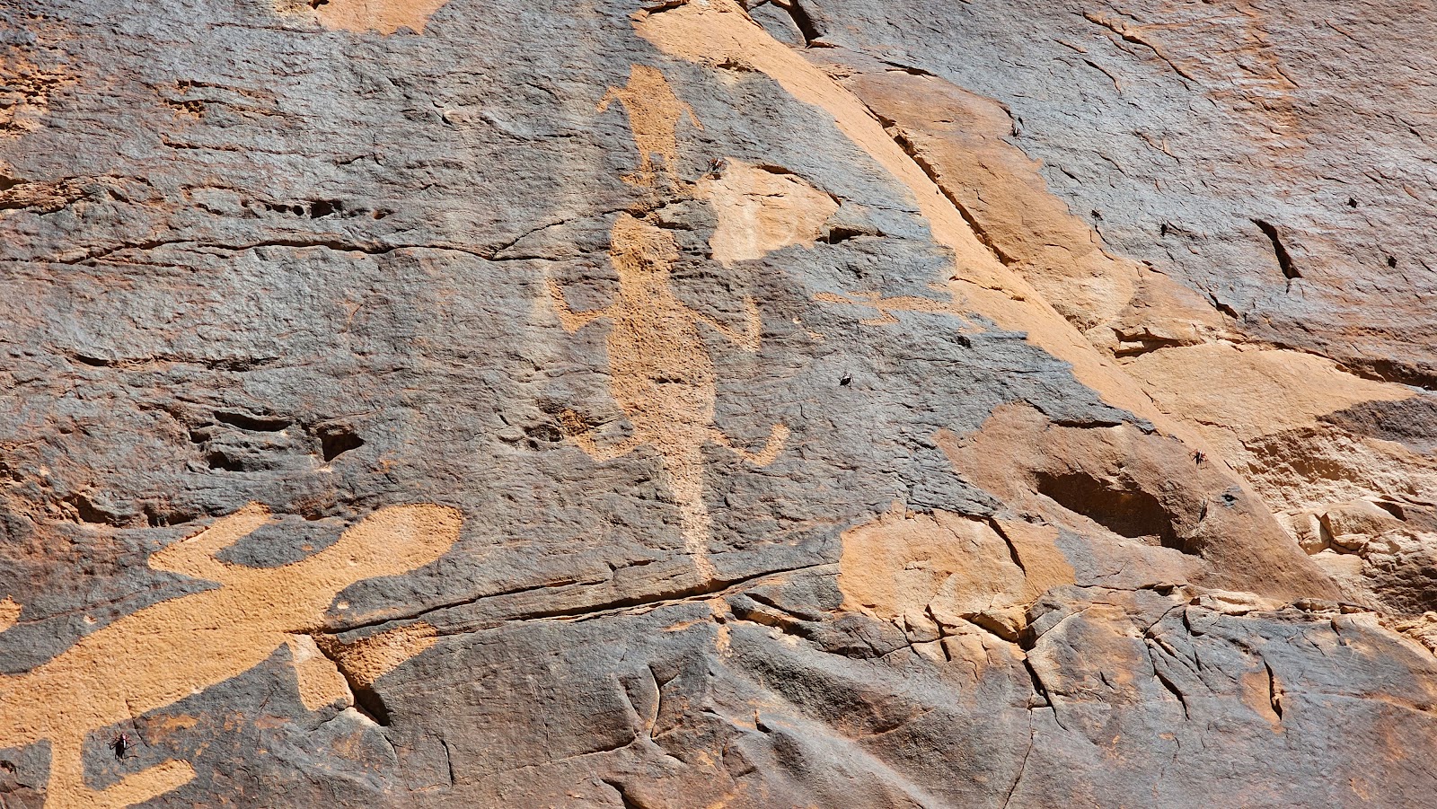
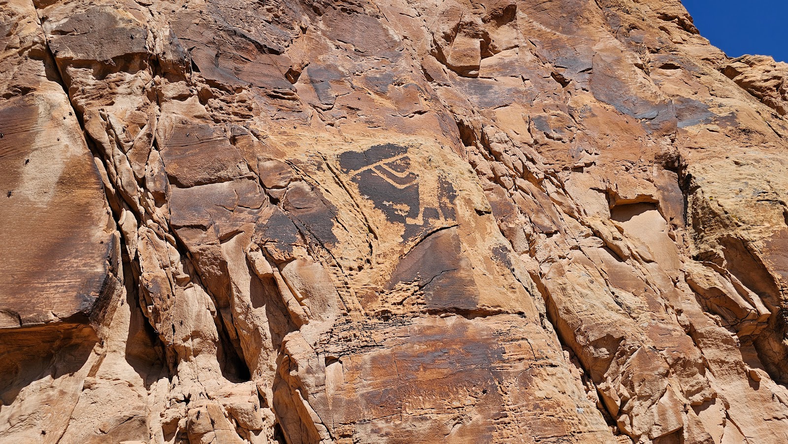
They sure do like their dinosaurs here in Northestern Utah.

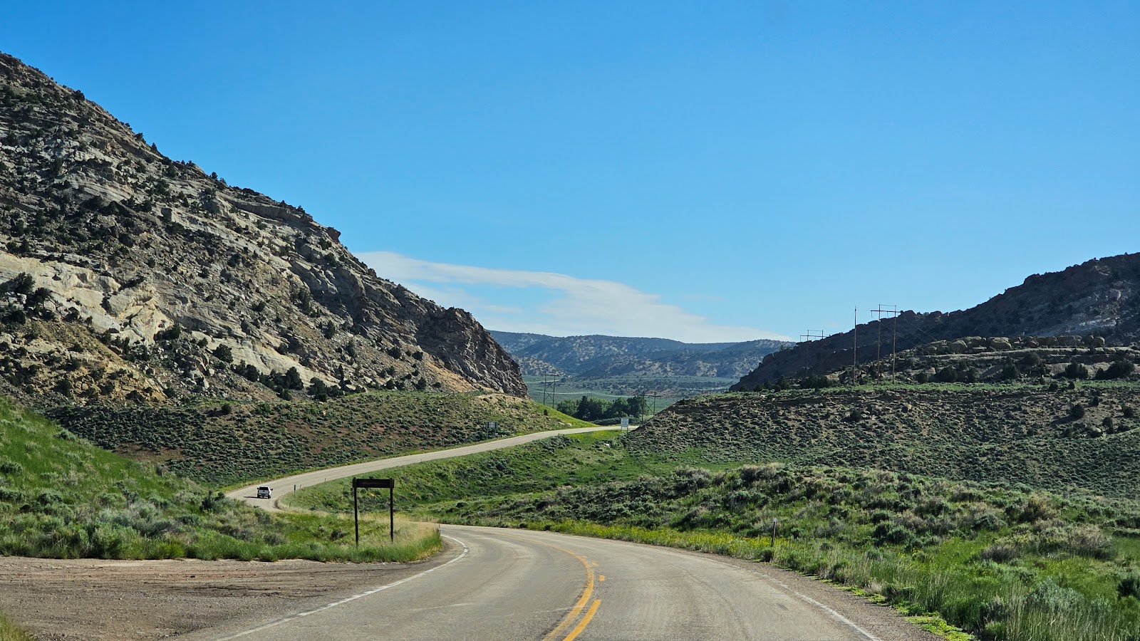
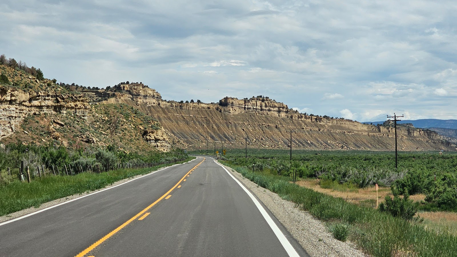
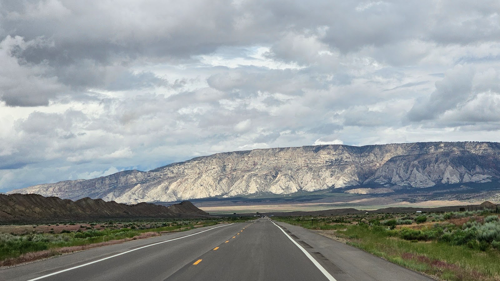
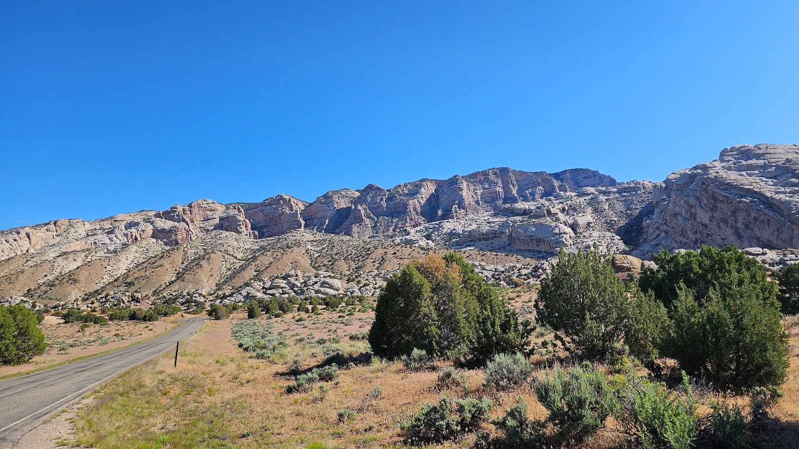
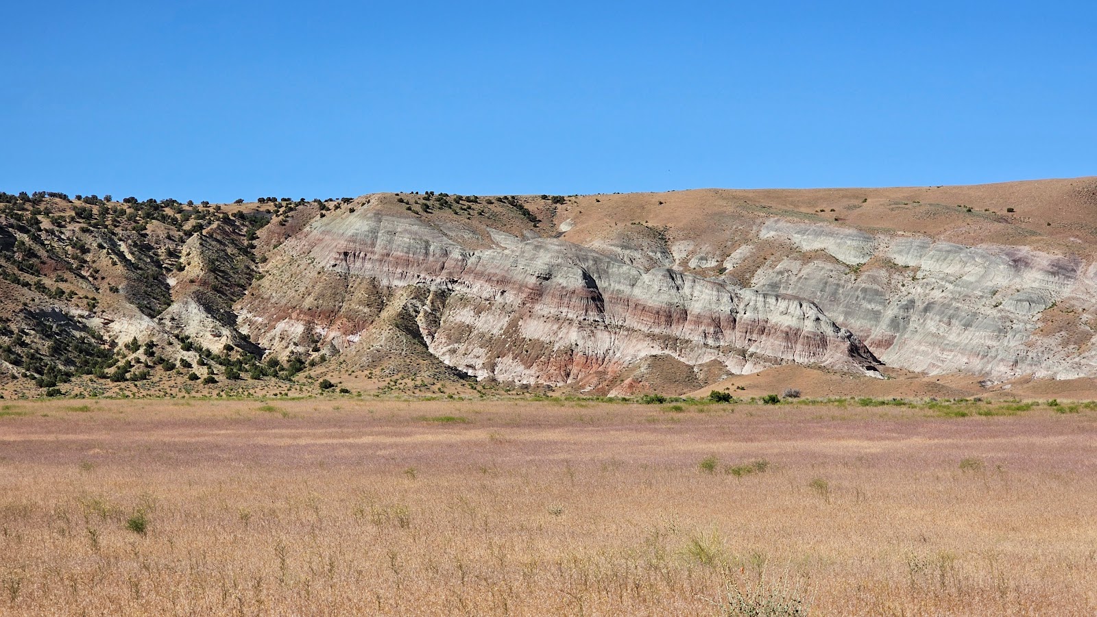
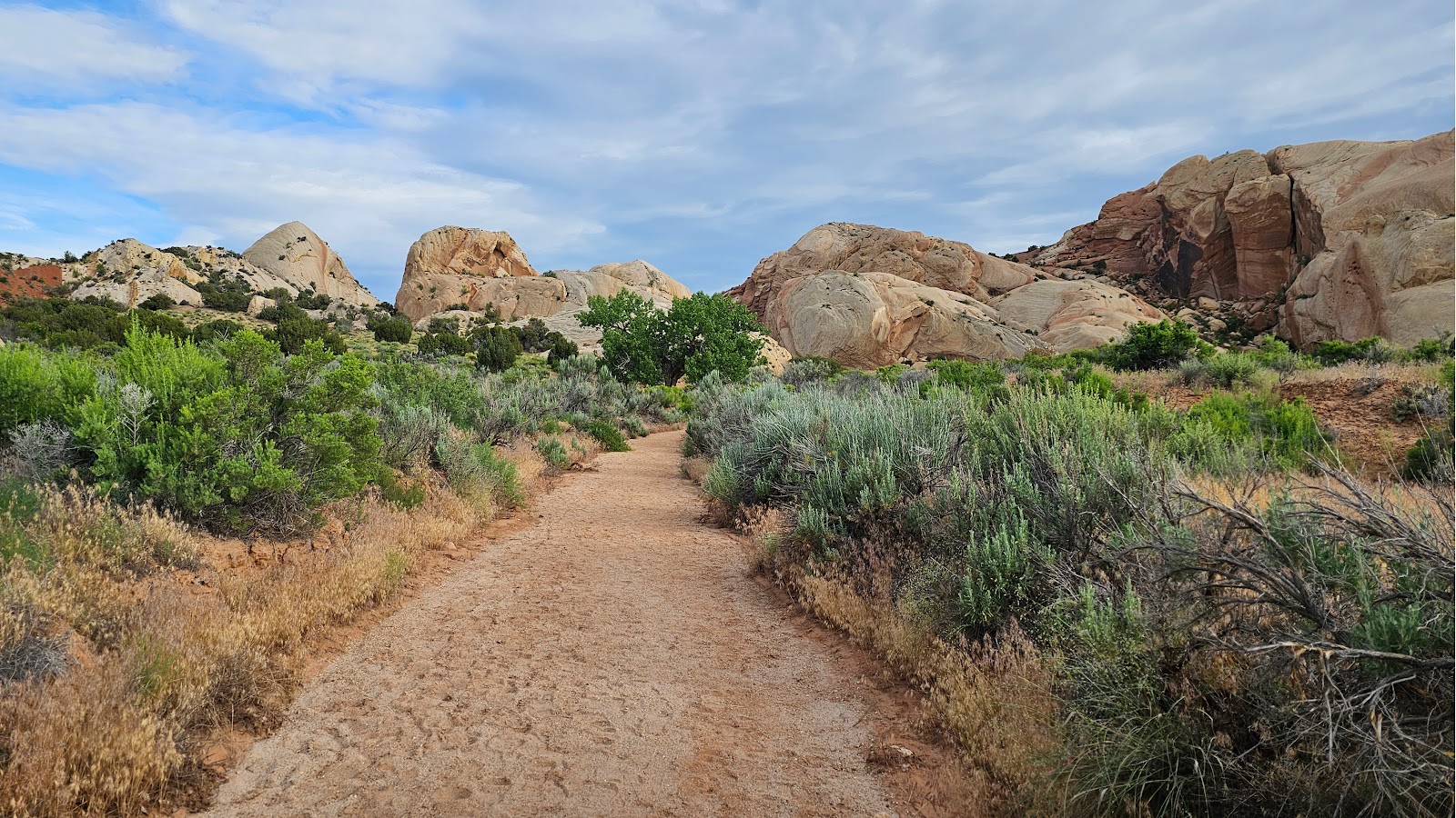
It was in Vernal where we turned right and headed due north on US-191. This road will take us right to the entrance of Cedar Springs Campground just 39.5-miles from here.


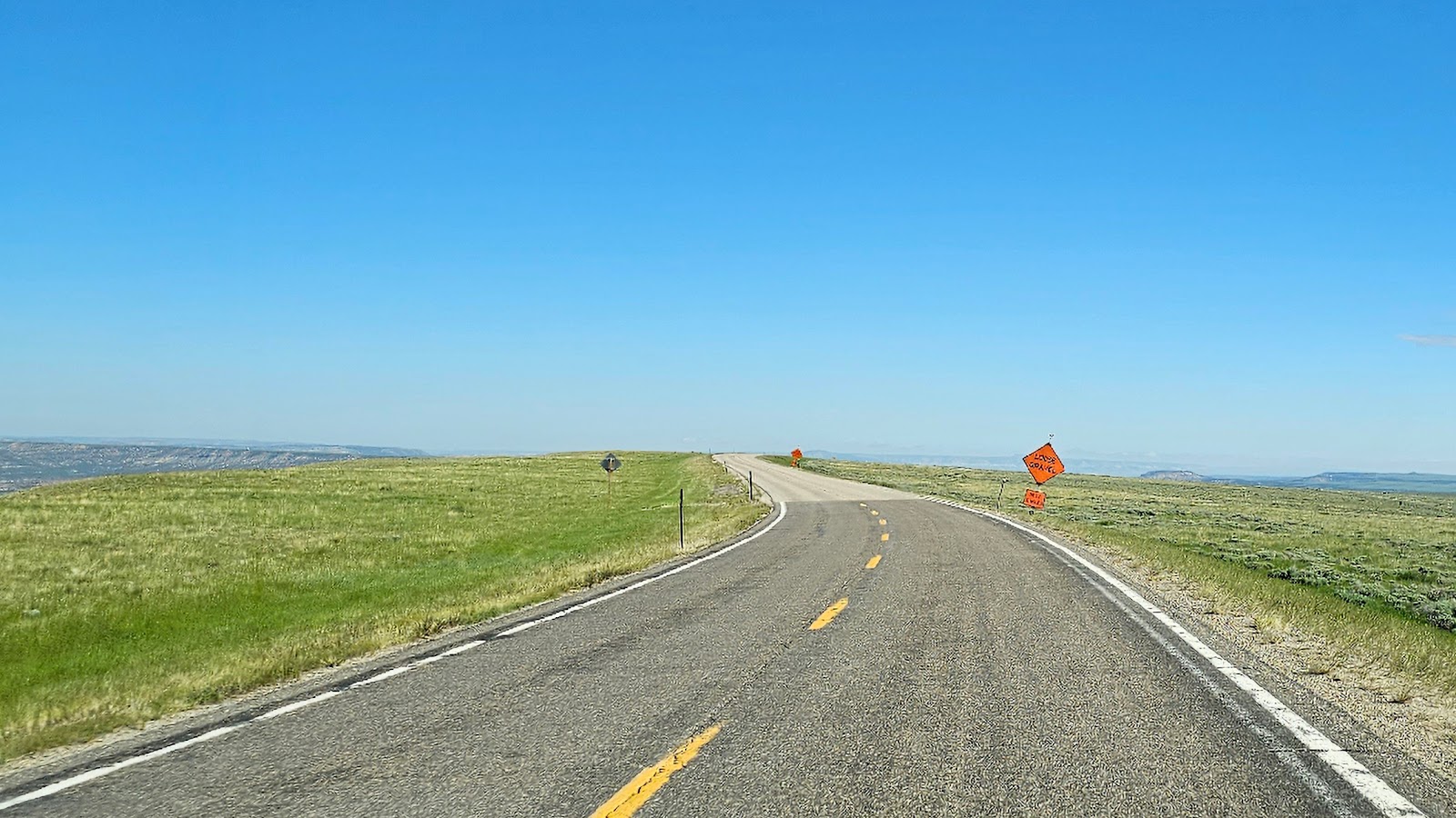
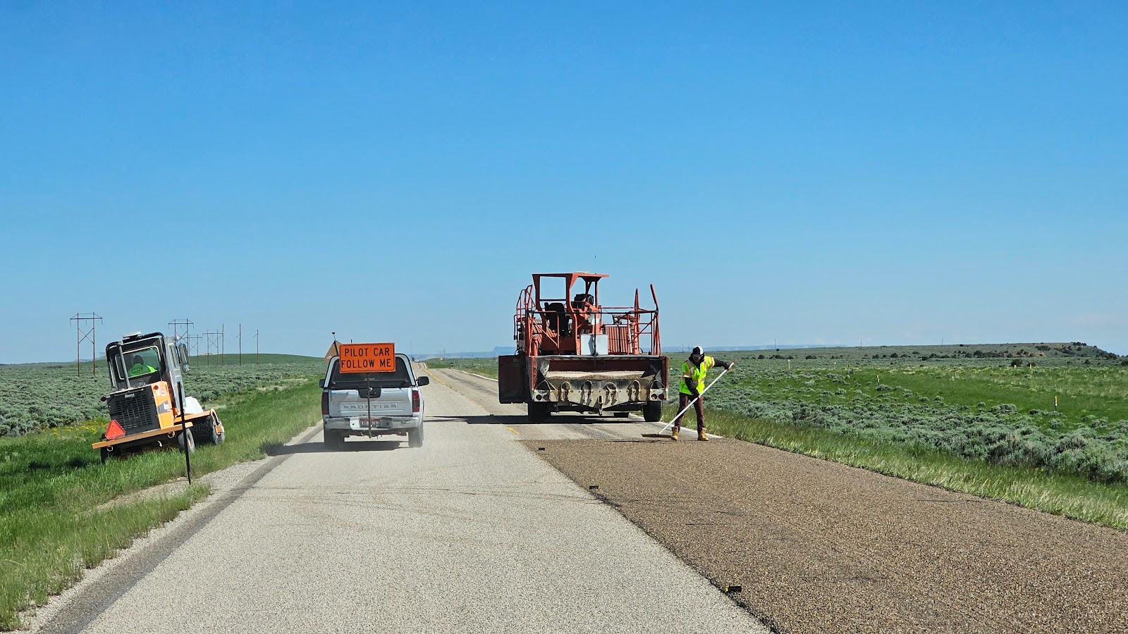
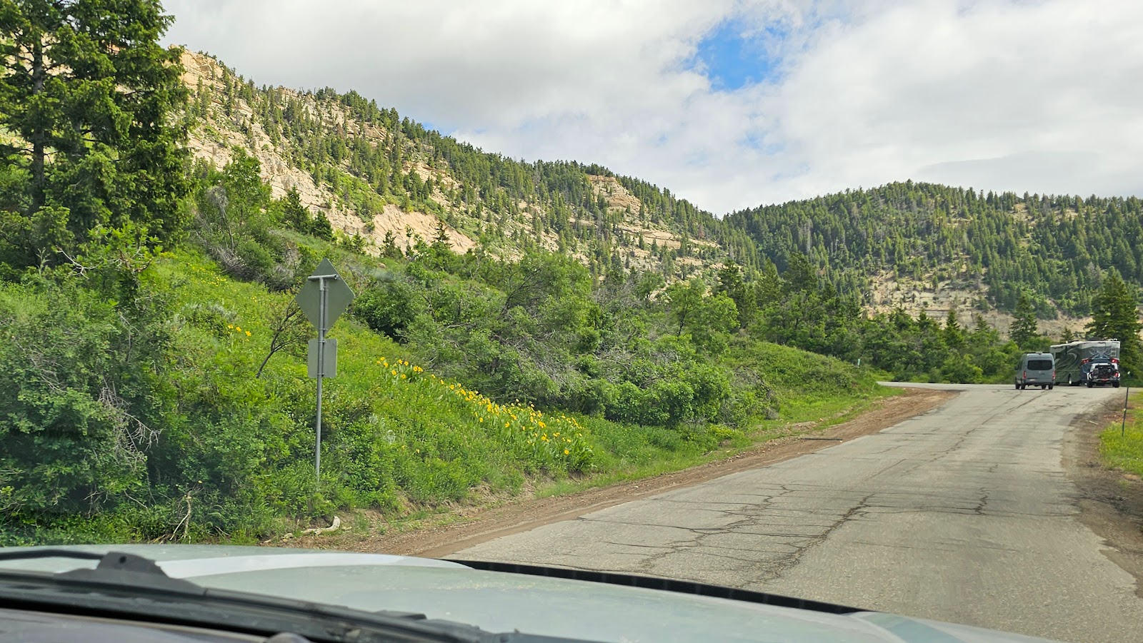
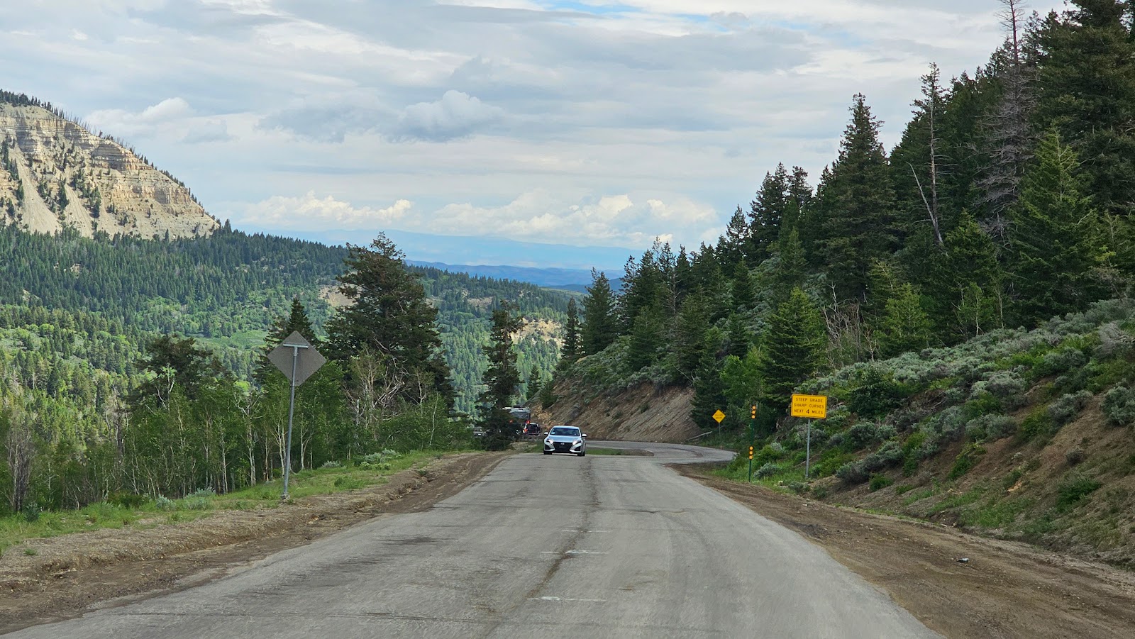
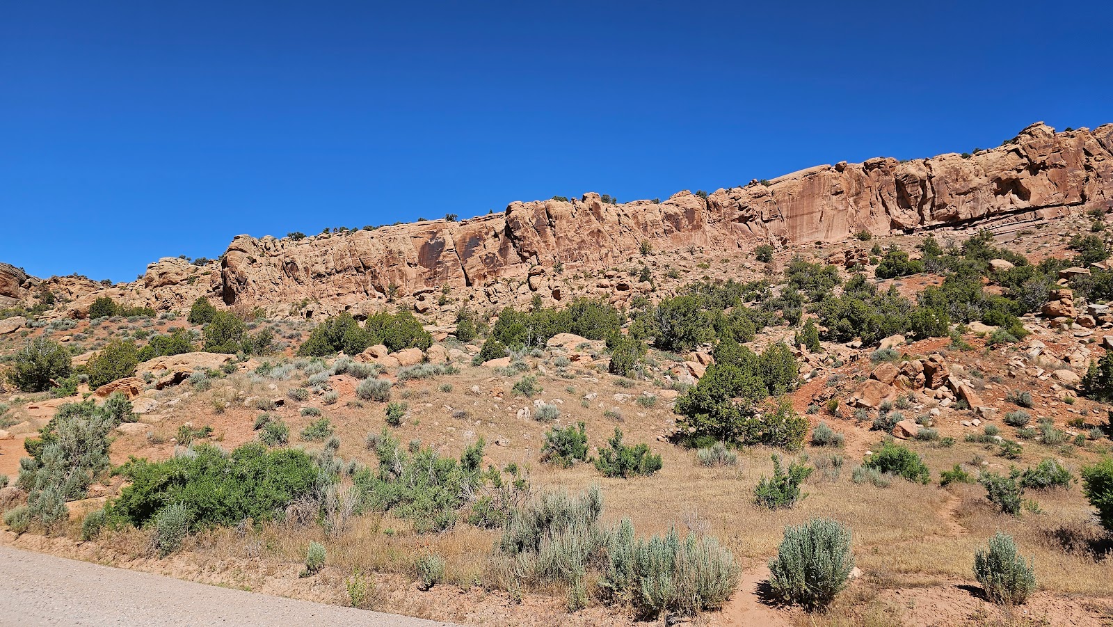
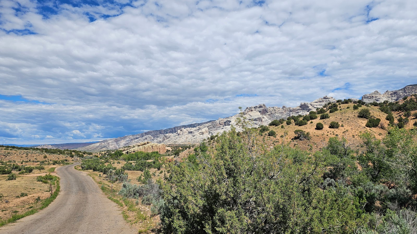
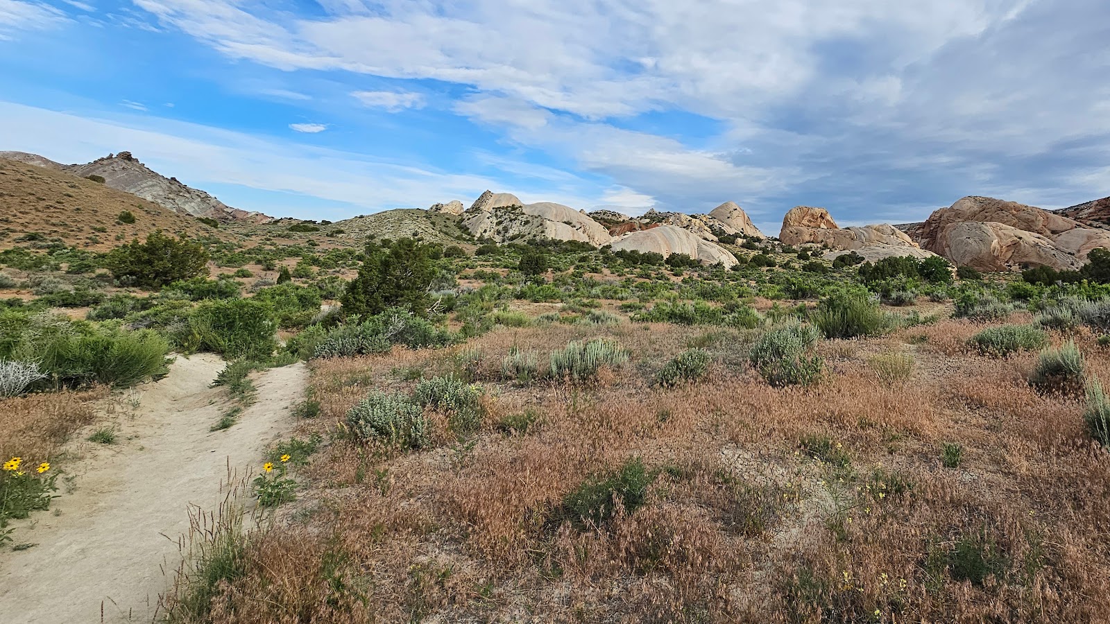
It was about 20-miles up this stretch of road where we met with the "perfect storm" of road conditions that had us pulling off the road to give ROVER a rest.

When I say "perfect storm" I mean first the air temps today are in the upper 80°Fs. When you factor in a 5.5-mile stretch of road that is "continuously" gaining nearly 1700' in elevation with 6-8% road grades it's not a good situation.

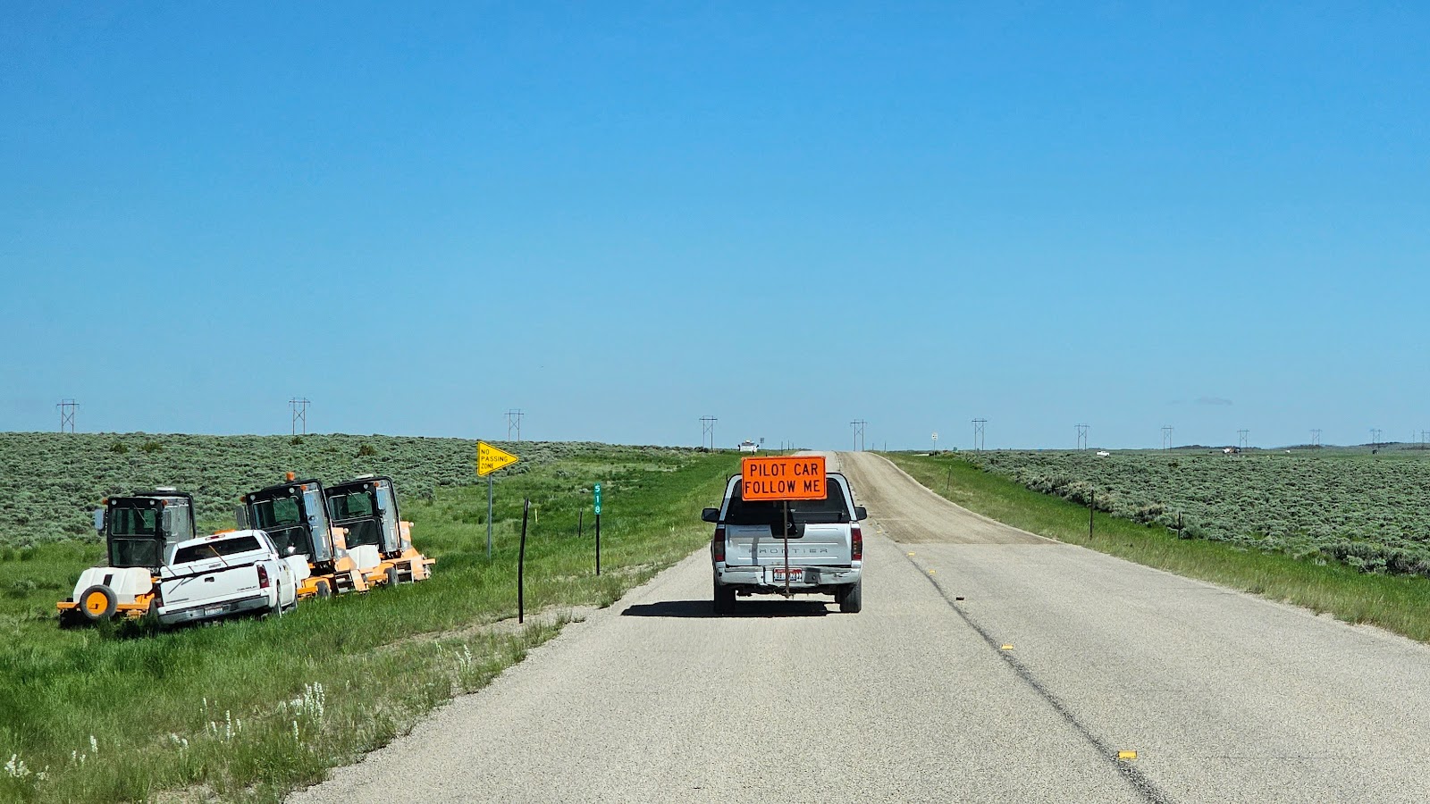
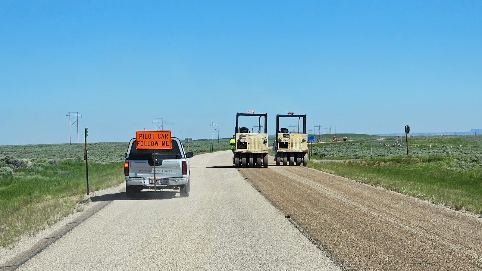
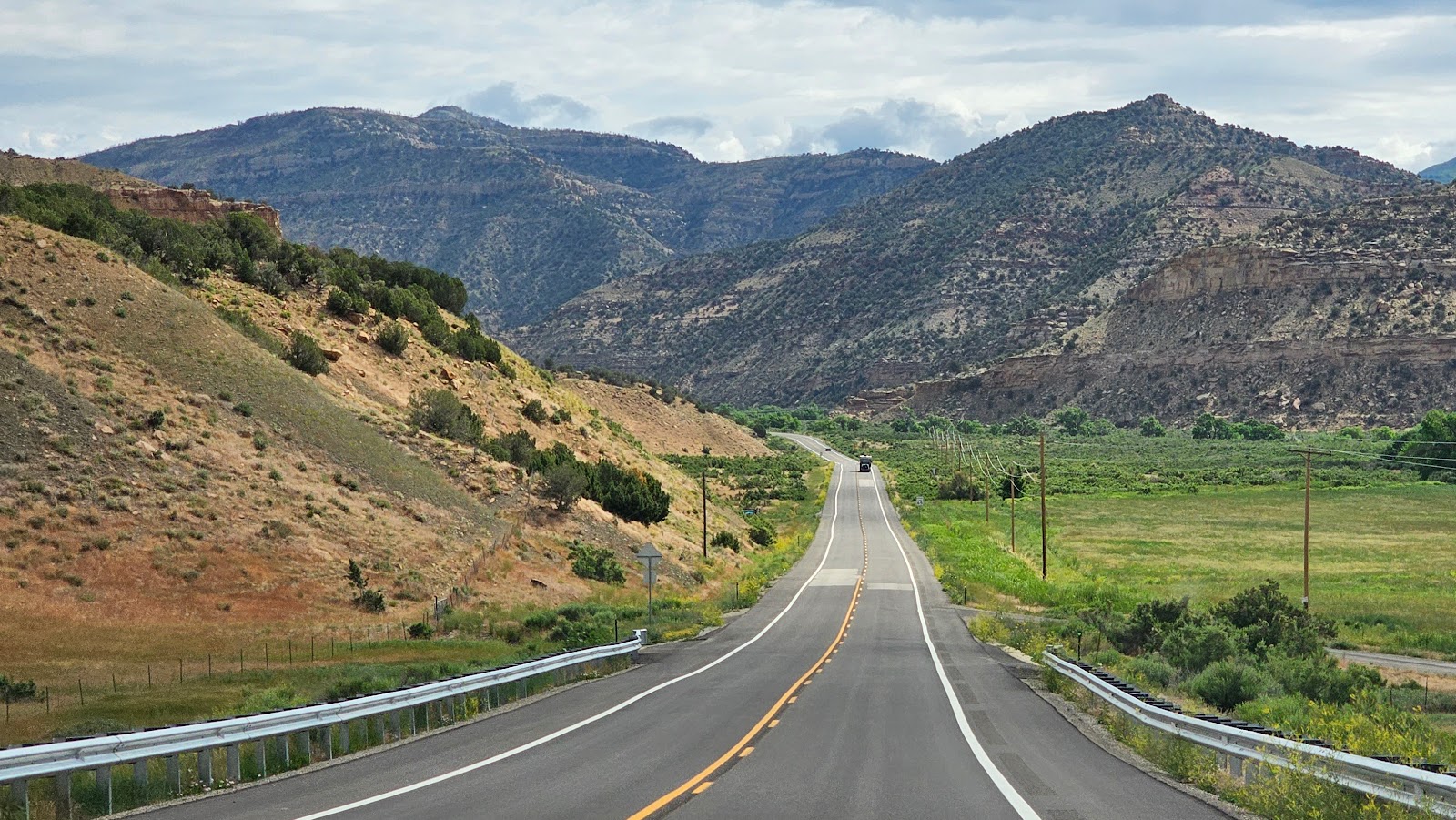
It's nothing that ROVER hasn't handled before, but the clincher is we were trapped behind an 18-wheeler that was struggling to maintain a 20MPH speed going through all the switchbacks. Each time there was a passing lane all the single cars and trucks were quick to pass us by. Once they had cleared the passing opportunity was over.

I was diligently monitoring the transmission temperature as I always do during a long climb, but neglected to watch the engine temperature. ROVER has a built-in safety feature that when the engine gets too hot it puts the truck in "limp mode" and won't allow it to go any faster that 25MPH.

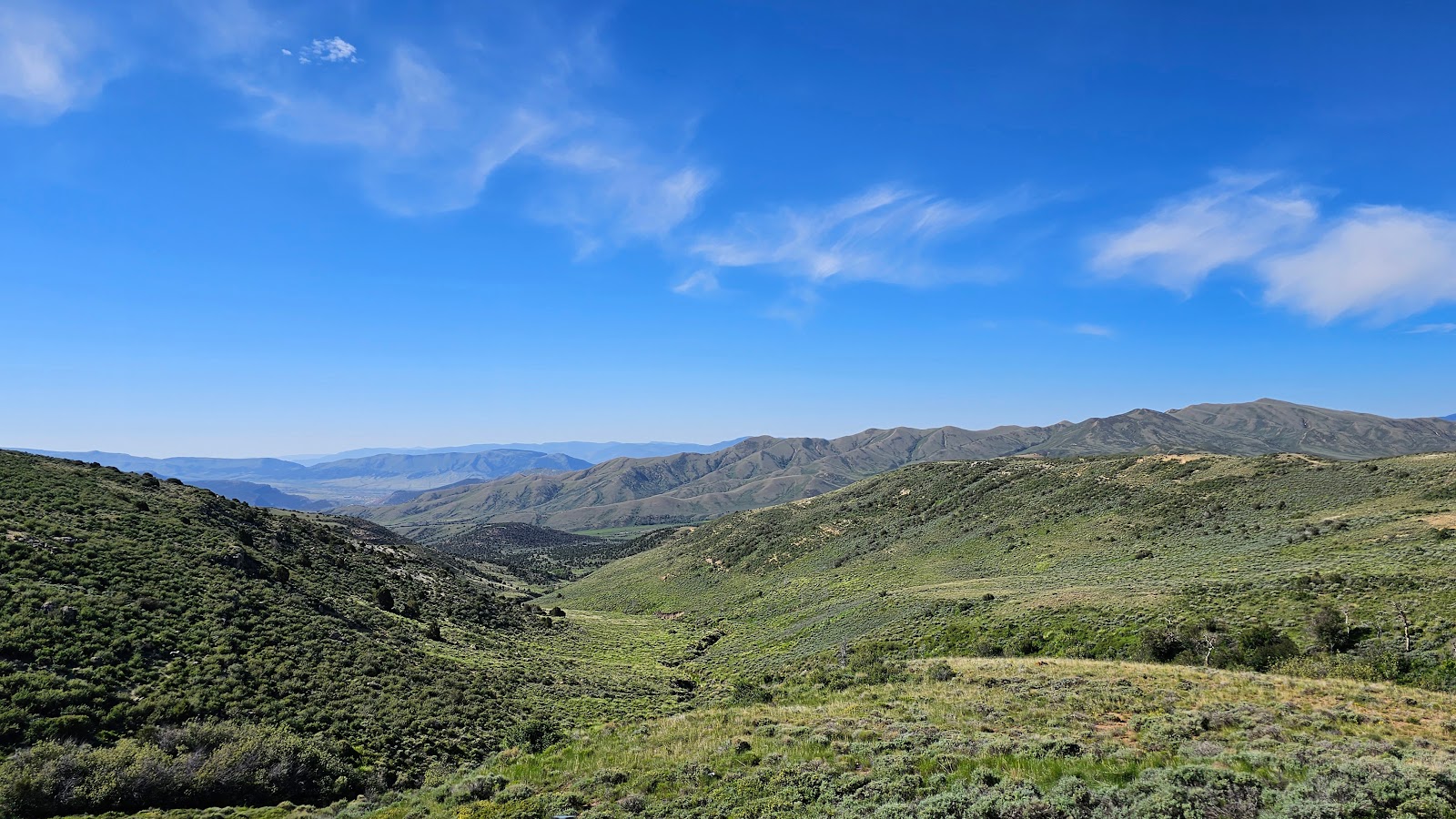
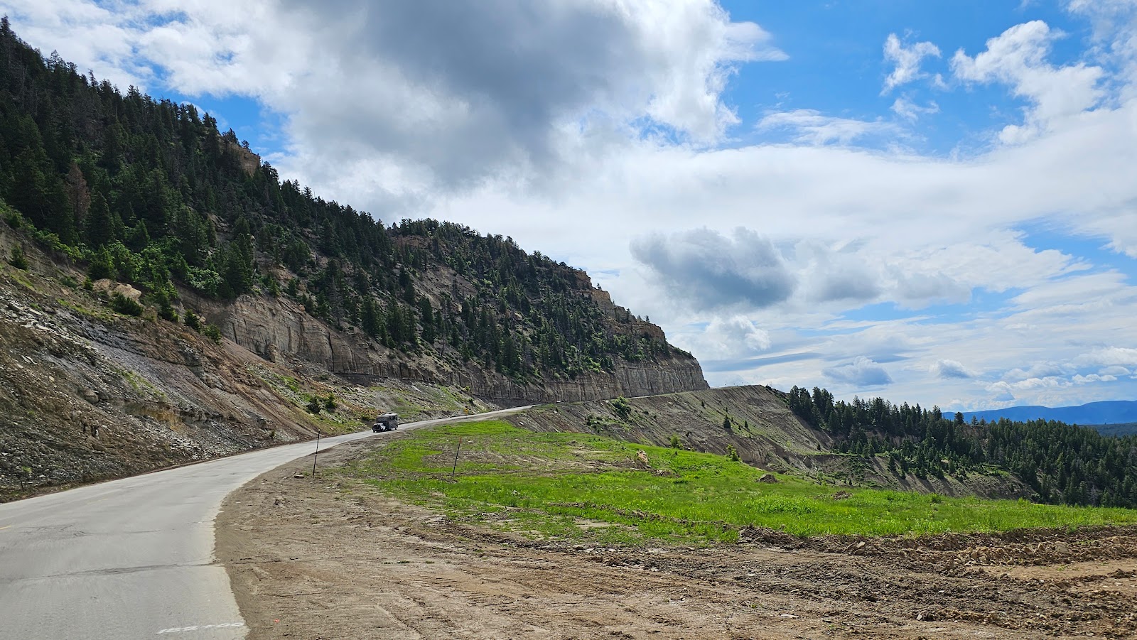
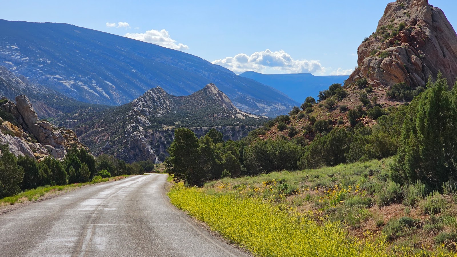
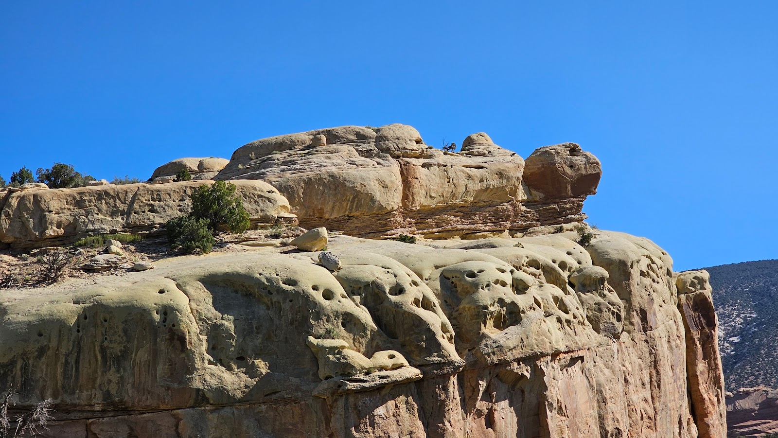
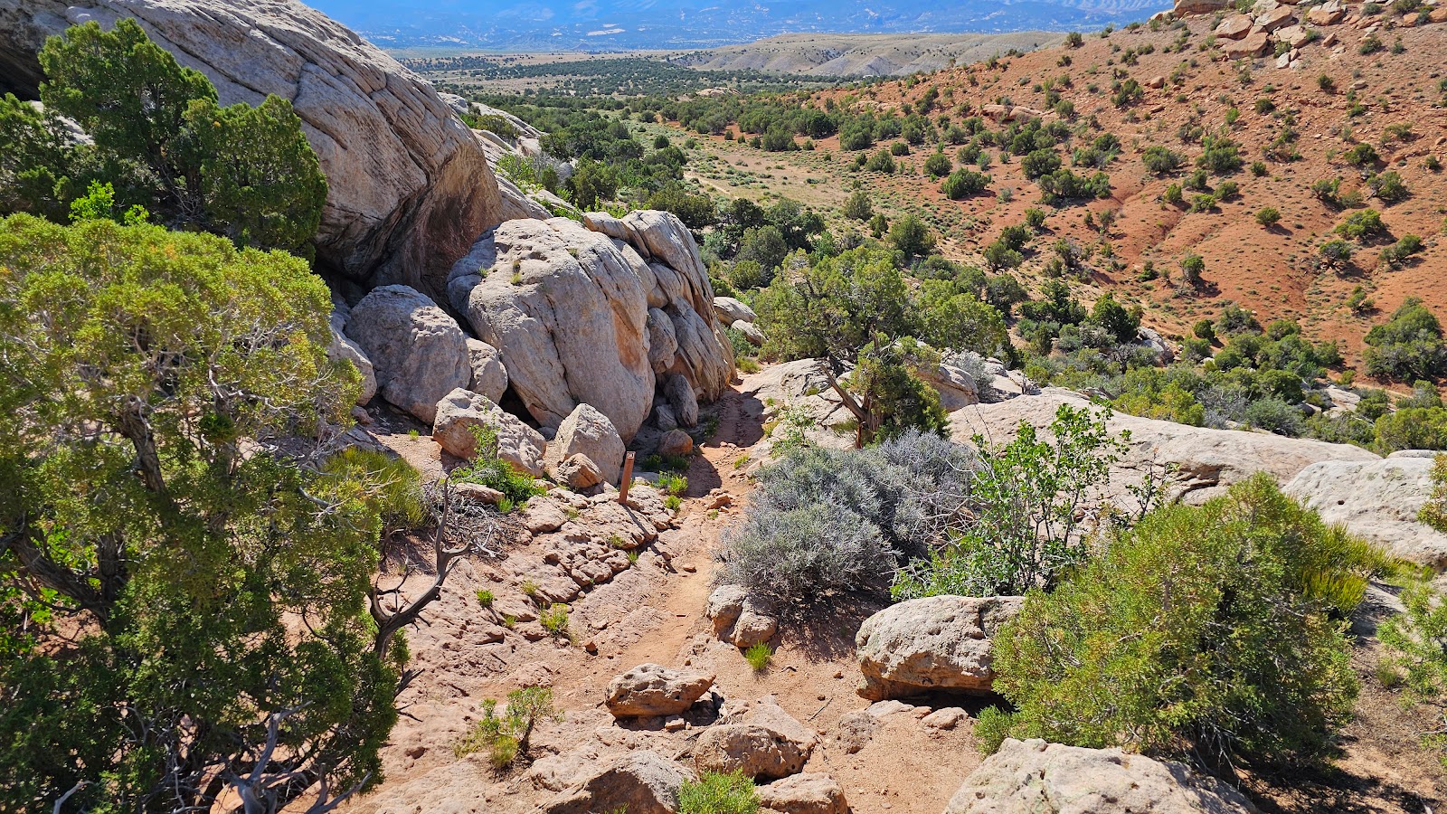
Luckily we were only .5-mile from the summit when this occured and we "limped" into the Scenic Overlook pullout. Thirty minutes later ROVER was feeling better and we proceeded "down" the road to our destination.

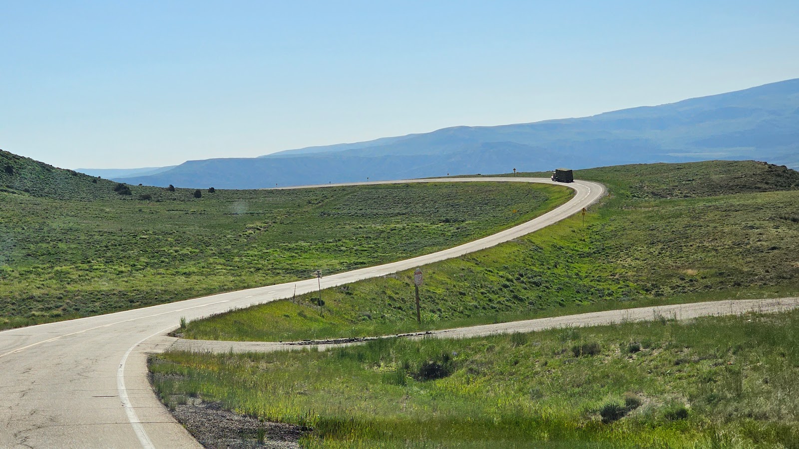
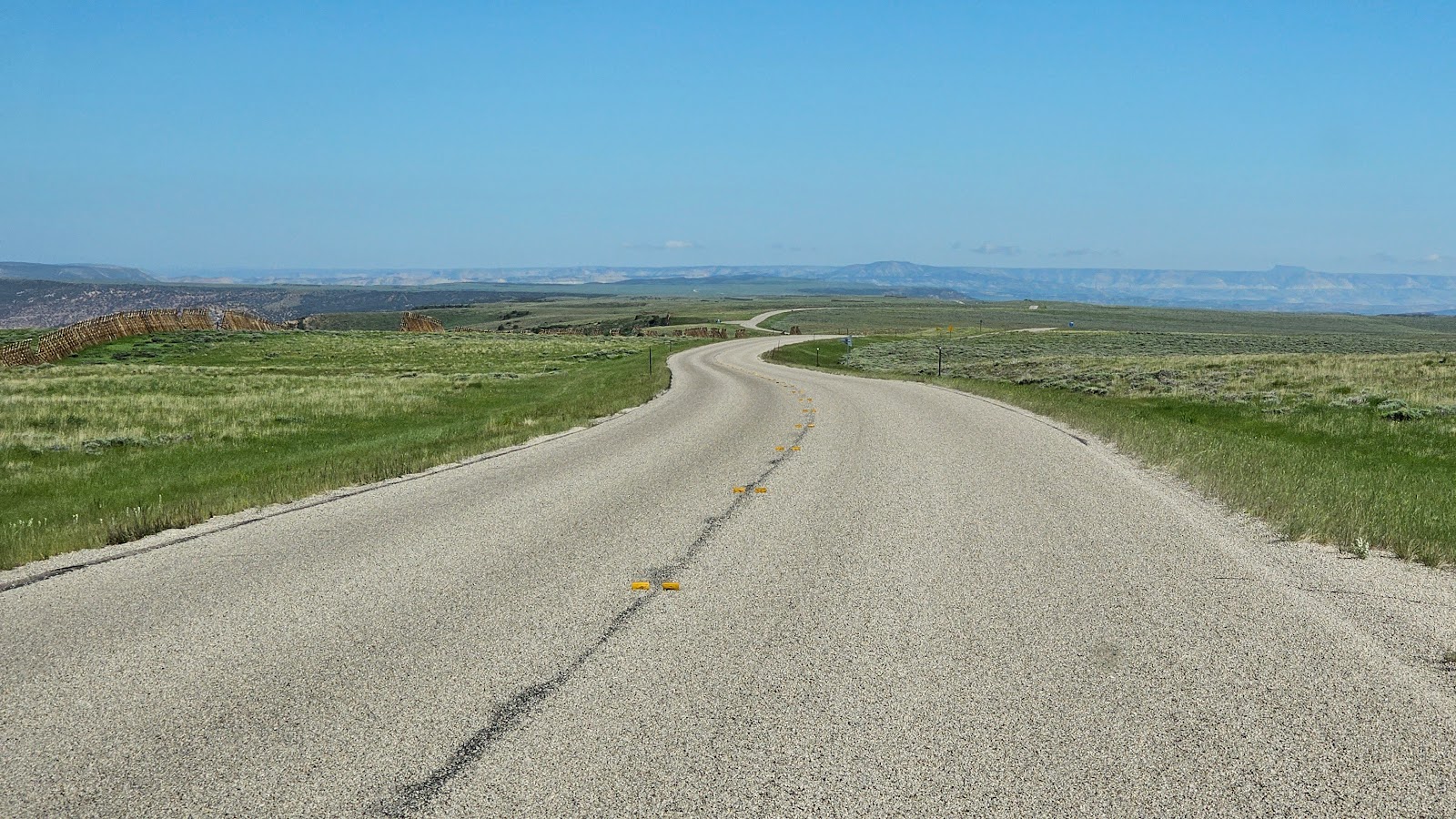
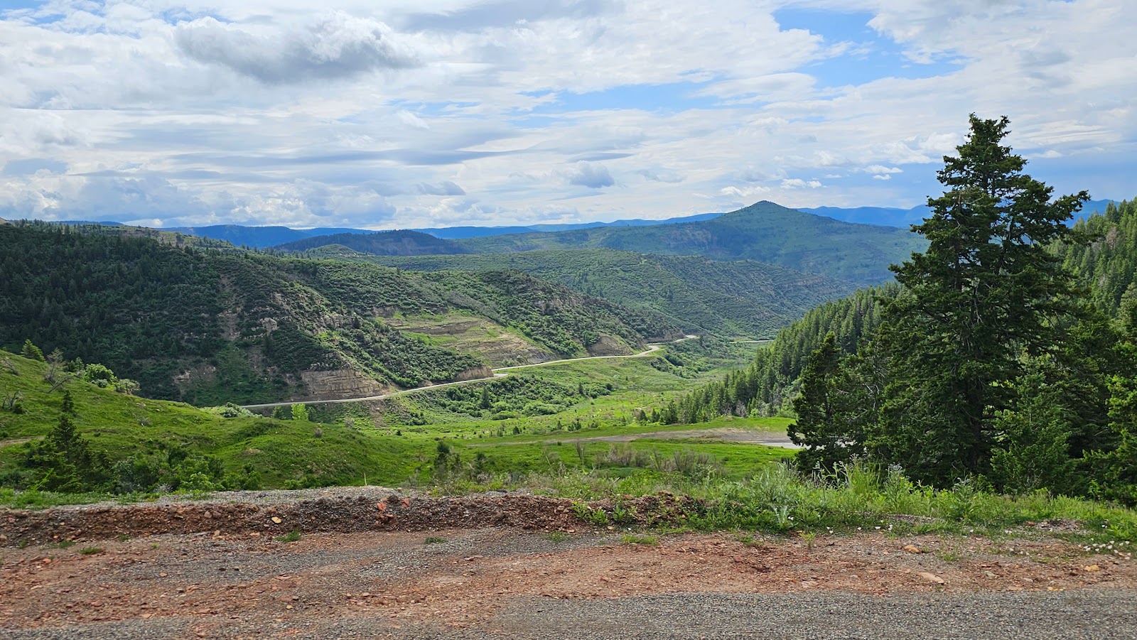
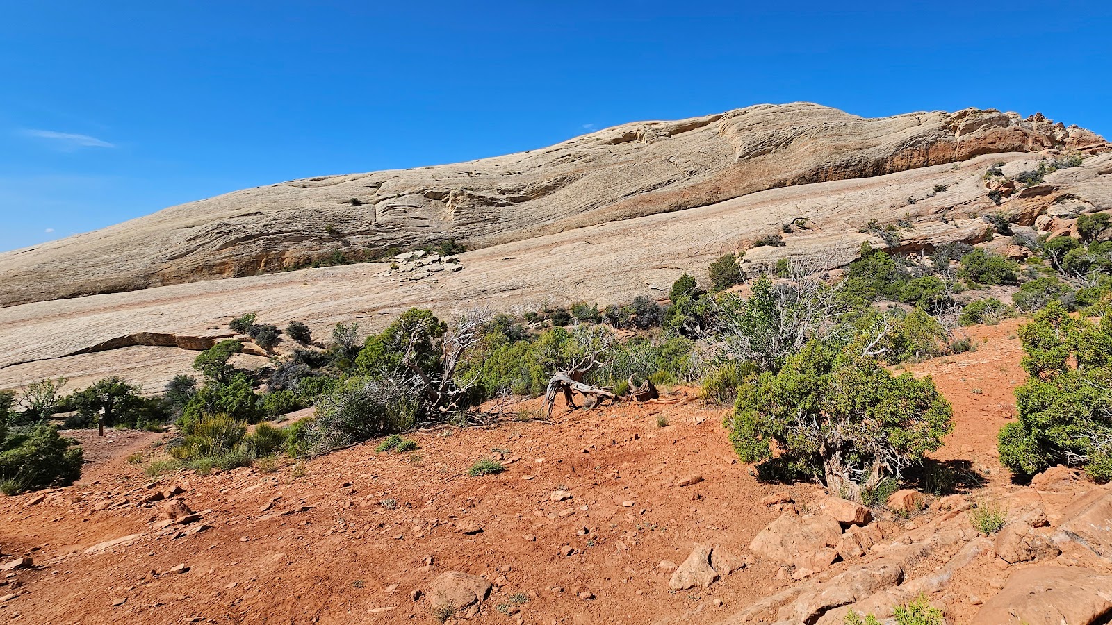
A rare section of downhill roadway on today's drive.

Waiting at the Overlook for ROVER to "cool off".

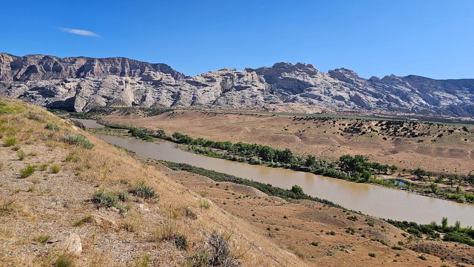
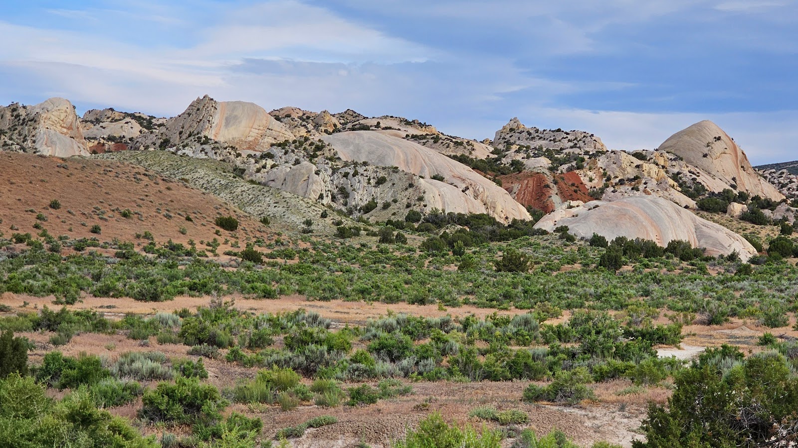
After the summit it was all downhill to the campground.

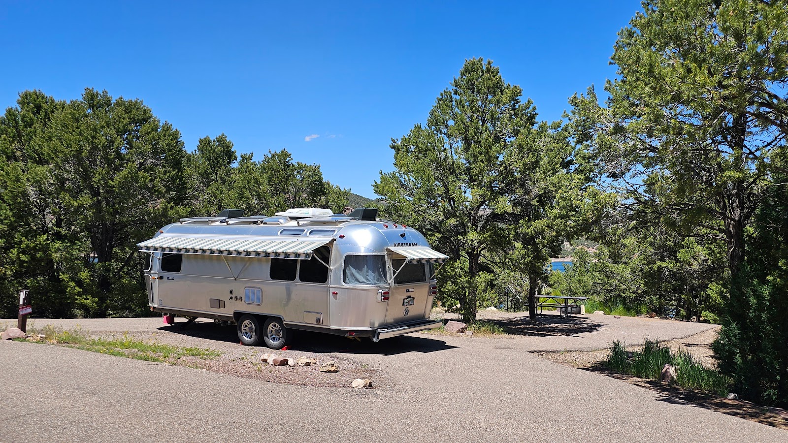
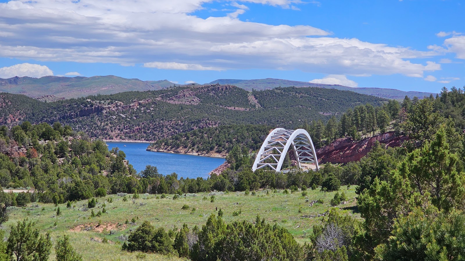
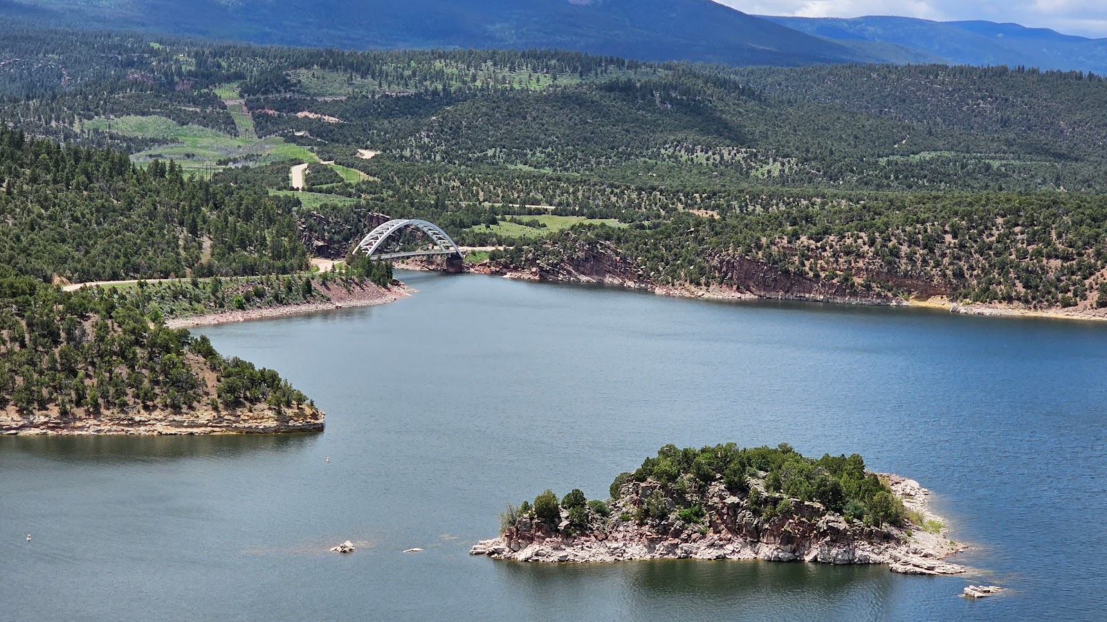
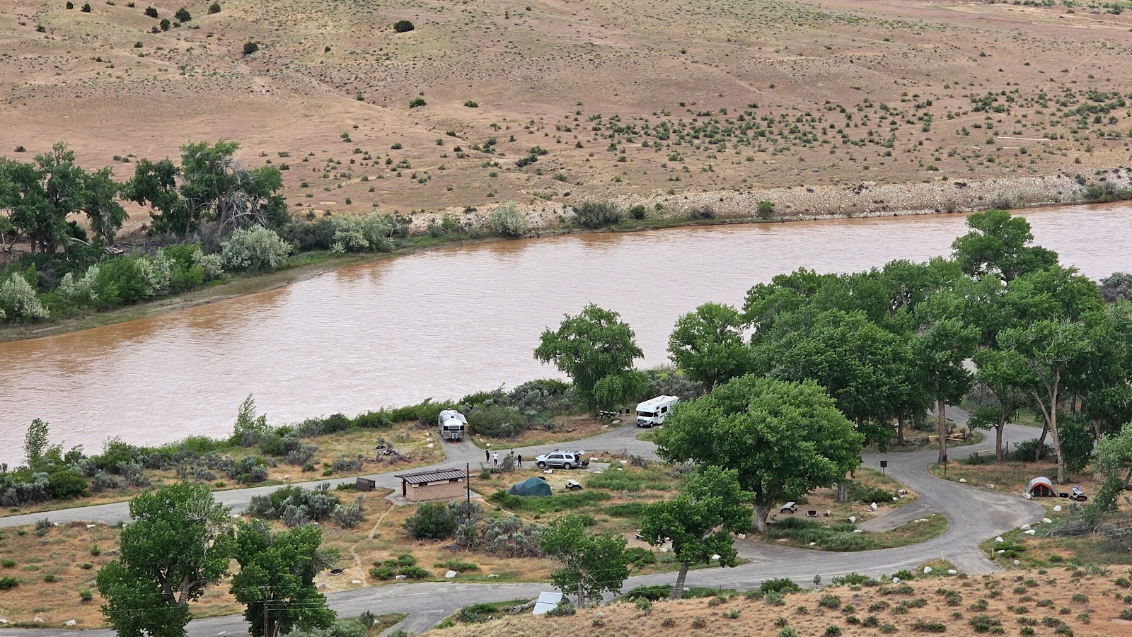
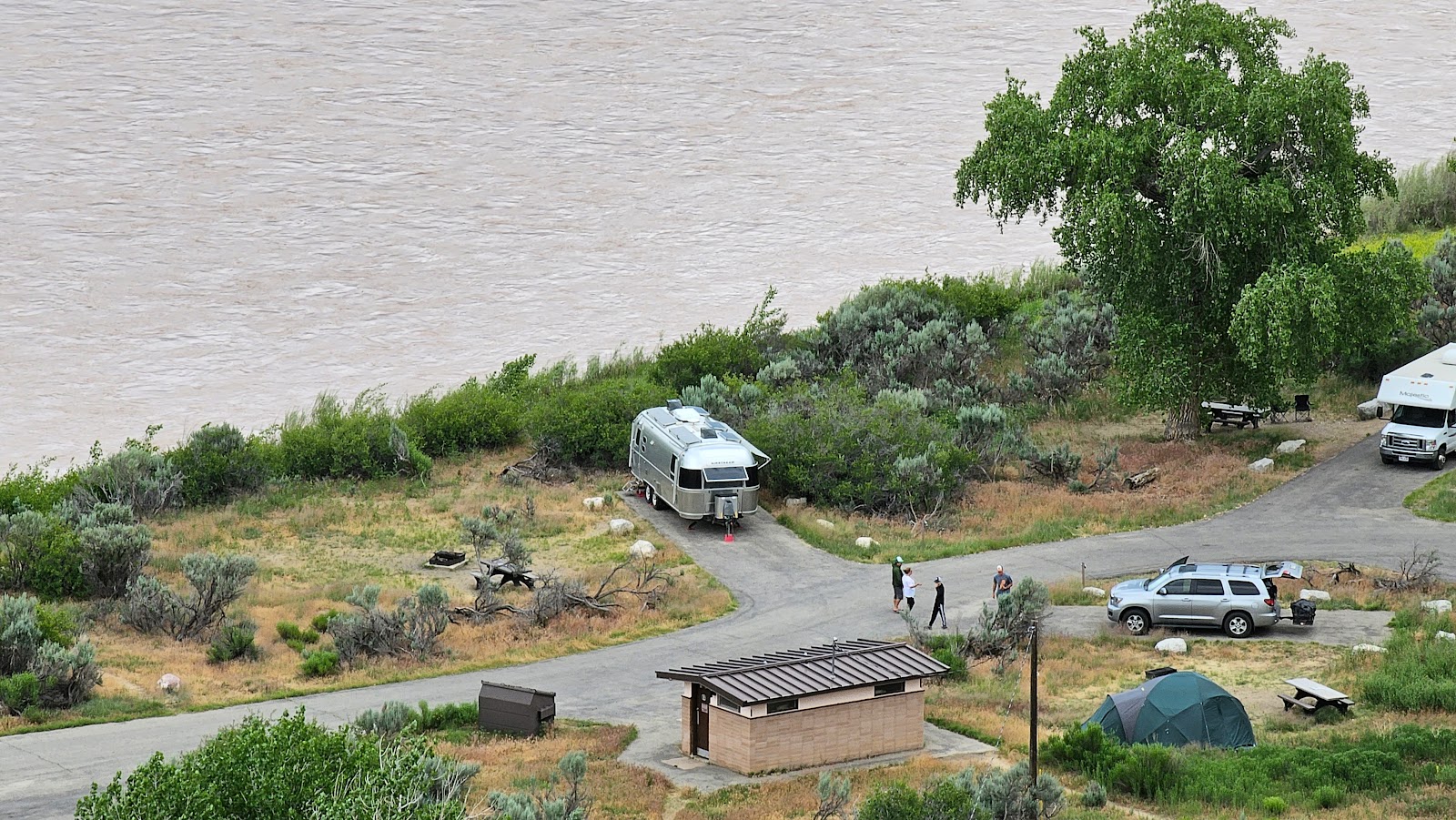
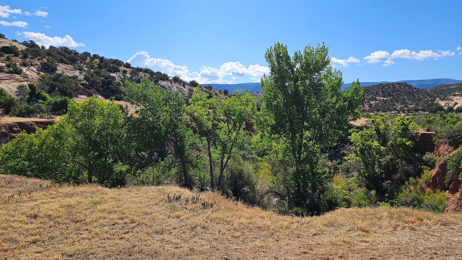
Our campsite is somewhere down by that bridge.


Immediately after disconnecting and getting setup in our campsite, I drove into the small town of Dutch John, UT in search of a gallon of Radiator Coolant. I found out up here they call it Antifreeze, that's what I get for growing up in Florida.

Tricia stayed behind and finished setting up the interior of THE POD for our brief 2-night visit here. We'll go check out the nearby Flaming Gorge Dam tomorrow.

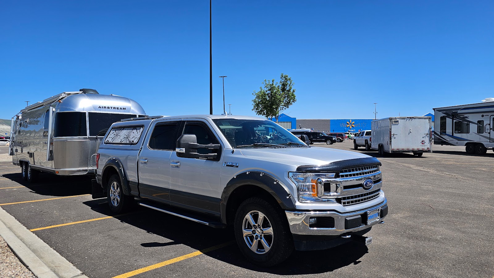
Our pullthrough site made quick work of disconnecting and we found it to be perfectly level.

All we had to do was raise up the front a little and we were all done.

We have a slightly obstructed view of the Flaming Gorge Reservoir from our picnic table.


TUESDAY - We waited around 
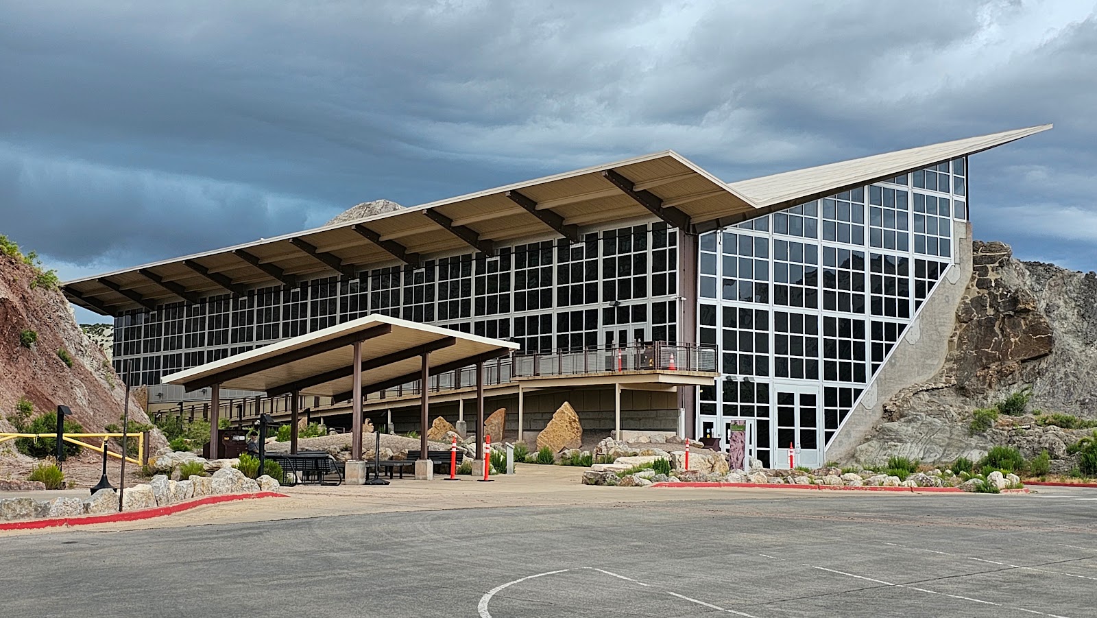
THE POD until late morning today before heading out to explore the Flaming Gorge Dam's Visitor Center.

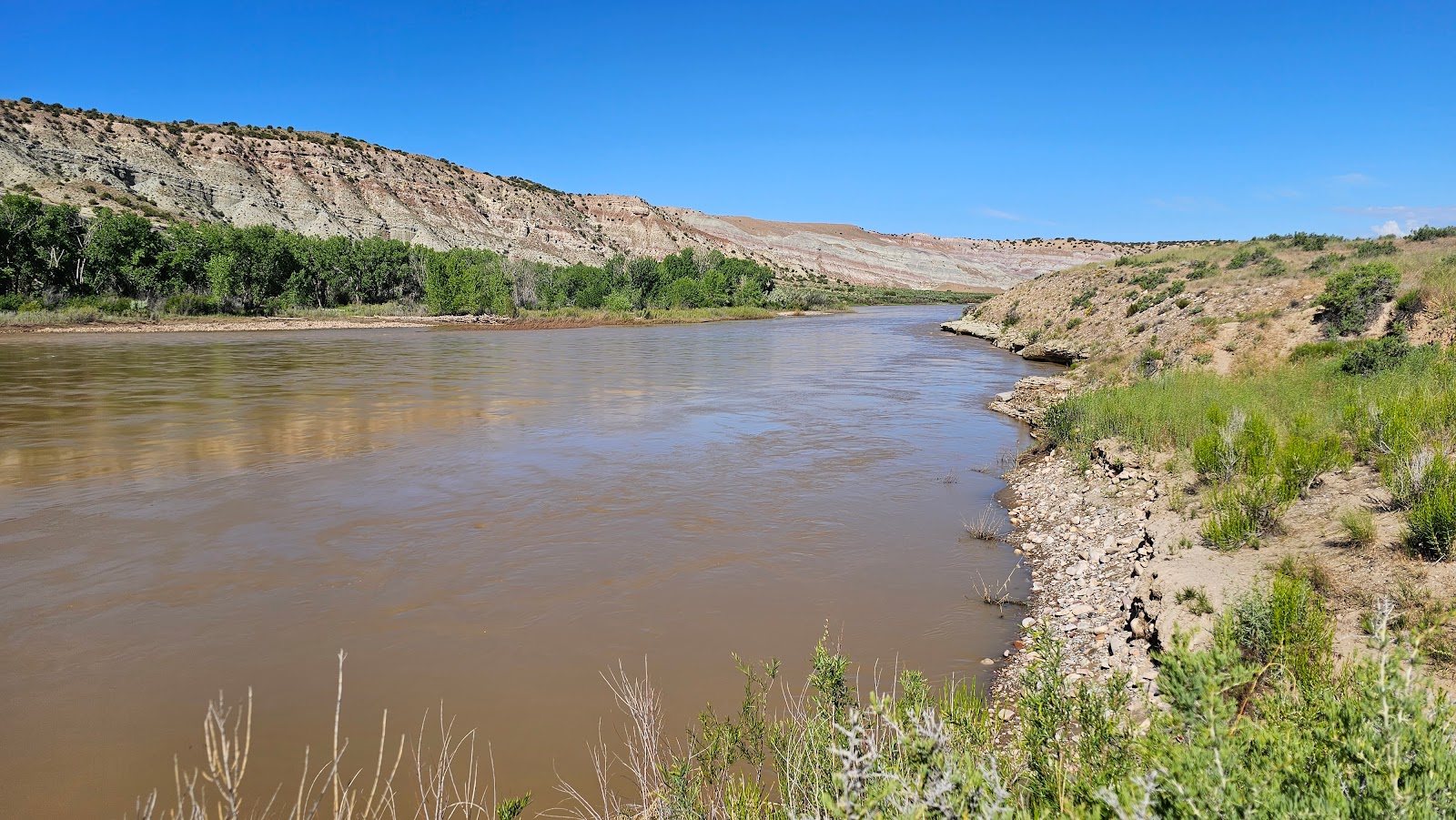
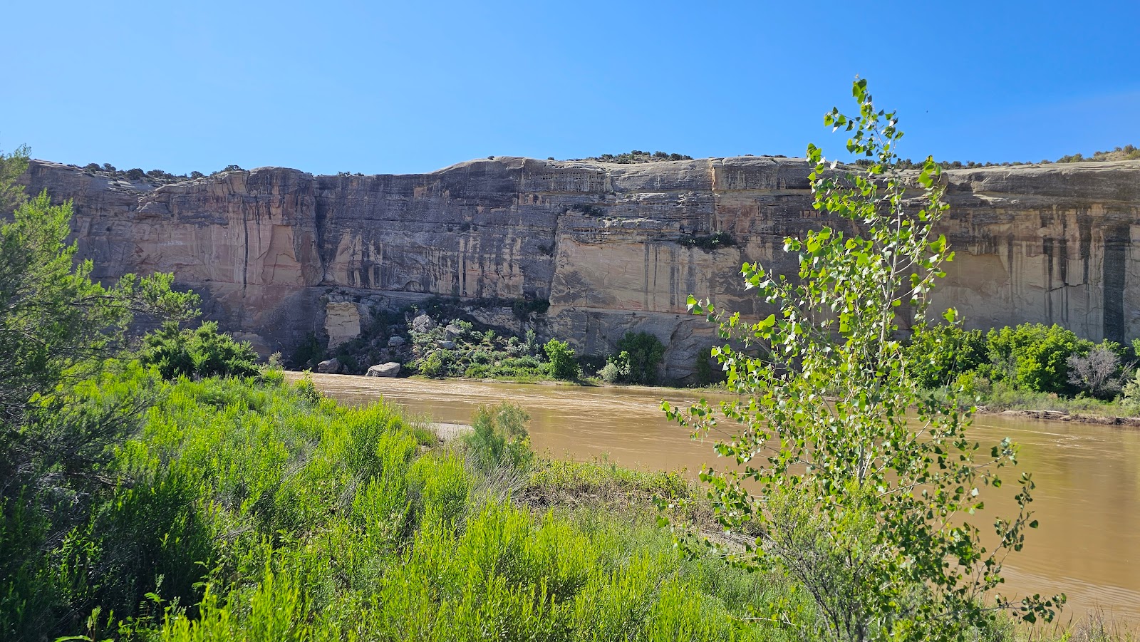
Before reaching the dam we had to cross over Cart Creek Bridge. This bridge was completed in 1962, a full two years before the dam was completed. So for those two years (1962-63) this massive bridge crossed high above a tiny little creek. Today however, after the completion of the dam and the creation of the Flaming Gorge Reservoir, it now allows passage over a wide and deep river.

After crossing over Cart Creek Bridge, or maybe a more appropriate name today would be the Cart Creek Bay Bridge, we were only ¾-mile from the Flaming Gorge Visitor Center.

Inside of the Visitor Center I got my Passport Book stamped before we watched a documentary film filled with original footage of the dam being constructed. There was even a segment featuring President John F Kennedy ceremoniously "hitting the button" to start the massive generator that would create the hydro-electricity here for the first time.

That ceremony took place on September 27, 1963. Who knew that less than two months later on November 22, 1963 President Kennedy would be assassinated. First Lady, Claudia “Lady Bird” Johnson, would later offically dedicate the Flaming Gorge Dam on August 17, 1964.


FLAMING GORGE DAM


SLIDE NUMBER
1OF9

A view of the backside of the dam from the Visitor Center parking lot.
SLIDE NUMBER
2OF9

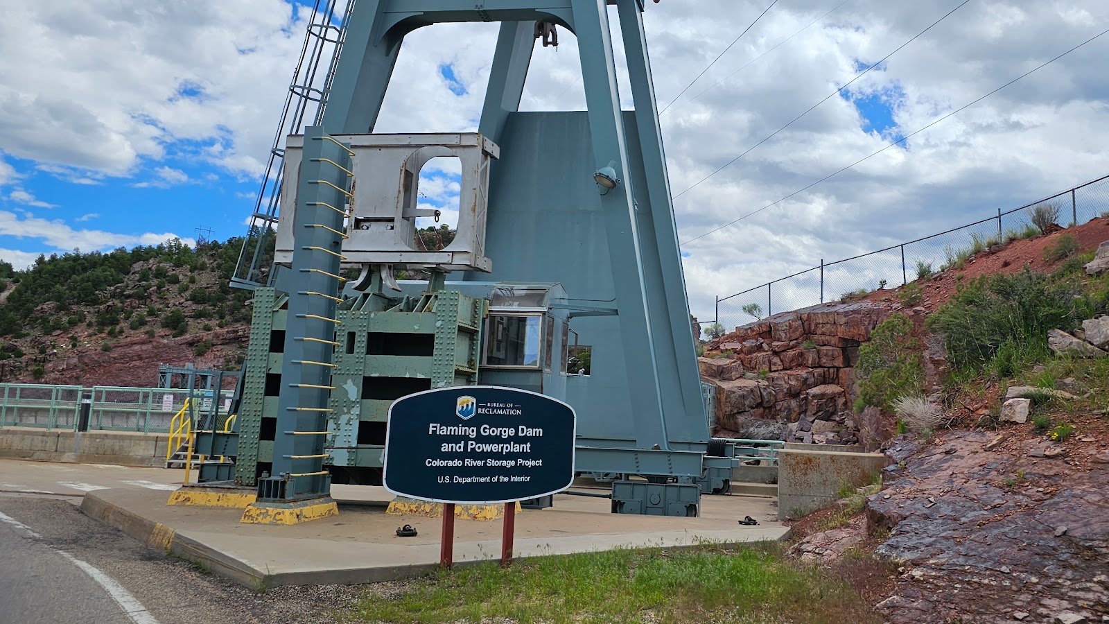
One of the huge "lift towers" used in the construction of the dam.
SLIDE NUMBER
3OF9

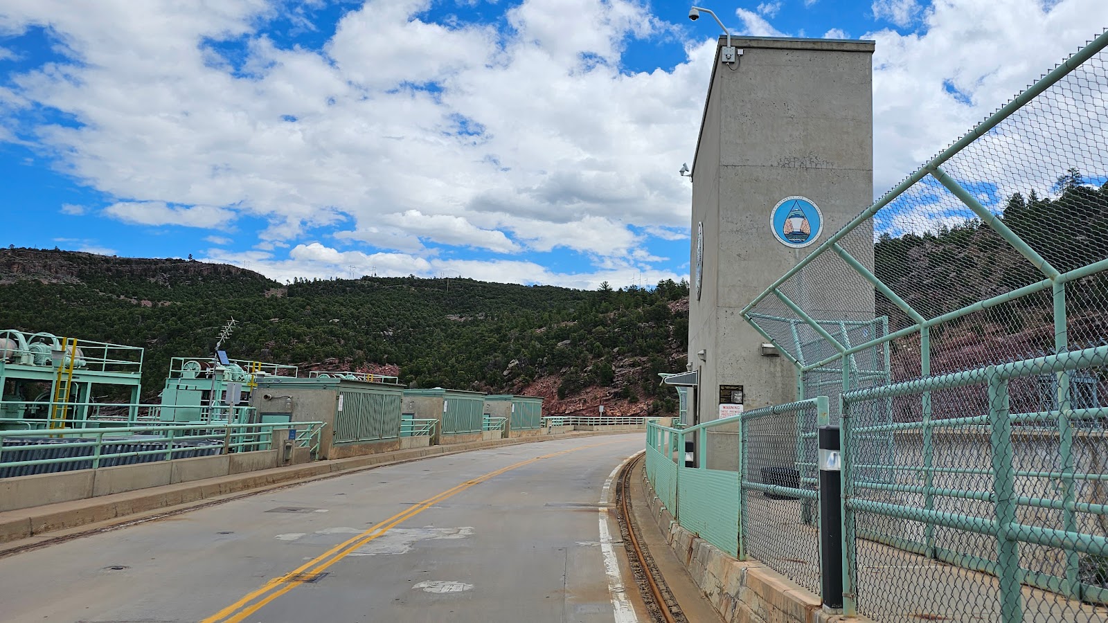
This dam you're actually allowed to drive over. Here we are about halfway.
SLIDE NUMBER
4OF9

Pass the edge of the dam there was still a lot of road to be constructed.
SLIDE NUMBER
5OF9

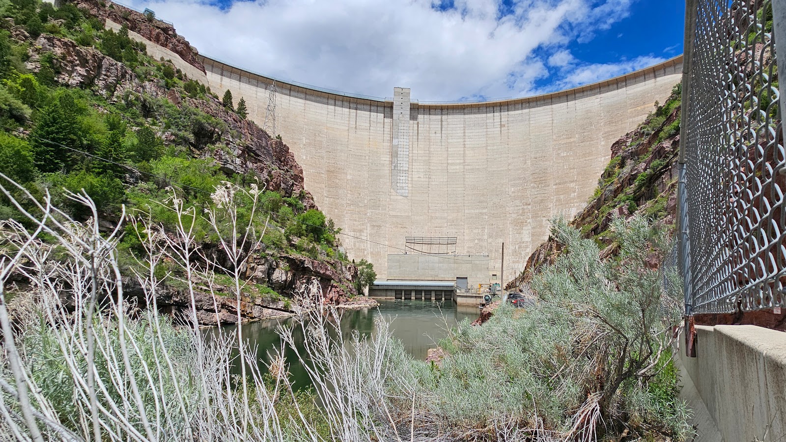
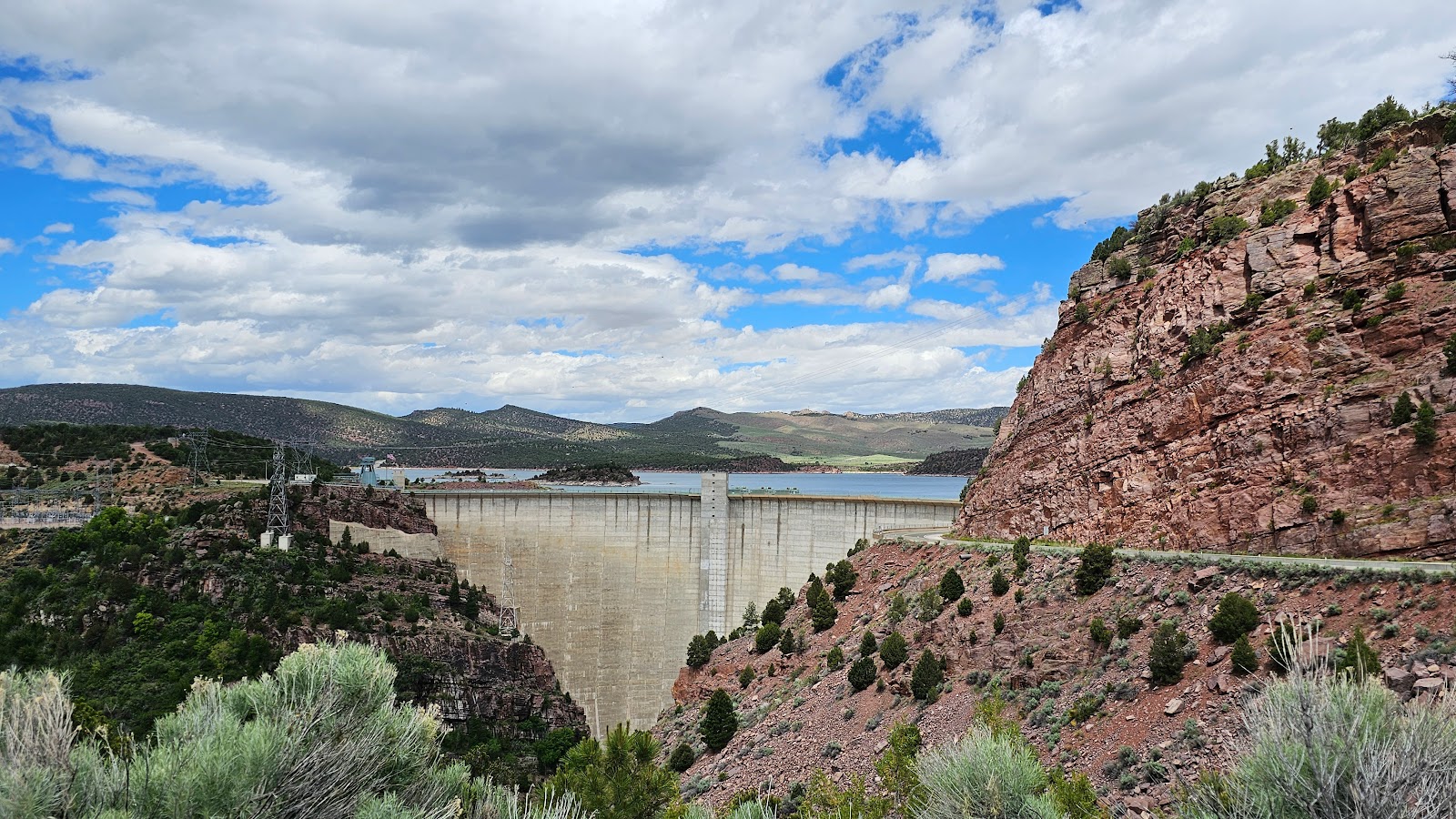
Here you can see the 455 foot difference between water levels on opposite sides of the dam.
SLIDE NUMBER
6OF9

Well, now you can see the bottom.
SLIDE NUMBER
7OF9

There is a boat launch at the bottom of a long steep road.
SLIDE NUMBER
8OF9

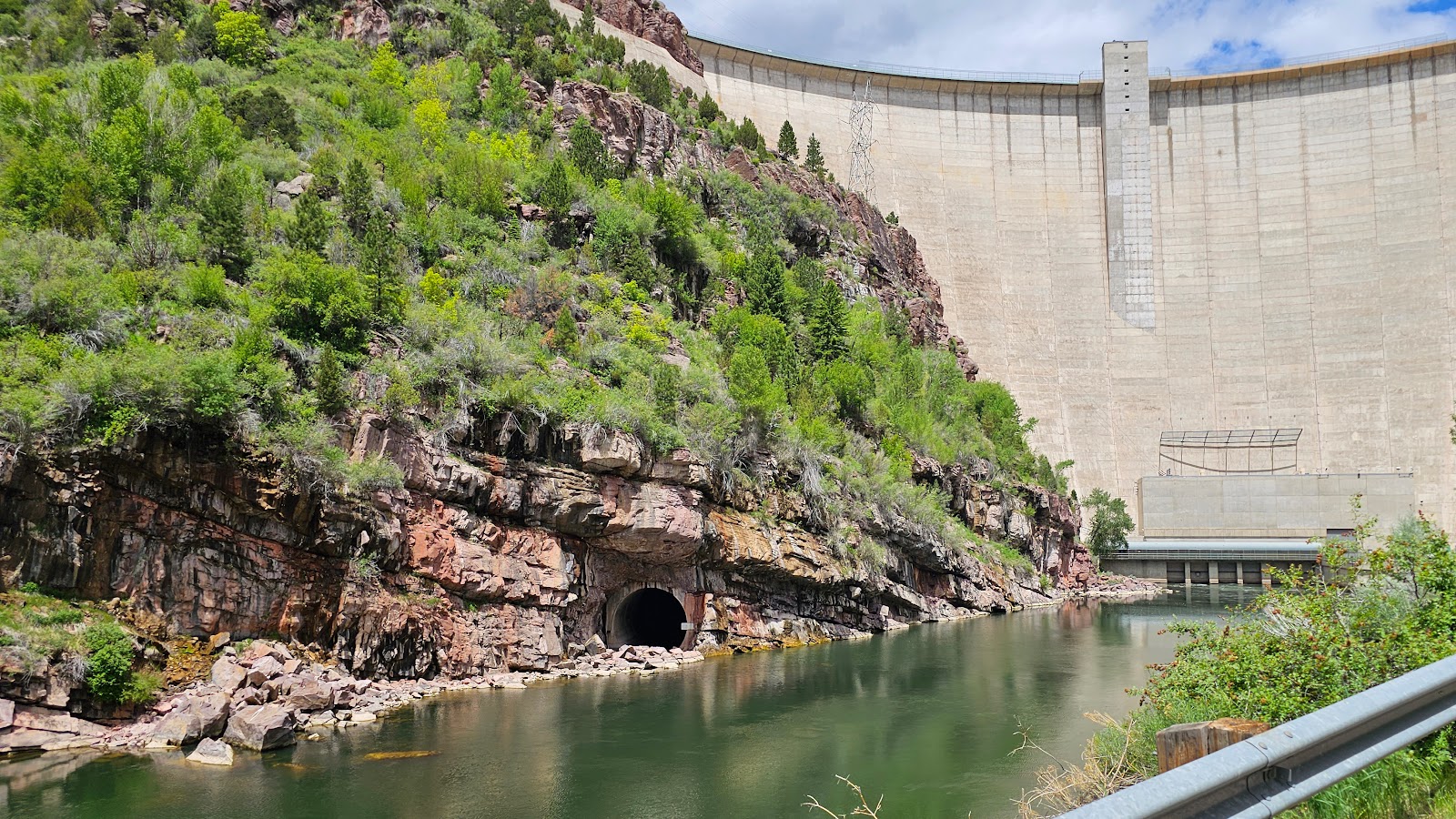
That's the round diversion tunnel they used while constructing the dam.
SLIDE NUMBER
9OF9

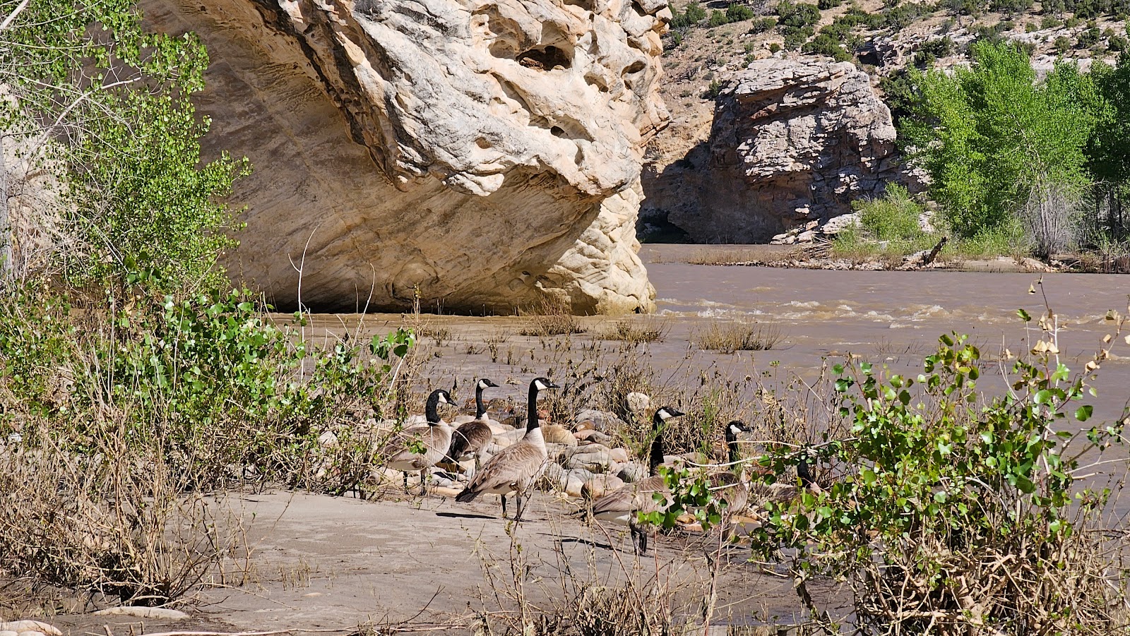
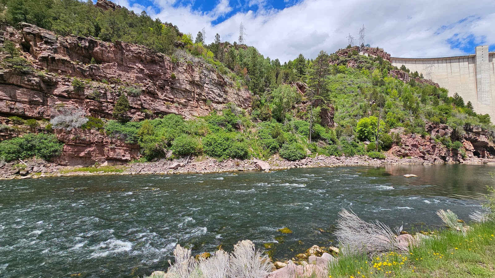
Just around the corner from these little rapids make for some good fishing,
judging by the number of poles in the water. Also some good river rafting too.


After checking out the dam we continued driving north for 3-miles to the small town of Dutch John, UT and found the Post Office where we finally mailed out our package.

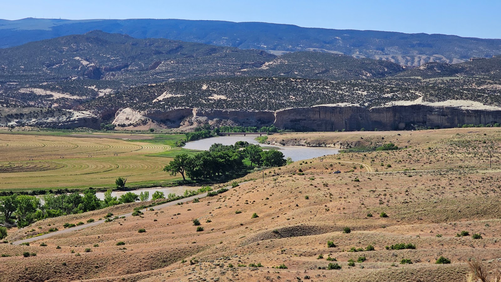
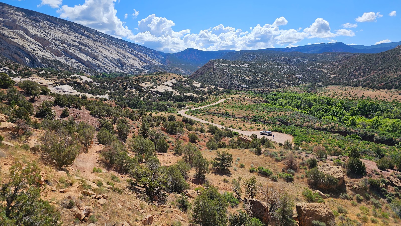
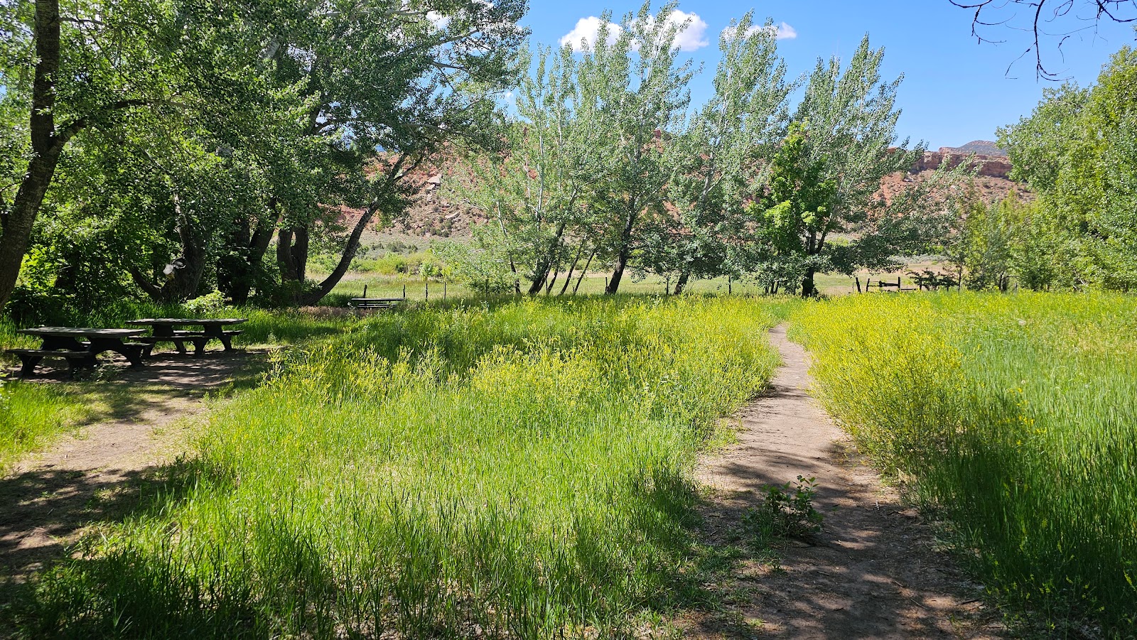
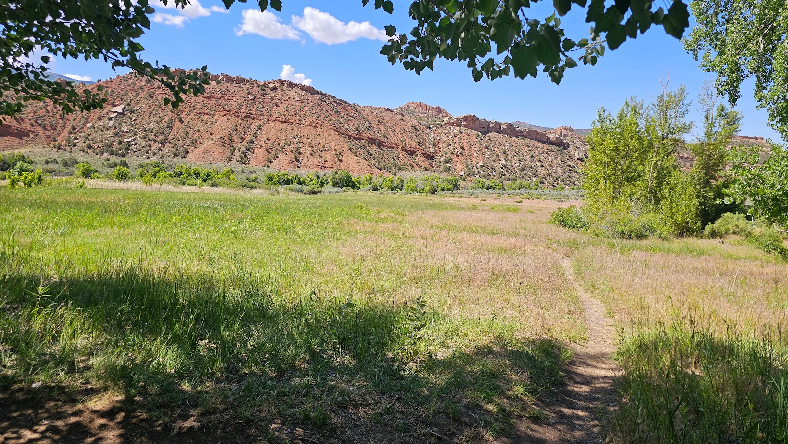
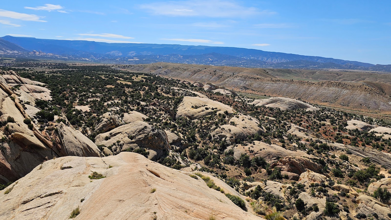
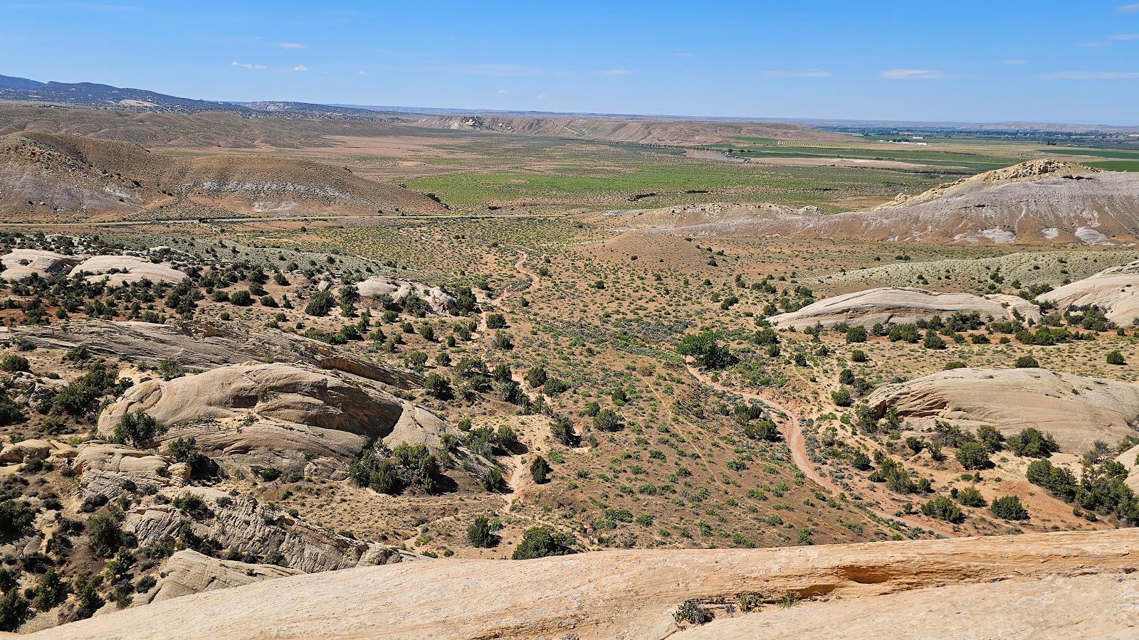
Upon returning to camp we found another amazing overlook and stopped to take a few more photos of the Flaming Gorge Recreation Area.


Would you like to be notified of new blog posts?


DINOSAUR NATIONAL MONUMENT (UT)


THURSDAY - Today's a travel day and there's really only one reasonable option for our 134-mile route to our next destination, which happens to be due north of us.

I-25 is 250-miles east of us and I-15 is 240-miles west of us, either one of these north/south Interstates would be a loooong detour for us heading north.

That leaves the very remote, but very scenic, 72-mile long Colorado Highway 139 as our best choice for today.

We exited the Colorado National Monument, dumped our waste tanks and filled our fresh water tank for FREE at the Colorado Welcome Center in Fruita, CO just before entering I-70 West for a short 4-mile drive to the exit for Colorado Highway 139.


COLORADO HIGHWAY 139


SLIDE NUMBER
1OF13

I told you the road was very scenic.
That's a Class A Motorhome in front of us, you'll see them in a lot of the photos on this road.
SLIDE NUMBER
2OF13

Each turn in the road brought something more beautiful that the last.
SLIDE NUMBER
3OF13

Yep! That motorhome towing the Jeep in still out in front of us.
SLIDE NUMBER
4OF13

Just 30-miles up CO-139 we began our 1500' climb to Douglass Pass (elev. 8268').
SLIDE NUMBER
5OF13

This climb should slow that motorhome down and that grey van just passed us a mile back.
SLIDE NUMBER
6OF13

At the next curve the motorhome pulled over to let the van pass, but not us?
SLIDE NUMBER
7OF13

We're halfway to the summit now, looking back at the road we just traveled.
SLIDE NUMBER
8OF13

But there's still a lot of climbing to do.
SLIDE NUMBER
9OF13

Now that we've made it to the summit...
SLIDE NUMBER
10OF13

...the only thing to do is make our way back down.
SLIDE NUMBER
11OF13

Once back on level ground we ran into a "cow jam", that's a traffic jam Western Colorado style.
If you really like cows you have to watch the following video!
SLIDE NUMBER
12OF13

Once passed the "cow jam" the roadway was wide open.
SLIDE NUMBER
13OF13

We're now nearing the end of CO-139 at the town of Rangely.


NOTE: I should mention that once we and the motorhome got to the bottom of the Douglass Pass there was a pullout where he and I both pulled over to let the six vehicles stacked up behind us pass and give our brakes a chance to cool down. After the cars all passed us I pulled up along side of him, rolled down our windows and had a brief conversation about how much "fun" it was driving that large motorhome towing a Jeep and us driving a pickup truck towing a 28' travel trailer was going up, over and then down the pass. His wife used a "different word" to describe her experience of Douglass Pass.


HERE'S THAT VIDEO I PROMISED YOU


We left the town of Rangely and traveled northwest on CO-64 until we reached the town of Dinosaur, CO. That's right, I said Dinosaur! Here's who greeted us as we entered town.

In Dinosaur, CO we turned left on Brontosaurus Boulevard (i.e. US-40) and traveled just 3-miles before crossing back into Utah and another 17.5-miles before turning off US-40 into the entrance for Dinosaur National Monument.


OUR ARRIVAL AT DINOSAUR NATIONAL MONUMENT


SLIDE NUMBER
1OF9

SLIDE NUMBER
2OF9

I know it's all about the dinosaurs here, but the scenery isn't too shabby either.
SLIDE NUMBER
3OF9

All tucked in at our riverside campsite in Green River Campground.
SLIDE NUMBER
4OF9

This photo shows just how close we are to the swift moving Green River.
SLIDE NUMBER
5OF9

Our campsite is conveniently across the street from the restrooms and trash bins.
SLIDE NUMBER
6OF9

Back at the Visitor Center we waited for the tram to take us to the Quarry Exhibit Hall.
SLIDE NUMBER
7OF9

The newest version (2011) of the Quarry Exhibit Hall.
SLIDE NUMBER
8OF9

Inside is a rock wall full of dinosaur fossils.
SLIDE NUMBER
9OF9

Way too many to count and this is just what's on the surface.


FRIDAY - This morning we awoke to a cacophony of farm sounds. It turns out that on the opposite bank of the Green River from our campsite, on the Chew Ranch, is where they feed and water their sheep. We learned over the course of our 4-day visit this is done every morning around 6:30AM.

With the way sound easily travels over water, it sounds as if the bleat's and baaaaa's we're hearing are just outside our trailer windows, when they are actually at least 100-yards away on the other side of the river.

This is just a small portion of the sheep population across the river.

Just below the rocks is the river bank where they come to drink.

Who knew such loud noises could come from such a small animal...

...but they sure are cute little noisemakers.


SATURDAY - Once again we awoke to the farm animal sounds, but this time we needed to be up because we're going sightseeing today.

Sure, there are lots of dinosaur bones to be seen here in the Quarry Exhibit Hall, but there are also a lot of petroglyphs and pictographs to be seen on the canyon walls.

The National Park Service has made it easy to find these hidden gems by producing a $1 booklet called "Tour of the Tilted Rocks: Auto Guidebook for the Cub Creek Road". We purchased a copy while in the Visitor Center when we arrived.

There are 15 numbered stops noted in the booklet along the 24-mile round trip route. We of course stopped at every one of them and snapped a few photos to share.


TOUR OF THE TILTED ROCKS


SLIDE NUMBER
1OF65

① - The first stop is called Swelter Shelter.
Here we found something on the canyon walls we haven't seen before today.
SLIDE NUMBER
2OF65

Sure, we've seen petroglyphs before, lots of them.
SLIDE NUMBER
3OF65

But these are of a hybrid variety.
Petroglyph (scratched in) and Pictograph (painted on) together in the same piece of art.
SLIDE NUMBER
4OF65

See the red coloring inside of the scratched in art in this photo and the one before?
SLIDE NUMBER
5OF65

② - The second stop is a 3.2-mile hike that we're not prepared to do this morning,
so instead you get sunflower-like photos from what we found near the parking lot for the hike.
SLIDE NUMBER
6OF65

Maybe tomorrow Tricia will do this hike.
SLIDE NUMBER
7OF65

These flowers are always pointing toward the sun.
SLIDE NUMBER
8OF65

③ - Third stop is a view of Split Mountain. The name will be explained later.
SLIDE NUMBER
9OF65

④ - Fourth stop is where we learned how and why the rocks are "tilted" in the park.
SLIDE NUMBER
10OF65

⑤ - Fifth stop is where you'll find a boat ramp/picnic area/group campground.
River rafting is a popular outdoor activity on this section of the Green River.
SLIDE NUMBER
11OF65

This is Split Mountain with it's tilted rocks.
SLIDE NUMBER
12OF65

Upstream...
SLIDE NUMBER
13OF65

...and downstream from the boat ramp.
SLIDE NUMBER
14OF65

Not sure what all the geese are looking at, but it's not us.
SLIDE NUMBER
15OF65

⑥ - The sixth stop gives us a panoramic view of the Cub Creek Valley.
SLIDE NUMBER
16OF65

The Green River makes it possible to have an agricultural presence here.
SLIDE NUMBER
17OF65

It's hard to see but there are a hundred or more sheep in that field across the river.
SLIDE NUMBER
18OF65

⑦ - The seventh stop is where you'll find 149-million year old dinosaurs bones
embedded in the exposed colorful cliffs.
SLIDE NUMBER
19OF65

This area would experience extreme drought where the dinosurs would perish. When the water would return the carcasses would be preserved under the mud and sand.
SLIDE NUMBER
20OF65

⑧ - The eighth stop is called Placer Point, where in the 1930s dredging for gold from the
river bottom was practiced. It didn't last long because there wasn't enough gold to be profitable.
SLIDE NUMBER
21OF65

SLIDE NUMBER
22OF65

SLIDE NUMBER
23OF65

⑨ - The ninth stop is where the road passed through the Chew Ranch (est. in early 1900s).
SLIDE NUMBER
24OF65

⑩ - While still on the Chew Ranch you'll drive by Turtle Rock. See the turtle on top?
SLIDE NUMBER
25OF65

⑪ - The eleventh stop is where you'll find cottonwood trees not along a river bank.
SLIDE NUMBER
26OF65

The only reason they survive here is thanks to the spring-fed Cub Creek.
SLIDE NUMBER
27OF65

More of those titled rocks this tour is named after.
SLIDE NUMBER
28OF65

⑫ - The twelth stop is Elephant Toes Butte.
SLIDE NUMBER
29OF65

Also at this stop is where the road turns to gravel for the remainder of the route.
SLIDE NUMBER
30OF65

⑬ - The thirteenth stop is where we found more petroglyphs.
SLIDE NUMBER
31OF65

None of these were "colored in" likes the ones we saw earlier.
SLIDE NUMBER
32OF65

SLIDE NUMBER
33OF65

SLIDE NUMBER
34OF65

SLIDE NUMBER
35OF65

SLIDE NUMBER
36OF65

⑭ - The fourteenth stop has some of the more famous petroglyphs in the park.
The larger ones can be seen from the road, but you'll need to climb up close to get a good look.
SLIDE NUMBER
37OF65

Right in the center of the photo is a large lizard petroglyph. Do you see it?
SLIDE NUMBER
38OF65

How about now? This lizard is featured on all the signposts along this drive.
SLIDE NUMBER
39OF65

Let's go climbing and see what else there is to see.
SLIDE NUMBER
40OF65

Tricia's about half way up now and yes, I turned back and sat in the truck.
SLIDE NUMBER
41OF65

There are a bunch of smaller lizards surrounding the large famous one.
SLIDE NUMBER
42OF65

SLIDE NUMBER
43OF65

Due to it's size it's been estimated this etching took several months to complete.
SLIDE NUMBER
44OF65

SLIDE NUMBER
45OF65

SLIDE NUMBER
46OF65

The second most famous petroglyph is the flute player. Do you see him?
SLIDE NUMBER
47OF65

I guess this one didn't weather the rain and wind as well as the lizard.
SLIDE NUMBER
48OF65

It's no exaggeration when I tell you
there were a million of these crickets on this side of the National Monument.
SLIDE NUMBER
49OF65

SLIDE NUMBER
50OF65

SLIDE NUMBER
51OF65

Only thing left for Tricia to do is climb back down to the truck.
SLIDE NUMBER
52OF65

⑮ - The fifteenth and final stop has a Box Canyon Trail...
SLIDE NUMBER
53OF65

...and the Josie Bassett Morris Homestead (1914-1964).
SLIDE NUMBER
54OF65

She built this cabin in 1935. It wasn't her first cabin, but it was her last.
SLIDE NUMBER
55OF65

Josie passed away in 1964 at the ripe old age of 89, after suffering a broken hip.
SLIDE NUMBER
56OF65

This large fire place warmed the entire 4-room cabin.
SLIDE NUMBER
57OF65

The dirt floors were probably her only option, no lumber out here, only timber.
SLIDE NUMBER
58OF65

The fireplace had vents on each side to warm the adjacent rooms.
SLIDE NUMBER
59OF65

This room even has what appears to be a closet (or maybe pantry).
SLIDE NUMBER
60OF65

The cabin is currently under renovation using only private funding.
SLIDE NUMBER
61OF65

The windows in the front of the cabin...
SLIDE NUMBER
62OF65

...looked out over her garden.
SLIDE NUMBER
63OF65

Beyond that was pasture land for horses and cattle I presume.
SLIDE NUMBER
64OF65

Off to the side was a small chicken coop.
SLIDE NUMBER
65OF65

It's 12-miles back to the campground, we better get going, it's lunchtime!


SUNDAY - As I suspected Tricia woke up this morning and decided she would hike the 3.2-mile "Sound of Silence Trail" at Stop #2 of yesterday's tour.

By 8:00AM she was starting the trail and by 11:00AM she was back at the truck. She did 3.2-miles in 3-hours while stopping to take photos and reading the guide book. That's just about what I figured it would take.

In keeping with the whole theme behind this trail, The Sound of Silence, we've decided to present you with this "uncaptioned" slideshow to enjoy. It's just our way of maintaining silence.


SOUND OF SILENCE TRAIL


SLIDE NUMBER
1OF30

SLIDE NUMBER
2OF30

SLIDE NUMBER
3OF30

SLIDE NUMBER
4OF30

SLIDE NUMBER
5OF30

SLIDE NUMBER
6OF30

SLIDE NUMBER
7OF30

SLIDE NUMBER
8OF30

SLIDE NUMBER
9OF30

SLIDE NUMBER
10OF30

SLIDE NUMBER
11OF30

SLIDE NUMBER
12OF30

SLIDE NUMBER
13OF30

SLIDE NUMBER
14OF30

SLIDE NUMBER
15OF30

SLIDE NUMBER
16OF30

SLIDE NUMBER
17OF30

SLIDE NUMBER
18OF30

SLIDE NUMBER
19OF30

SLIDE NUMBER
20OF30

SLIDE NUMBER
21OF30

SLIDE NUMBER
22OF30

SLIDE NUMBER
23OF30

SLIDE NUMBER
24OF30

SLIDE NUMBER
25OF30

SLIDE NUMBER
26OF30

SLIDE NUMBER
27OF30

SLIDE NUMBER
28OF30

SLIDE NUMBER
29OF30

SLIDE NUMBER
30OF30


Would you like to be notified of new blog posts?