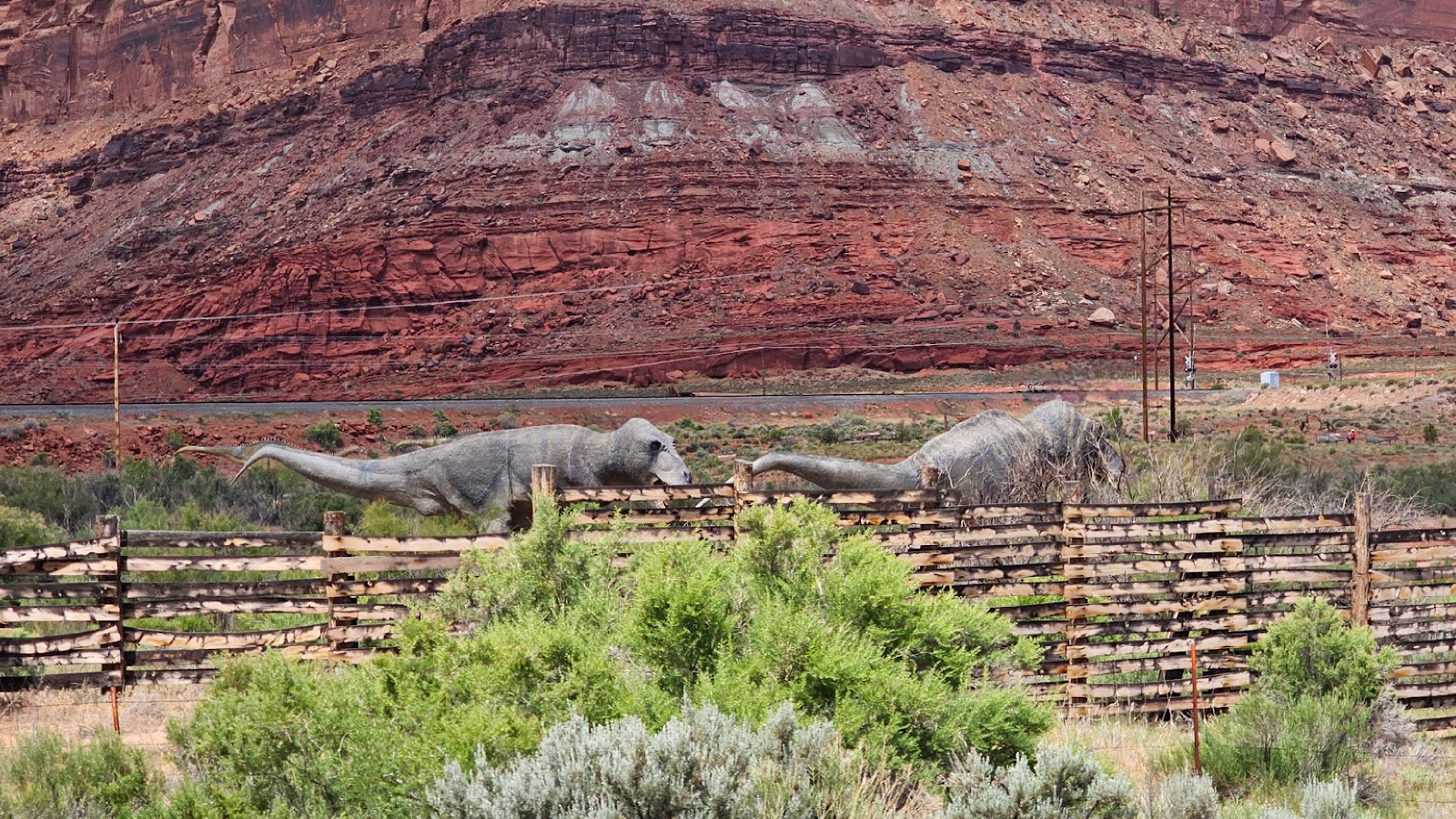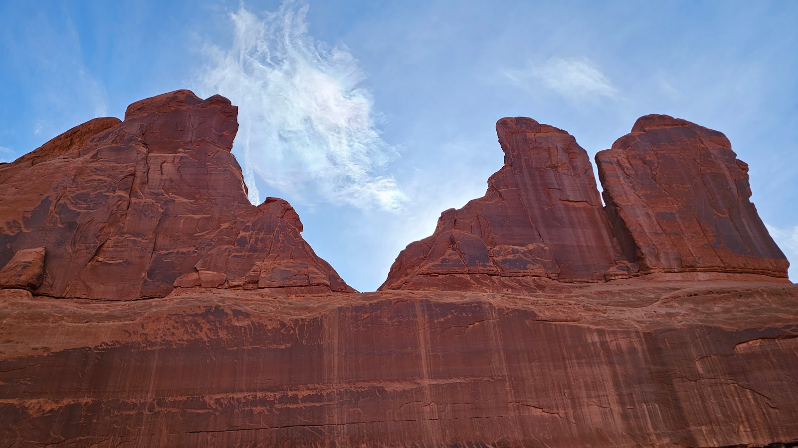
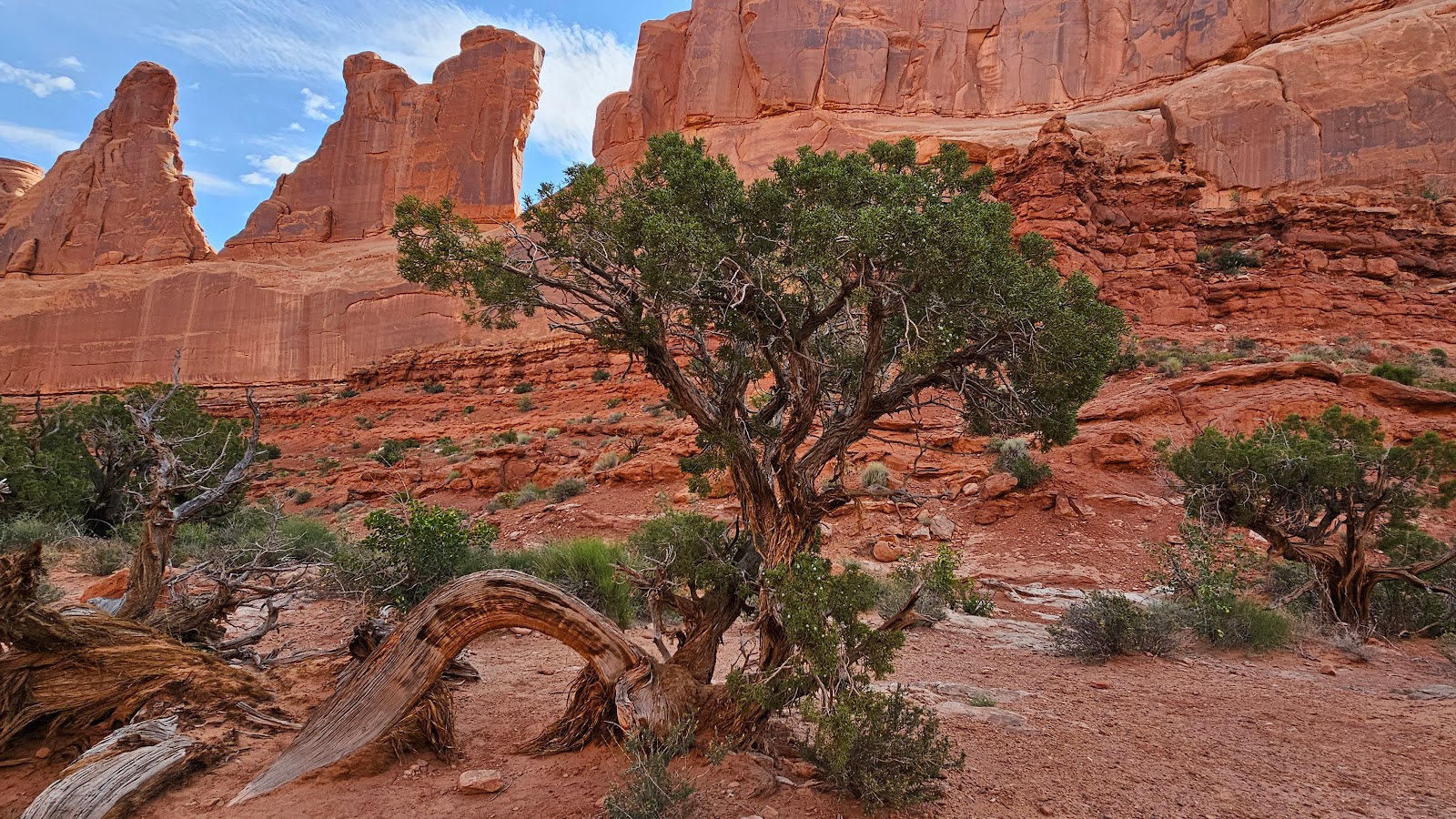
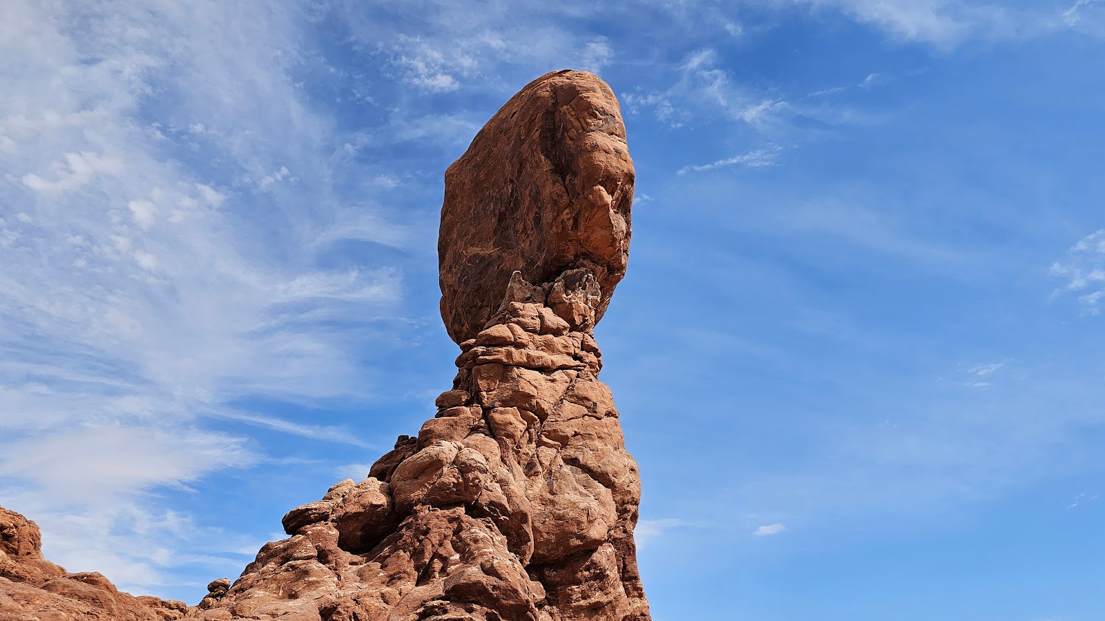
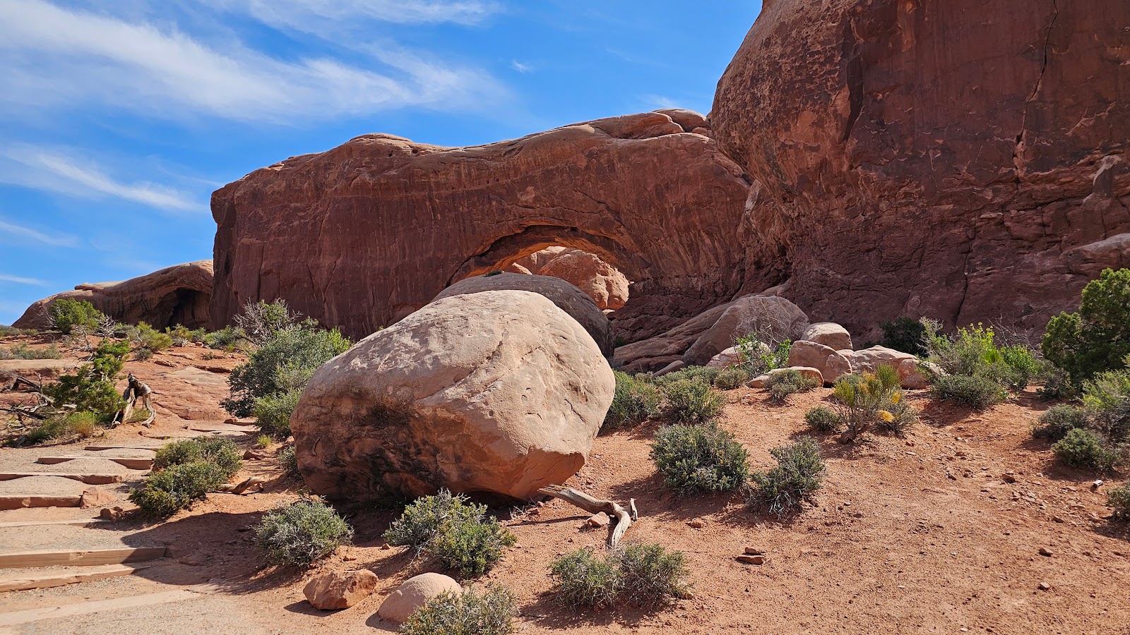
MONDAY - You'll be happy to know that here in Utah, especially outside of Moab, they take dinosaur safety very seriously.
The law states, if you allow your dinosaur to roam freely around in your back yard, you must have them behind a secure fence or assume the responsibility for their destructive behavior.
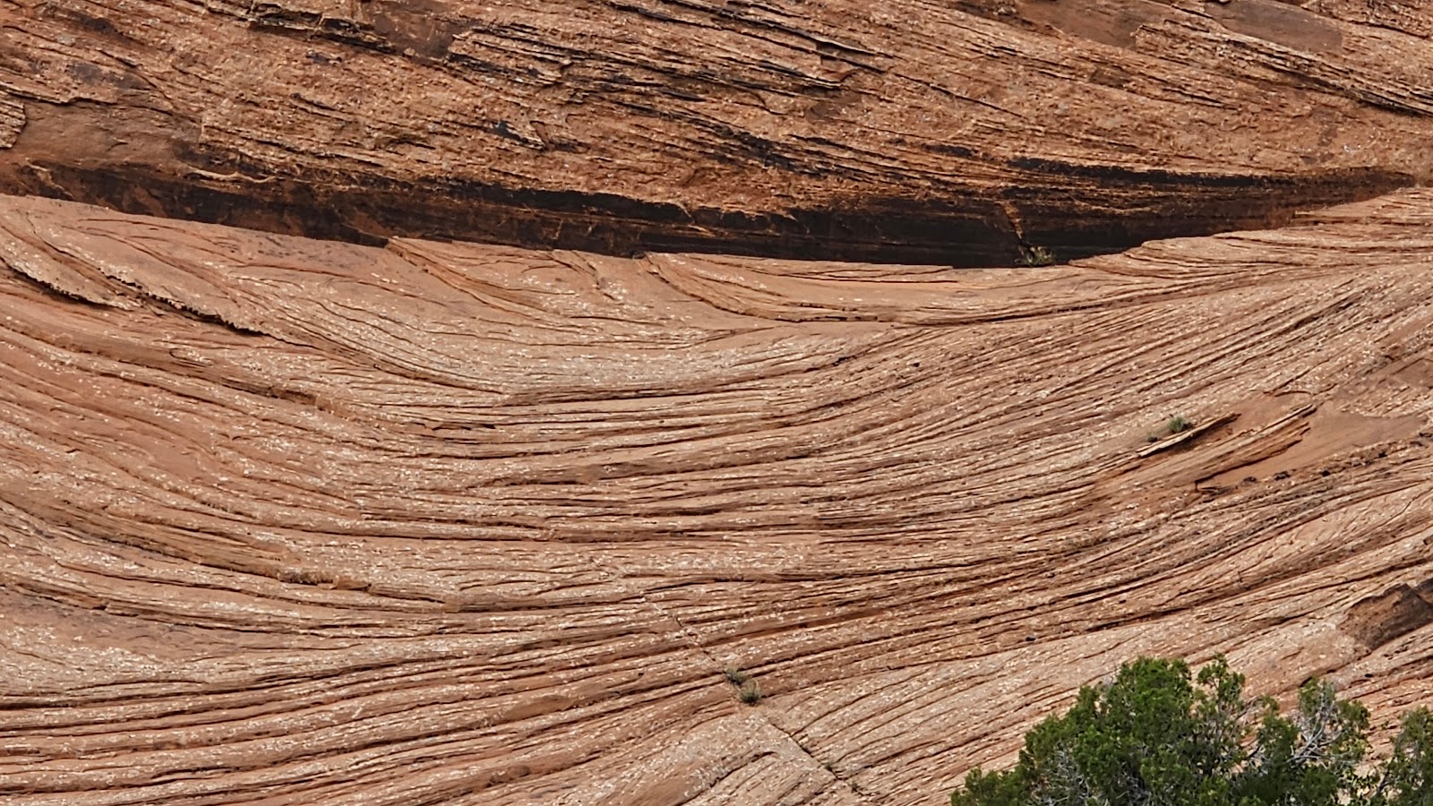
That fence doesn't look all that secure to me!
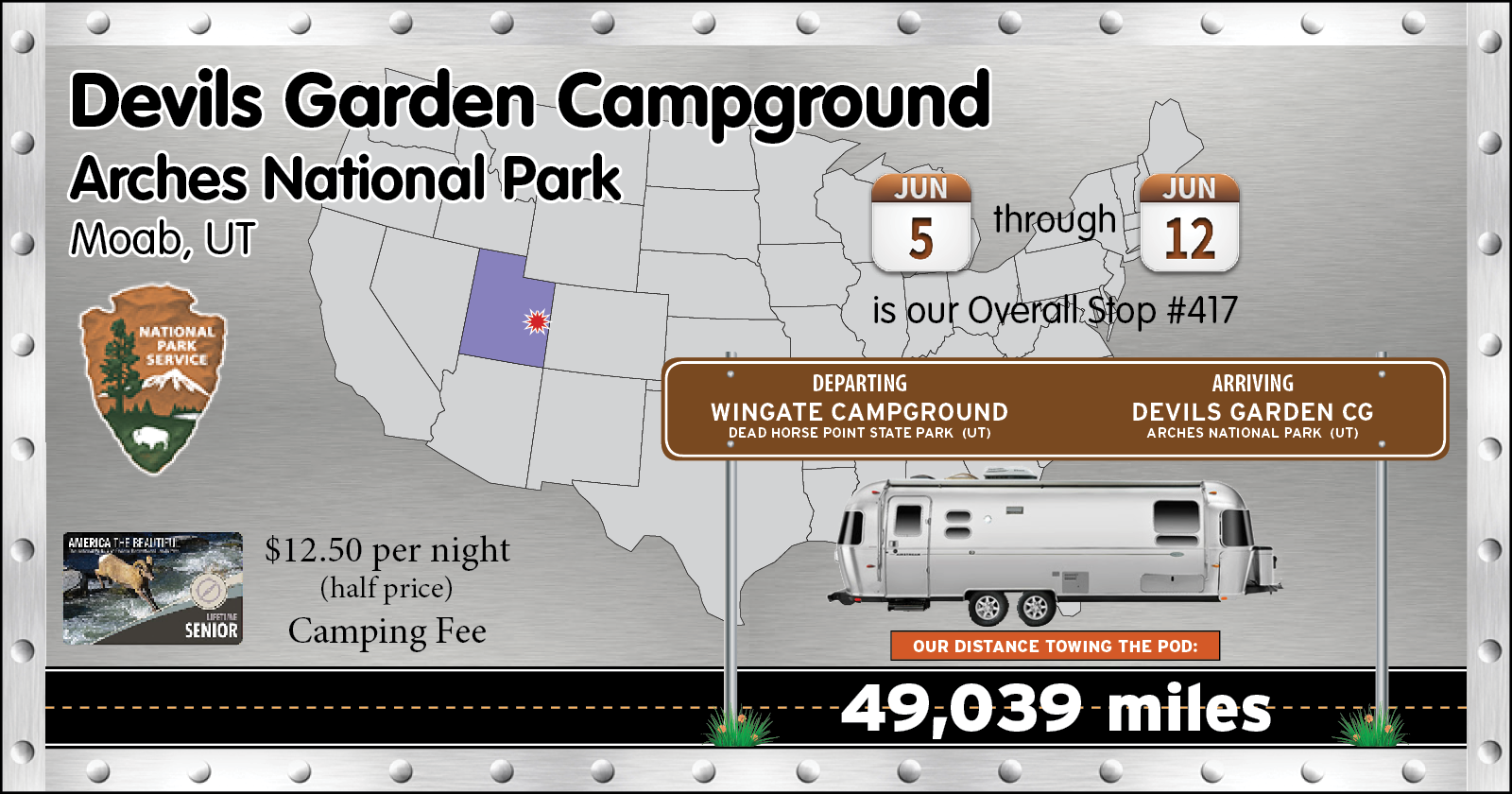
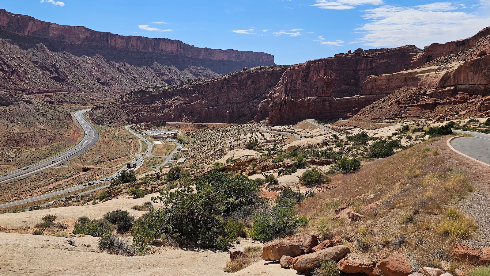
This morning we dumped our waste water tanks at the campground before we left. They don't offer any fresh water in the park, so we had to tow THE POD through the town of Moab to a gas station, where they allow you to fill your fresh water tanks for FREE with city water from a spigot on the side of the station.
Now we're ready to go spend a week inside of Arches National Park where they also don't offer fresh water to fill your tanks in the campground. They do have water at the Visitor Station, but only to fill personal sized thermoses.
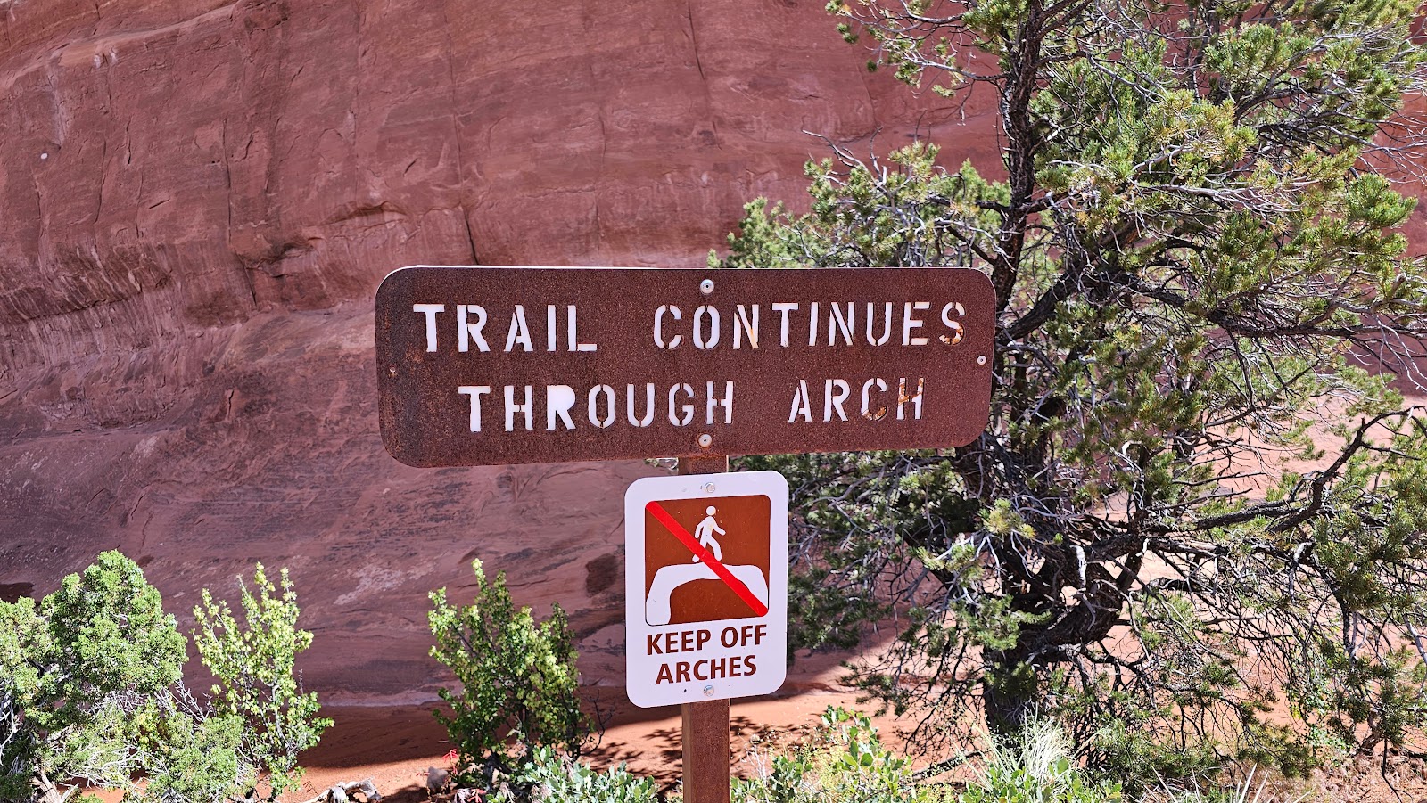
WARNING!
If you come camping at Arches National Park,
be prepared to "show proof" of your camping reservation at the entrance gate.
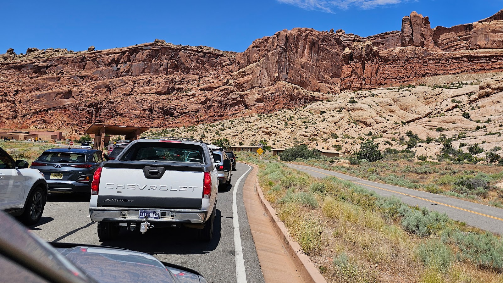
This year Arches National Park instituted a timed entry permit program. In order to enter the park you have to apply online for a permit, they do this to try and decrease the wait time necessary to get into the park.
The park's website states if you have a camping reservation you don't need a timed entry. So I did what I've done at every other National Park Service property over the last five years. I drove up to the window, after having waited in line for 20-minutes, and told the Ranger my first and last name and even provided the campsite number we had reserved.
He asked if I had any proof of the reservation. I asked him if he couldn't just look it up on his computer, since I made the reservation 6-months ago. He said he didn't have a computer at the Entrance Gate. WHAT?
I asked him, doesn't my Senior Pass and ID get me into the park? He said it does, but I'd need a timed entry pass then.
I don't know why he didn't just ask us to pull up our reservation on our phone at this point, instead he glanced at the line of cars waiting in line behind me and said I'd have to drive up to the traffic circle ahead to make a u-turn and exit the park.
So that is what we did! Once back out on the highway my brain started to work again, after the stunning news I recieved at the entrance gate, and I thought about how we were going to go about solving this predicament.
Back on the highway headed into Moab there is fortunately good cell phone service, at the park's entrance gate, not so much. We brought up our Recreation.gov reservation list on Tricia's phone, took a screen shot of the reservation details, made a u-turn and got back in the same line at the park's entrance gate.
Twenty minutes later we pulled up to the gate, with the same attendant we just had 30-minutes ago, and showed him the screen shot on Tricia's phone. Now satisfied we had a camping reservation for today, he was happy to allow us entrance into the park.
I guarantee you one thing, I'm not going back out that gate for the entire week.
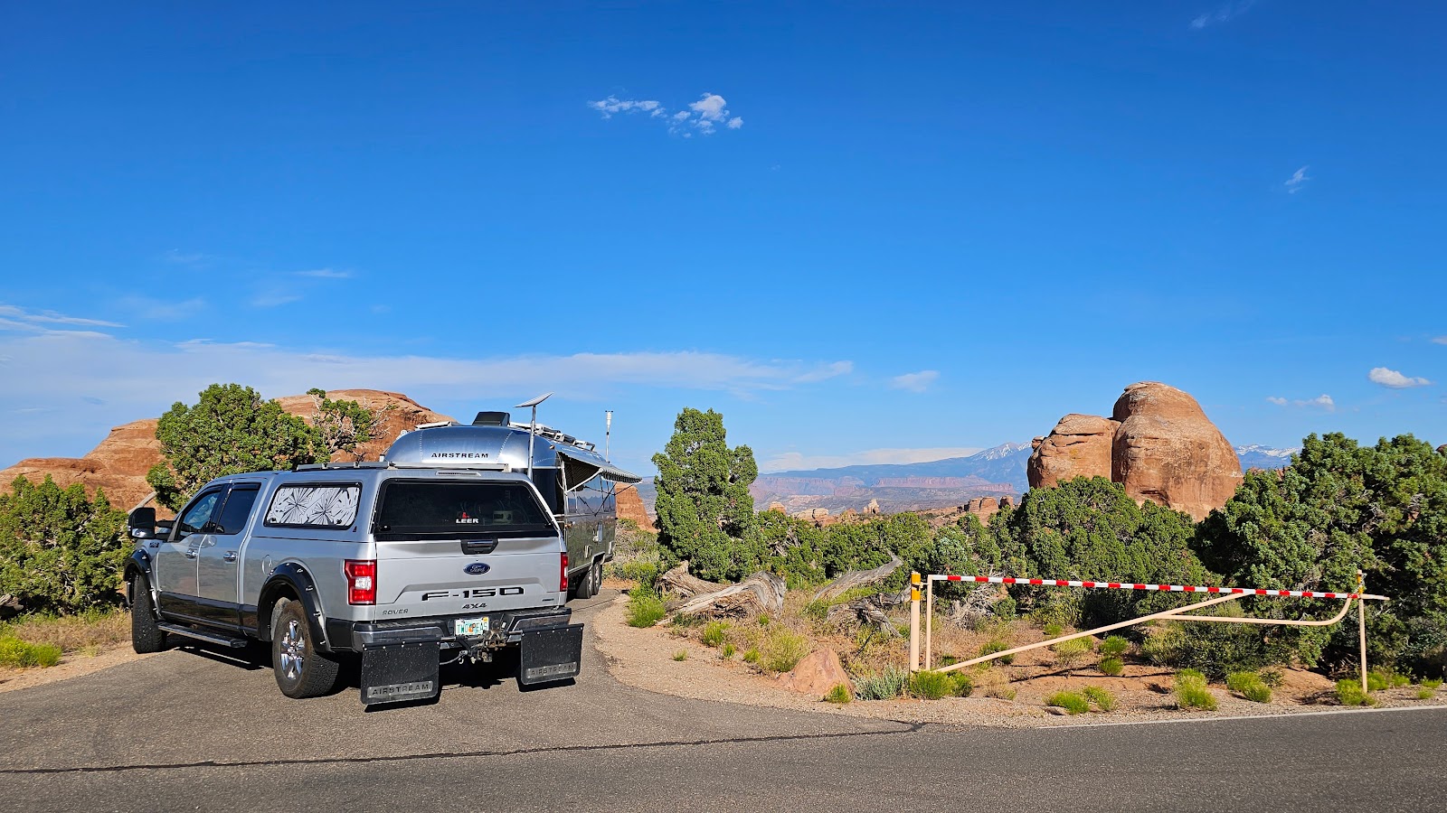
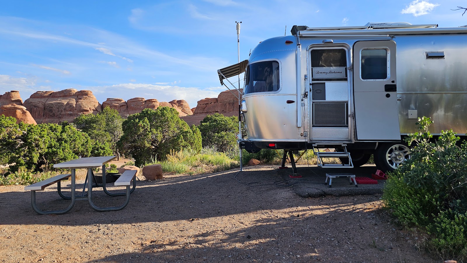
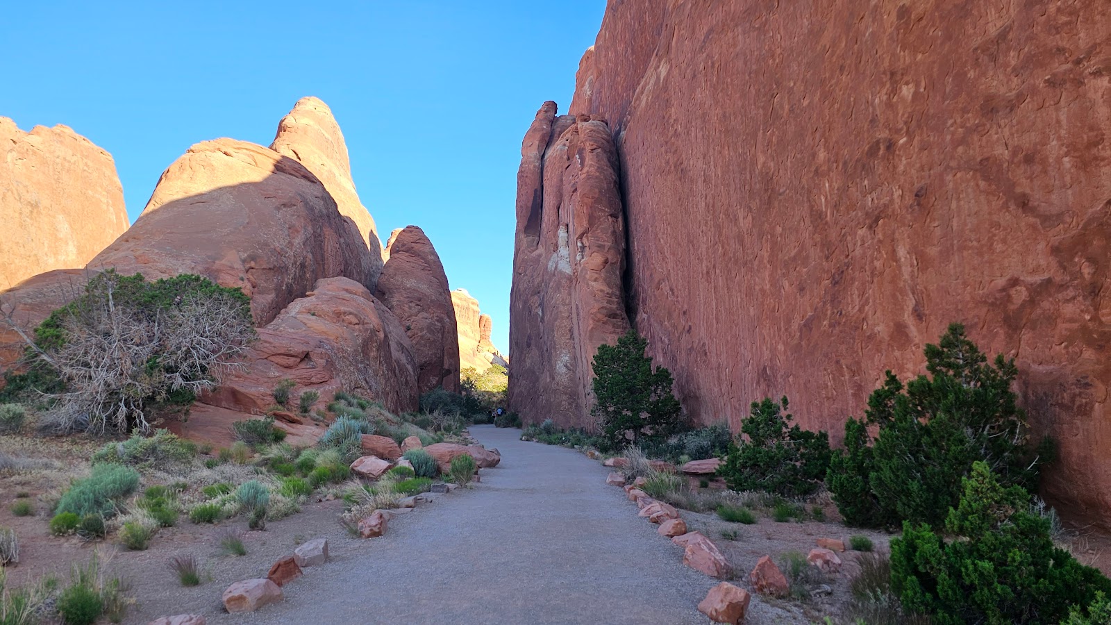
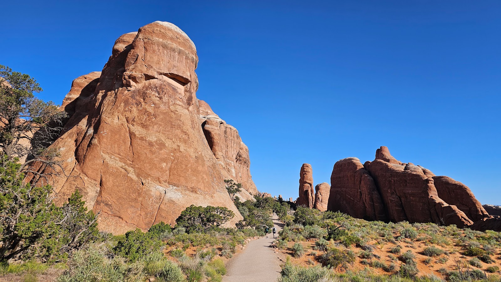
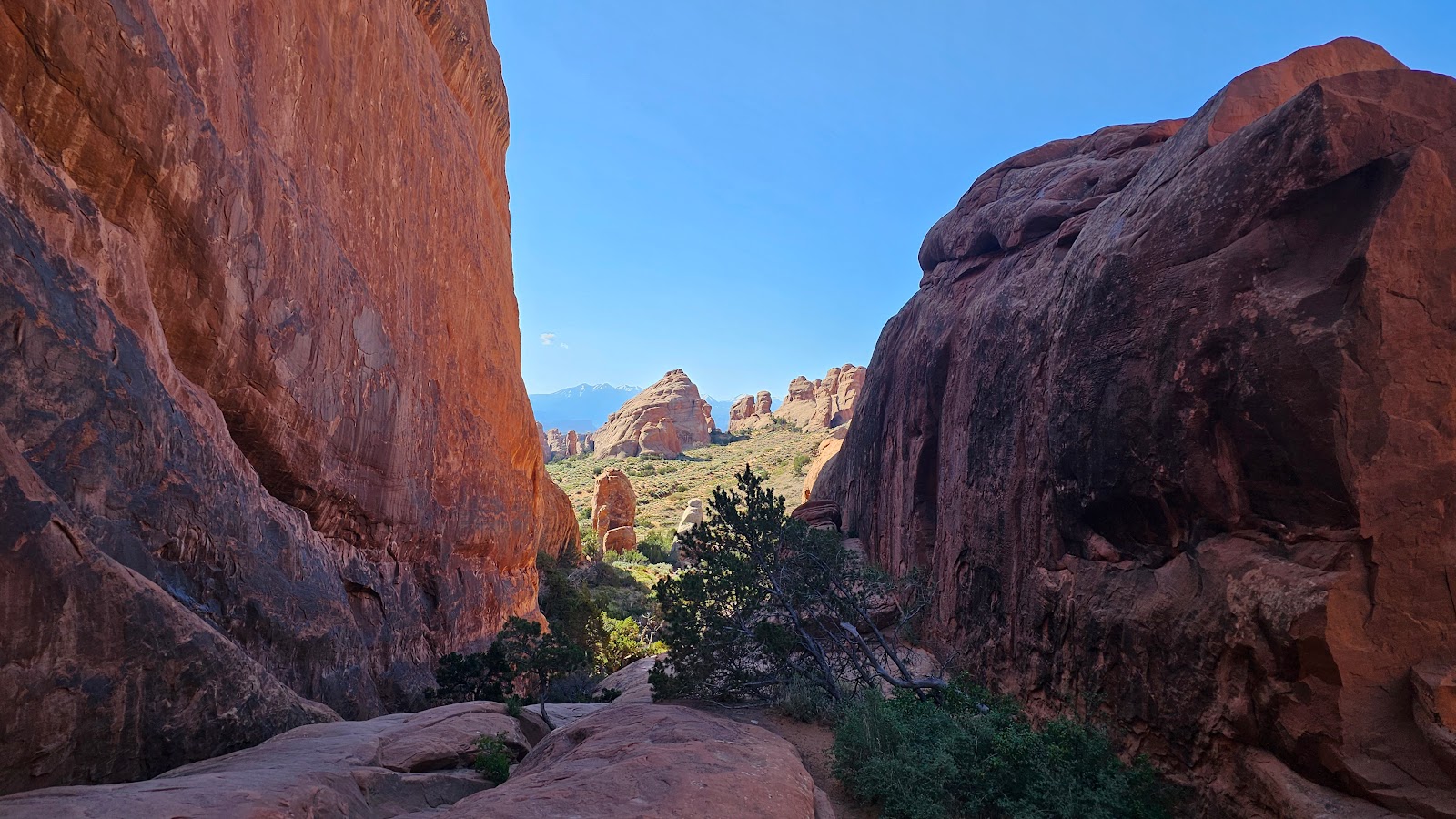
It's 18-miles from the Entrance Gate/Visitor Center to the Devils Garden Campground entrance. It's a stunning drive that ends at the campground, where equally as stunning sights can be found from many of the campsites, ours just so happens to have the best view of them all.
You've just got to love those wrap around windows in the rear of THE POD.
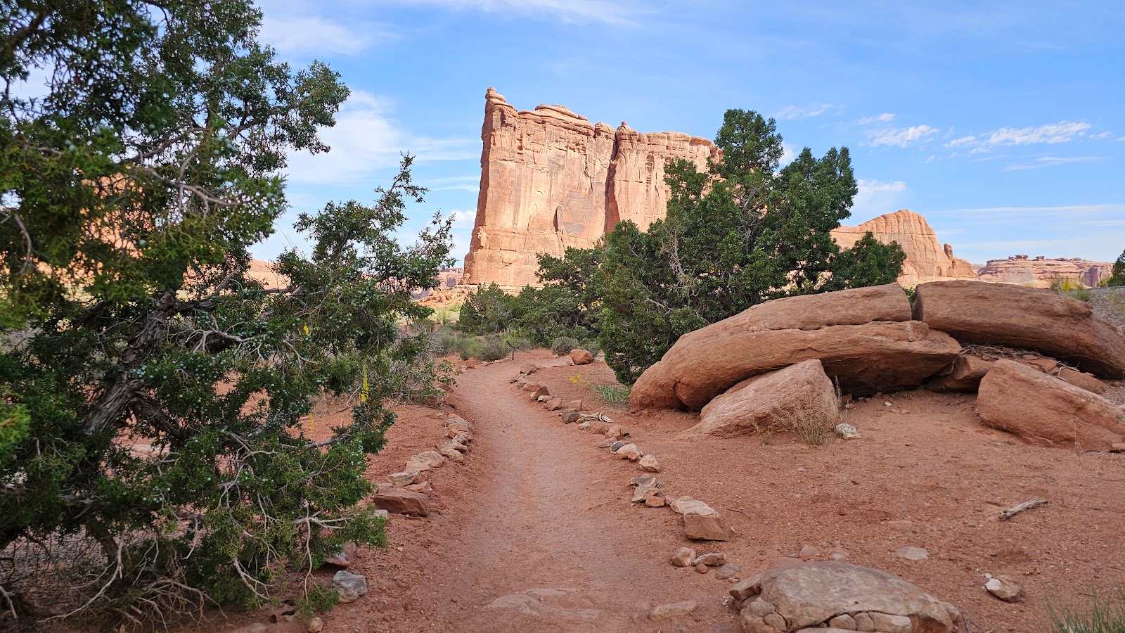
Once THE POD was all set up and lunch was finished we did what we usually do, drive back to the Visitor Center, watch the 15-minute movie about the park, grab a couple of Junior Ranger booklets and badges, get maps and information on Ranger led activities in the park, and finally drive all the paved roads in the park.
It's a routine we've developed for ourselves over the last five years and it seems to work well for us, but I'm sure you're getting tired of me repeating myself. This is our 25th National Park visit afterall, and since there are only 51 National Parks in the Lower 48 United States, that means we're almost halfway done visiting them all.
Add to that our 29 National Monument visits (out of 130), plus we've visited 9 of the 10 National Seashores and 33 other National Park Service properties (like National Recreation Areas, National Historic Sites and National Memorials) and I'd say we've seen a lot. It's a good thing we have a strategy for visiting these new locations.
All of the following photos were taken without getting further than 100-yards away from where we parked ROVER, meaning nearly everyone could easily see the same sites we did, no matter what their physical abilities are.
OUR DRIVING TOUR OF
ARCHES NATIONAL PARK
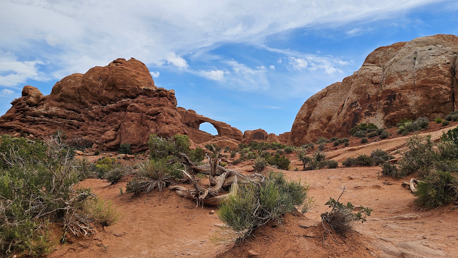
 After the Visitor Center we began our road climb back up into Arches National Park.
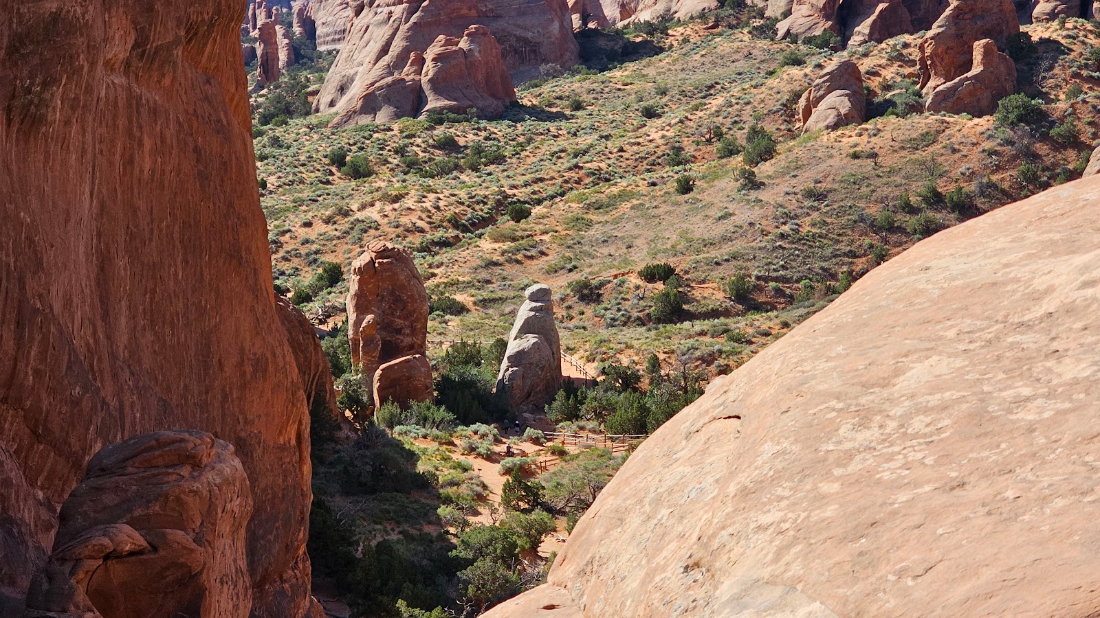
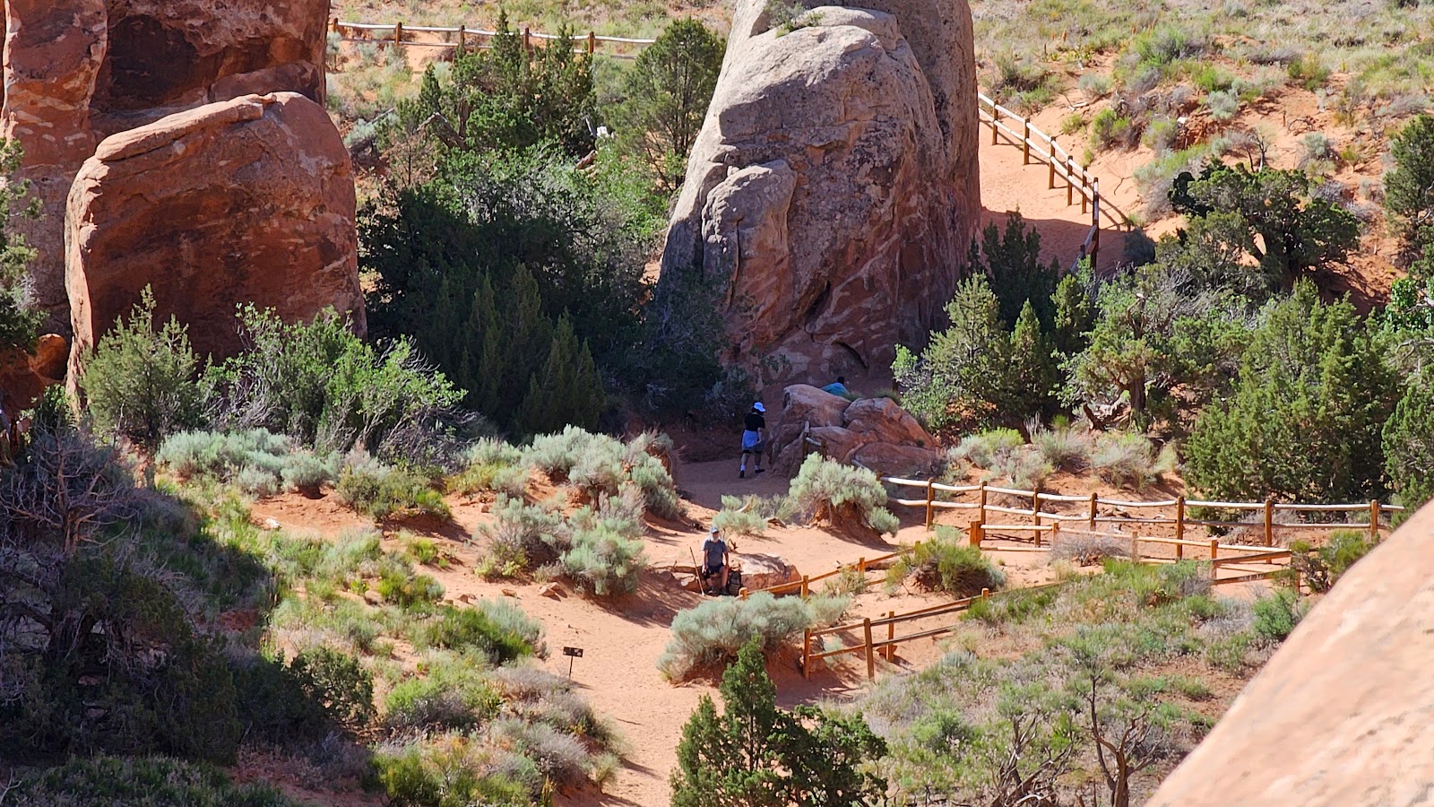
 Here's Tricia's new cell phone's 10x zoom lens in action.
 From the next overlook you can see that damn traffic circle they put in for people like me
who get turned away for not having the proper paperwork.
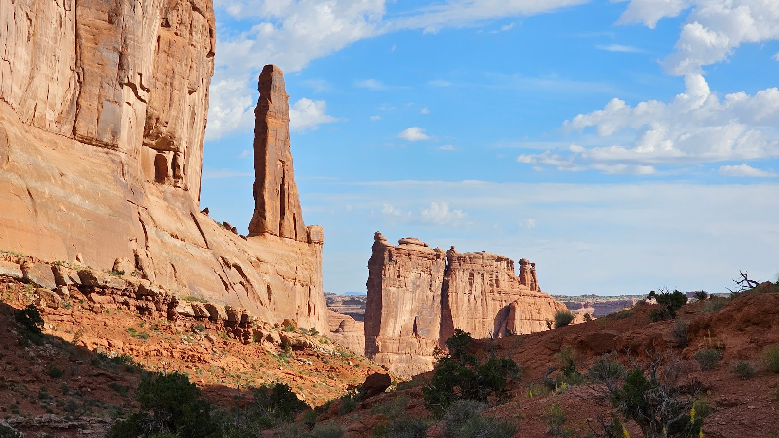
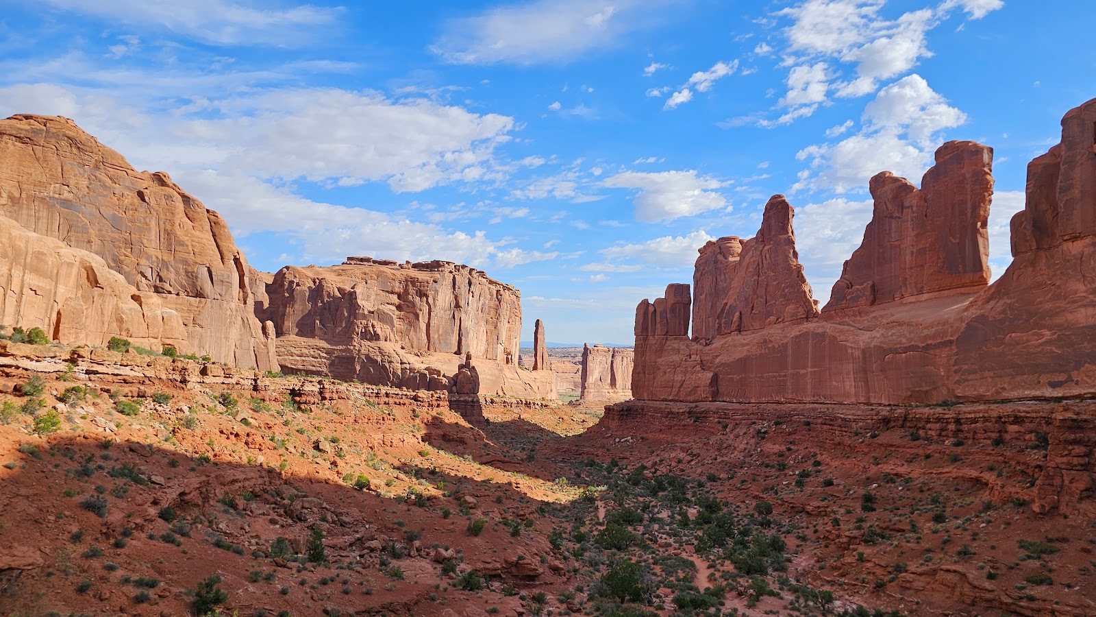
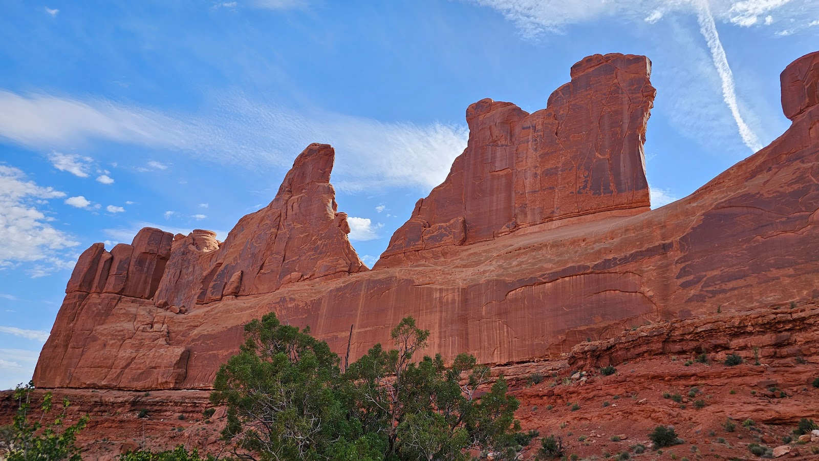
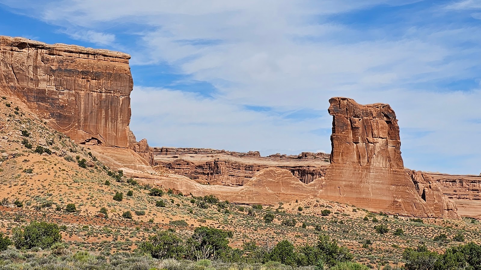
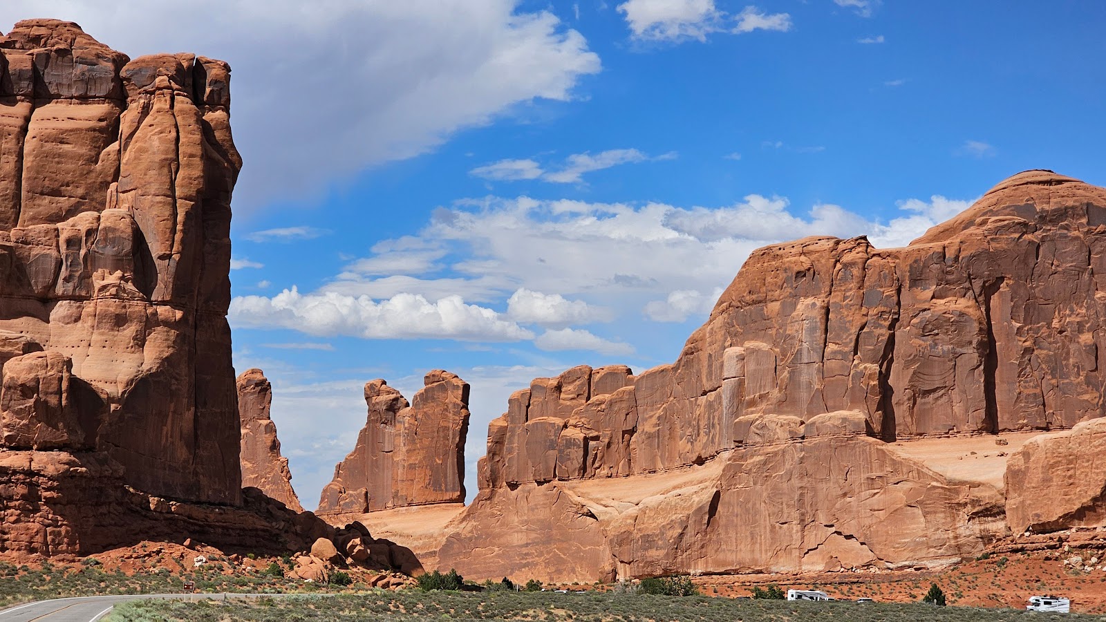 We are approaching the popular Park Avenue Trailhead in this photo.
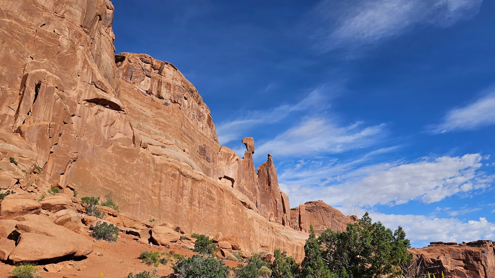
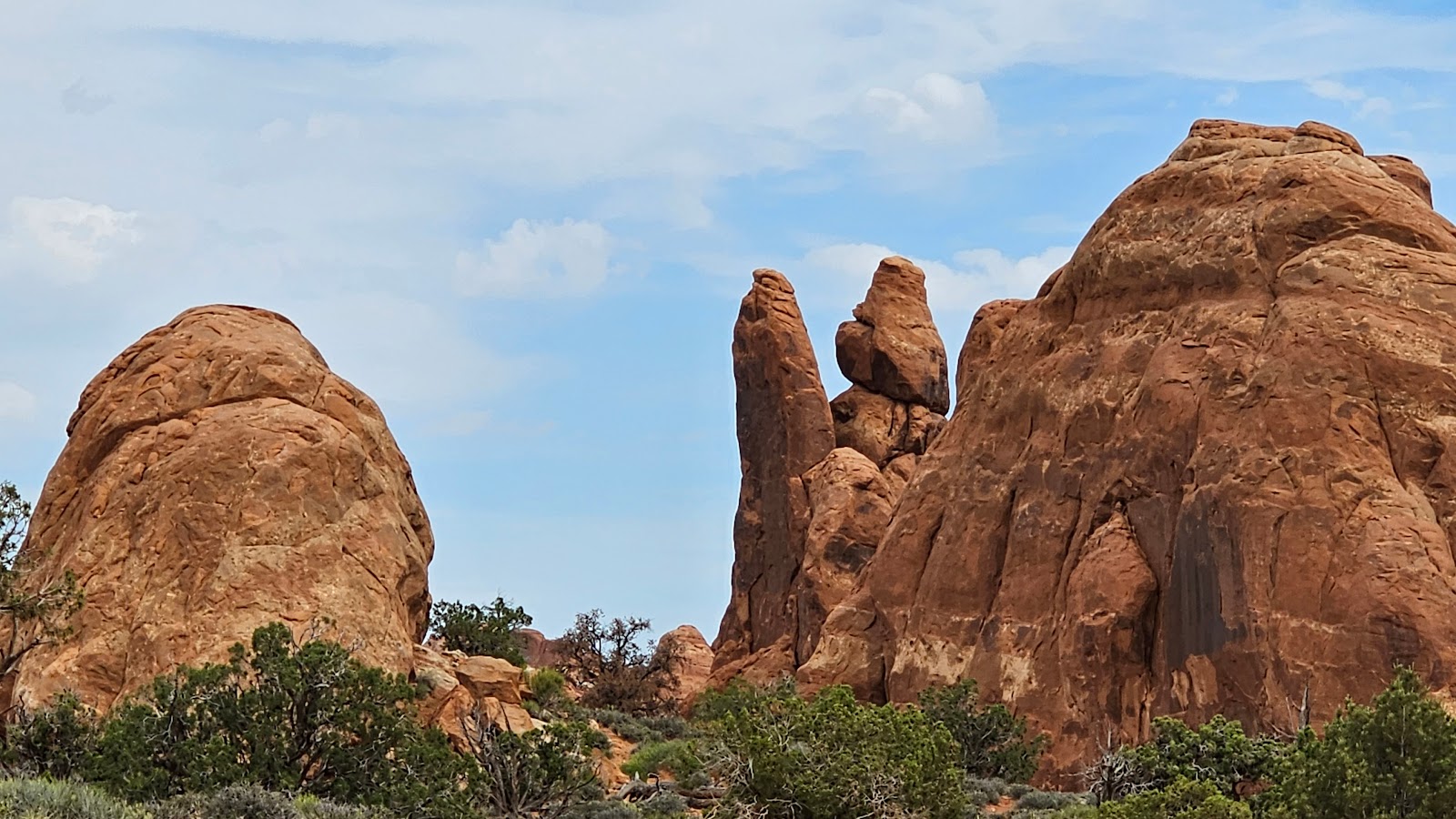
 That rock wall may look skinny, but I'll bet it's more that 100' thick...
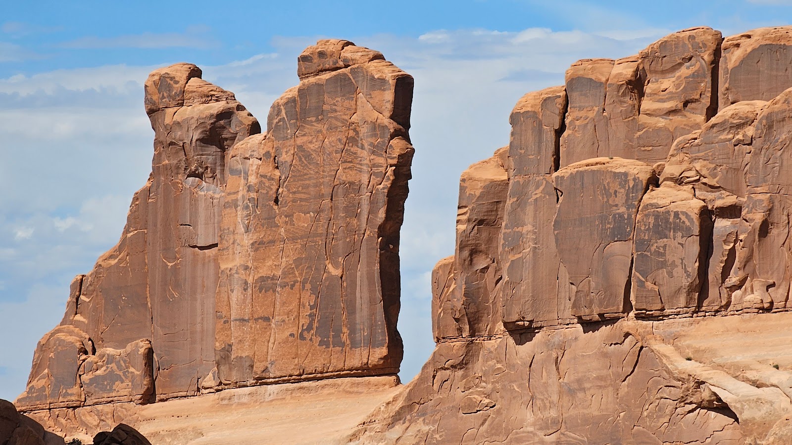
 ...and that rock may look ready to fall, but I'll bet it's still there 100 years from now.
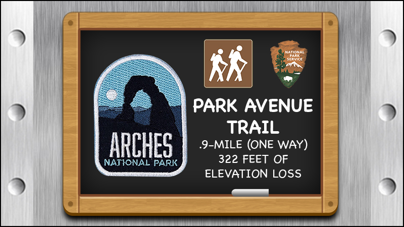
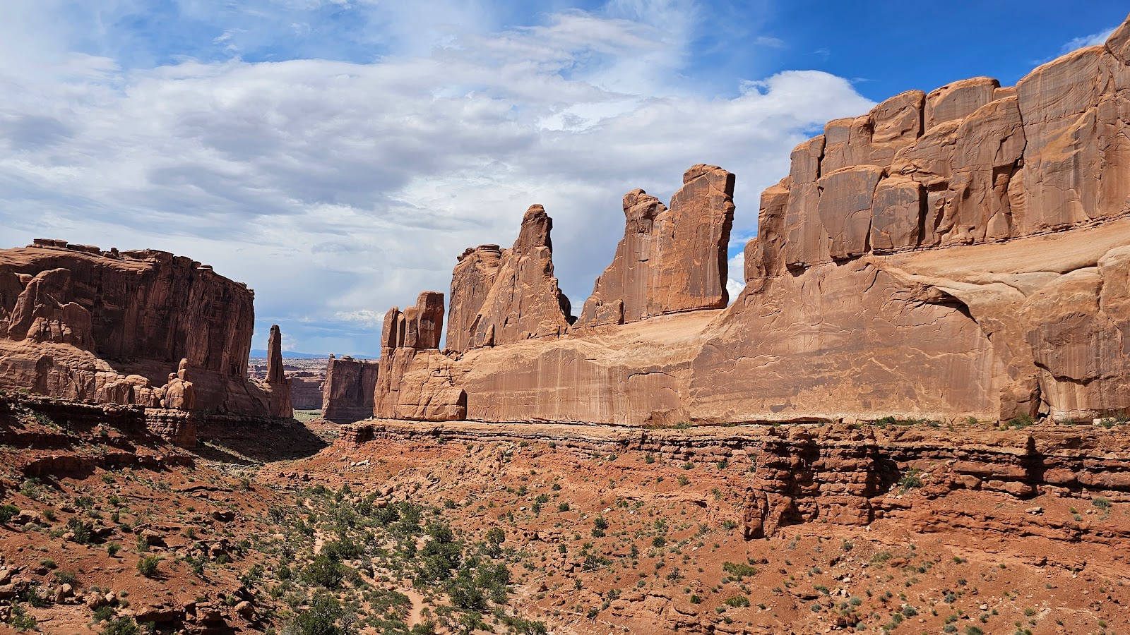 Park Avenue Trail will be one of the first trails we explore more in depth.
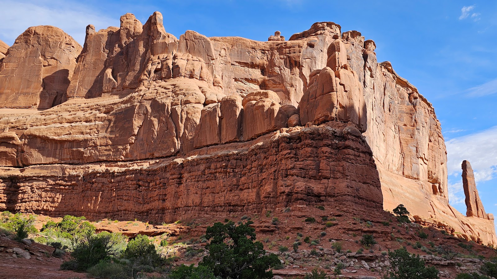
 On the left are the Three Gossips and on the right is Sheep Rock.
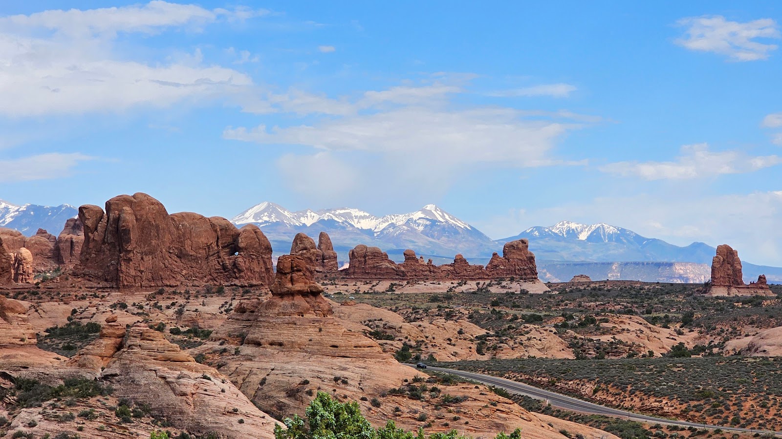
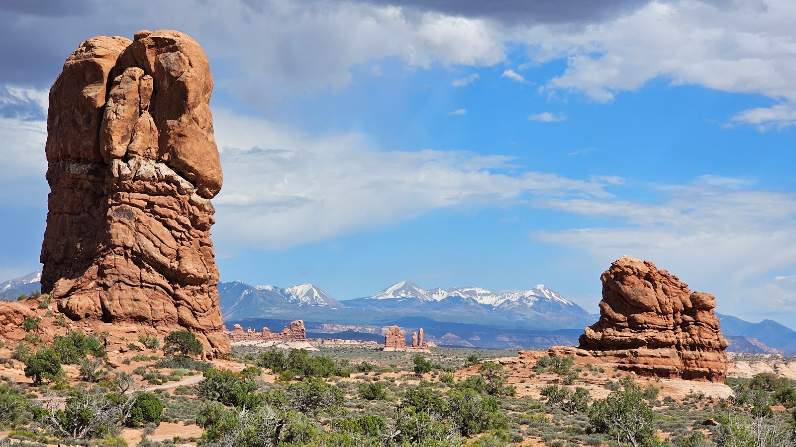
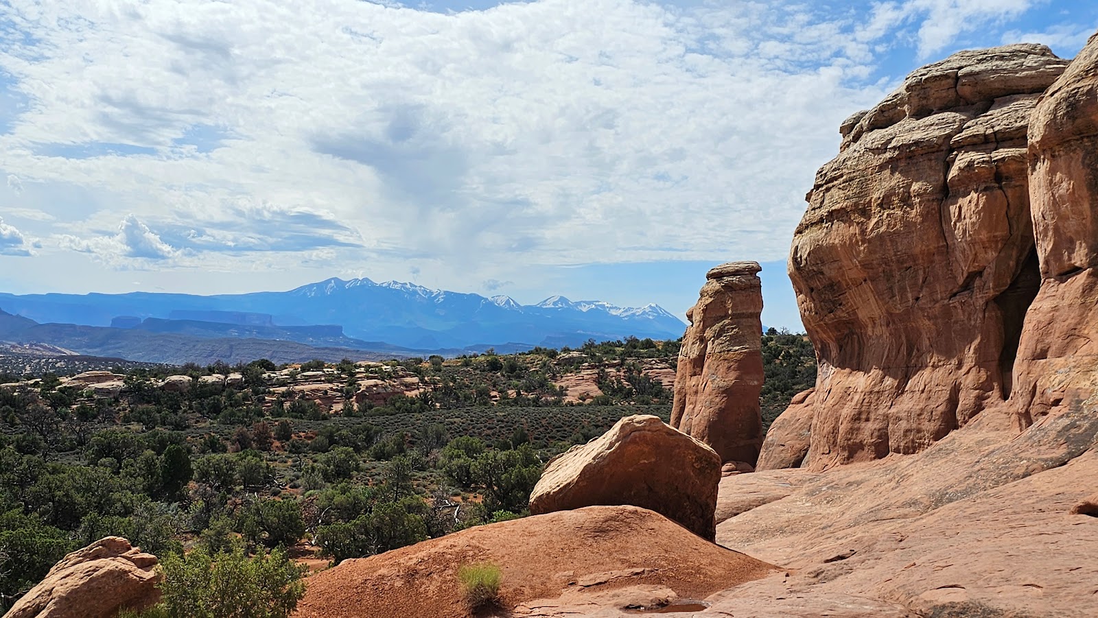
 The La Sal Mountains can be found east of Arches National Park.
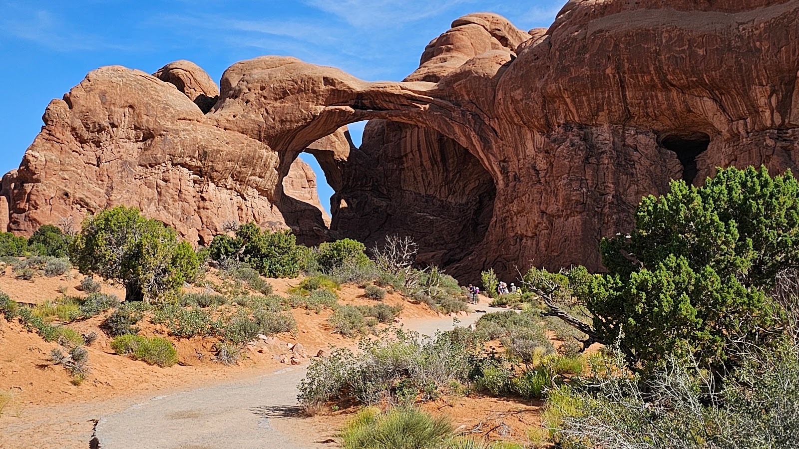
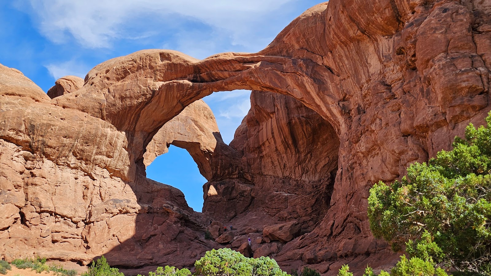
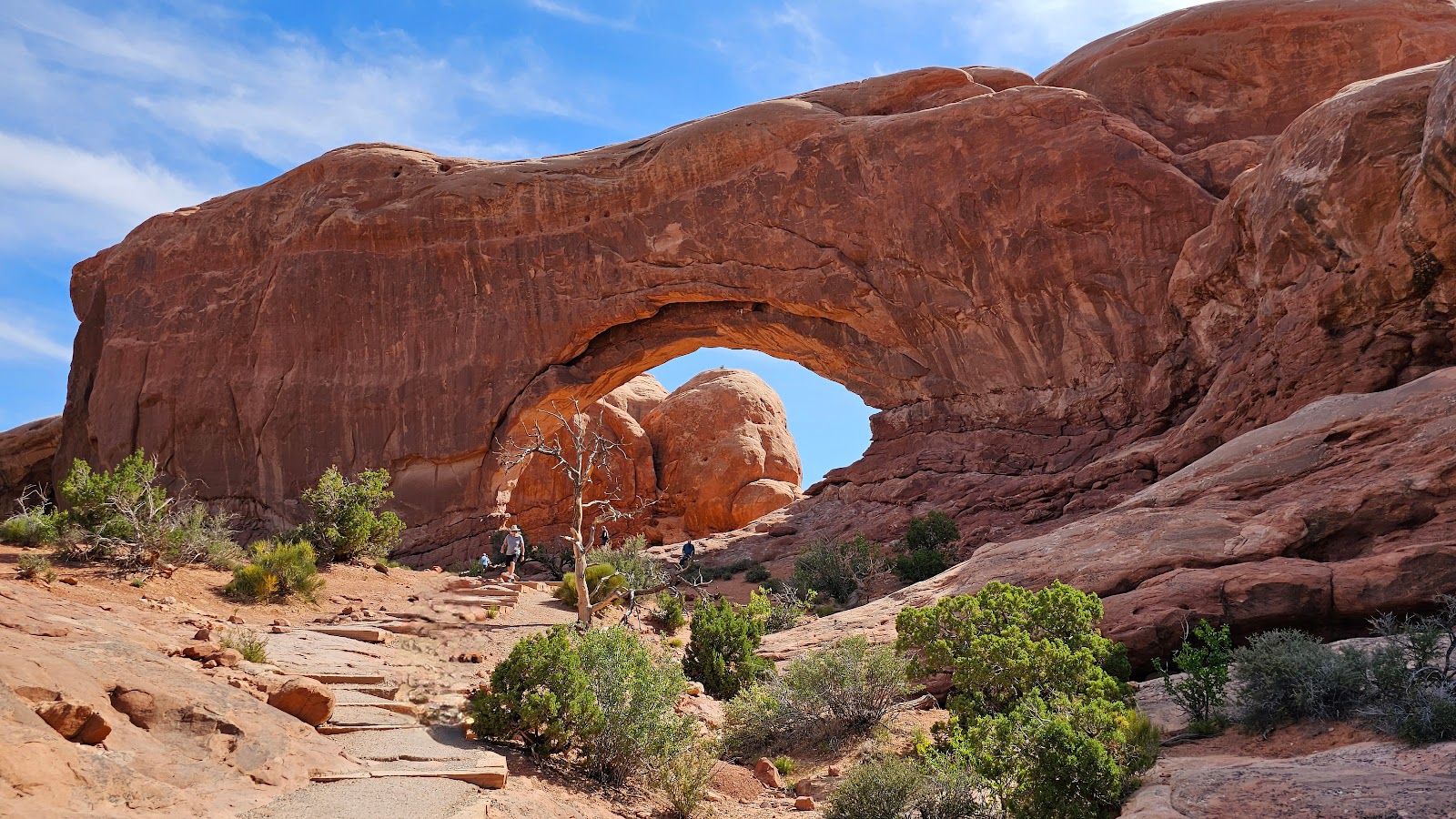
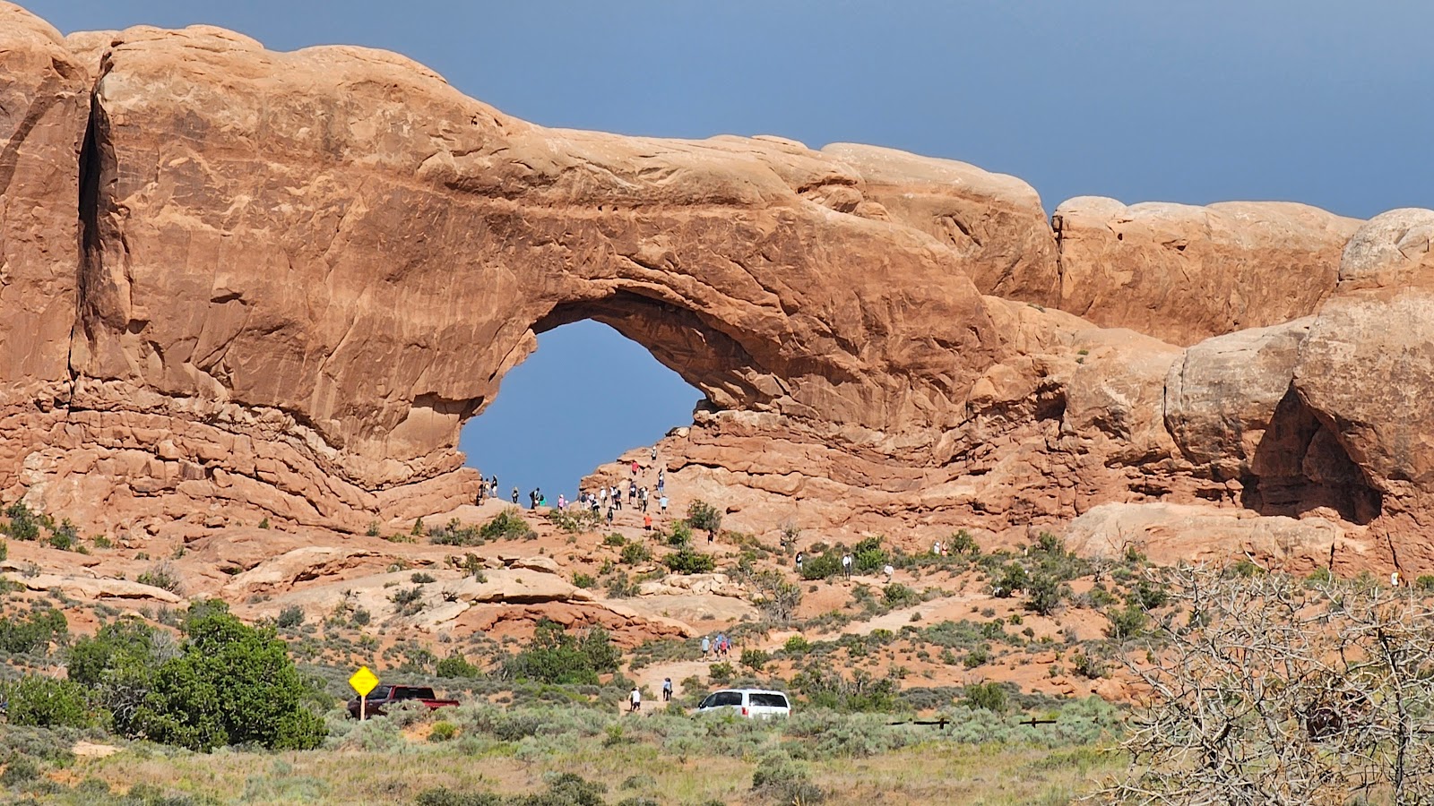
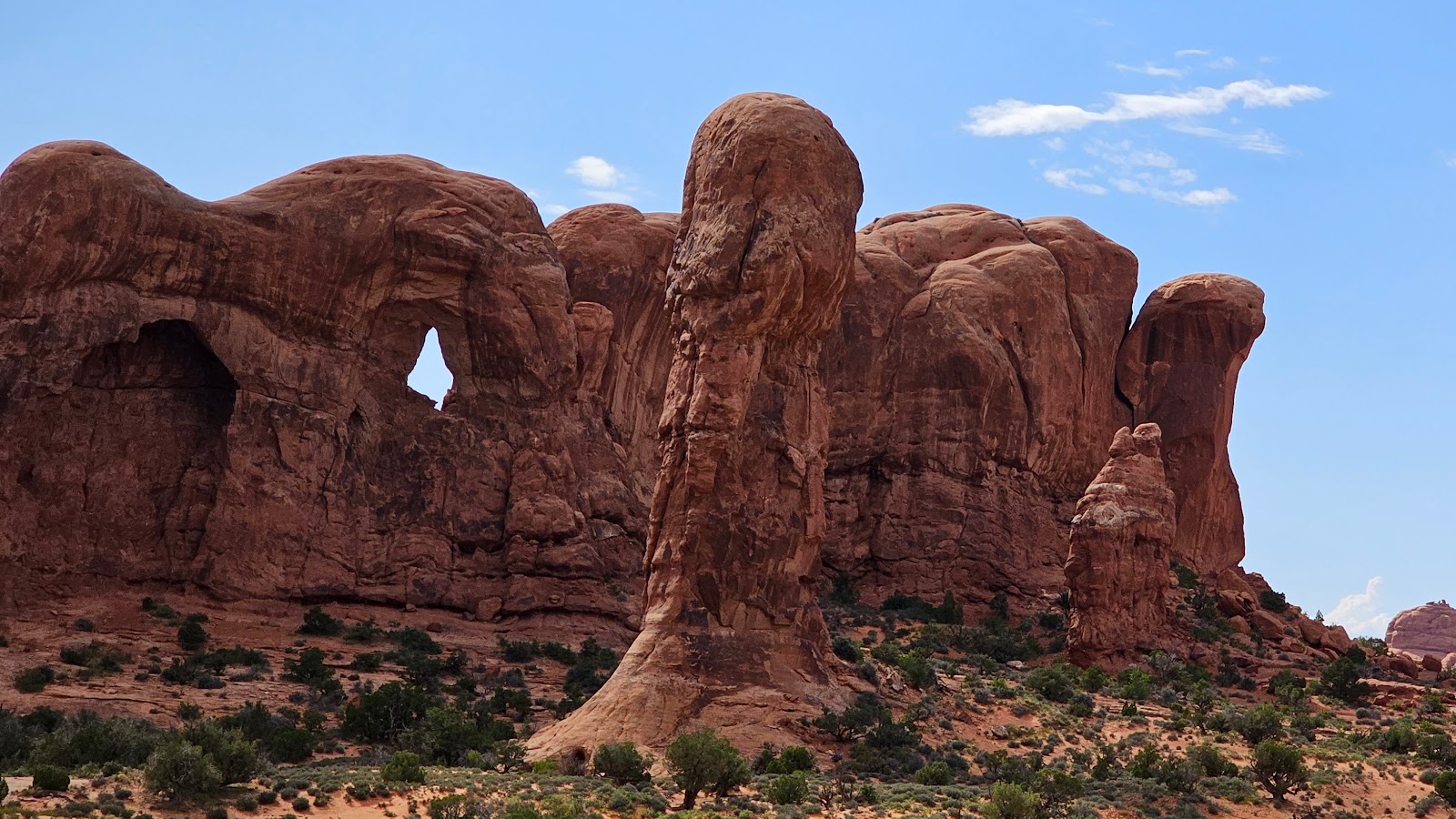
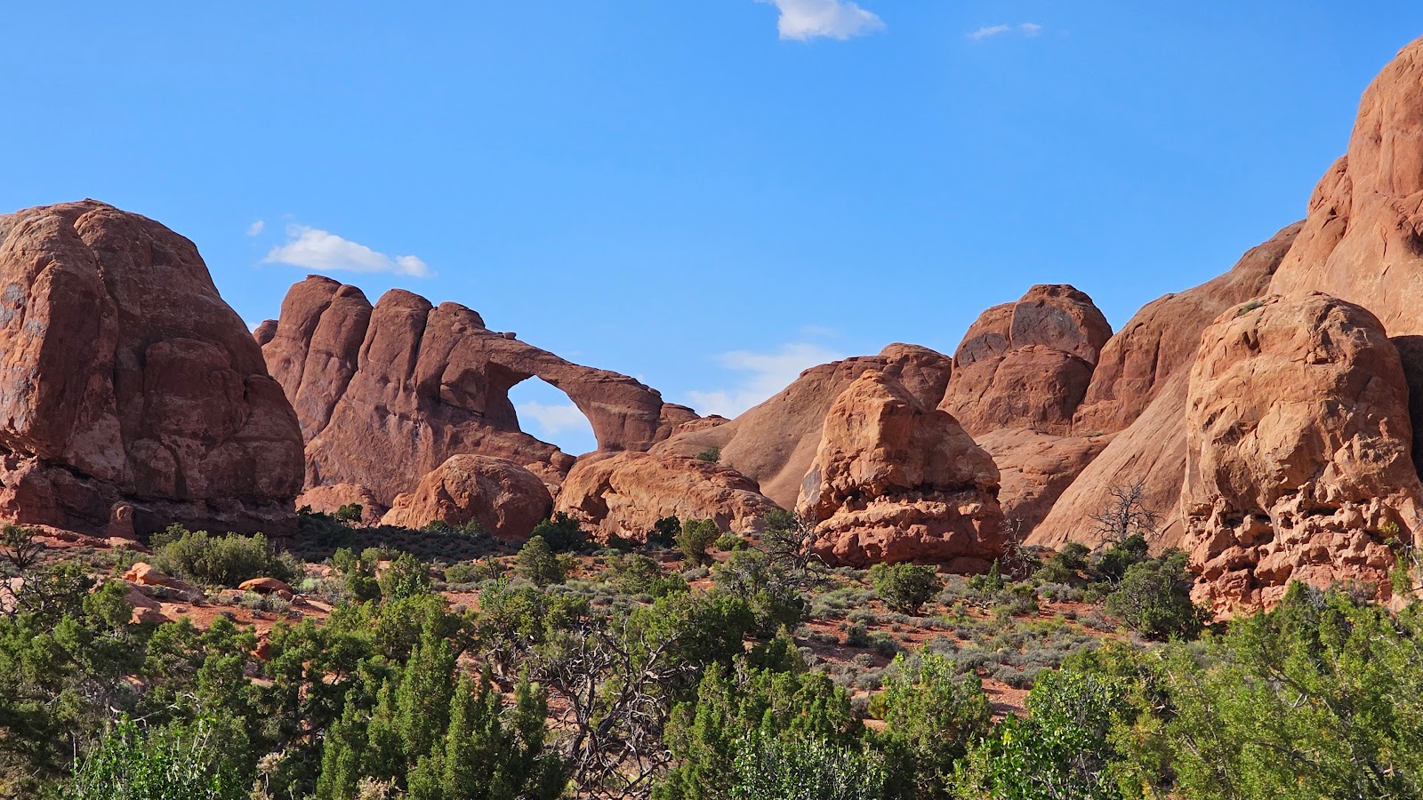
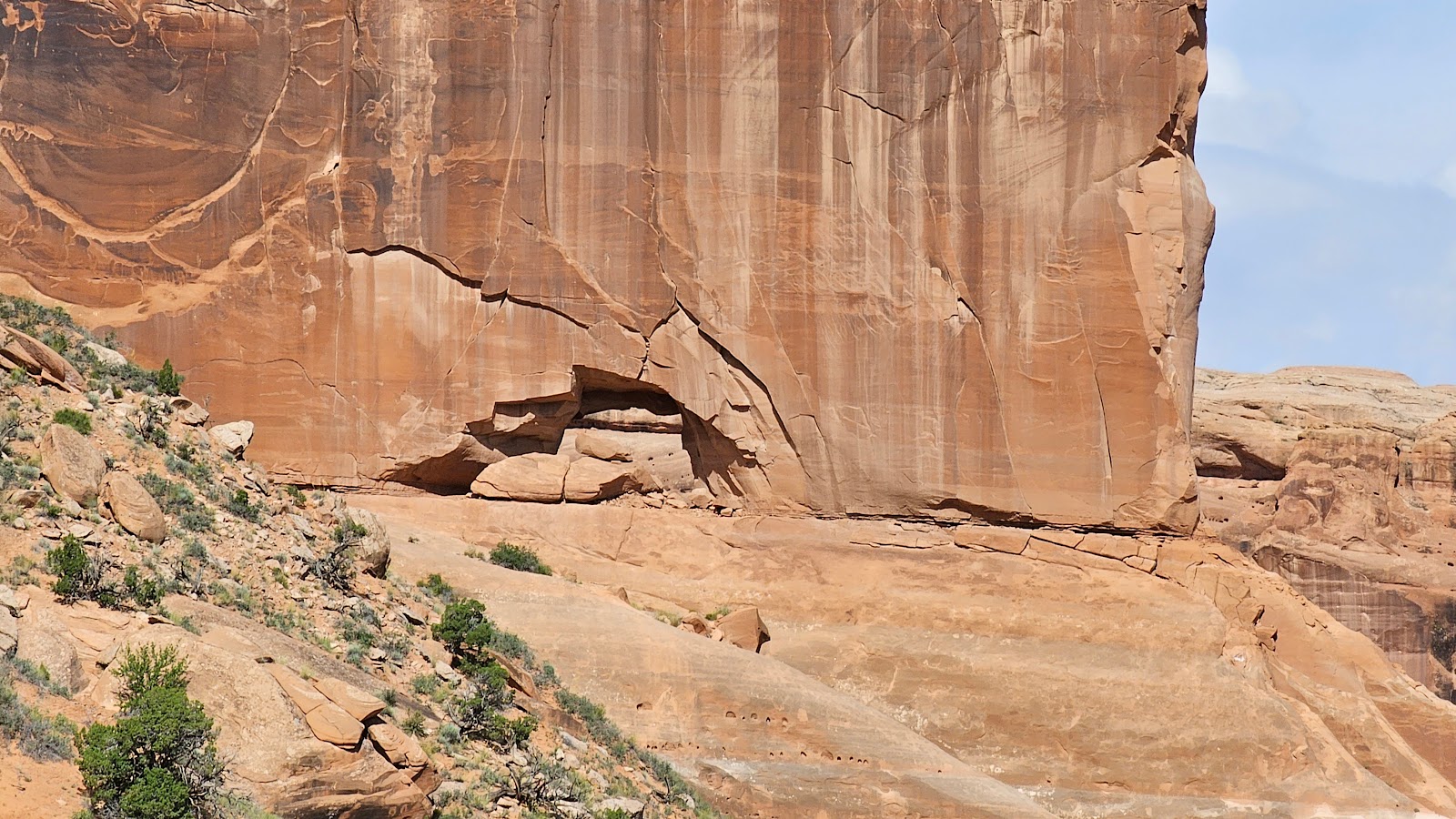
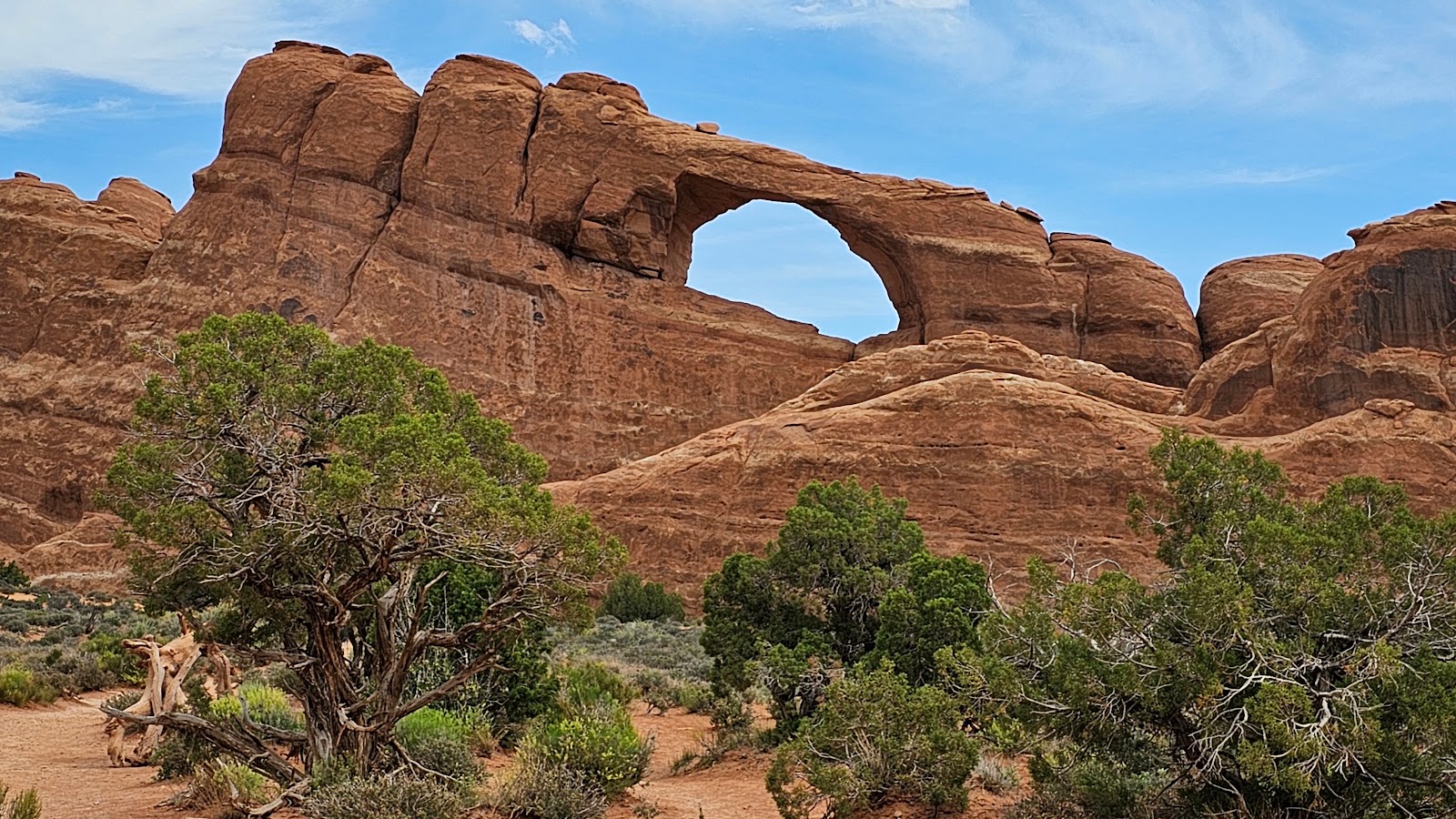
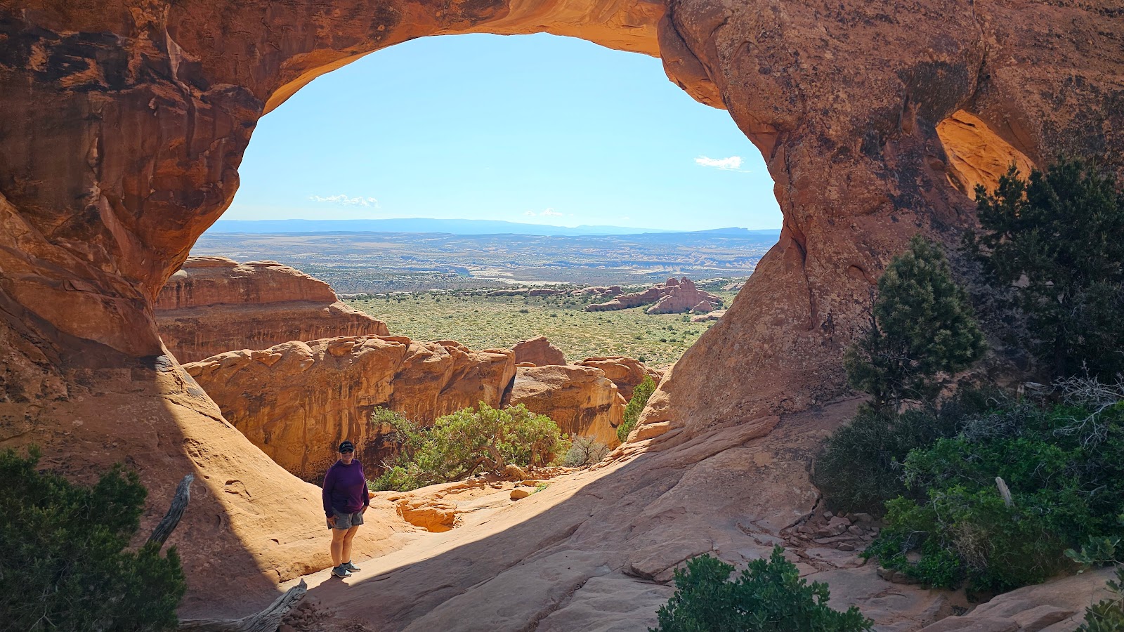
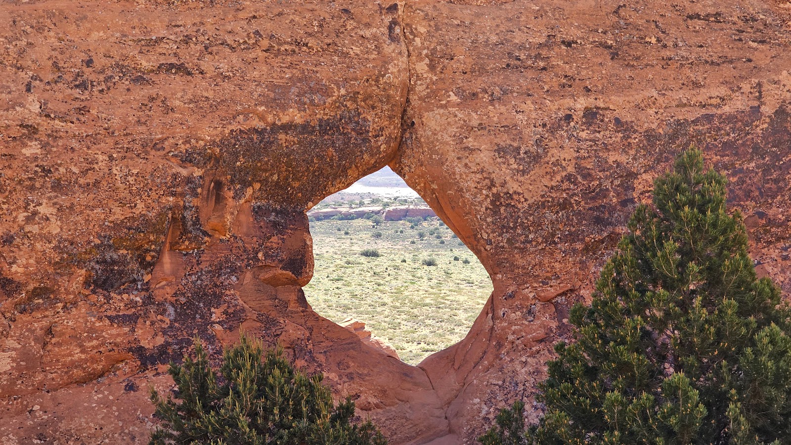
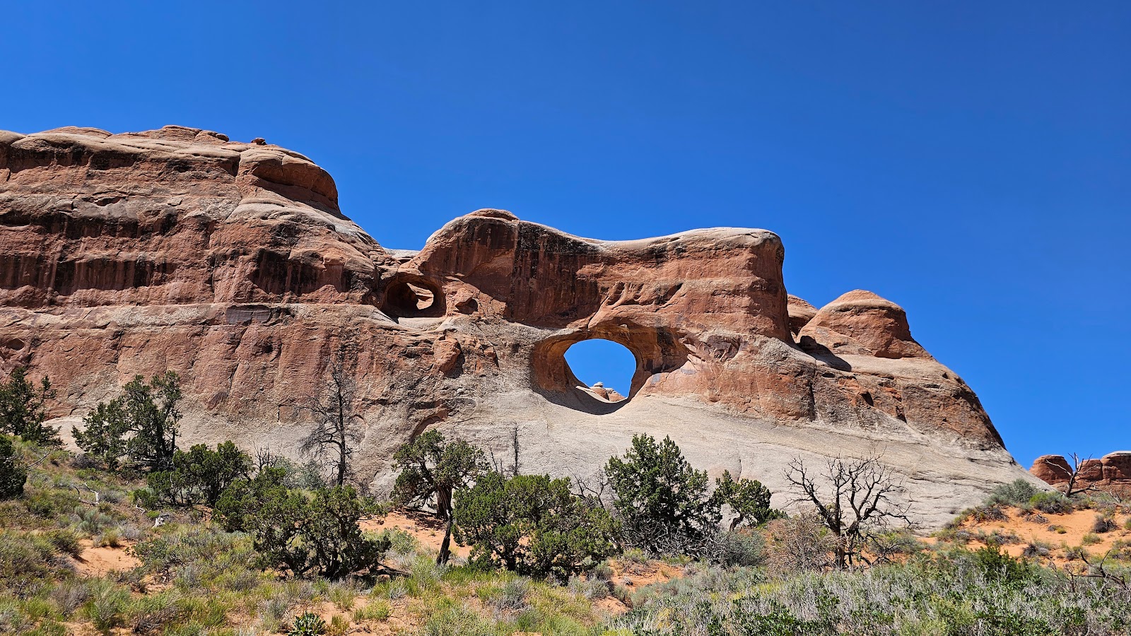
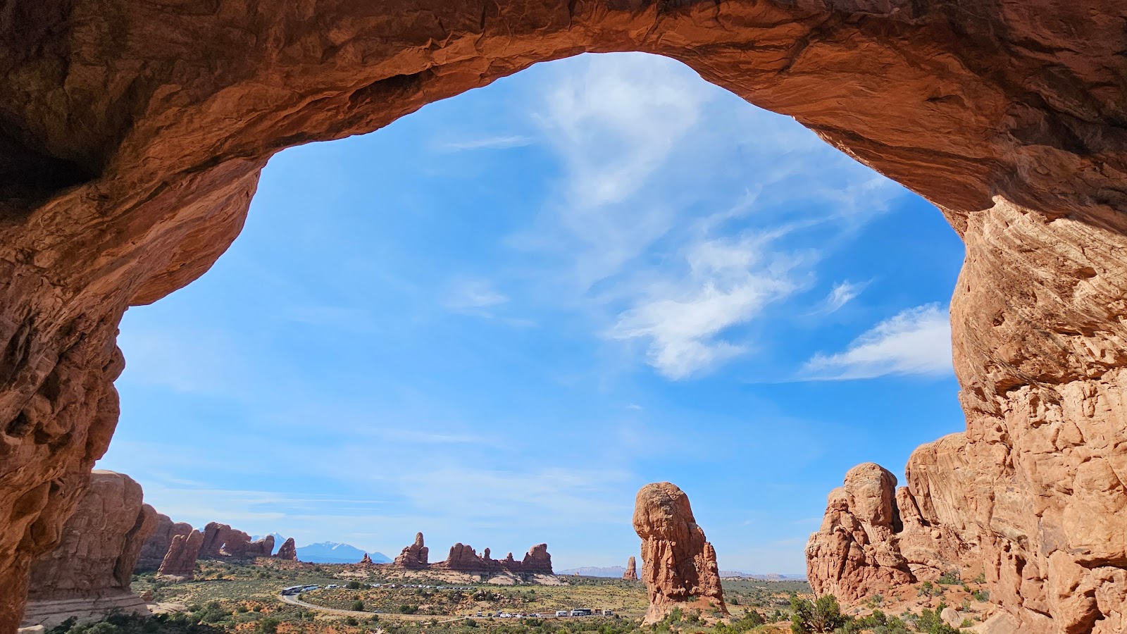
 This is named The Windows Section for obvious reasons.
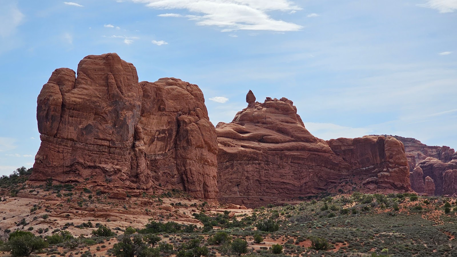
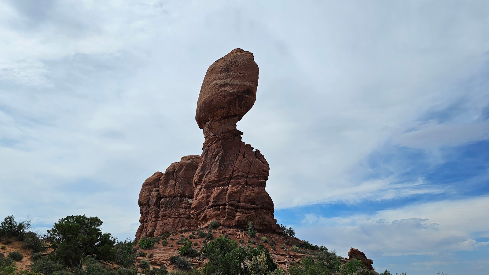
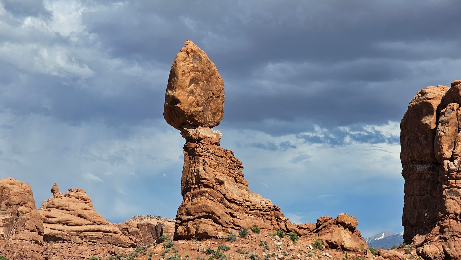 Any guesses of this formation's name? How about Balanced Rock.
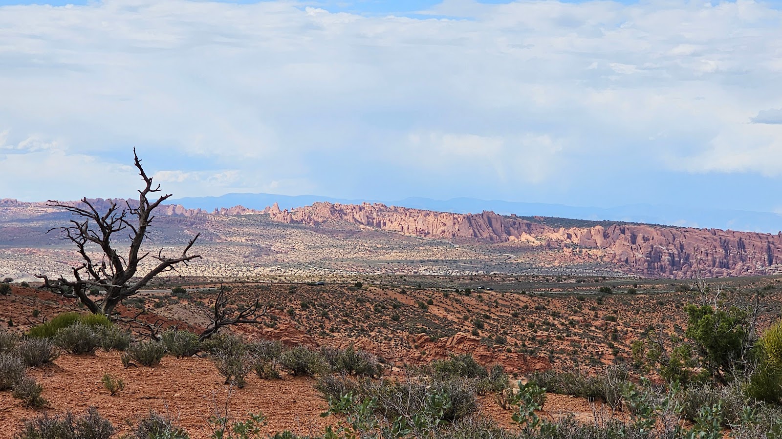
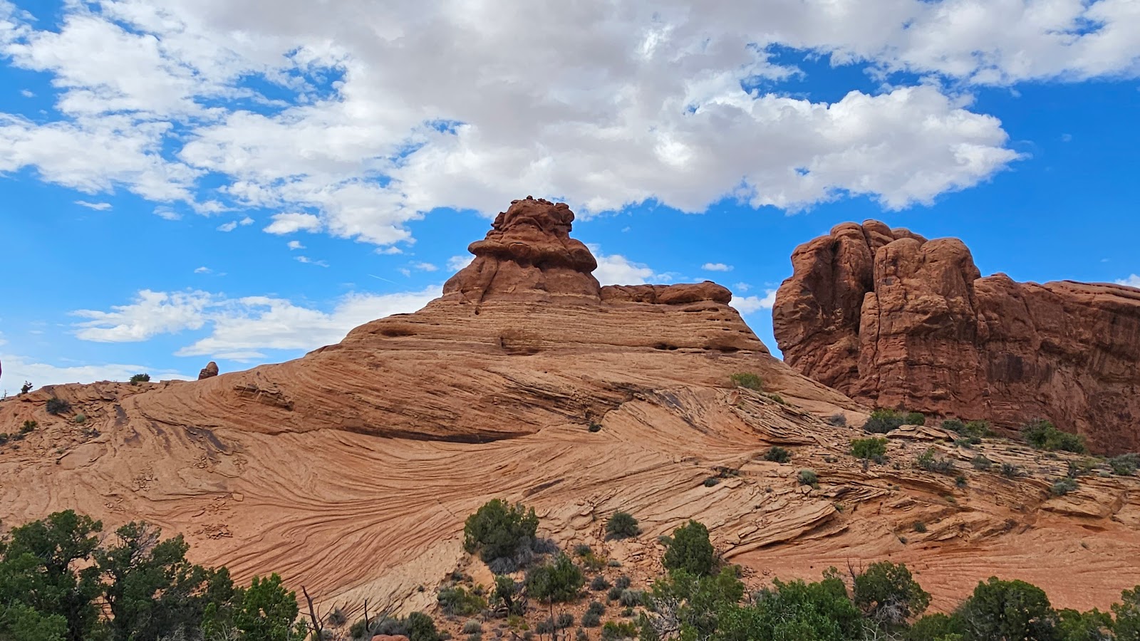
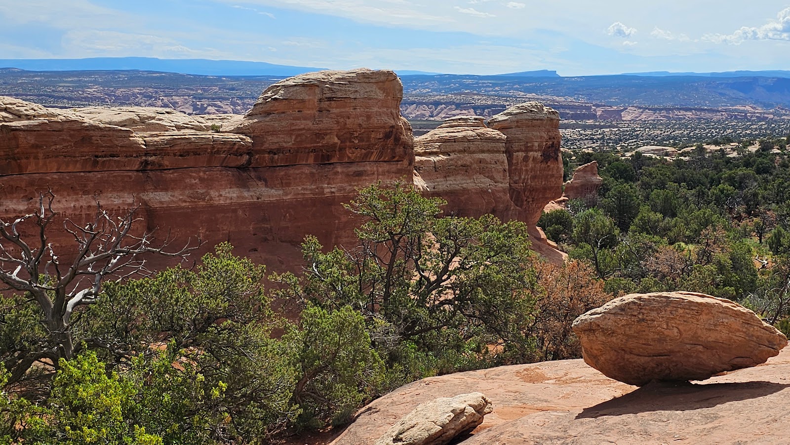
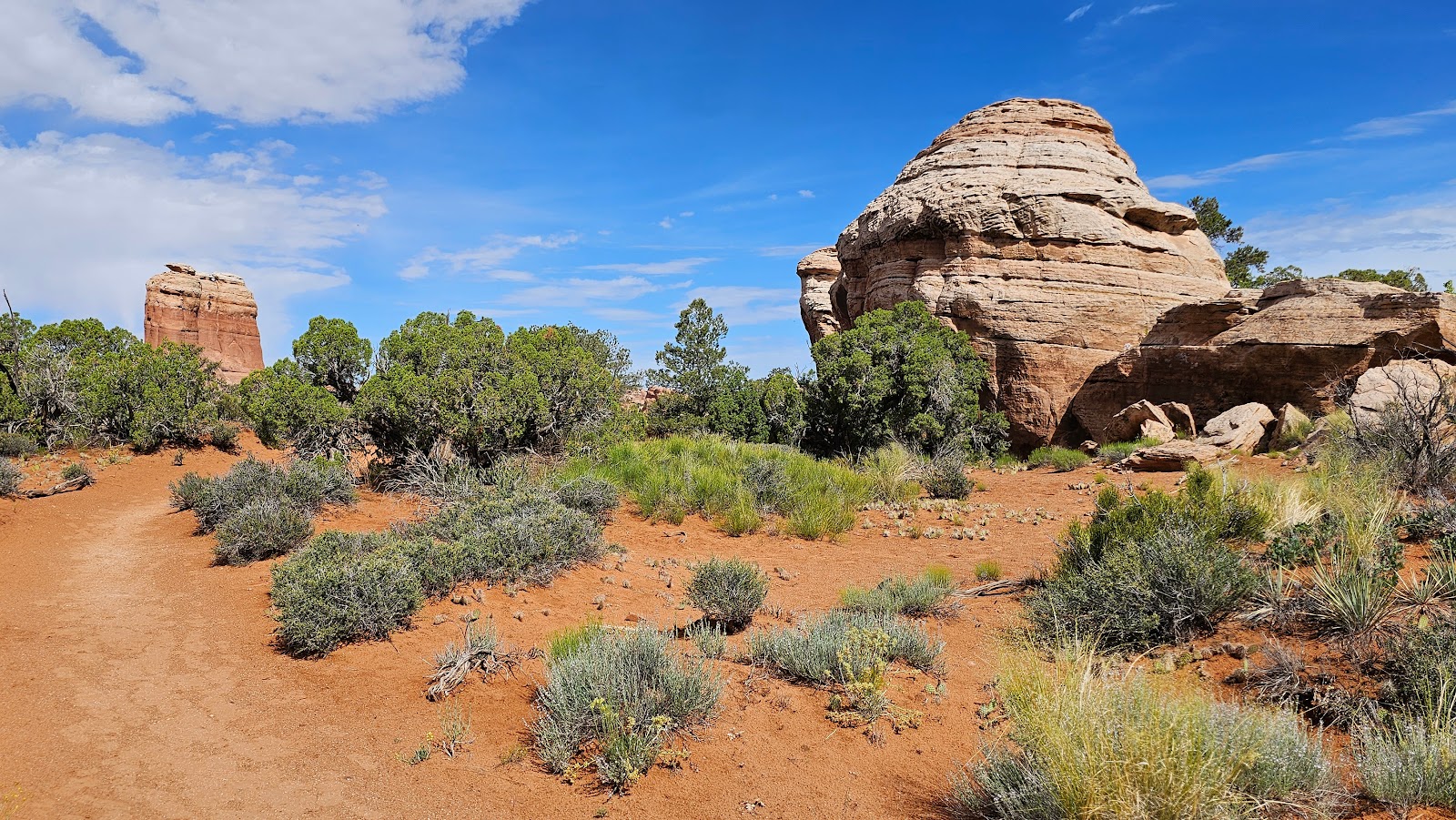
 Everywhere you look there are stunning landscapes.
 Let's head over to the Windows Section and take a look.
 Yes you can park your vehicle and hike up into the window, but we're saving that for later.
 Another couple of windows...
 ...and still one more.
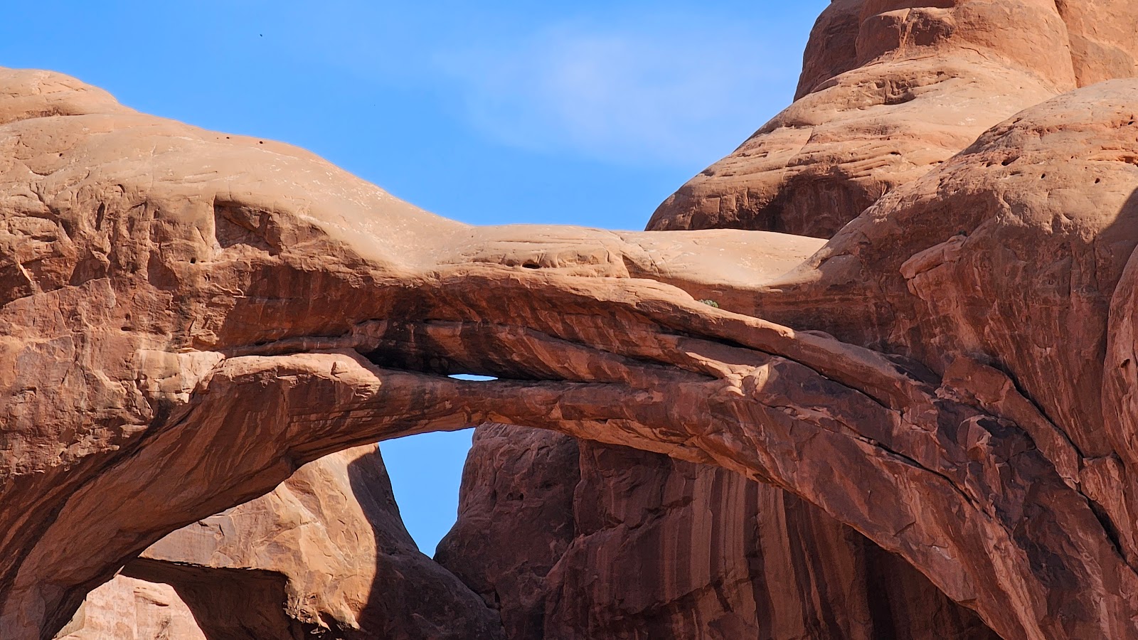
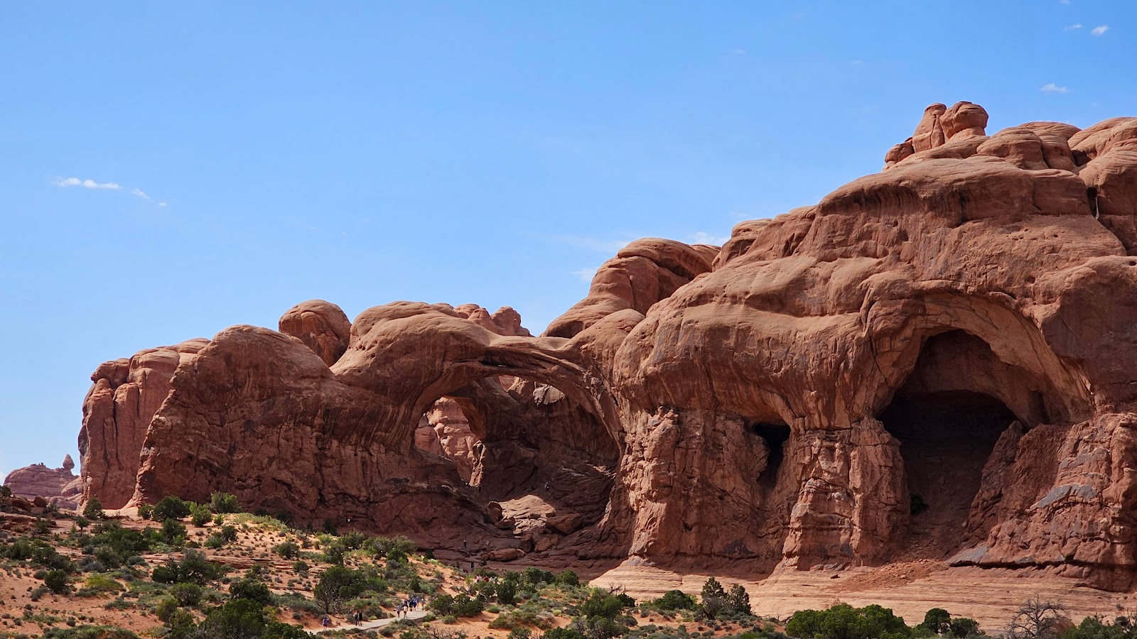 There's a double arch in this photo, can you see it?
 Now I bet you can!
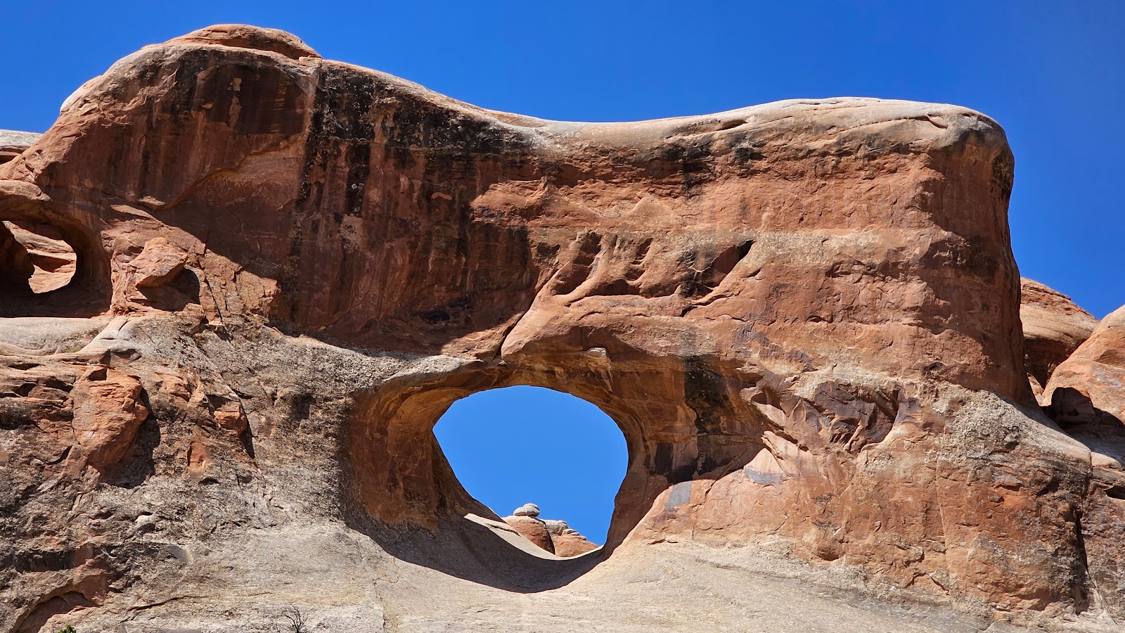
 Another window can be seen on the left, with several more in the making.
 The rocks look like melting ice cream to me.
 What's it look like to you?
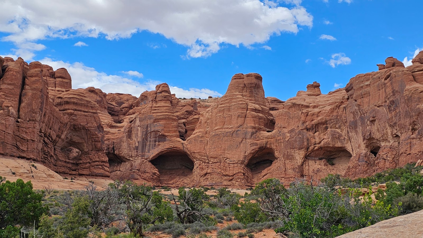
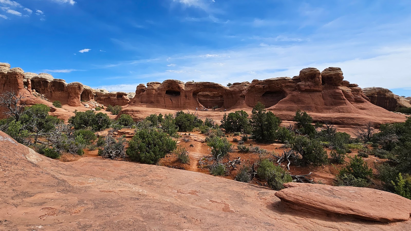
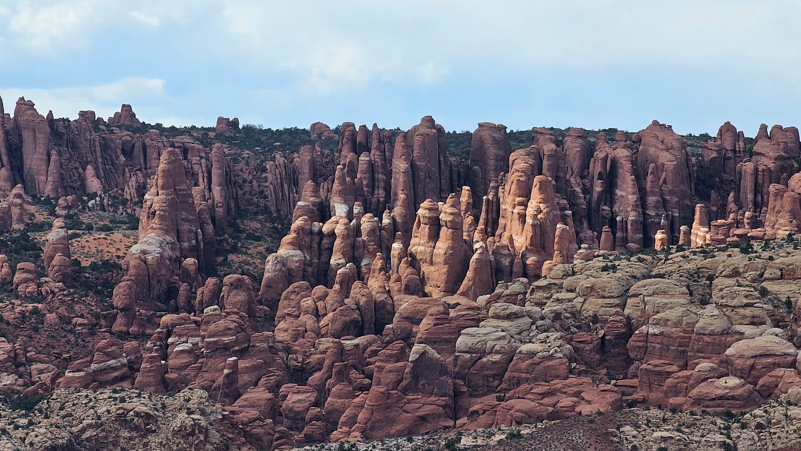 There's even a nice collection of hoodoos in the park.
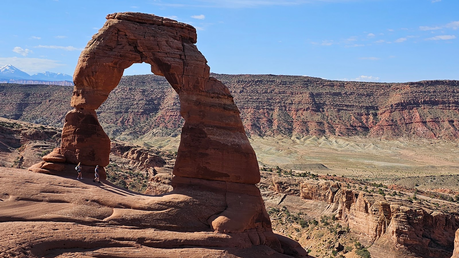
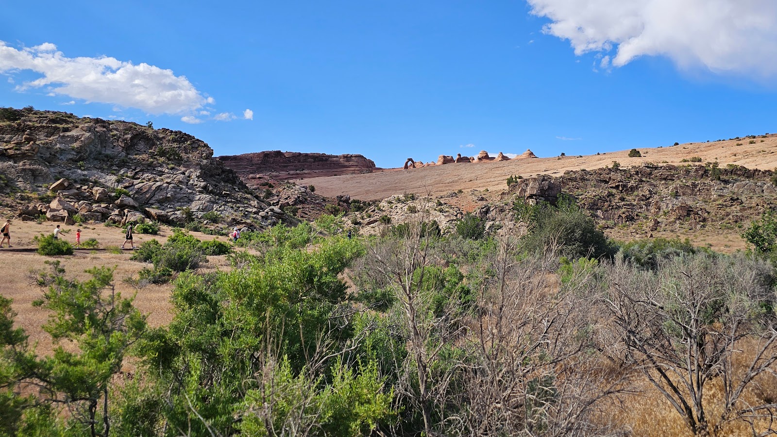 Can you spot Delicate Arch in this photo? It's found on all the mechandise the sell here.
 How about now? And yes, we'll be getting a closer look at this one too before we leave.
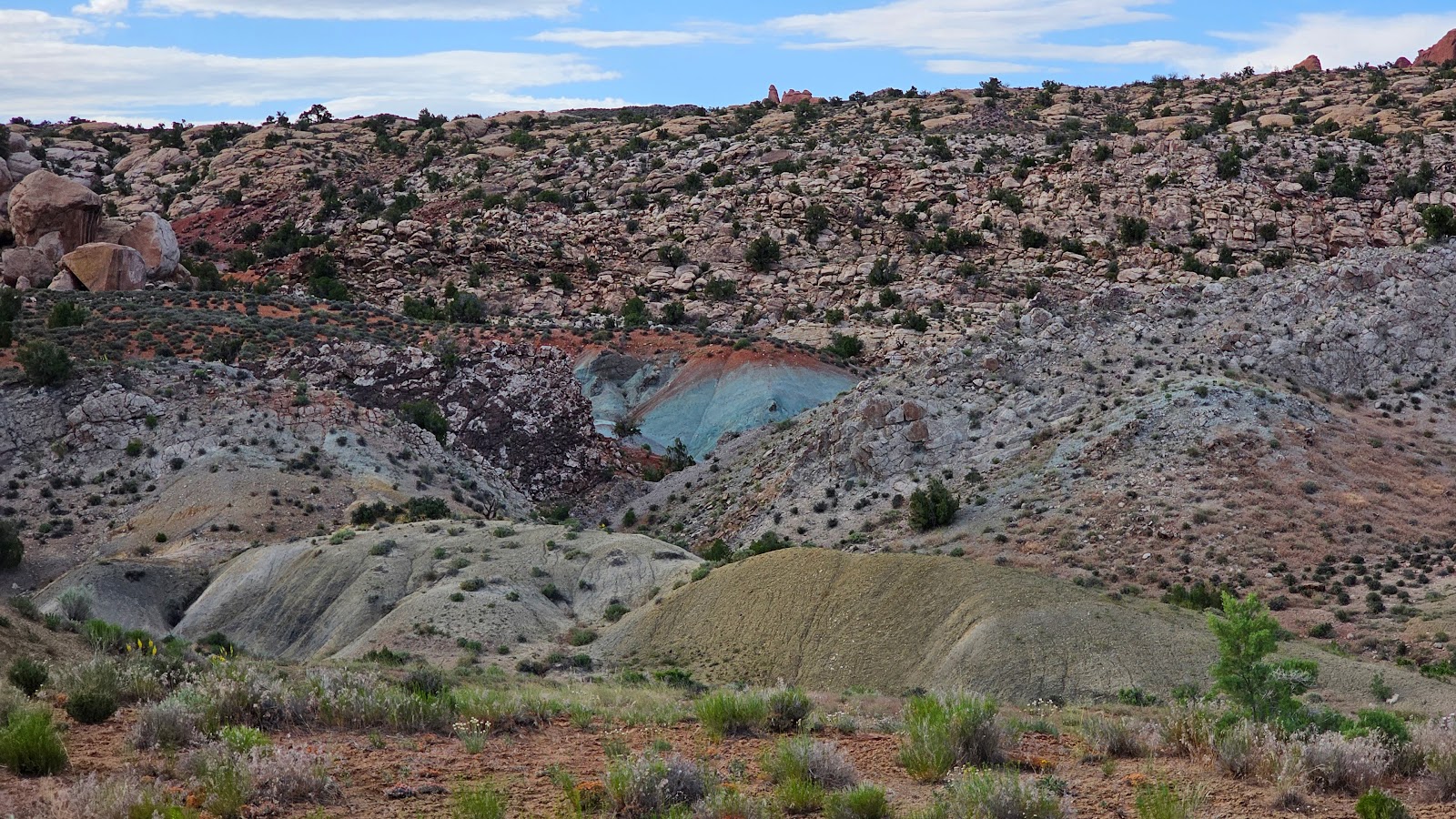 Green and blue and red sand hills and rock can be found in the park.
 There's an arch hidden in the middle of these formations, we'll be visiting that one too.
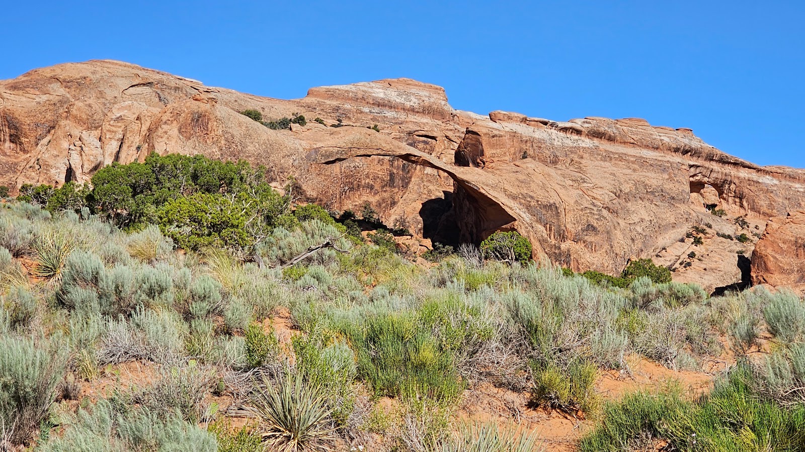
 Skyline Arch can easily be seen from driving through the park.
Tomorrow we'll start getting up close and personal with some of these locations.
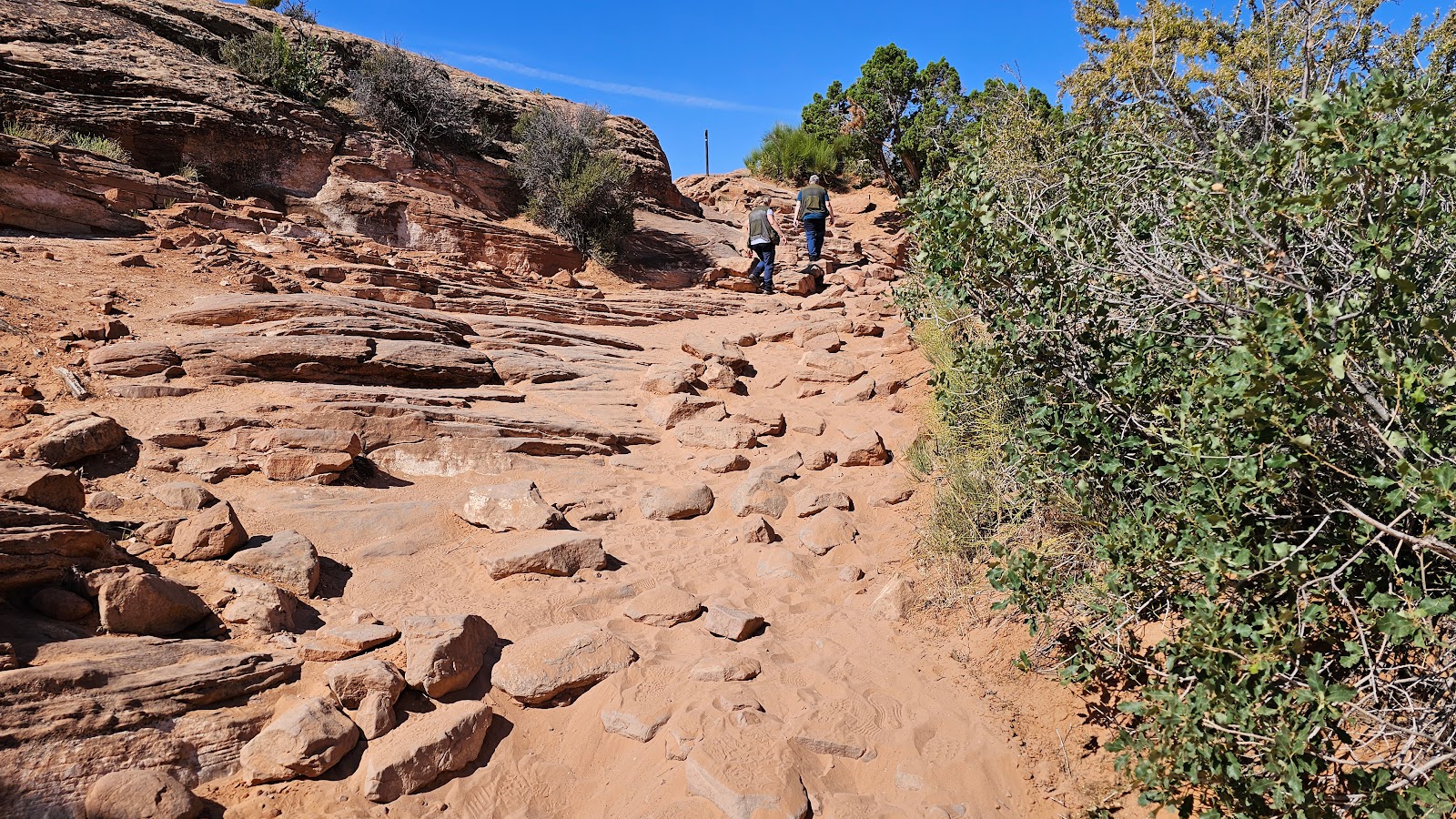
TUESDAY - Today we've selected to do four short, easy hikes that all are pretty well shaded in the early mornings.
That's important because this afternoon the temperatures are forecast to be in the high 80°F's and only partly cloudy, so not much help from the clouds for heat relief.
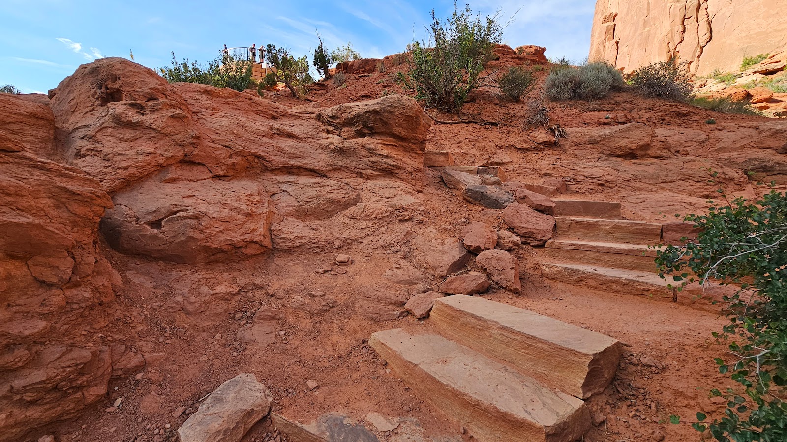
As promised, Park Avenue Trail will be first up this morning. In order to make this an easier hike, Tricia will be hiking the "all downhill .9-mile trail" and I'll drive around and pick her up at the bottom of the trail. This way it saves the need for anyone to hike back up the 322' of elevation to return to your vehicle.
I did walk out to the first overlook of the trail, maybe 50-yards, and planned on hiking some of the trail from the other end after I moved ROVER into position.
But Tricia surprised me by showing up just 40-minutes later before I even finished readng a chapter in my book.
There are three additional trails we both did this morning, so enjoy the photos.
MORNING WARM UP HIKES
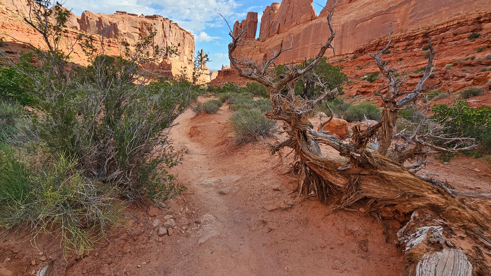
 This morning the Park Avenue Trail route is well shaded.
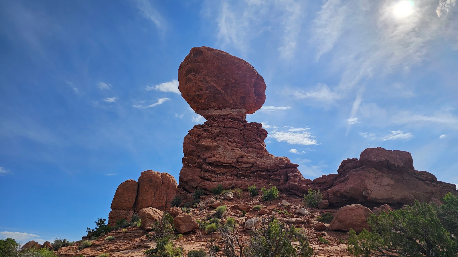
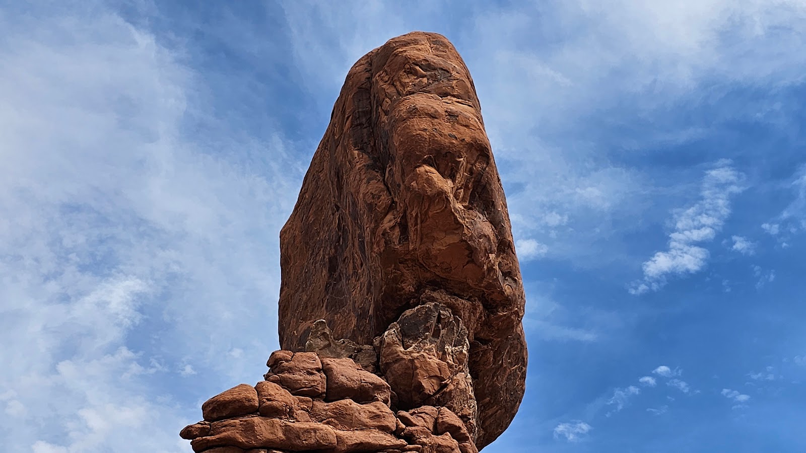
 Yesterday I proposed the idea that the balanced rock would be there for another 100 years.
 Upon closer inspection I think asking for another 100 years might be too much.
 Half way down the stairs Tricia looks up and over her shoulder to see if I'm still watching.
 Nope! But she still has the second half of the stairs to negociate, at least they're all downhill.
 She finally reached the bottom and some level ground.
 Thanks to these high walls it's shady here in the early morning.
 This formation is known as Courthouse Towers.
 This formation is called the Three Gossips.
 It would be hard to get lost following this trail.
 Straight ahead is the Tower of Babel formation.
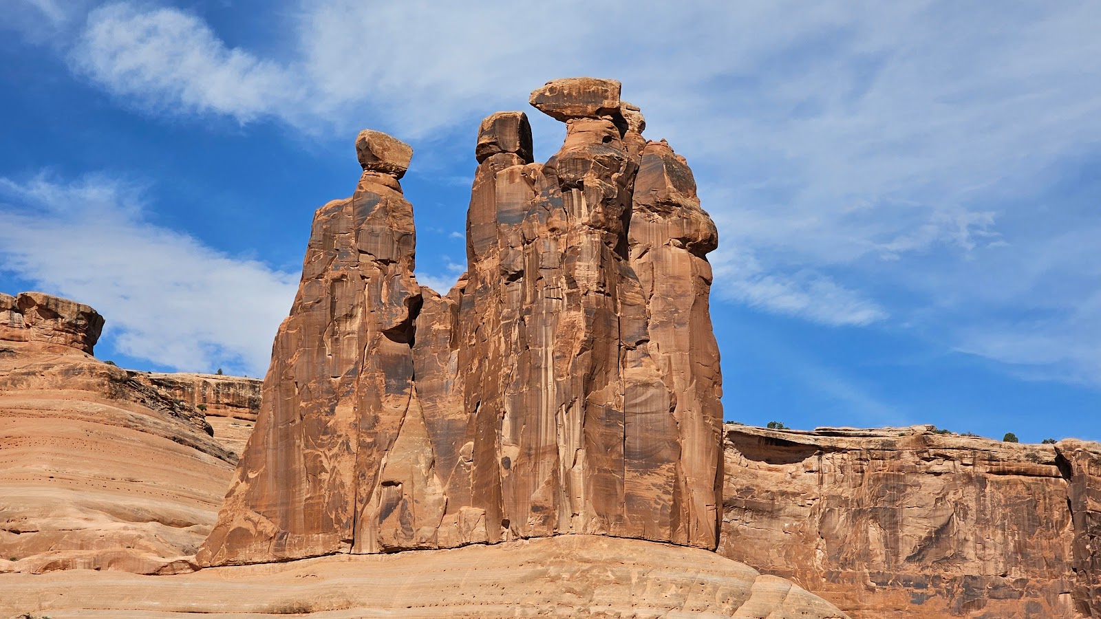 Here's the Three Gossips again, from a slightly different angle.
 According to this storyboard...
 ...geologists believe a double arch once connected these two towers.
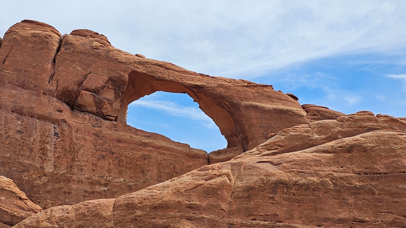
 One thing's for sure, the Baby Arch is alive and growing, but ever so slowly.
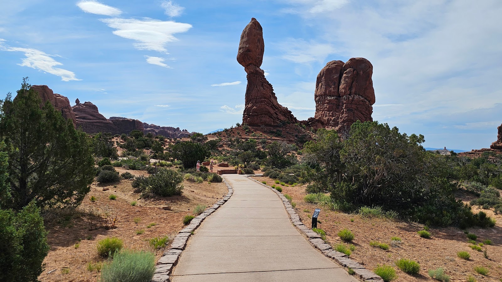 This is "The Balanced Rock", but it's actually one of many in the park.
 As you walk the trail around the base of the rock it appears to change shapes.
 Also from this trail you get a good look at the Windows Section and the La Sal Mountains.
 See how the shape has appeared to change again?
 This one looks a little shaky too. A nearby smaller balanced rock fell in the winter of 2005.
 That unnamed balanced rock over there looks like an arrowhead.
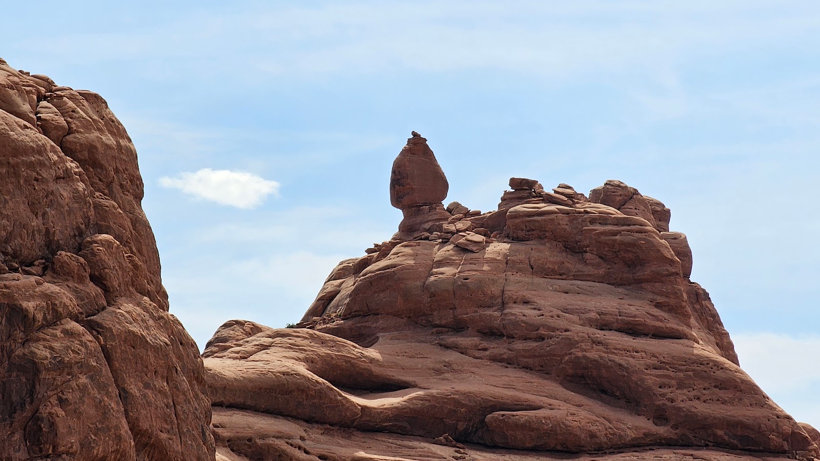 At least it does to me from this angle.
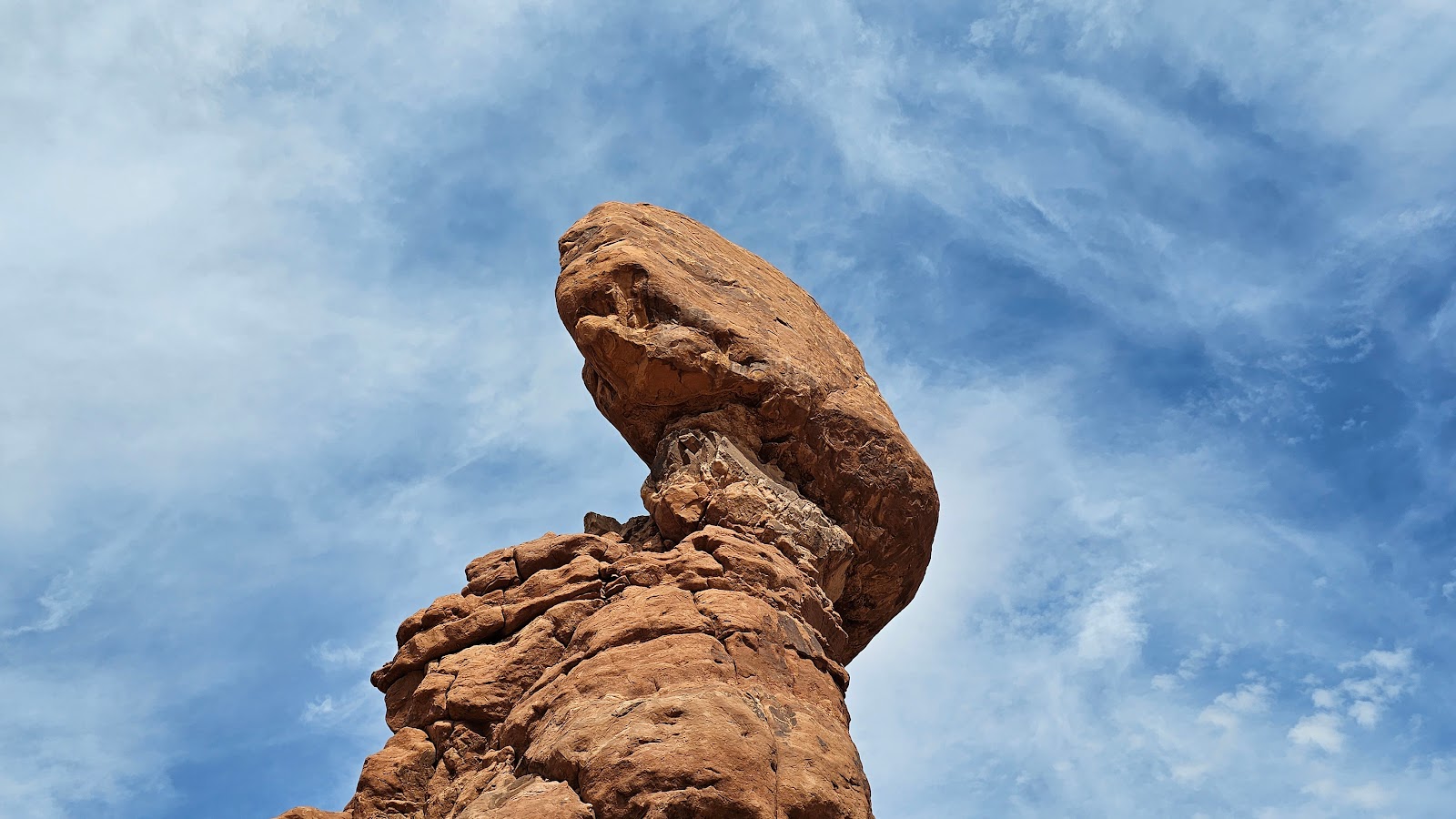 Looking up again at The Balanced Rock it now looks like a dinosaur head.
 I guess that could still look like the rear of a dinosaur head.
 But now that we're back to the beginning of the trail, not so much.
 When we got close enough we could see what everyone else was looking at on the ground.
It was a lost baby Kangaroo Rat squeaking loudly looking for it's mother.
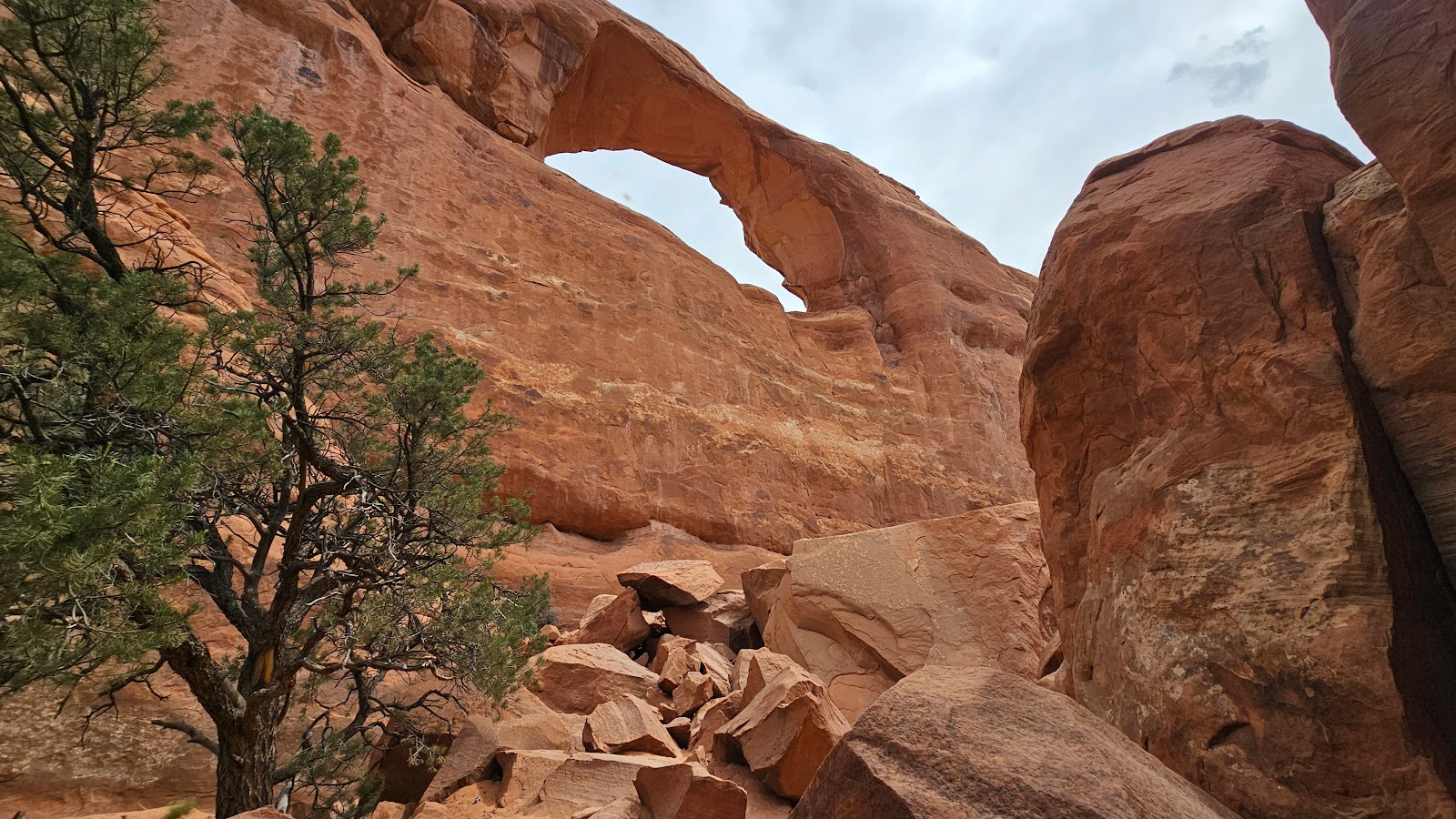
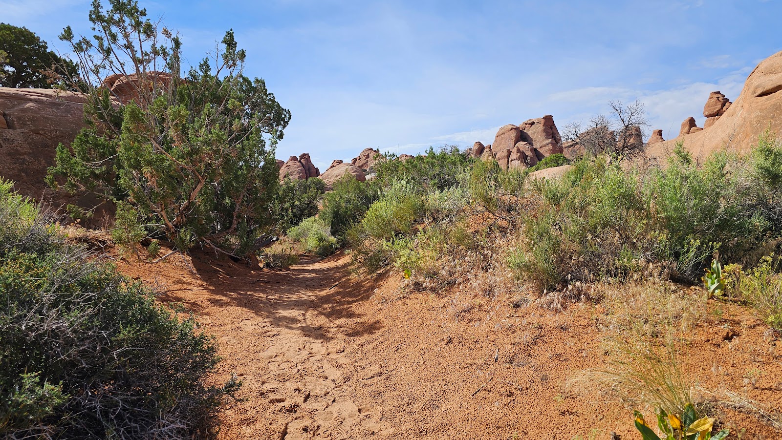
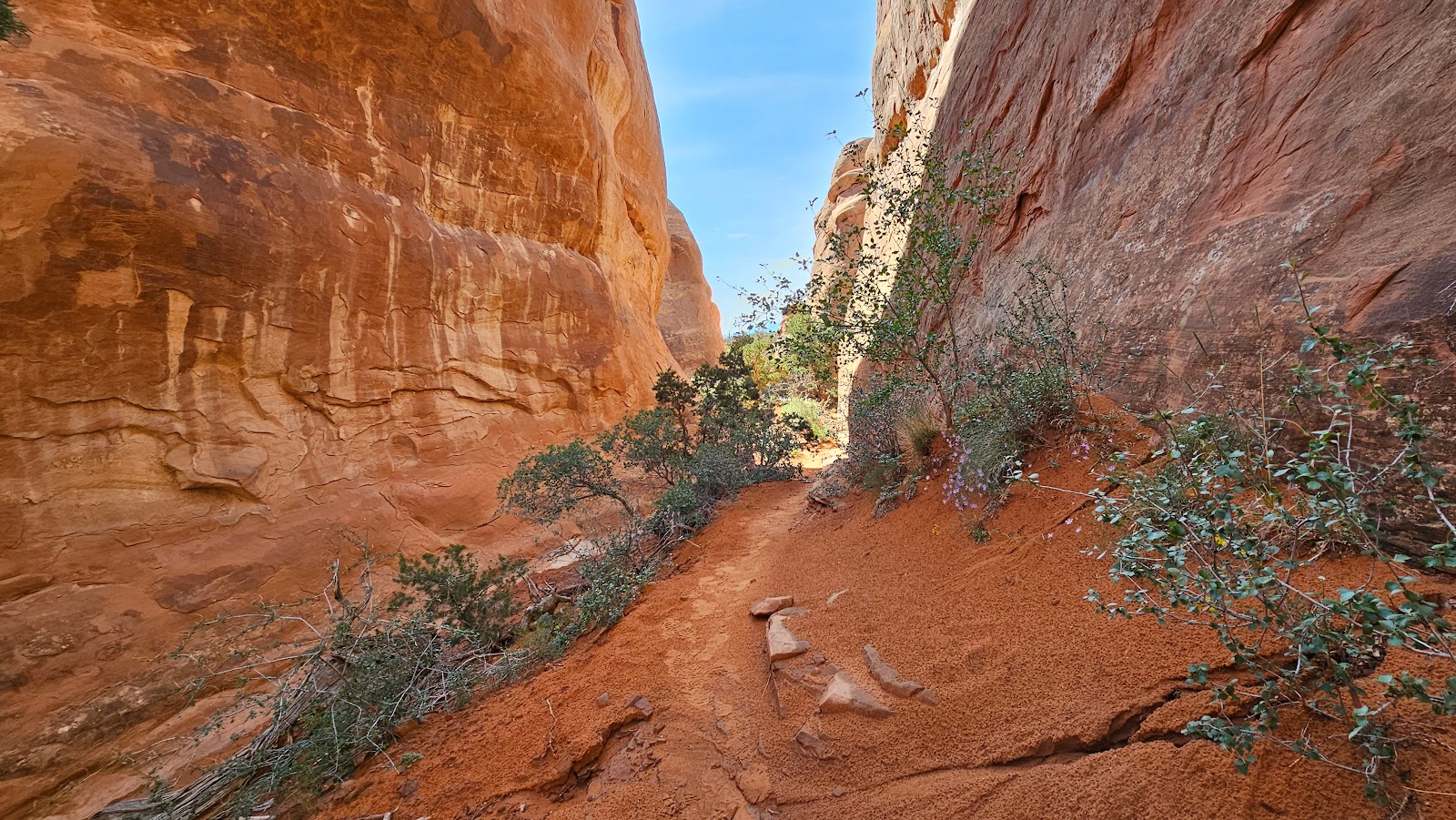
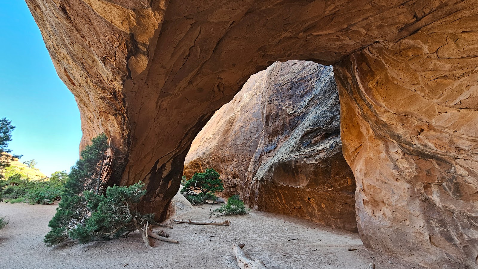
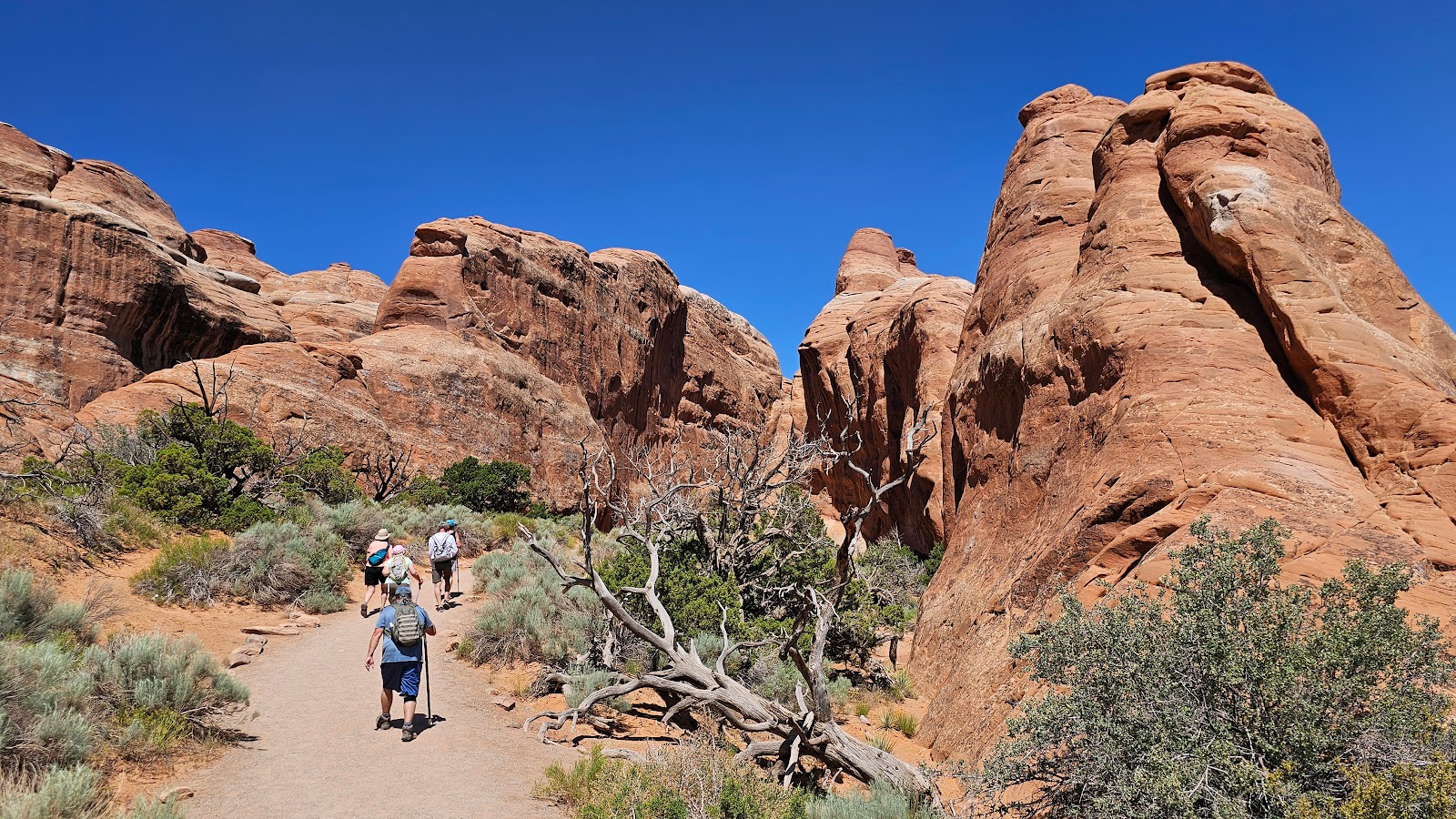
 Halfway down the trail it turns and starts heading "into" the rocks.
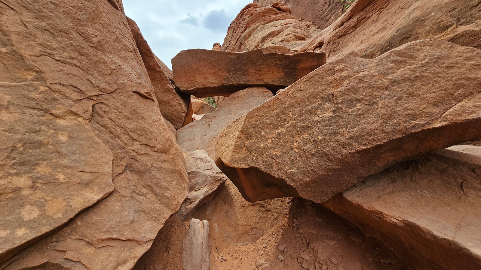
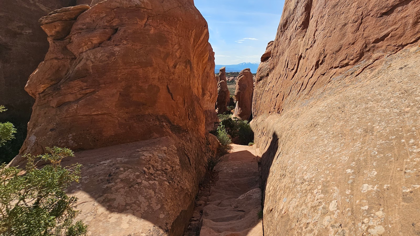
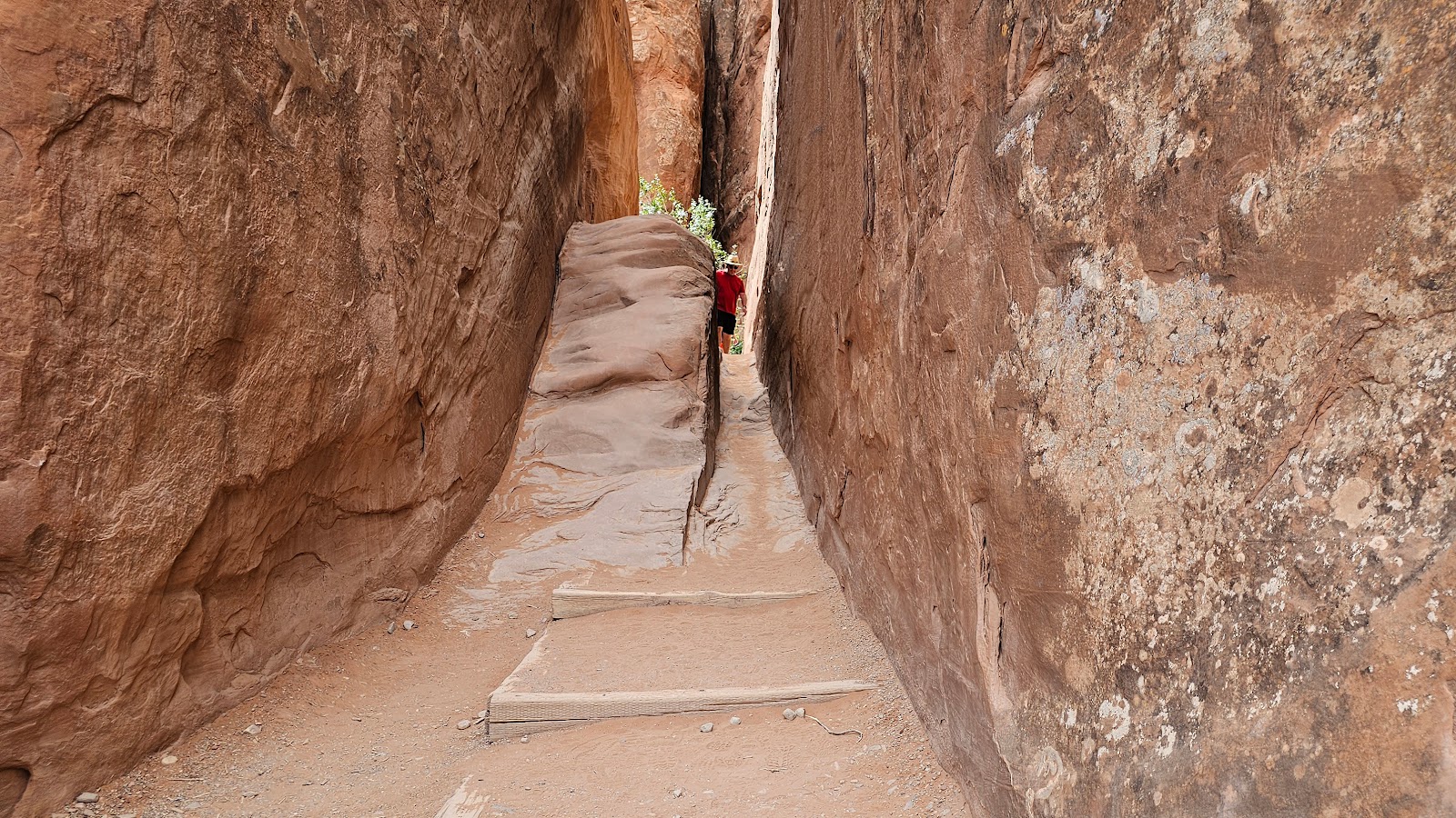 There's one skinny area you'll have to squeeze through, or climb your way over on the left.
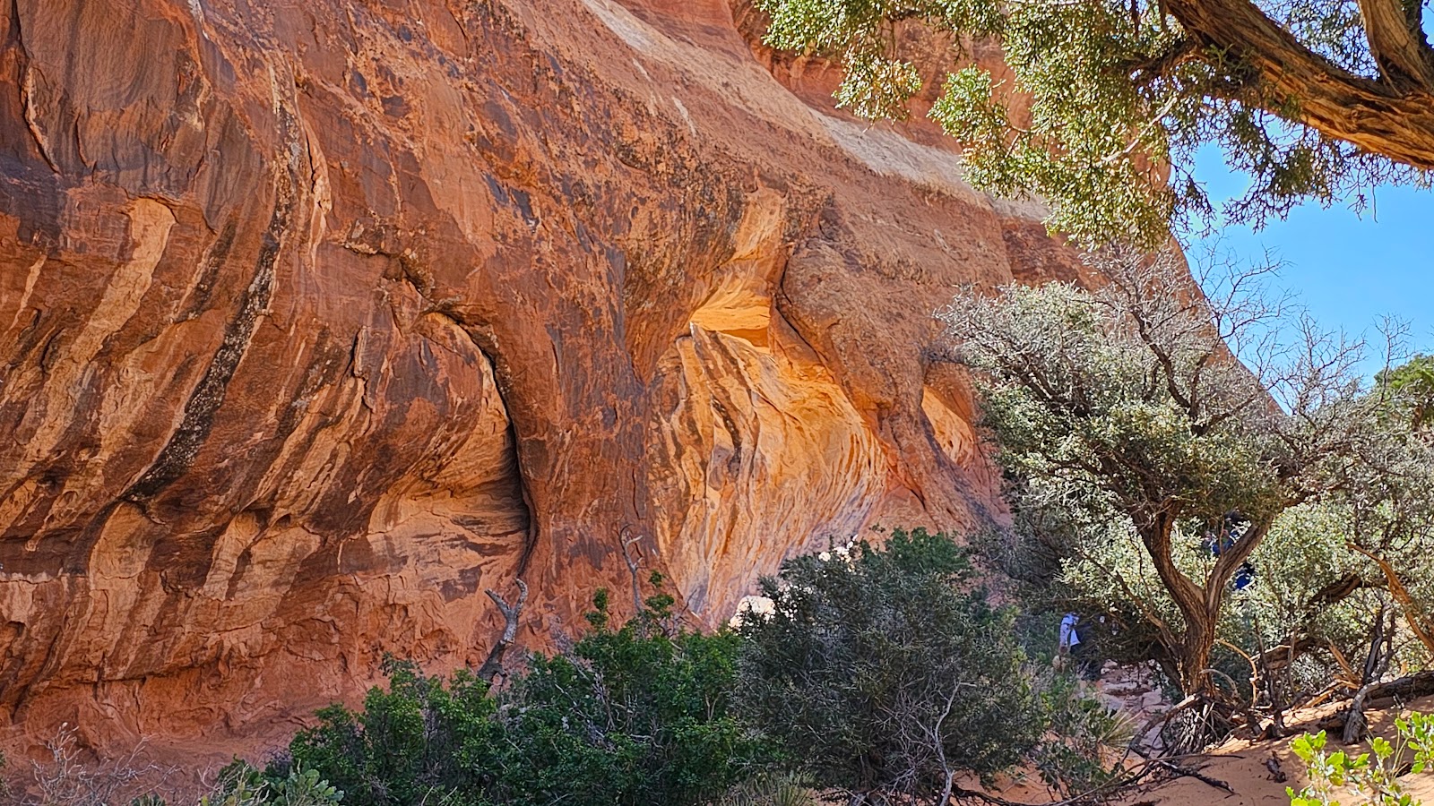
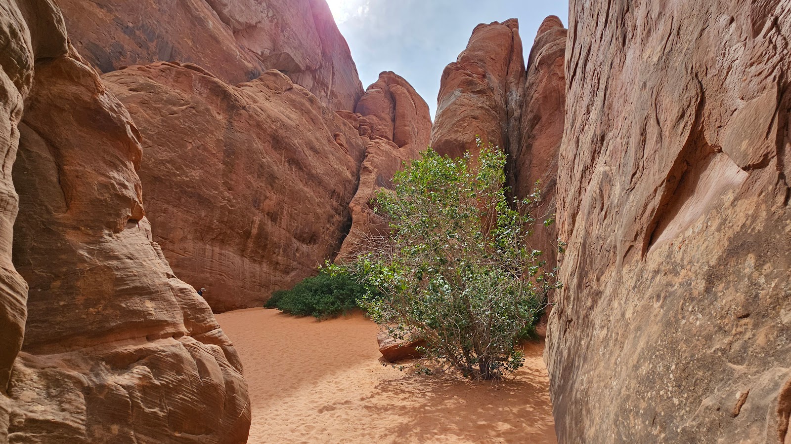 On the other side it opens up into a small alcove in the rocks where the sand gets deeper.
 The sand is deep and difficult to walk through. Looks like someone gave up and is waiting here.
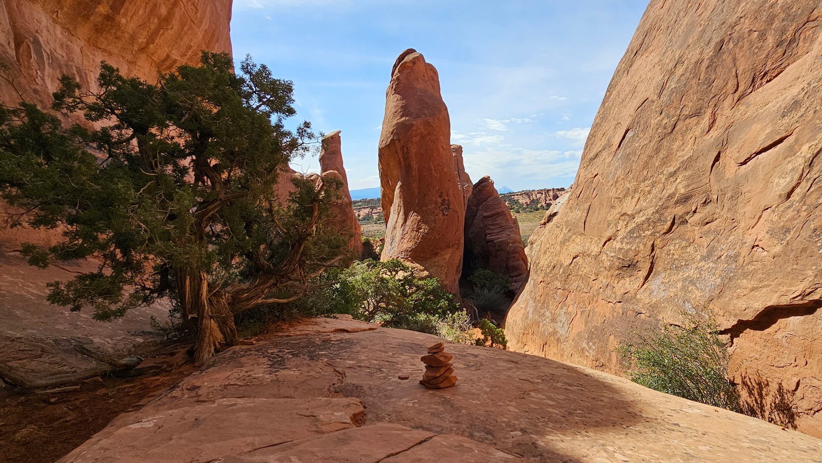
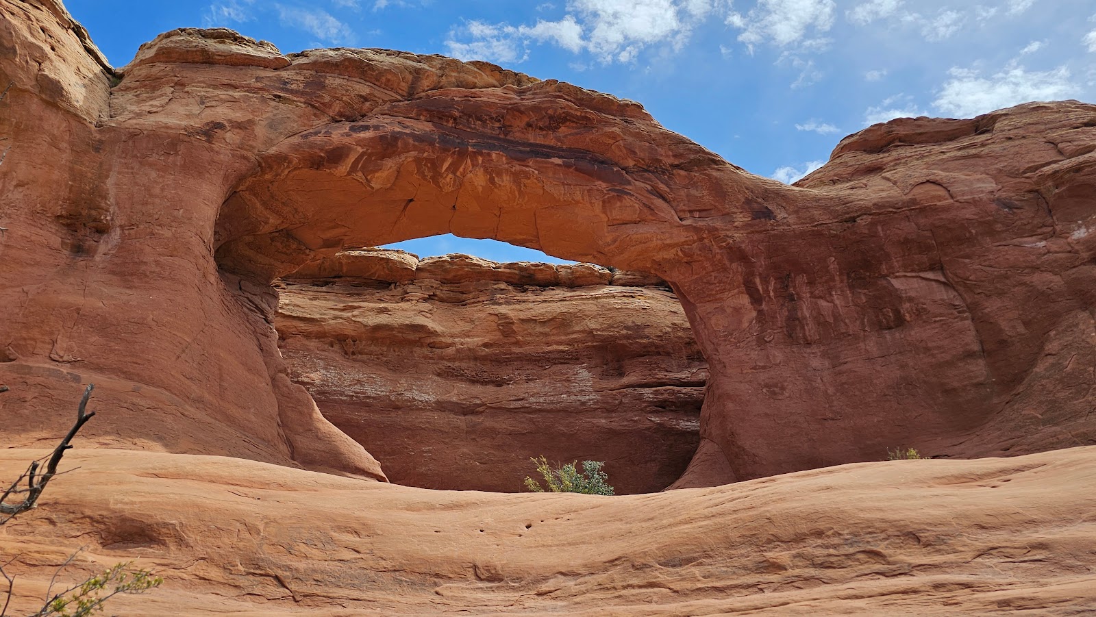
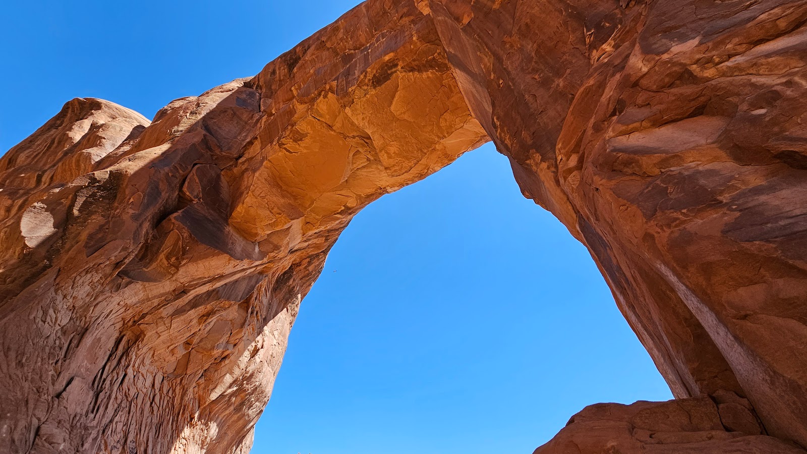
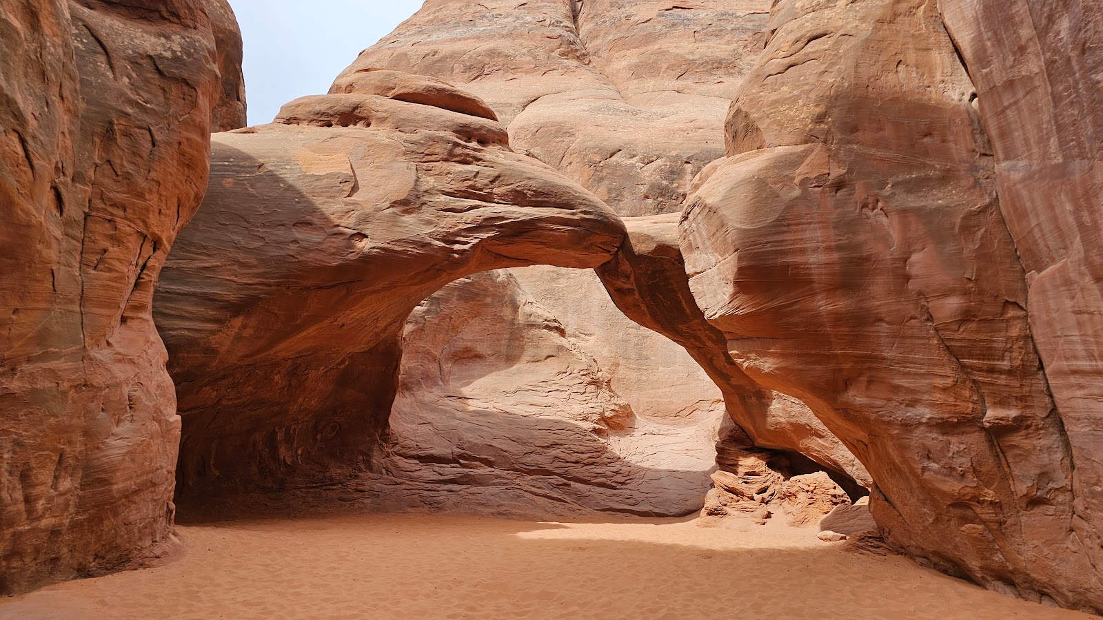 If they only knew that just around the corner was the Sand Dune Arch.
 It's a pretty nice reward for such a short hike.
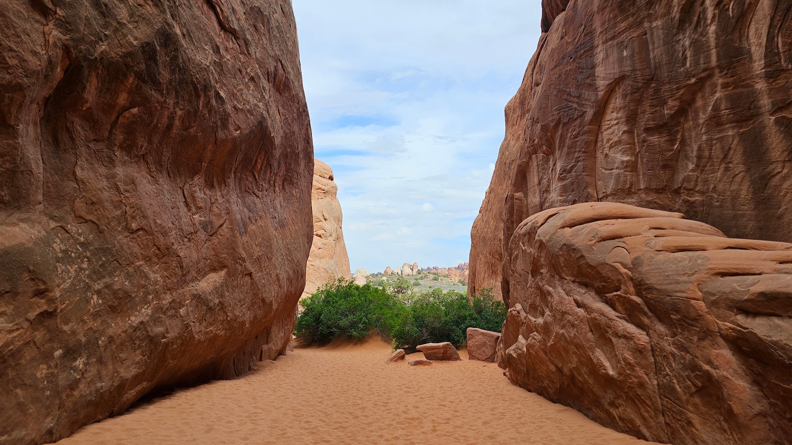 Now let's turn around and get out of here.
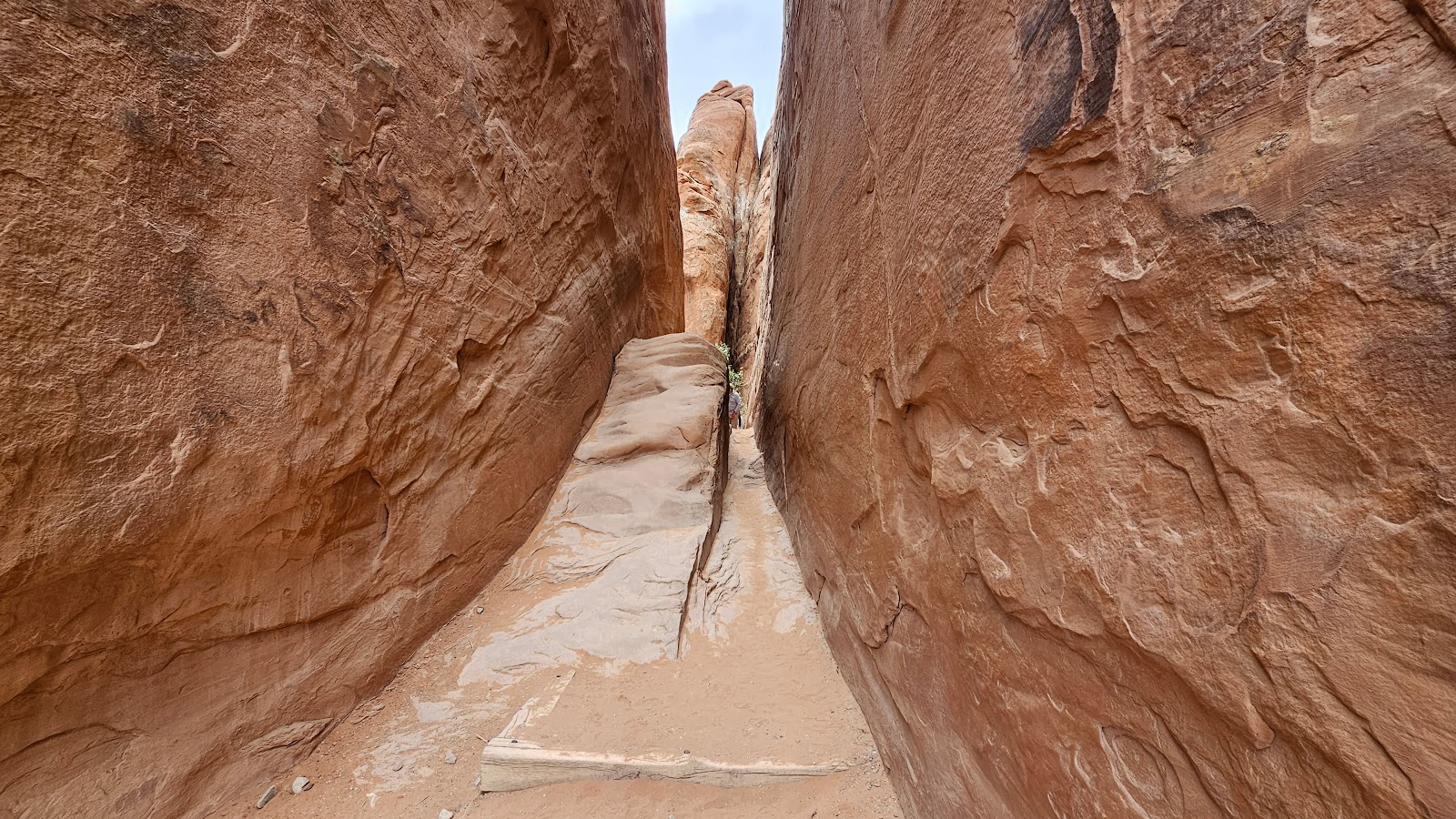 We made it back through the skinny part.
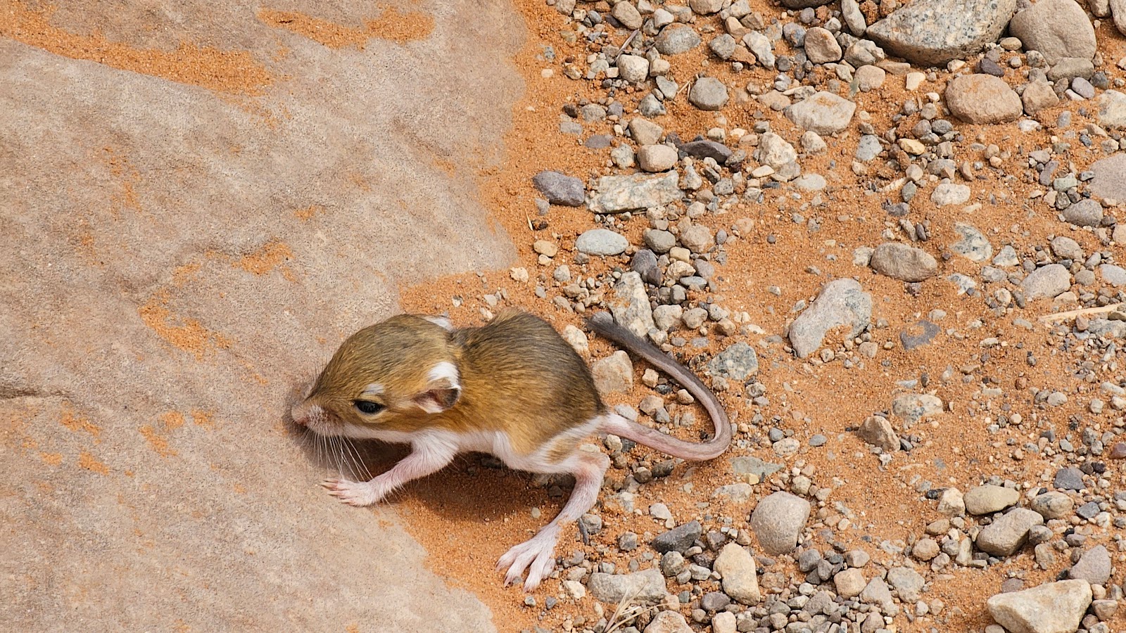 The lost Kangaroo Rat was now on the edge of the trail and still squeaking loudly.
 Someone was kind enough to share a drink of water and the squeaking stopped for a short while.
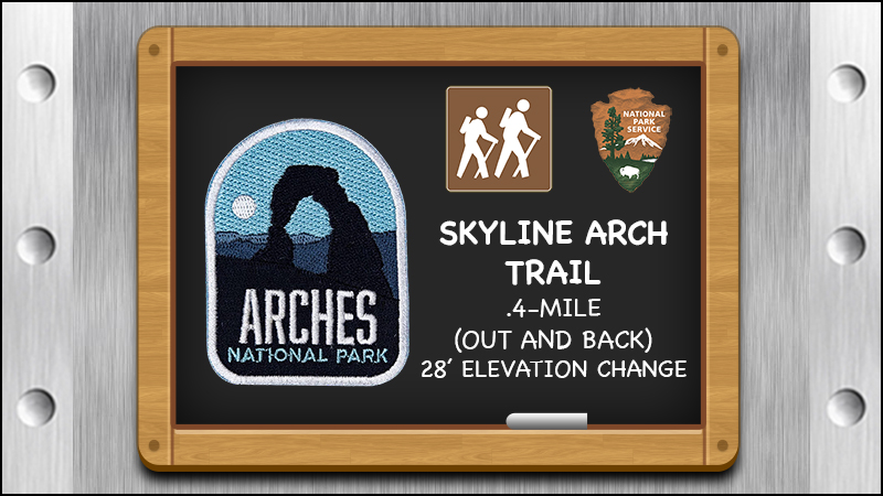
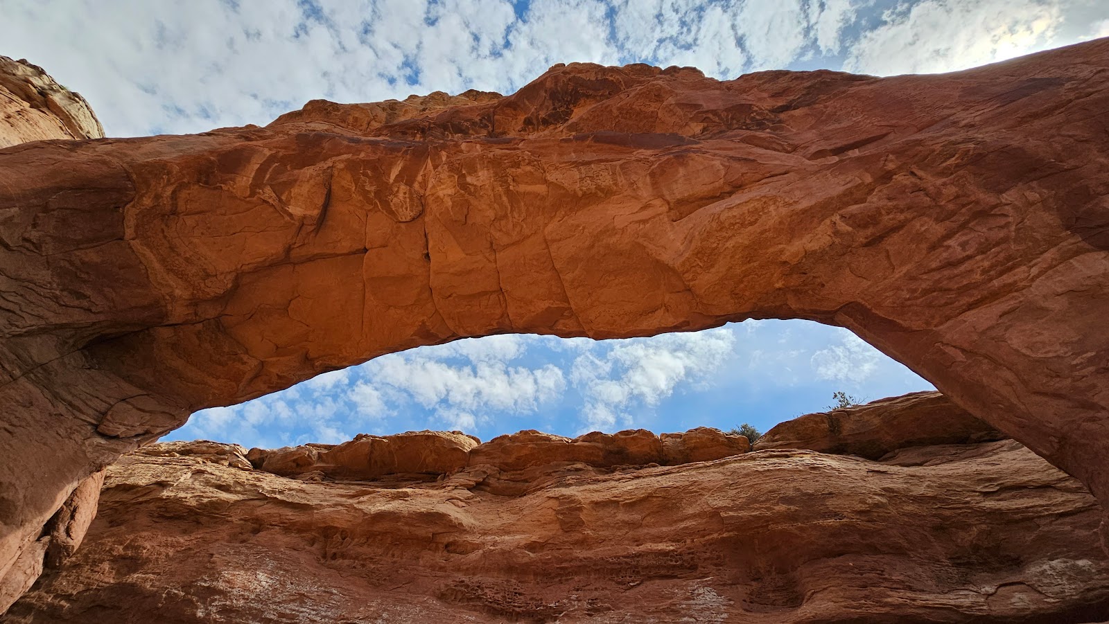
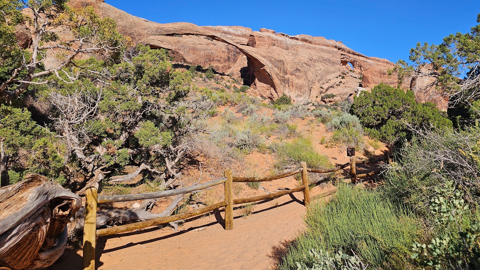
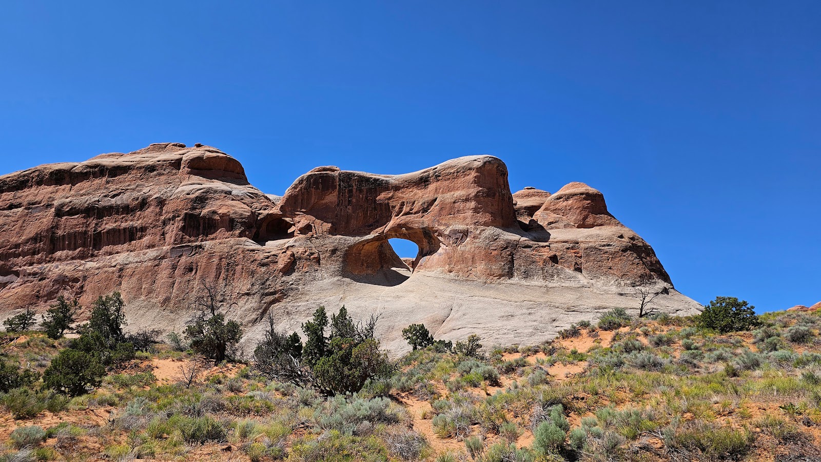
 Skyline Arch is one of the few arches you can see right from the parking lot.
 But if you want to get a closer look you'll have to hike the short trail.
 We're about halfway there now. It easy to see why it's named Skyline Arch.
 The bright blue skies behind it makes it very east to spot.
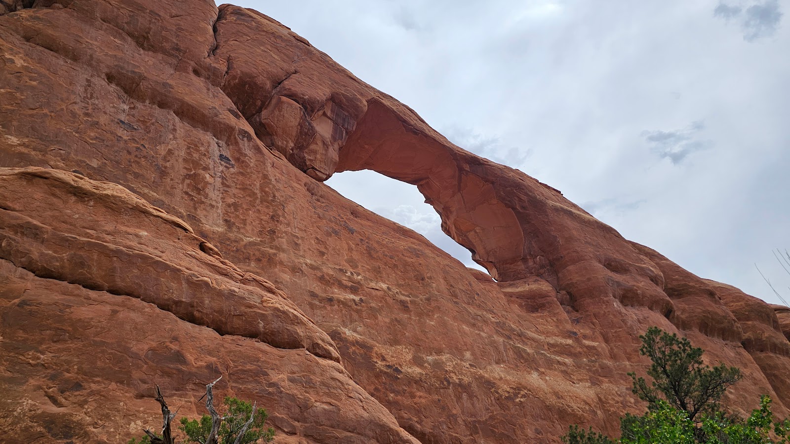 Here we are directly underneath of it.
 This appears to be the end of the trail.
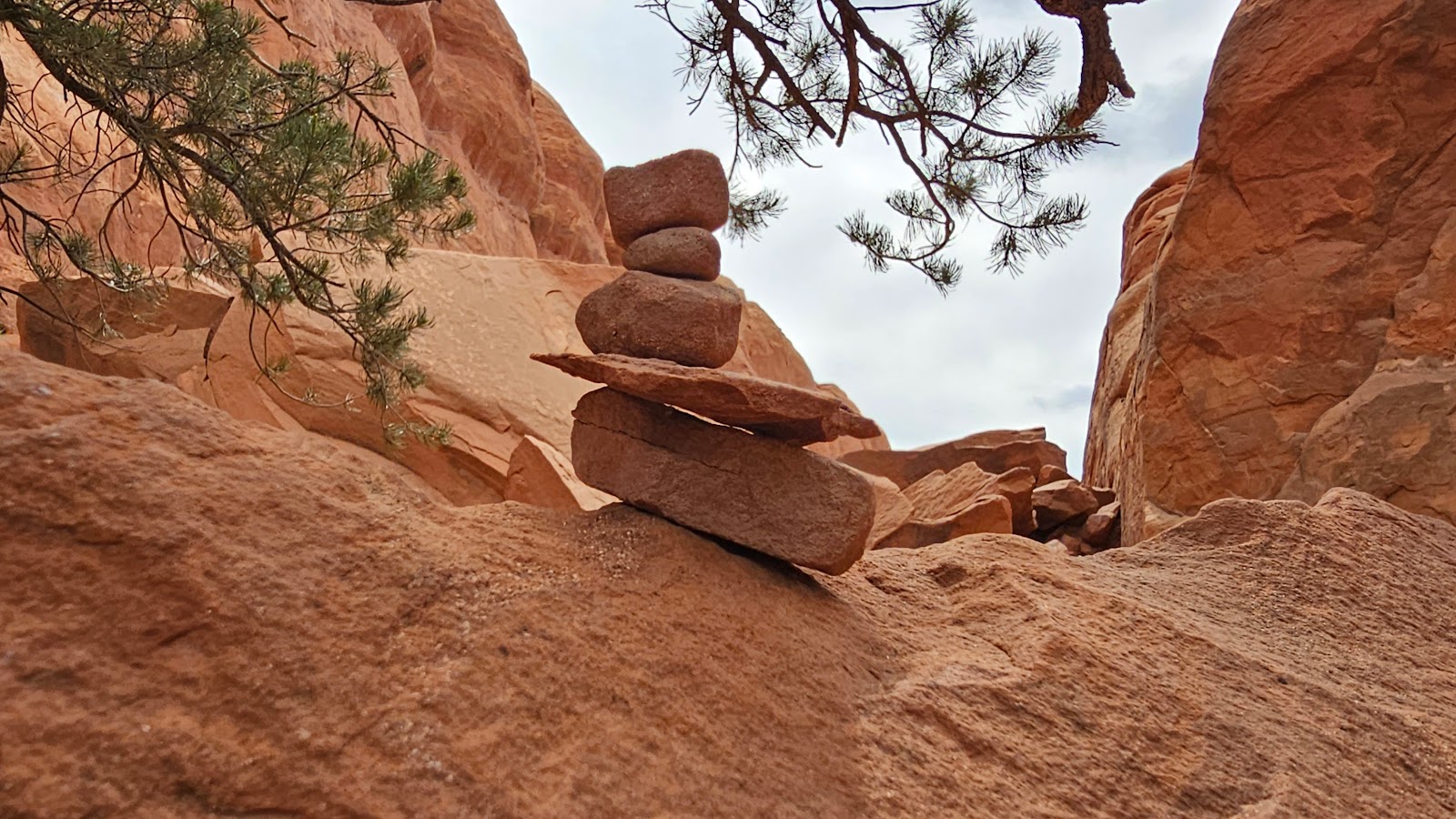 Someone had fun stacking these rocks into a cairn.
 Yep! End of the trail, I don't need a signpost to tell me that.
WEDNESDAY - Today Tricia is going out on a hike while I stay back and work on this blogpost. We had a lot of photos to upload from yesterday and if I fall behind, the post won't be ready to go when we leave here on Monday.
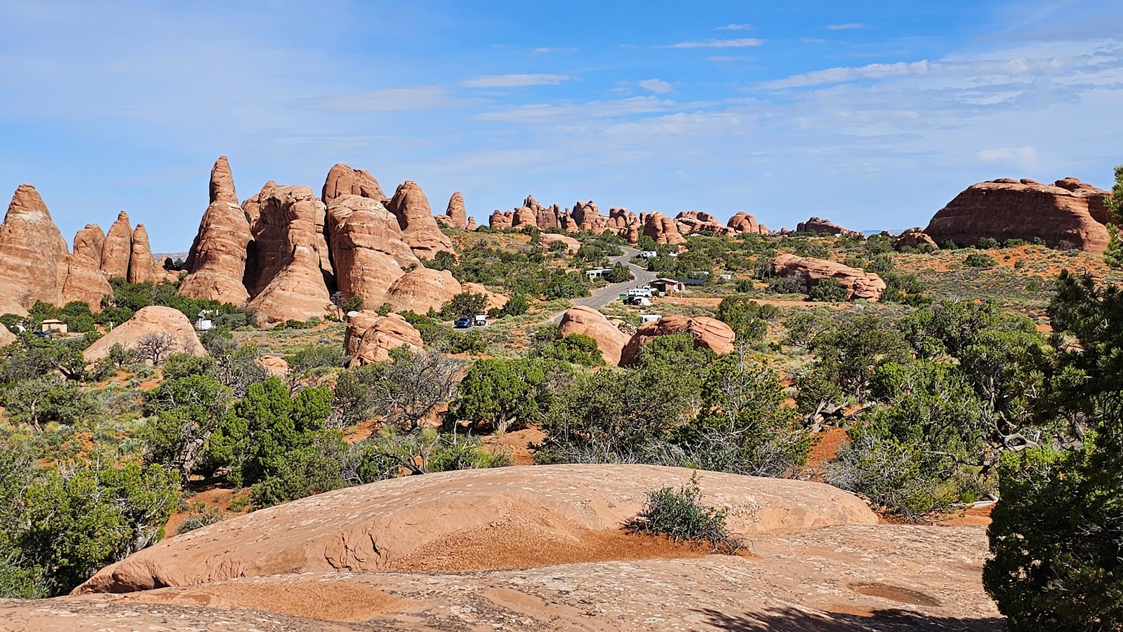
It's a medium distance 2¾-mile hike that features not one, but two arches. The best thing is the trail starts and ends right here in the campground.
BROKEN ARCH AND TAPESTRY ARCH
 Discreetly nestled between Campsites #51 & #52 is the trailhead for today's hike.
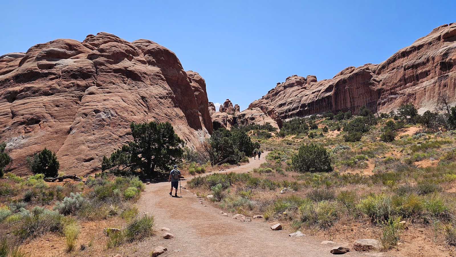
 It didn't take long to put some distance between Tricia and the campground.
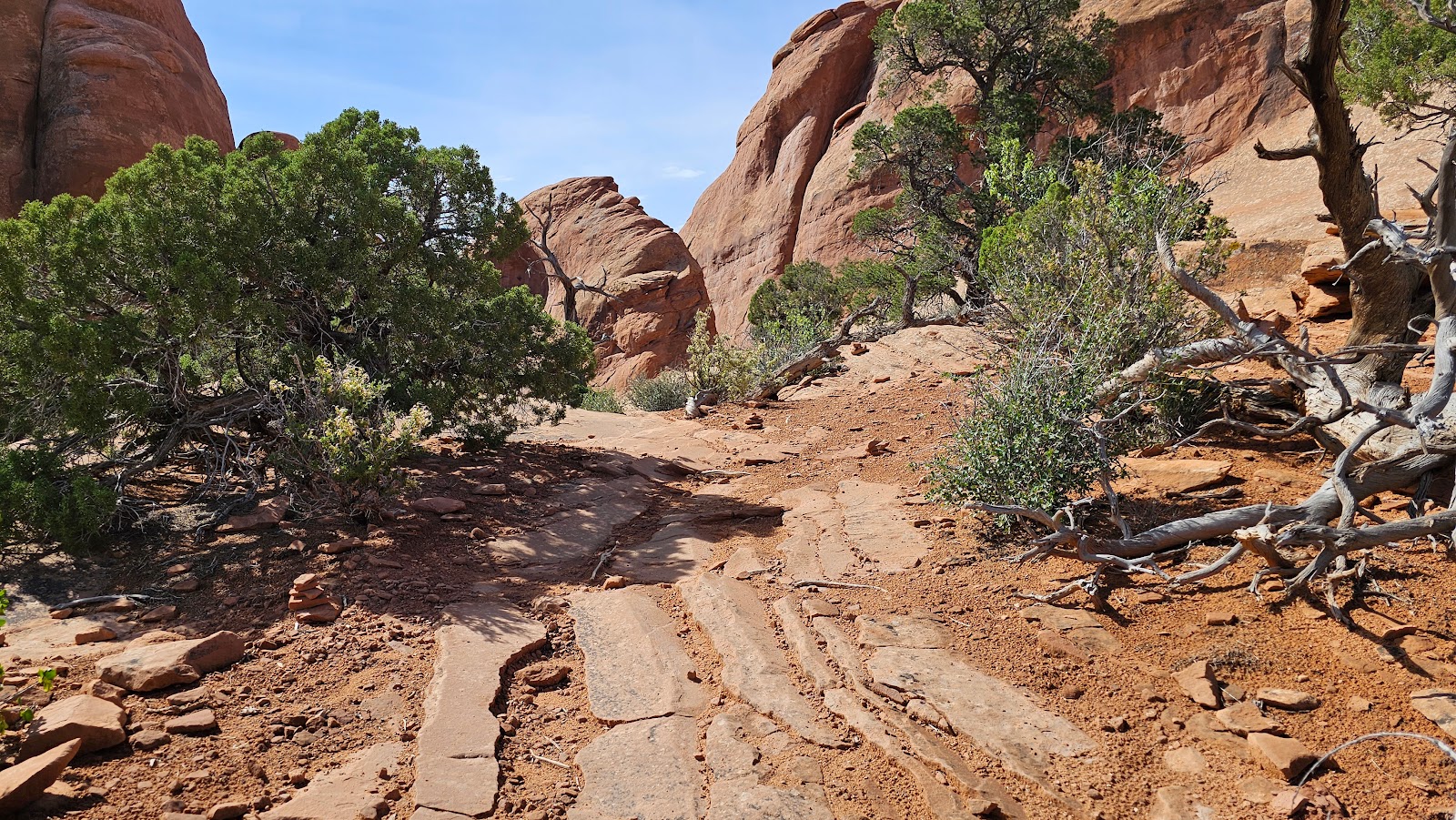 Sometimes it was difficult to discern where the trail was.
 Other times it was fairly obvious which way to go.
 Not much choice on which way to go here.
 Other times the trail was only marked by using small rock cairns.
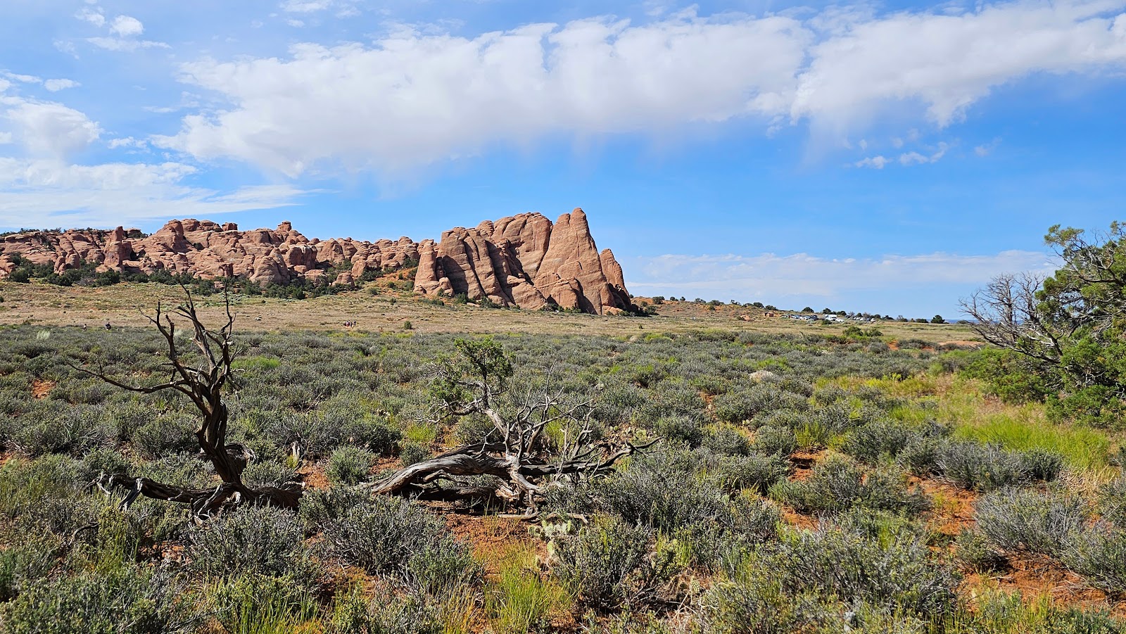 Way over there in the rocks is the Sand Dune Arch that we explored yesterday.
 I'm not sure, but I think there's an arch up ahead.
 Well this is something new. Sounds like it's going to be fun.
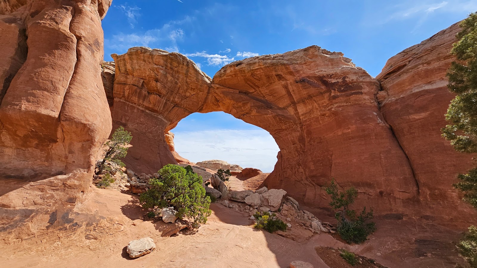 Sure enough the trail going right under and through Broken Arch.
 Once through the arch there is some stunning scenery to be seen...
 ...in every direction you look.
 Even over your shoulder looking back through the arch.
 Let's get moving, there's still one more arch to see today.
 Hey look, there's another Airstream over there! Nevermind, it's just THE POD.
 Don't get too anxious and stay on the trail, no shortcuts!
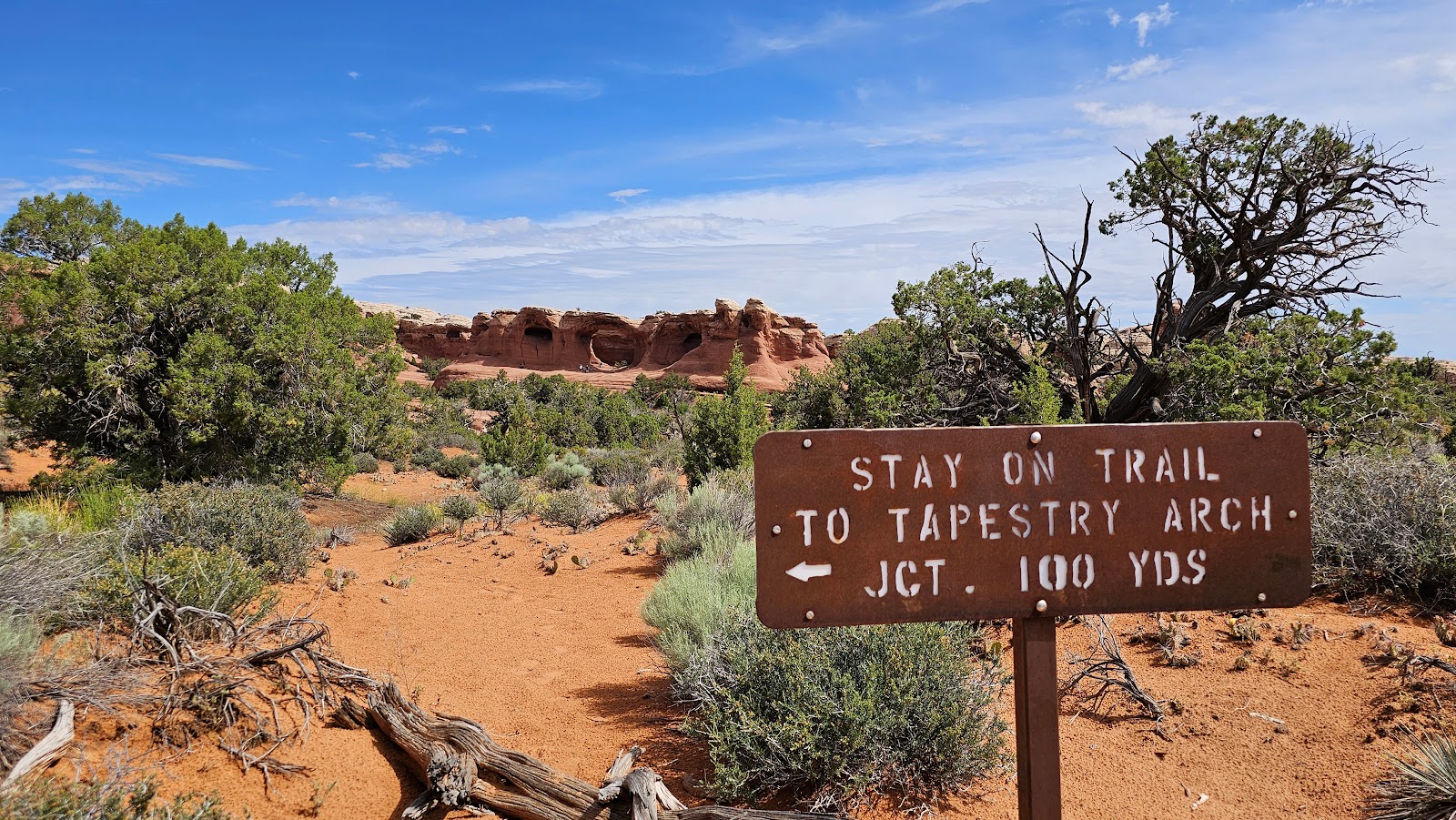
 This looks like the trail junction they were talking about.
 Looks like she won't have this one all to herself.
 I guess if you wait long enough, everybody will eventually leave.
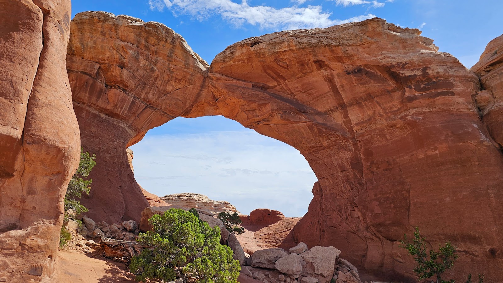
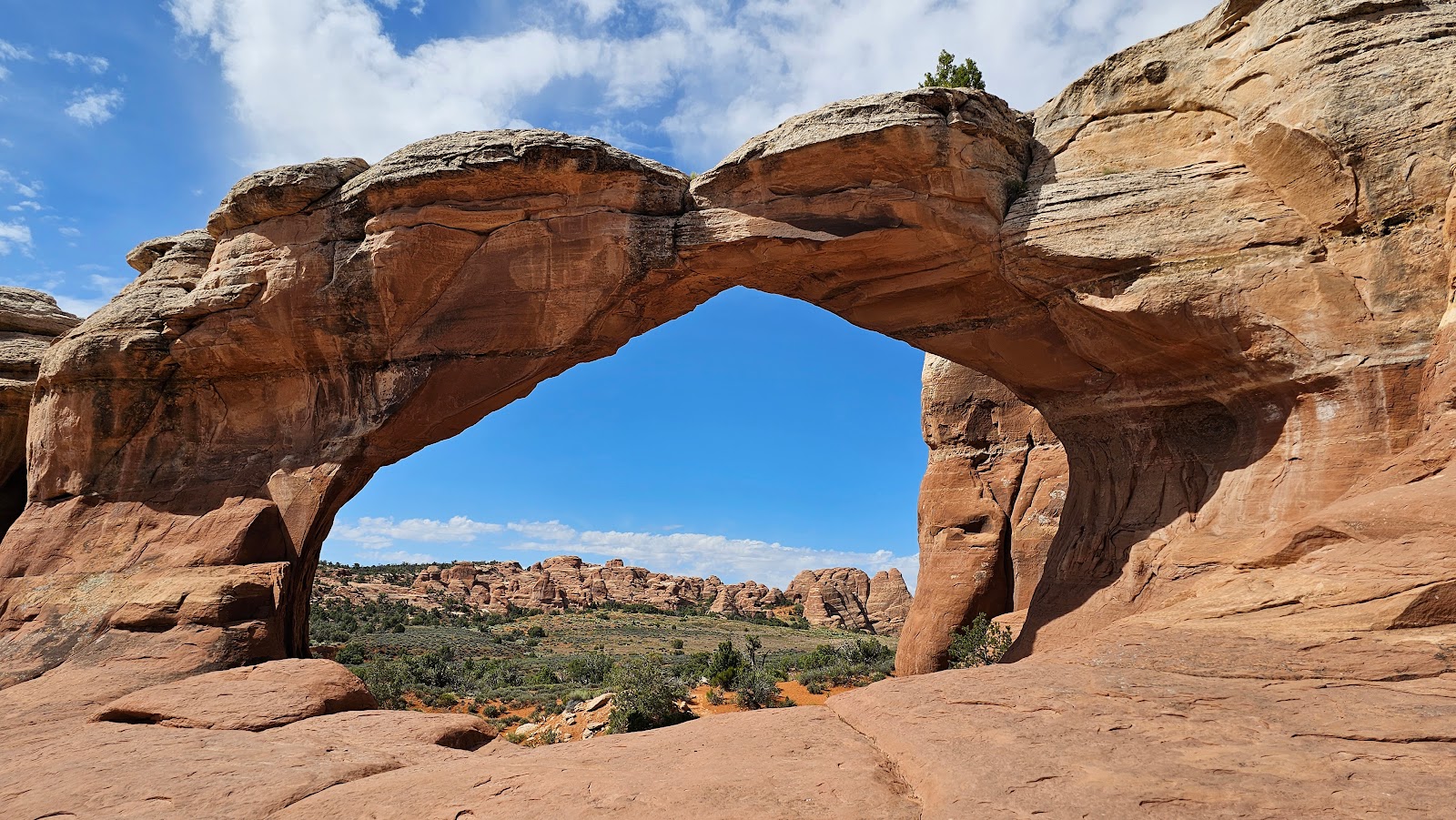
 This is Tapestry Arch.
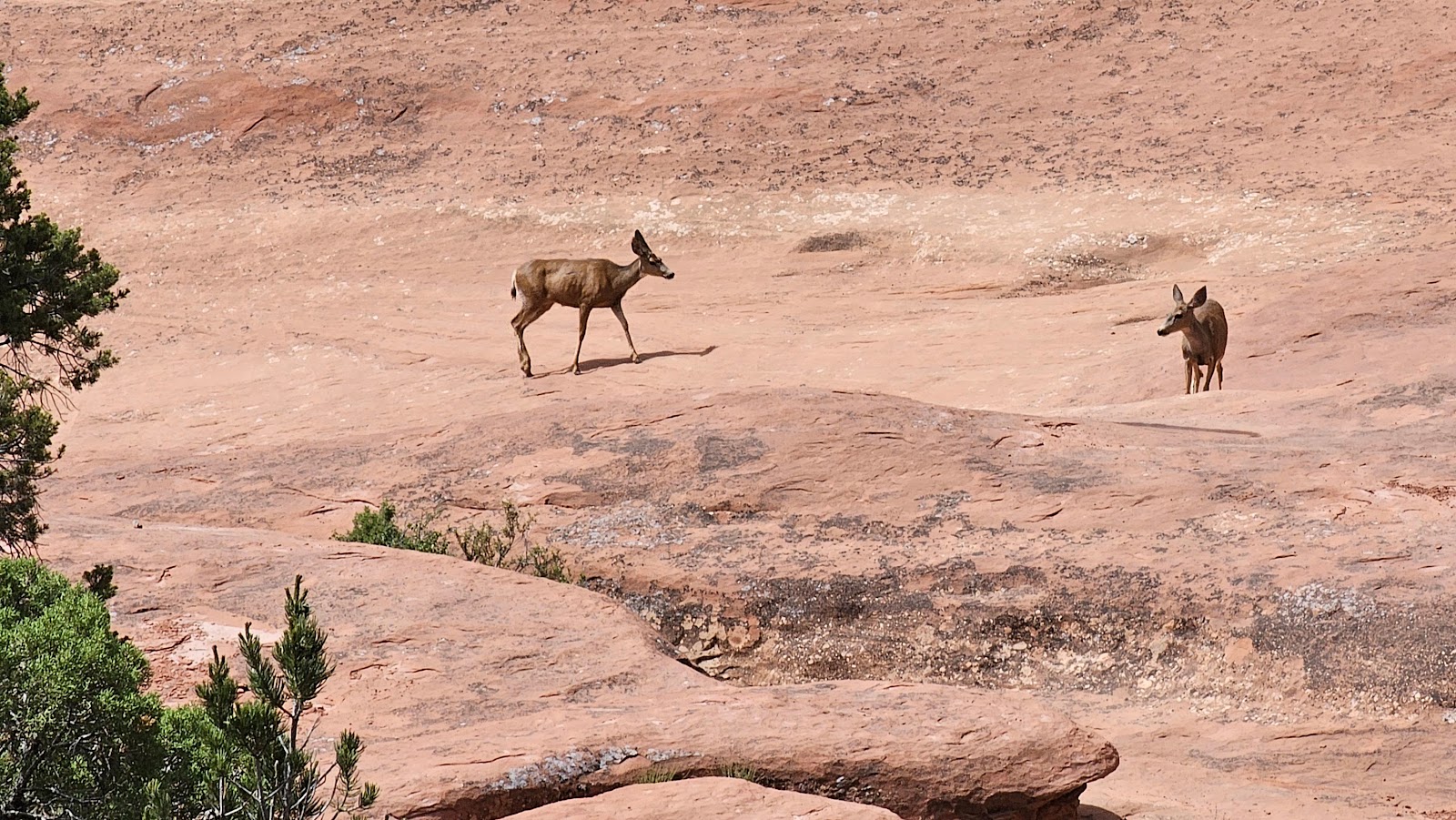 There were also a pair of non-human visitors to the arch this morning.
 Back in the campground now Tricia spied the back side of Skyline Arch.
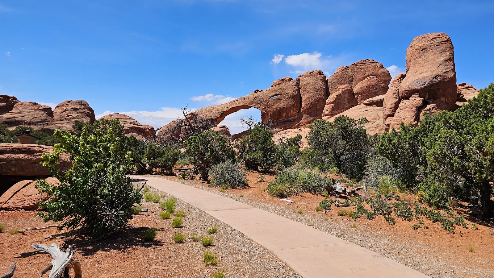 By taking the walkway to the amphitheater you receive a rear view of Skyline Arch.
That explains why we've seen numerous van tour drivers stop here with their passengers.
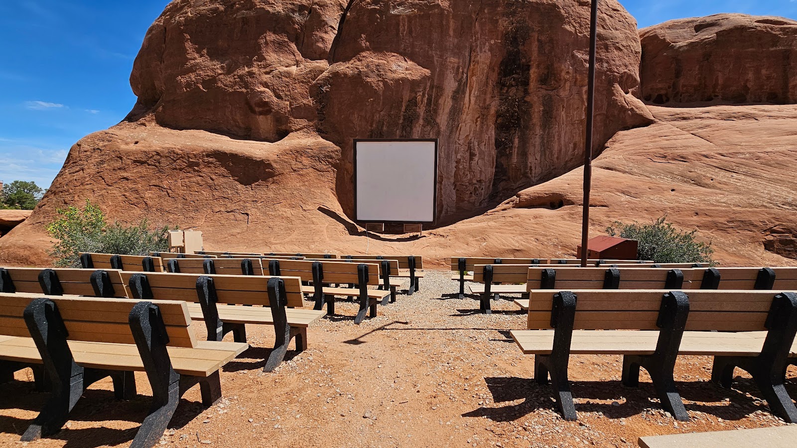 Tommorow night at 9:00PM will attend a Ranger led program here at the amphitheater.
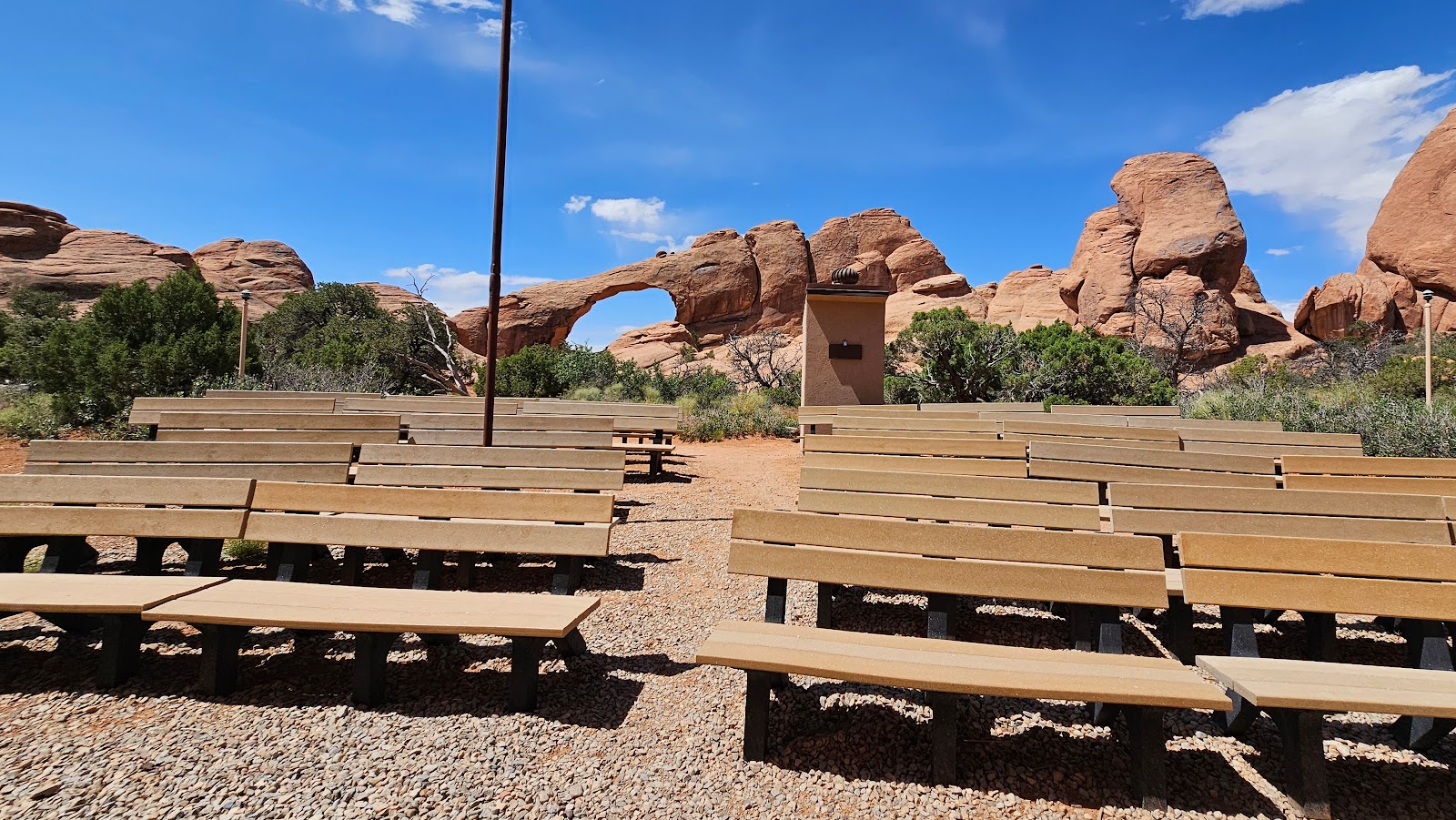 But to see the "real" show you'll need to turn around in your seats...
 ...because that experience can't be recreated on any video screen.
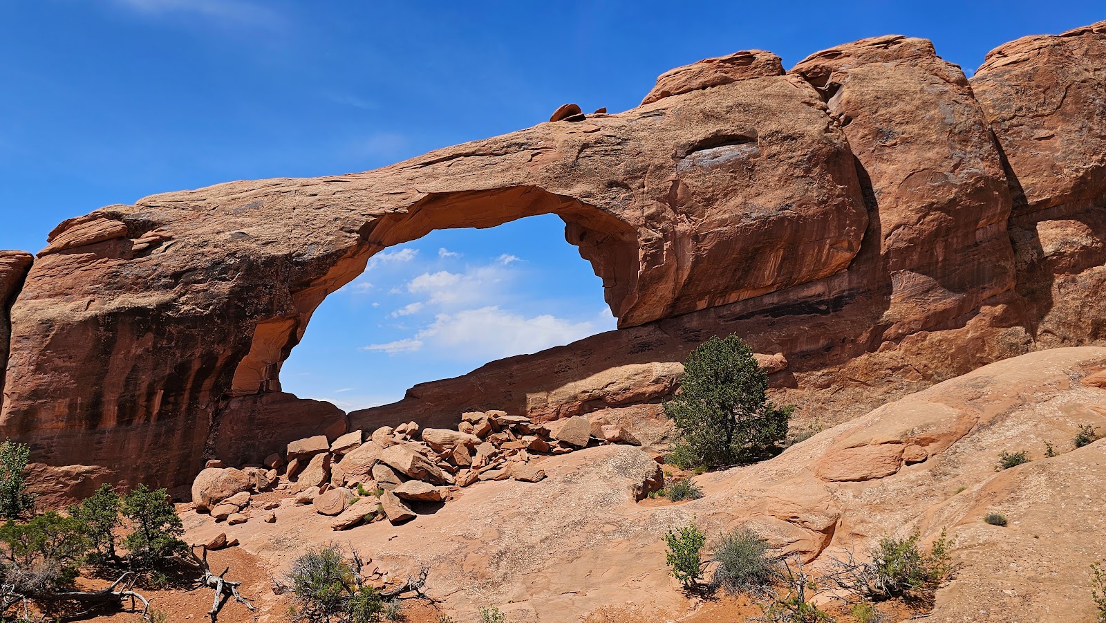
Tomorrow mornng we'll both be back out on the trails and this time we'll be exloring one of the more famous arches in the park. Can you guess which one?
THURSDAY - We left
THE POD at 7:30AM to make the 15-minute drive to our trailhead destination, only to watch the car directly in front of us grab the absolute last parking space in the parking lot. I knew I should have passed them on the roadway when I had the chance.
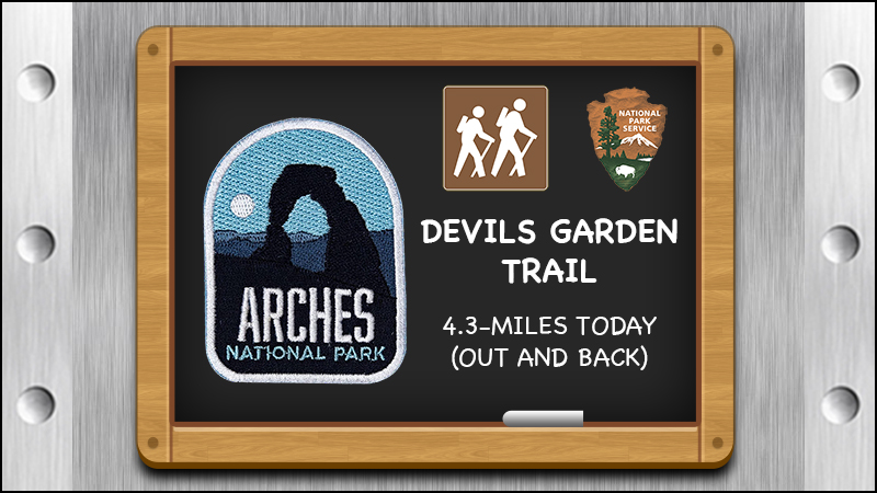
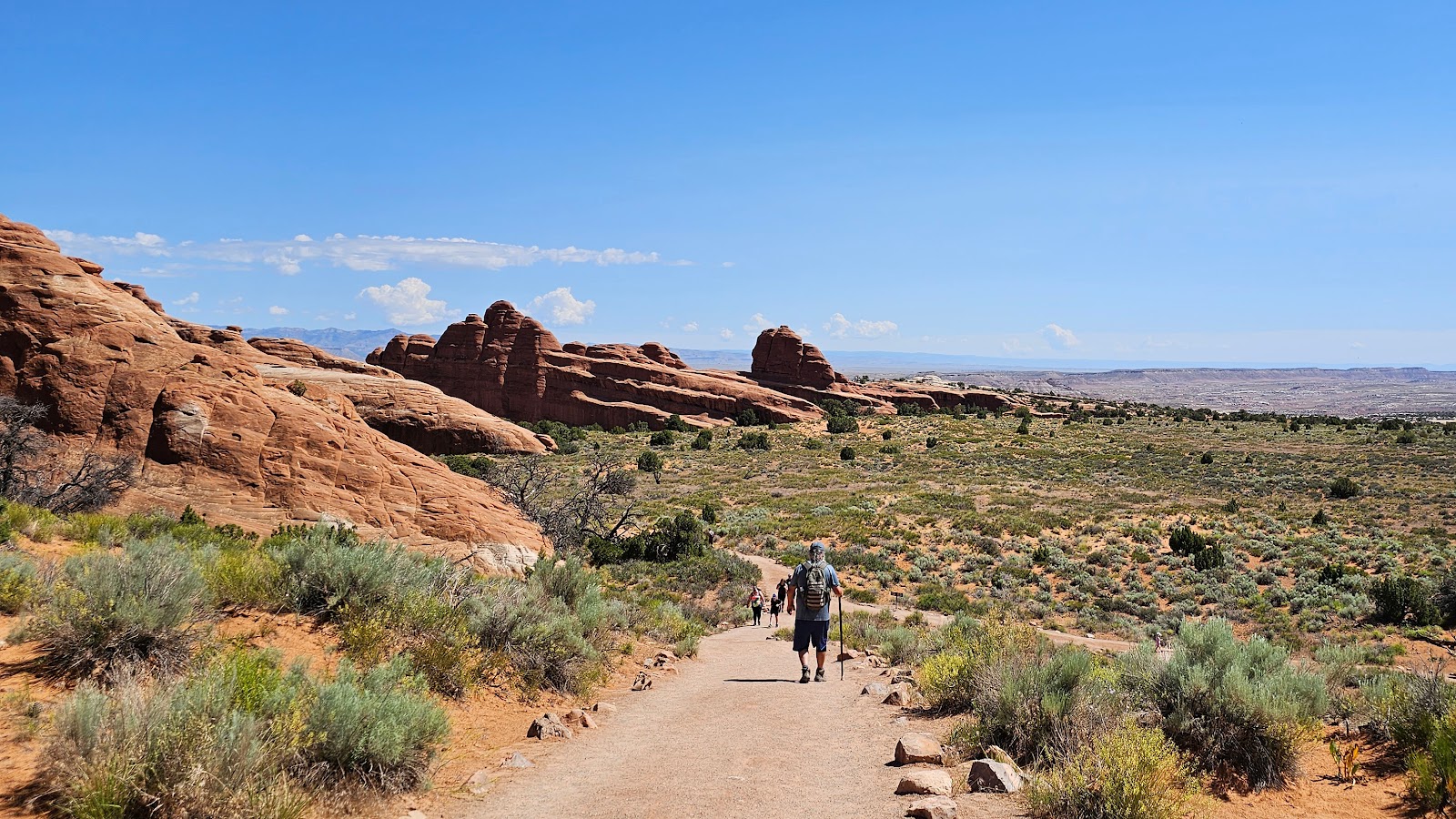
No worries! We have a back up plan. We drove right back to the campground entrance where the trailhead for the second most famous arch in the park is located. We knew there were still a few dozen parking spots left there because we just drove through it.
In this case second most famous is pretty good, considering they have found over 2000 natural arches in the park, the largest and most dense collection on the planet.
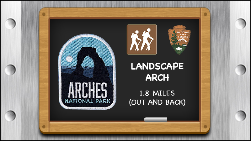
It's a fact that Landscape Arch is the 5th longest arch in the world. Also a fact, is that we won't be visiting any of the Top 4 Longest Aches because they are all located in one place, that would be China.
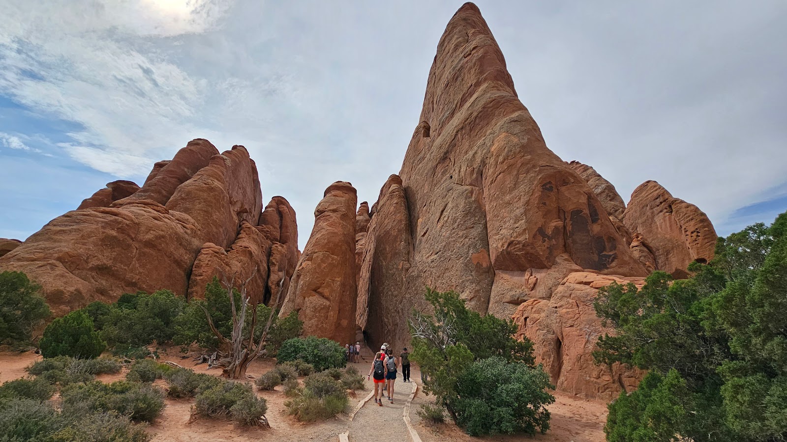
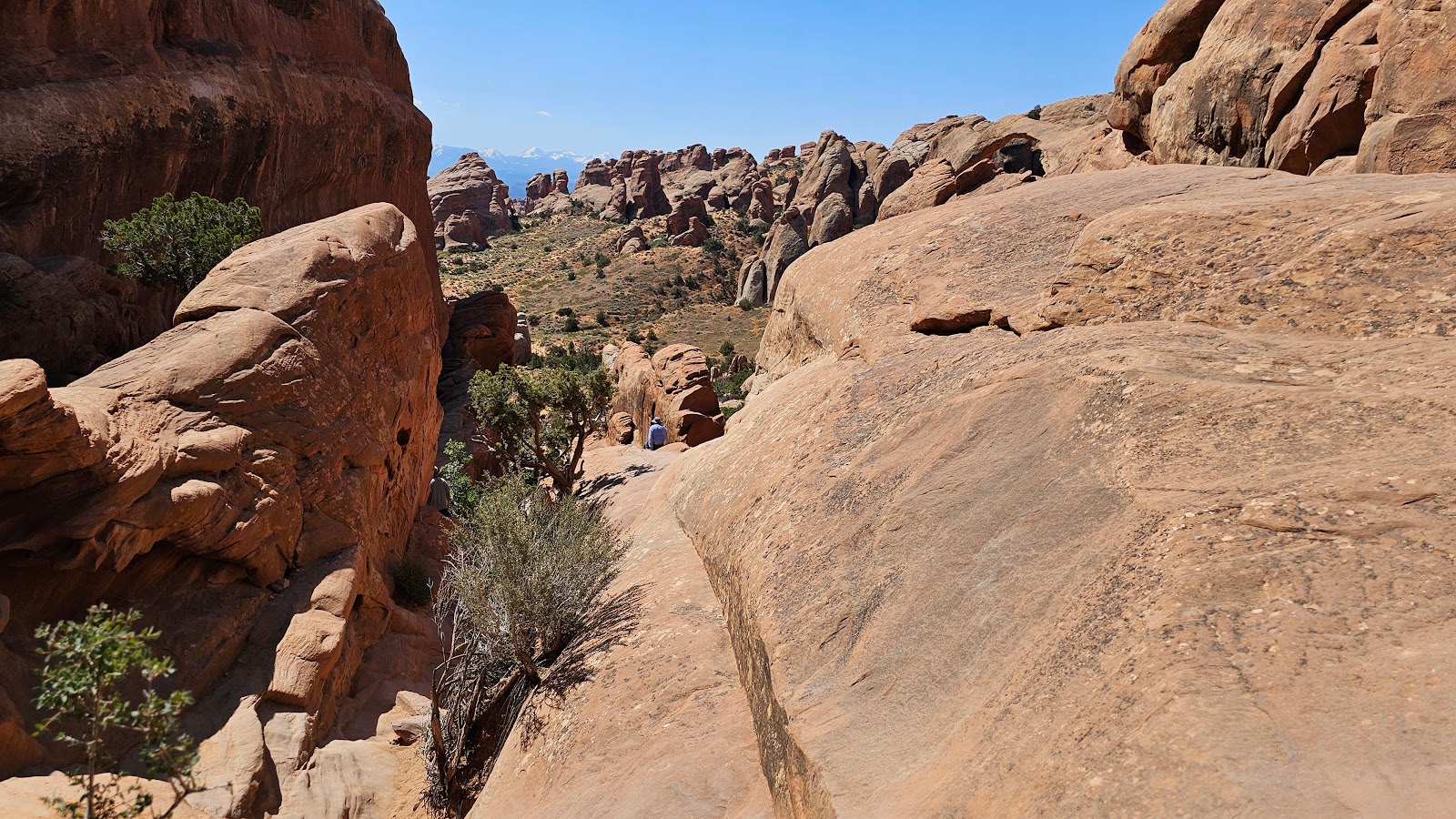
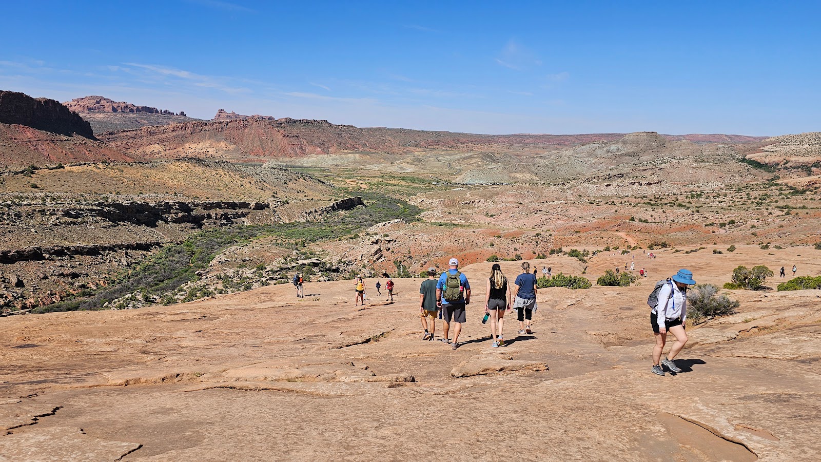
The Devils Garden Trail has a total of eight arches along it's route. We are only going to be visiting five of them today, but Landscape Arch will be up first. Why save the best for last!
DEVILS GARDEN TRAIL
 The trail started off easy enough on level ground and in the shade...
 ...but then we were climbing a hill and out in the sun.
 I wonder if that was wind or water that carved on that section of the cliff.
 Thankfully we spot a shaded section of the trail coming up ahead...
 ...but there's still a lot more sunny sections to get through.
 Just keep puttng one foot in front of the other Phil.
 There it is off in the distance, the 290' wide landscape Arch.
 The closer we get, the bigger it looks!
 There's a short side trail that gets you even closer than the main trail does.
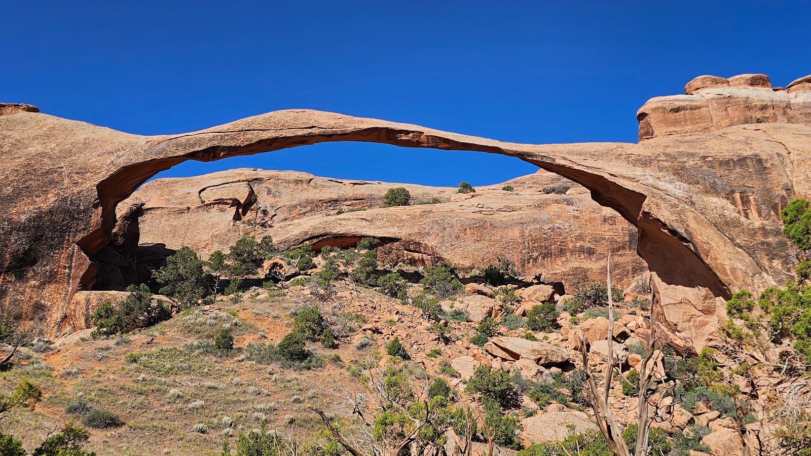 Estimates have that skinny section is the middle at only 6' thick.
 From Landscape Arch you can see our next destination high up above.
 One last look.
 All right, maybe just one more.
 We started off heading towards Navajo Arch...
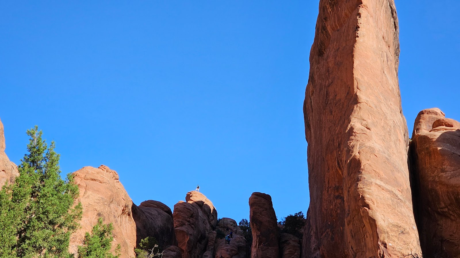 ...when we spotted this guy way up on the rocks.
 He wasn't just showing off, that is actually part of the trail to Navajo Arch.
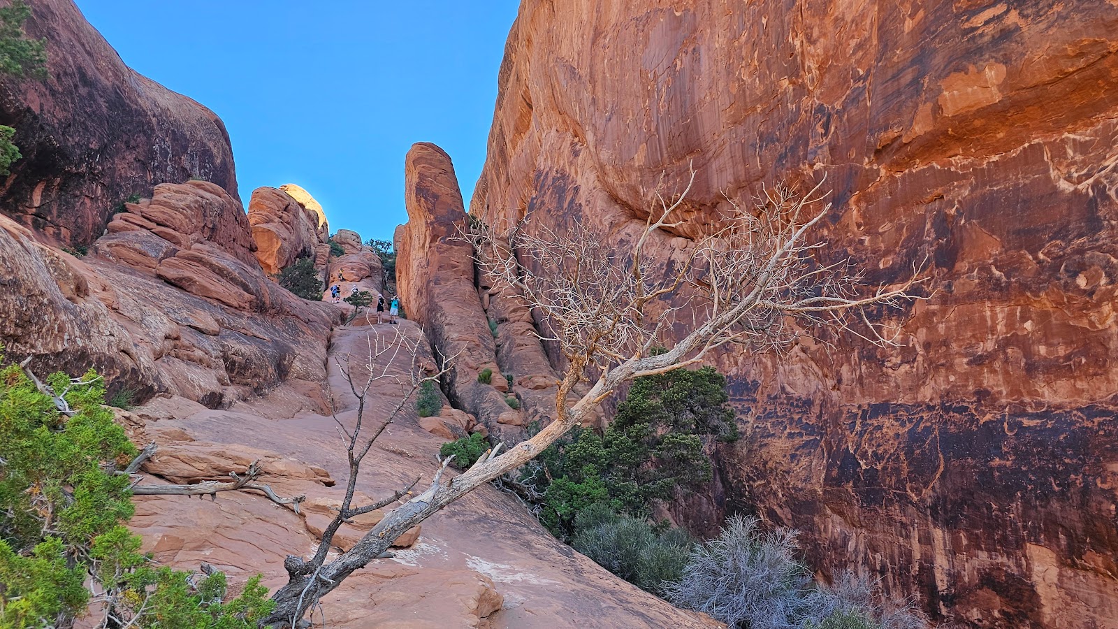
 See this uphill climb ahead of us I decided to take a knee and wait it out until Tricia returned.
 Tricia looking back down from near the top.
 Can you see me down at the bottom waiting?
 How about now? Gotta love that new zoom lens on Tricia's phone.
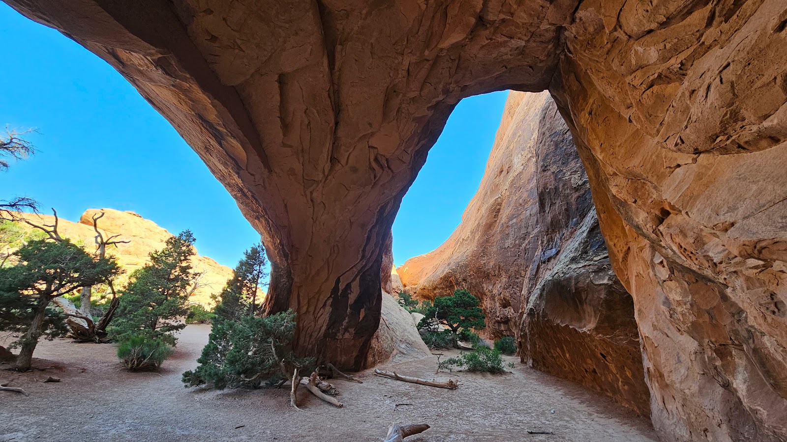
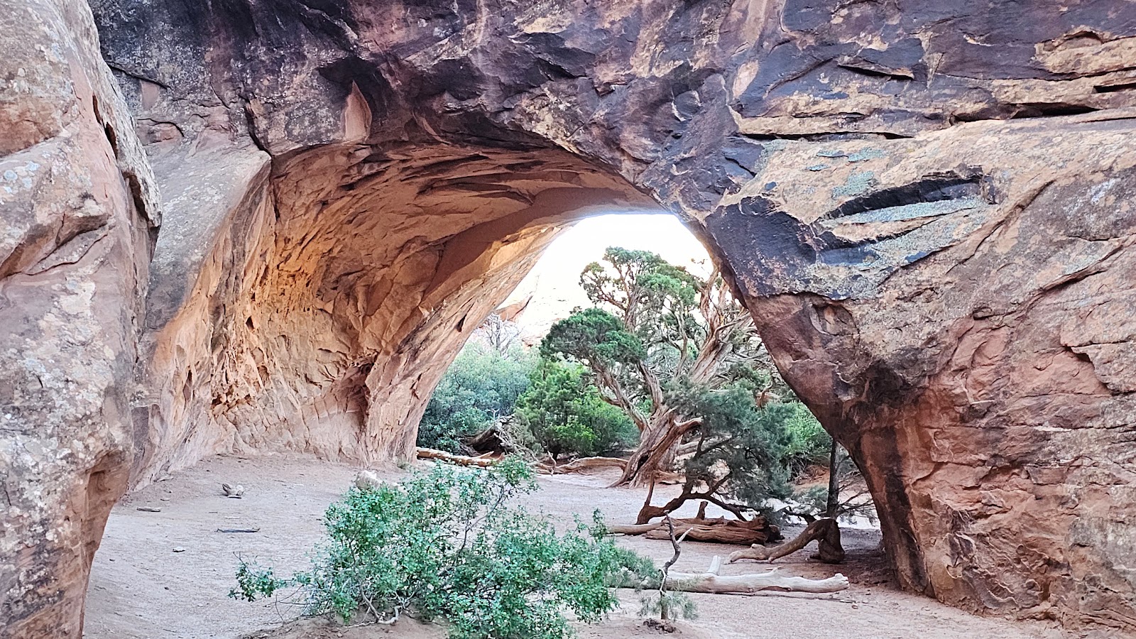
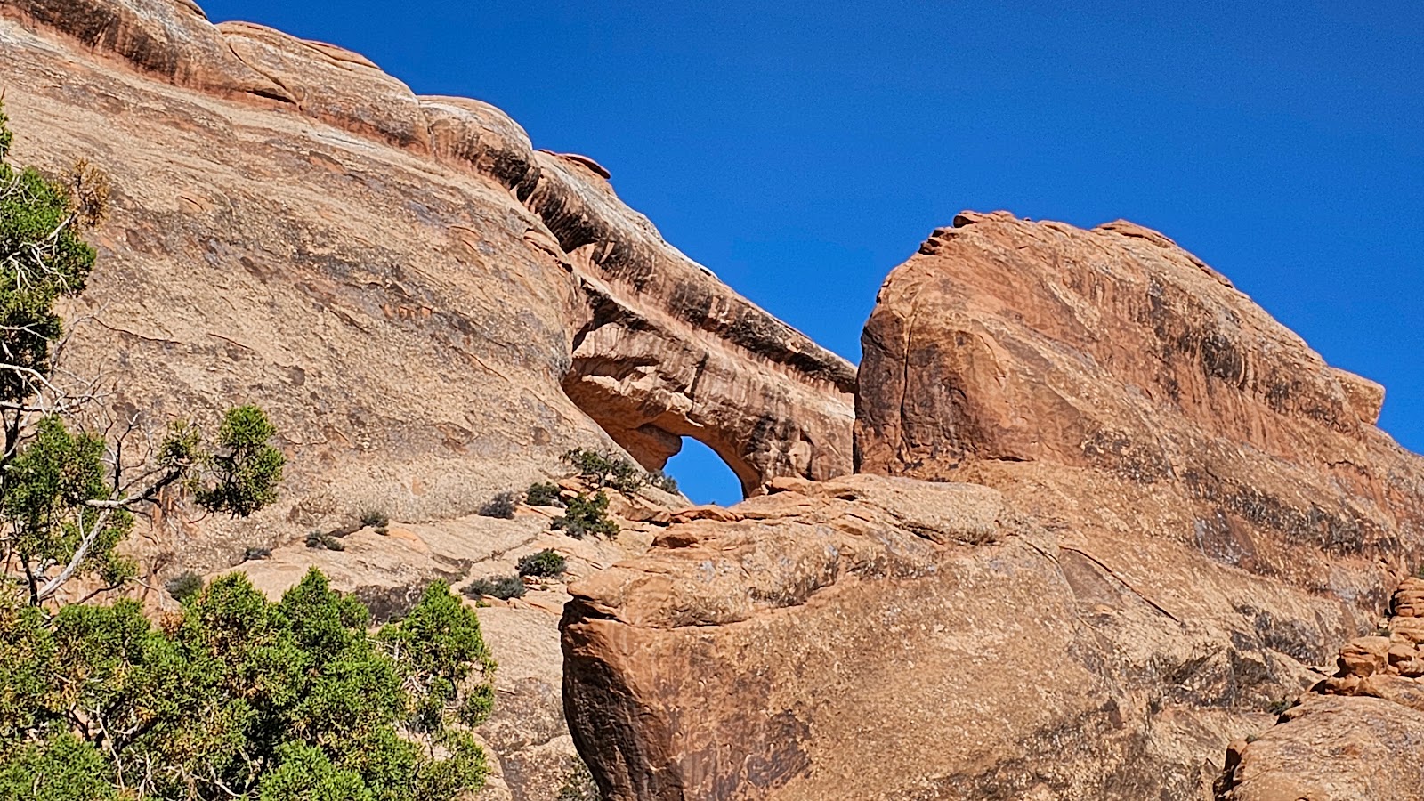
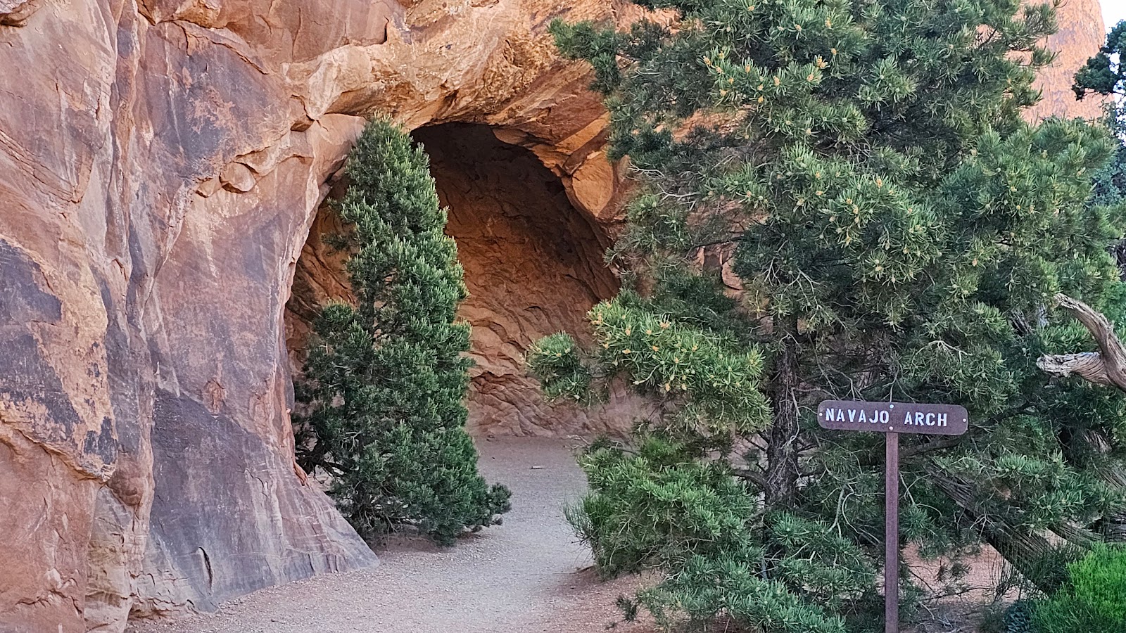 When approaching Navajo Arch it's hard to see it until you round the corner.
 Not quite as wide or tall as Landscape Arch, but still impressive.
 It's actually another double arch.
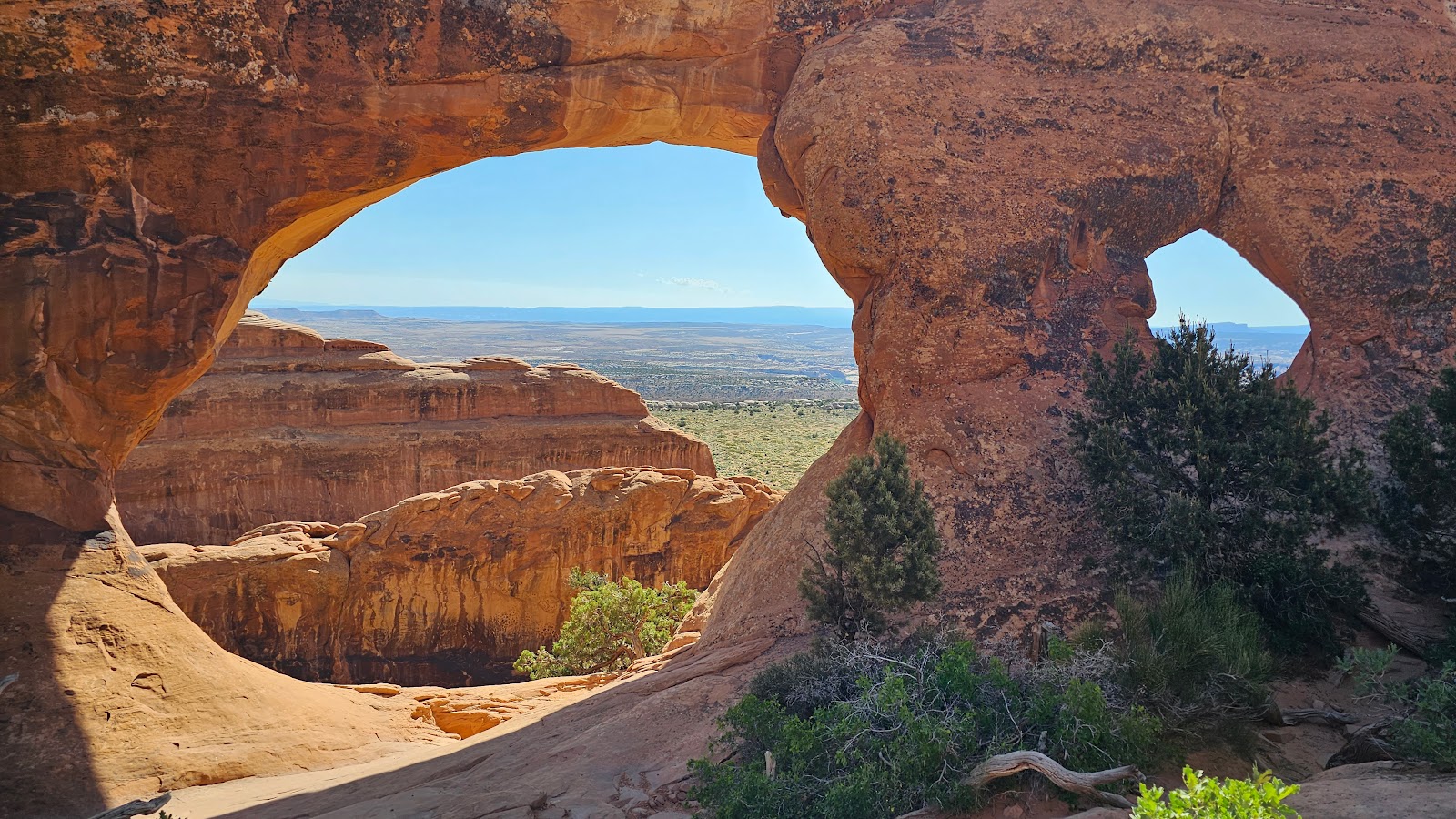
 Somewhere down the long rock face is supposed to be Partition Arch.
 Now it's coming into view.
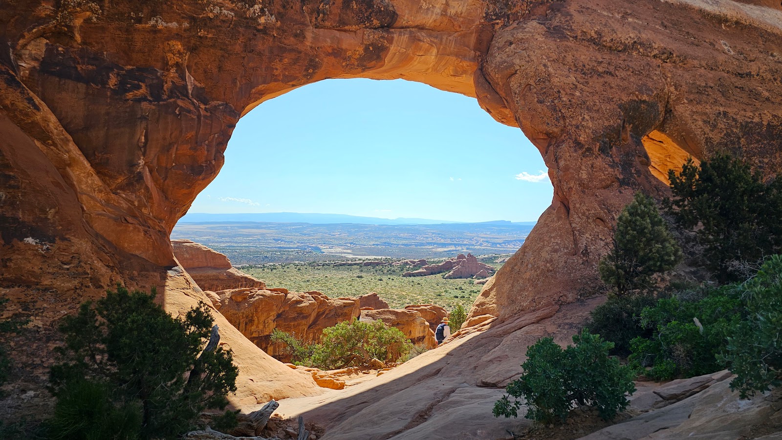 There we go, what a view!
 These two people in the bottom of the photo...
 ...were kind enough to take this photo of Tricia in the arch.
 There's even a small window next to the arch. It's probably what we saw from down below.
 Now it's time to head back down that narrow section.
 It's not always easier going down as it is going up.
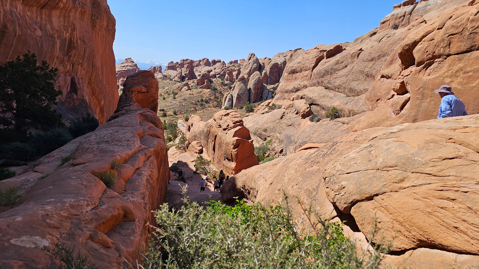
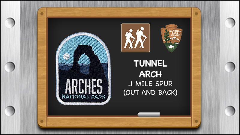
 A short spur trail leads to two bonus arches along the trail.
 As most trails here seem to do, first it's down, only to have to climb back up again.
 Here's a photo as the arch comes into view.
 The sign says the trail ends here, but that doesn't seem to stop anyone.
 This one is a lot thicker than the 6' wide Landscape Arch.
 Guess that's why they allow you to sit under this one in the shade.
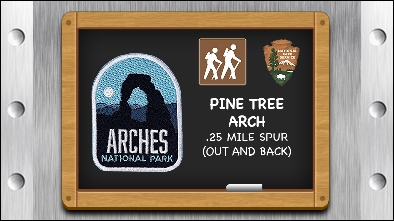
 The last arch for the day is just a short detour from the trail.
 This one is so thick they rightfully call it Tunnel Arch.
 No trail leads up into the arch...
 ...so we'll just have to enjoy it from right here.
FRIDAY - This morning we're off to a late start (8:15AM) to join in on a 9:00AM Ranger led walk in the Windows Section of the park.
We arrived at 8:50AM to find plenty of parking in the lot, but no Ranger was to be found. At 9:00AM we took off on our own because it was starting to get hot outside.
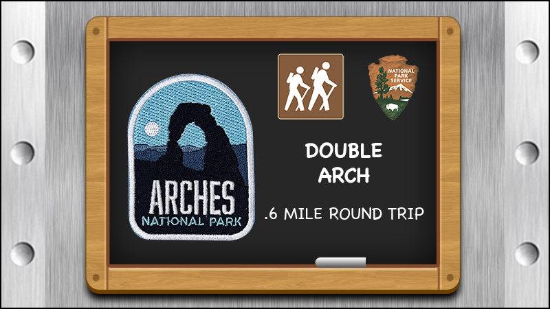
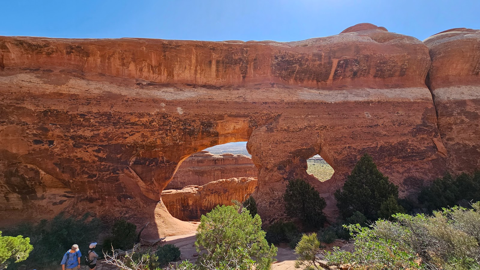
First we'll visiting Double Arch and then on to Turret Arch and the South and North Windows.
THE WINDOWS SECTION
 This is my kind of trail, short and level.
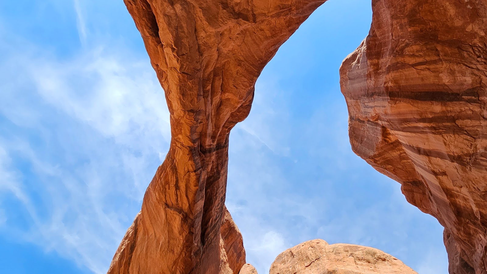
 The Double Arch can be seen from the parking lot,
but the double part is hard to see until you get up closer.
 Now you can see the second arch behind the first one.
 With that little gap showing it could almost be considered a triple arch.
 From this angle you can see just how much distance there is between the arches.
 Another arch that looks to be a little bit fragile, hope it doesn't fall in the next few minutes.
 At the top of the rock pile you can see through the second arch.
 This was another easy hike, but I decided to sit it out.
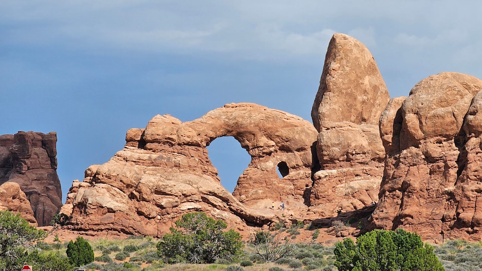
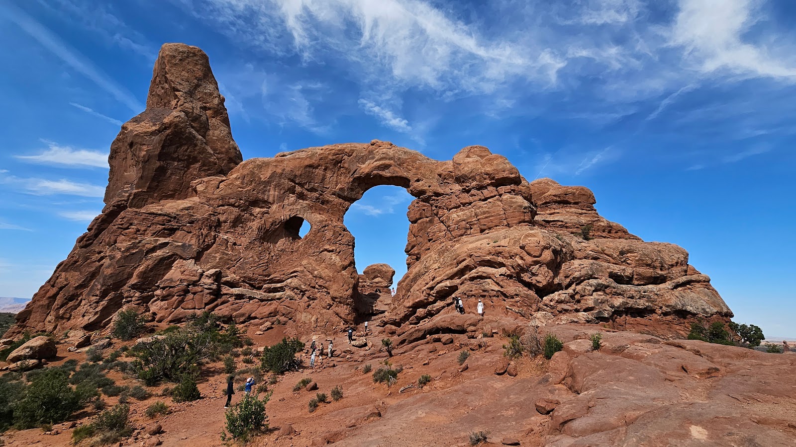
 I'm not sure why this one is called Turret Arch?
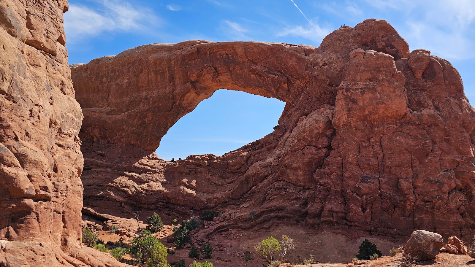
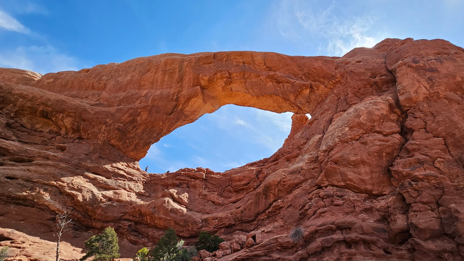
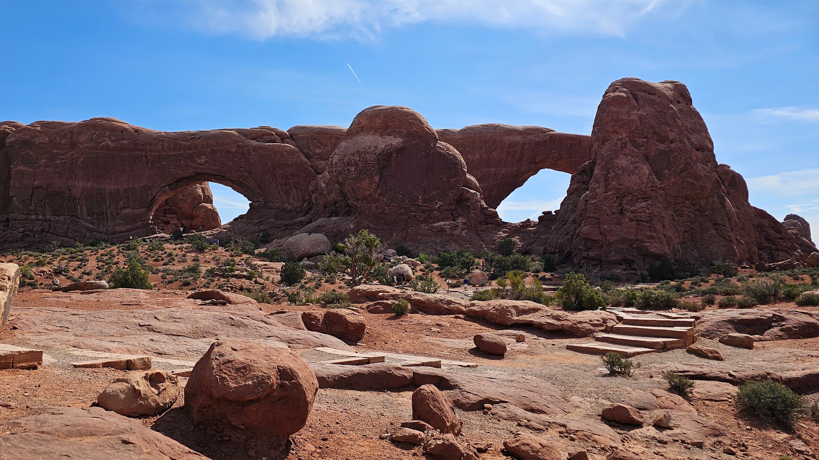 But these are the North and South Windows.
 To visit the South Window you'll have to do some off trial climbing.
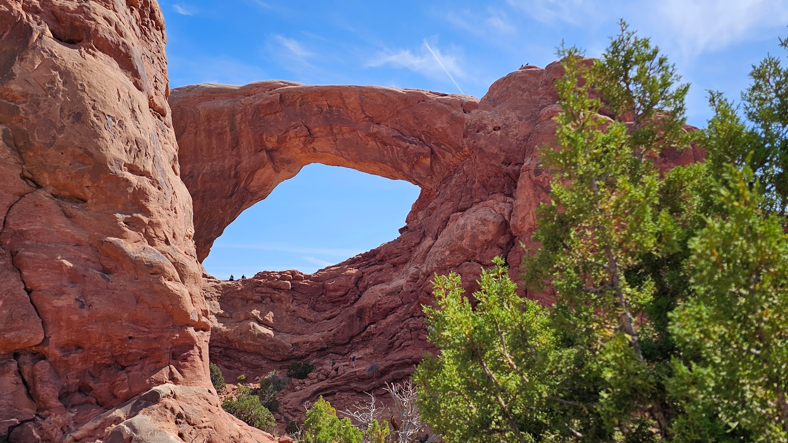
 But the North Window is more at ground level.
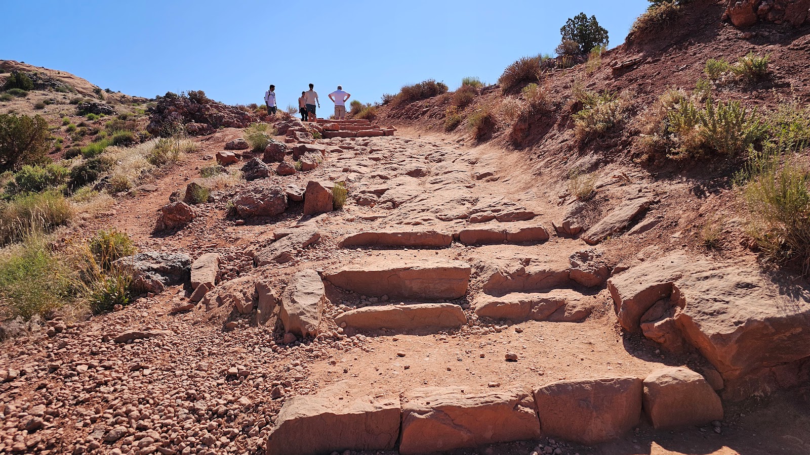
SATURDAY - We set an alarm to wake us at 6:00AM and by 6:30AM we were driving to our hiking trailhead, the same one we tried to do on Thursday, only to arrive at a full parking lot at 7:45AM.
Today we were there at 6:45AM and found the lot to be at least ¾-full. We learned later that on the weekends the locals come out to watch the sunrise at the arch, explaining why the parking lot was nearly full so early in the morning.
We were all set to hit the trail before 7:00AM, only to find out that Tricia failed to charge her new phone last night. So we spent the next 30-minutes trying to fast charge her phone in the truck. When the phone reached 28% charged we decided to go with it, because it was getting hotter by the minute and the temperature was already nearing 70°F.
Tricia plan was to take only a few photos on the way up and save the battery for the arch photos and the return trip. As it turned out that probably wasn't necessary, because at the end of the hike her battery was still at 16%.
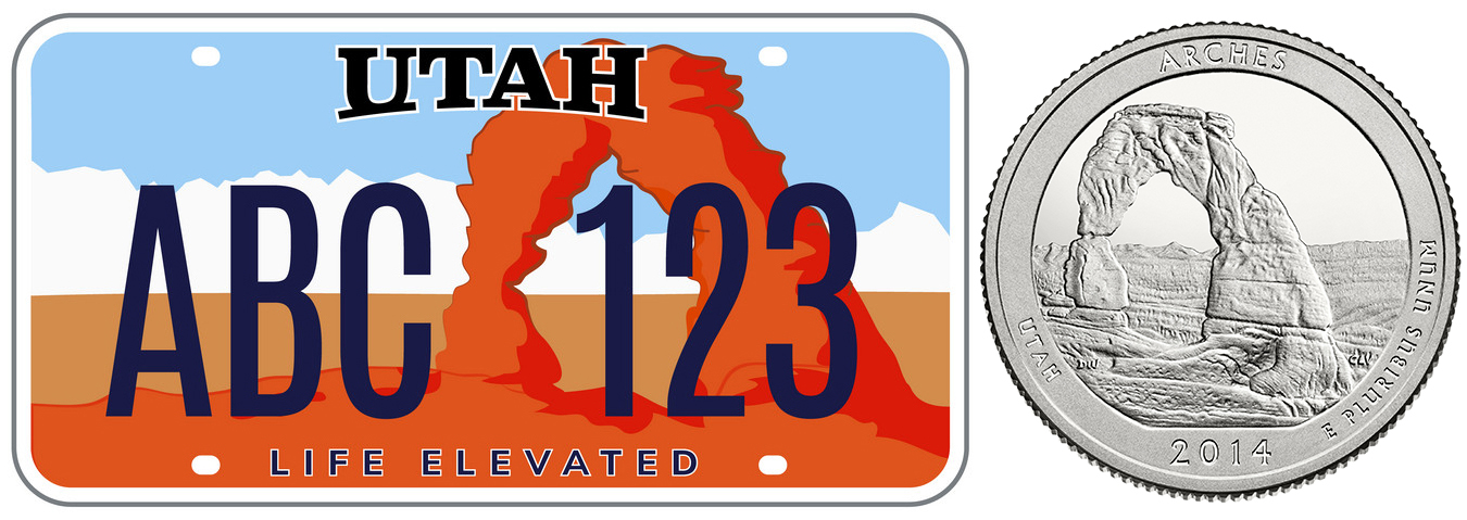
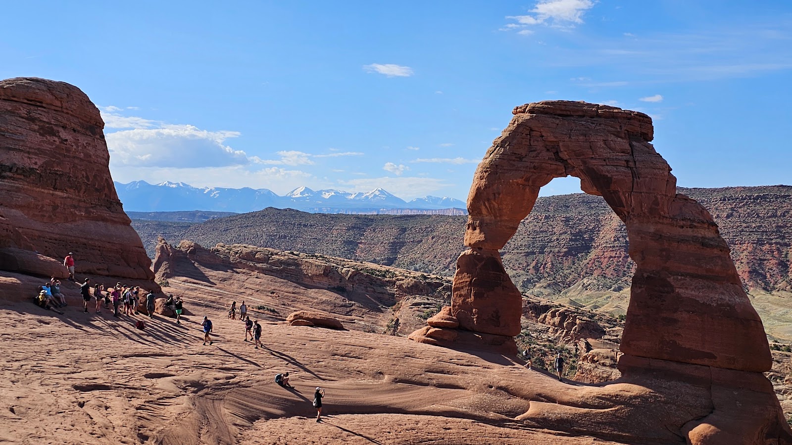
This arch is so iconic here in Utah it has been displayed on the state's autombile license tags since 1992 and the back side of the state's America the Beautiful quarter in 2014.
Has anyone guessed the name of this arch yet?
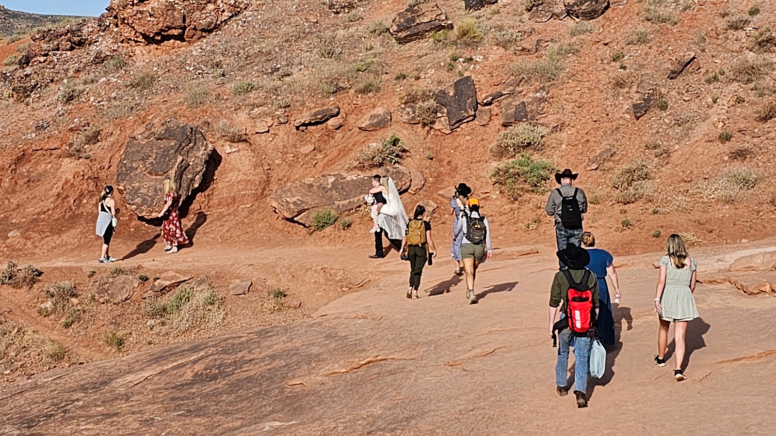 Looks like there was a wedding ceremony up at the arch this morning.
I wonder, will this 1-mile piggy-back ride back to the car
exempt him from also carrying her over the threshold tonight?
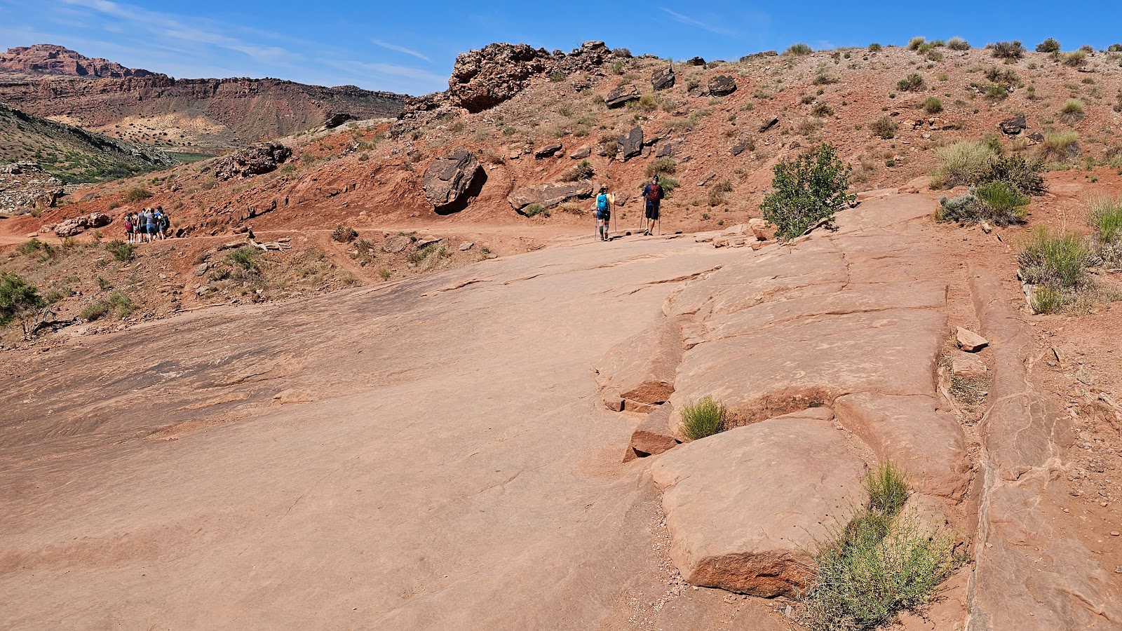
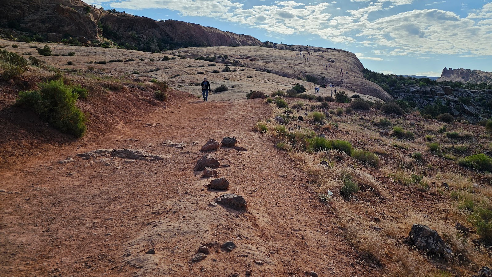 My knee told me to stop here when I saw this half mile climb up the slickrock.
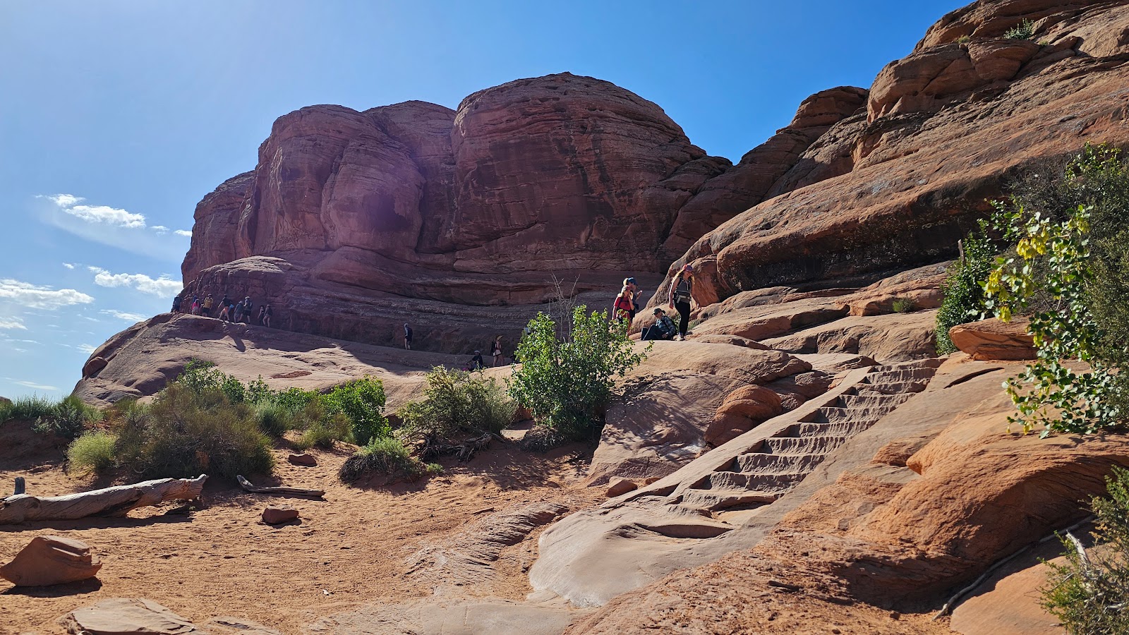 Plus there were more stairs to negotiate along the trail. I'm glad I threw in the towel when I did.
 But that sure is a wonderful looking arch at the trail's end.
 I'm glad to see everyone letting people take their photos without them in it.
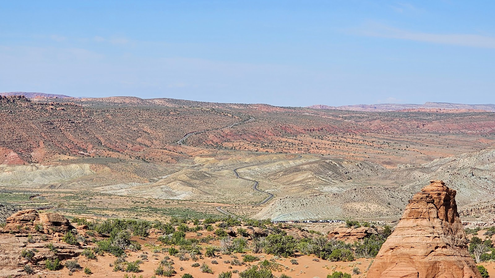 You can just make out the parking lot 1.6-miles back down the trail.
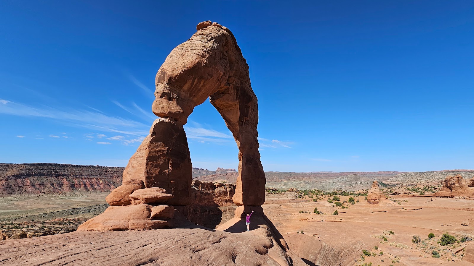 That's Tricia waving at you from underneath the arch.
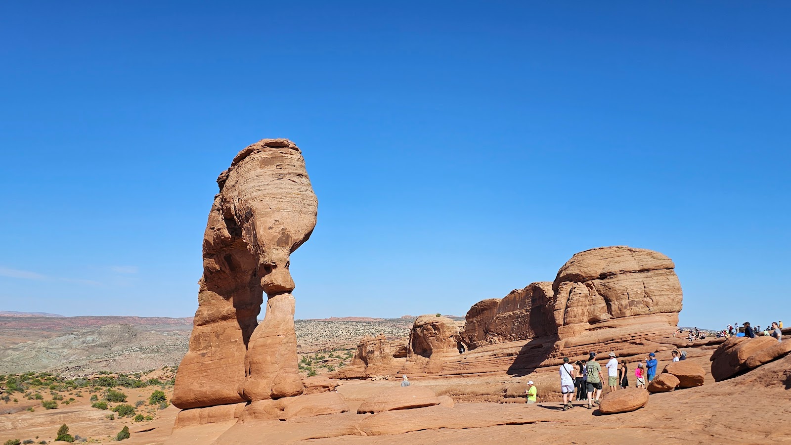
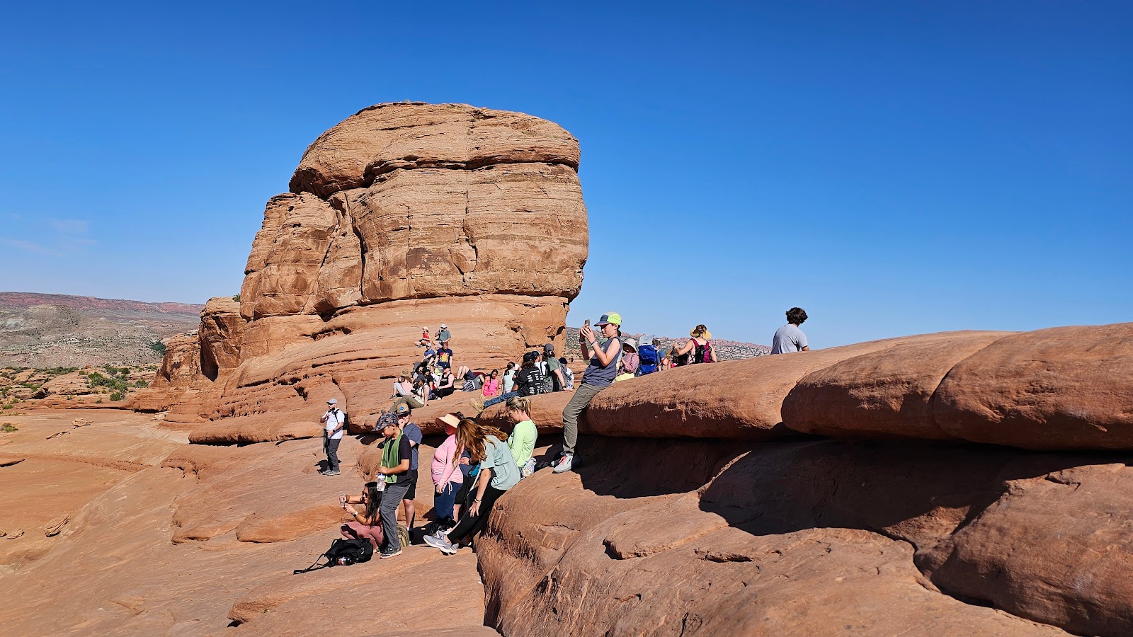 Everyone resting and waiting for their turn at taking photos under the arch.
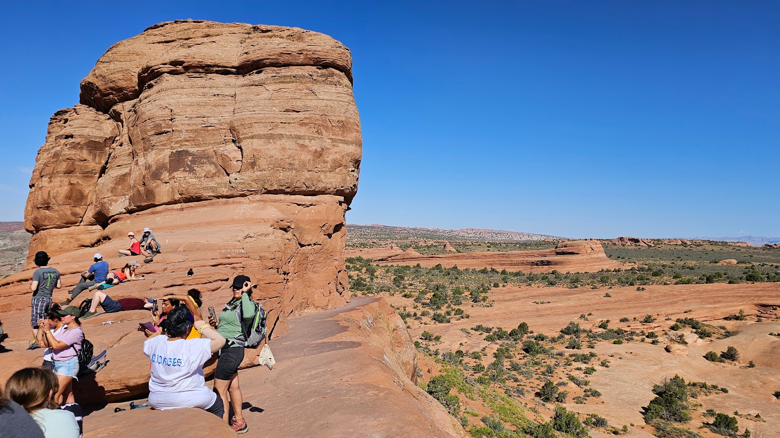 The other side of the waiting area has a sheer drop several hundred feet.
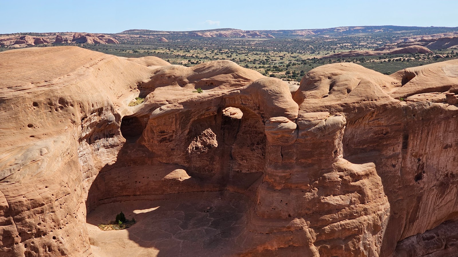 There were other smaller unnamed arches along the trail to be seen.
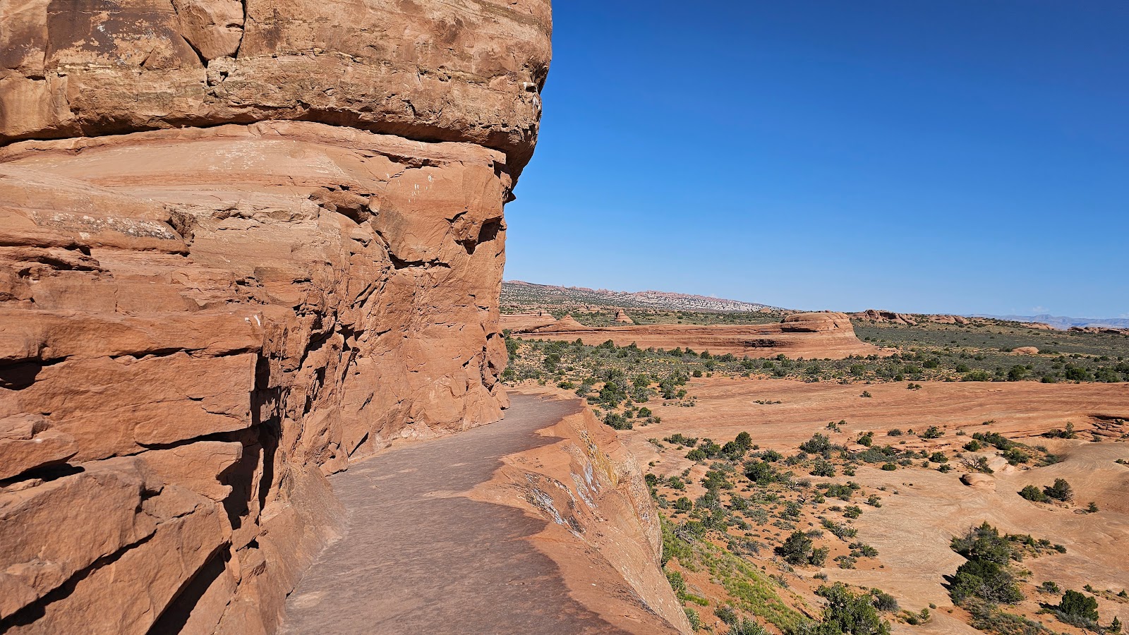 200 yards of the trail was along this narrow cliff edge.
 Here's Tricia looking back at a couple still making their way up to the arch.
 Here's that ½-mile section of slickrock along the trail.
 Looking back up the slickrock section.
 It's still a long way to go to get back to the parking lot.
 This photo shows the angle of the slickrock.
 The guy with his hands on his hips is getting his first closeup look at the slickrock section.
 This is where I turned around and obviously was not going to wait for Tricia to return.
 I guess I made it halfway up to the arch, but didn't do any of the hard stuff.
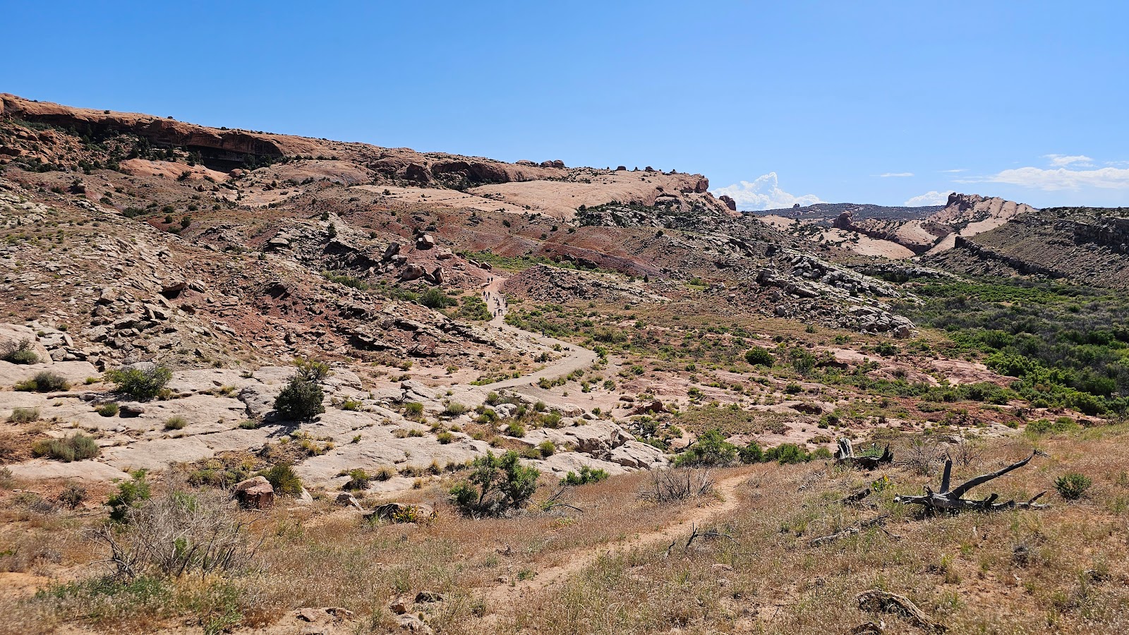
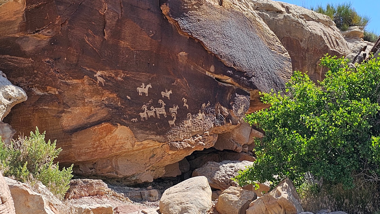 Near the parking lot was a spur trail that features some young 450-year old petroglyphs.
 Also near the parking lot you'll find what's left of Wolfe Ranch.
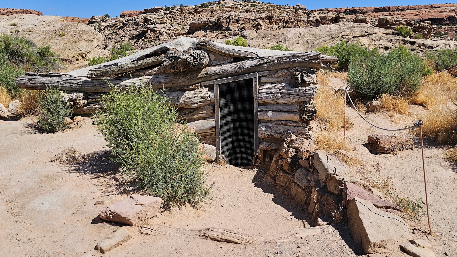 The one room home and small root cellar...
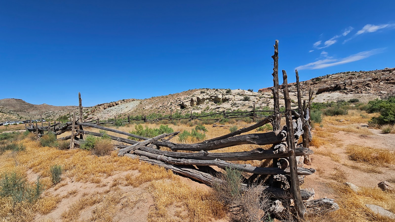 ...plus this horse corral are all that's left.
You didn't really think I was just going to tell you the name did you?
Let's wait and see if the correct name shows up in the Facebook comments!
This completes our visit of "The Mighty 5" National Parks in Utah, plus a few State Parks too.
We started in the south and made our way north, visiting first Zion National Park, followed by Bryce Canyon, Capitol Reef, Canyonlands and finally Arches National Park.
Don't ask us to pick a favorite, because it wouldn't be fair to pick just one. Each park is 100% worth visiting and each left us feeling very fortunate for having the chance to visit.
These five National Parks are not the only sites in Utah worthy of a visit.
There are a handful of National Monuments in southeastern Utah, plus Monument Valley, we've all seen and heard of that one. I guess that means a return to this region is in order so we'll have to make that happen some time soon.
For now, we're leaving Utah after visiting for 58 straight days, and we'll have another 6 days after a short dip into Colorado next.
Would you like to be notified of new blog posts?