We awoke at sunrise for our last morning in Arches National Park to some 20+ MPH winds.
But it doesn't matter, our reservation is up, and we've got places to go and things to see today.
After driving the 18-mile long Scenic Drive between the Devils Garden Campground and the Visitor Center we only had another 2-miles of driving to reach the Highway 128 Colorado River Scenic Byway's southern entrance just outside of Moab.
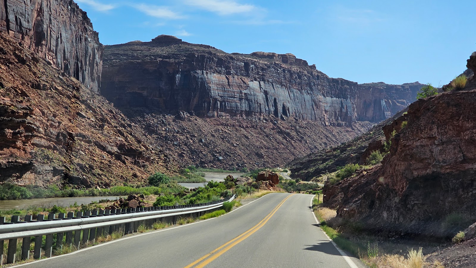
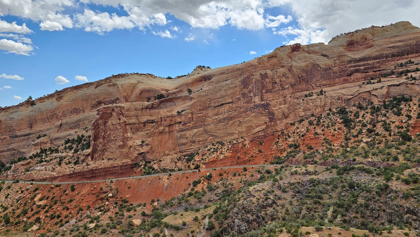
This 44-mile long byway follows the Colorado River north to the present day ghost town of Cisco, UT and Exit 204 of the I-70 highway. The southern half of the byway is by far the most scenic and where the canyon walls hug very close to the river banks. This is also where you'll find all the BLM campgrounds along the river.
The northern half of the byway is all open range land for cattle grazing and agricultural enterprises.
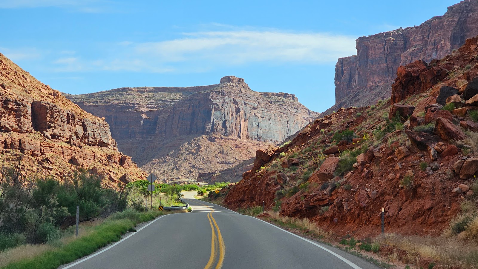
Highway 128 - The Colorado River Scenic Byway
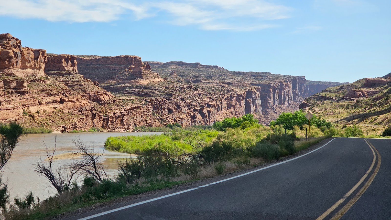 Along the first 8-miles of the byway I counted at least 6 campgrounds on the river.
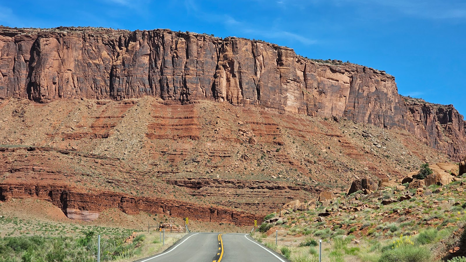
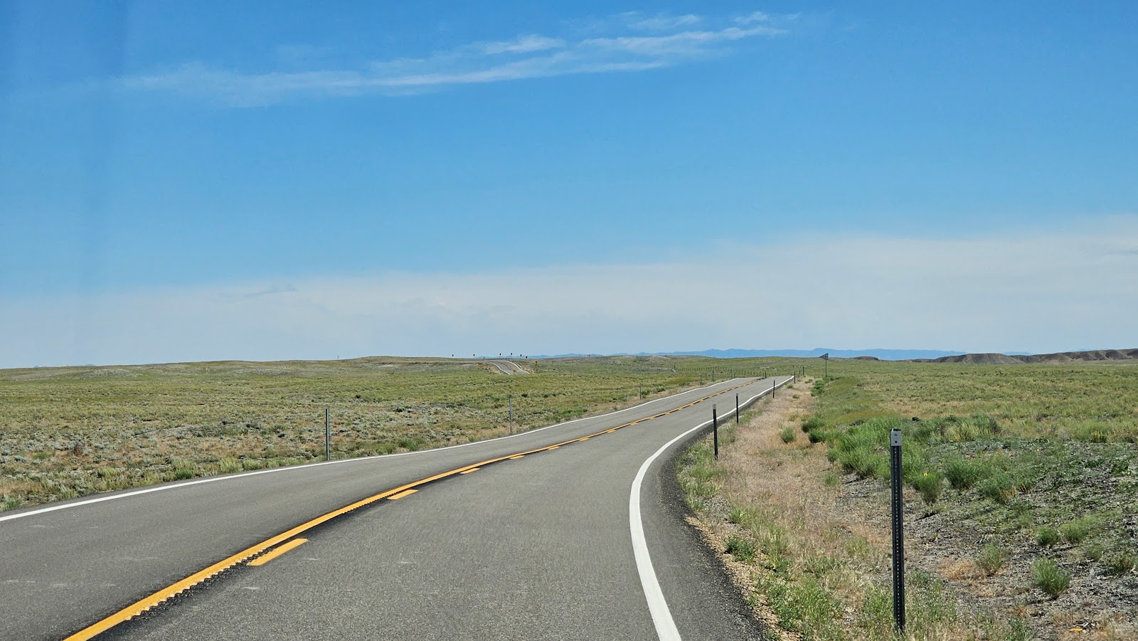 After the town of Dewey the landscape changed to wide open range land.
After the scenic byway ended we had nearly 40-miles of Interstate driving to do before reaching our exit in Fruita, CO.
That's right, we're back in Colorado for another short 3-day visit. During our Interstate driving today we crossed the Utah/Colorado border. Something we've yet to do is cross into Colorado from Utah, which is our 80th border crossing since we started traveling. There are only 107 border crossings you can do on foot or towing a trailer.
If you find this even slightly interesting, check out our Border Crossing Challenge Page HERE.
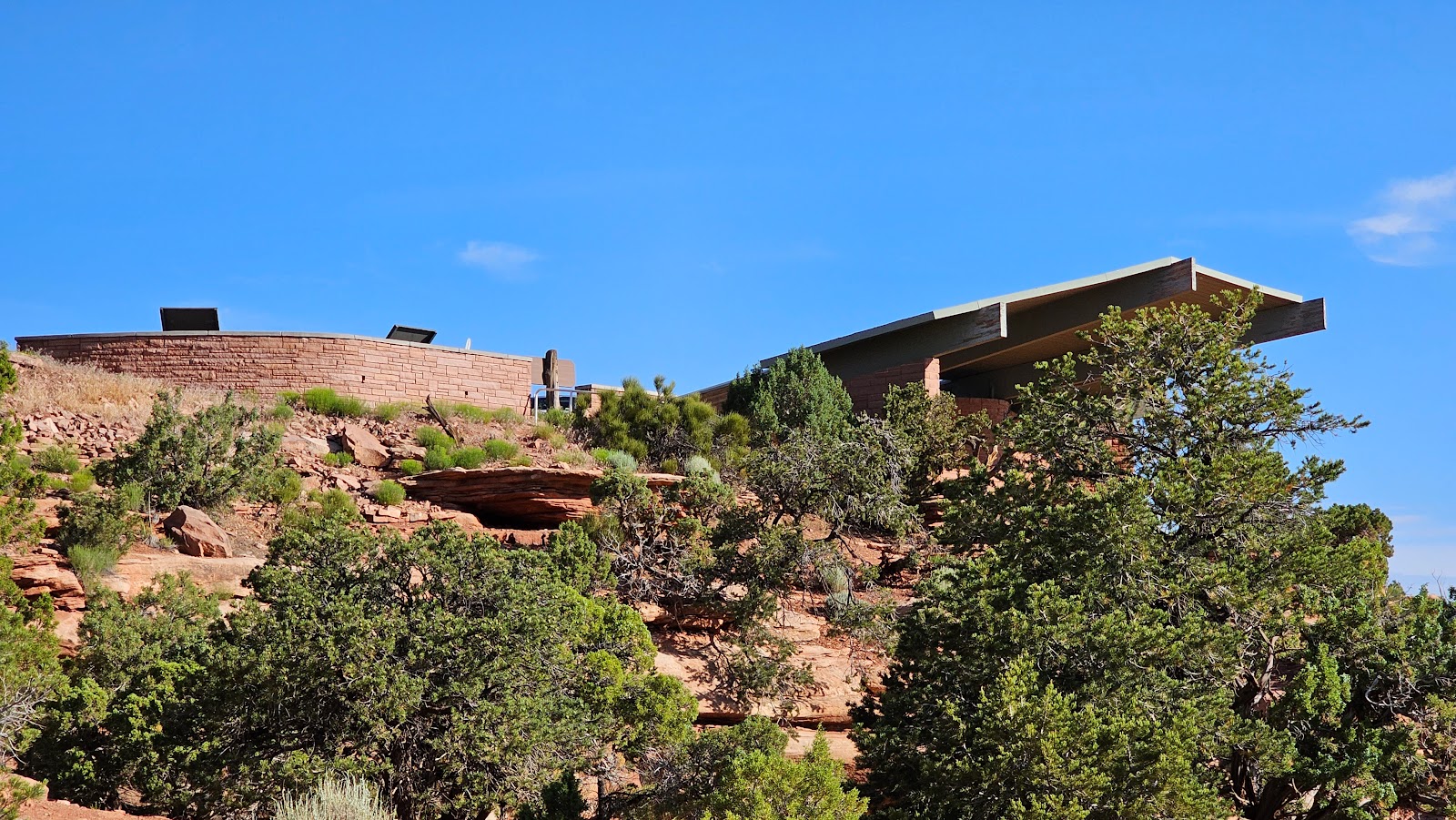
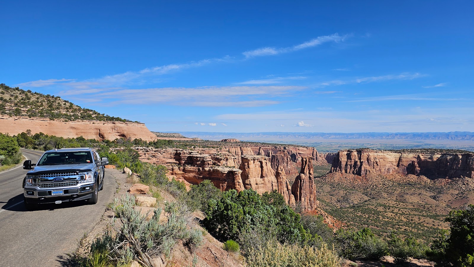
Once leaving the Interstate we very quickly arrived at the entrance gate of the Colorado National Monument, where we'll be visiting for the next 3-days.
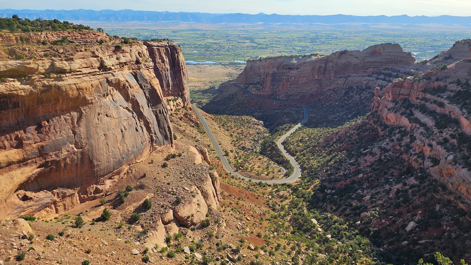
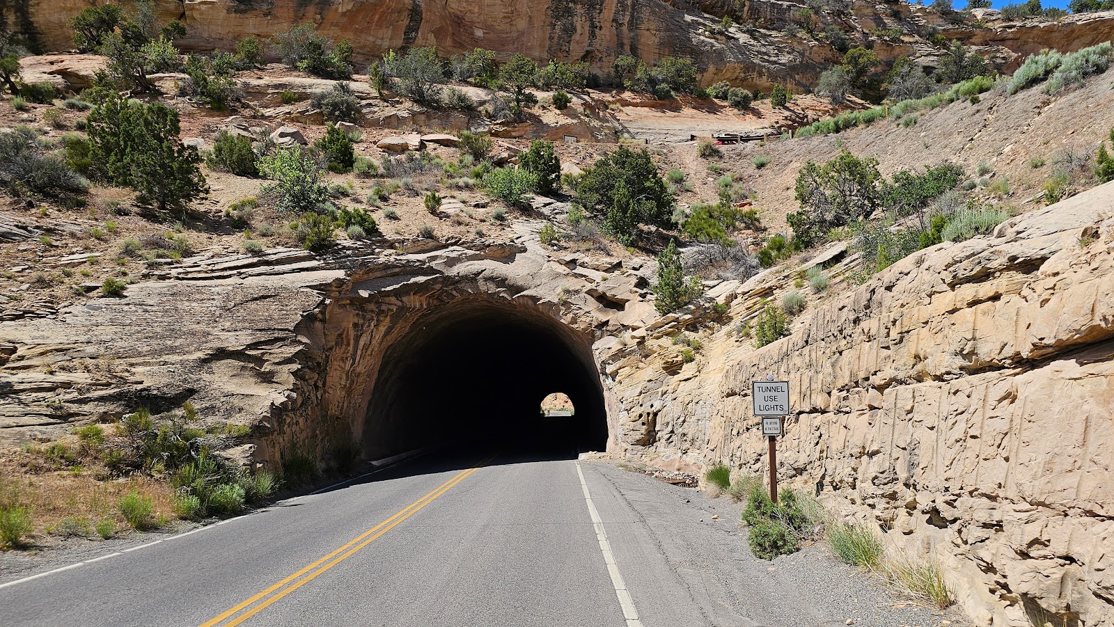
From the Entrance Gate to the Saddlehorn Campground is only 4.5-miles, but you gain 962' of elevation over that short distance. This is accomplished by negotiating the 7 tight switchbacks and 2 tunnels before your arrival into the campground.
THE ENTRANCE ROAD TO THE CAMPGROUND
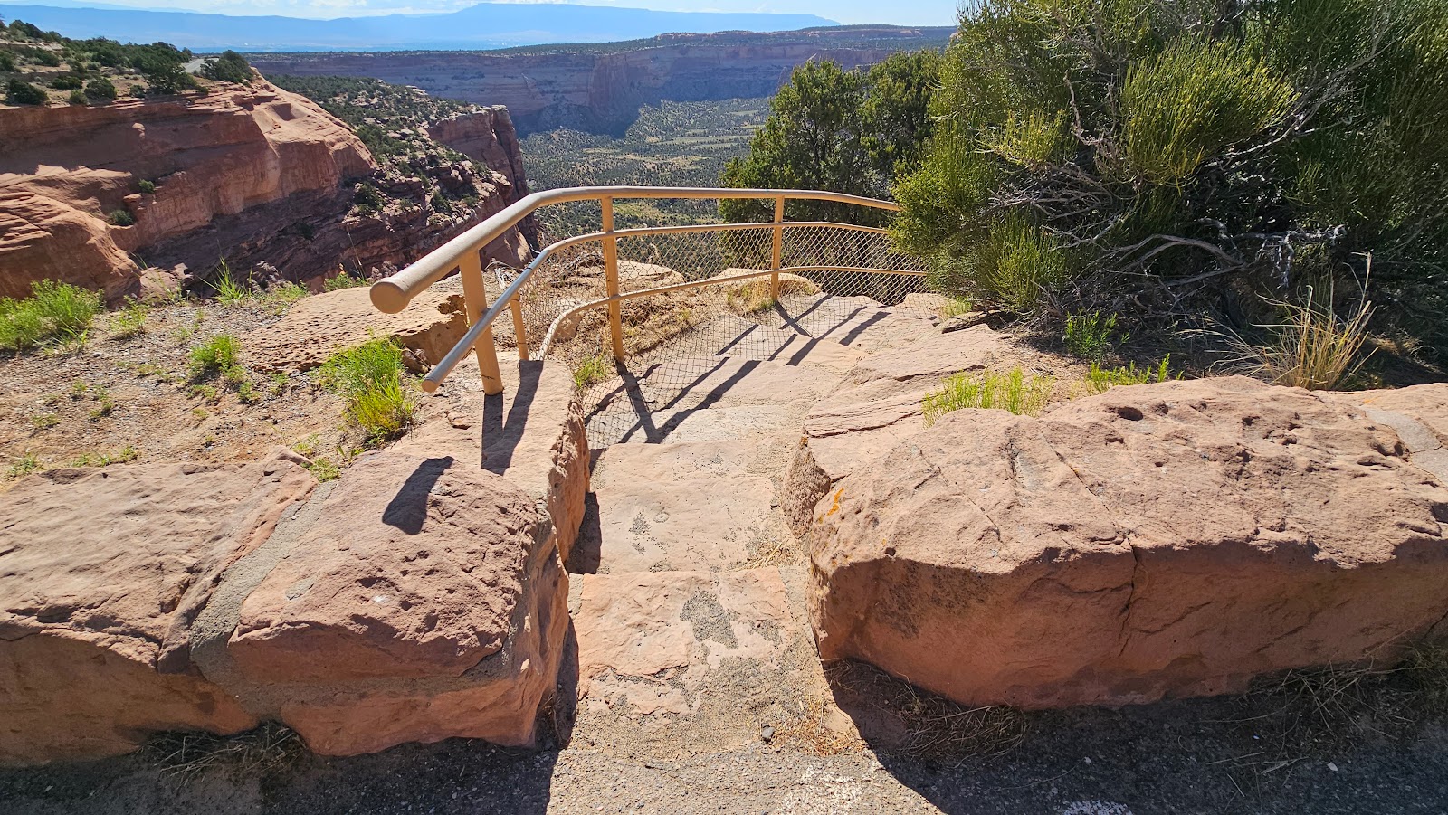
 Our first stop on the climb to the top.
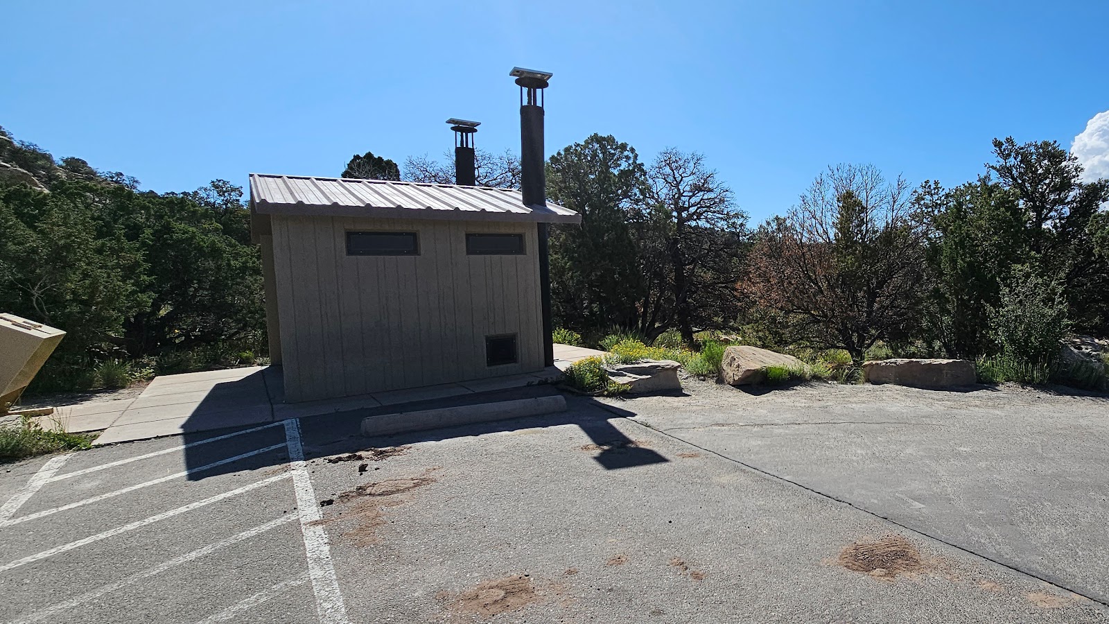
PRO TIP: Never arrive at your campsite needing to use the restroom, it never goes well.
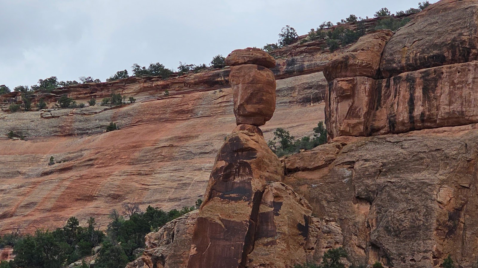 Hey look! They've got balanced rocks here too.
 We've made it around two of the switchbacks at this point.
 10'6" on the side and 16' in the middle means we'll need to drive down the center line.
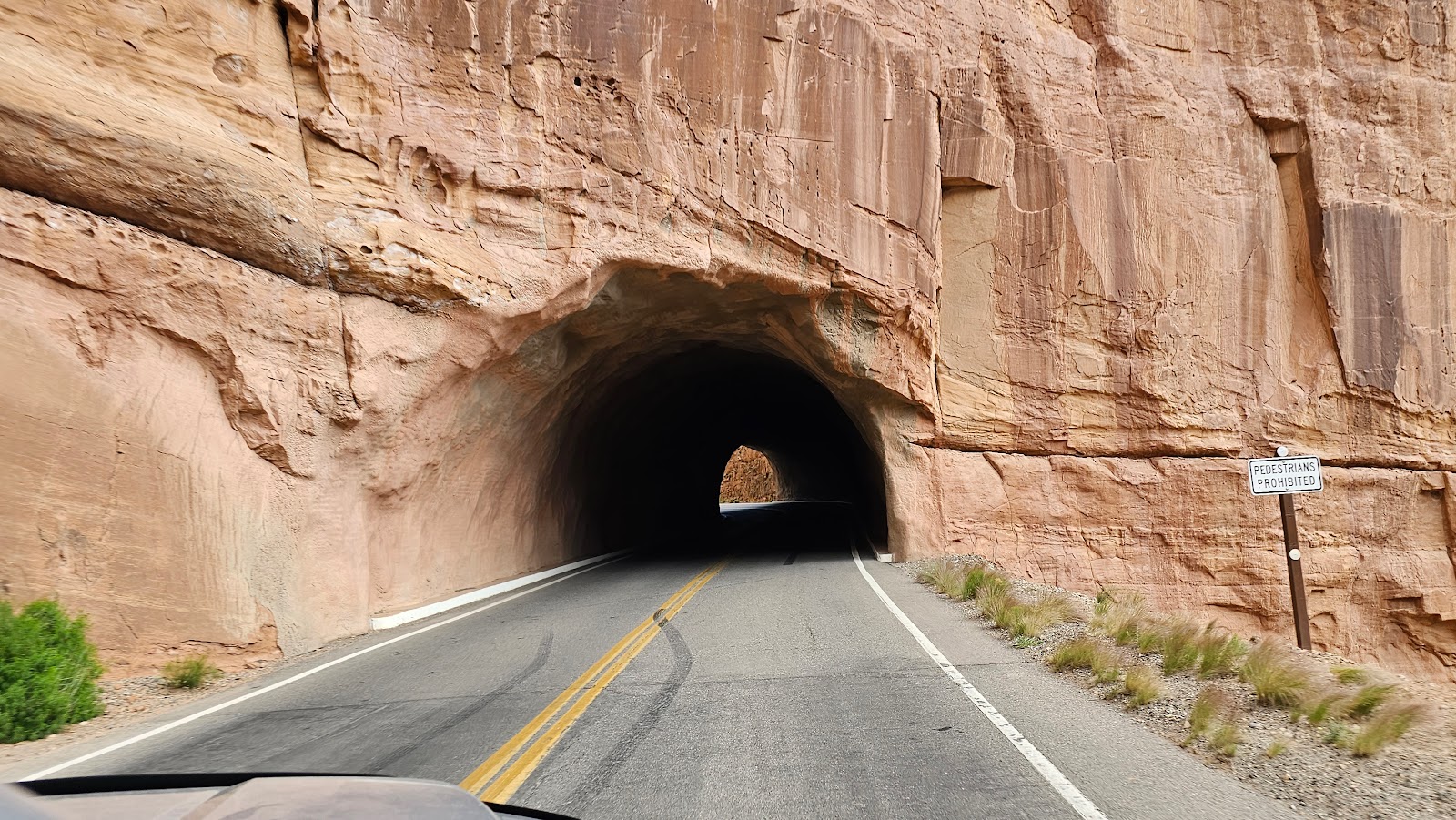 I hope no one is coming from the other direction.
 Thank goodness it's a short tunnel.
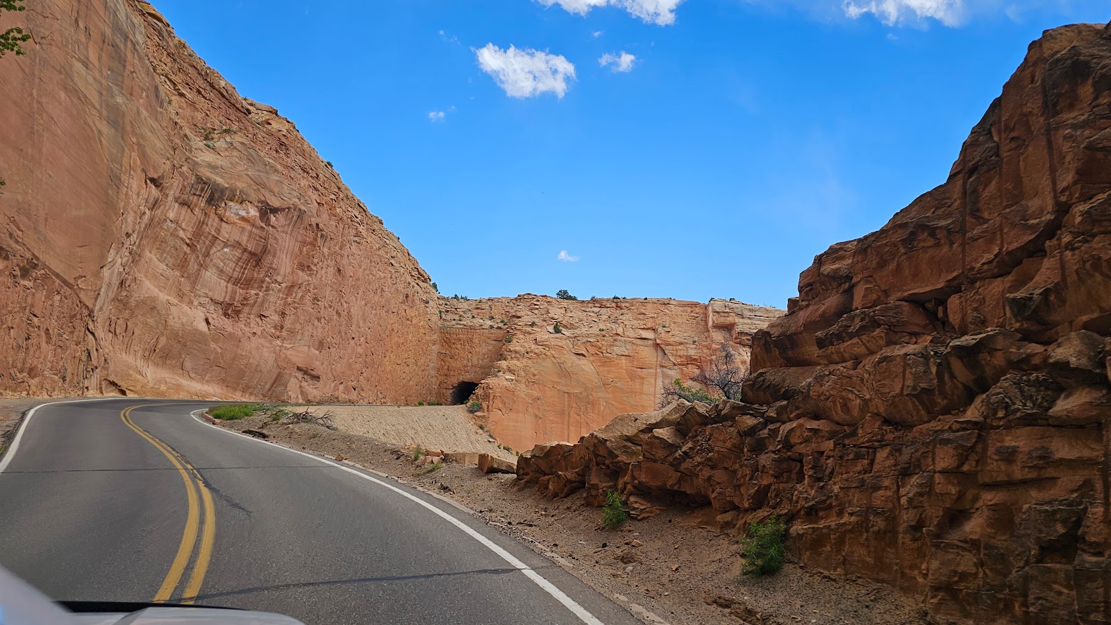 We no sooner clear the first tunnel and the second one is in sight.
 It's also very short.
 We're nearly at the top now.
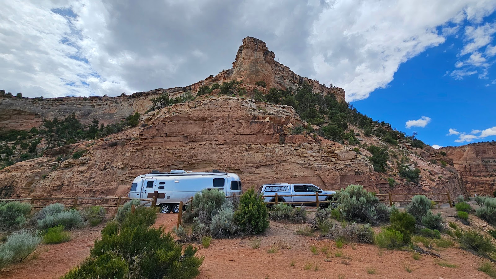
We found our reserved campsite and quickly had to develop a strategy for how we were going to get level and still fit in our space. The photos below show what we came up with. It did involve us blocking the road with ROVER while unhitching and will again when it's time to leave, but it's the best we could come up with.
It's hard to tell but the site slopes 6.75" from left to right across the width of our wheels.
We were able to "adjust out" only about 5" of that, so we'll be a little crooked while we're here.
We had to raise the front 14" to get level front to back, but that was easily done.
It does make entering and exiting through our door a little bit "tricky"...
...but this view makes it entirely worth while, don't you think?
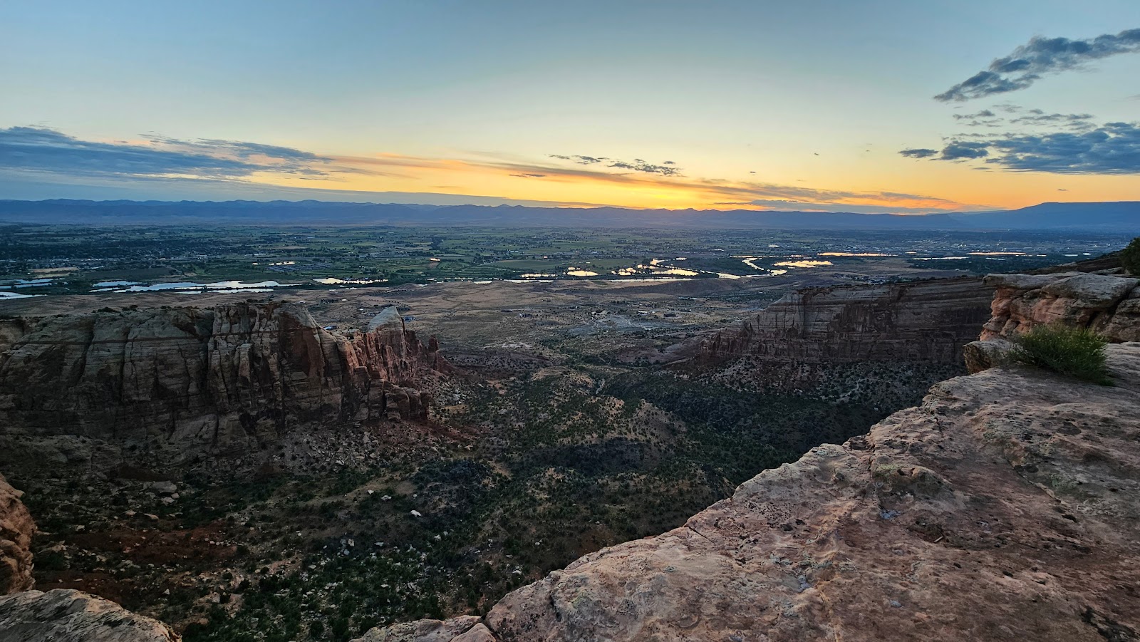
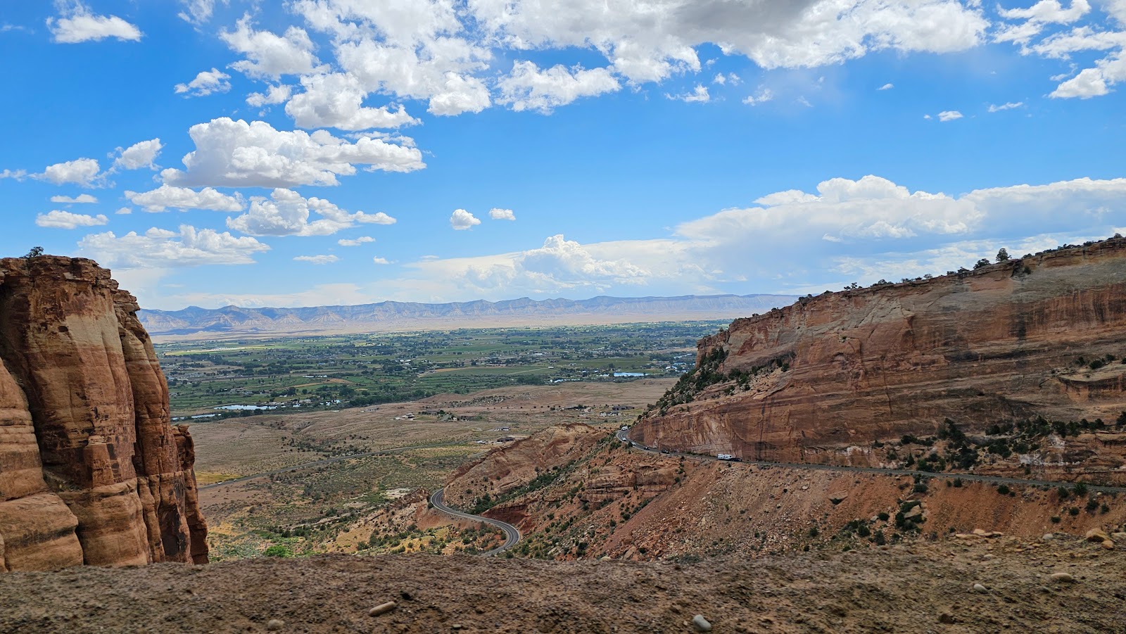
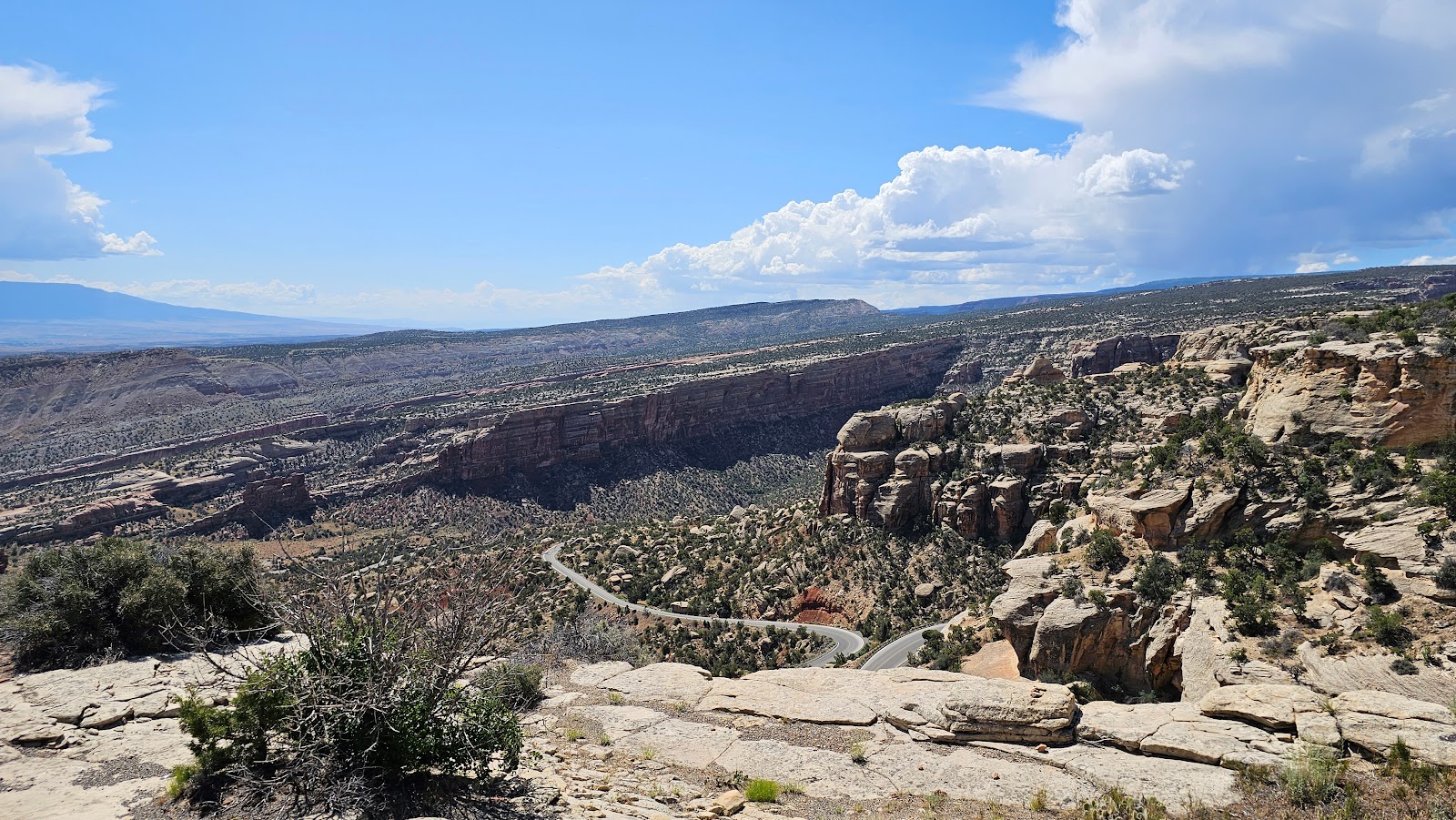
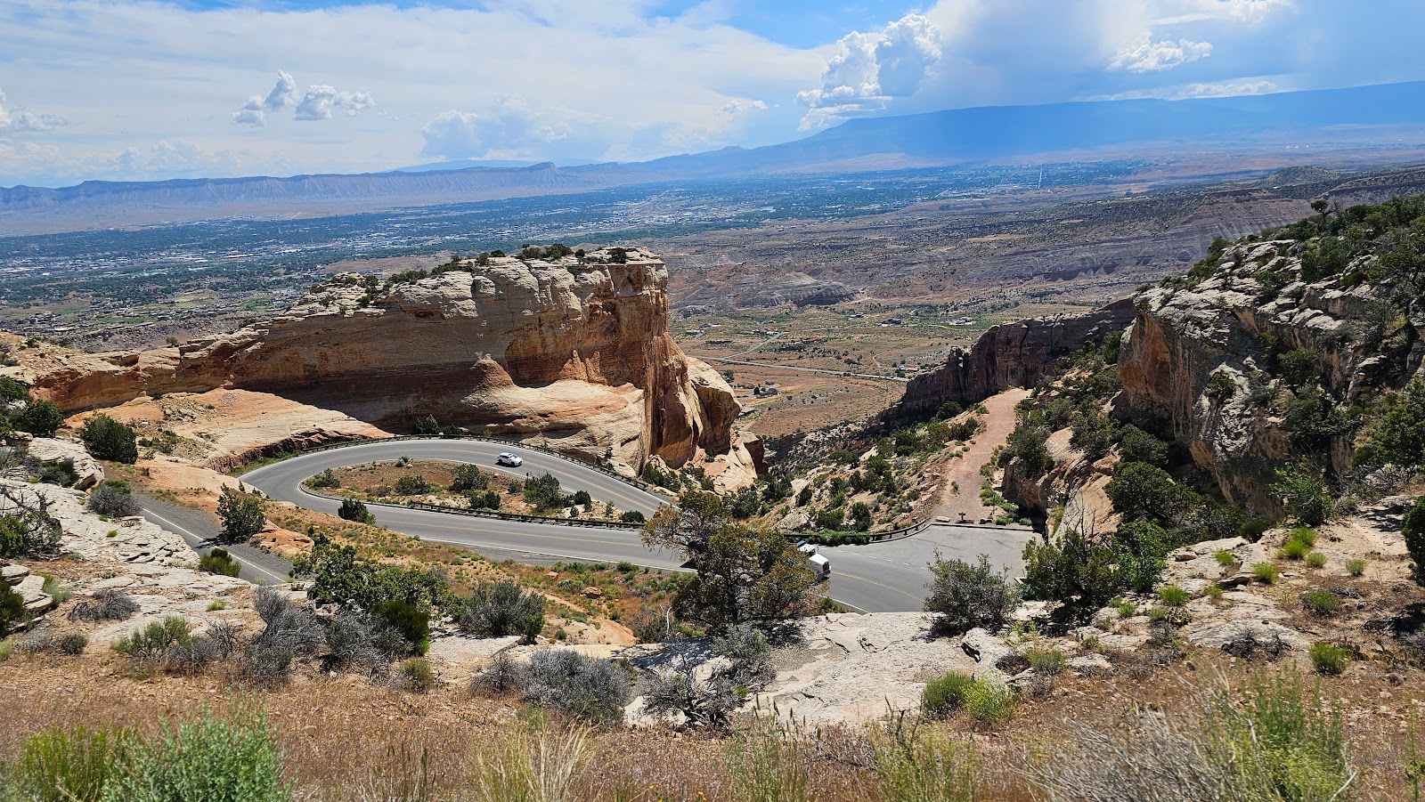
TUESDAY - Today we're going to explore the 23-mile long
Historic Rim Rock Drive that stretches from the west entrance gate in the town of Fruita, all the way down to the east entrance gate in Grand Junction, CO.
The park brochure states it takes 1-hour to make the leisurely drive through the park, 2-hours if you stop to take any photos. So as usual, we took 3¼-hours to make the trip, but we're both retired so what else do we have to do today? The answer to that is plenty!
At the end of the drive, while down in Grand Junction, we'll take care of our usual errands like eating lunch, purchasing groceries and gasoline, plus one other "special errand" that I'll talk with you about a little bit later in this post.
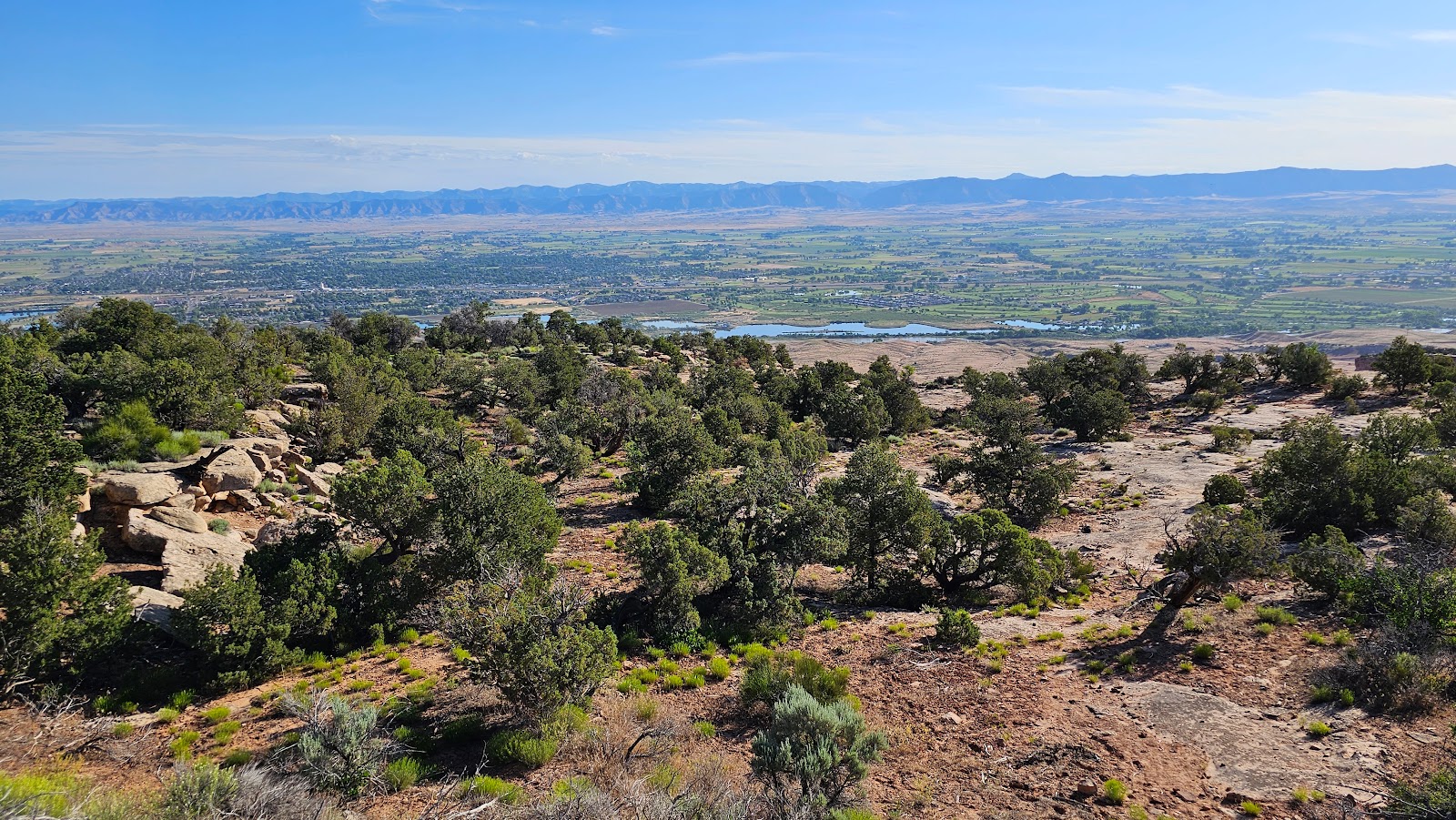
But first, how about a few photos Tricia took while on her early morning walk today.
WARNING: Get yourself a cold beverage, maybe a snack, and definitely a comfortable seat, because I believe this is our longest slideshow presentation to date! • • 76 PHOTOS LONG • •
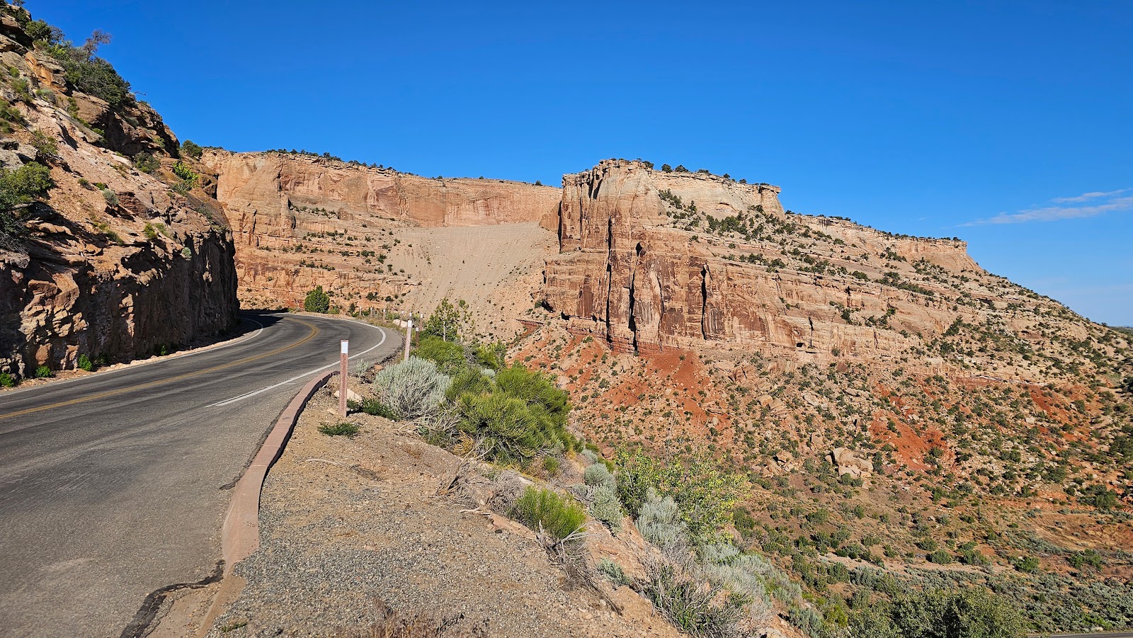
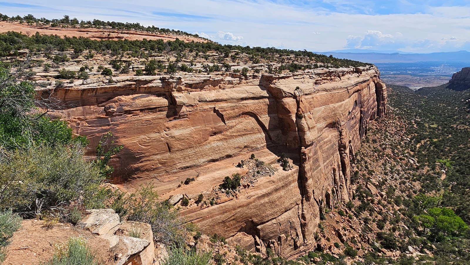
HISTORIC RIM ROCK DRIVE
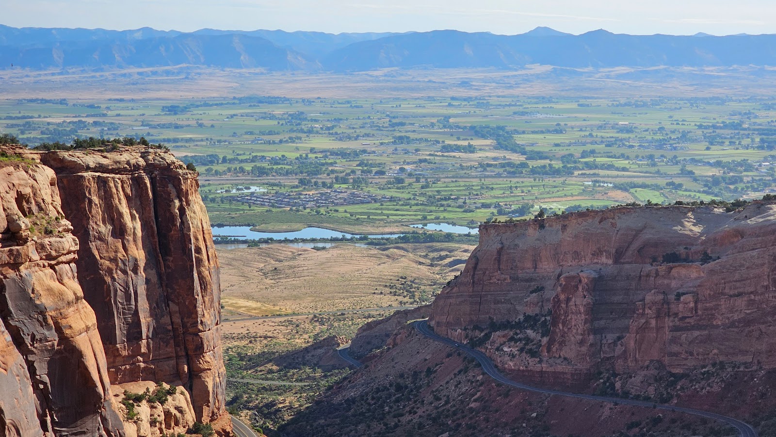
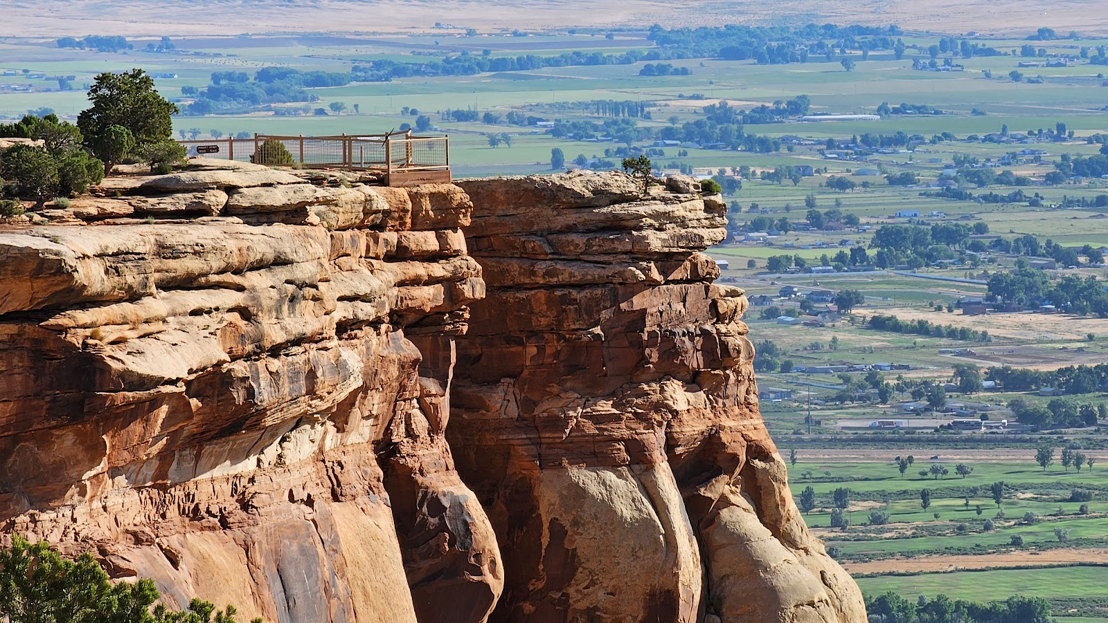
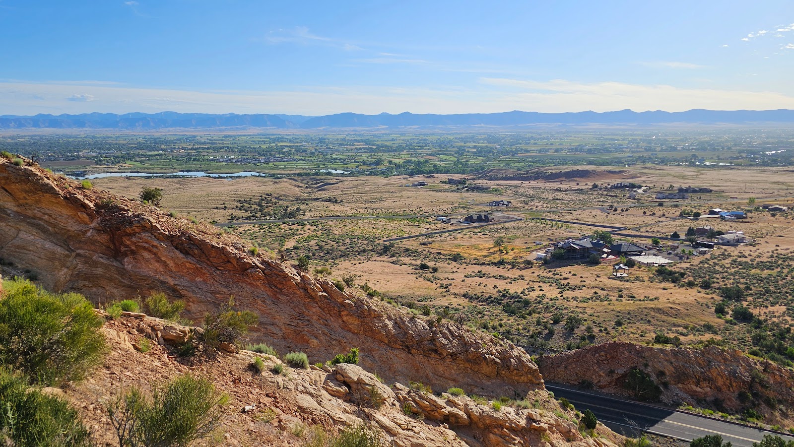 By 7:45AM we were standing at our first of many overlooks today, Redland View Overlook.
 That's the only switchback below this overlook, the other six are up above.
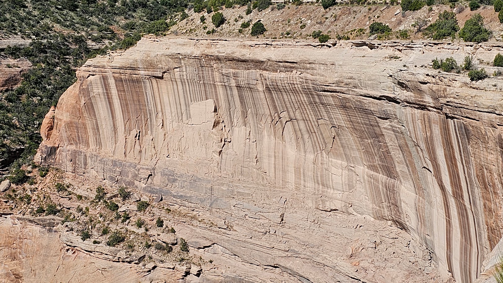
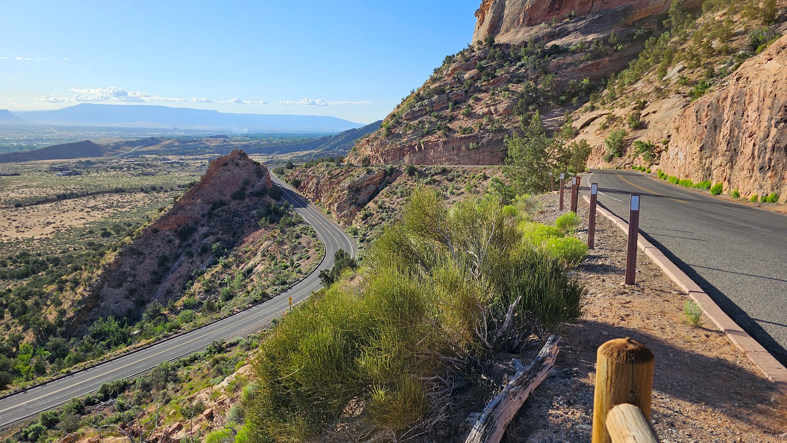
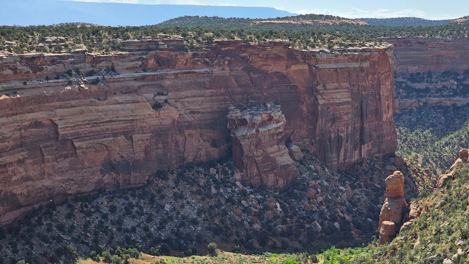
 What looks like a giant rock slide on the side of that mountain,
is actually the debris field from the construction of the two tunnels up ahead.
 This is absolutely the worst time of the day to photograph Balanced Rock.
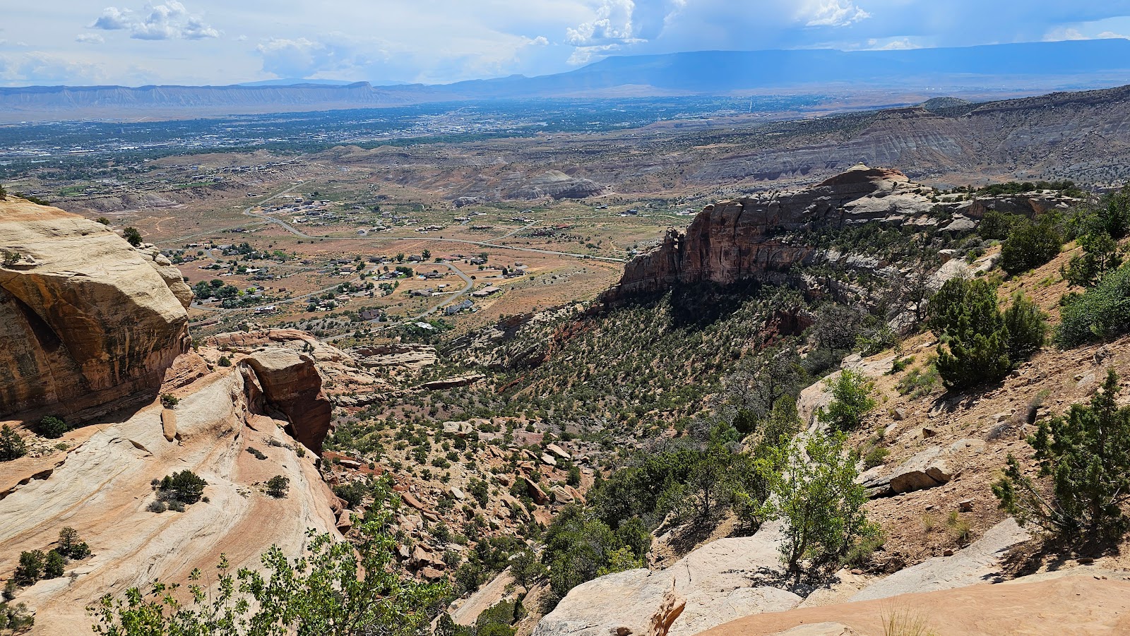
 This overlook is called the Historic Trail.
 It has some pretty nice views of the Colorado River in the background.
 This overlook was simply called Distant View.
 A view of the Balanced Rock switchback from the Fruita Canyon View overlook.
 Can you find Balanced Rock in the photo?
 Looking down towards the Colorado River.
 This photo is from the Book Cliffs View overlook.
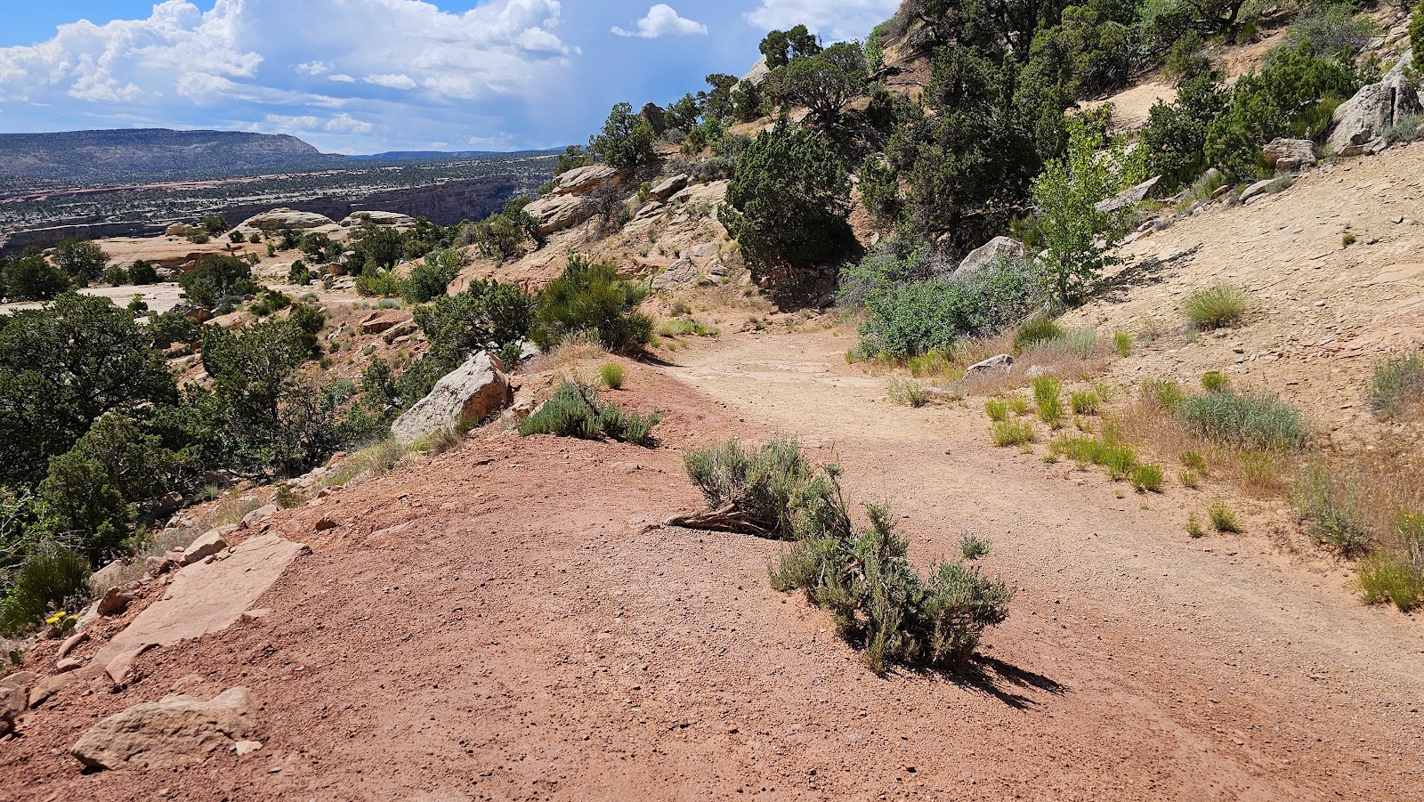
 There's a nice view from out on the Rim Trail.
 Book Cliffs View is located behind and below the Visitor Center.
 This road sign sums up what we can expect for the rest of the drive.
 This is Otto's Trail, named after John Otto who was the 1st park custodian.
He was also the chief advocate for creating the Colorado National Monument.
 At the end of the short ¼-mile trail we found some spectacular views.
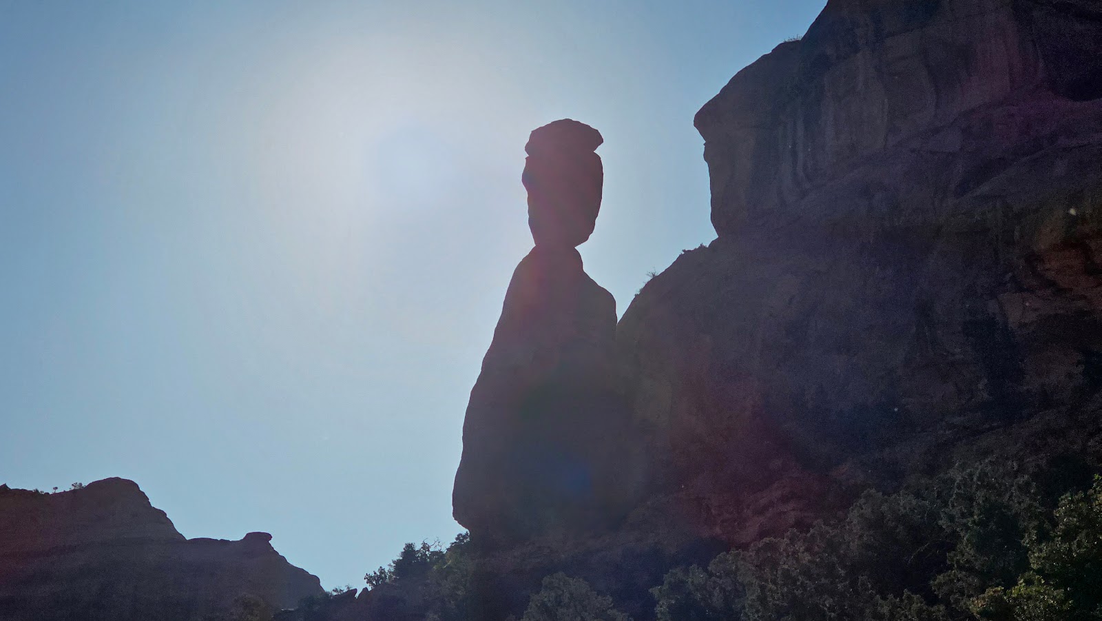
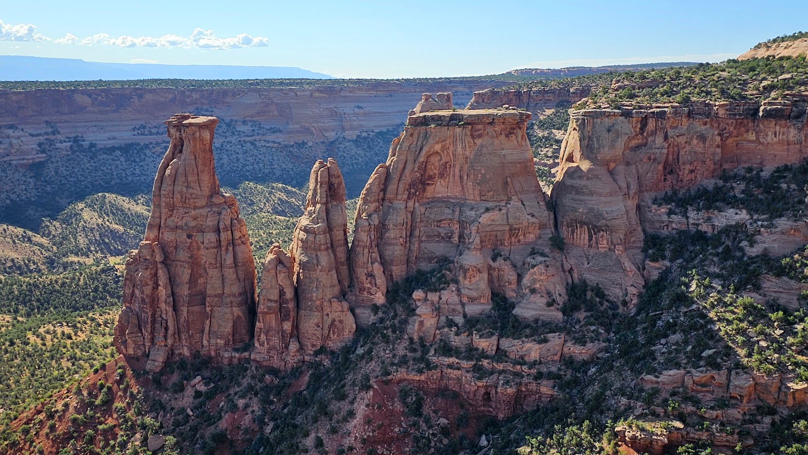
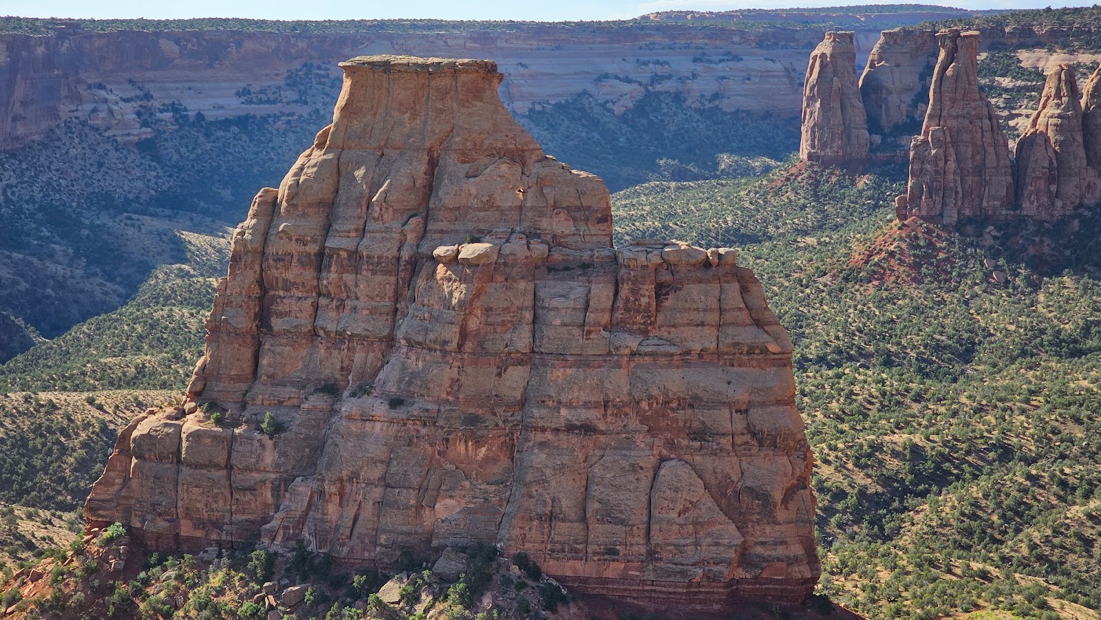 There was a spetacular view of the 450' tall Independence Monument.
 The next stop was at a spot called Independence Monument.
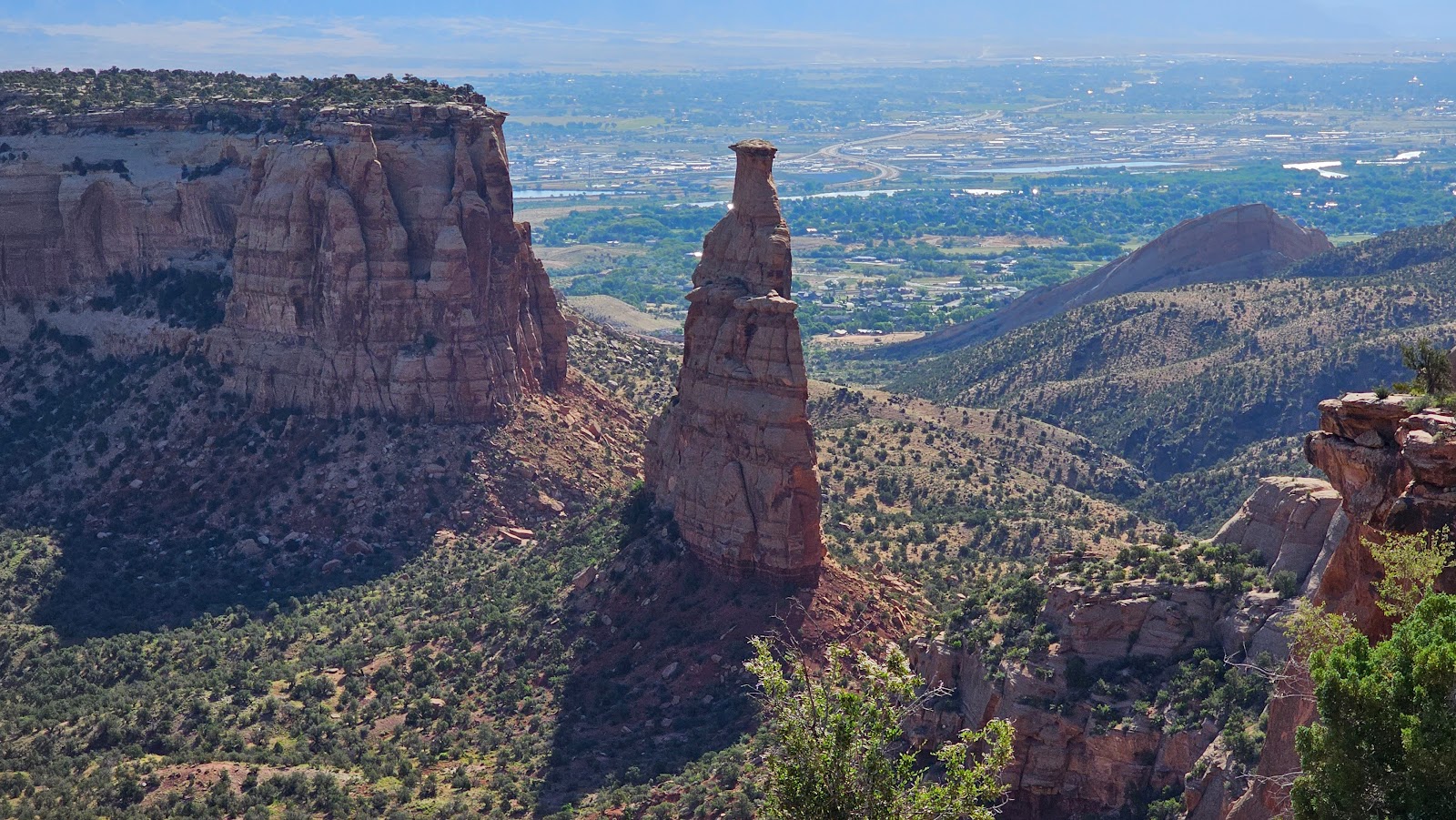 From this angle you can see just how skinny the monumnet is.
 On June 8th, 1911, John Otto erected an American flag atop the monument.
That was the day President Taft officially established the site as a National Monument.
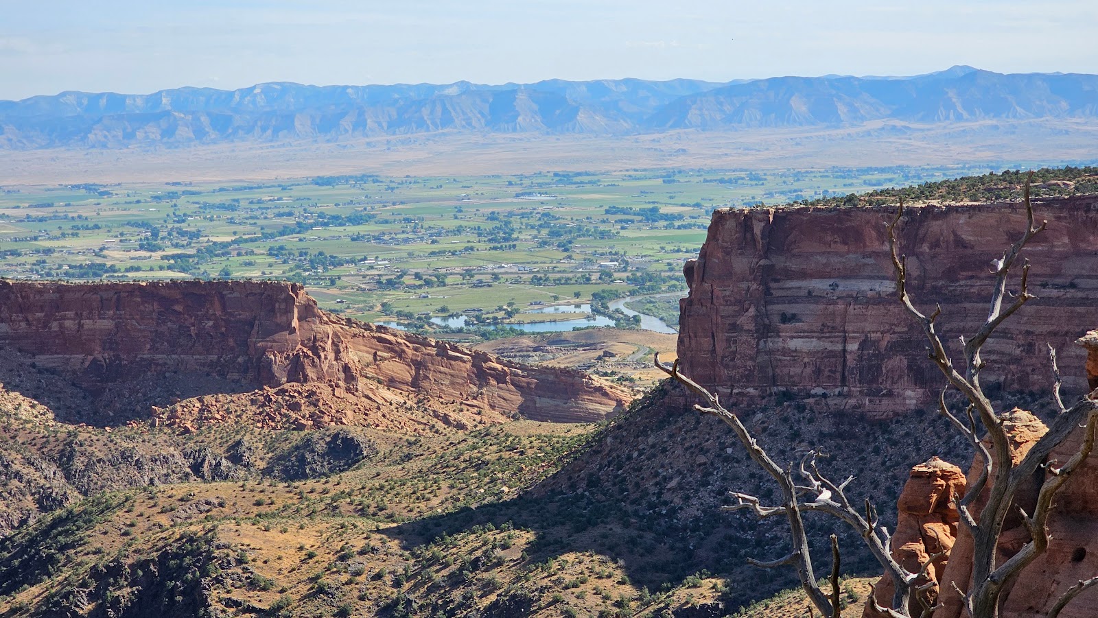
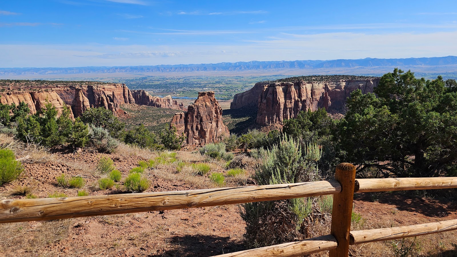 Another look at Independence Monument from the Grand View Overlook.
 Here's a closeup showing it's no small feat to climb this just to place a flag on top.
Yet every year since 1911 the do just that on the 4th of July.
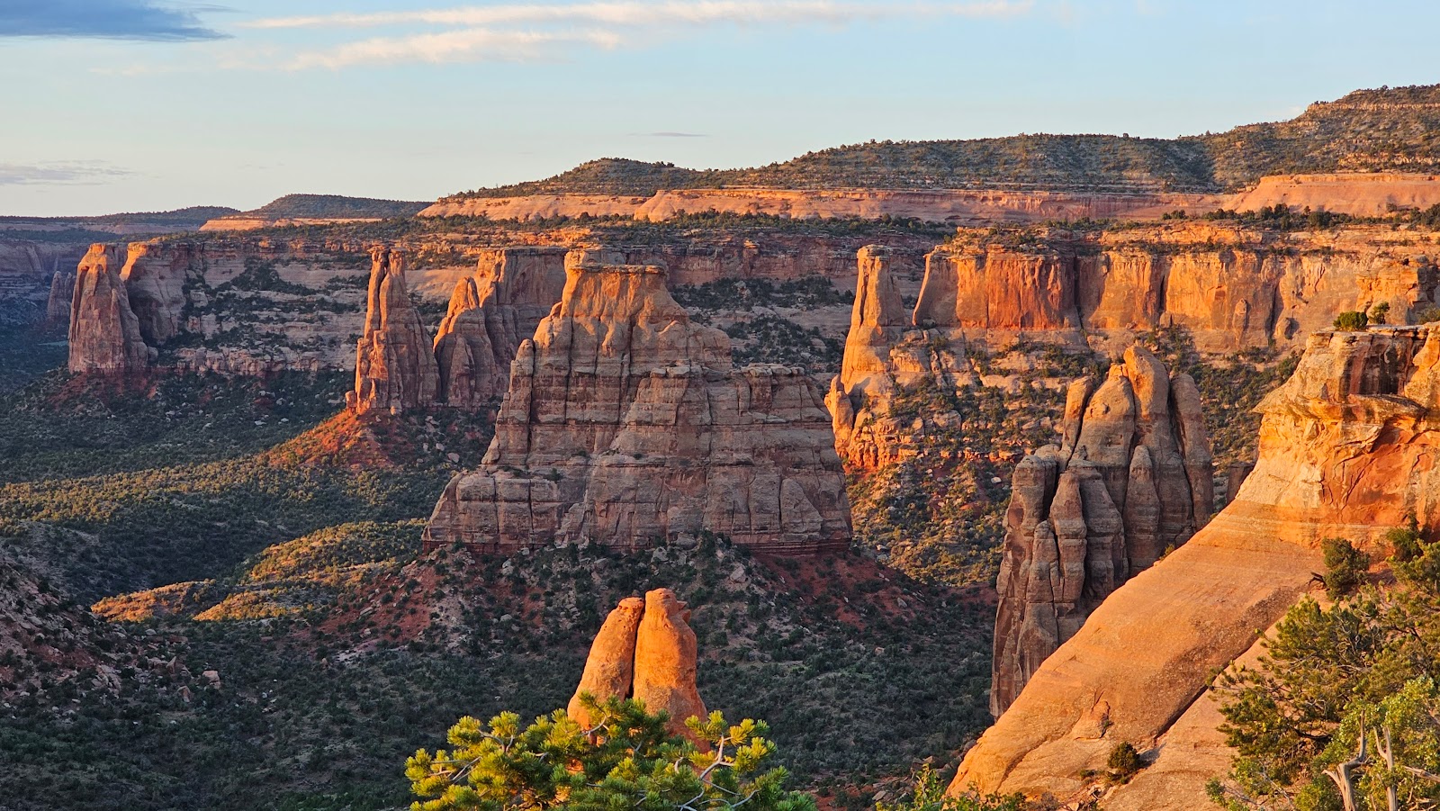
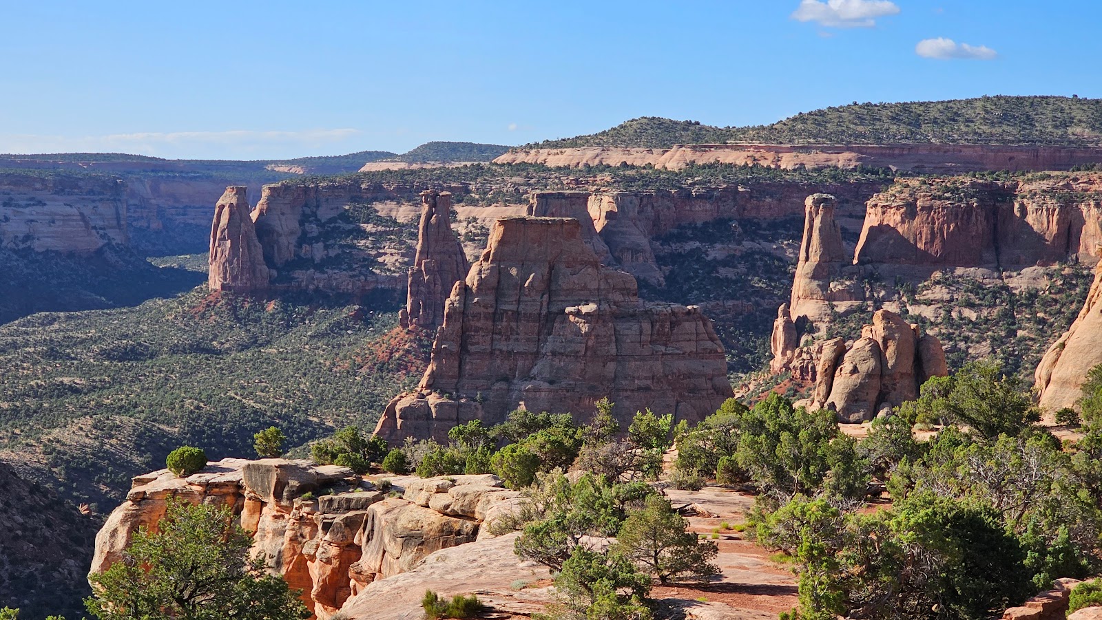
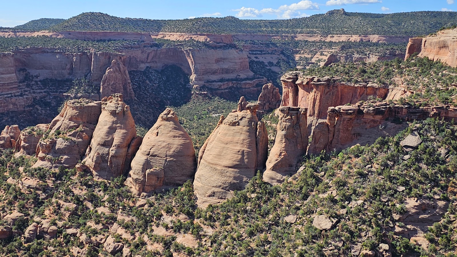
 Three more views from the Grand View Overlook.
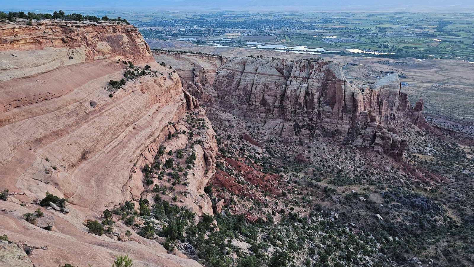
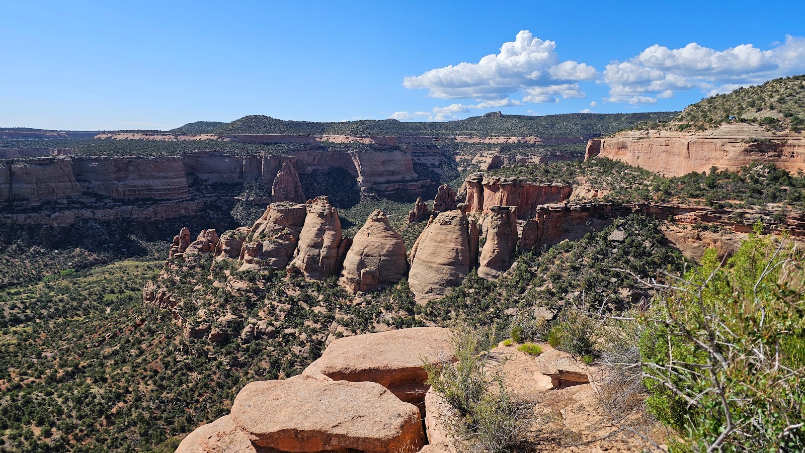
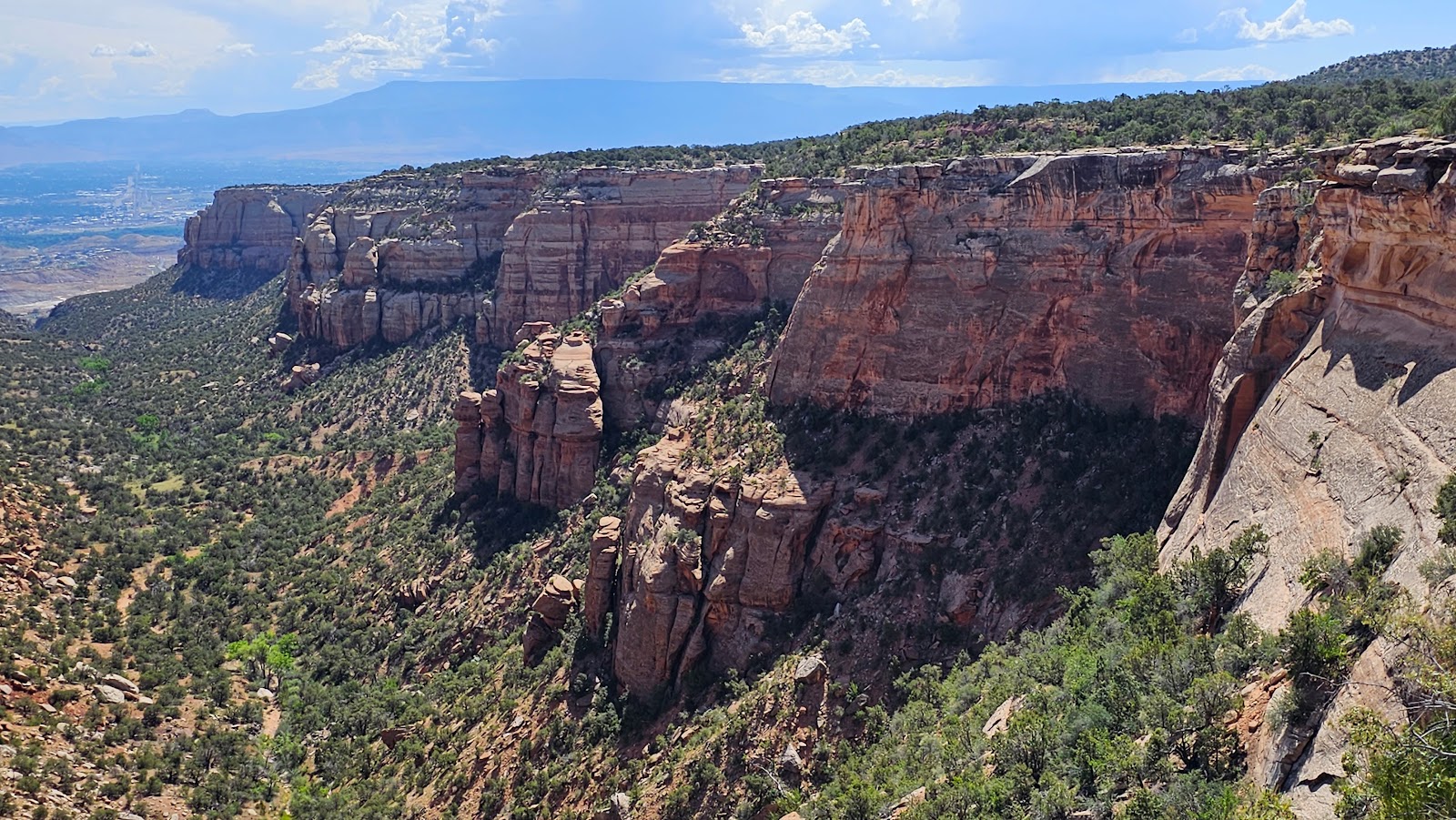
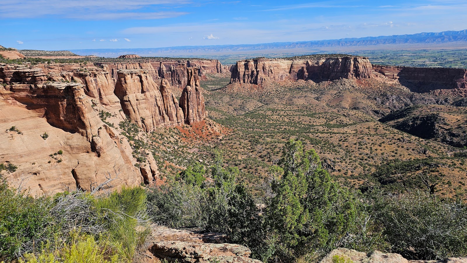 This entire area is known as Monument Canyon.
 ROVER was feeling ignored, so we included him in the slideshow.
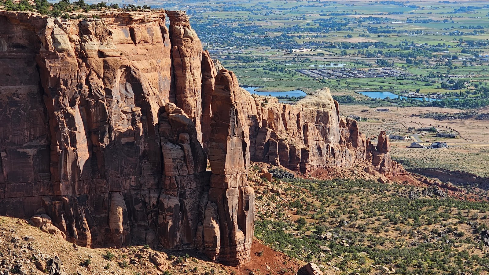
 The next stop, Coke Ovens Overlook. This will required some stair climbing.
 These round, igloo like shapes, resemble coke ovens.
 Coke is a byproduct of heating coal, which is then used to make steel.
 This is the beginning of the Monument Canyon Trail.
 That cave over there is actually part of the drainage tunnel under the roadway.
 You can just make out sections of the trail on the far side of the canyon.
 This is the view from a location called Artists Point.
 It's called Artists Point due to all the different colors found in the rock.
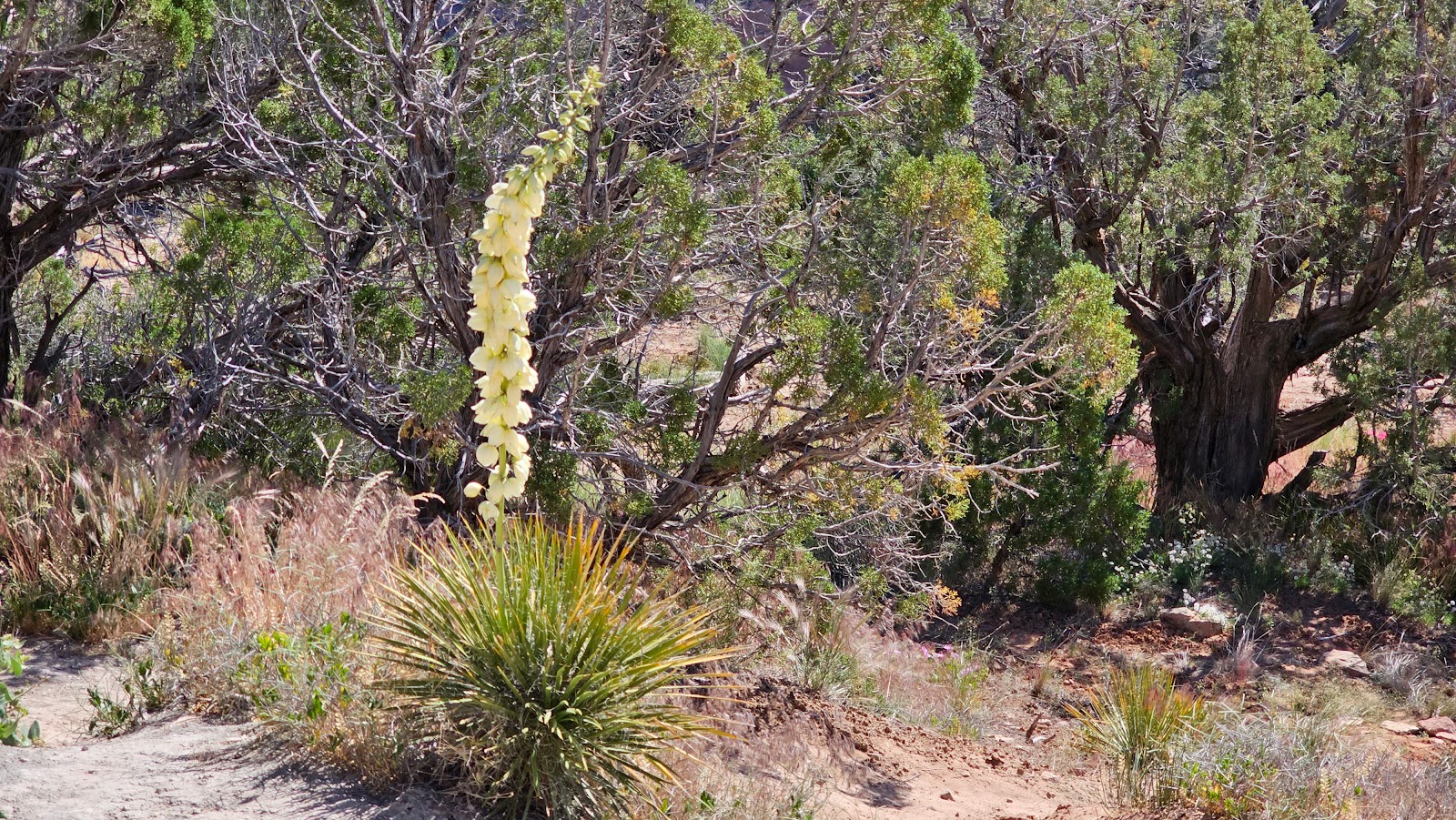
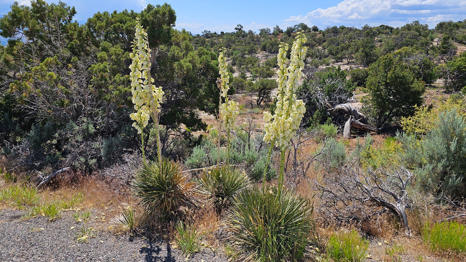
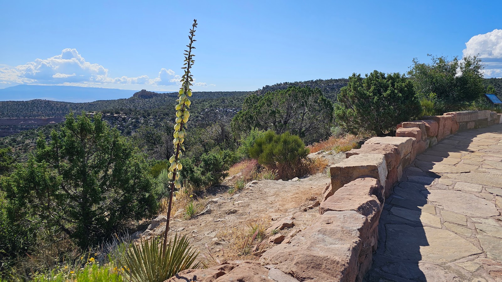 At Highland View we found the yucca in full bloom.
 This was the most anticipated stop of the day, at least for me it was.
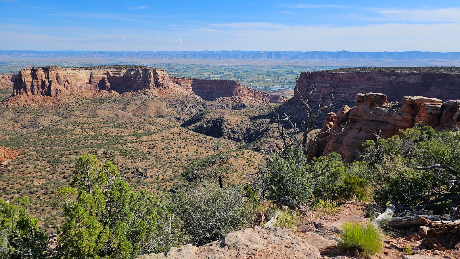
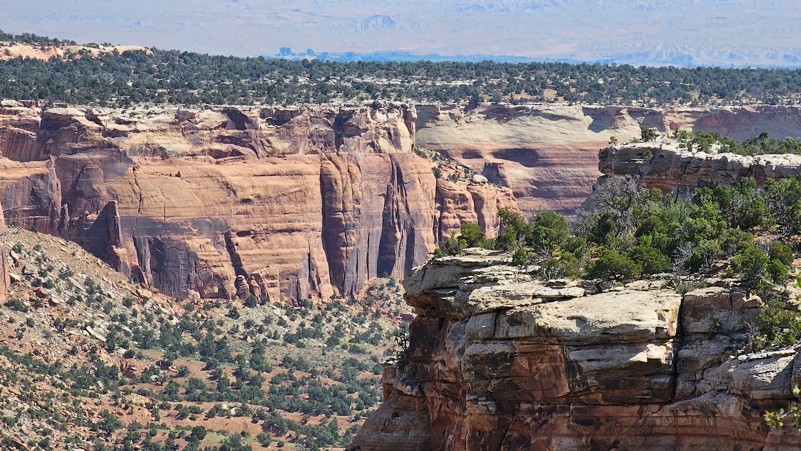
 Upper Ute Canyon View was just as described.
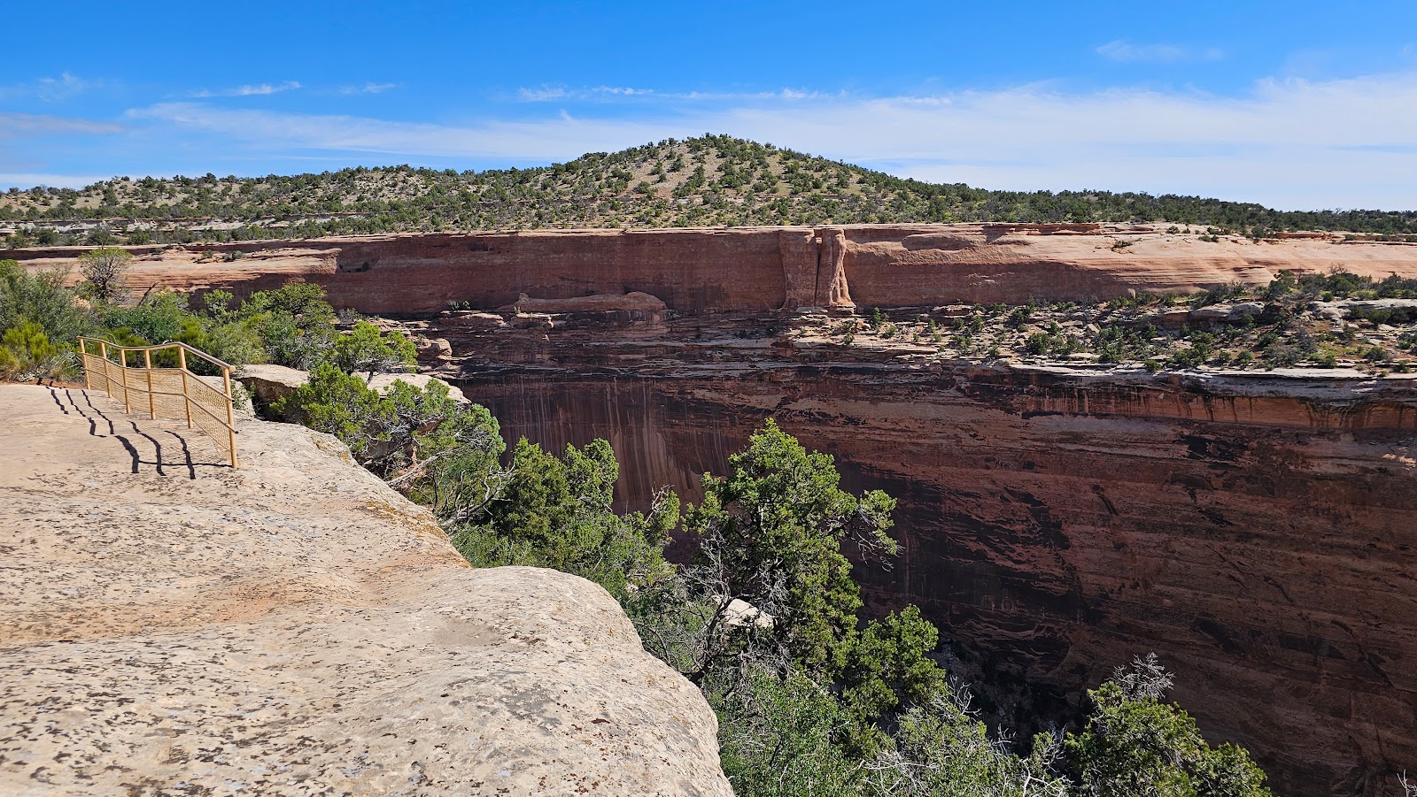 It had wonderful canyon views.
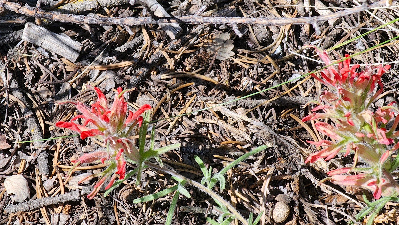
 It also had some wonderful bursts of color all around.
 Well looky there at who came out to say hi to Tricia.
 That over there is called Fallen Rock. Instead of crumbling into boulders when it fell from the ridge it stayed intact and just slid down the wall.
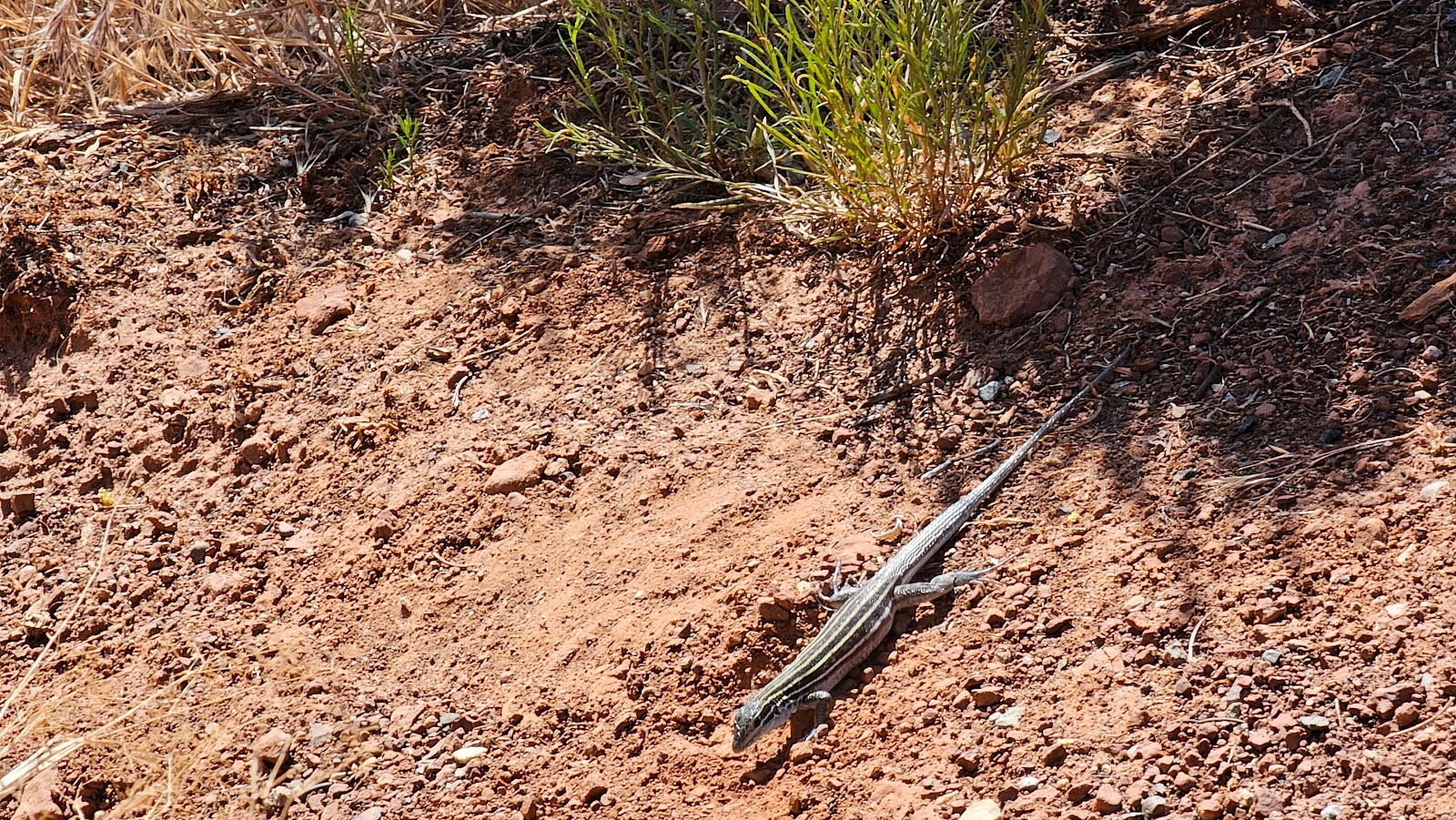
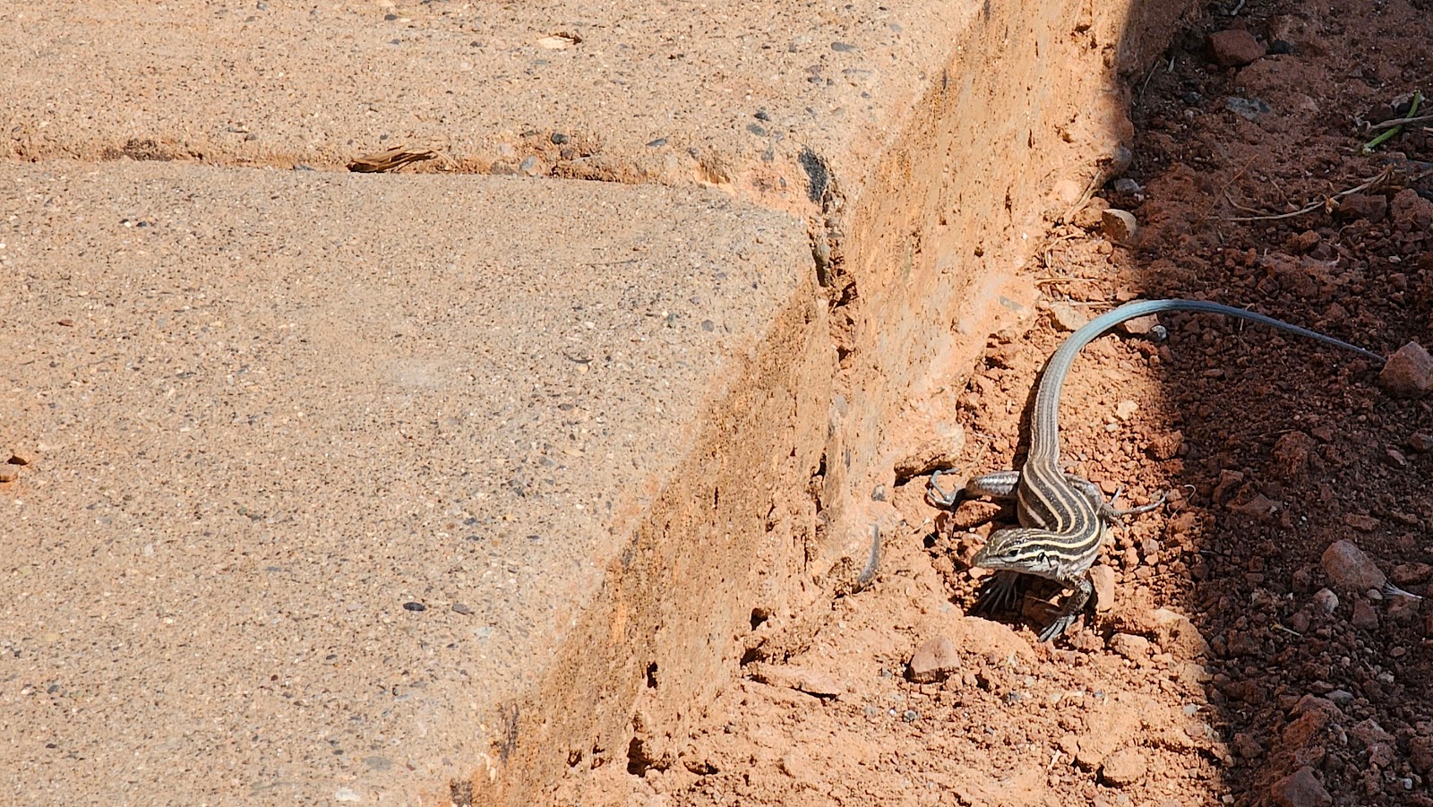 Lenny the Lizard was also there to say goodbye when Tricia left.
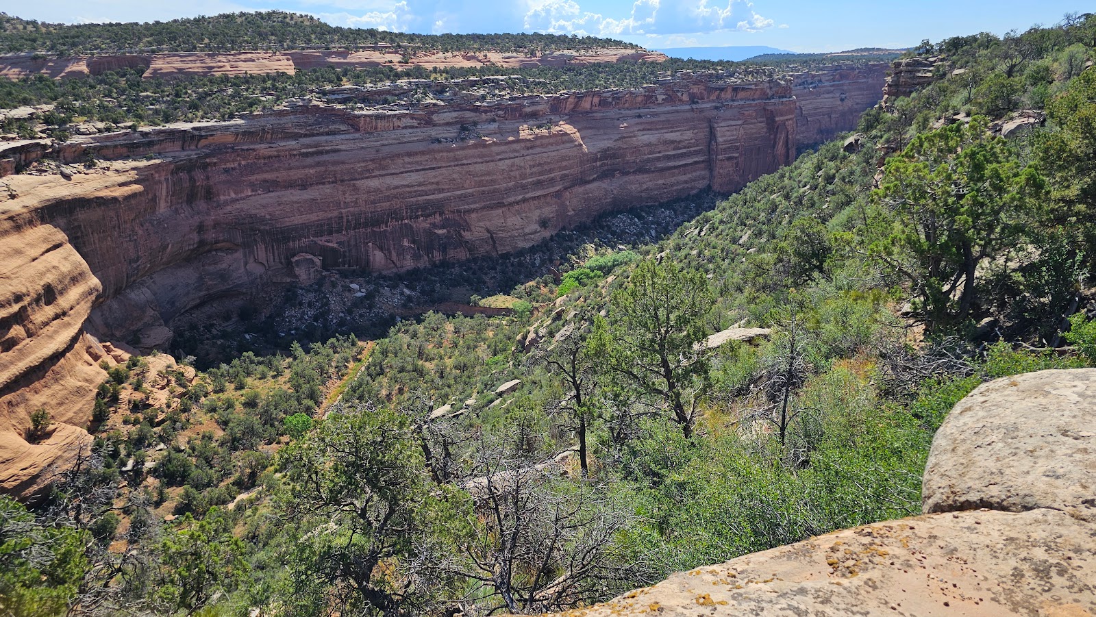
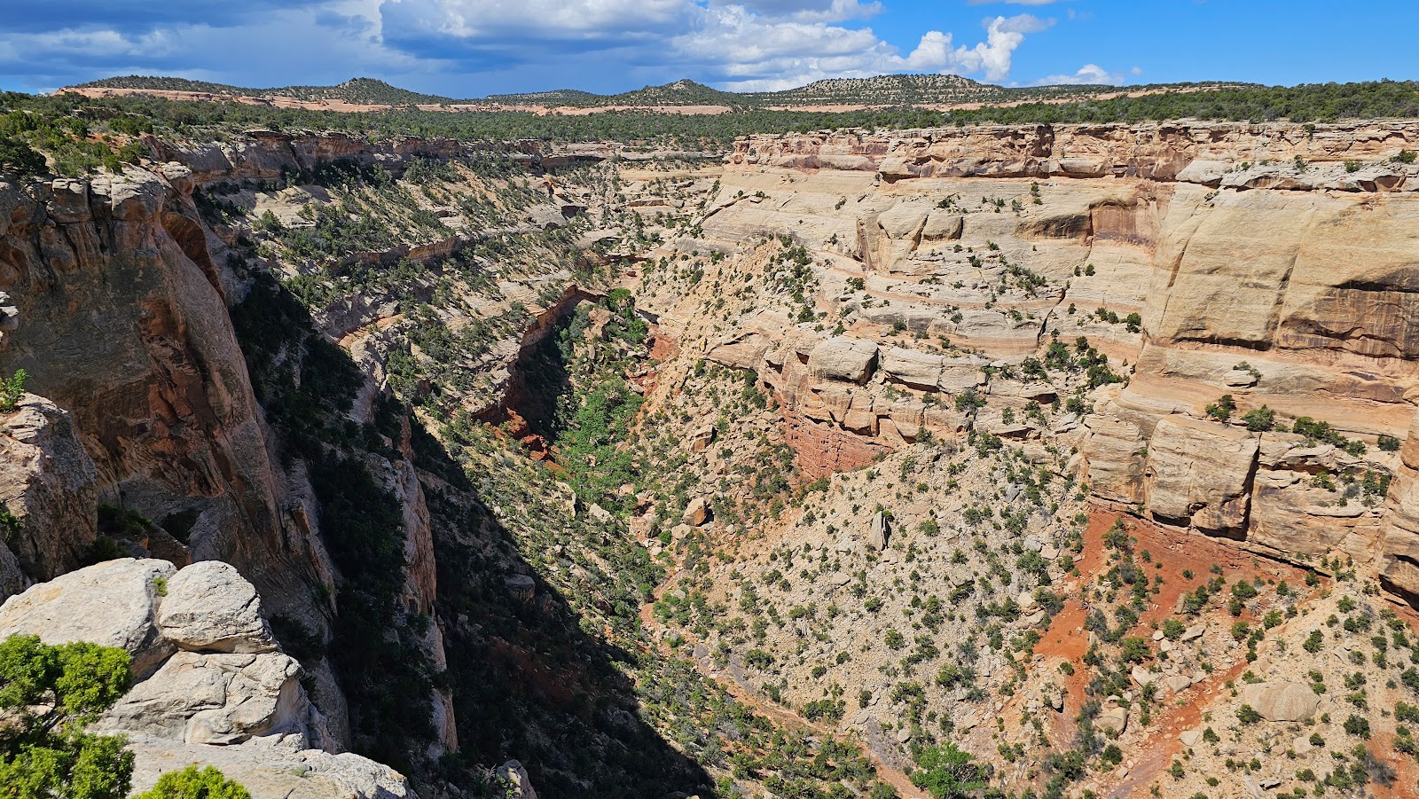
 Ute Canyon is a long narrow canyon.
 In addition to some nice canyon views...
 ...there was quite a bit of flora to be admired.
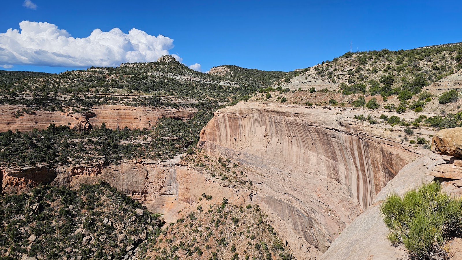
 Red Canyon (I know they're all starting to look the same) is different.
 With straight up and down walls on one side...
 ...and a terraced look on the other, it reminds me of a smaller Grand Canyon.
 Best naming of the day goes to Cold Shivers Point.
 Looking down into that deep canyon kind of gives me the shivers.
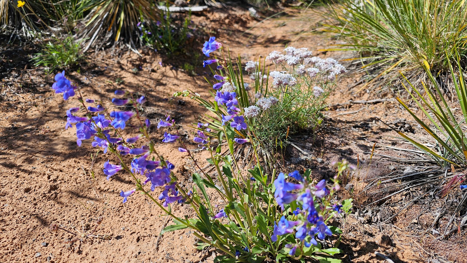
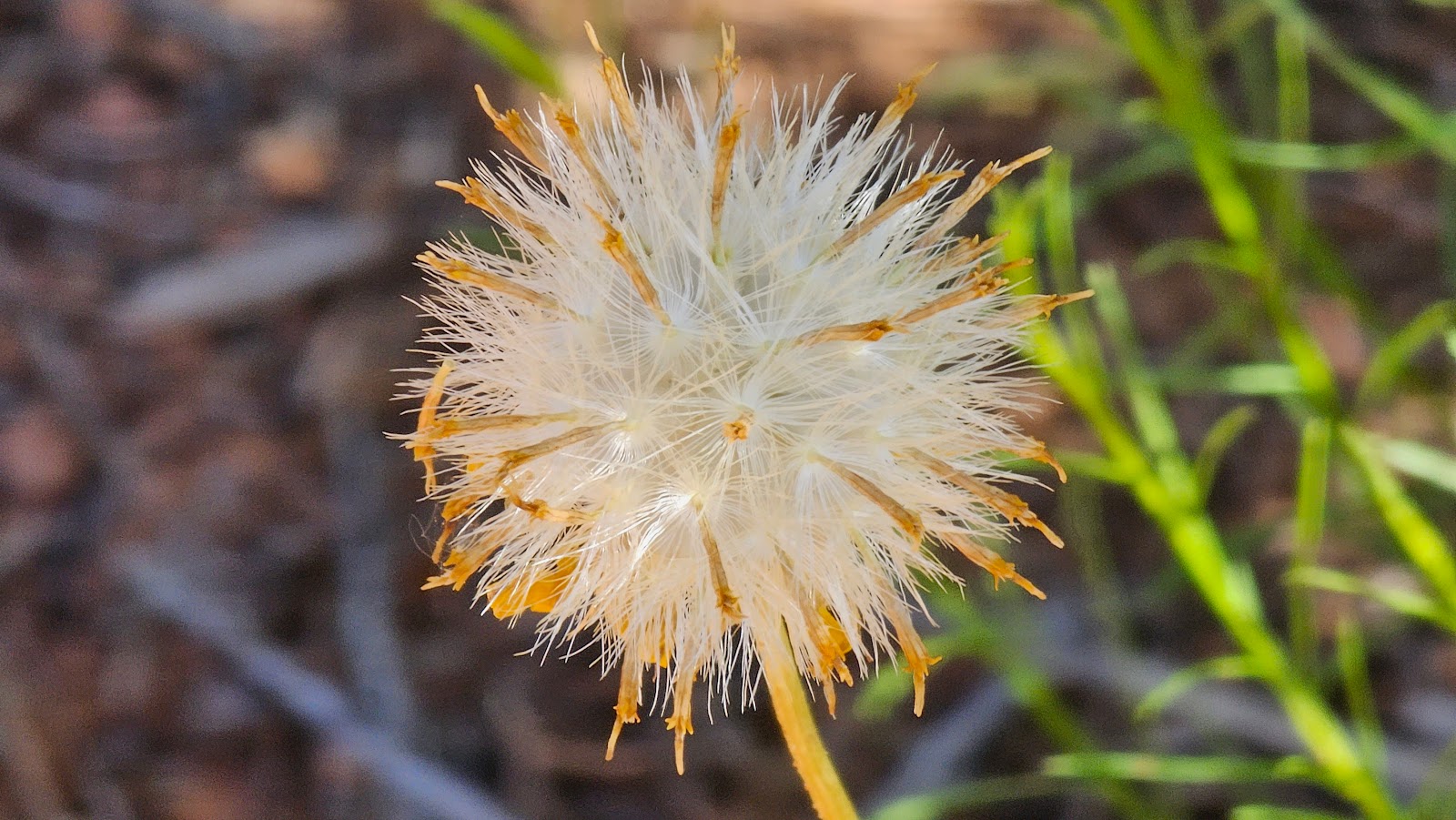
 But again it still has some beautiful flora to be seen.
 I'm seeing some switchbacks again, meaning we're nearing the end of the Scenic Drive.
 I think I see our next pullout down there.
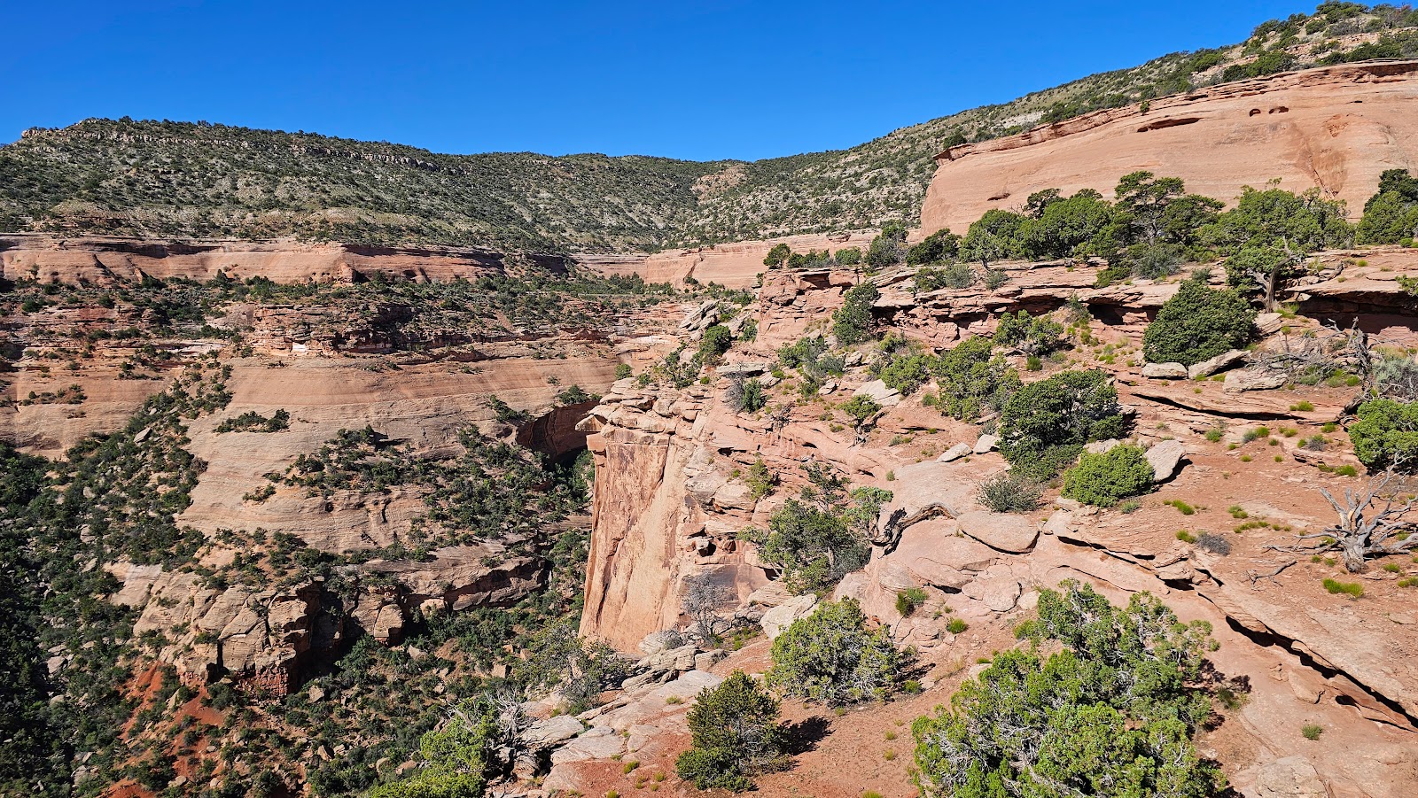
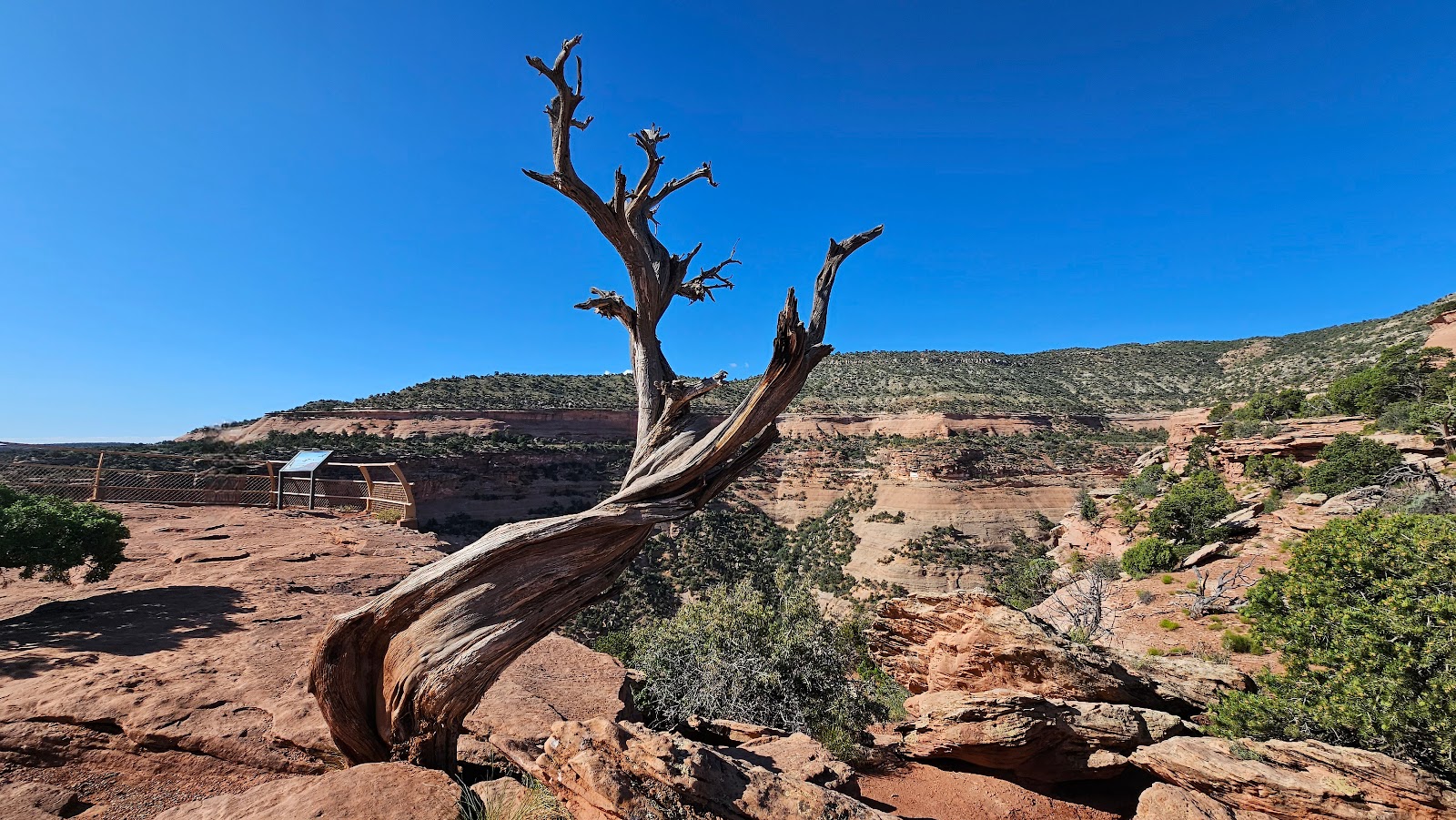
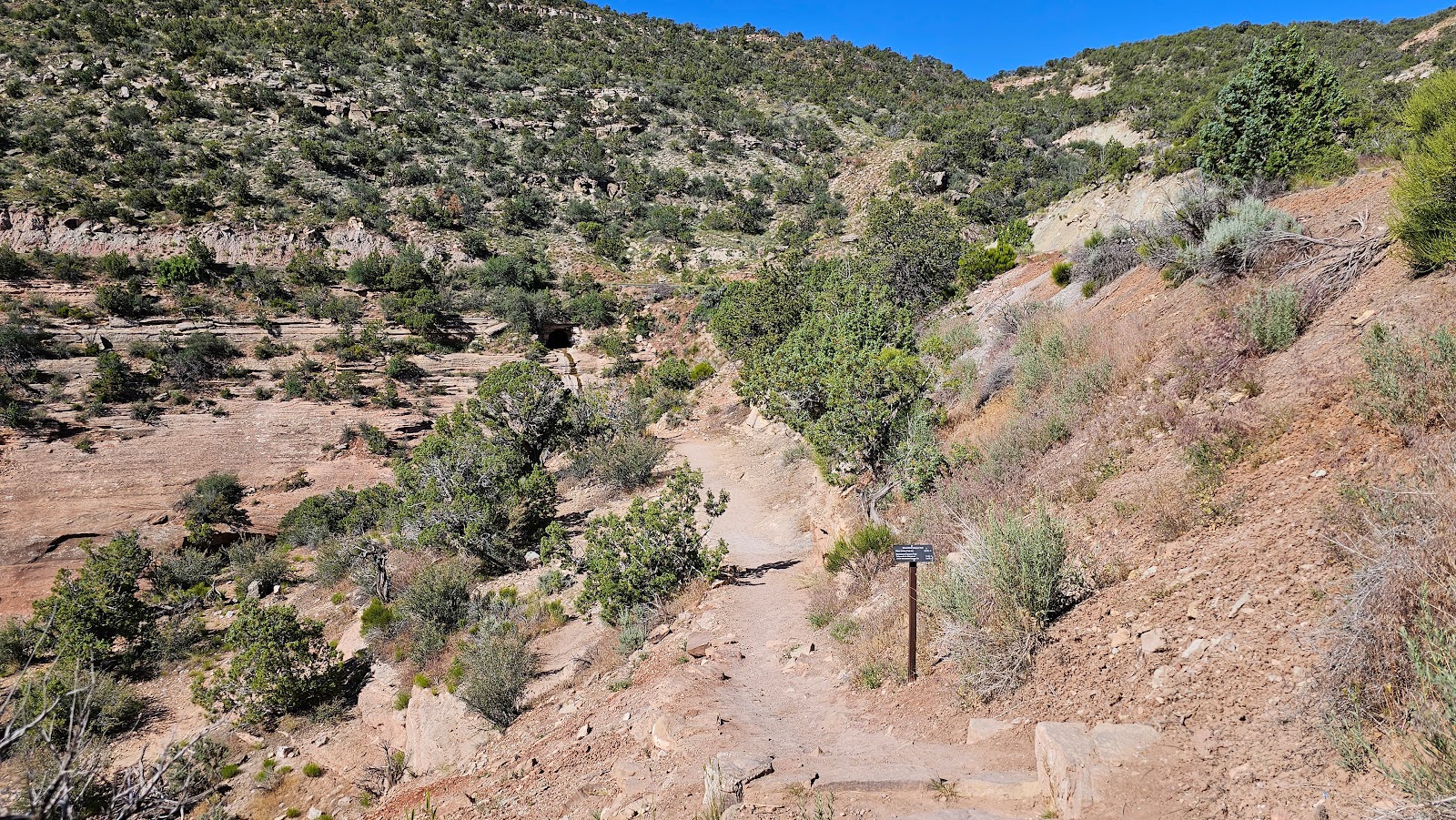
 This is the view from the Serpents Trailhead.
 Tricia decided to take a short walk down the trail to see what's there.
 Little did she know when she took this photo
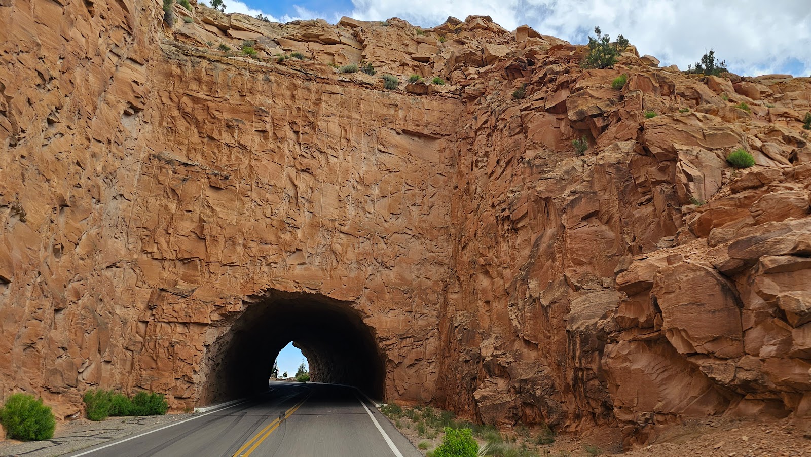
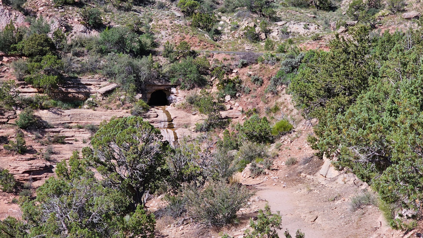
she was standing on top of another tunnel on this side of the park.
 This one looks a little bit longer than the other two...
 ...but we never lost sight of the light at the end of the tunnel.
After the drive and getting all of our errands completed in Grand Junction we took Interstate 70 the 13-miles back north to the town of Fruita and reentered the park from the east end.
We now have over $400 worth of "need to stay cold" groceries in the back seat and backtracking through the 1-hour Scenic Drive just doesn't work for us anymore.
But by reentering the park from the east end we were rewarded with the chance to see a few of the Desert Bighorn Sheep the park is noted for.
Nice photo Tricia, Desert Bighorn Sheep butt!
That's better!
Watch out for that next step there Junior, it's a doozy.
Dad was just across the street giving us the "don't mess with my wife and kid" look.
Five years ago when we started traveling we quickly realized we needed an information/contact card to hand out to people we meet while on the road. I realized this after the third person handed us "their card" and we had nothing to give them in return. So I quickly threw together a design with graphics I already had from the website and got them printed at Office Depot.
I had 500 of these cards printed and 5-years later we're down to our last ten cards. Two weeks from now we are attending another Airstream Rally, where there will be somewhere between
1200-1500 Airstreams.
I'm sure we won't meet every one of them over the course of 9 days, but I'm also sure we'll need more than 10 cards for the event.
What to do? Well, design a new and improved card of course, and then get them printed before our arrival.
I'm only getting 500 printed again and hope that when the rally is over I still have a few left. If not, there's a Staples location in town with Same Day Service, at a premium price of course.
That's what our "special errand" was for today, picking up our new cards at the Office Depot location here in Grand Junction, CO. Now we're ready for the rally to begin!
WEDNESDAY - We've got one more errand to take care of in town today and that's to visit the Post Office to pick up our General Delivery mail we had sent to ourselves.
I was beginning to get worried it wouldn't arrive before we leave tomorrow morning. I asked our mail forwarding company to send our mail last Monday, June 5th, a full 9 days ago! It was sent Priority Mail and still took 9 days to arrive, imagine if I had asked for it to be sent Standard First Class!
It's a little easier to understand why the big delay in getting here when you consider the route it took to get from Pensacola, FL to Fruita, CO.
After receiving our mail you'll be happy to know that
ROVER and
THE POD are both legal again, now that I've placed their registation renewal stickers on the plates. Technically, we been driving with expired tags for the last 10 days!
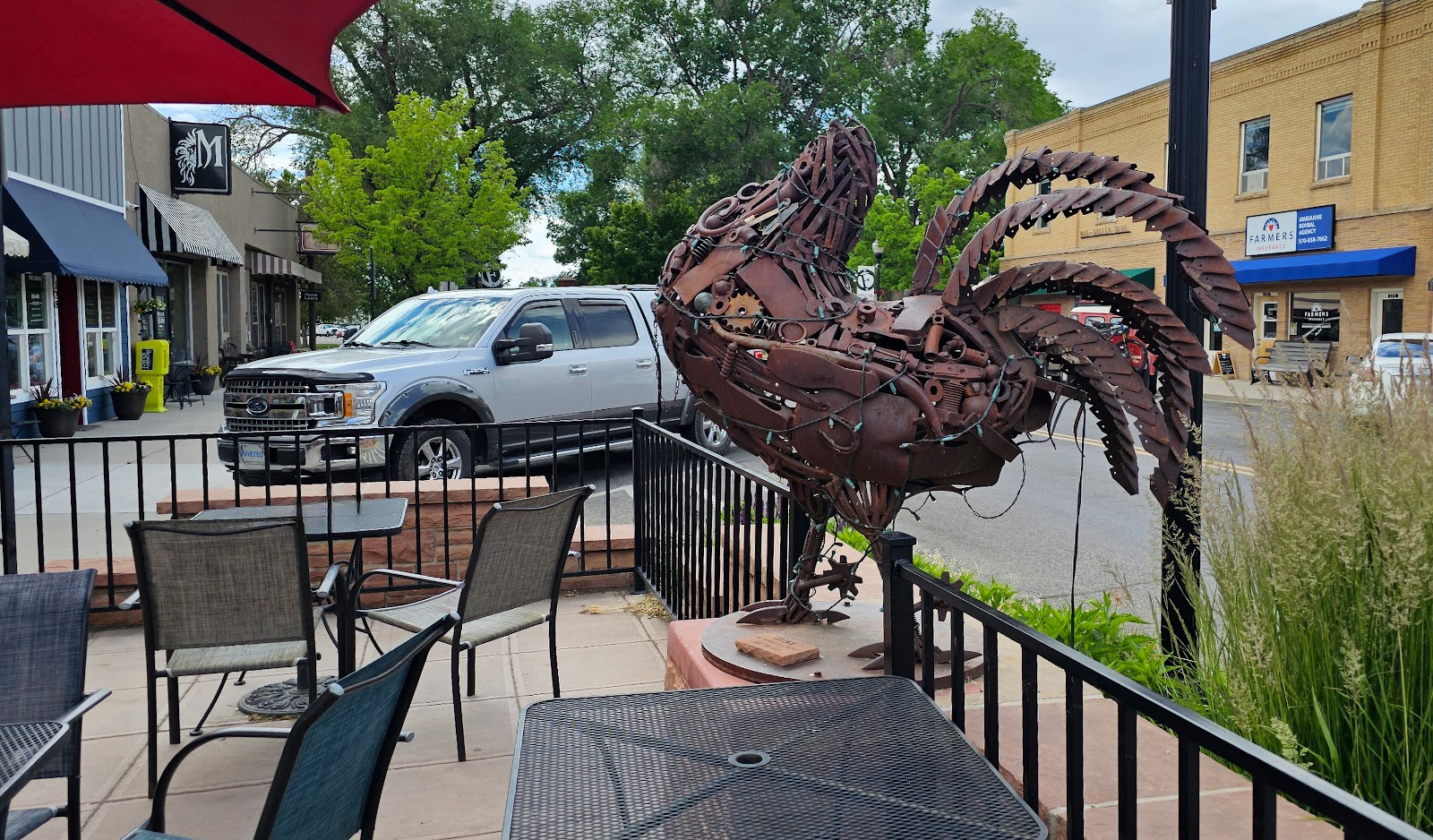
While we were in town and only a block away from the "Mike the Headless Chicken" Sculpture we just had to go check it out.
It's a true story! "Mike the Headless Chicken" lived for 18-months after the night he was beheaded and scheduled to be dinner. If you're interested you can read all about him
HERE.
Would you like to be notified of new blog posts?