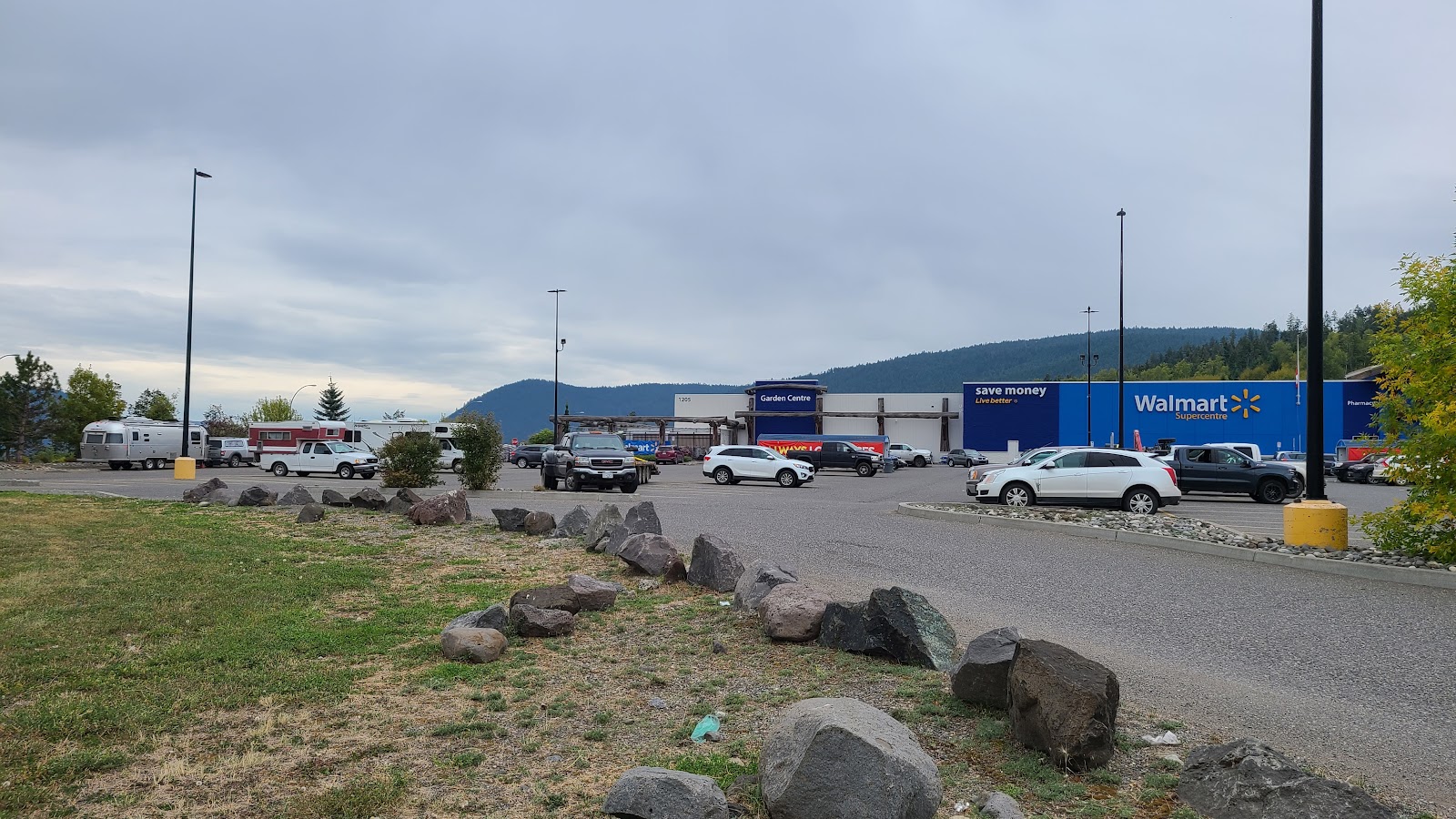
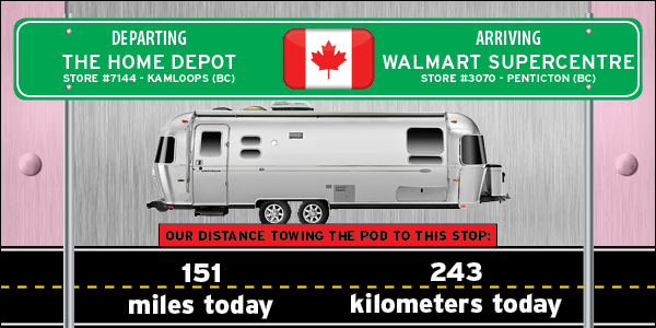
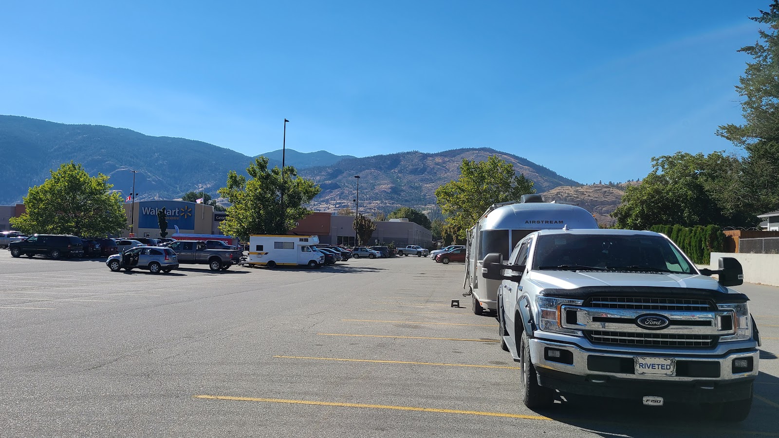
Showing posts with label • BRITISH COLUMBIA. Show all posts

CANADA: THE OKANAGAN HIGHWAY


SUNDAY

WALMART SUPERCENTRE


STORE #3070 - PENTICTON, BC

BRITISH COLUMBIA

DESTINATION: THE LOWER 48

97% 3
COMPLETED - 1310 miles=(2108 kilometers)39 miles=(63 kilometers) - STILL TO GO

The Canadians sure do have a propensity for wanting to give their highways nicknames. The 117-mile long stretch of Highway 97 from Vernon to just past Osoyoos at the U.S./Canadian border is known as the Okanagan Highway.

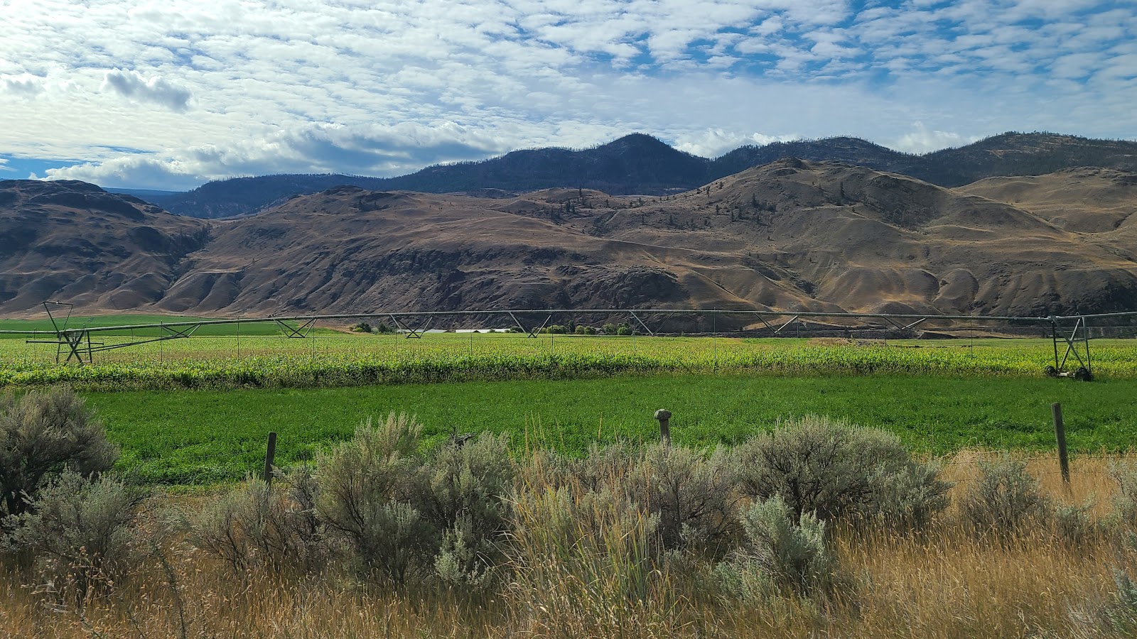
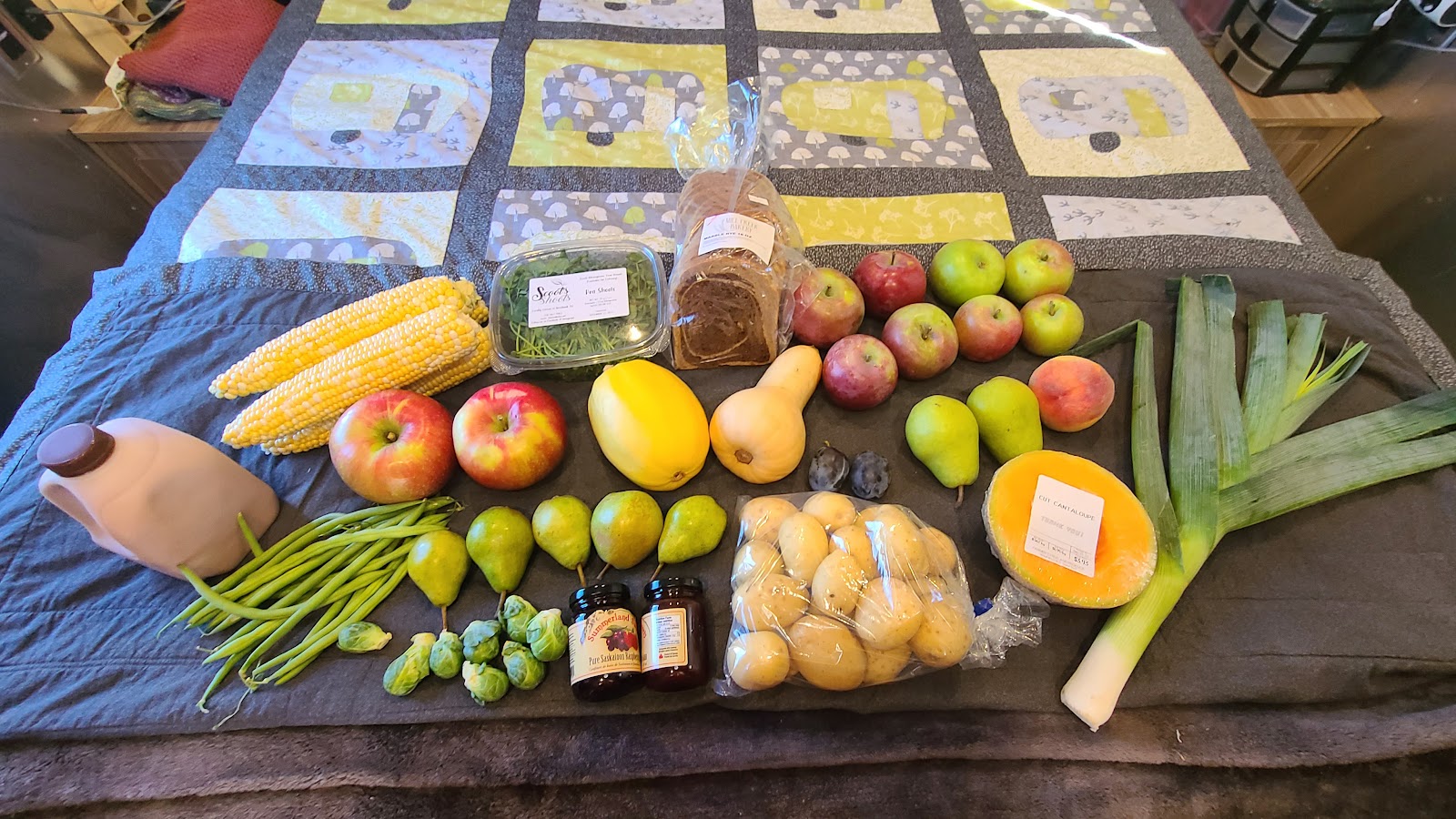
We've read that some of the finest fruit and vegetables grown in Canada are from this region. By the shear number of wineries and fruit stands we passed on the road today I think I would have to agree. We stopped at two farmer/fruit stands today and scored a bounty of fresh food.


Now it's time for all you retail gurus to guess what we spent on all this farm fresh food today.
The one who guesses closest wins a prize!


Make your guess in U.S. dollars, because I've already done the conversion from Canadian.


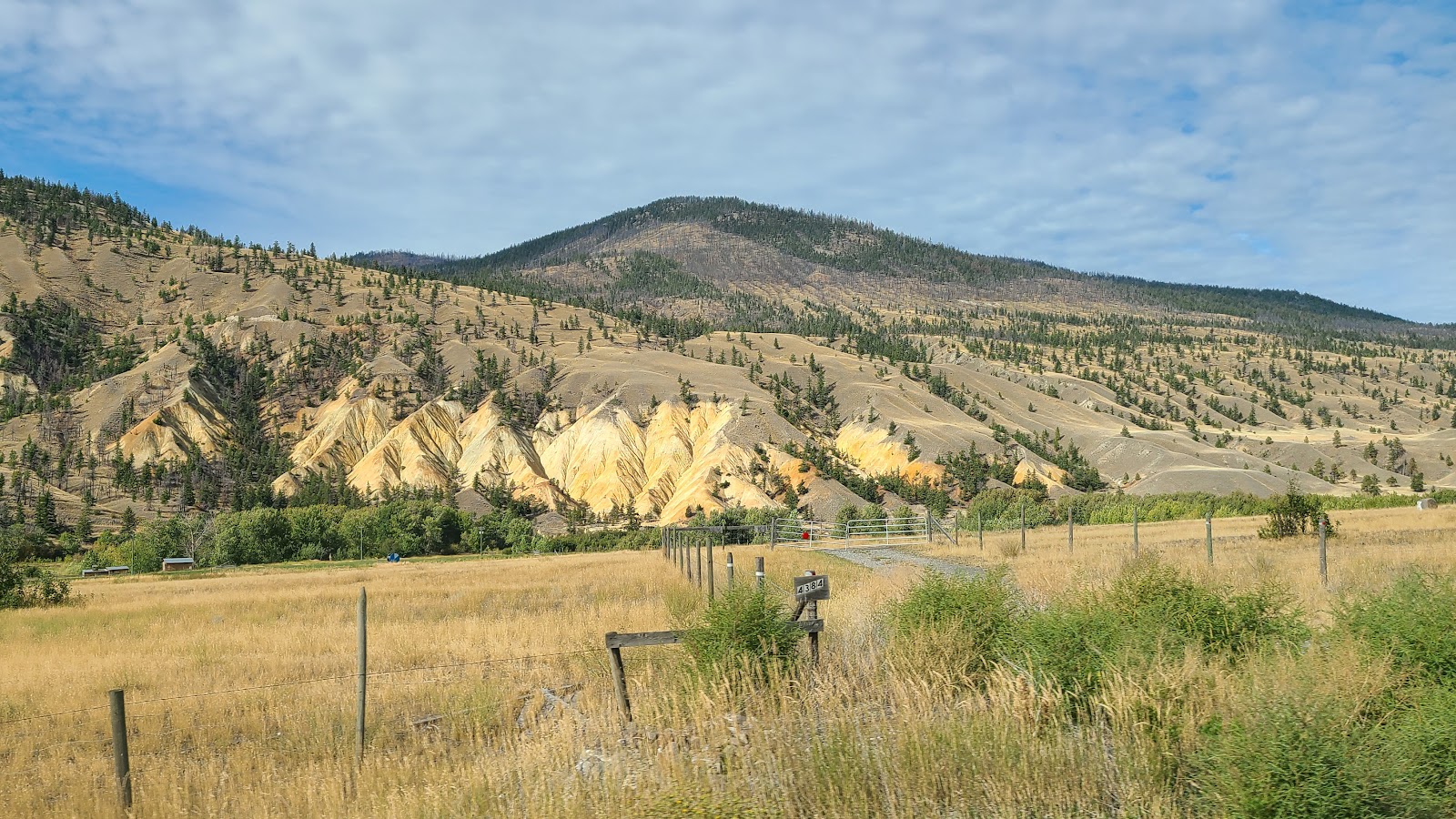
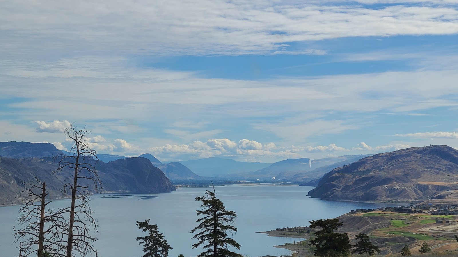
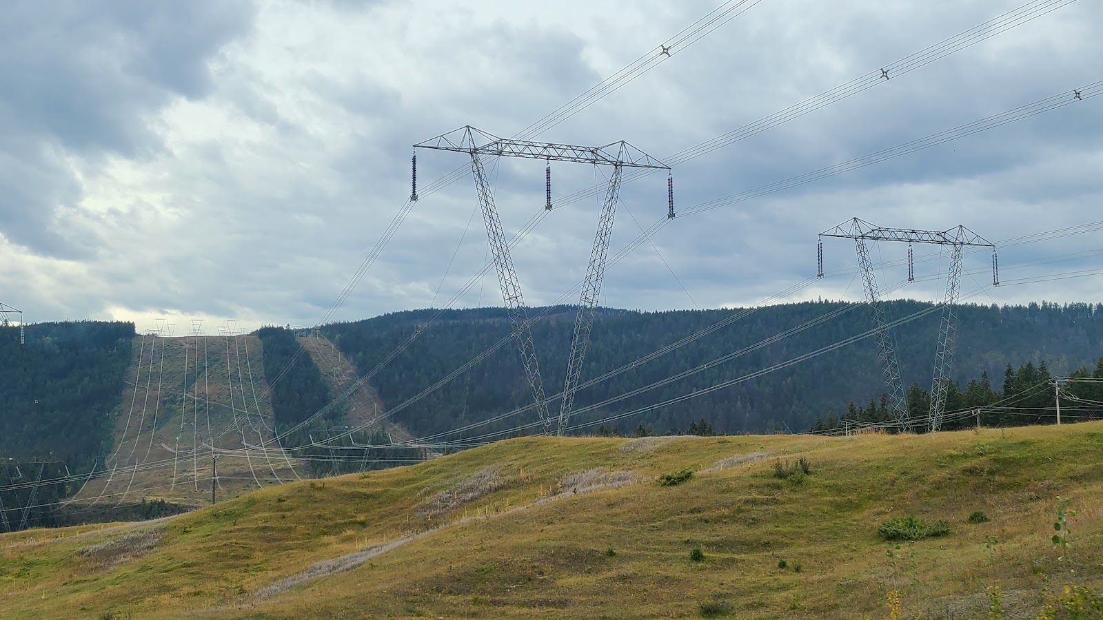
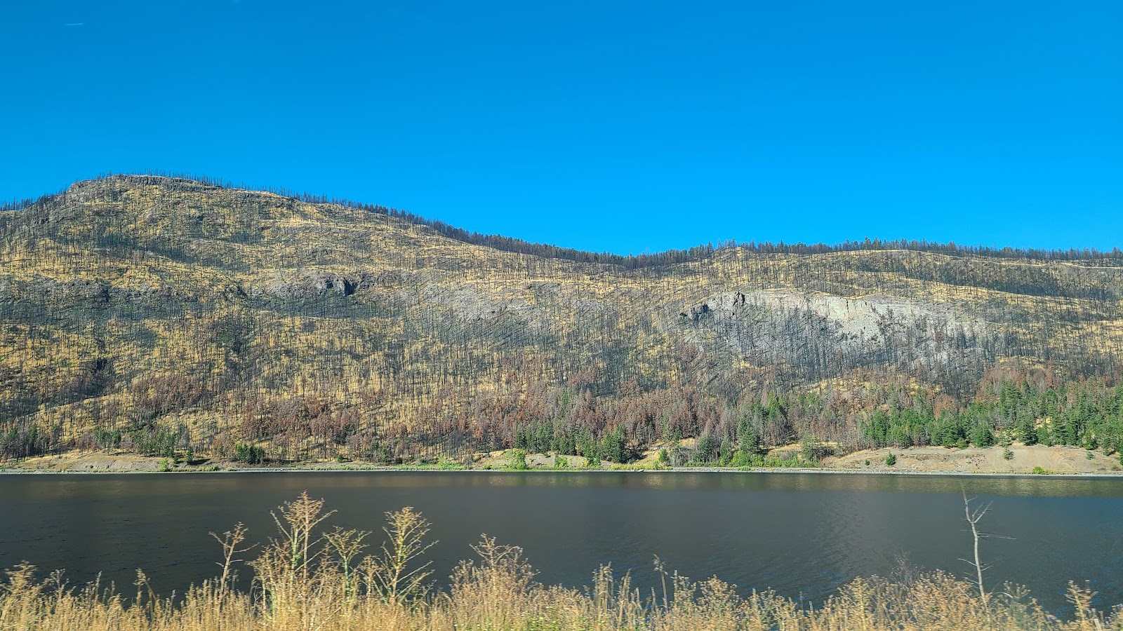
When we first turned south on Route BC-97 today we saw the aftermath of a rather large forest fire they previously experienced in this region. Nearly every tree was burnt to a crisp for over two miles of our highway travels. It was sad to see and must have been horrifing to have lived through it. The fire jumped over that rather large body of water and the roadway because both sides of this small canyon were burnt.

A little farther down the road and it was as if nothing bad had ever happened. We even saw a few trees with redish fall colors at the top.

We only passed through two better than average sized towns today, the first one being Vernon, which is the northern end of the Okanagan Highway. This is where we stopped at the first of two farm stand stores and purchased half of what you saw in the photo above.


The town of Vernon goes all out to beautify their downtown streets.


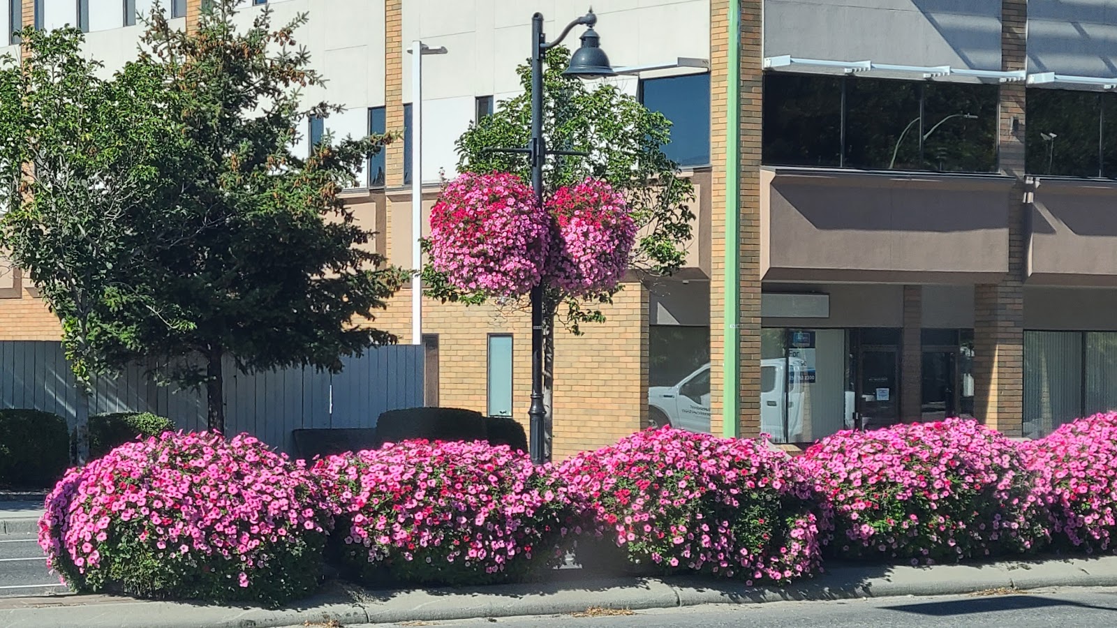
Everywhere you looked there were flowers.


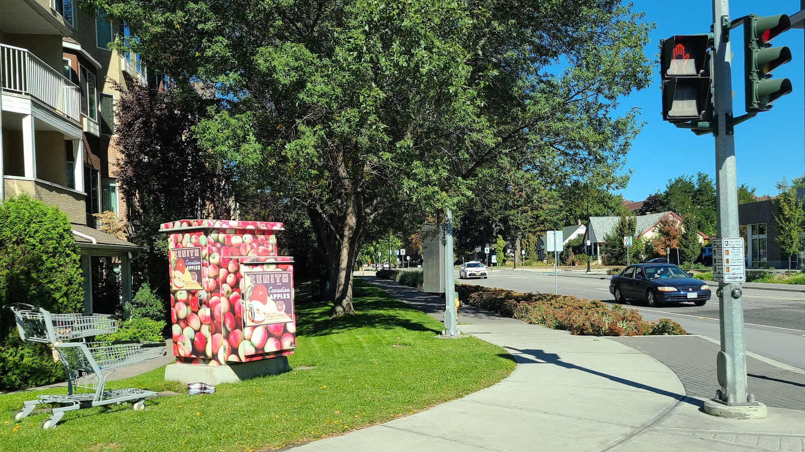
Traffic control boxes get wrapped in an apple print to make them blend into the scenery.


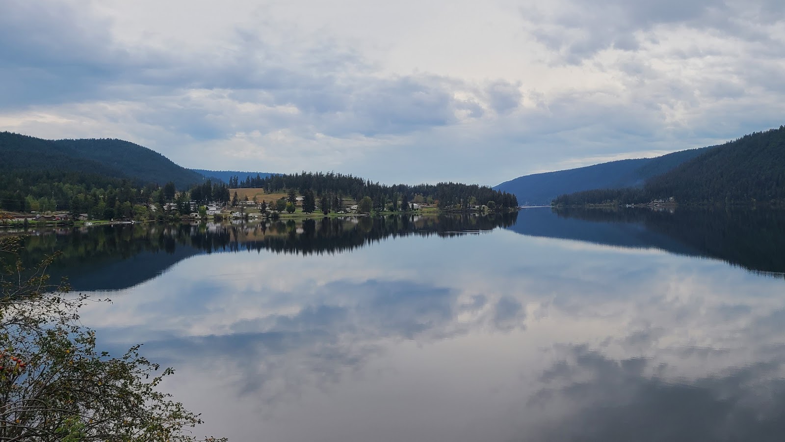
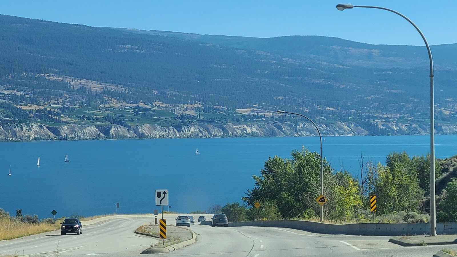
The next large town we passed through headed south was Kelowna. Kelowna is at the center of the 84-mile long Okanagan Lake which is 2½ to 3-miles wide at most spots. Vernon is the north end of the lake and Penticton, where we are planning to spend the night, is at the south end of the lake.

When traveling this region you'll need to make up your mind which side of the lake you want to be on because there's only one bridge over the lake and that's in Kelowna, right in the middle.


Another long sloping entrance drive into the town of Kelowna.


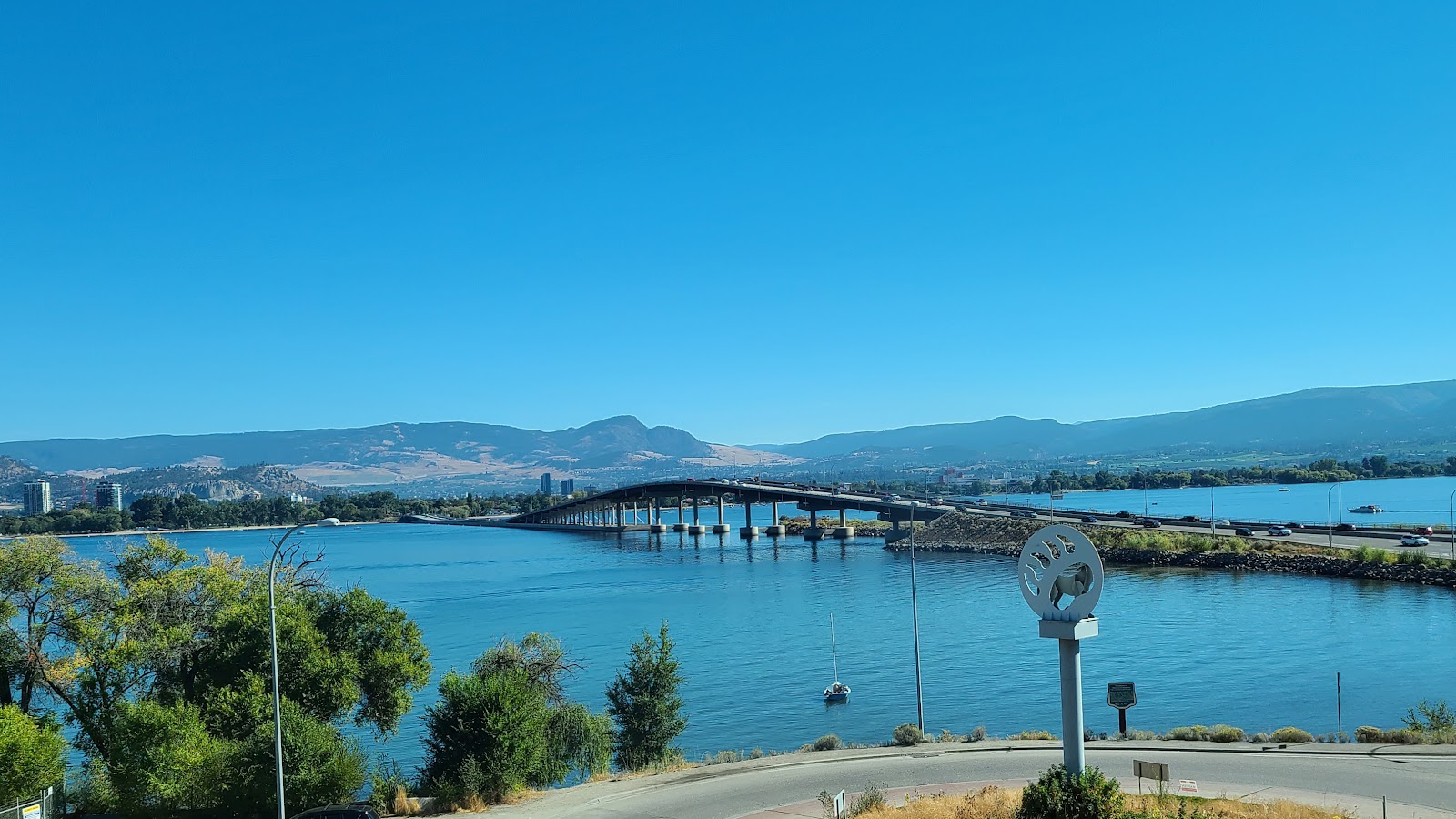
William R. Bennett Bridge, a former Premier of British Columbia and native of Kelowna.


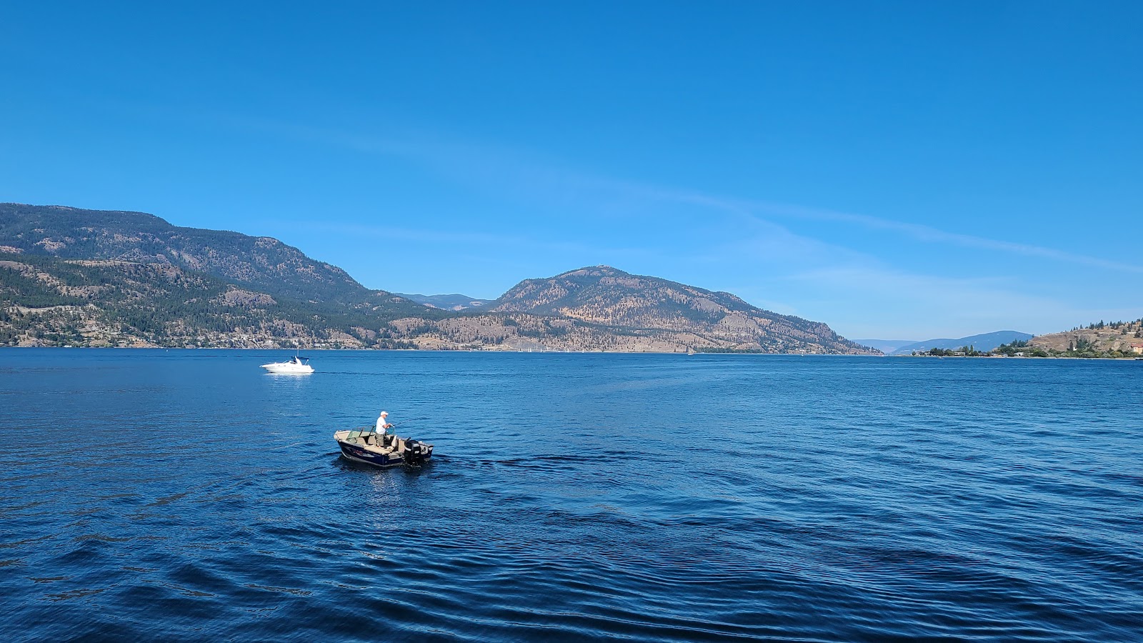
What do you do if you live in Kelowna on a beautiful Sunday afternoon in September?


Or maybe you're more into sailing up and down the 84-mile lake.


Just on the other side of the bridge is West Kelowna. This is where we stopped at the second farm stand store, Paynter's Fruit Market, which had a much larger selection and you can see the groves and gardens where the fruit and vegetables are grown right behind the market.


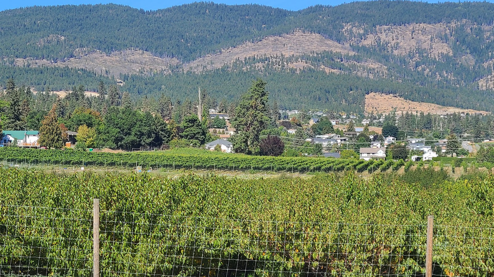
Right behind the market are acres of product being grown fresh for your selections.


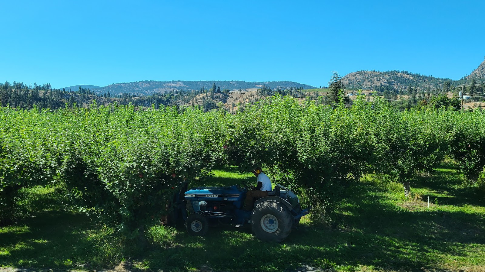
Even today in late September they were out working the fields.


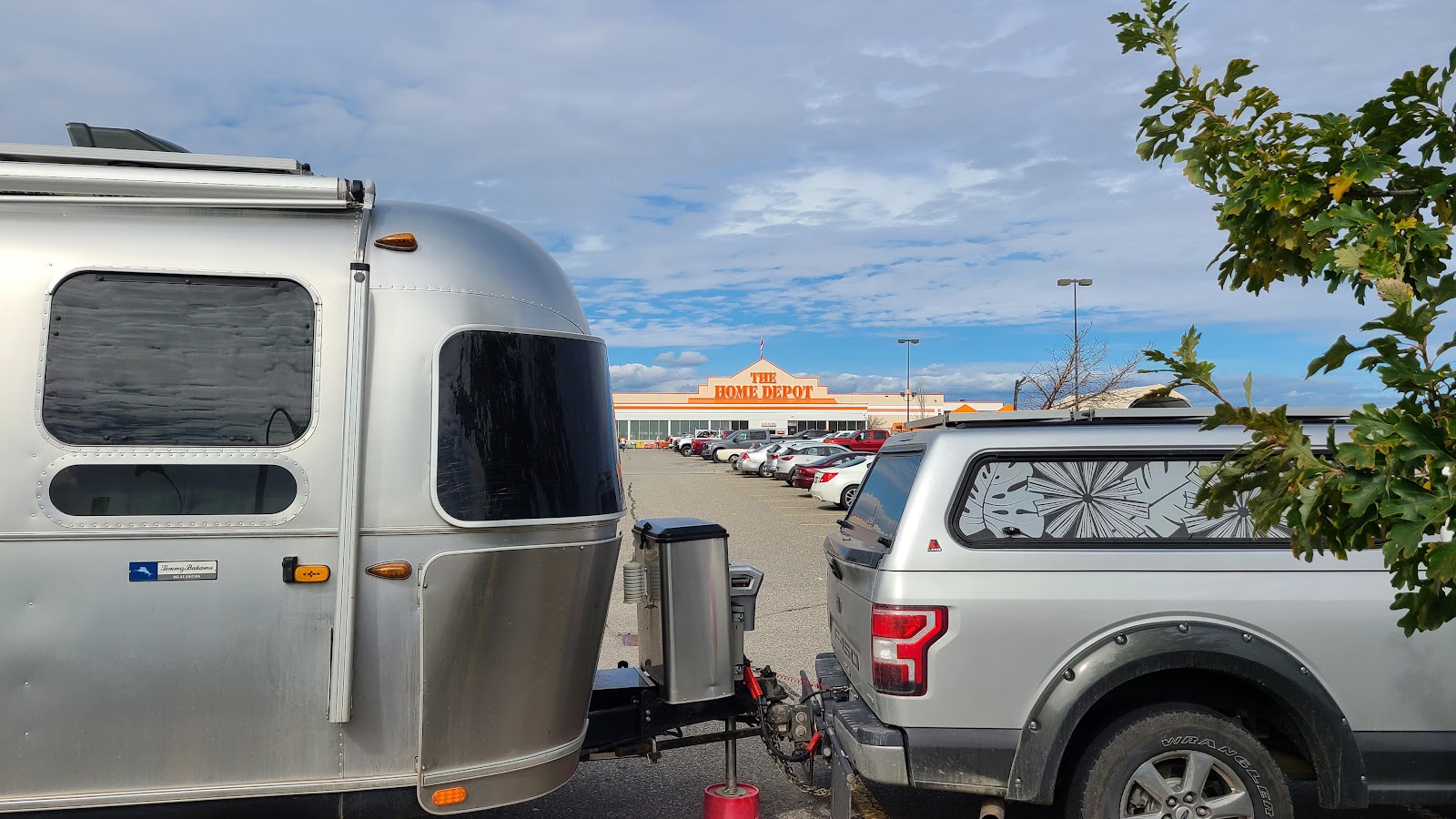
A short while later and we were looking for the cheapest gas in Penticton and it just so happens to be located across the street from Walmart, where we plan to spend our final night in Canada (this season anyway).

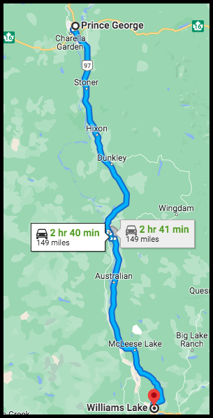
If all goes according to plan we'll travel the final 39-miles down BC-97 and cross the border into the state of Washington and the Good Ole' U.S. of A, thus ending our summer north of the border.


Would you like to be notified of new blog posts?


We encourage everyone
to leave their comments
in our Facebook Group!


We would really like to hear from you!


Until next time

TWO PEAS


CANADA: CARIBOO HIGHWAY (SOUTHERN ½)


SATURDAY

THE HOME DEPOT


STORE #7144 - KAMLOOPS, BC

BRITISH COLUMBIA

DESTINATION: THE LOWER 48

86% 14%
COMPLETED - 1162 miles=(1870 kilometers)187 miles=(301 kilometers) - STILL TO GO


There was still a heavy fog over Williams Lake as we started our travels today at 9:00AM.


An hour later we had left the fog behind and faced clear blue skies for the rest of the day.

The first ¾ of today's route we were still traveling south on the Cariboo Highway, passing through communities like 150 Mile House, 100 Mile House and 70 Mile House. There were other communities with Mile House in their names like 141, 122 and 108 Mile House.

These are all names that inform a stampeder how far north of the roadhouse in Lillooet (Mile 0) they had traveled. These names of course were first used back in the 1850s when thousands of men were headed north in search of gold, which is why this stretch of road is also referred to as The Gold Rush Trail.


A LITTLE BIT OF HISTORY:
I started thinking, wait a minute, why are all these names in miles?
Hasn't Canada always been a "metric" nation?
Shouldn't they be called 241 Kilometer House and so forth?

Turns out Canada didn't officially become a fully metric nation until the 1970s, although it had been widely practiced here since the 1870s. The naming of these towns along the Gold Rush Trail predate the metric usage in Canada by 20-years. I found an interesting article that was written just last month, if you care to read it I'll place a LINK HERE.

DID YOU KNOW the United States, Myanmar (formerly known as Burma) in Southeast Asia and Liberia on the West African coast are the only countries in the world who use the Imperial System for Measures (i.e. miles-yards-feet-inches, gallons-quarts-pints and tons-pounds-ounces and such)?


Approaching the town of Clinton on a 4-mile long 8% downward slope. That'll test your brakes!


Once we reach the southern end of the Cariboo Highway in Cache Creek we will turn left again and begin traveling east on the Trans-Canada Highway 1 for the last ¼ of today's route.

This is where the landscape made a dramatic change. We were no longer traveling north/south down through a wide valley between two mountain ranges. We were now traveling east/west and going across the grain so to speak, traveling up and over the mountains we've been seeing all day.


It's hard to believe there's still corn in the fields, I imagine they'll be harvesting it soon.


A small glimpse of the 300+ mile long Thompson River along Trans-Canada Highway 1.


Upon arriving in Kamloops, BC we did what we usually do, filled ROVER with gasoline before parking for the night and then checked to see if there was anything interesting within walking distance of our location.

In order to break up our chain of nights in Walmart parking lots I called ahead to The Home Depot Store here in town. I asked if I would be permitted to park overnight in their parking lot and was told as long as it was for "just one night" it would be fine. Thanks Home Depot!

Of course when I arrived I went inside and got the name of the manager I spoke with, just in case any problems arise later in the evening. I'm hoping there is a lot less activity in this parking lot tonight than we seem to be experiencing in the Walmart parking lots.


Would you like to be notified of new blog posts?


We encourage everyone
to leave their comments
in our Facebook Group!


We would really like to hear from you!


Until next time

TWO PEAS


CANADA: CARIBOO HIGHWAY (NORTHERN ½)


FRIDAY

WALMART SUPERCENTRE


STORE #1106 - WILLIAMS LAKE, BC

BRITISH COLUMBIA

DESTINATION: THE LOWER 48

73% 27%
COMPLETED - 985 miles=(1585 kilometers)364 miles=(586 kilometers) - STILL TO GO

Today we'll be traveling south on BC-97, nicknamed the Cariboo Highway, which runs from Prince George to Cache Creek in British Columbia.

We'll be covering the northern half of the Highway today and finishing it up tomorrow. Today's travels will find us passing through communities with names like Stoner, Woodpecker, Dragon and my favorite, Soda Creek.

This entire region is known as the Fraser Plateau.


While this region is pretty, it's just can't be compared with the scenery we've been traveling through for the last few months.

That's why you won't see any awesome pictures in this post, because nothing really inspired Tricia to raise her camera and "snap a photo" to save the memory.

Even as the driver, I usually spot something that grabs my attention, other than the road. That didn't happen too often today.

Only once did I pull off the road and suggest we take a photo of the scenery. That was in a small rest area overlooking McLeese Lake, close to the half way point of our drive today.

Besides, they had toilets there and I had to go.


McLeese Lake as seen from the Rest Area overlook.

Before we arrived at McLeese Lake however, we passed through what would prove to be the only city on our route today, Quesnel (pop. 23,146).


Quesnel was a major commercial centre of the Cariboo Gold Rush in the 1850s.


Just like yesterday we saw more horses, cows and hay, but there were also two new sights to behold. The first being high voltage transmission lines delivering electricity to the entire region. They kept switching from the left side of the road to the right and managed to find their way into many of the pictures Tricia took today.

The second everpresent sight for the day was the BC Rail. That's short for British Columbia Railway and it managed to stealthily switch from one side of the road to the other many times. During the entire drive not once did ROVER and THE POD have to slow down to negotiate a railroad crossing.

Every time the railroad switched sides, the road either passed over the tracks or the tracks passed over the road. That bit of engineering was very much appreciated by us roadway travelers.


We saw many of these odd looking train cars. Any idea what they're used for?

We saw many trucks hauling exremely long logs all along the road. We also saw many large industrial plants with huge piles of these logs stacked outside as high as a three story building.

We never put two and two together until we saw one of these odd looking train cars filled with lumber from the several saw mills we had passed along the way.


We arrived in Williams Lake, BC right around noontime and refilled ROVER's gas tank before quickly getting set up along the outer edge of the Walmart parking lot. We weren't the only RV in the parking lot!

This Walmart Supercentre is perched high up on a hill overlooking the city of Williams Lake, BC (pop. 10,947). We have a pretty decent view outside our rear dinette window of the city down below. I'll bet it gets even prettier when all the city lights come on after the sun goes down and it gets dark.

That's right I said dark! We are far enough into the season and far enough south that it actually starts to get dark at the very reasonable hour of 7:30PM. I think we can stay up that late to see the lights come on. Too bad we never got to see the Northern Lights show themselves though.


Would you like to be notified of new blog posts?


We encourage everyone
to leave their comments
in our Facebook Group!


We would really like to hear from you!


Until next time

TWO PEAS