

SATURDAY |
KINASKAN LAKE |
 BRITISH COLUMBIA BRITISH COLUMBIA |
DESTINATION: THE LOWER 48
| 17% | 83% |
|---|---|
| COMPLETED - 237 miles=(381 kilometers) ⟺ 1112 miles=(1789 kilometers) - STILL TO GO |
|---|
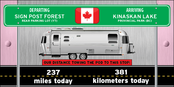
We have a longer than normal travel day planned for today, so it was up early and on the road by 8:00AM.
First thing we had to do was move ROVER and THE POD across the street to the gas station/grocery store/cafe/laundromat to get a big breakfast, we don't want me getting hungry while driving down the road.
Next we had to backtrack 13-miles west on the Alaskan Highway to get to the northern entrance of the Cassiar Highway (BC Route 37).
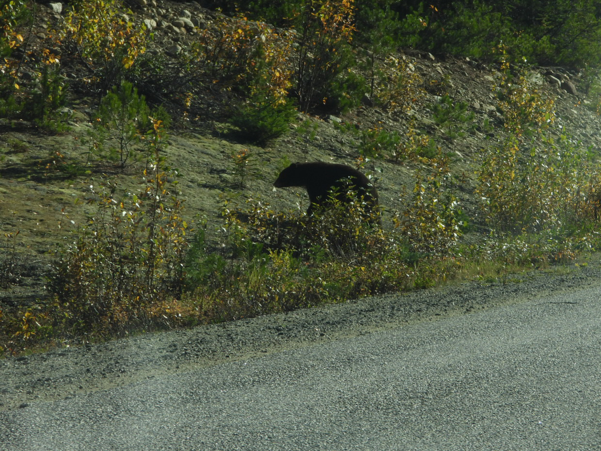
It wasn't long before we had our first of two black bear sightings along the road today.

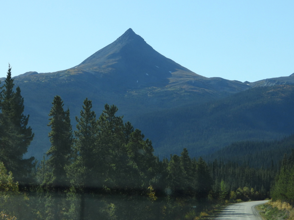
But if you stay alert and watch the road, it does make for a very scenic drive.


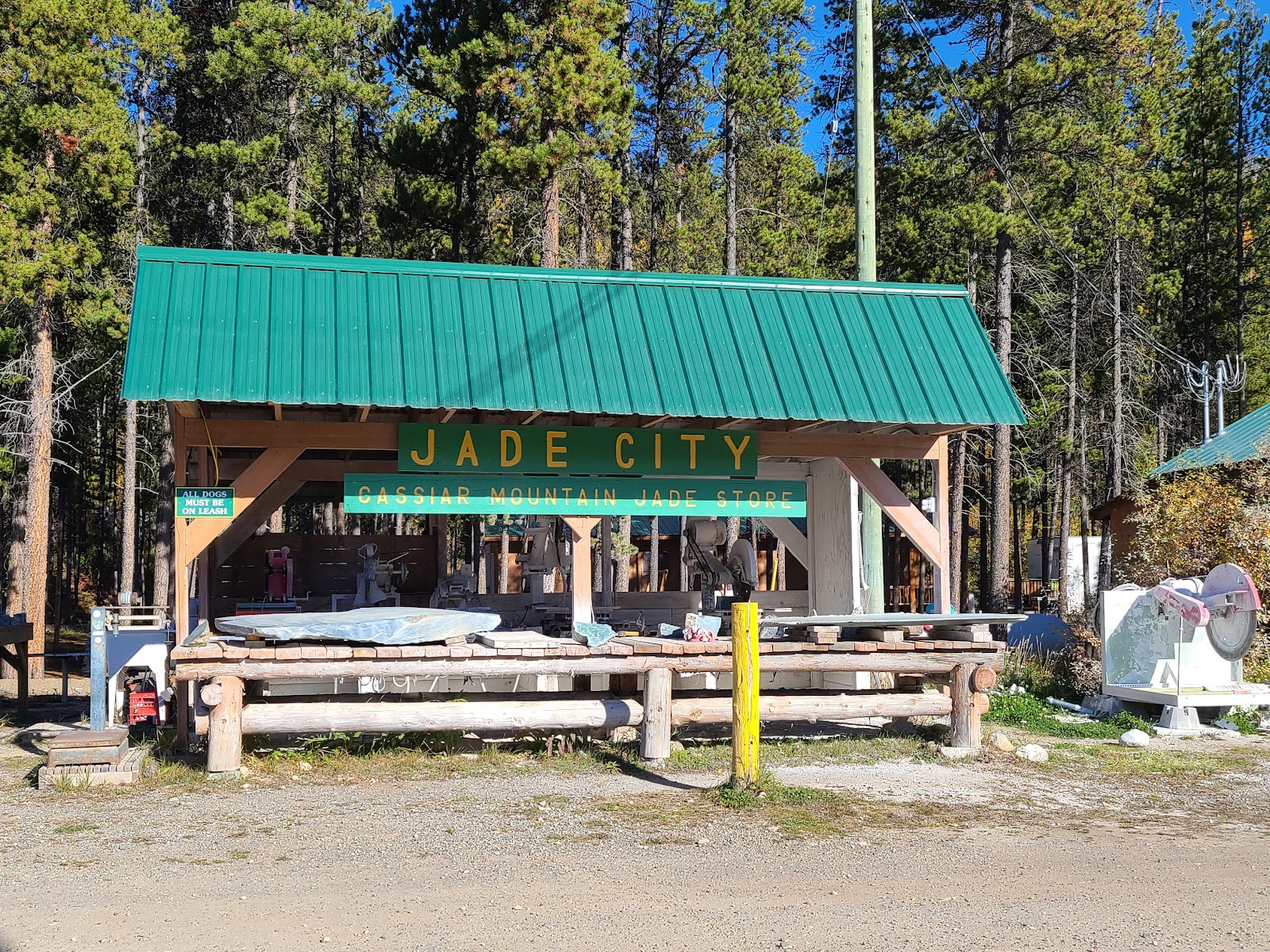
They have so much product here they leave some of it unattended outdoors at night.
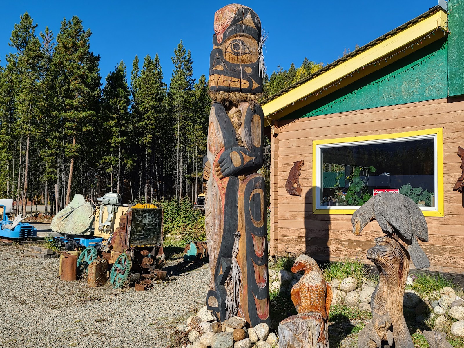
They also have some wood carvings out in front of the store that I found interesting.
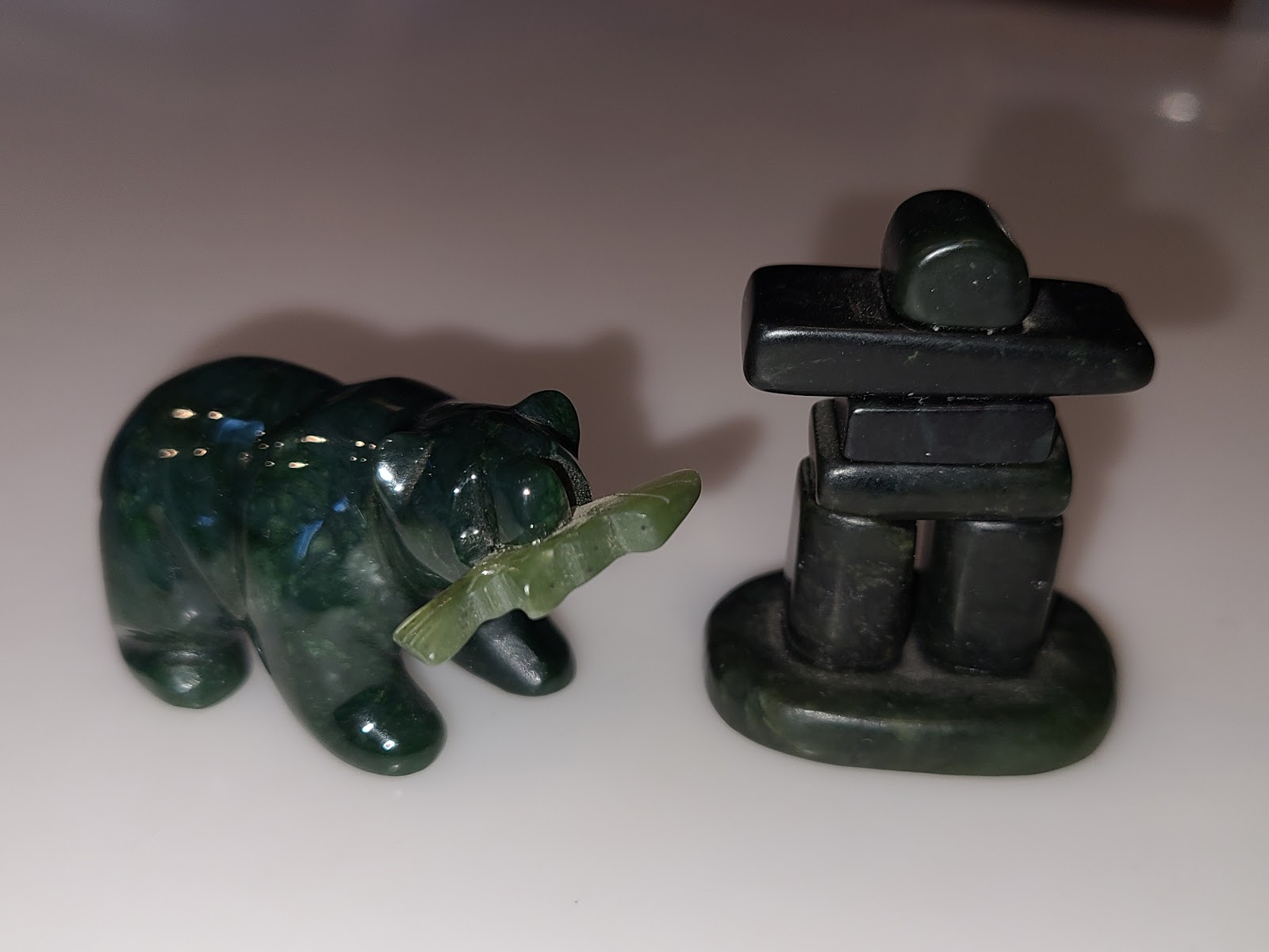
Of course Tricia now has two new pieces to add to her little curio cabinet on her nightstand.
The item on the left is obviosly a grizzly bear with a salmon in it's mouth.
The item on the right is called an "inuksuk", a First Nation word meaning rock cairn,
used as a marker for travel routes, fishing places, burial grounds or to mark a food cache.
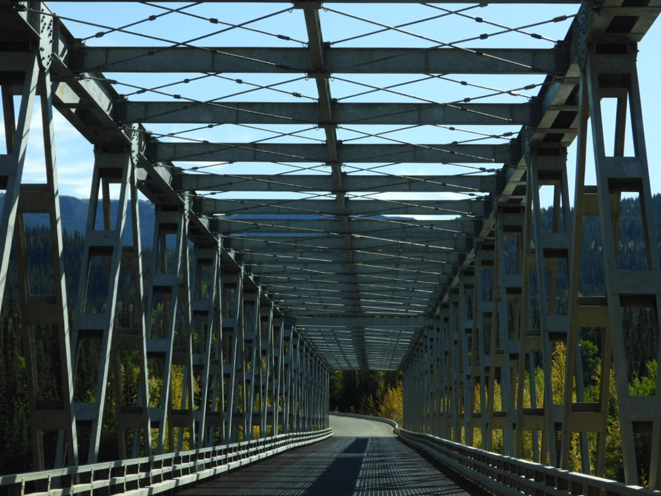
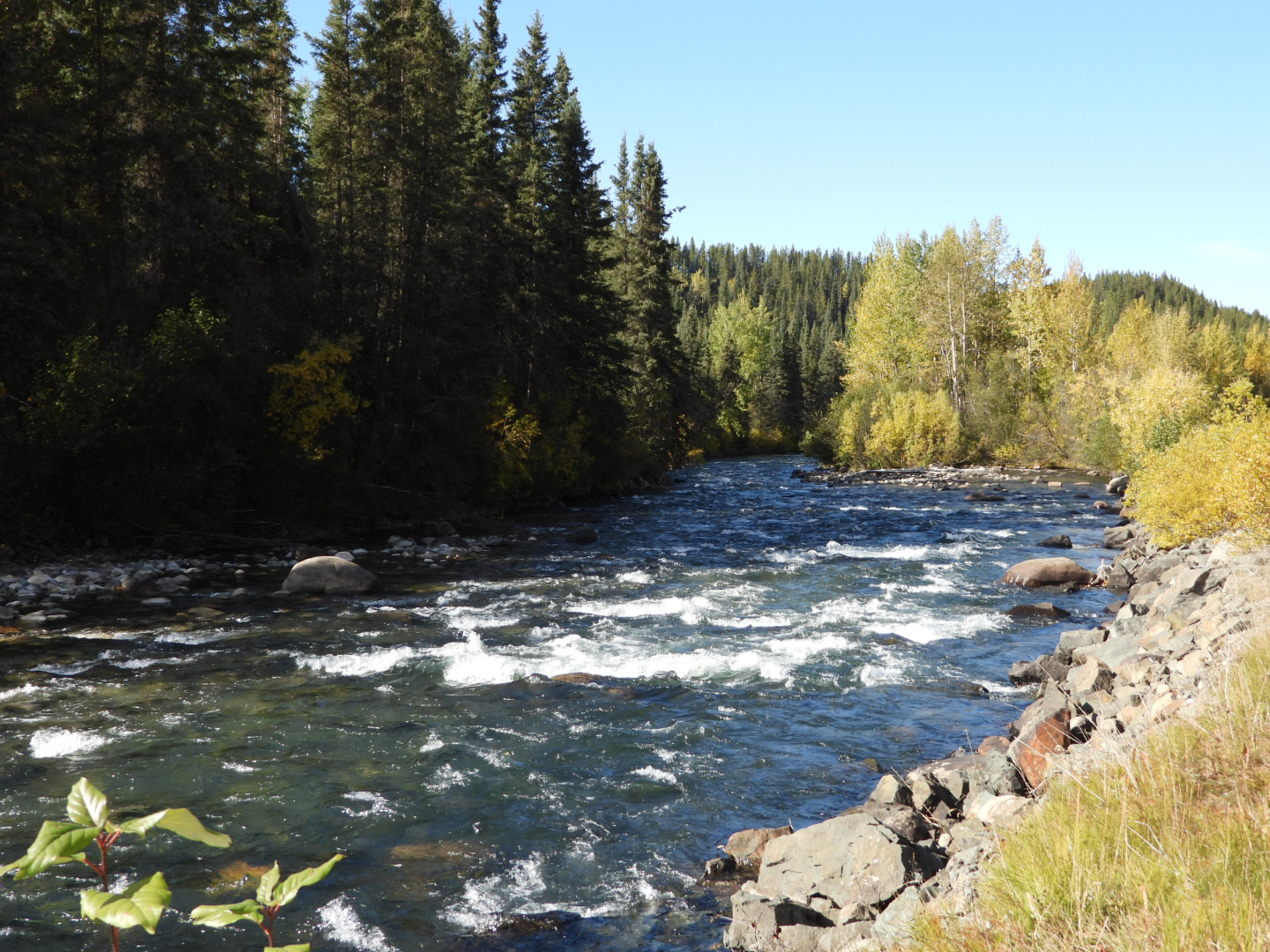
Our second bear sighting came just before going over a bridge spanning a very swift moving river beneath it. There were many bridges over rivers today, so I'm not sure which one this was.
With 75-miles still to go to reach our destination I notice that pressure was building in my ears, Tricia noticed it too. I knew we had been steadily going uphill for a while. At the same time I noticed that our MPG had been slowly declining. We soon found out why!
The highest point on the entire 450-mile long Cassiar Highway is at Gnat Pass (elevation 4071 feet) and we just passed a sign telling us we were there.

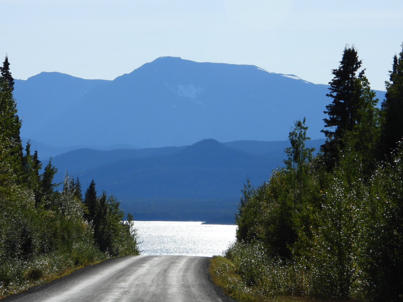
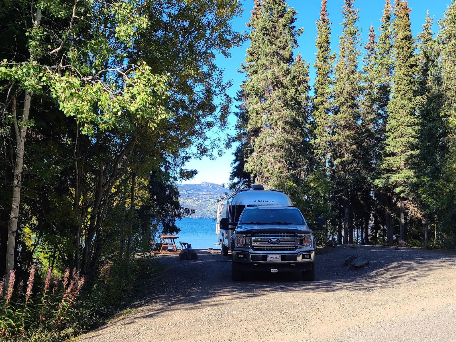
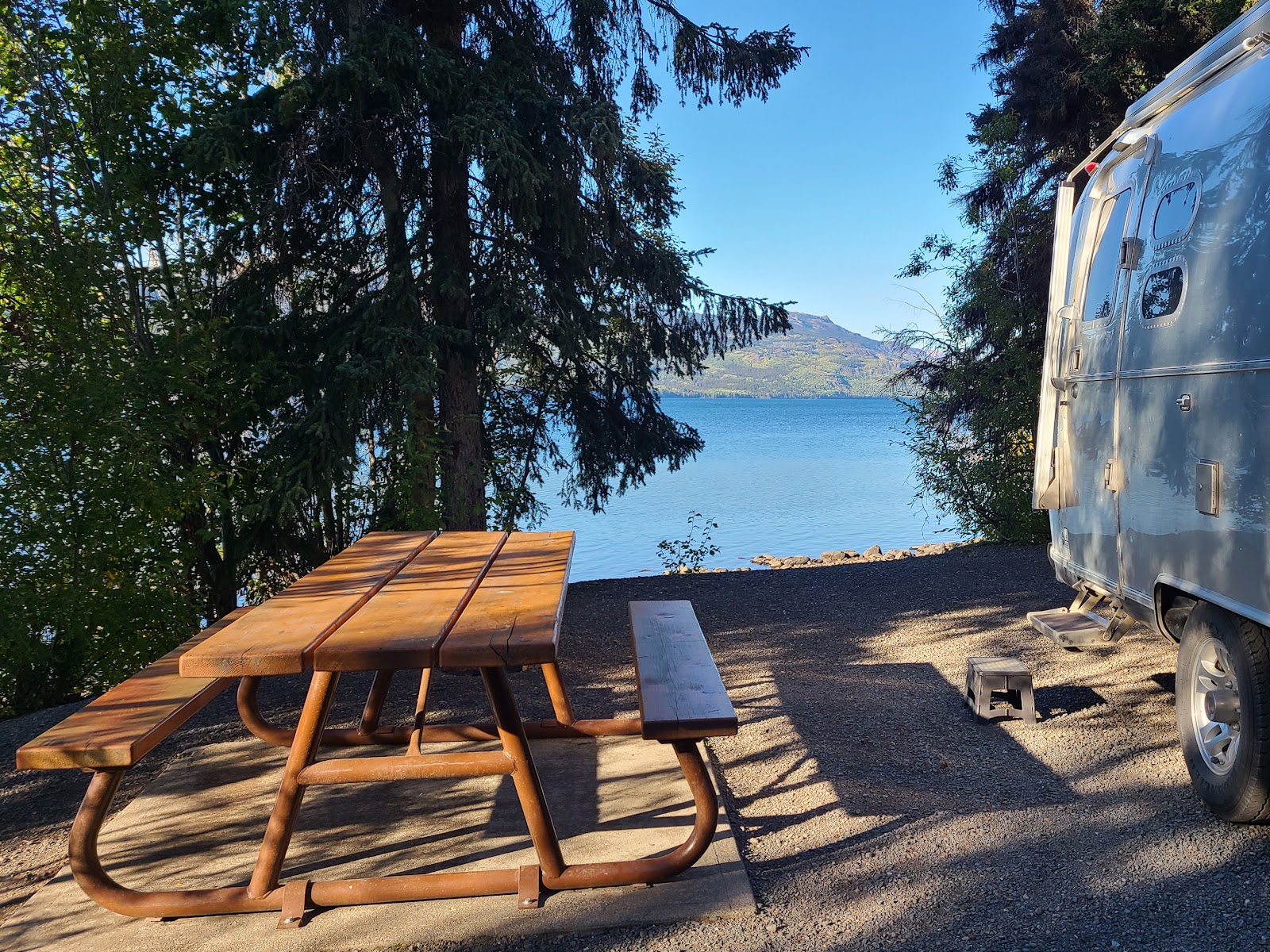
Approaching the northern shore of Kinaskan Lake where we will be camped for the night.

Would you like to be notified of new blog posts?

 |
We encourage everyone |
Until next time
