

THURSDAY |
YUKON MOTEL |
 YUKON TERRITORY |
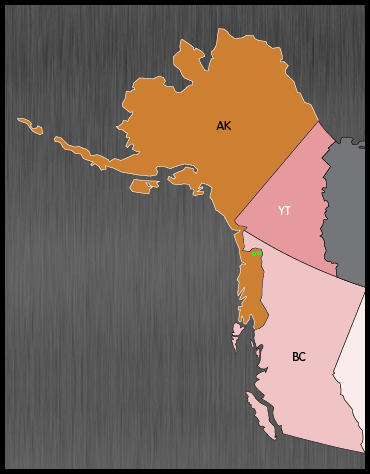
You see those two little green dots? The one on the left is Haines, AK and the one on the right in Skagway, AK. Those are the two towns we just finished visiting.
What you can't see in this map is the fact that there is only one highway into Haines and one highway into Skagway and they both pass through British Columbia to get there.
Those are the only two roads in British Columbia that are designated as Yukon Territory Highways #2 and #3. They are maintained by the Yukon Deptartment of Transportation.
You may be wondering why is that? I know I did. Here is where geography comes into play.
You'll notice the border between AK and YT is very straight, so is the border between YT and BC. These two borders are simple to figure out. If the land is west of the 141°00'00.0"W longitude line it is in Alaska. If the land is north of the 60°00'00.0"N latitude line it is in the Yukon Teritory.
The problem comes into play when you try to define the border between AK and BC.
That border is more an exercise in playing a game of connect the dots, using the major summits of the nearby mountain ranges to generate the dots. By doing so, you create a section in BC that is called a "panhandle", which is not accessible by road from anywhere else in BC.
So that is why when you are driving in British Columbia and heading south to the Alaskan border and Haines, you'll be on a 46-mile stretch of highway that will have Yukon Territory signs designating it as Yukon Highway 3. If you're headed south to the Alaskan border and Skagway, that 34.5-mile stretch of road will be designated Yukon Highway 2.
Why don't they just add another dot to the map north of Haines and Skagway on the YT and BC border and give that BC panhandle section to AK, that'll solve all the problems.
Yeah, like that'll ever happen!

We were still in Alaska when we passed this beautiful waterfall.

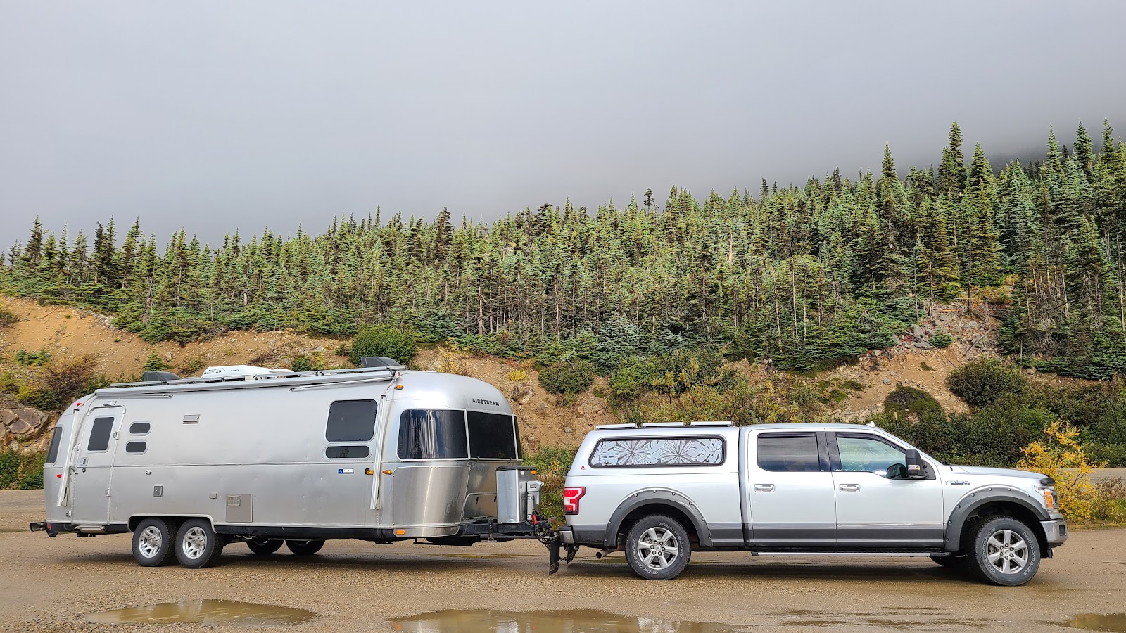
A little while later we neared the Canadian border at White Pass Summit,
where we literally "had our heads in the clouds."
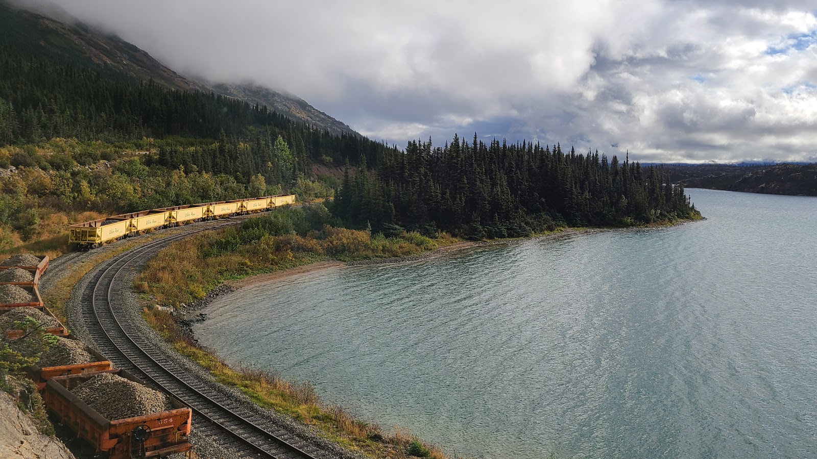
After losing a little elevation we got below the clouds and found this beautiful lake and a
section of track belonging to the White Pass and Yukon Railroad that we road upon on Monday.
Still below the clouds, but we can't see any of the nearby mountain peaks.
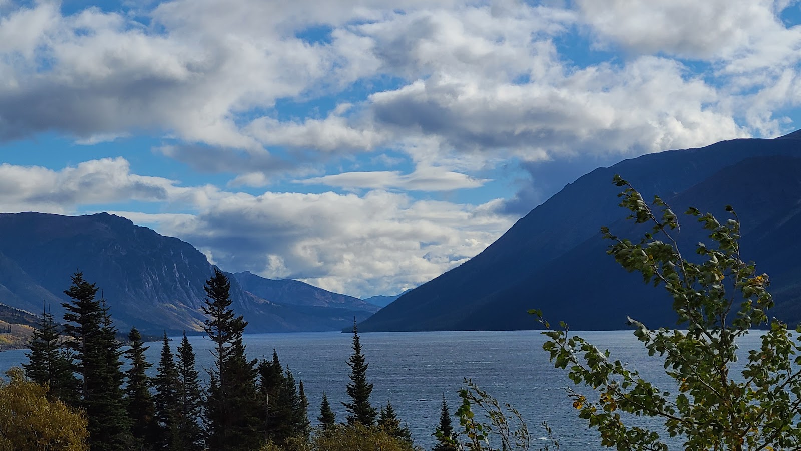
Now that's better, we're finally down low enough to see the mountain tops.

Leaving British Columbia behind, we entered the Yukon Territory.
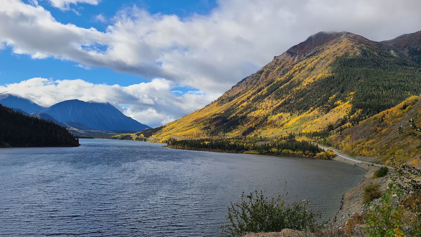
That's when the sun came out and really set off the yellow autumn colors that surrounded us.
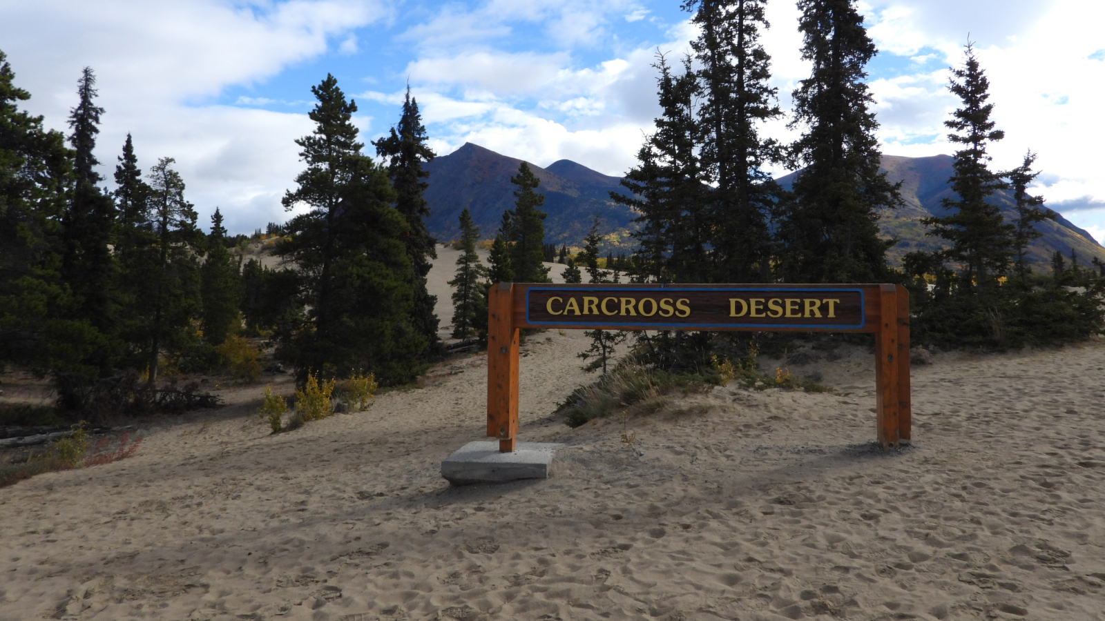
We did have one short sightseeing stop on the route today.
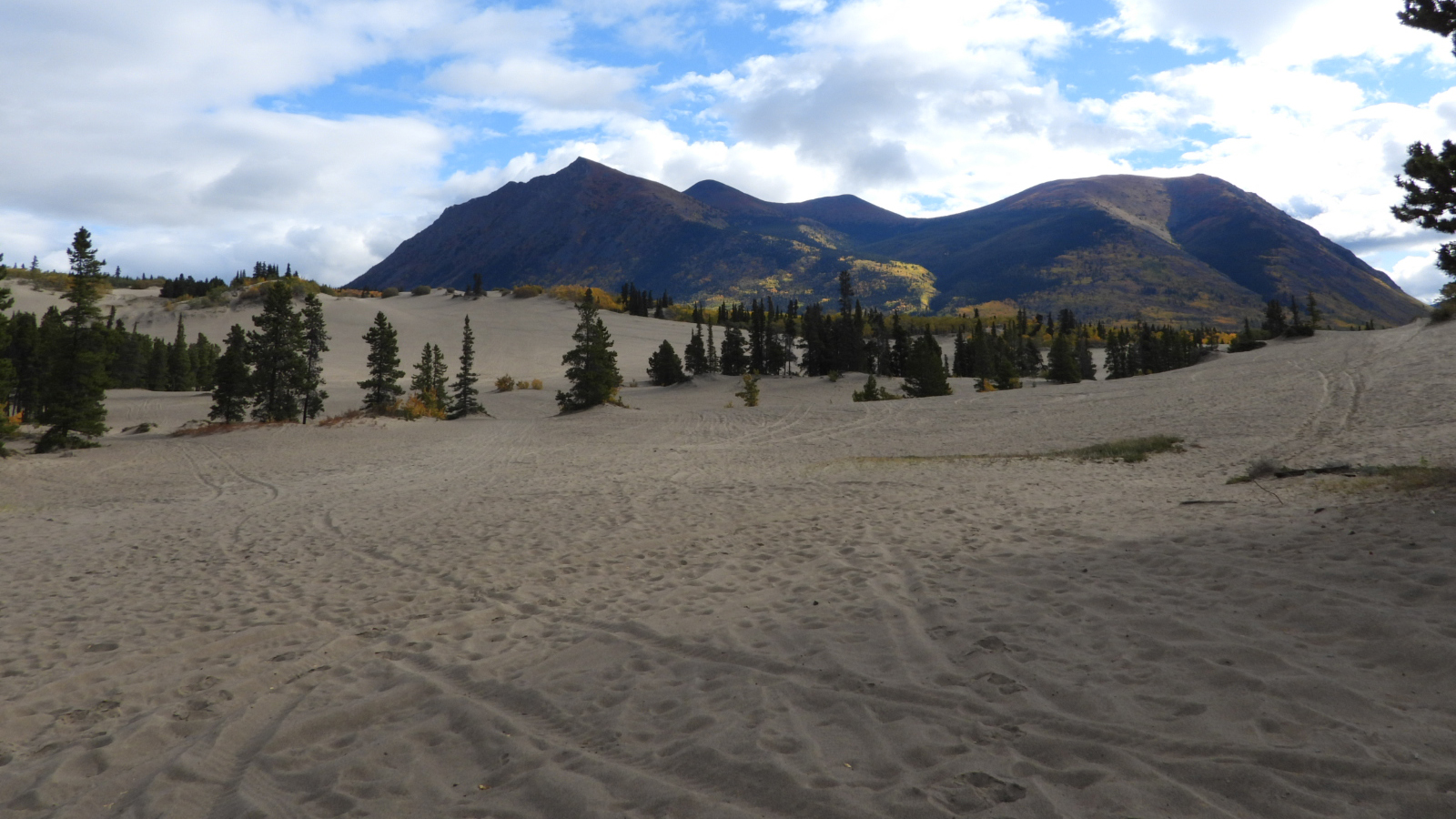
The Carcross Desert is one square mile of glacial sand that was left behind when the lakes dried up. It's not truly a desert, because the climate here is too humid.
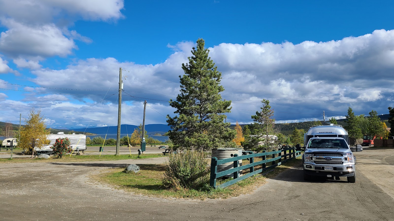
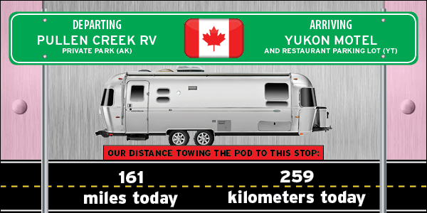
Our FREE camping spot for tonight in the Yukon Motel and Restaurant's parking lot.
Wait a minute! Isn't that an RV park on the other side of that fence? Yes it is, and it's owned and managed by the Motel and Restaurant.
After going inside to pay for over $100 in gasoline I casually asked if it was OK to park overnight in the parking lot. The answer was YES.
We don't need the electic and water connections they offer in the RV park and rightfully charge for. This side of the fence is just fine with us. I also mentioned when paying for the gas that we would be having dinner and possibly breakfast in the restaurant, I'm sure that help swing the reply towards YES.
Would you like to be notified of new blog posts?

 |
We encourage everyone |
Until next time
