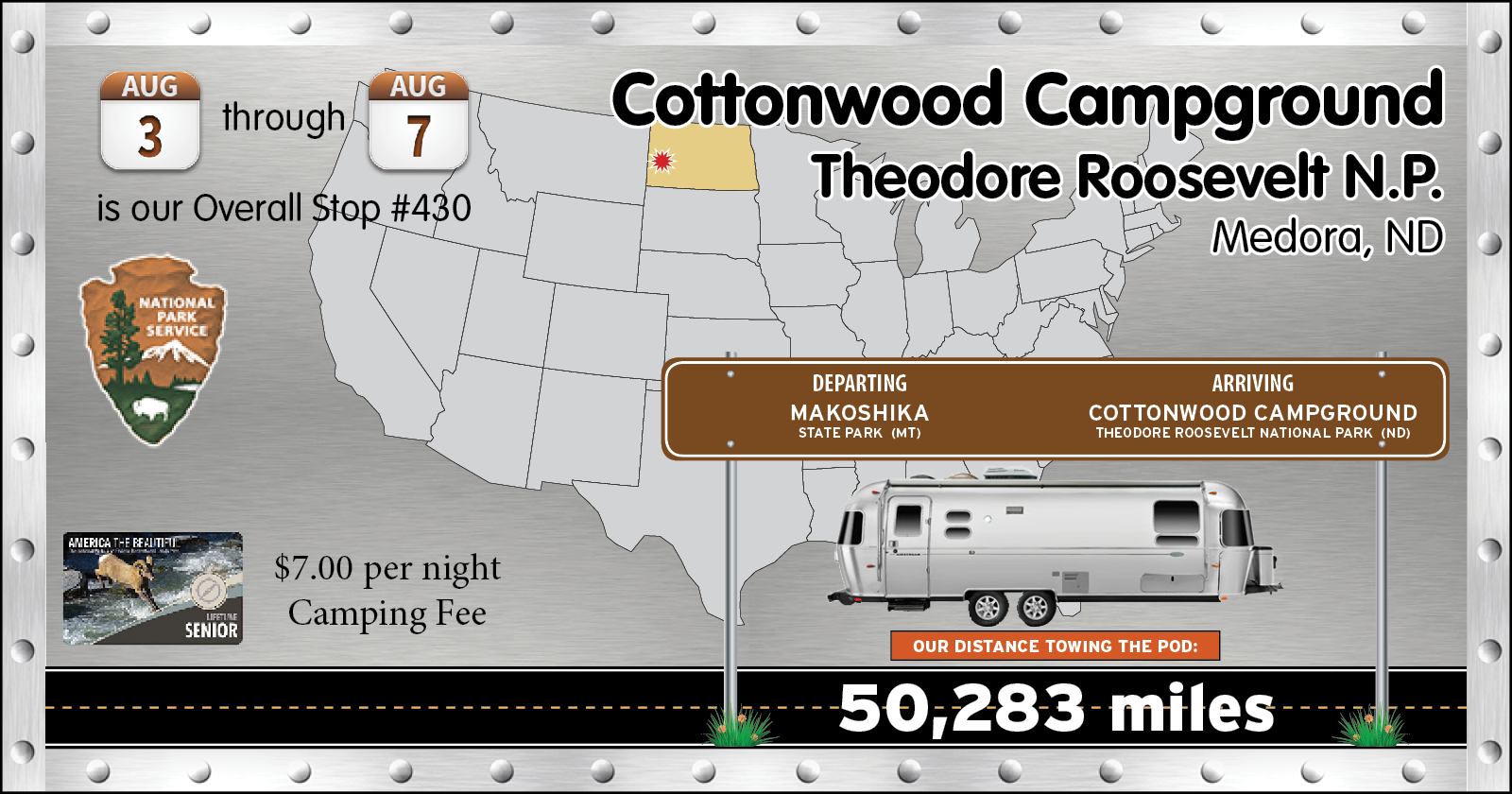
THURSDAY - Today, as mentioned before, is going to be a short 70+ mile travel day.
We'll be finishing up our short 3-day visit of Montana and crossing the border into North Dakota. We do however have another 3-day visit of Montana scheduled towards the middle of the month at another state park.
Just outside of the town of Medora, ND is a Scenic Overlook Pullout off the eastbound side of Interstate-94. We pulled over, mostly just to take a bathroom break, before arriving at our destination of Theodore Roosevelt National Park.
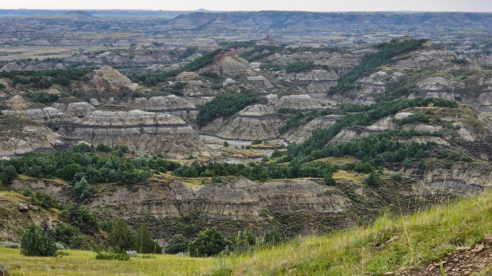
While stopped we snapped these two photos of the surrounding North Dakota countryside.
Looking south of the Interstate-94.
North, across the Interstate were some interesting rock outcroppings.
North Dakota is the "3rd flattest" state in the United States, Florida of course holds the #1 spot, but I was totally surprised by which state came in 2nd. Anyone out there want to venture a guess? No cheating (i.e. Googling it)!
In no time we were all set up in our new campsite, then we headed into the town of Medora in search of lunch. After lunch we drove 8-miles east on the Interstate to check out the Painted Canyon Overlook and Visitor Center of Theodore Roosevelt National Park.
The weather was starting to worsen and the forecast is for several days of rain and winds, so we didn't spend much time outside taking photos. There will be time for that when the weather finally clears. The good news is that with the rains comes cooler temperatures and tomorrow's high is only going to be in the mid-60°F.
A quick shot from the Painted Canyon Overlook. That rain will be here any moment now.
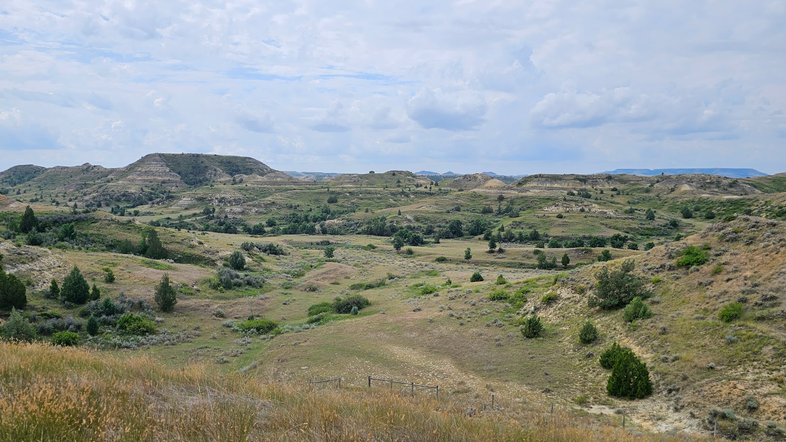
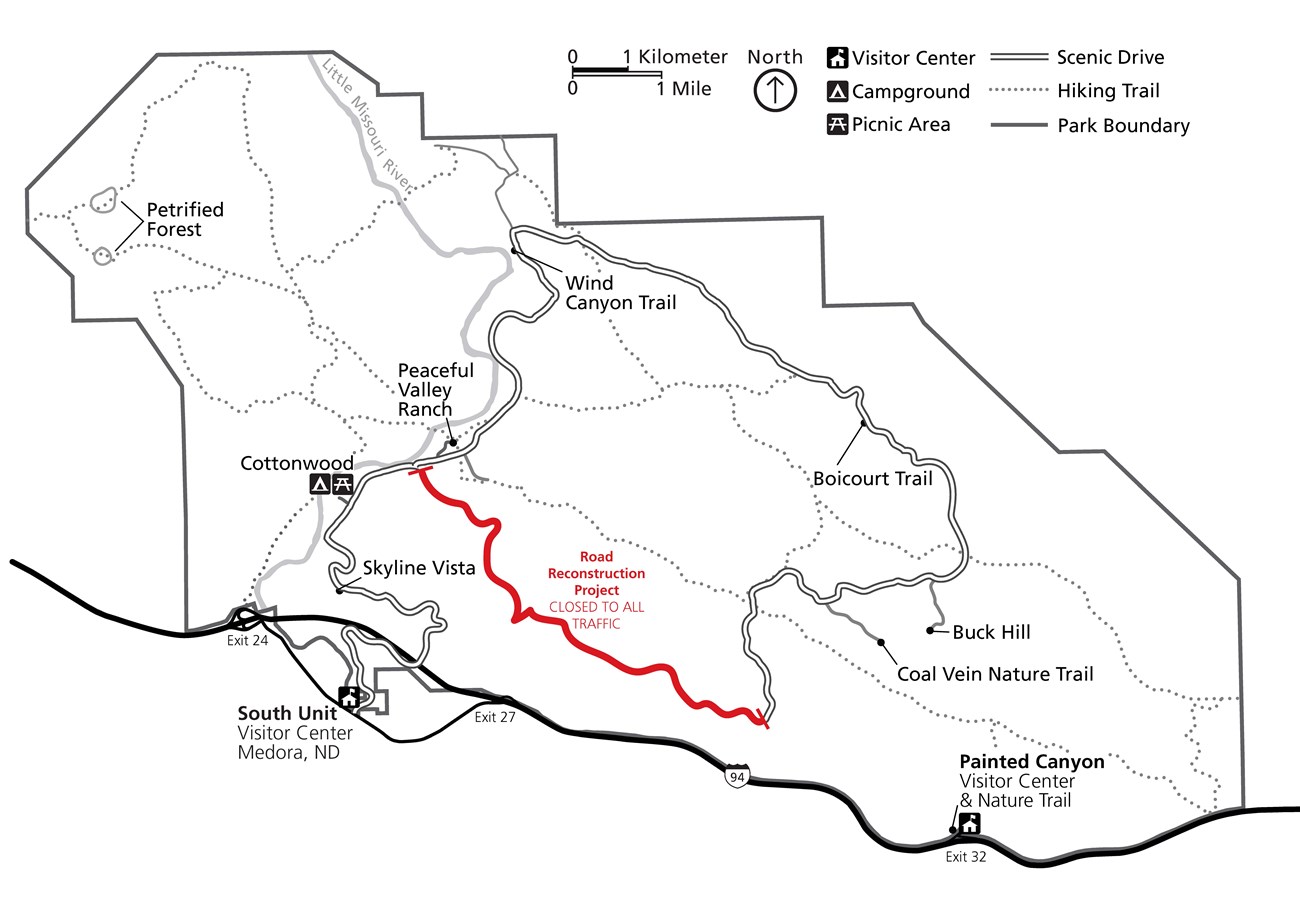
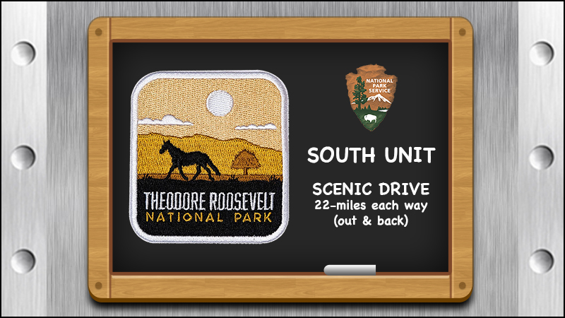
SATURDAY - When we awoke today it wasn't raining so we took the opportunity to get out and see the South Unit of Theodore Roosevelt National Park from the 36-mile long Scenic Drive Loop.
Under normal conditions the Scenic Drive Loop in just that, a loop. During recent years there has been an ongoing road reconstruction project that has shutdown 6-miles of the loop, effectively making it a 22-mile out and then a 22-mile back drive instead of a loop.
SCENES FROM THE SOUTH UNIT
Theodore Roosevelt National Park - South Unit
SLIDE NUMBER
1
OF
17
The Scenic Drive is very scenic, with it's ups...
SLIDE NUMBER
2
OF
17
..and downs along the route, but as of yet we haven't seen any wildlife.
SLIDE NUMBER
3
OF
17
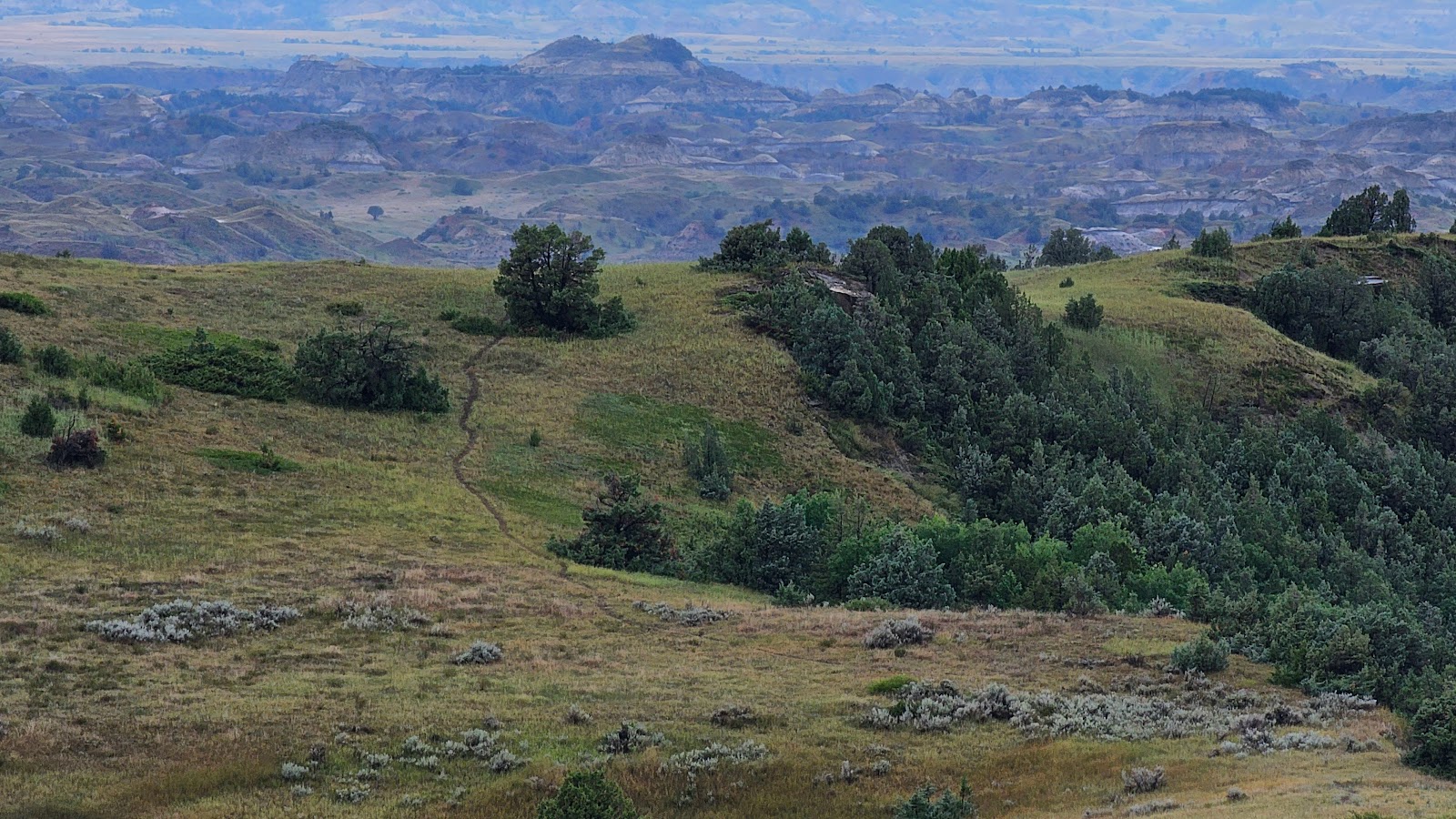
The views are pretty fantastic in a nondeveloped kind of way.
SLIDE NUMBER
4
OF
17
Then as if guarding the entrance to the Buck Hill Turnoff we met up with this fellow.
SLIDE NUMBER
5
OF
17
He went up the hillside to pass by ROVER before continuing on his way. (SEE VIDEO #1 BELOW)
SLIDE NUMBER
6
OF
17
Then around the next corner we met up with another bison. This one was in a bit of a hurry.
SLIDE NUMBER
7
OF
17
At the Coal Vein Turnoff there was a car pulled over looking up at the ridge above them.
SLIDE NUMBER
8
OF
17
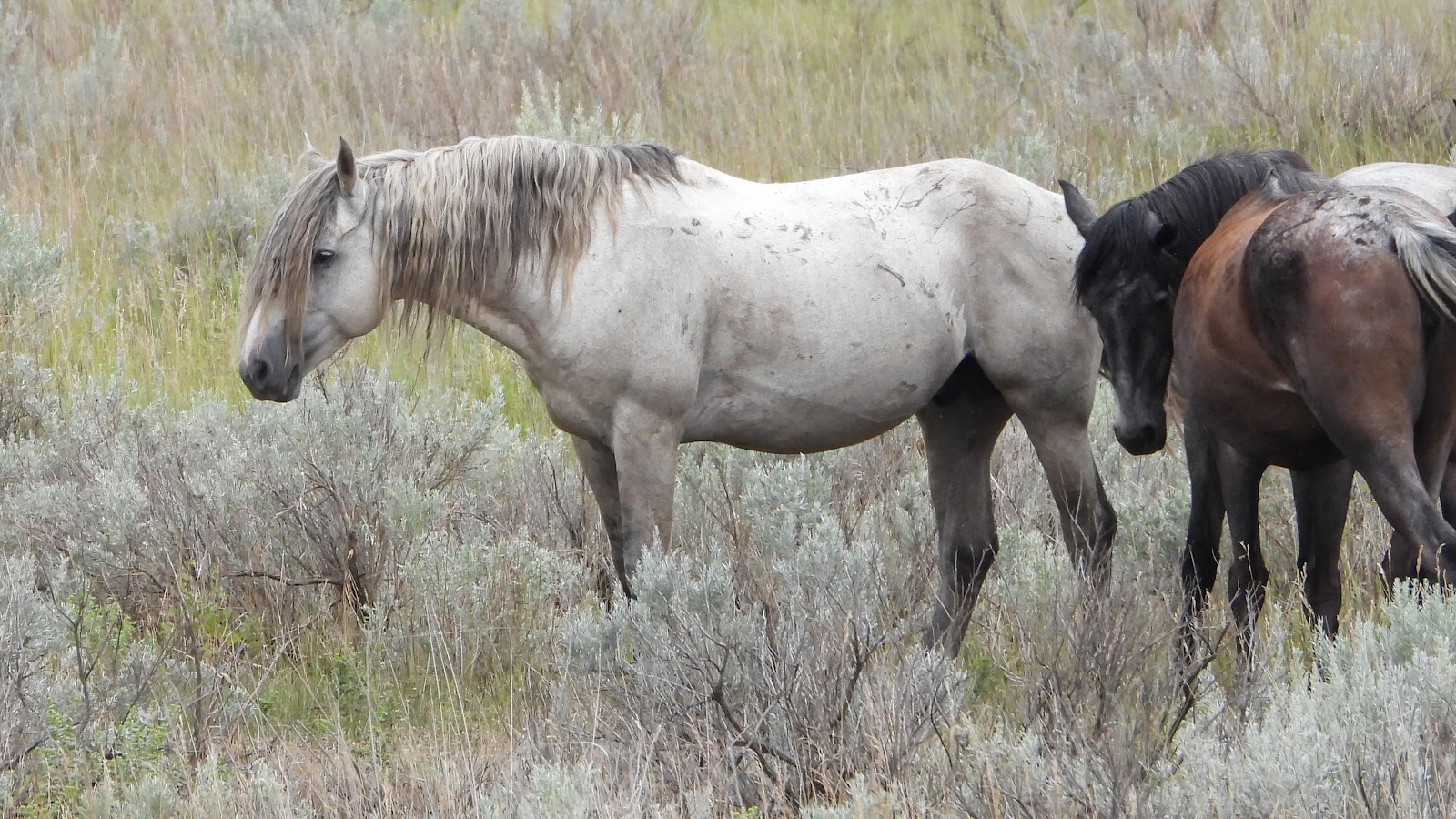
There were four wild horses up there grazing on the grass.
SLIDE NUMBER
9
OF
17
We made it to the end of the road and turned around to begin going back. This time we drove up to Buck Hill (elev. 2855'), list as the highest accessible point in the park.
SLIDE NUMBER
10
OF
17
The views were even better from up there.
SLIDE NUMBER
11
OF
17
SLIDE NUMBER
12
OF
17
SLIDE NUMBER
13
OF
17
SLIDE NUMBER
14
OF
17
There are several locations in the park that qualify for the title of "Prairie Dog Town". (SEE VIDEO #2 BELOW)
SLIDE NUMBER
15
OF
17
Who knew we would have a half dozen or more wild horses waiting for us when we arrived back at the Cottonwood Campground. (SEE VIDEO #3 BELOW)
SLIDE NUMBER
16
OF
17
SLIDE NUMBER
17
OF
17
VIDEO #1: Why do bison always pee when we take a video of them? NOTE: The bison paused in the road because another vehicle pulled up next to us in the other lane and cut off any chance of him being able to continue on down the roadway.
VIDEO #2: It was very busy in Prairie Dog Town this morning.
VIDEO #3: All that tail swishing is to ward off all the pesky insects.
After driving around all morning looking for wildlife we realized what we could have done was just open the door of THE POD and wait for the wildlife to come visit us.
That's just what happened as the small group of wild horses strolled on by our picnic table.
The banks of the Little Missouri River are just beyond those two trees in the center of this photo.
We even had a bunny come by our driveway to say hello.
SUNDAY - We're calling today "SUNNY SUNDAY", because it's the first sunny day we had here at Cottonwood Campground.
We're not going to waste it by staying cooped up in THE POD either, we're heading out to the Scenic Drive for one more look before we change locations tomorrow.
We're also heading into town afterwards to enjoy a late lunch and then fill ROVER's tank before leaving town to venture some 80-miles north of here to visit the North Unit of Theodore Roosevelt National Park.
OUR FINAL TRIP DOWN THE SCENIC DRIVE
SLIDE NUMBER
1
OF
25
From the Skyline Vista Overlook we could see I-94 headed towards the town of Medora.
SLIDE NUMBER
2
OF
25
We also saw some very colorful "badlands" and green valley floors.
SLIDE NUMBER
3
OF
25
At the Peaceful Valley Ranch there were several renovated buildings that aren't being used.
SLIDE NUMBER
4
OF
25
This home appears to have had a few "additions" since it was originally built.
SLIDE NUMBER
5
OF
25
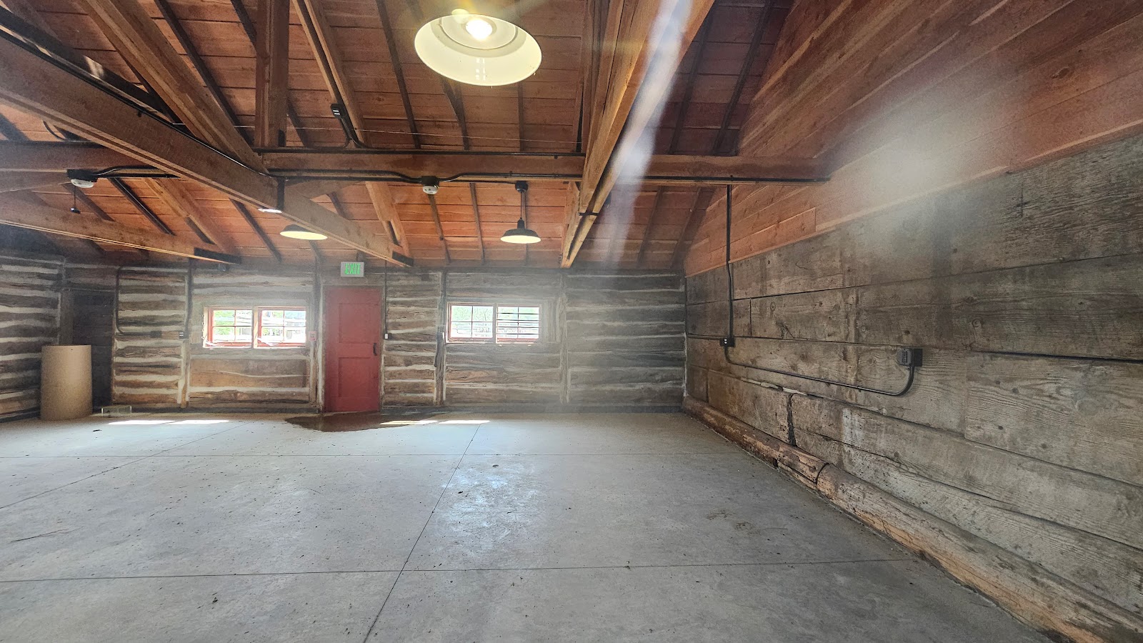
The interior is completely renovated, but void of any furniture.
SLIDE NUMBER
6
OF
25
Across the driveway was this renovated building.
SLIDE NUMBER
7
OF
25
It looks completed with A/C, heat and lighting, but no furniture.
SLIDE NUMBER
8
OF
25
The third building appears to have been a barn or stables in a past life.
SLIDE NUMBER
9
OF
25
SLIDE NUMBER
10
OF
25
The interior is not completely finished, but close.
SLIDE NUMBER
11
OF
25
Across the Scenic Drive from the ranch was a huge Prairie Dog Town.
SLIDE NUMBER
12
OF
25
There was also this one lone wild horse looking a little "under the weather" today.
SLIDE NUMBER
13
OF
25
Next we began a climb to the top of the .4-mile loop Wind Canyon Trail for a look at the river.
SLIDE NUMBER
14
OF
25
From near the top we could see nearly all the way back to the campground.
SLIDE NUMBER
15
OF
25
From the very top we could see there was a large bend in the river below.
SLIDE NUMBER
16
OF
25
We also spotted a small group enjoyng a morning horseback ride through the park.
SLIDE NUMBER
17
OF
25
Now, where is that escalator to take us back down to the parking lot?
SLIDE NUMBER
18
OF
25
Along the road we saw a dozen bison easily negotiating their way down a rocky cliff face.
SLIDE NUMBER
19
OF
25
This is the .3-mile Boicourt Trail that leads to an overlook...
SLIDE NUMBER
20
OF
25
...where you'll see this long distance view of the badlands.
SLIDE NUMBER
21
OF
25
There's no mistaking where the "End of the Road" is. Time to turn around.
SLIDE NUMBER
22
OF
25
Oh no! Not another bison looking for a head butting contest (watch the video below).
SLIDE NUMBER
23
OF
25
The same horse we saw earlier, only now he's feeling comfortable in the middle of the road.
SLIDE NUMBER
24
OF
25
These two look familiar. They visited our campsite yesterday with a few of their friends.
SLIDE NUMBER
25
OF
25
Looks like we picked up an unwanted hitchhiker on the windshield. I hope he's looking for a ride into town because that's where we're headed.


 Theodore Roosevelt National Park - South Unit
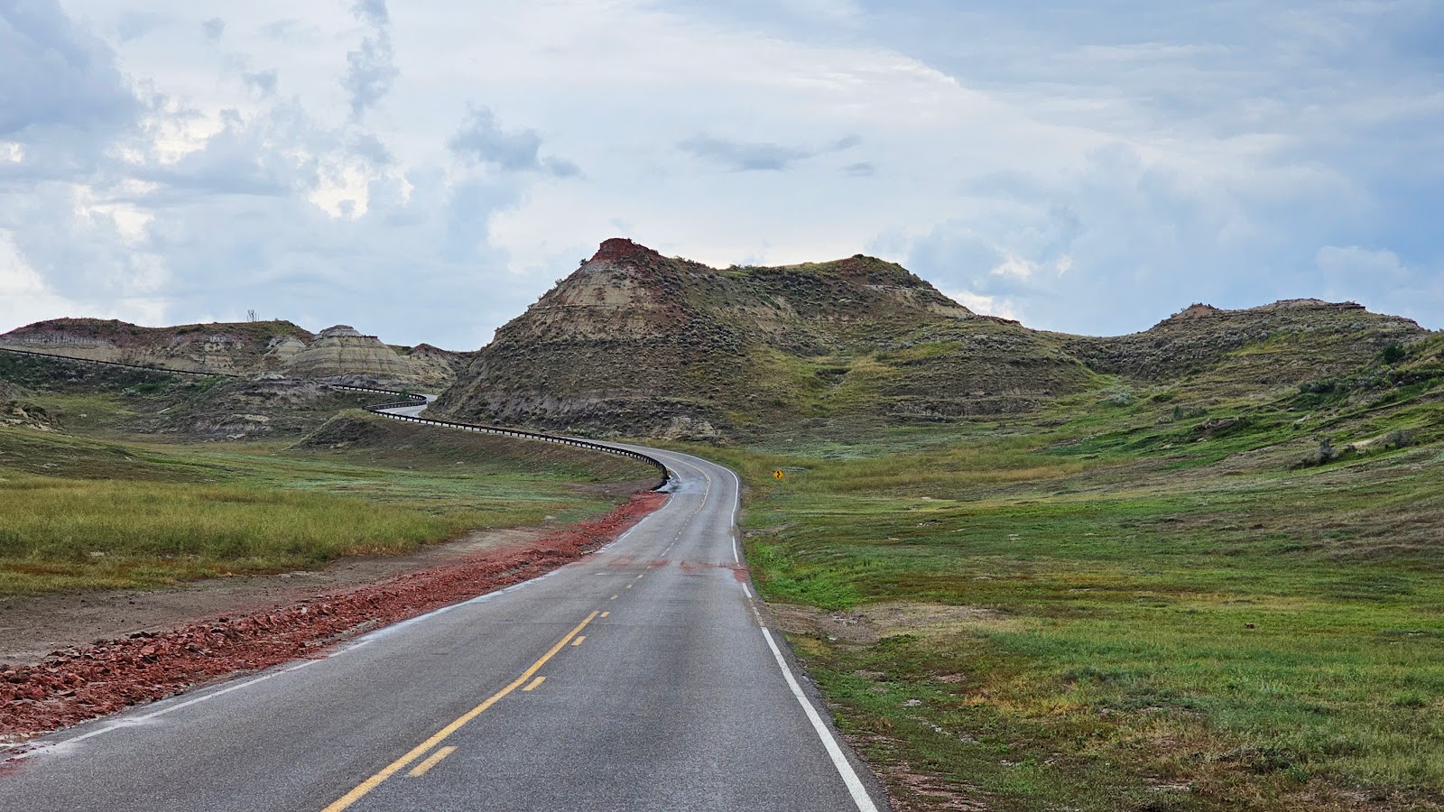 The Scenic Drive is very scenic, with it's ups...
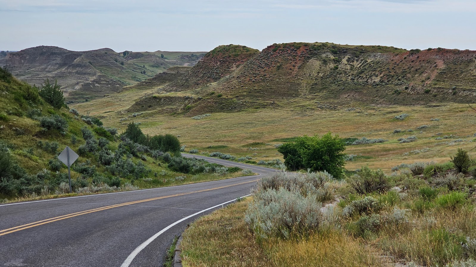 ..and downs along the route, but as of yet we haven't seen any wildlife.
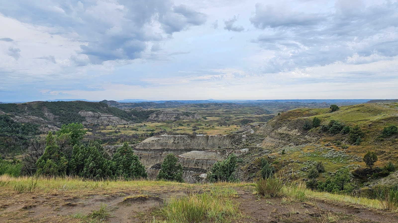 The views are pretty fantastic in a nondeveloped kind of way.
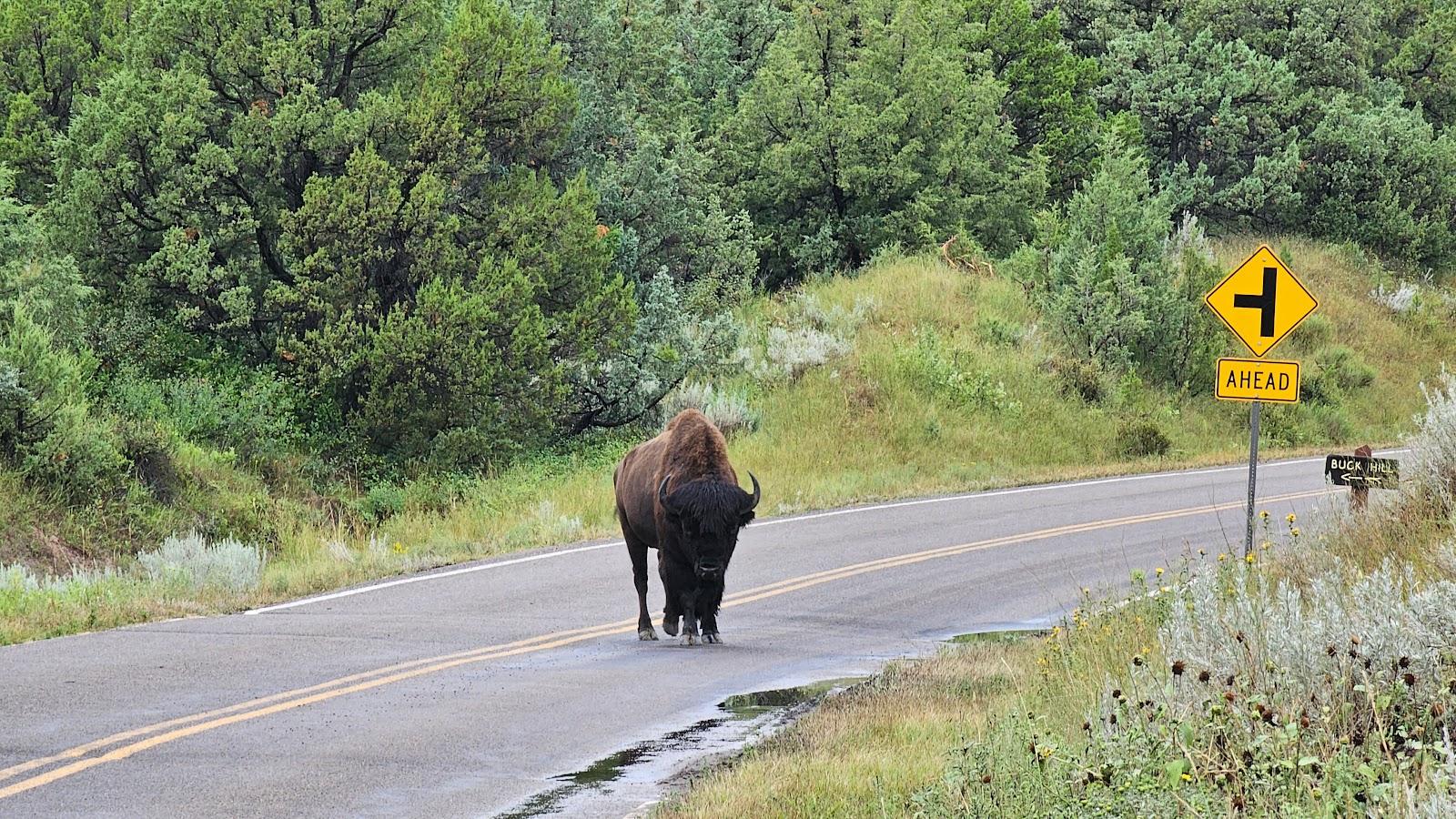 Then as if guarding the entrance to the Buck Hill Turnoff we met up with this fellow.
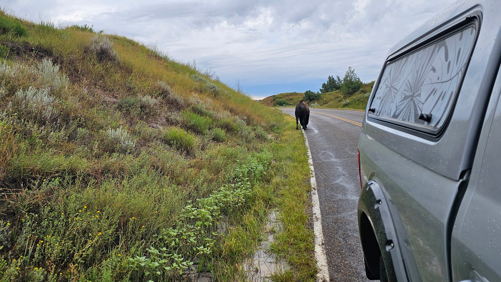 He went up the hillside to pass by ROVER before continuing on his way. (SEE VIDEO #1 BELOW)
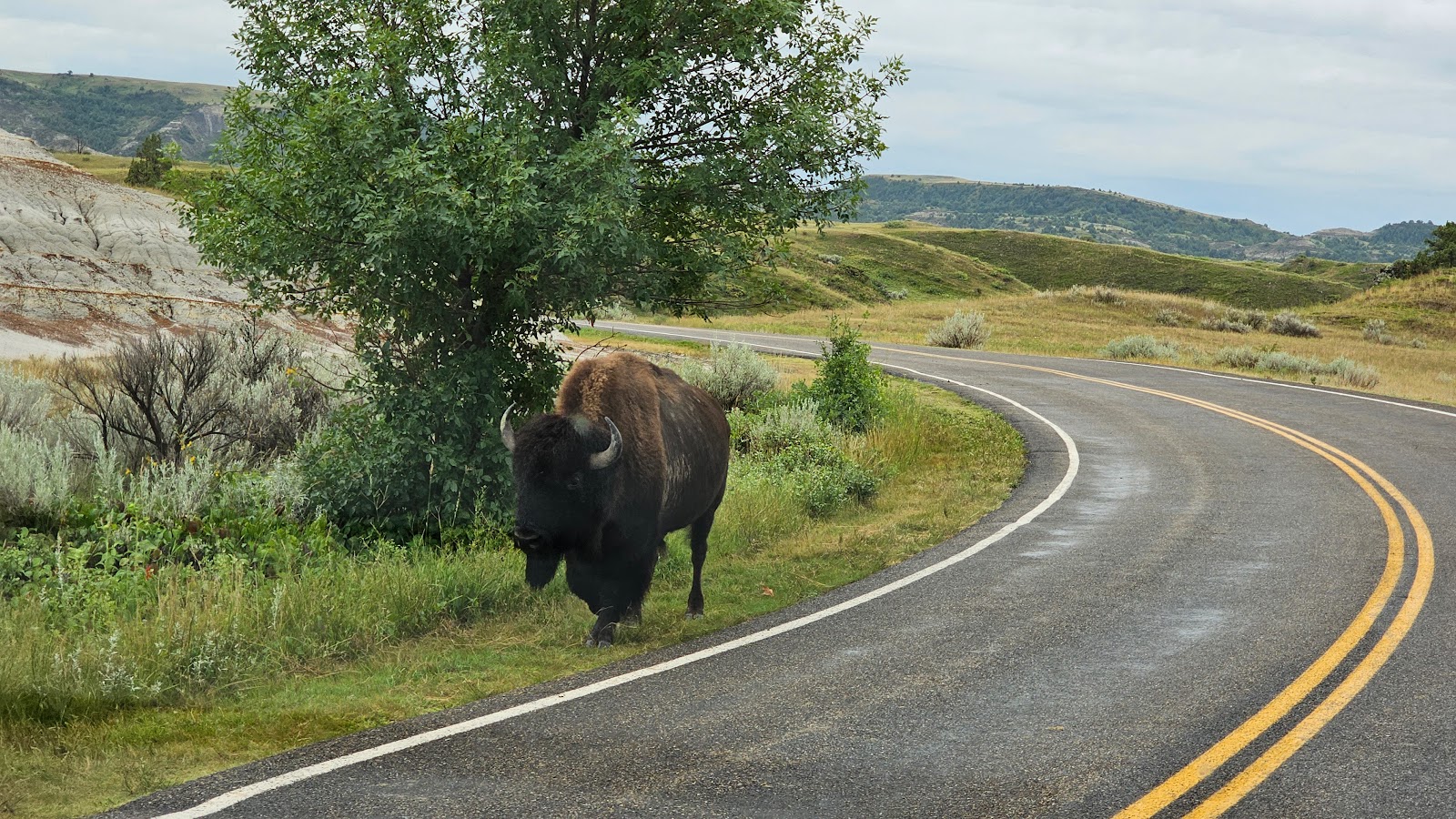 Then around the next corner we met up with another bison. This one was in a bit of a hurry.
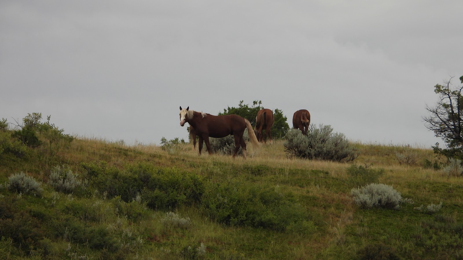 At the Coal Vein Turnoff there was a car pulled over looking up at the ridge above them.
 There were four wild horses up there grazing on the grass.
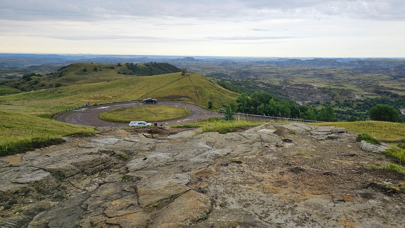 We made it to the end of the road and turned around to begin going back.
 The views were even better from up there.
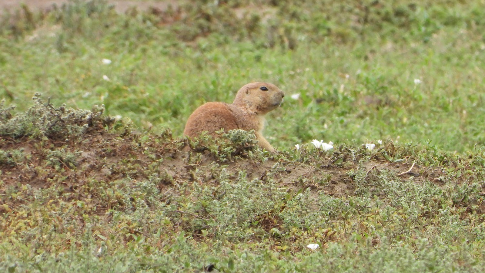 There are several locations in the park that qualify for the title of "Prairie Dog Town".
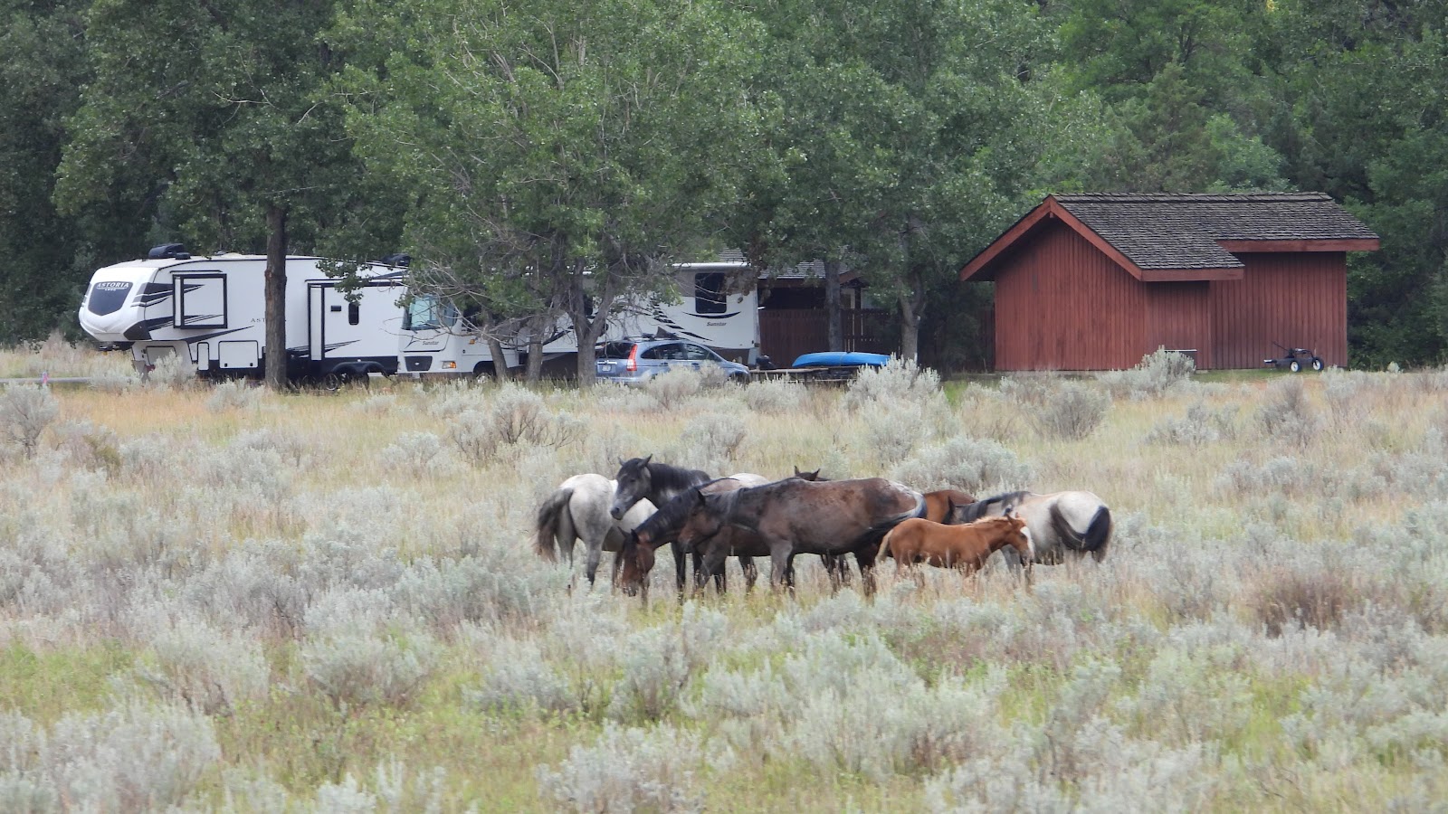 Who knew we would have a half dozen or more wild horses waiting for us
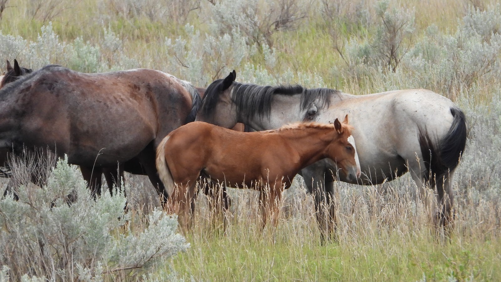


 From the Skyline Vista Overlook we could see I-94 headed towards the town of Medora.
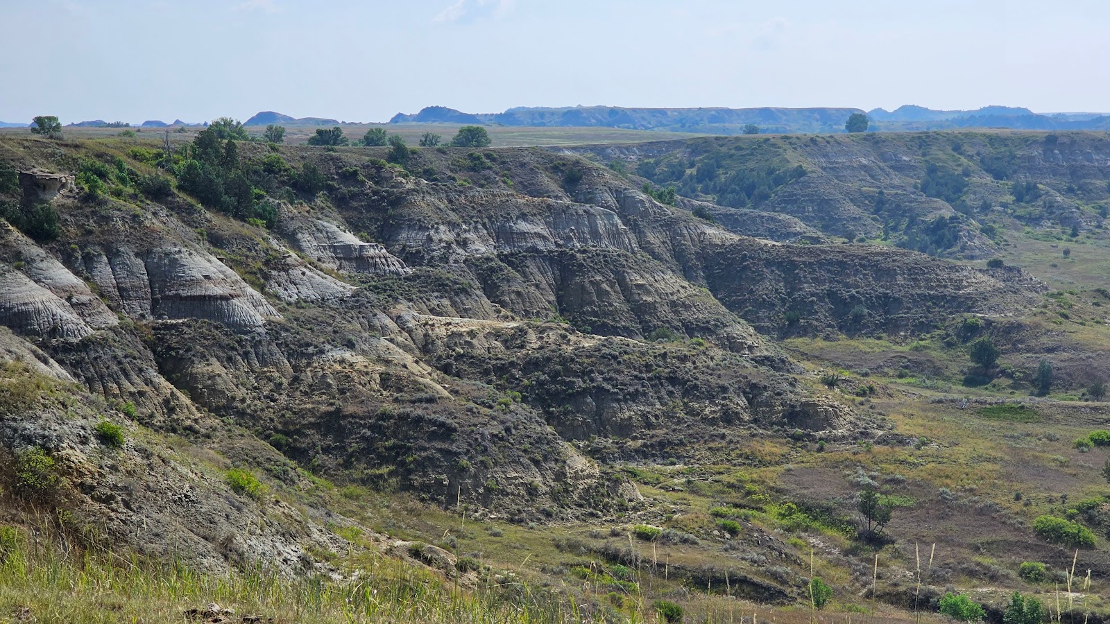 We also saw some very colorful "badlands" and green valley floors.
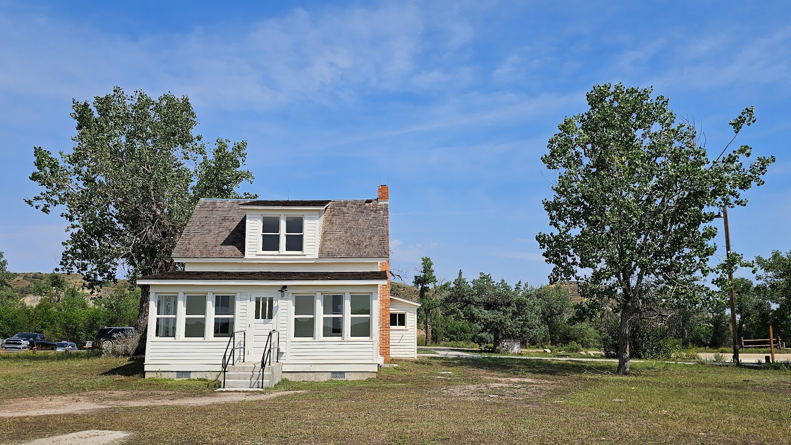 At the Peaceful Valley Ranch there were several renovated buildings that aren't being used.
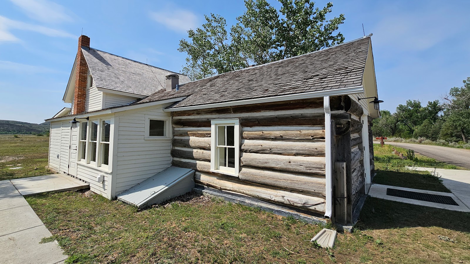 This home appears to have had a few "additions" since it was originally built.
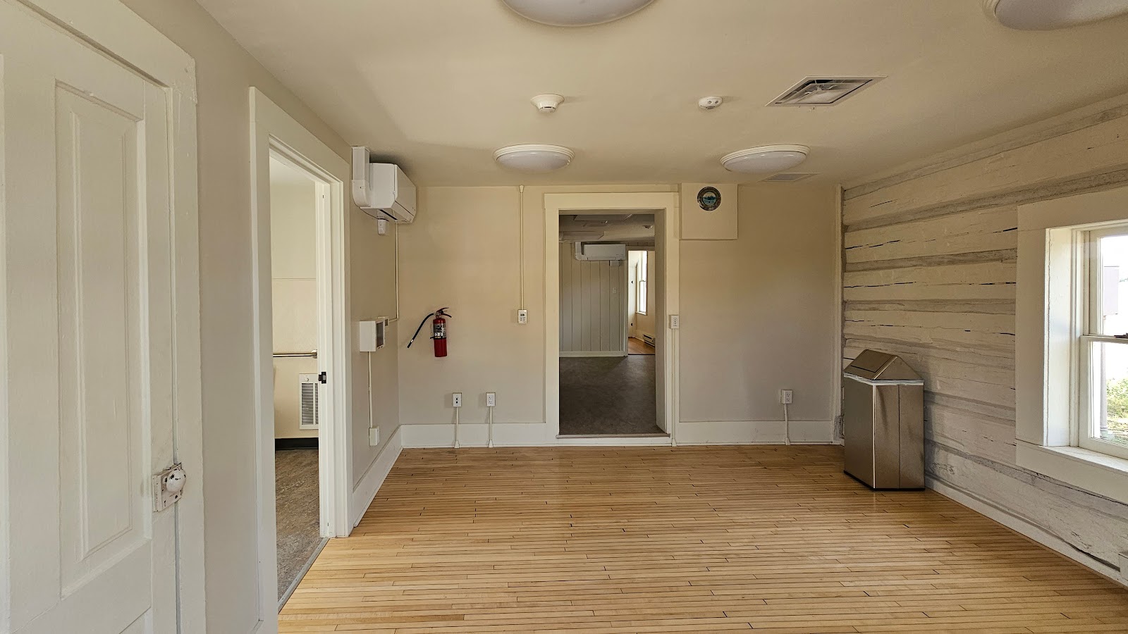 The interior is completely renovated, but void of any furniture.
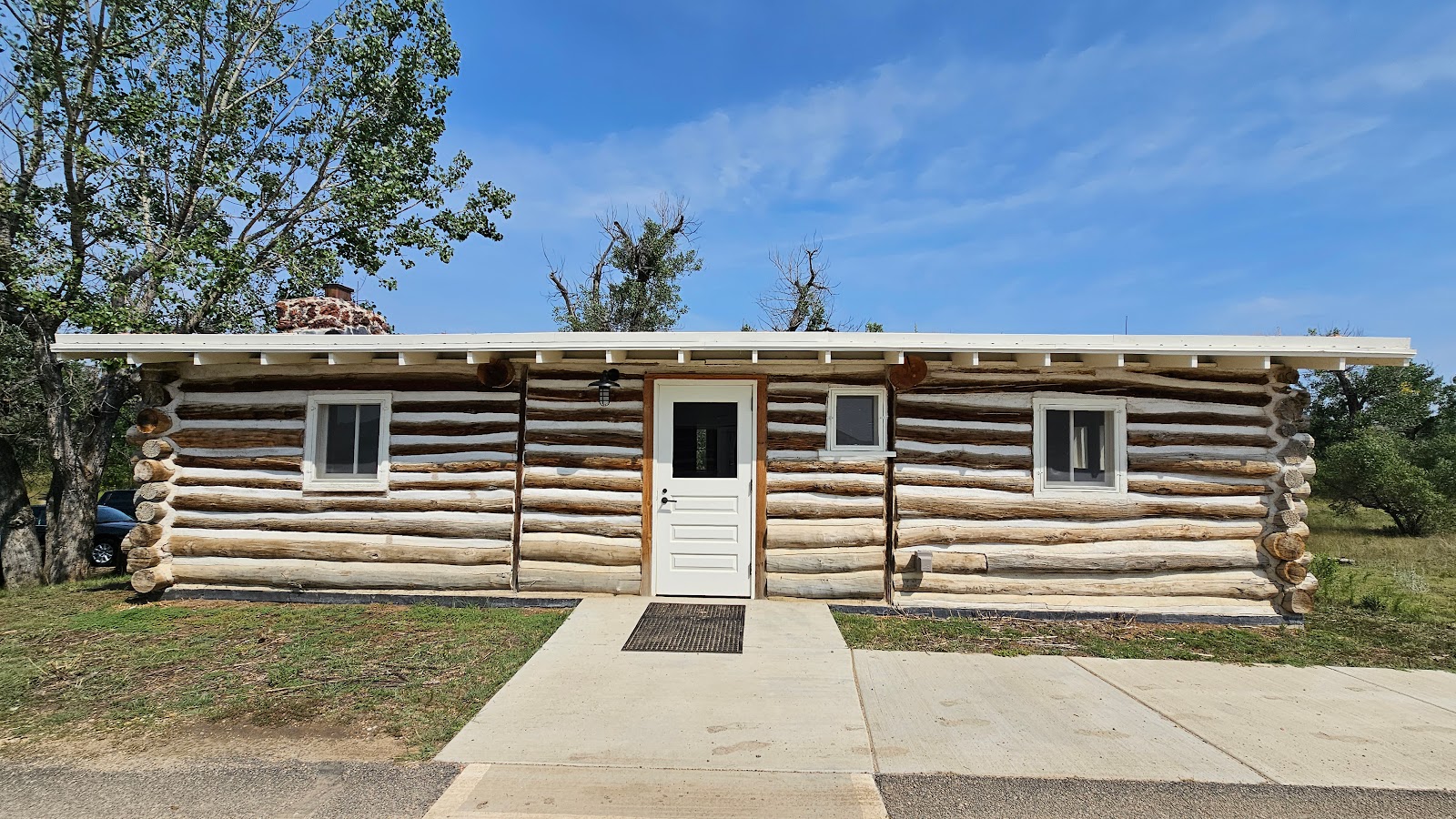 Across the driveway was this renovated building.
 It looks completed with A/C, heat and lighting, but no furniture.
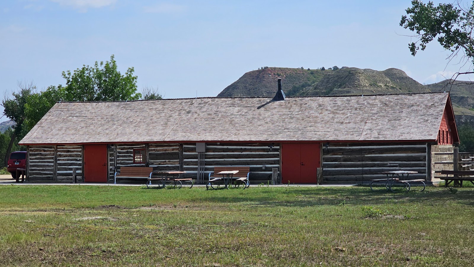 The third building appears to have been a barn or stables in a past life.
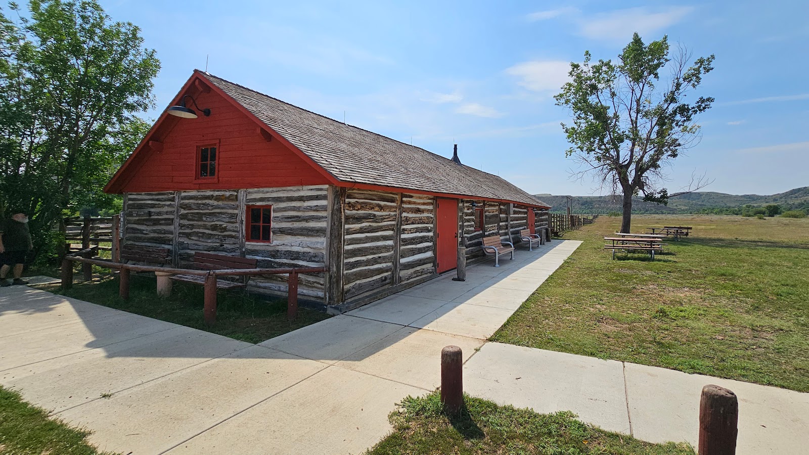
 The interior is not completely finished, but close.
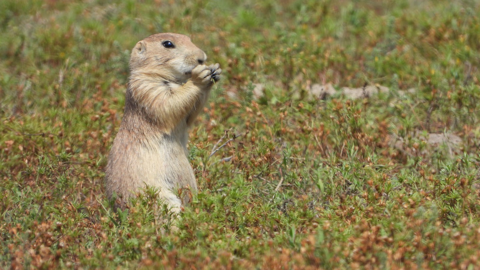 Across the Scenic Drive from the ranch was a huge Prairie Dog Town.
 There was also this one lone wild horse looking a little "under the weather" today.
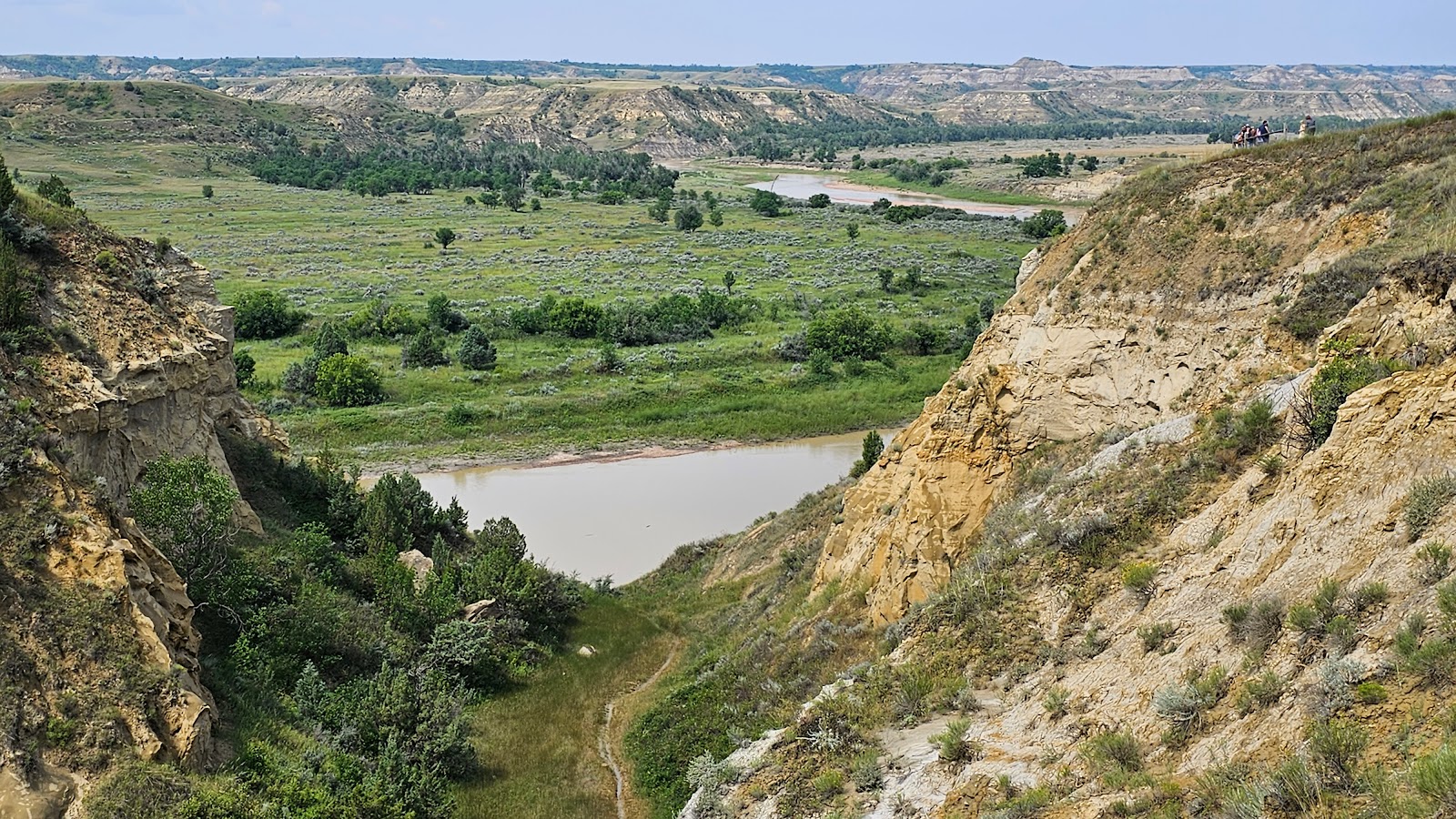 Next we began a climb to the top of the .4-mile loop Wind Canyon Trail for a look at the river.
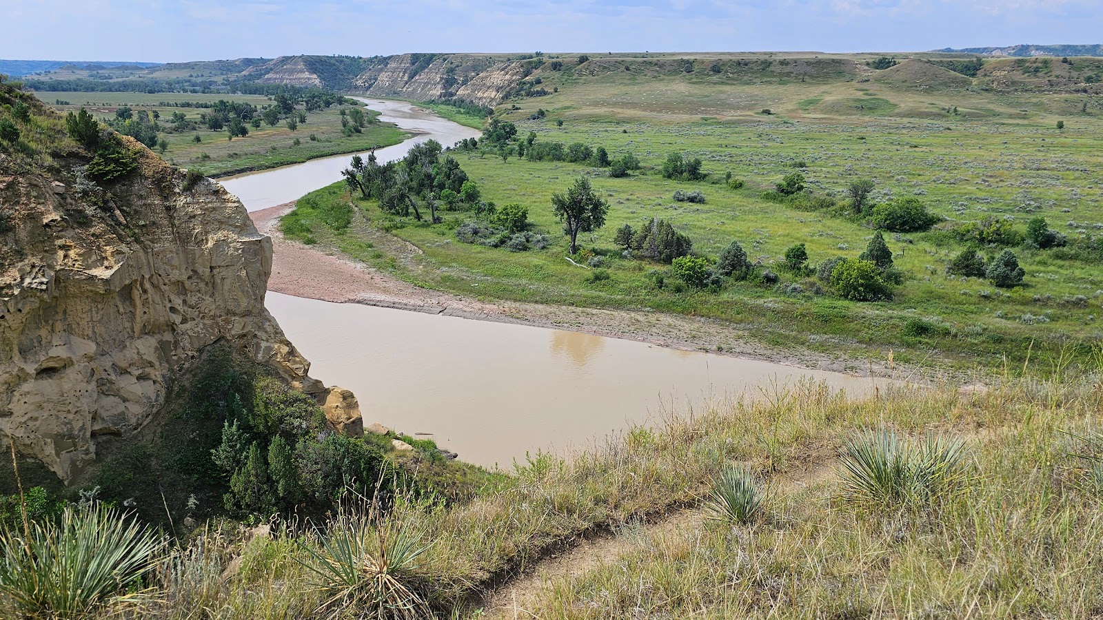 From near the top we could see nearly all the way back to the campground.
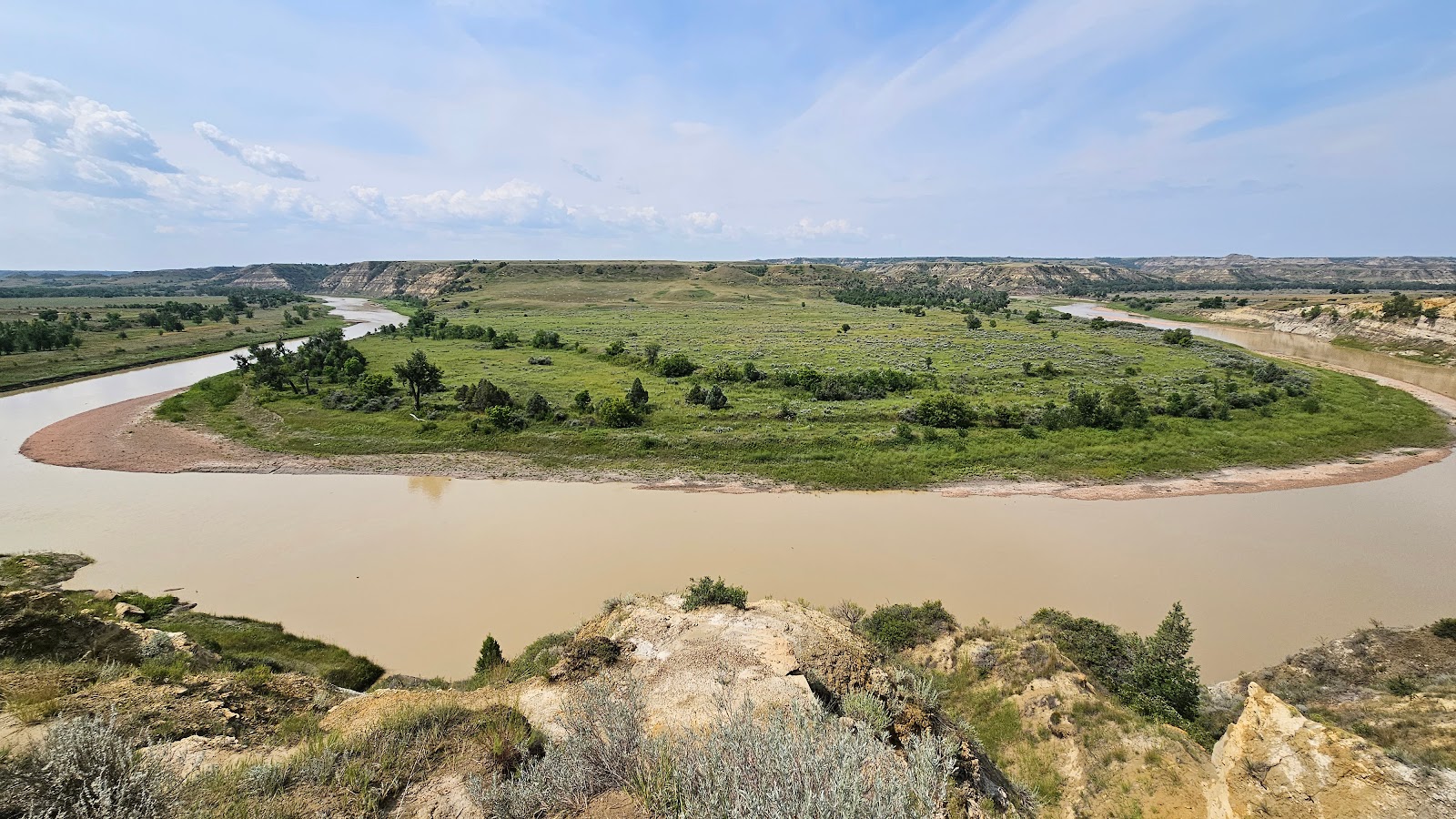 From the very top we could see there was a large bend in the river below.
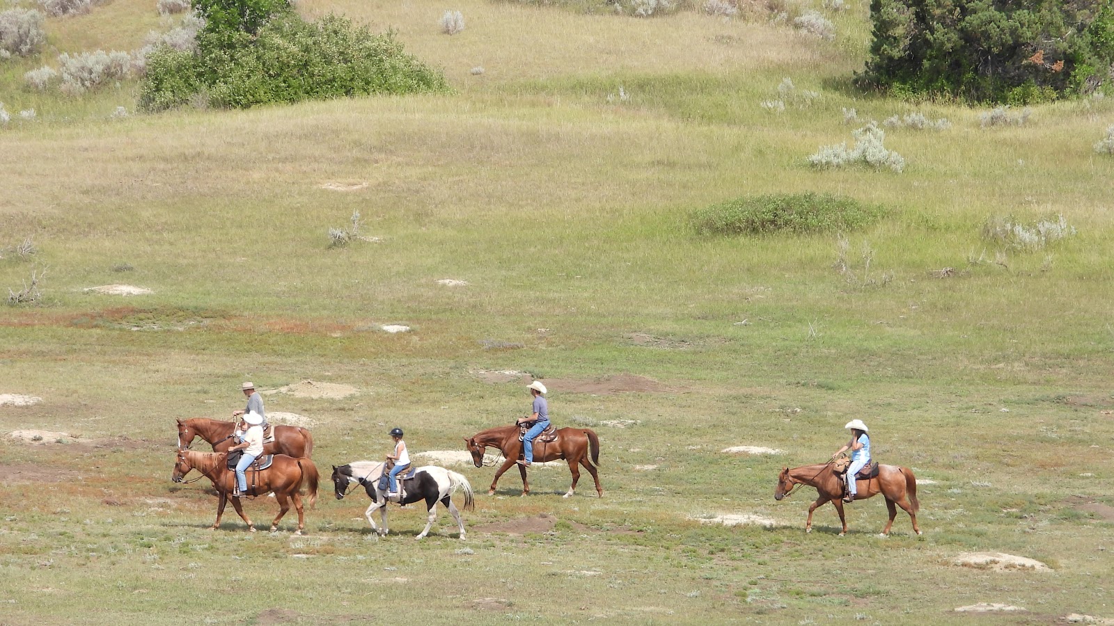 We also spotted a small group enjoyng a morning horseback ride through the park.
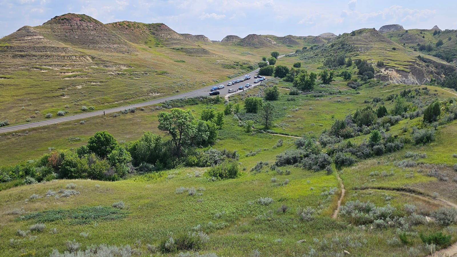 Now, where is that escalator to take us back down to the parking lot?
  Along the road we saw a dozen bison easily negotiating their way down a rocky cliff face.
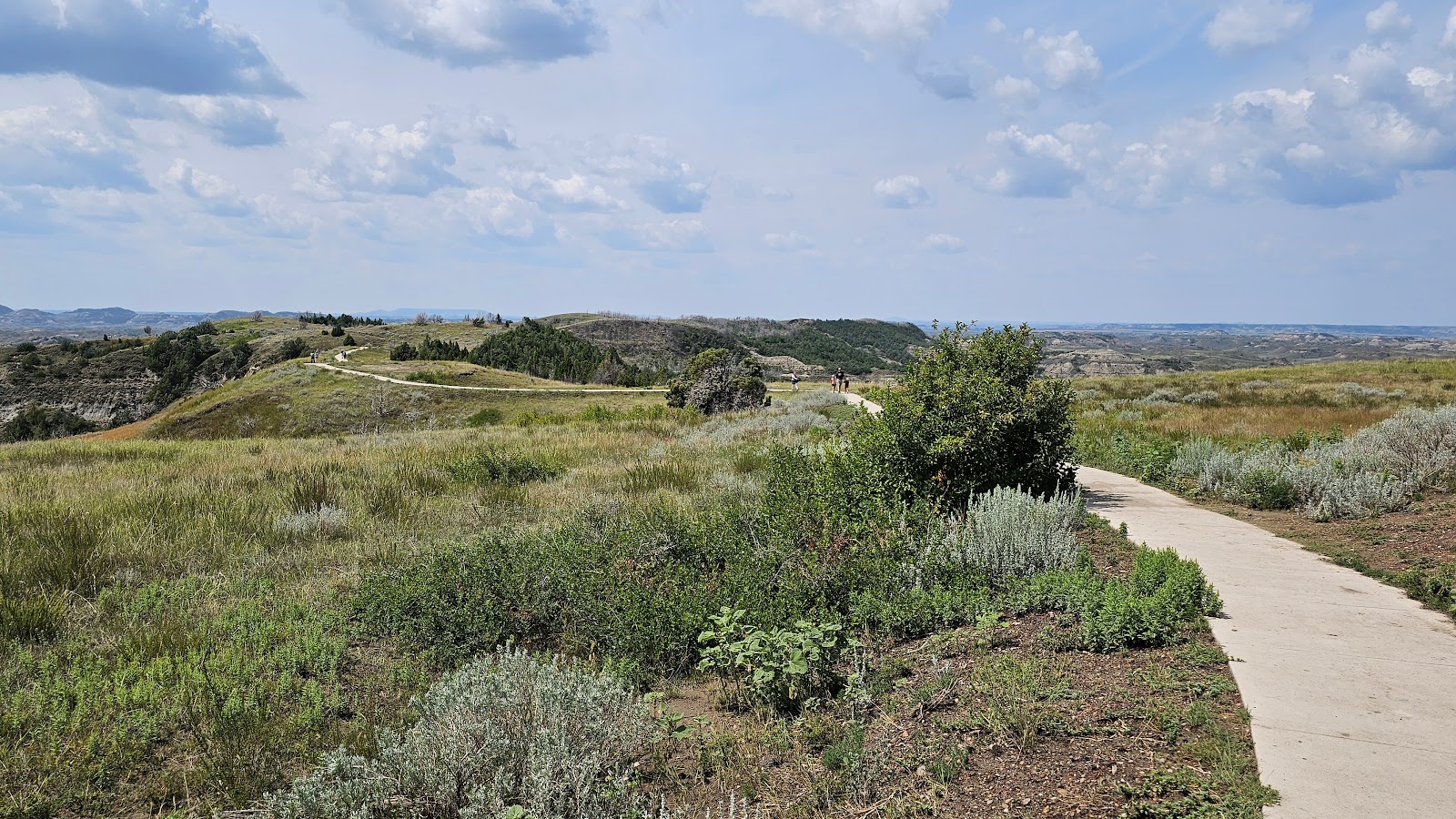 This is the .3-mile Boicourt Trail that leads to an overlook...
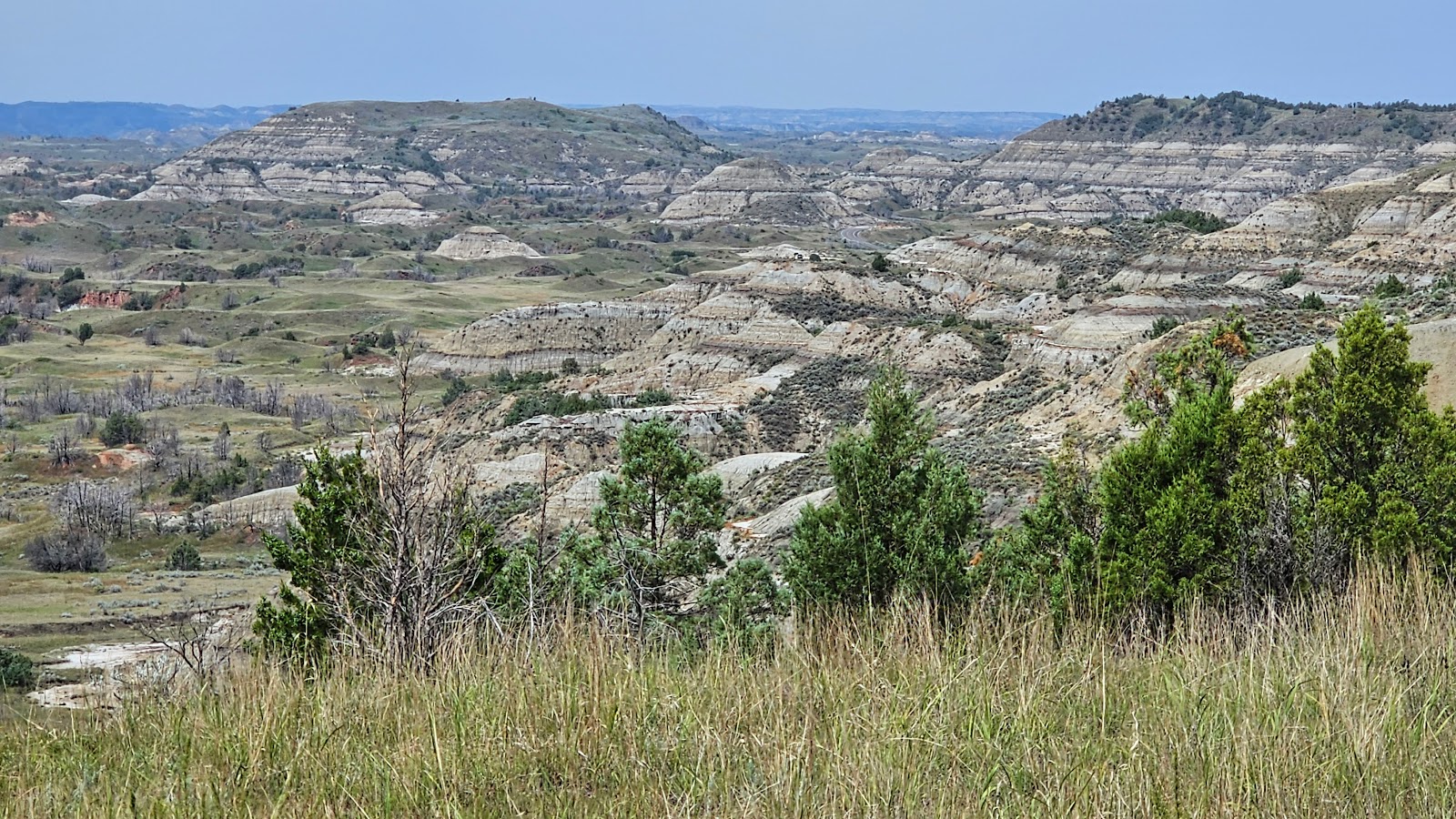 ...where you'll see this long distance view of the badlands.
 There's no mistaking where the "End of the Road" is. Time to turn around.
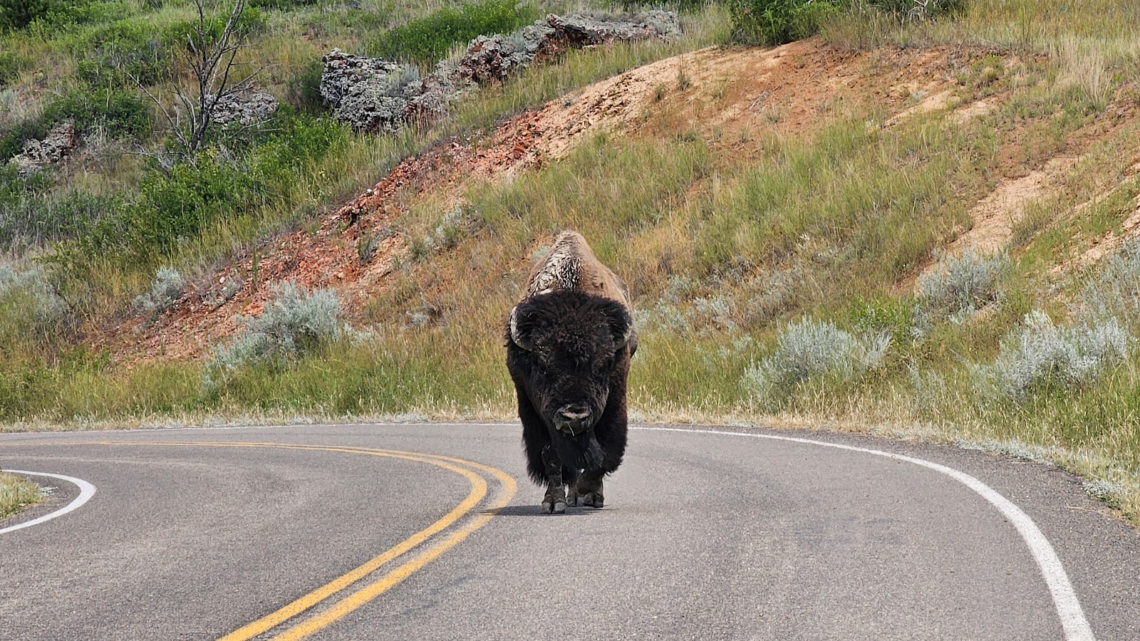 Oh no! Not another bison looking for a head butting contest (watch the video below).
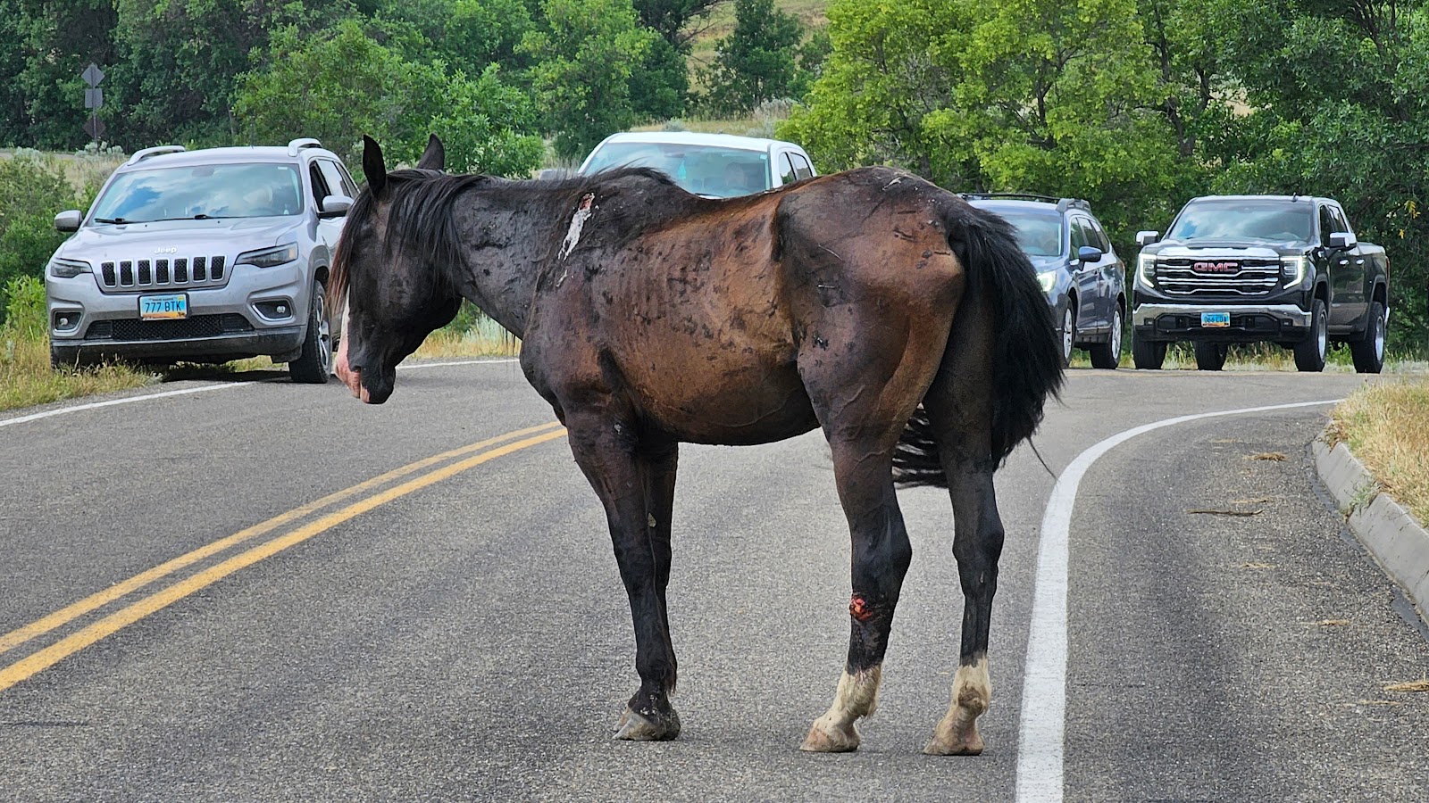 The same horse we saw earlier, only now he's feeling comfortable in the middle of the road.
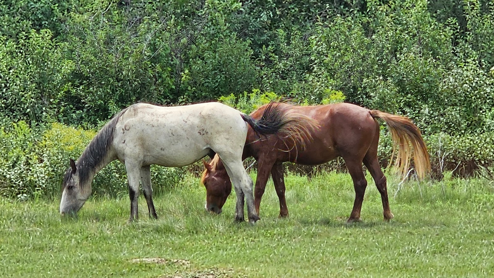 These two look familiar. They visited our campsite yesterday with a few of their friends.
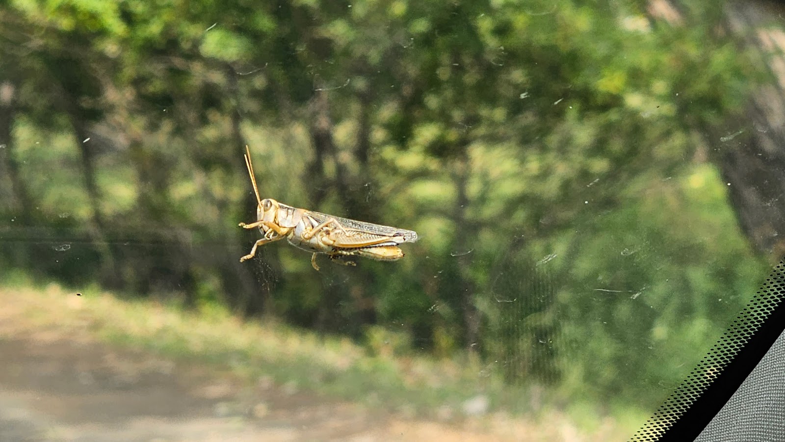 Looks like we picked up an unwanted hitchhiker on the windshield.


