

The last exit on Interstate-94 West in North Dakota is the town of Beach, ND. Here we found gas for $3.79 and the first station we saw in Montana was $3.99 in the town of Wibaux, MT. To most people 20¢ might not seem like a big deal, but when you multiply in by 30-gallons, that makes a $6 difference on every fillup. ROVER has a 36-gallon tank so 30-gallons is just a little over ¾ of a tank. We don't like to go below ¼ tank if possible.
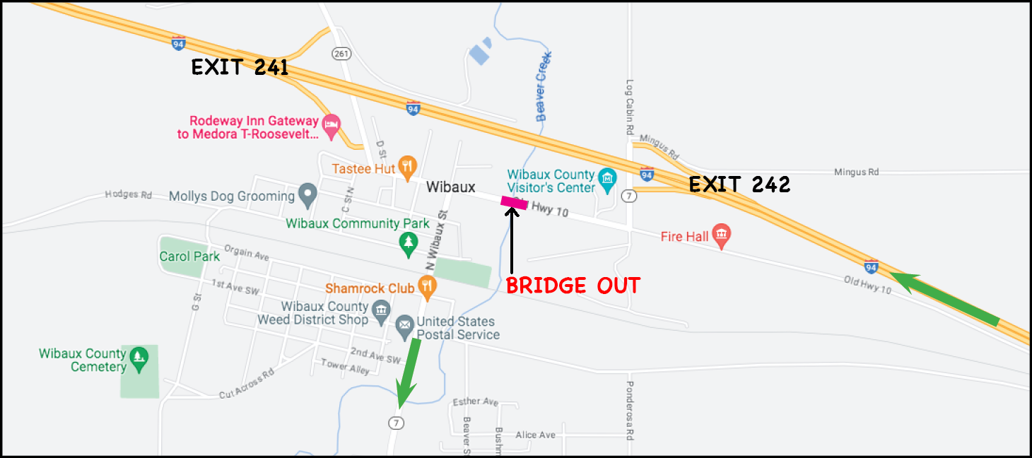
BTW - The bridge is expected to be out of service until late October if you're headed this way.
In order to head south on Montana Route 7 we had to first get back on the Interstate at Exit 242 and travel east (our only option) to the next exit 6-miles away, make a u-turn and head west on the Interstate and go right past town for another 6-miles before getting off the Interstate and making another u-turn to head east again so we could get off at Exit 241 on the west side of town which has access to Montana Route 7.
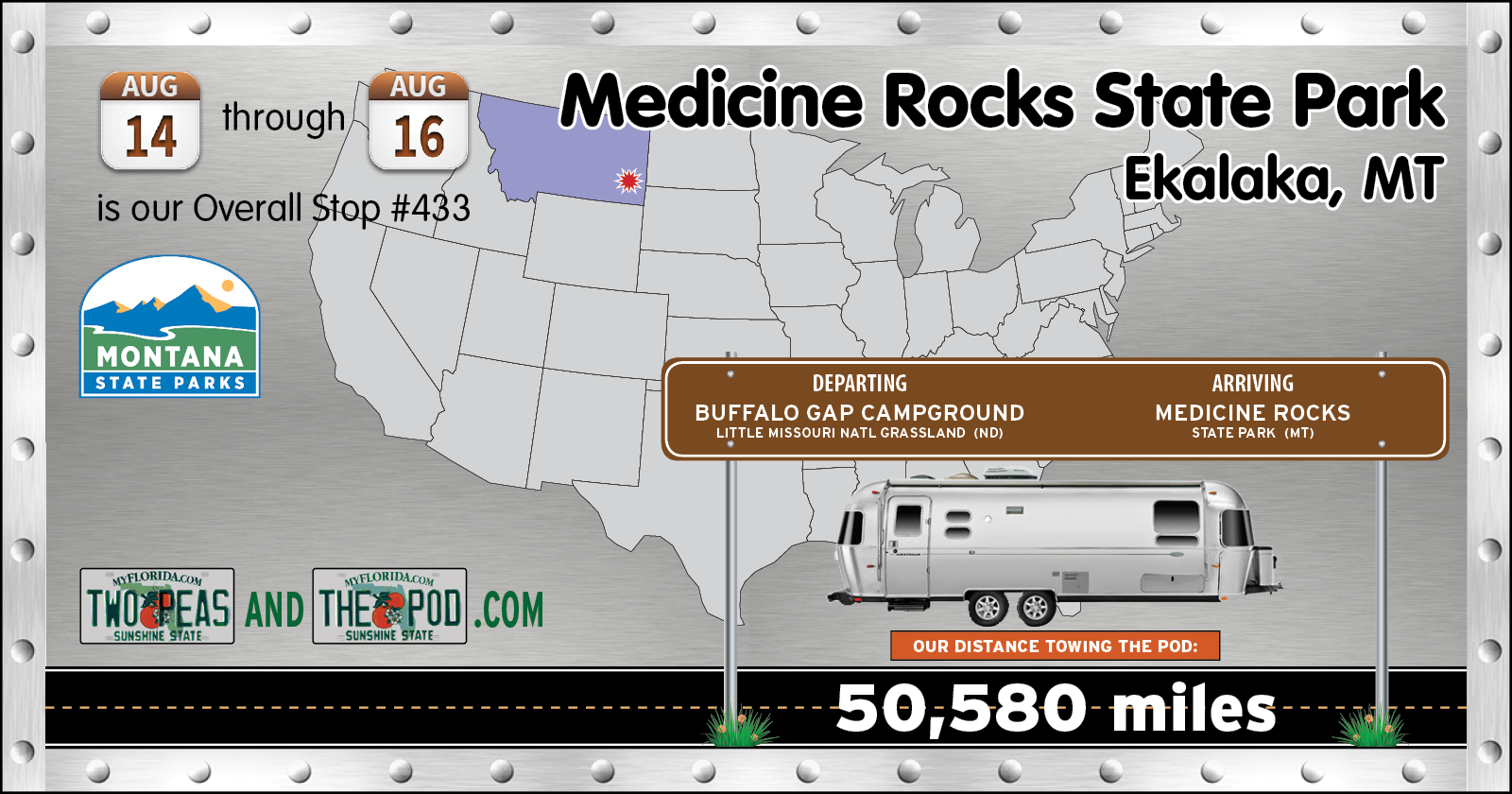
Once we finally managed to begin our travel on Montana Route 7 we had 68-miles to go to get to Medicine Rocks State Park, our destination for the next two nights.
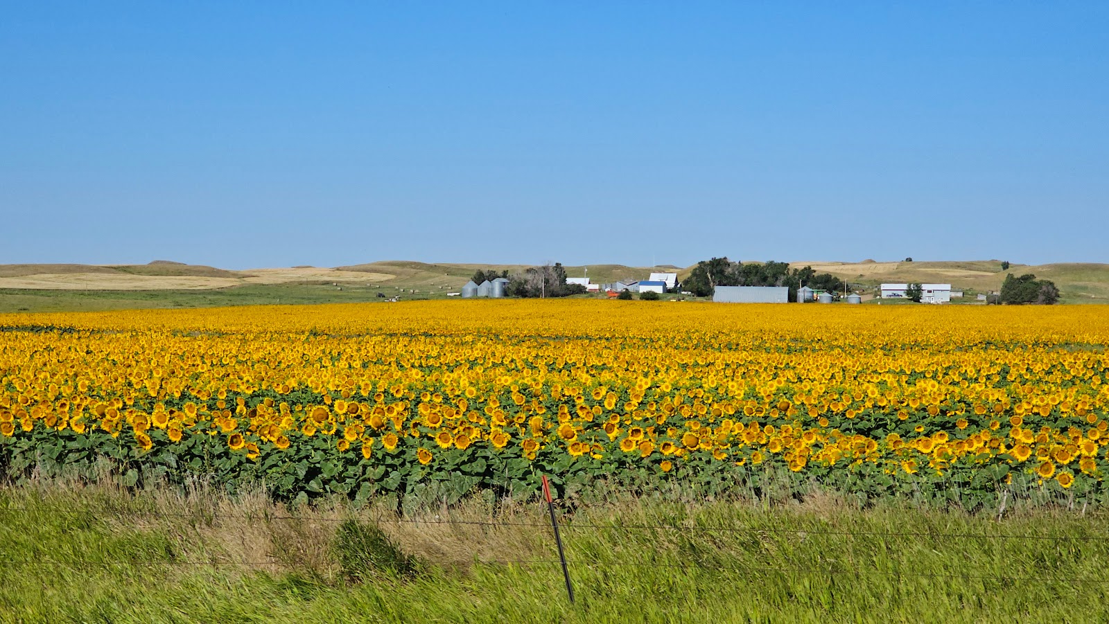
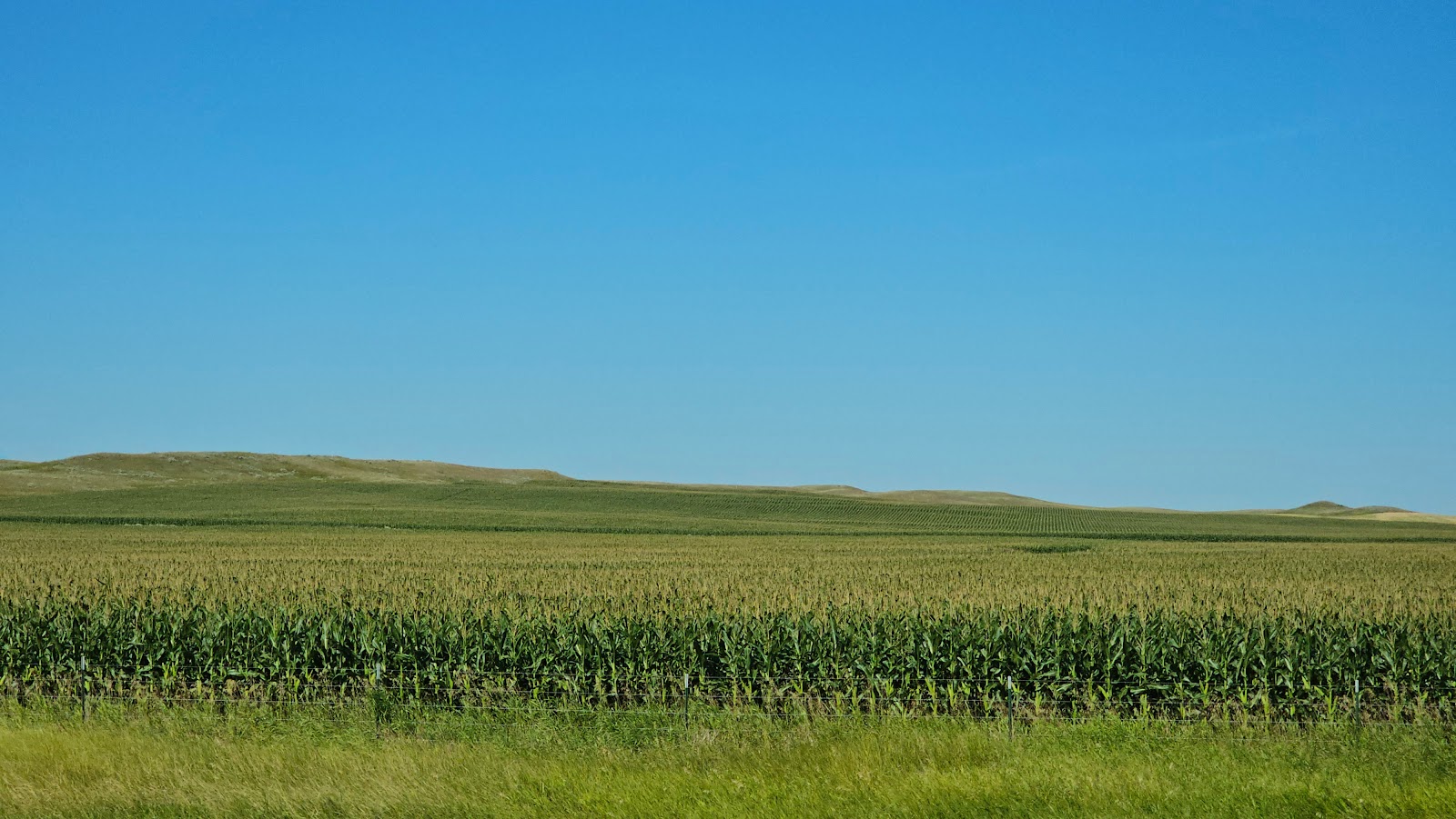
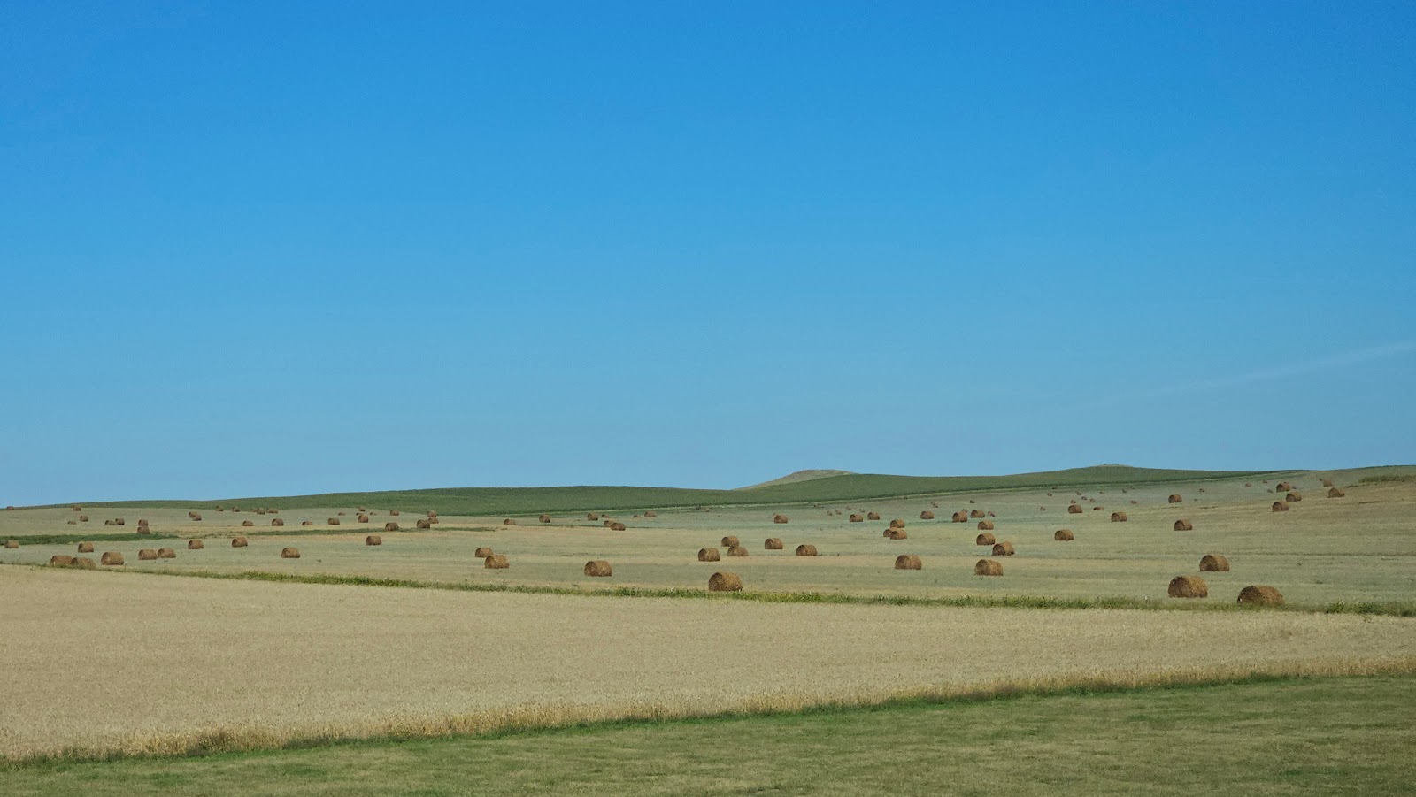
Along this stretch of road we saw a lot of Montana countryside, but not much else, other than...
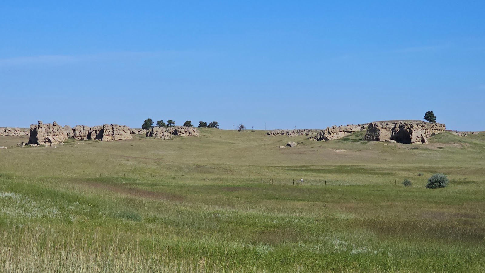

The Souix Indians aptly named this region "inyan-oka-la-ka" or "rock with a hole in it". Even right at the rear of our campsite there is indeed a large 40-foot wide "rock with a hole in it".
If you look deep inside the hole you'll see there's something very scary living in the hole.


Alright, enough fun for now, let's get out on the trail and see what there is to see around here.
THE SUNSET LOOP TRAIL
(our late morning view)
|
||||||||
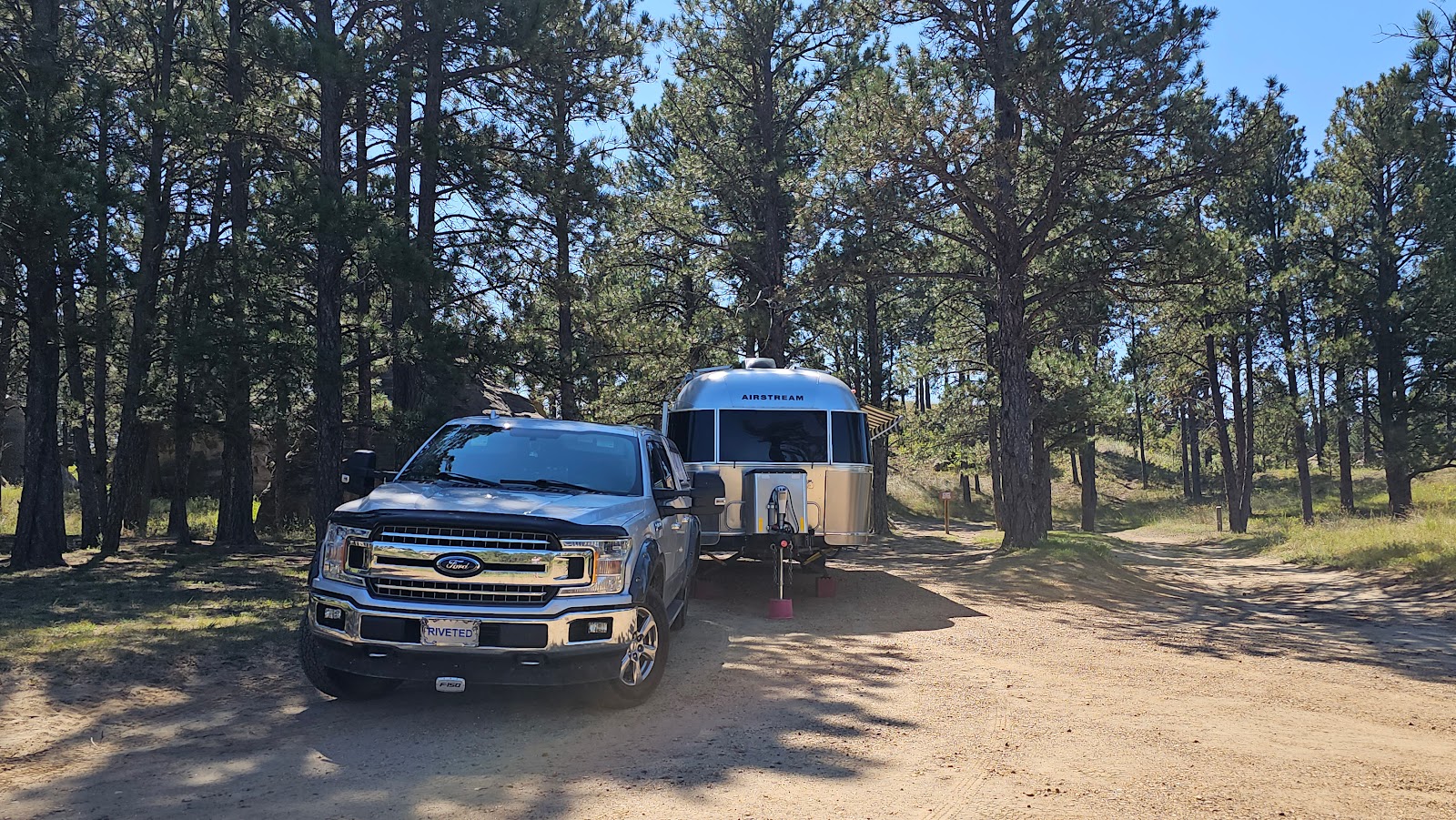
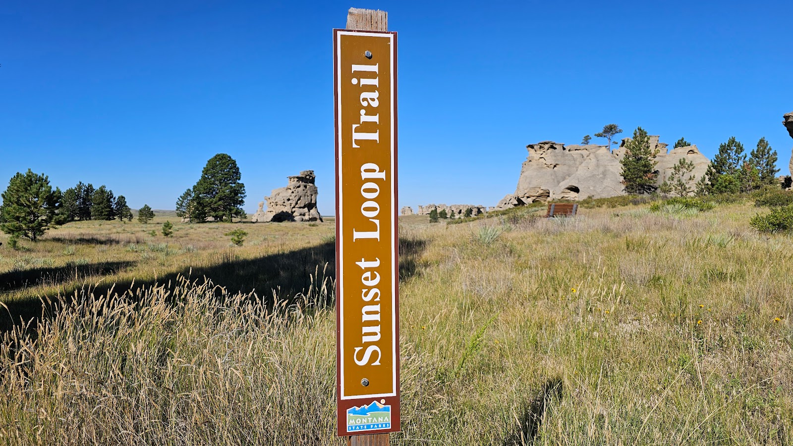 The ¾-mile long Sunset Loop Trail begins about 50-yards away from our campsite.
|
||||||||
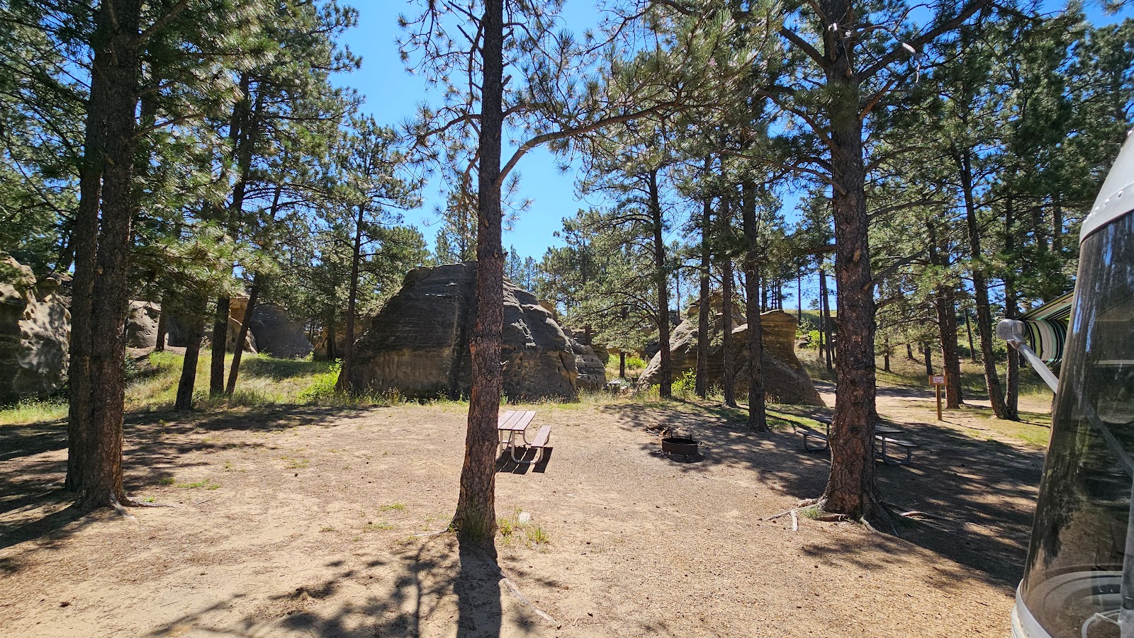
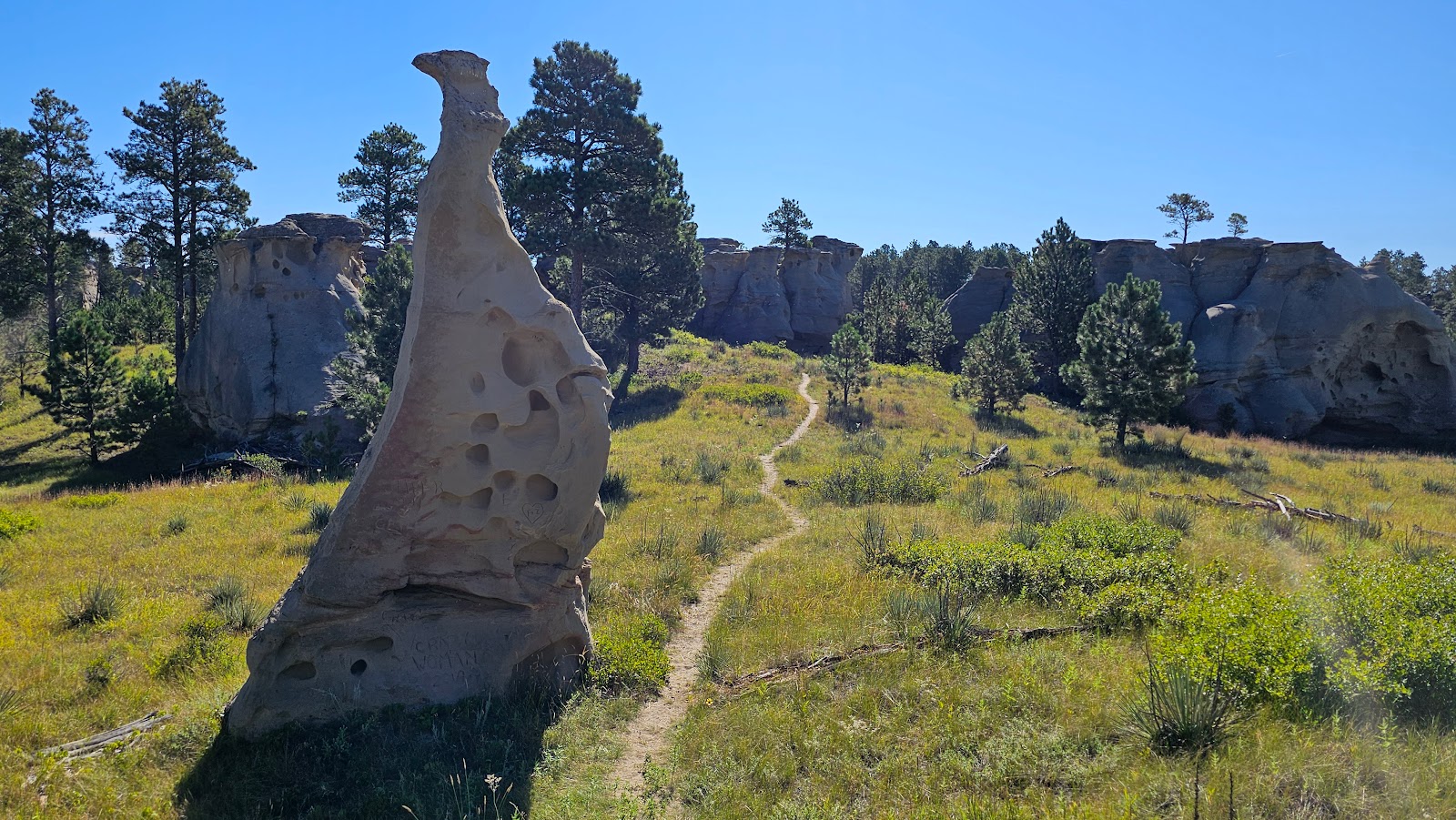
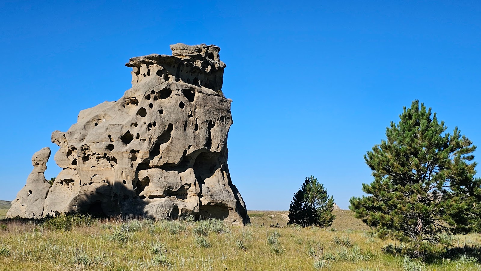 There are several stand alone highly eroded rock formations out here.
|
||||||||
 Other areas have rock groupings of several peaks close together.
|
||||||||
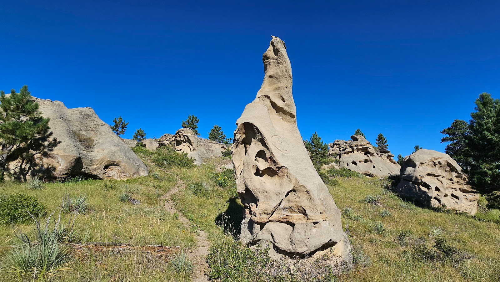 The trail meanders uphill among the rocks.
|
||||||||
 You'll eventually find yourself up on a ridge overlooking the nearby rock formations.
|
||||||||
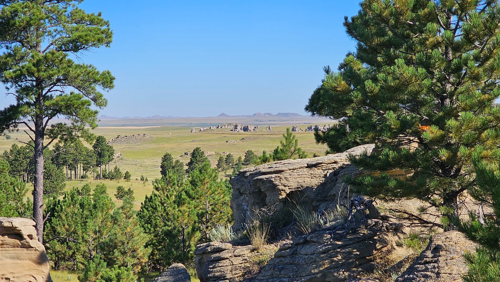 It's quite the view from up here.
|
||||||||
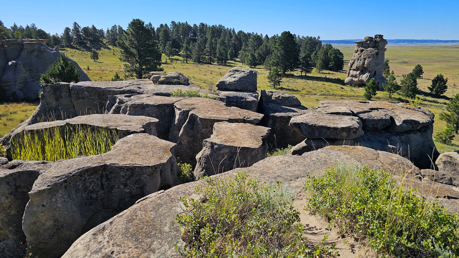 Here's a section of flat top rocks.
|
||||||||
 Time to decend back to the trail you can see on the right hand side.
|
||||||||
 It's pretty much flat back to the trailhead from here.
|
|

Would you like to be notified of new blog posts?


