

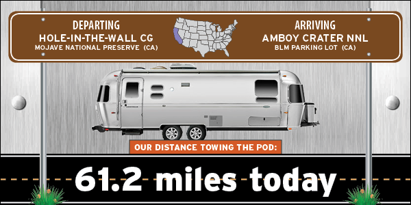
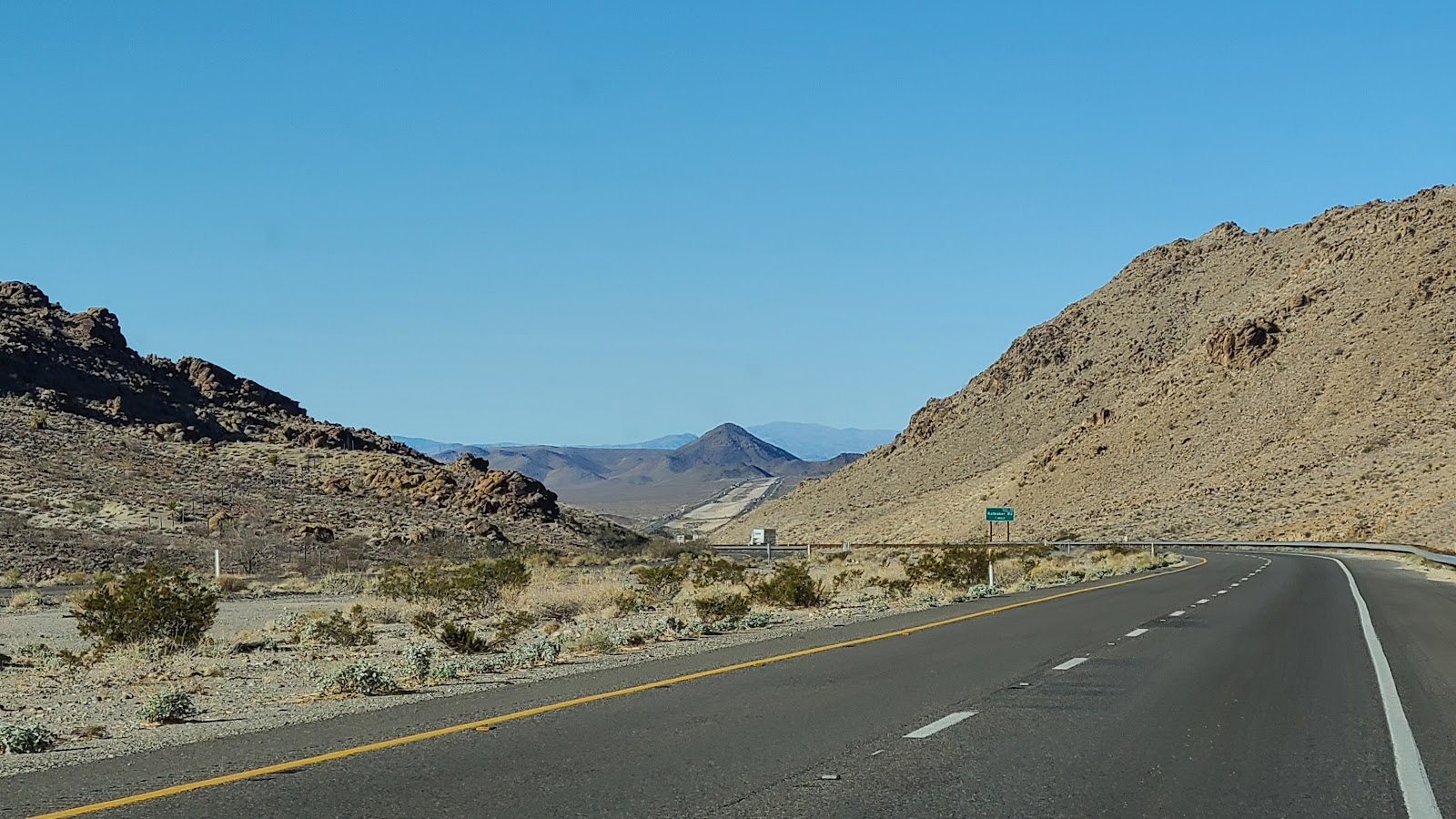
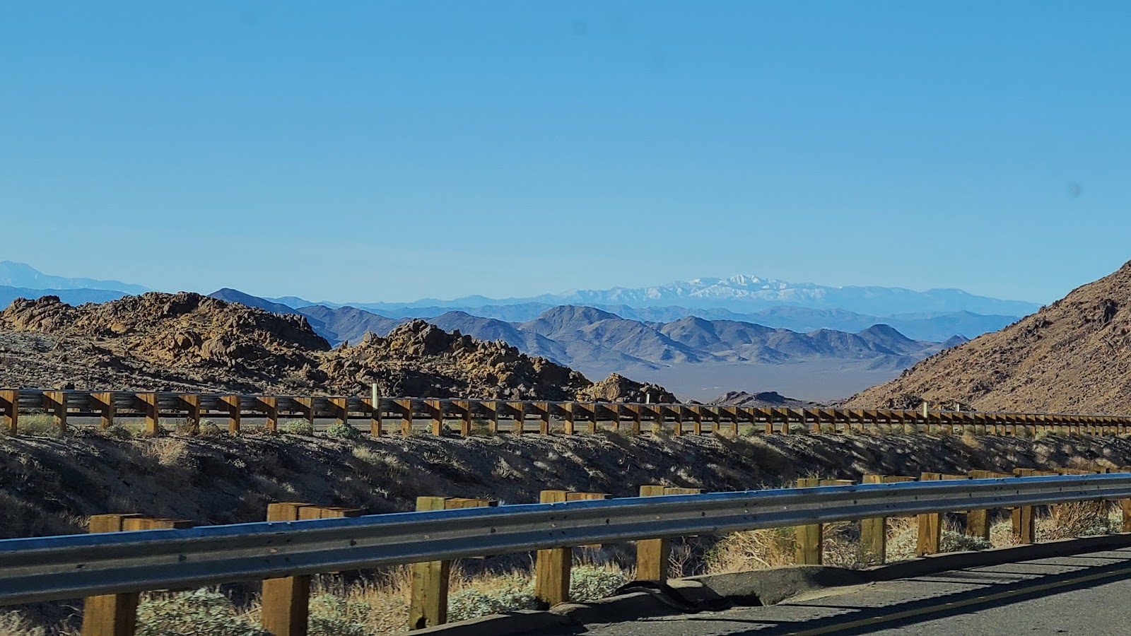
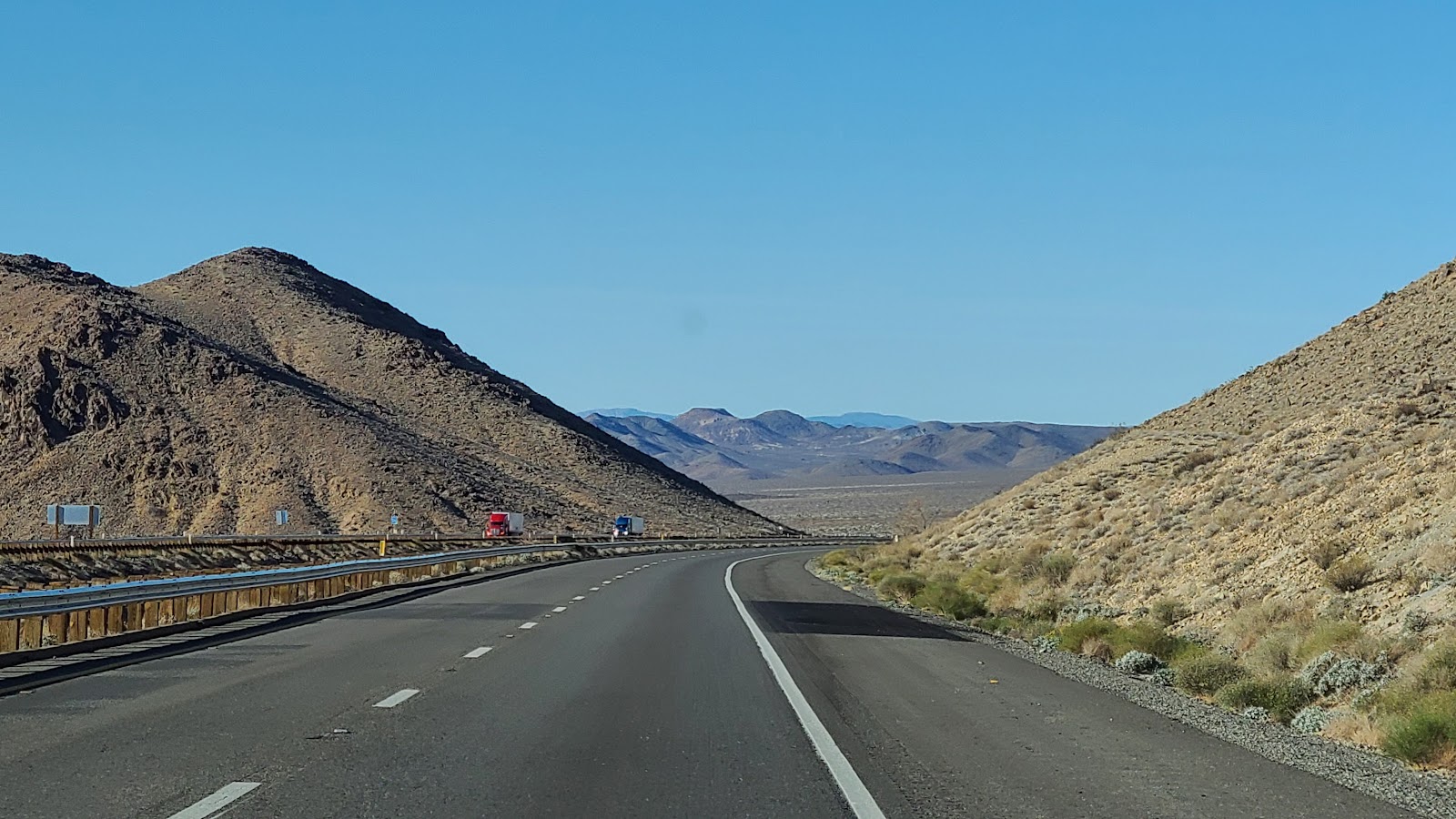
Next we started steadily climbing up and over a mountain pass. We were passing 18-wheelers left and right while traveling uphill at a modest 55MPH when the speed limit was 70MPH. By the time we reached the summit our 27MPG had dropped to a below average 7.5MPG and we still had 40-miles to go to reach our destination.
After traveling about 20-miles west on Interstate 40 we exited at Kelbaker Road and traveled 11.5-miles south to reach the National Trails Highway (Route 66). It was near this intersection where we saw a two white marble lion statues off the side of the road.

The lions are located just outside the town of Amboy, CA. The town was founded in 1883 and later when Route 66 passed through town in the 1930s business was good. It remained that way until 1973 when Interstate 40 was completed and bypassed the town which meant all that automotive traffic disappeared overnight.
Amboy is also famous because when things hit rock bottom the town was listed for sale on Ebay. Later it was sold for just $4000 but had a stipulation the town would be brought out of disrepair and once again be a viable source of employment. Today Roy's Motel and Café is the only business in town. It has a gas station, motel (closed), café (closed) and post office, employing a grand total of one person.
That's right, one! And they don't even live here.
We had a few items we wanted to mail out in Priority envelopes, but the sign on the door of the Post Office said to go see the person at the café across the street. That person said they just started working here and hadn't been trained on how to operate the Post Office. I found that a little bit weird!
He mentioned the actual Post Office employee shows up around this time on some days. The hours posted on the window and website states they open at 9AM, it was nearly 10AM when we were there. Oh well, we still have time to mail them to arrive before Christmas right?


Also note the fact there is an airplane behind that truck in front of the pumps.

That's when things got weirder!
After a car passed this young man drove his airplane out into the middle of Route 66
just to have his photo taken in front of the emblem painted on the roadway.
Then when another vehicle chased him from the roadway
he pulled the airplane into the parking lot for the motel, just like it was an automobile.

NOTE: I did not post these videos of the airplane stunt to get the young man in trouble (RW). I'm sure he's broken several FAA rules and I'm not sure where he landed the airplane, or how he's going to takeoff, because there were no official runways anywhere in sight.
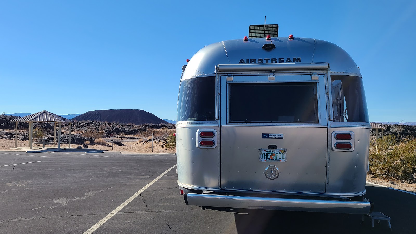
We are here to go hike into a dormant cinder cone volcano.
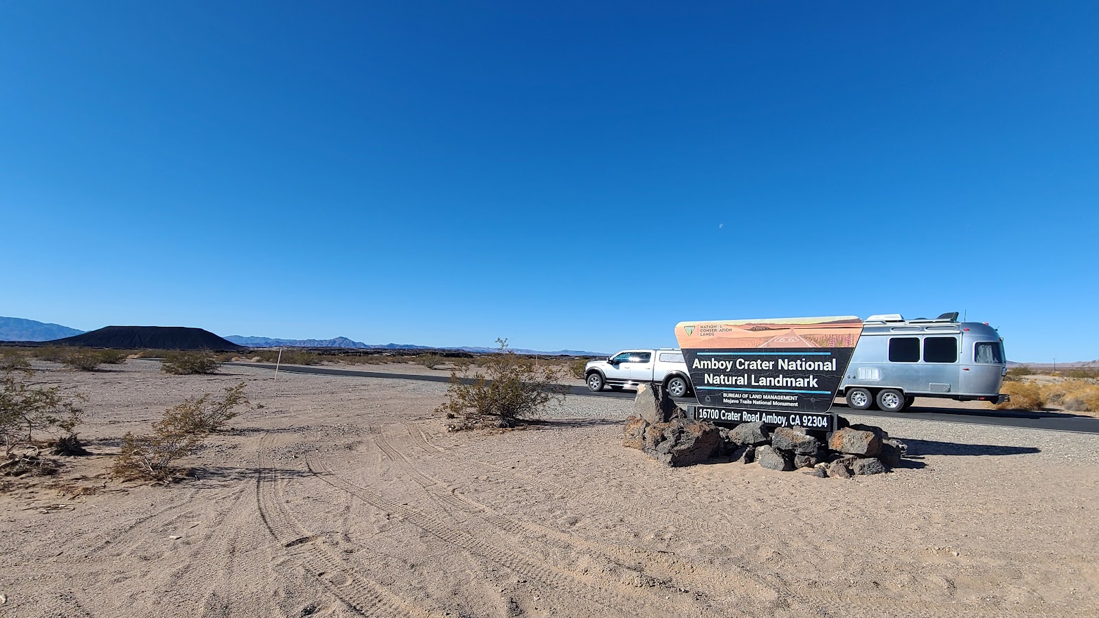
Outside the other side of town is a National Natural Landmark known as the Amboy Crater. It's a 1-mile hike to the base of the cinder cone, another 1-mile to hike up and around the rim, and of course another 1-mile to get back to where you started.
NOTE: To be fair, I only made it to the base of the cinder cone, Tricia went alone around the rim and down into the crater.
AMBOY CRATER
NATIONAL NATURAL LANDMARK
|
||||||||
 The trail starts out simple enough, right in front of where we're parked.
|
||||||||
 The trail is well marked with small informational signs every few yards.
|
||||||||
 Then the trail starts to gain a little bit of an uphill trend.
|
||||||||
 Once we clear a little rise you can see our destination off in the distance.
|
||||||||
 There is a rest stop about half way (½-mile) to the base of the cinder cone.
|
||||||||
 After the rest stop it's wide open flat terrain.
|
||||||||
 There is a second rest stop at the base of the cinder cone.
|
||||||||
 Just around the bend from the second rest stop you'll start your uphill hiking.
|
||||||||
 Looking back down once you reach the top.
|
||||||||
 From here you have to decide, down into the cone, or higher up and around the rim.
|
||||||||
 Tricia decided down into the crater first.
|
||||||||
 It's about ¼-wide from rim to rim.
|
||||||||
 Down in the bottom someone has built a labyrinth to walk.
|
||||||||
 This photo is from up on the rim.
|
||||||||
 Looking out over the lava field from the last eruption.
|
||||||||
 From this view you can make out three separate cones
from three separate eruptions over the last 10,000 years.
|
||||||||
 When the wall of the cinder cone collapse the lava flowed out into the desert.
|
||||||||
 One more look at the labyrinth.
|
||||||||
 The rim trail is starting to get narrower.
|
||||||||
 This is looking back towards the trailhead where we started.
|
||||||||
 See me waiting down there on my comfortable bench?
|
||||||||
 Nothing left to do but make your way back down.
|
||||||||
 And down some more.
|
||||||||
 There I am, waiting, just like I said I would!

Would you like to be notified of new blog posts?


