
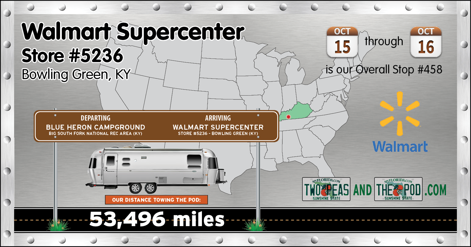

The 88-miles west part of today's route was a pleasure to drive, unlike our I-75 South experience on the previous moving day.

We entered the parkway at it's western terminus in the town of Somerset and followed it all the way to the eastern terminus where it merges into I-65 just north of Bowling Green.
Why is it such a pleasure to drive? It's because it was built as a "controlled access highway", in other words, when first completed there were only four intersections between the ends of the highway where you could get on or off. Today there are fourteen, but that is still limited enough to try and keep in from being used by locals to avoid the traffic lights and towns on U.S. 80 which parallels it the entire length.
The speed limit is 70MPH the entire distance, but with the extreme light traffic I had no problem traveling along at a leisurely 60MPH without feeling like I was hindering traffic.


If the name Bowling Green sounds familiar it might be because it's where Chevrolet builds all of their Corvettes. It's also where back on February 12, 2014 at 5:39 a.m. a giant sinkhole collapsed under the National Corvette Museum across the street and damaged or ruined 8 exotic corvettes, some were literally one-of-a-kind.
If you need to refresh your memory I'll include this LINK to the USA Today article complete with a 1-minute security camera video of the collapse.
If I were a Chevy guy you bet I'd be on a tour of the museum right now, but nope, I'm a FORD guy! So you may be wondering why we're here, spending a night in the Walmart just down the street from the museum. Well, it's because tomorrow morning we have tickets reserved for a cave tour across town, our 63rd since we started traveling.

This tour starts with a 10-minute walk in a park like setting where we learned all about the history surrounding the cave.
Like for instance, the cave served as Jesse James' hideout after his robbery of the Southern Deposit Bank in Russelville in March of 1868. Or that from 1935 until 1949 it served as an "air conditioned" dance hall thanks to the cool air that flowed out of the mouth of the cave.
LOST RIVER CAVE

|
||||||||
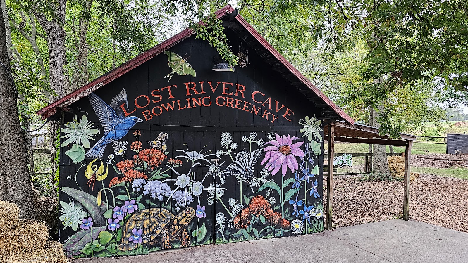 All around the 72-acre property is artwork and flowers that really brighten up the place.
|
||||||||
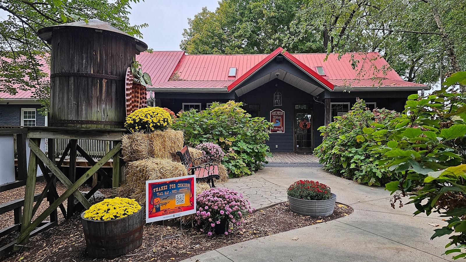 This is the entrance to the gift shop and office.
|
||||||||
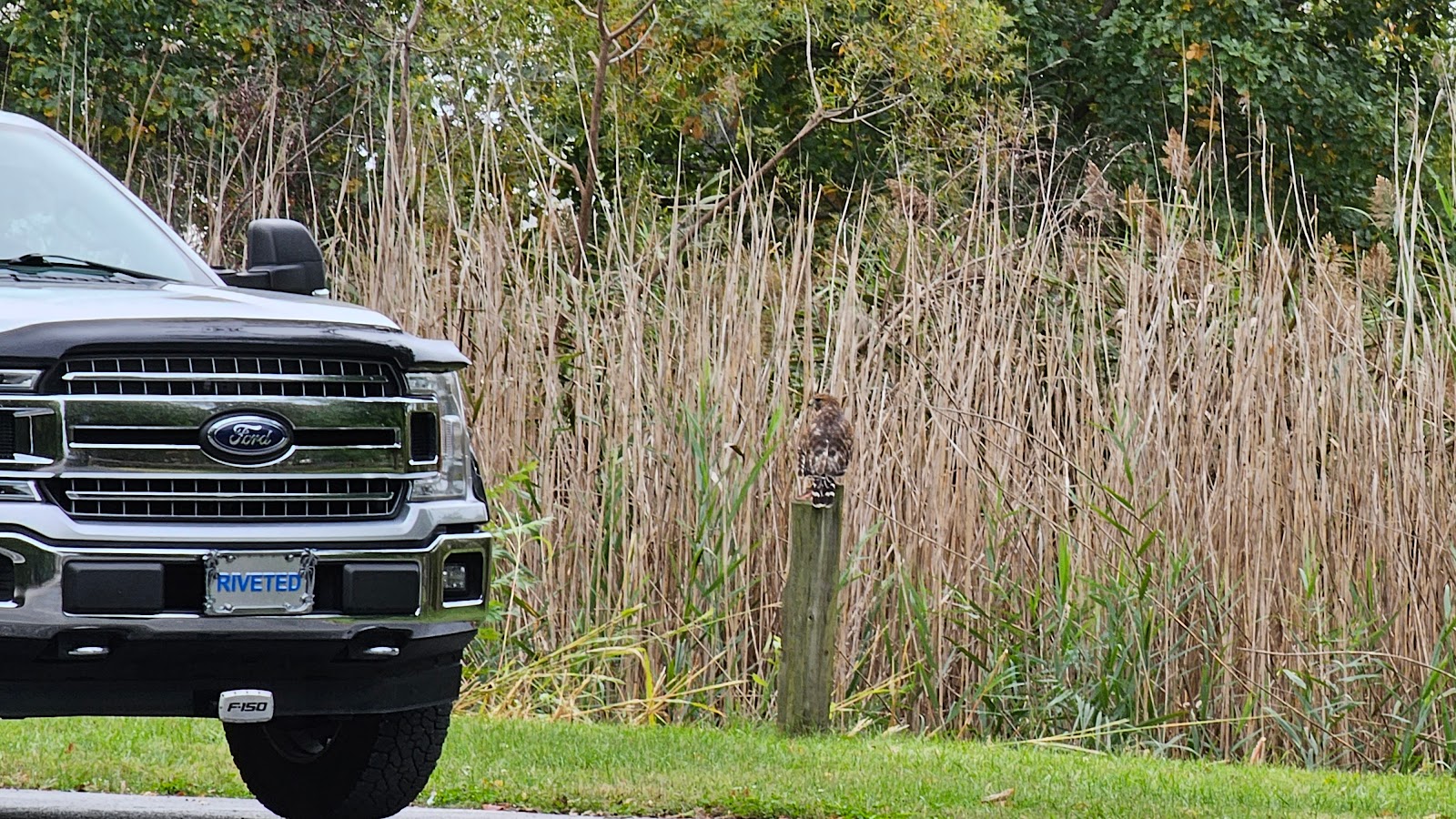 We had a hawk watching over ROVER and THE POD while we went on our tour.
I'm sure that not one single rodent got into any of our space while we toured around.
|
||||||||
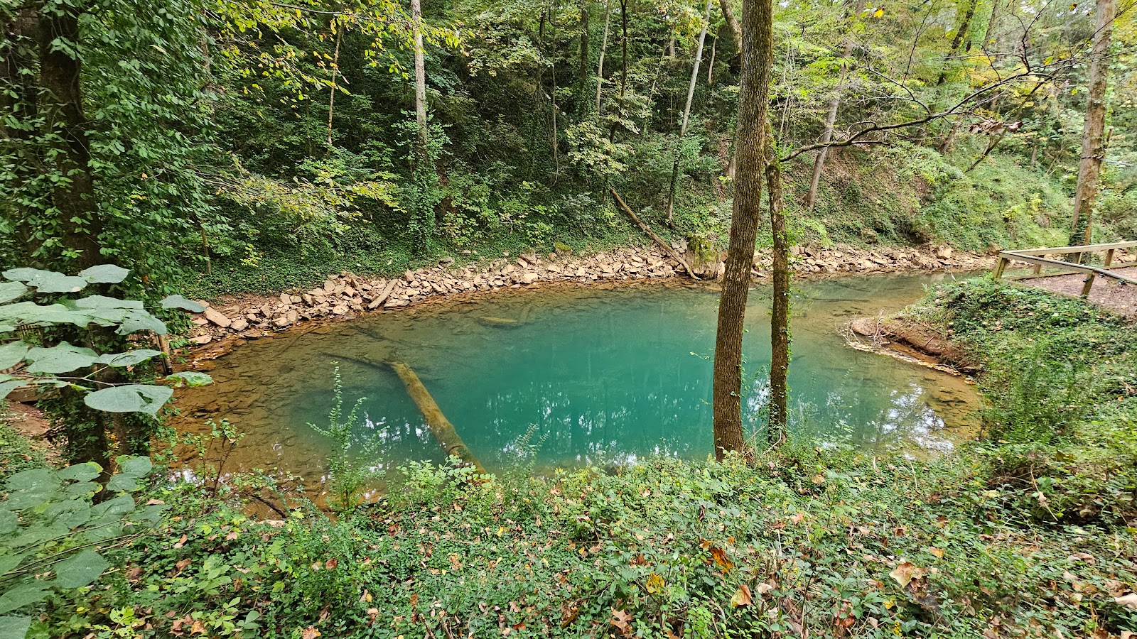 This is called "The Blue Hole" and is one of four springs that sends water through the cave.
It's called the "Lost River' because the river dissappears underground several times.
|
||||||||
 Although it is much smaller, it reminds me of the springs in Central Florida.
|
||||||||
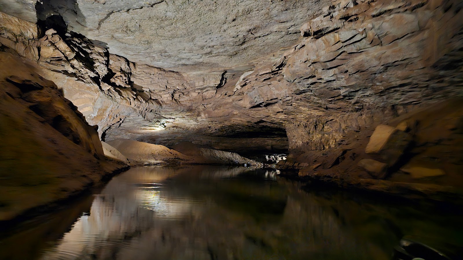
 This is the large entrance to the 7-mile long cave.
|
||||||||
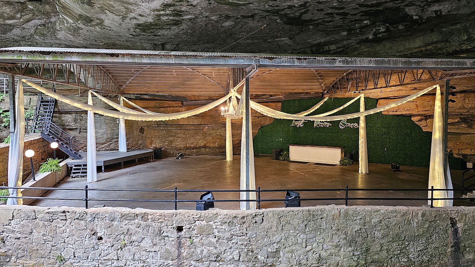 This is the old dance hall floor, today they hold weddings and other events here.
|
||||||||
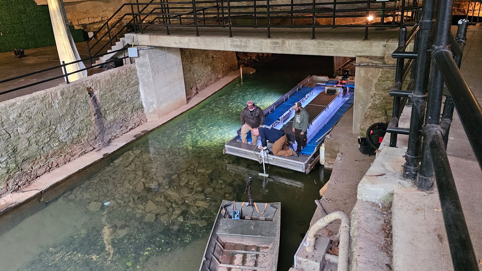 I sure hope those three guys aren't repairing the boat we're supposed to be on.
|
||||||||
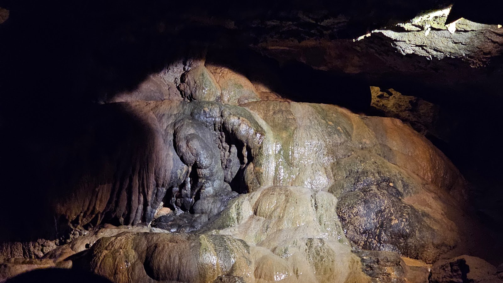 Once inside the cave we saw this large flowstone formation.
|
||||||||
 Most of the cave has very high ceilings, except you do have to duck your head at the entrance.
|
||||||||
 Way up there is where Jesse James hid out from the sheriff.
|
||||||||
 The winding route through the cave.
|
||||||||
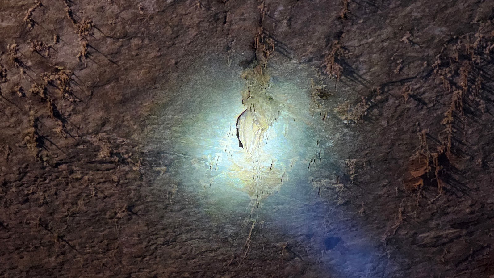 Up on the ceiling we spotted a few smaller stalactites.
|
||||||||
 More of the familiar cave formations up on the wall.
|
||||||||
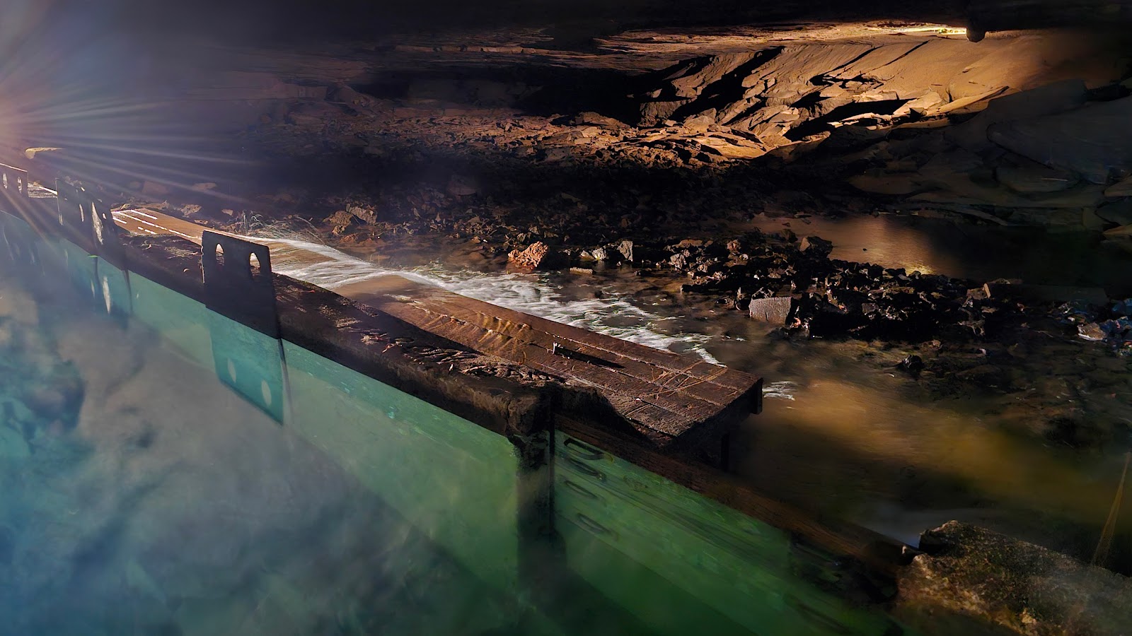 About a half mile into the cave they've constructed a dam
that allows them to maintain a water level suitable to offer boat tours year round.
|
||||||||
 We're back outside now at the cave entrance, or exit I guess now.
|
||||||||
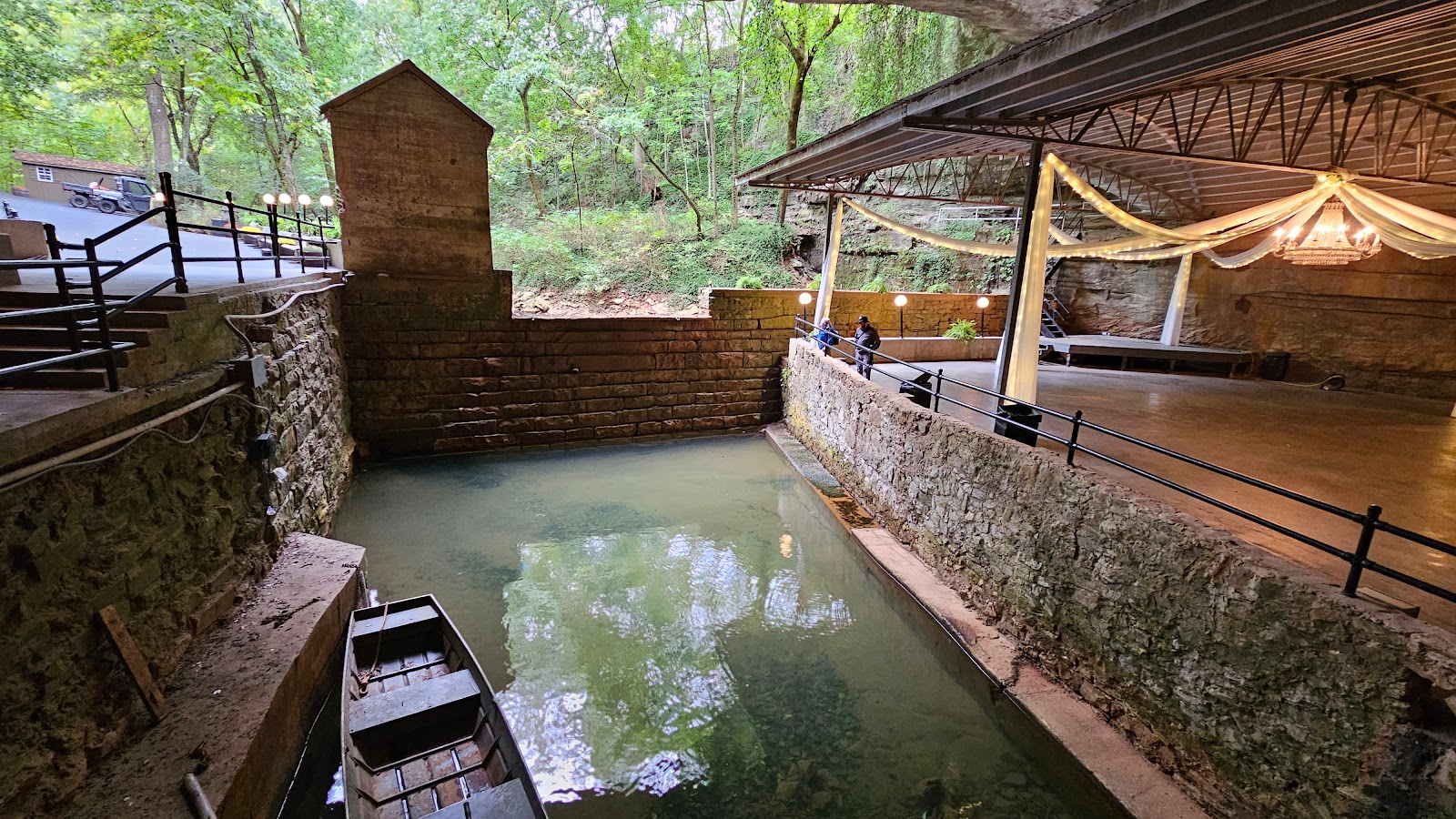
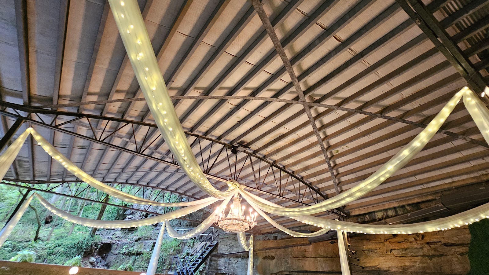 They placed a roof over the dance floor in the 1990s
to keep people from getting dripped on when it rained.
|
||||||||
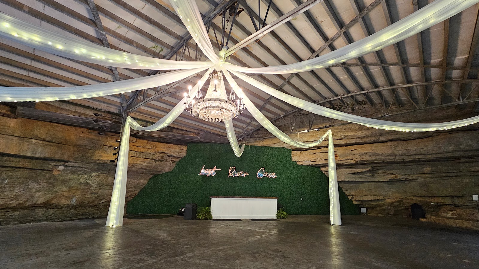 It really is quite a unique venue for a wedding. This year they've held over 60 weddings here.
|
||||||||
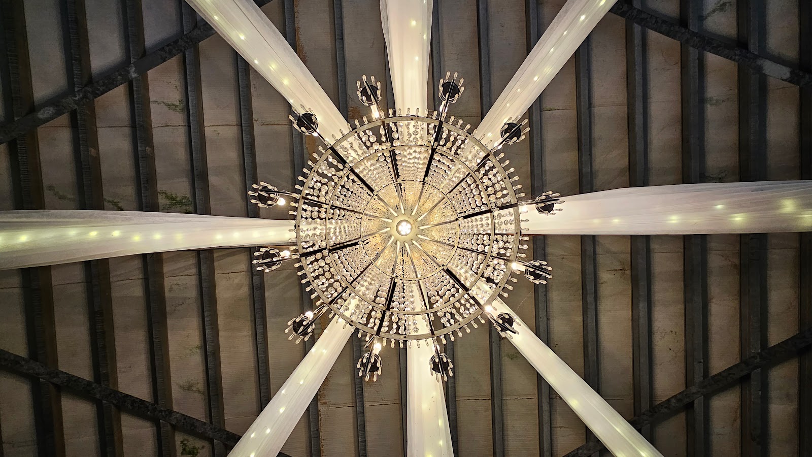 That is one fancy chandelier.
|
||||||||
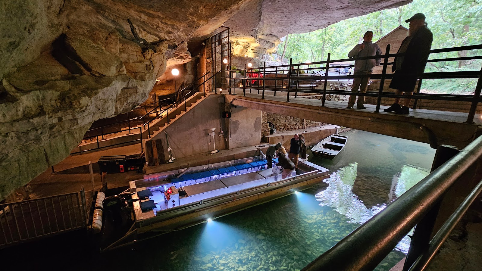 Here's me thanking Becky, our wonderful tour guide, for a wonderful experience.
Those three guys are still working on getting that boat fixed.
|
|

We still have a little westward travel for this morning before we make a turn for the south. When we get near the western edge of Kentucky we'll be driving through an area known as "The Land Between The Lakes".


Both the Cumberland and Tennessee Rivers are tributaries of the much larger and longer 981-mile long Ohio River.
This entire area is managed by the United States Forest Service, plus there are a few Army Corp of Engineers campgrounds up by the dams at the north end of the lakes.
We camped here for a week back in September of 2021 when we were returning from Pennsylvania after we had our second solar equipment upgrade installed.
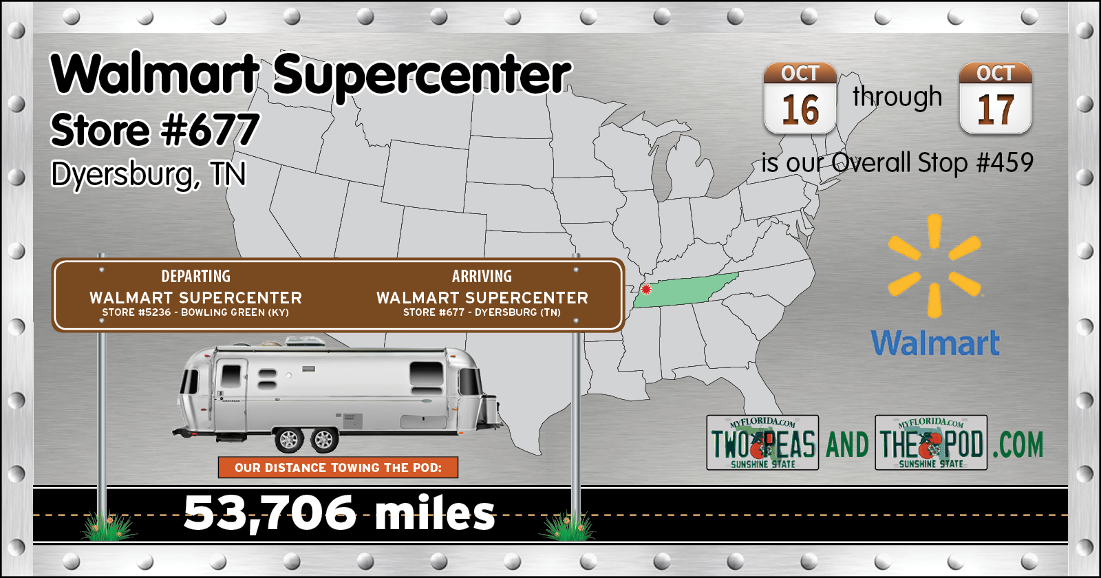
For only the 3rd or 4th time that I can remember we were told by Walmart that overnight parking was not allowed at their location, that being Union City, TN.
Lucky for us just another 30-miles down the same road we would have been traveling tomorrow there was another Walmart that does permit overnight parking. It also meant that our 170-mile travel day turned into a 200-mile travel day, which shortens tomorrows travels to just 150-miles.
Yes, we're moving at a rather quick pace for us, but that's because we have somewhere to be, on a certain date, not to far off into the future that we don't want to miss.
Would you like to be notified of new blog posts?


