

First off you'll need to know we stopped at the dump station to empty our tanks on the way out of the campgroud, that took about "¼-hour" to accomplish.
Then we needed to backtrack 17-miles out of the Daniel Boone National Forest along those winding country 2-lane roads with no shoulders at 35MPH, even though the speed limit is 55MPH. There goes another "½-hour" out of our day.
When we finally got back into the town of Corbin and within sight of I-75, that's where we stopped at Sonny's BBQ to eat lunch. The closest place we could find to park ROVER and THE POD was next door behind the Pilot Truck Stop, with all the other 18-wheelers.
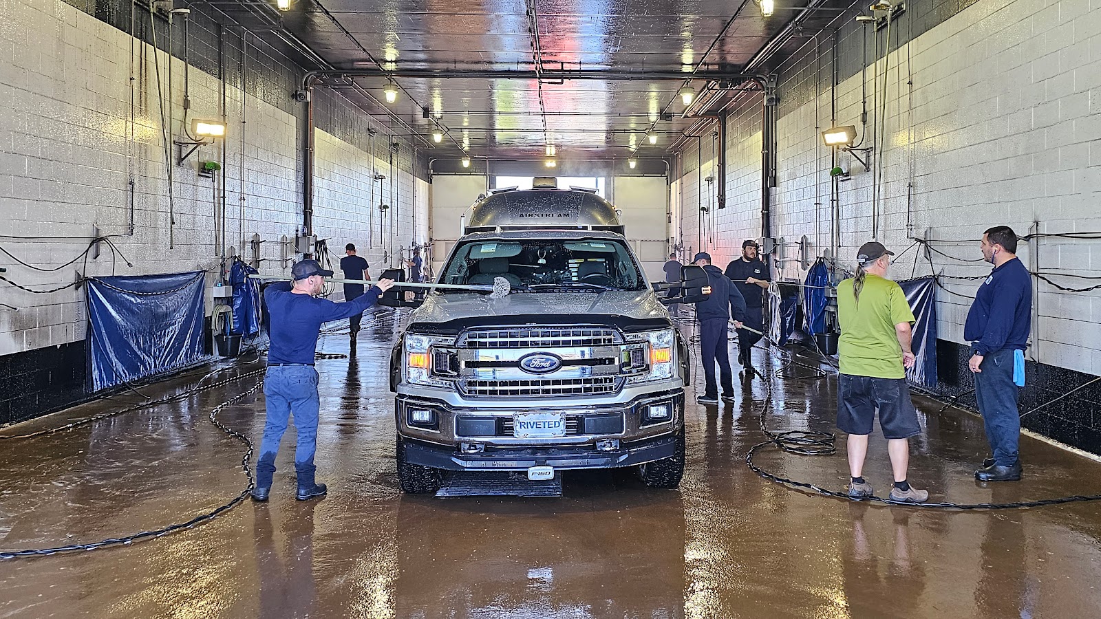
After a quick and delicious "¾-hour" lunch (Sonny's BBQ Beans are my absolute favorite) we crossed under I-75 and into the waiting line at Blue Beacon Truck Wash, which we spotted two days ago on our way through town.

Our route has us traveling south for 17-miles on I-75 and about 6-miles down the road the traffic came to a complete stop. For the next 7-miles we never once traveled over 25MPH and most of the time in was below 5MPH. Guess how many exits there were along this 7-mile stretch, exactly one, and it was just ½-mile before the roadblock.
The roadblock was caused by repair work being done to the bridge that crosses the Cumberland River on I-75 South, the northbound bridge appears to be just fine. The road goes down to 1-lane while crossing the bridge and then it was back to the normal highway craziness while people tried to make up for the lost time. I'm glad we only had another 4-miles to go to get to our exit.
All this just to say it took us "2½-hours" to travel 17-miles on the 70MPH Interstate!
We are now 5-hours into our commute, and we still have 28 of the original 65-mile route to cover, so we're only a little over halfway there.
First order of business after leaving the Interstate is to find a place to pull over and relieve the pressure building on my bladder. Lucky for me, we're towing a nice and clean private bathroom along behind us.
I'm happy to report the rest of our commute went without any problems and it wasn't long before we had settled into our new home for the weekend.
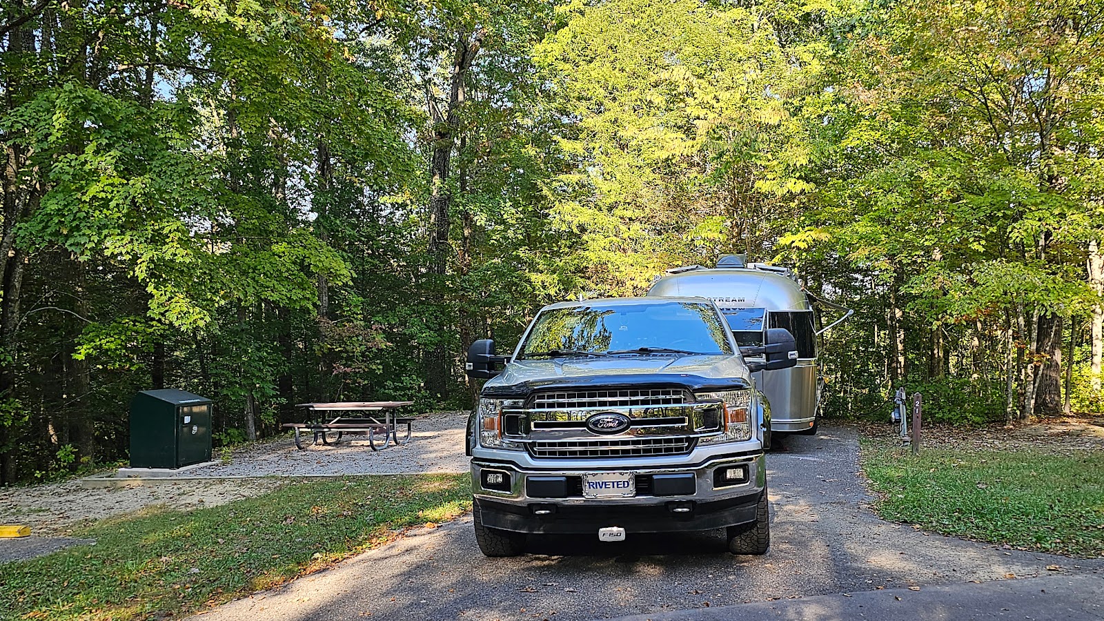
Water and electric on site, a dump station and clean hot showers, all included.
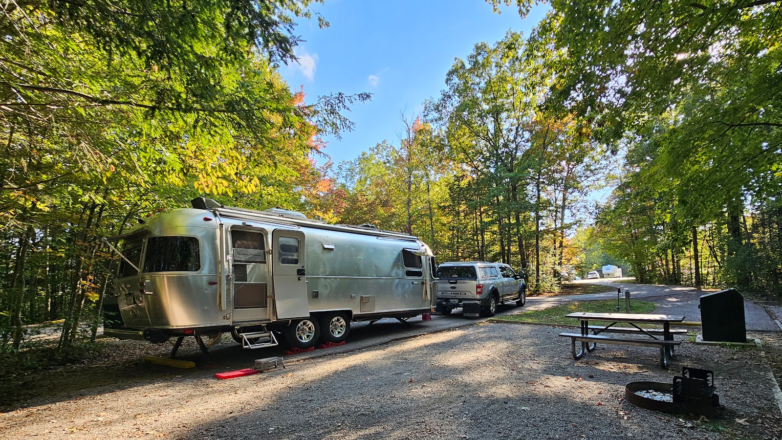
that is until Saturday when the weekend crowd will fill this campground.

Along with the rain comes the clouds, and that's not what we were hoping for during the noontime hour when the annular solar eclipse should be most visible in our area. We are in the 45% bracket when it comes to per cent of totality viewing here in Kentucky, so it won't look anything like the "Ring of Fire" that those lucky few will see from Oregon down through southern Texas, but 45% will look like a nearly half covered sun.
We think we've found a pretty good spot to watch the eclipse from, as long as the cloud cover isn't too dense.
BLUE HERON OVERLOOK
|
||||||||
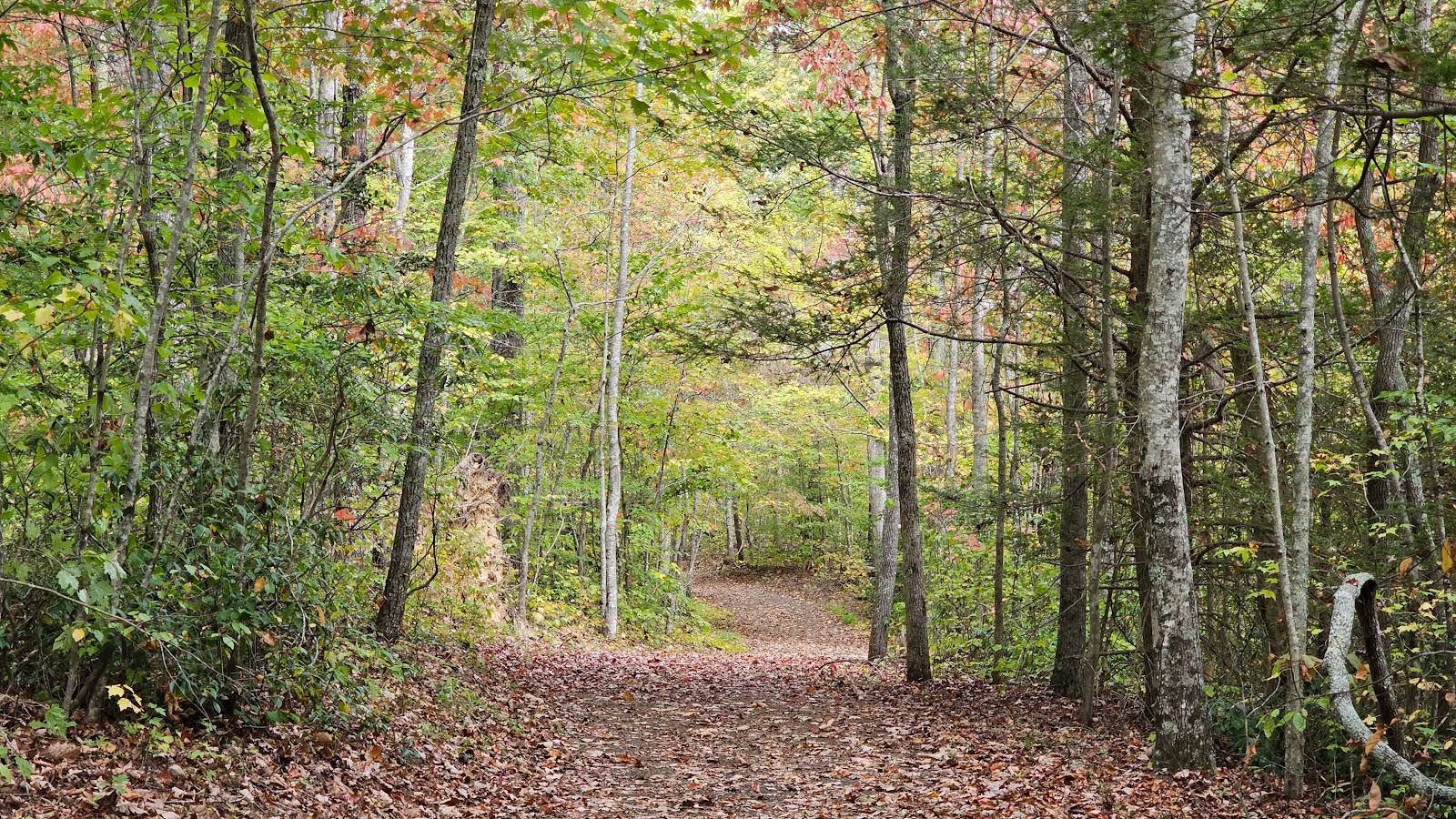
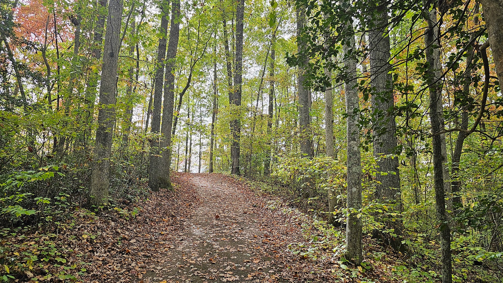 The trail from the parking lot to Blue Heron Overlook was relatively short,
but also relatively all uphill.
|
||||||||
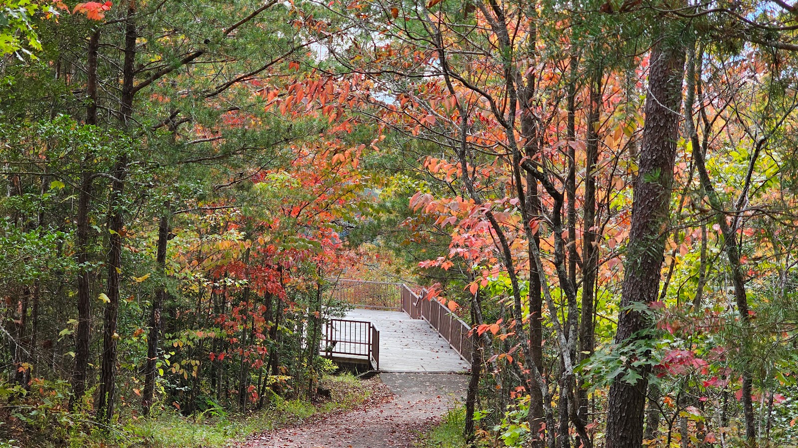 The final approach to Blue Heron Overlook.
|
||||||||
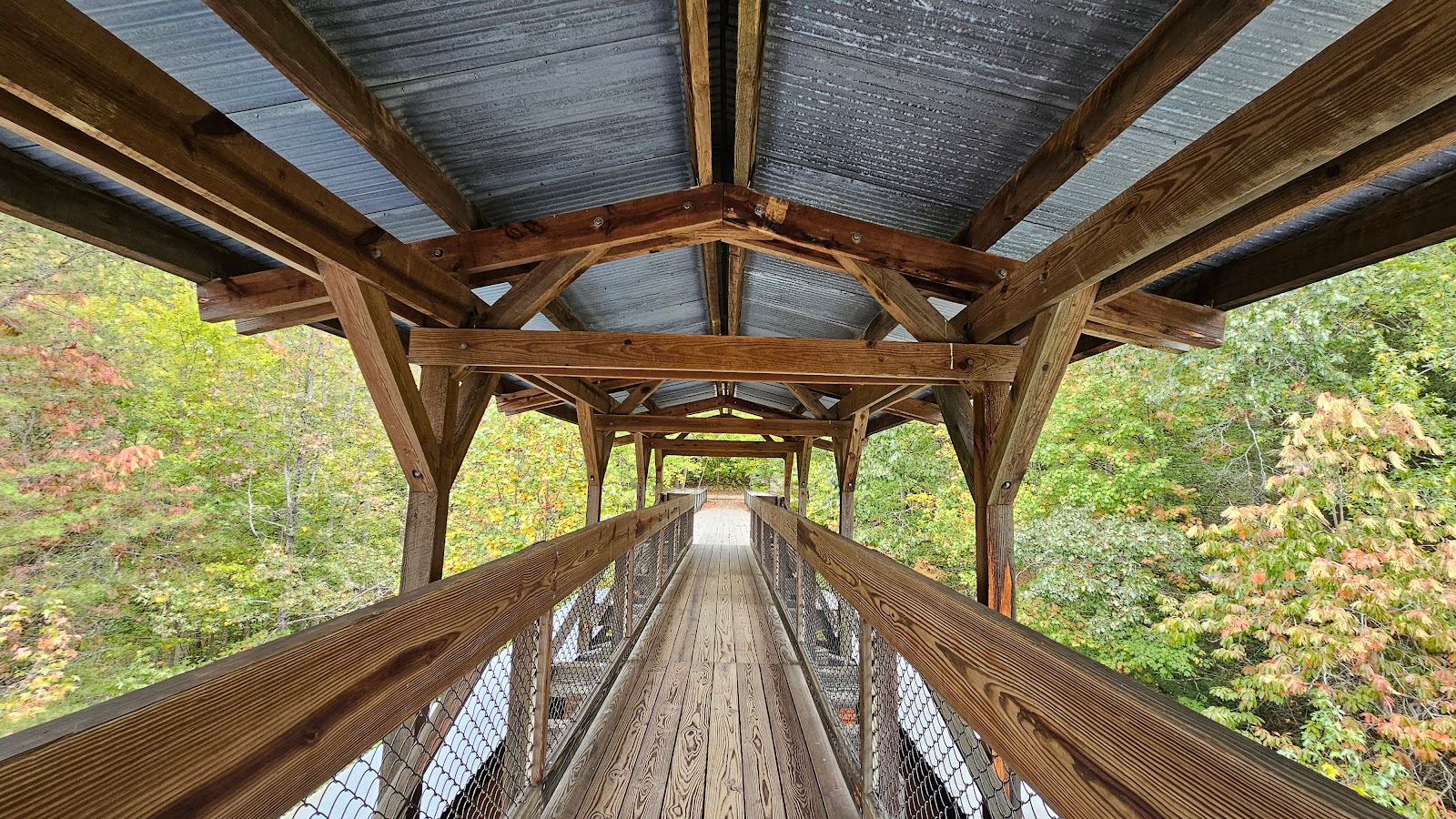
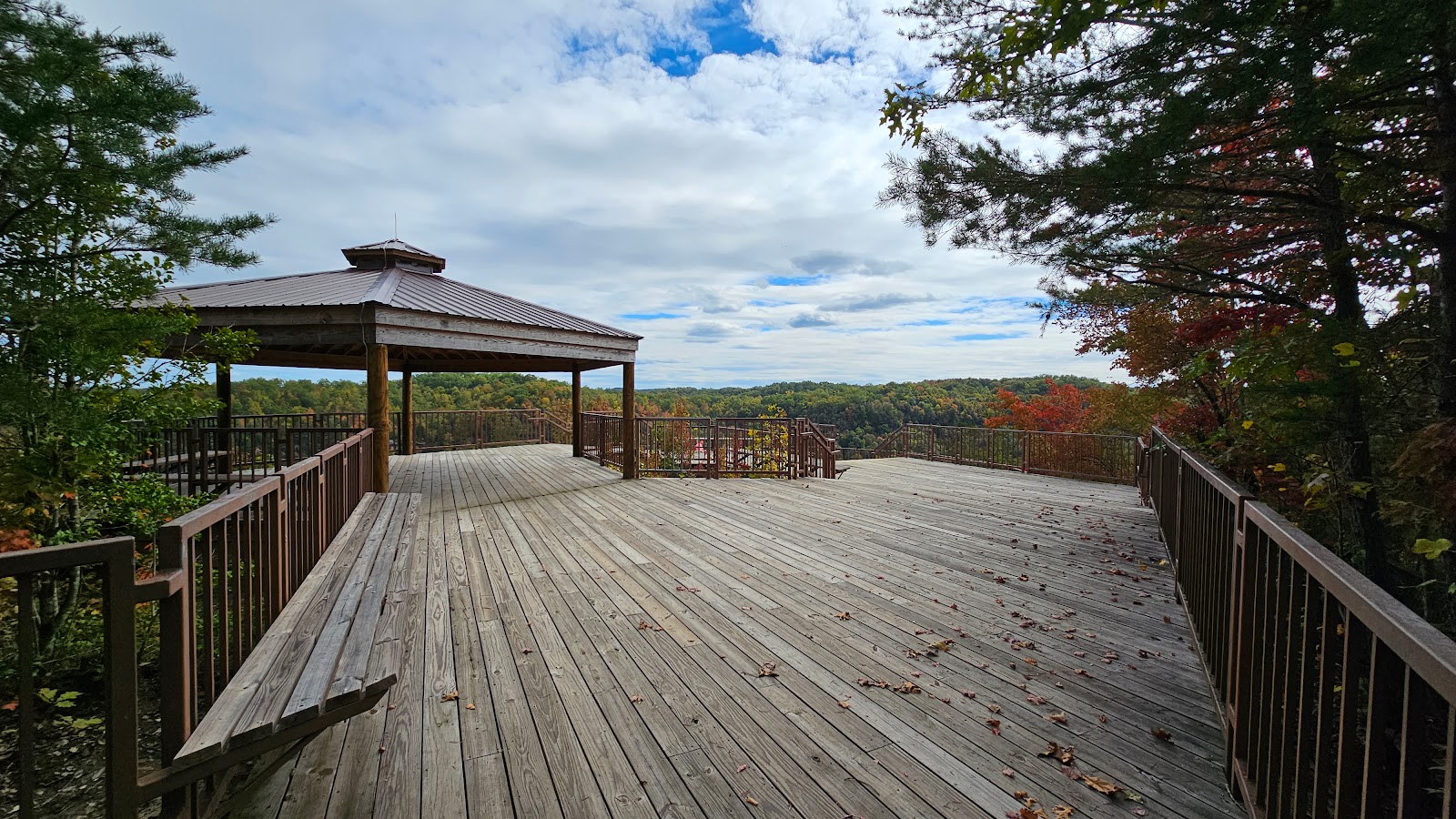 It was quite an impressive deck at the overlook and would have been
the perfect place to watch the solar eclipse from had there been less cloud cover.
|
||||||||
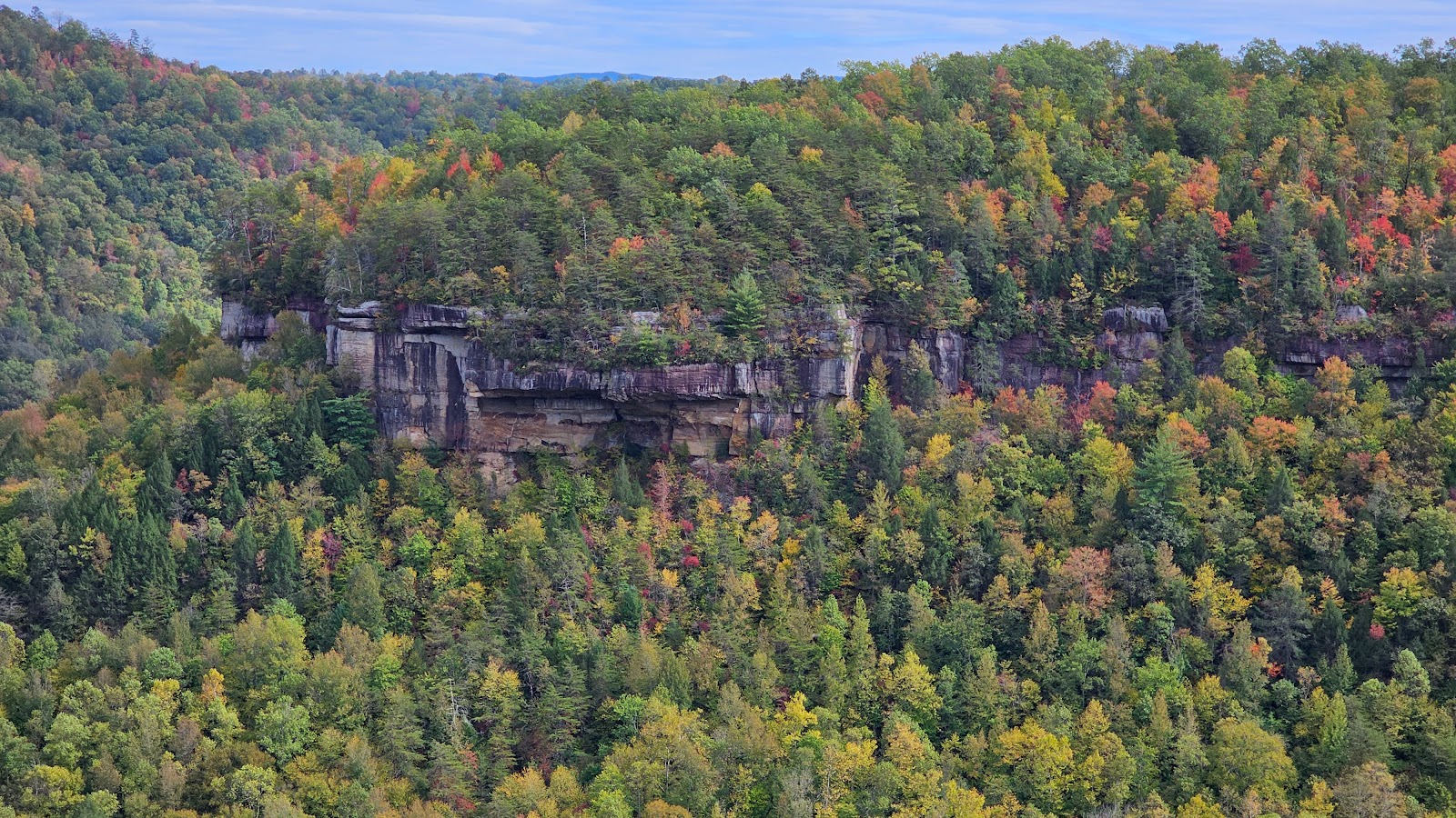
 I believe the fall colors are finally catching up to us here in Kentucky.
|
||||||||
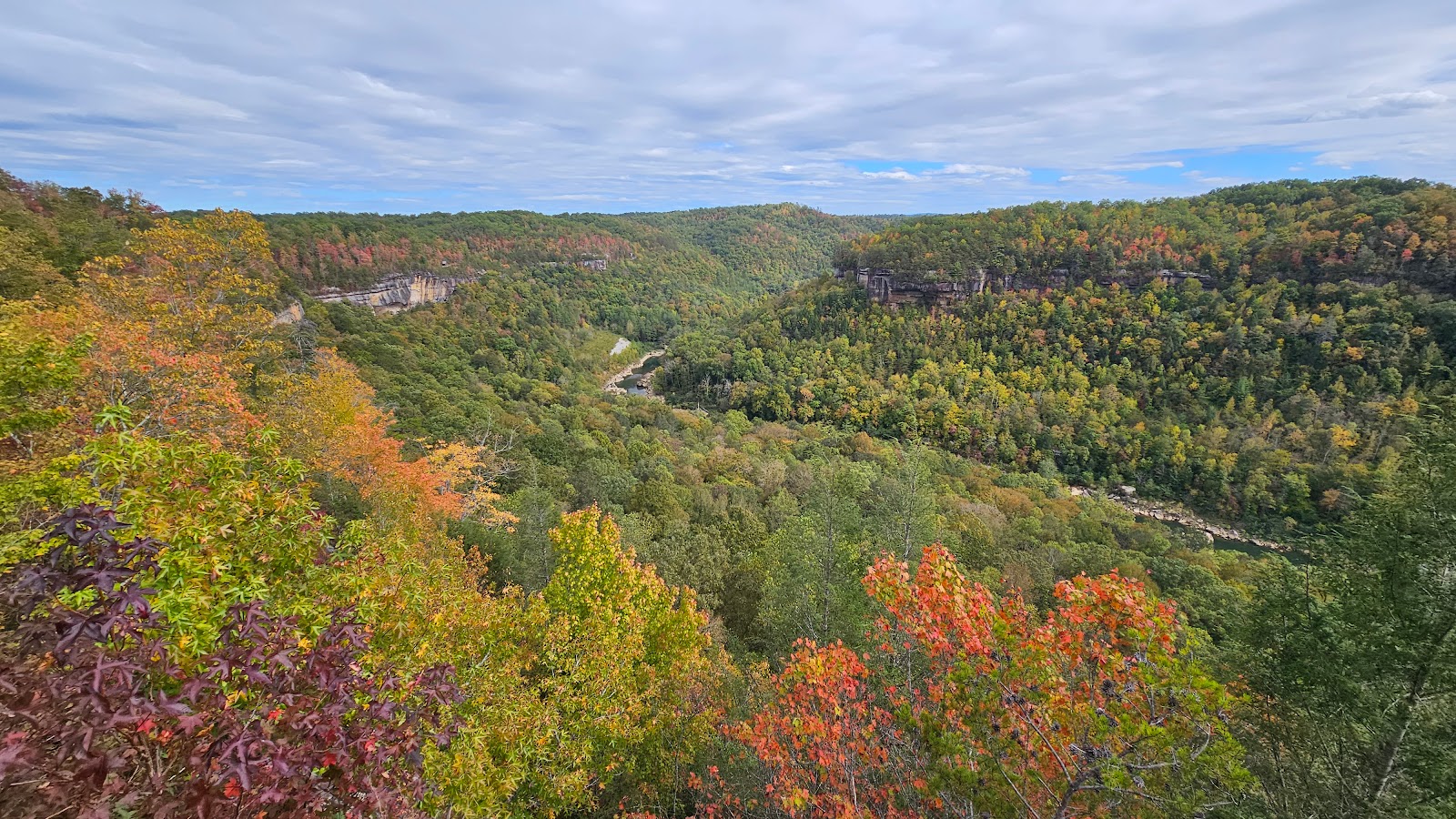
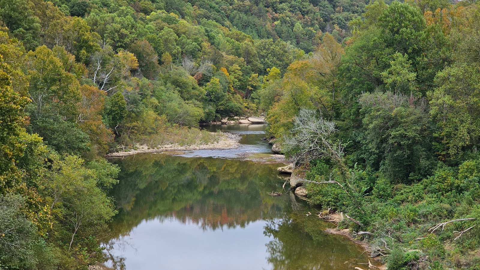
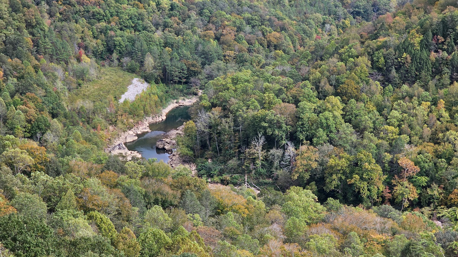 That's a small part of the 688-mile long the Cumberland River down there.
|
||||||||
 YES, there is definitely some fall colors surrounding us.
|
||||||||

|
||||||||
 Now back to the parking lot to go see something else.
|
|

Far down below the overlook is our next destination, the previous site of the Stearns Coal and Lumber Company (1937-1962). Today it's the site of the Blue Heron Interpretive Center and Outdoor Museum.
There are plenty of storyboards where you can read all about the history of this location. What I found most facinating were the operations of the coal mine. Although you can no longer access the interior of the mine, there is still plenty to see and experience outide of the mine.
BLUE HERON MINING COMMUNITY
|
||||||||
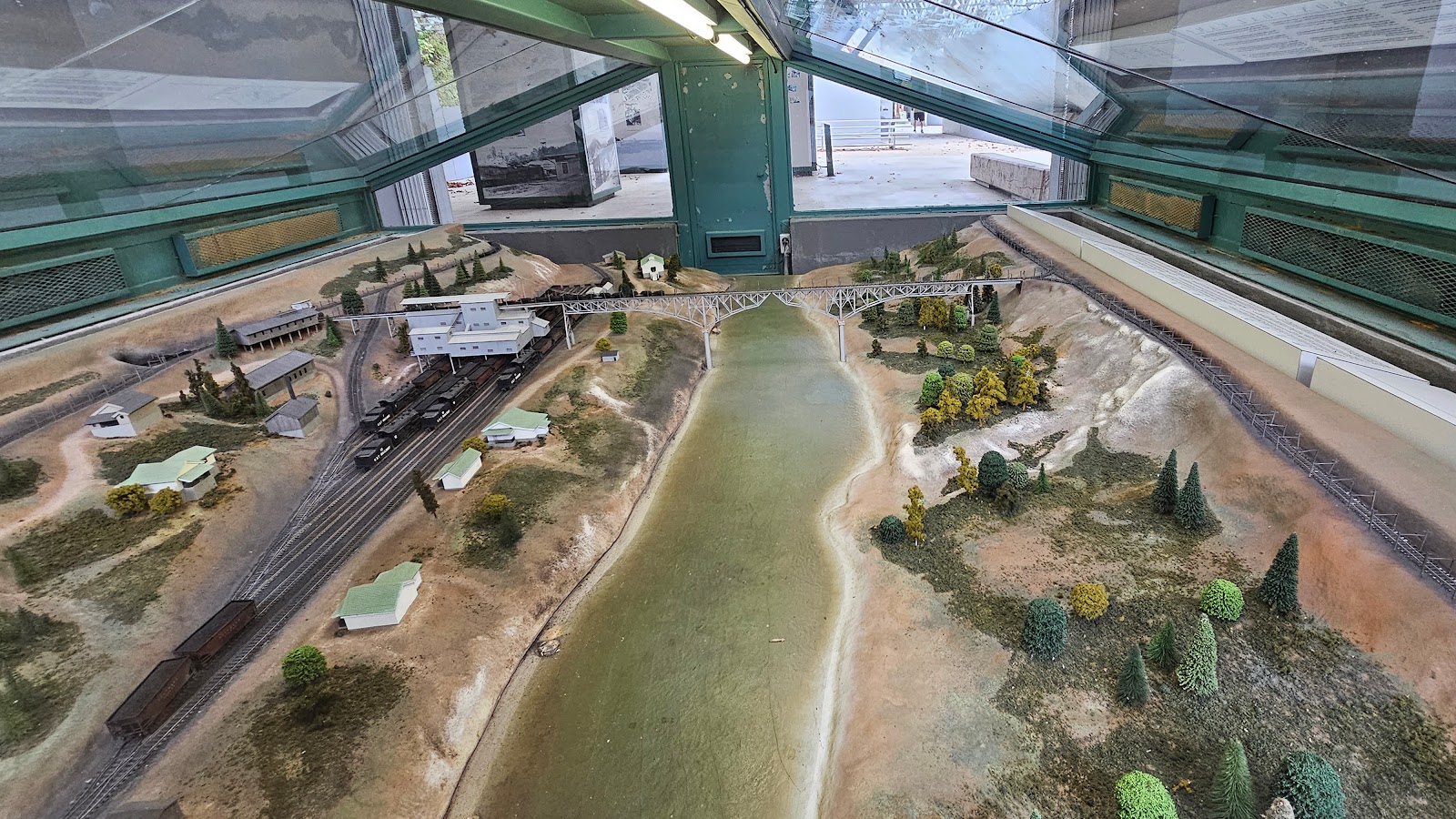 There is a model under glass of what the operation looked like back in it's heyday.
|
||||||||
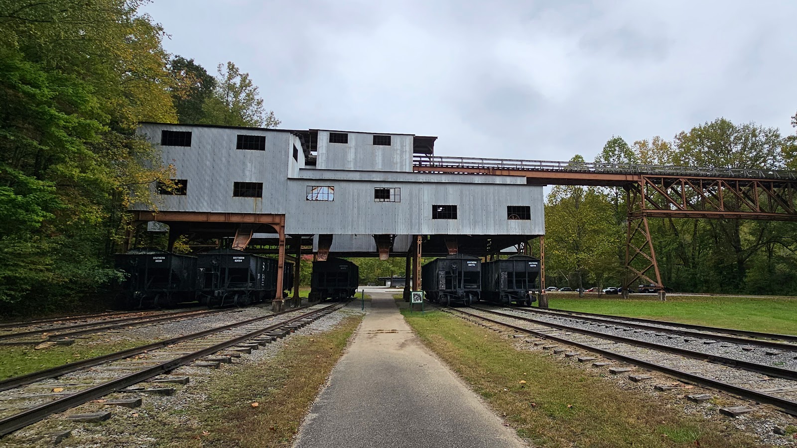 Today it looks like this, with short train tracks that go nowhere.
|
||||||||
 There is still enough left here that you can get a feel for how things operated.
|
||||||||
|
||||||||
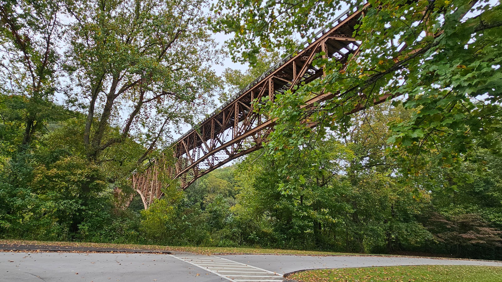
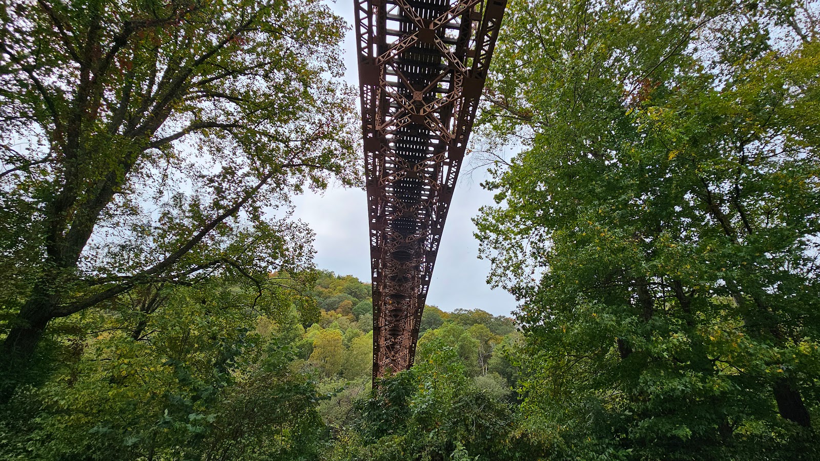 We had to drive under the long tressle bridge you saw back in the model picture.
|
||||||||
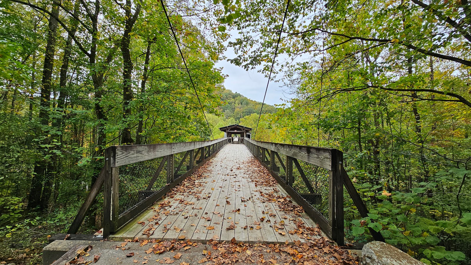
 Today it's open to hikers and bicyclists, so let's go!
|
||||||||
 This bridge was used to haul coal from the mine to the other side
of the Cumberland River for transport to other regions.
|
||||||||
 Looks sturdy enough, but notice the no horseback riding sign!
|
||||||||
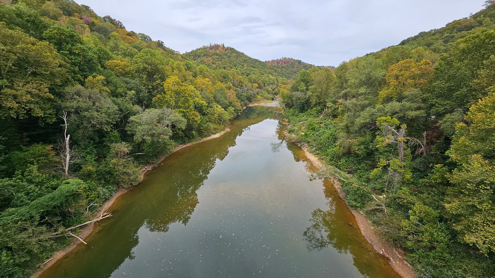 The view of the Cumberland River from the bridge looking downstream of the mine.
|
||||||||
 With the current water levels of the river there are even some small rapids downstream.
|
||||||||
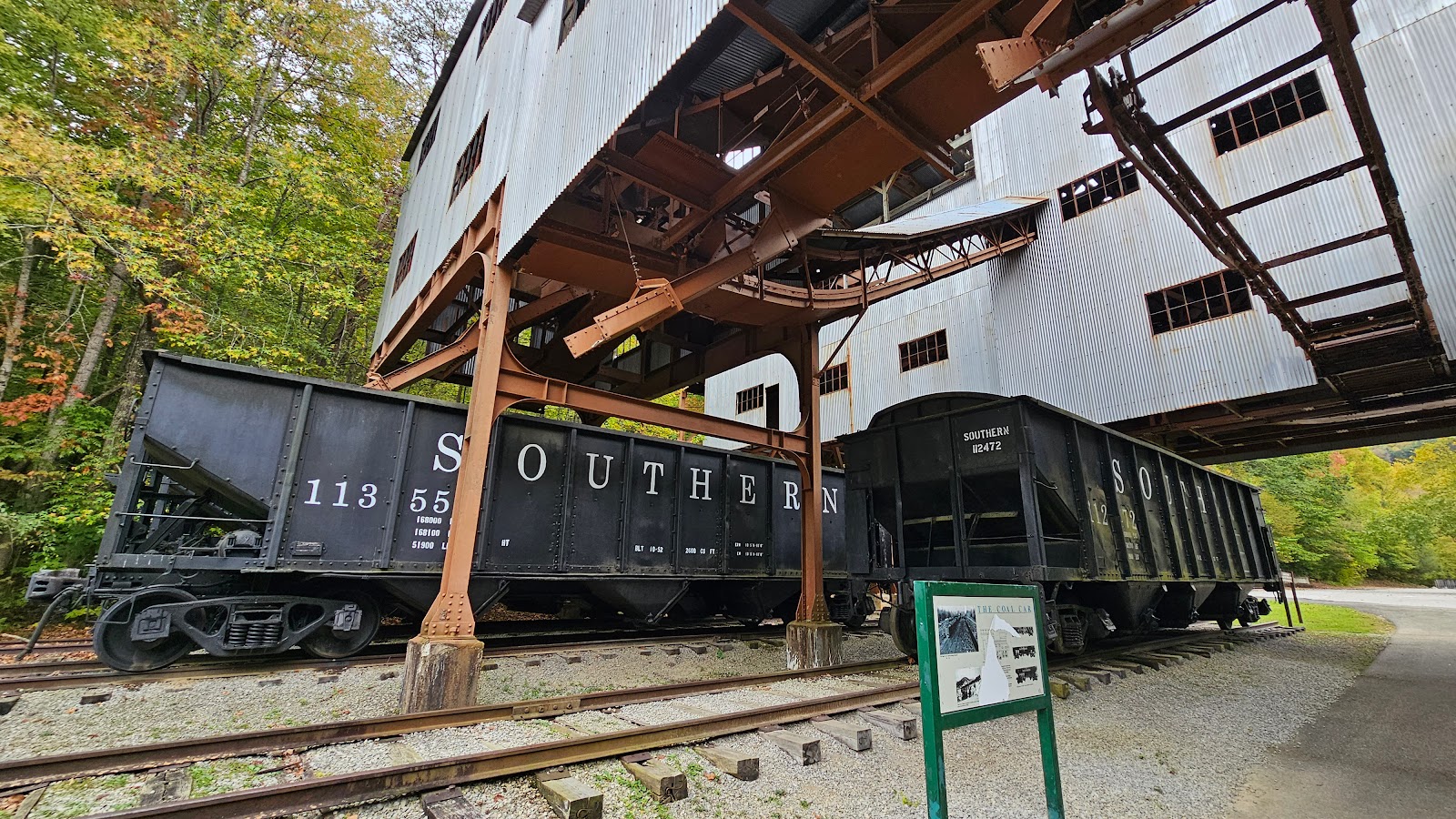
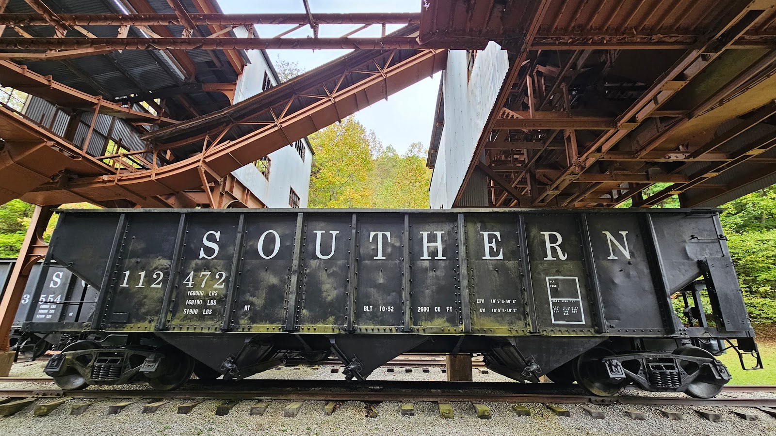
 This is one of the "tipple cars" used to haul coal across the bridge.
|
||||||||
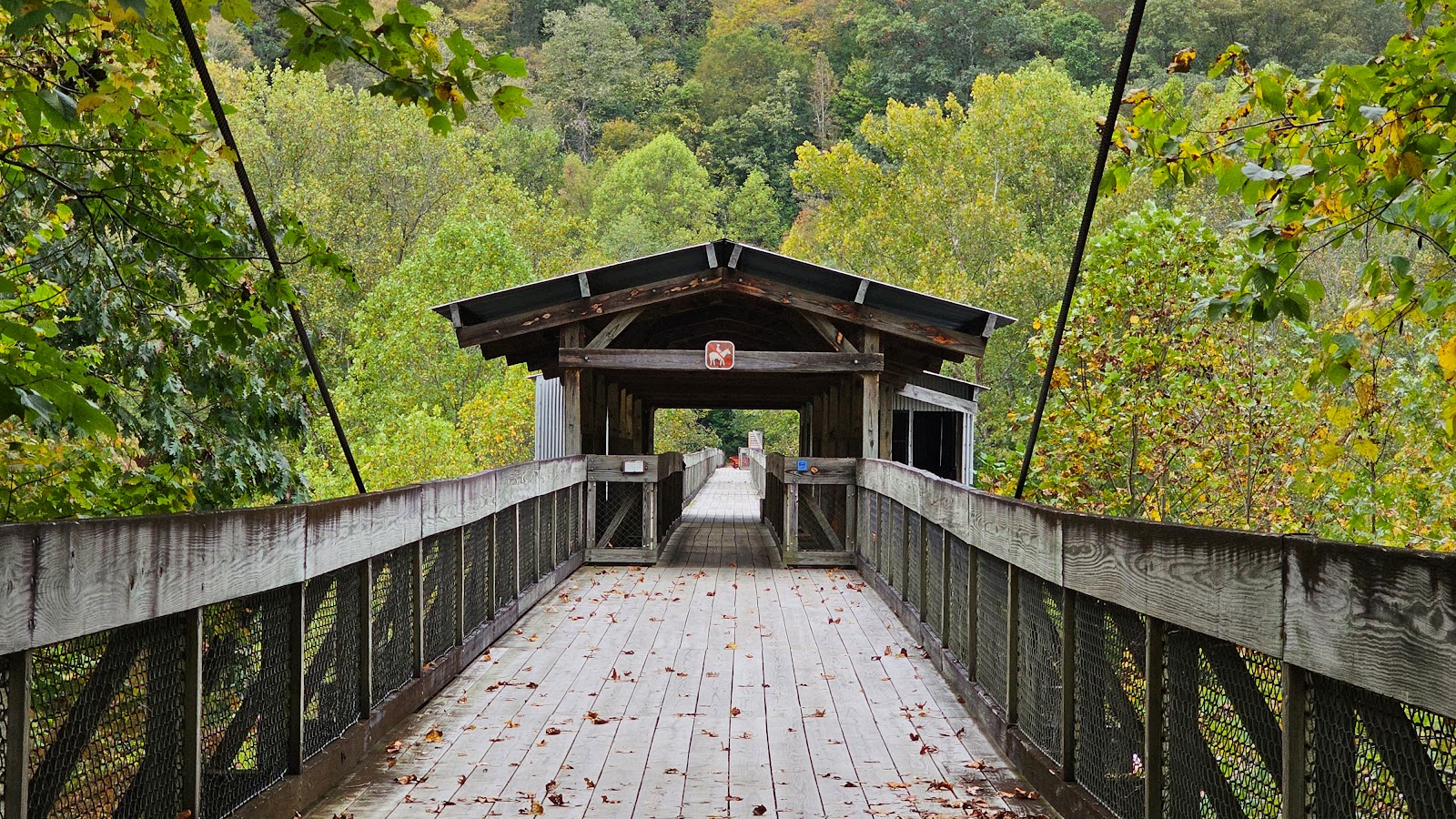
 Well time to head back across the bridge.
|
|


I hope you got to see it and if you did please share any photos you may have taken in the Facebook Comments.
I sure hope we have better luck viewing the Total Solar Eclipse next April in Texas!
Would you like to be notified of new blog posts?


