


Well if you're 50' long, like TWO PEAS AND THE POD is, there are only a handful of places that instantly come to mind where you can easily get off the road and "kill a little time". If you guessed Walmart, you'd be right!
Halfway along our route we passed through the sizable town of Barbourville, KY which has a population of just under 3000 people. That size town doesn't warrant a Walmart Supercenter, or the super-sized parking lot that goes with it, but we found enough space where we could park the rig for long enough to grab lunch at the Arby's on the edge of the parking lot.
We are still well stocked from our previous Walmart overnight so we didn't even need to go into the store this time.
It wasn't much later we found ourselves traveling through the larger town of Corbin, KY (pop. 7768) who does have a Walmart Supercenter and also a road familiar to us passing through it, Interstate 75.
Interstate 75 is 1,786-miles long and travels from Sault Ste. Marie, MI at the Canadian border, all the way down to the Hialeah–Miami Lakes border in South Florida, where we're from. As far as north-south Interstates go, it's the second longest, only Interstate 95 is longer at 1,923-miles, which travels from the Houlton–Woodstock Border Crossing between Maine and Canada, all the way down to US-1 in Miami, FL.
Once passing over Interstate 75 we were very close to the Daniel Boone National Forest boundary. Once inside the forest the road became a narrow 2-lane strip of winding curves and absolutely no shoulder to pull over onto in the case of a breakdown.
Fortunately we only had 17-miles with these conditions to travel before we arrived at the campground.
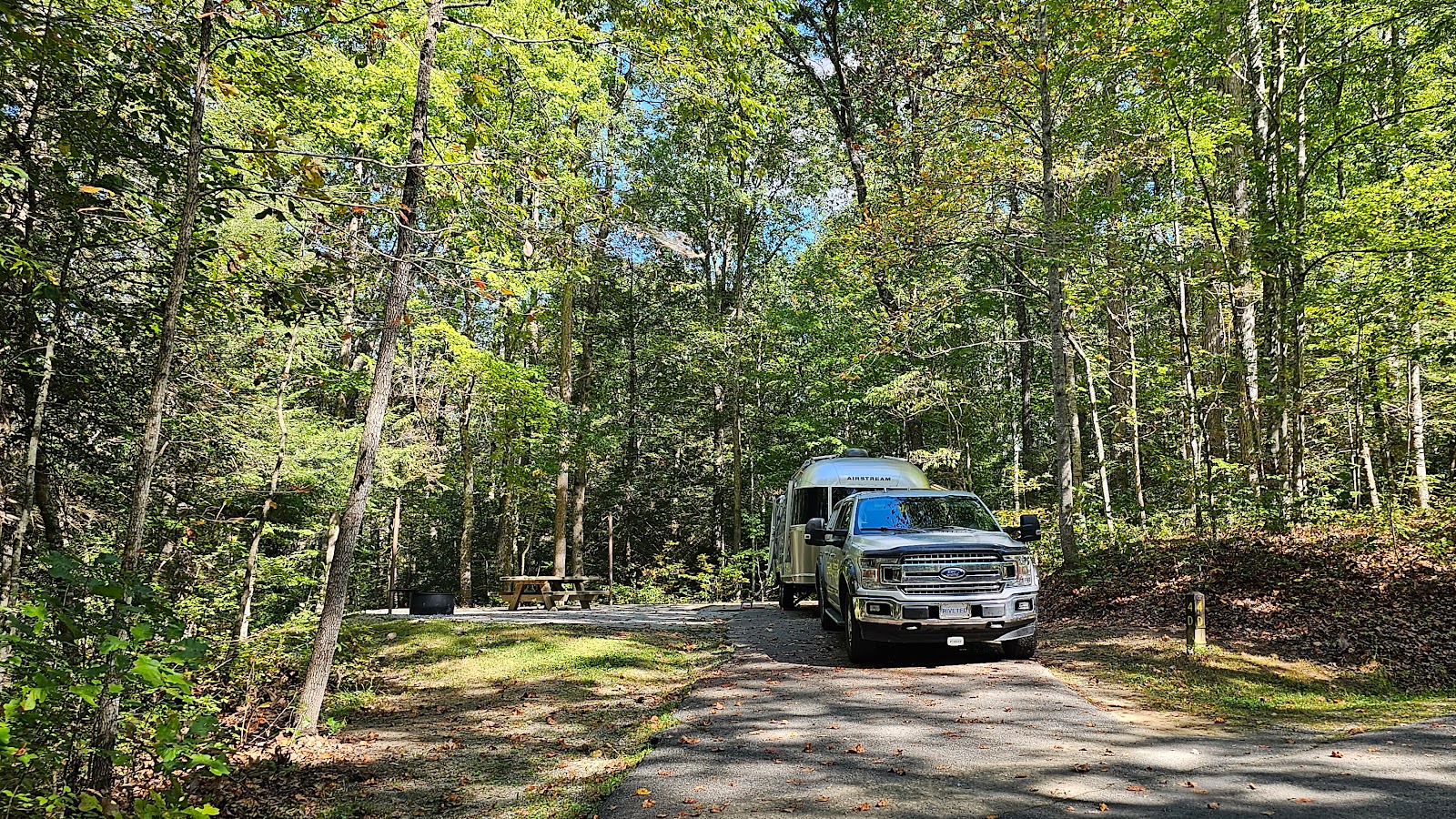
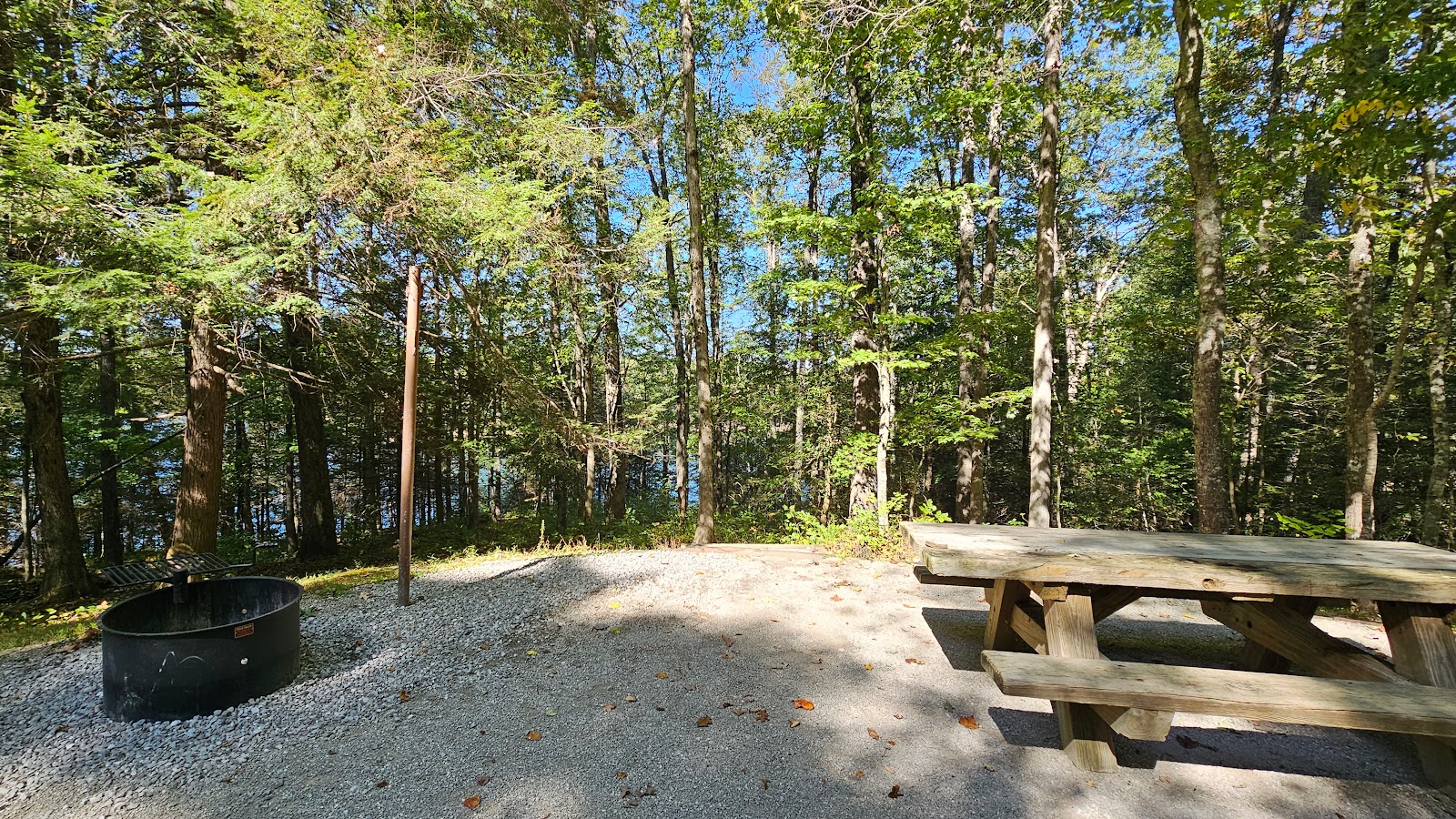
because there's no way Starlink is going to work underneath this kind of tree coverage.

The lake is manmade, created when the Army Corp of Engineers dammed the Laurel River, which flooded the surrounding valleys and created what is now called the Laurel River Lake (clever name huh?).
Just a short distance below the dam the Laurel River joins the much larger 688-mile long Cumberland River, which joins the even larger Ohio River, which empties into the Mississippi River, which travels all the way south to New Orleans and the Gulf of Mexico.


Her phone app identified this as a magnolia leaf, I have no idea if that is correct.
Would you like to be notified of new blog posts?


