MONDAY - We awoke this morning to some loud "mechanical sounds" coming from the vicinity of Hole-in-the-Rock Road, which was about 100-yards away from our campsite on the other side of a hill and some trees.
At first I thought maybe the garbage truck was here, emptying the two dumpsters out on the road. The more I listened though, the more I was sure that wasn't the sound I was hearing, this was something different.
After a little while the sound seemed to fade away until is was gone altogether. Oh well, we need to get up anyway and start packing up because today we are moving again.
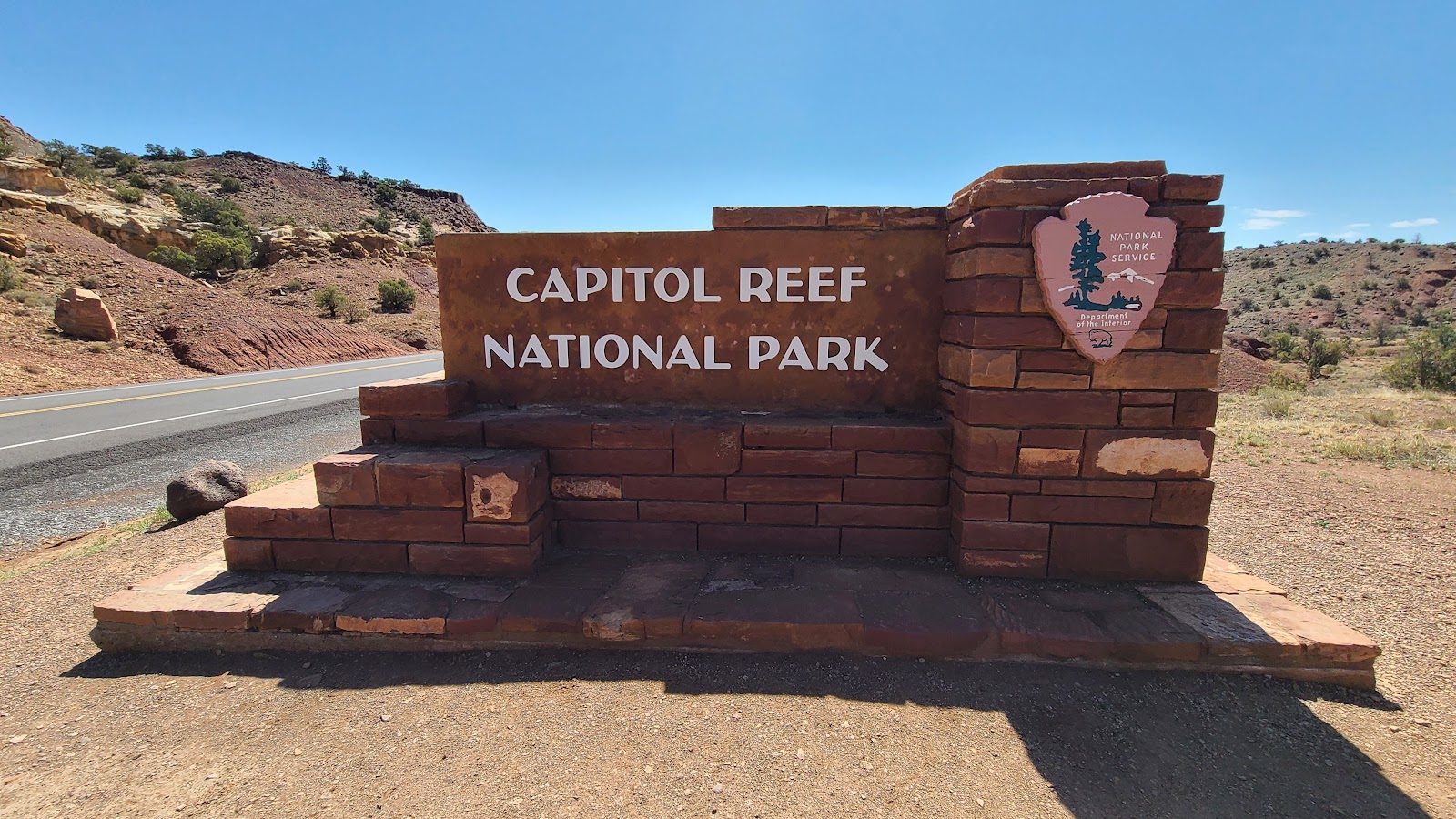
We sure crammed a lot of sightseeing into the four days we were here, and next we're headed to another one of the "Mighty 5" National Parks here in Utah. This time it's Capitol Reef National Park we'll be exploring.
We were rolling off of our campsite at 9:00AM and just as we got to the Hole-in-the-Rock Road I realized what that awful sound was this morning.
It was a road grader, because one side of the Hole-in-the-Rock Road outside of the campground entrance was perfectly smooth for as far as I could see in both directions.
Wouldn't you know it! Now that we're leaving they're fixing the nasty bumpy road that we suffered driving down when we first arrived here four days ago. Just our luck!
Today's route will have us finishing up the second half of Utah's Scenic Byway 12.
It's northern end is 65-miles north of Escalante, UT at the town of Torrey, UT, which is just a few miles from the Capitol Reef National Park boundaries.
FINISHING UP UTAH'S SCENIC BYWAY 12
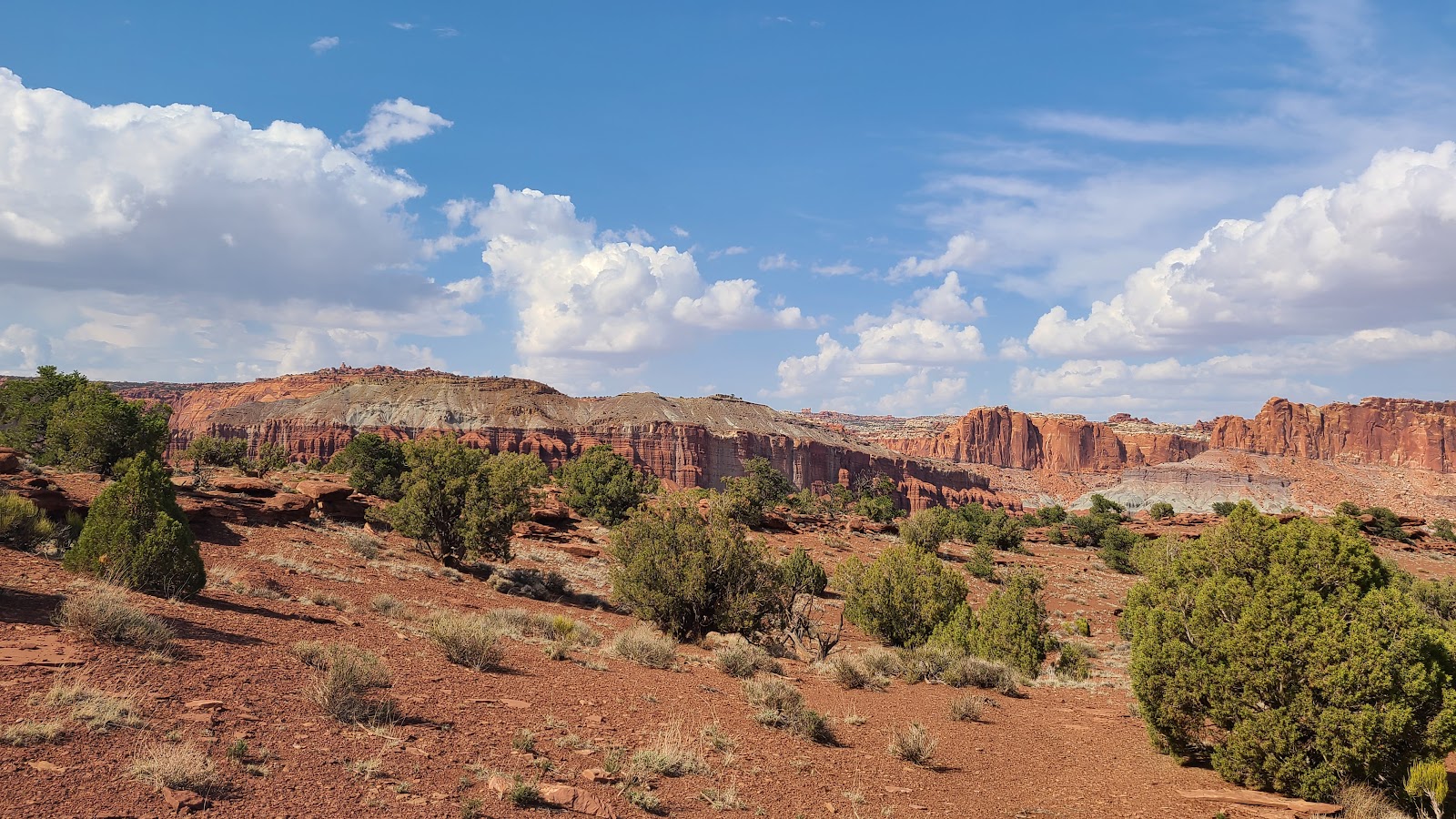
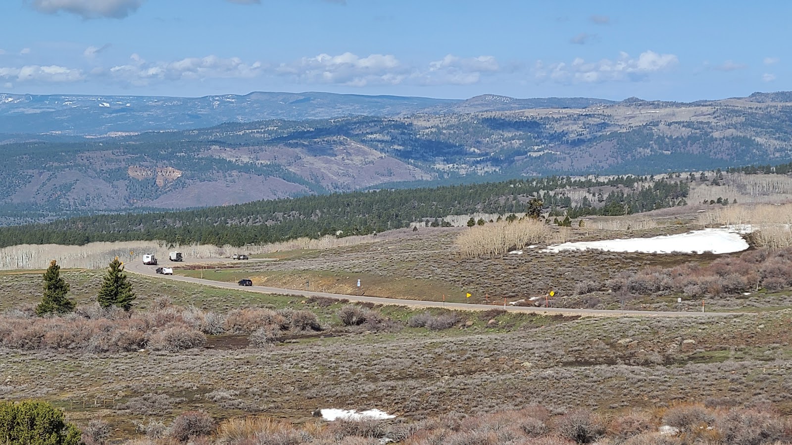
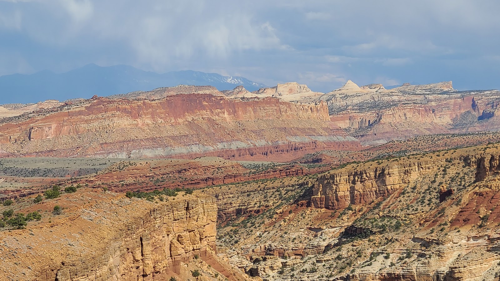
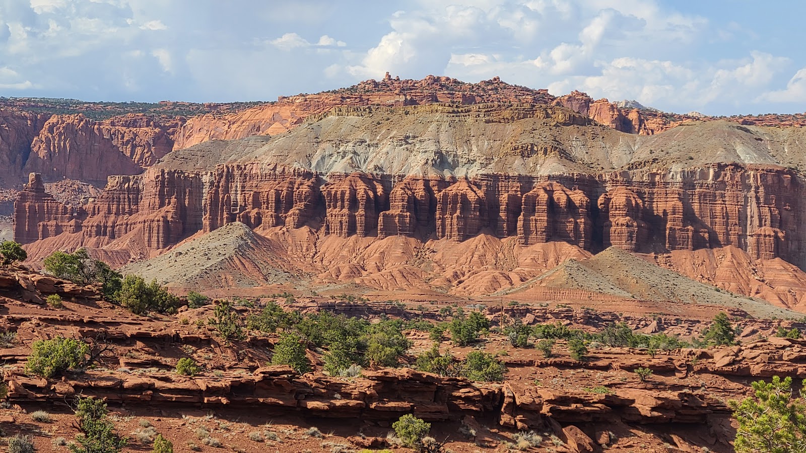
 The northern half of UT-12 has some pretty long view sites from the roadway.
 YES, that's snow still on the ground out there.
 We suspected we had gained some serious elevation,
because the pine trees had disappeared and the aspens had no leaves.
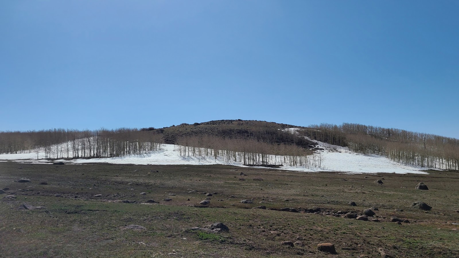 Add in the fact there was more and more snow around to confirm my suspicions.
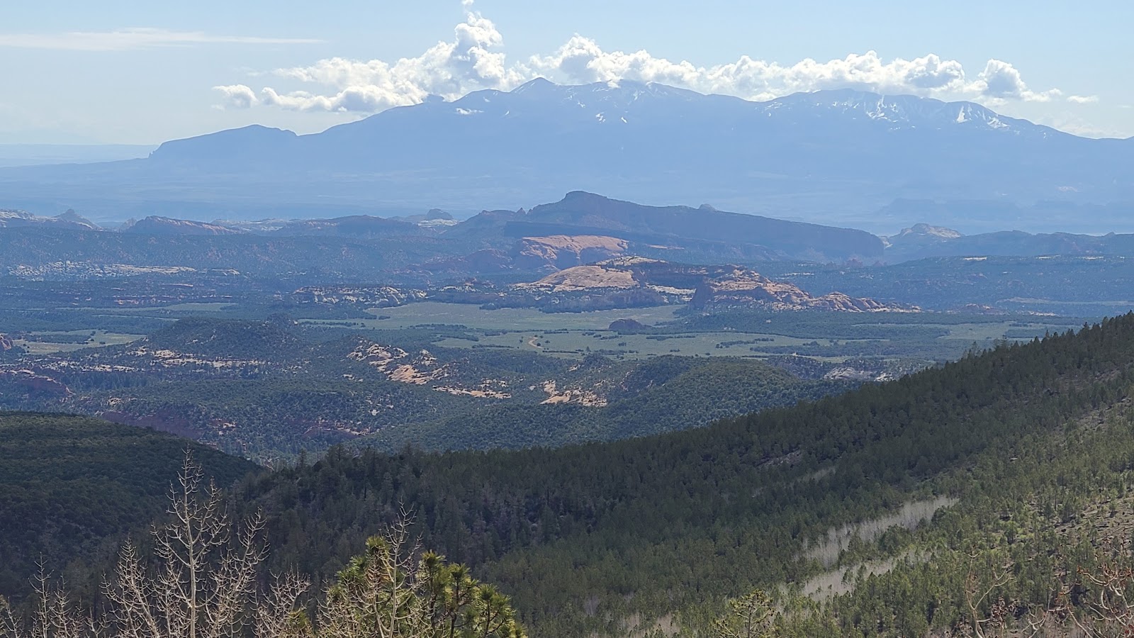
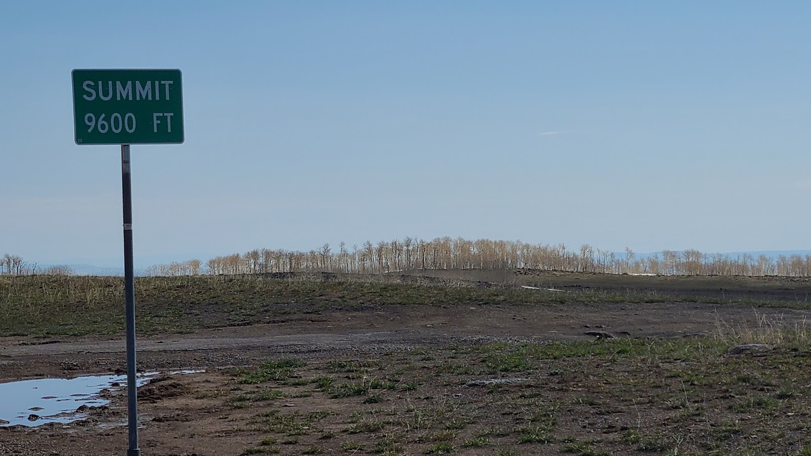 Around the next curve was our confirmation, we're at 9600' up here.
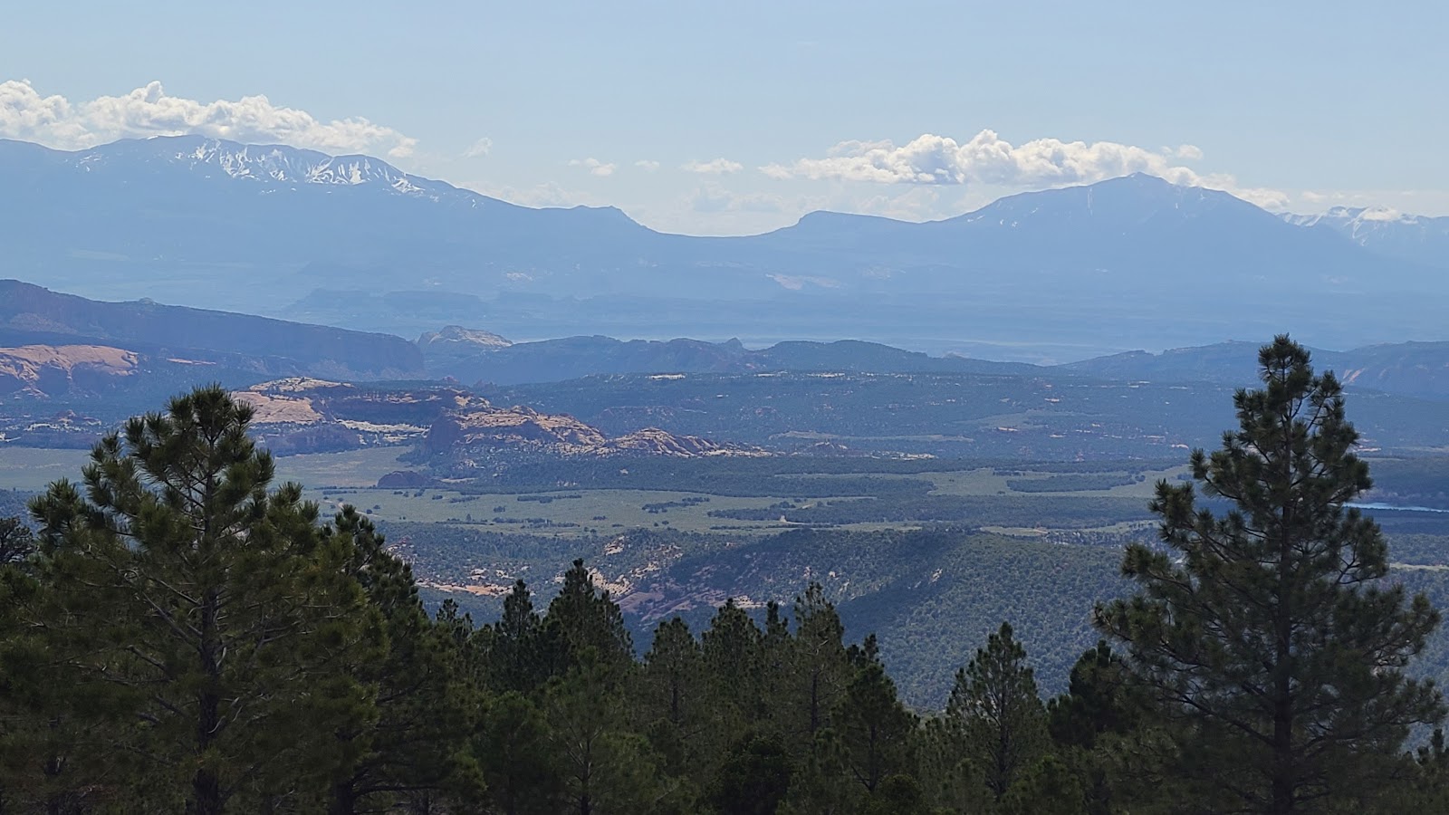
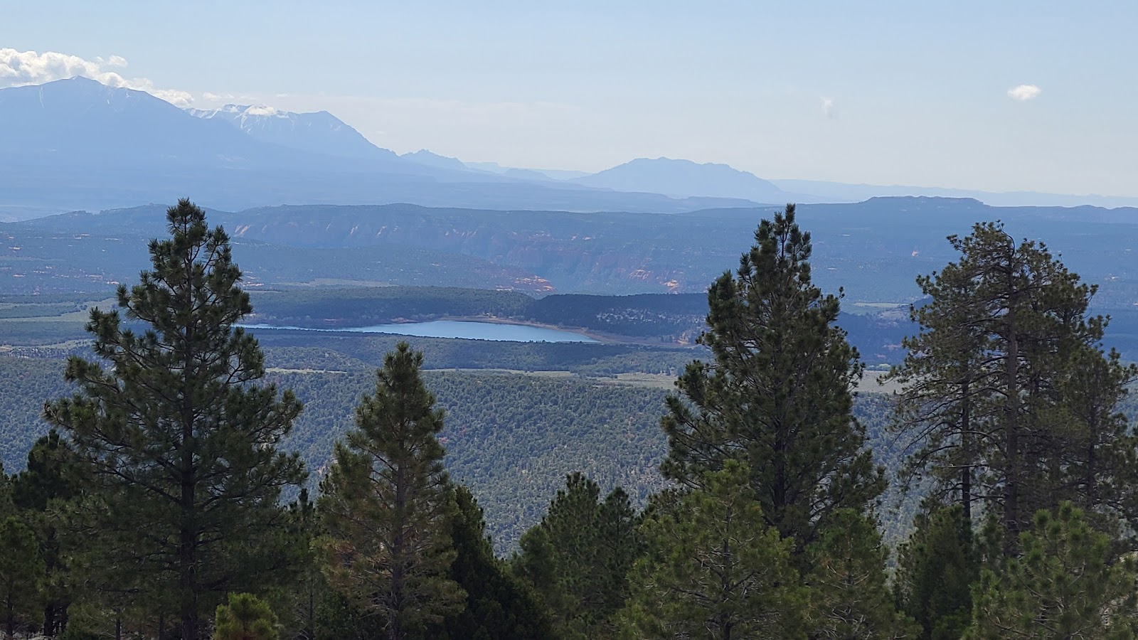
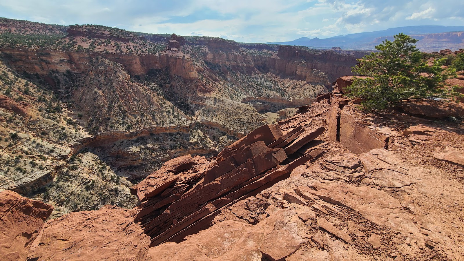
 Which just makes the views down below even more spectacular.
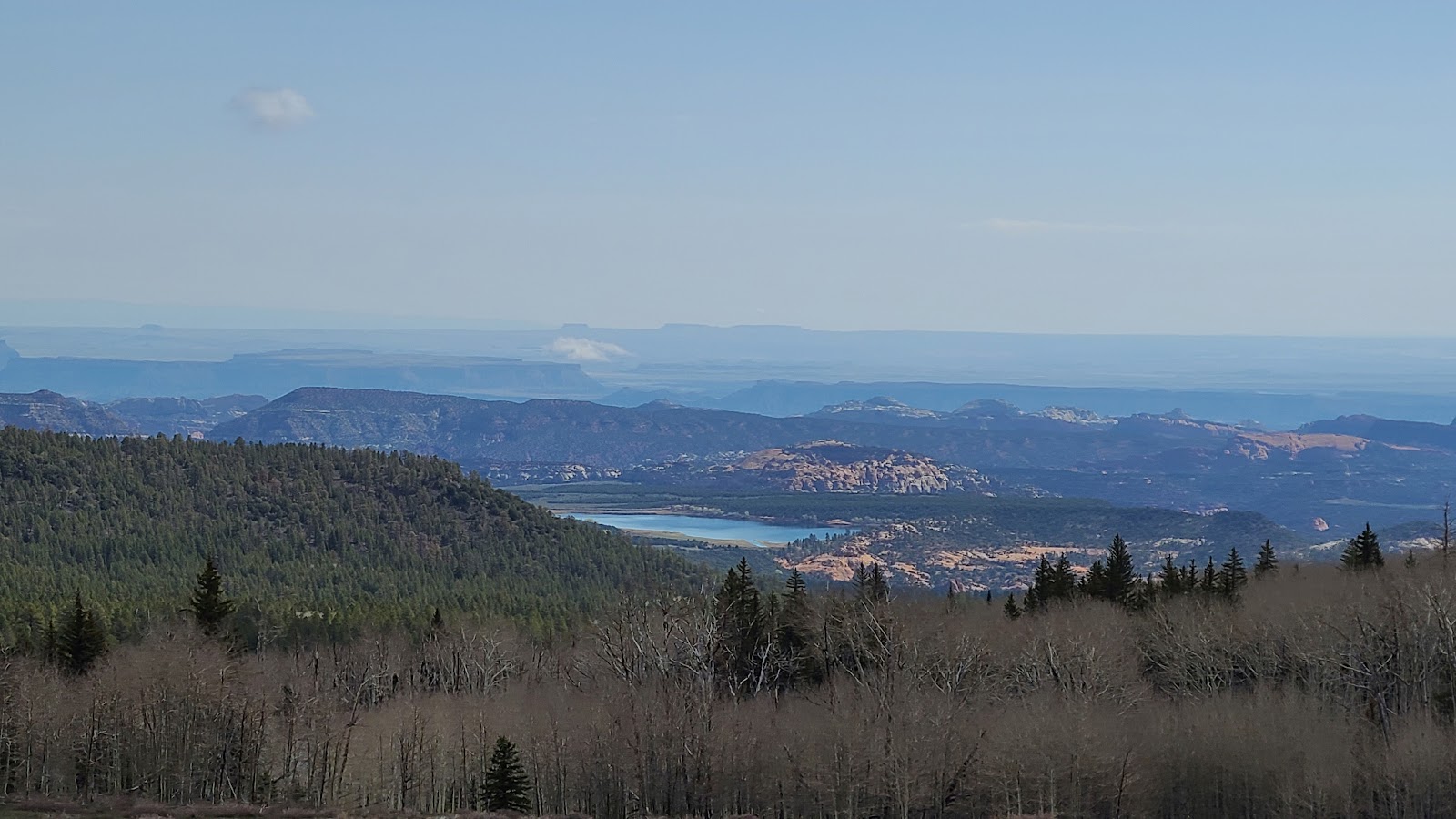
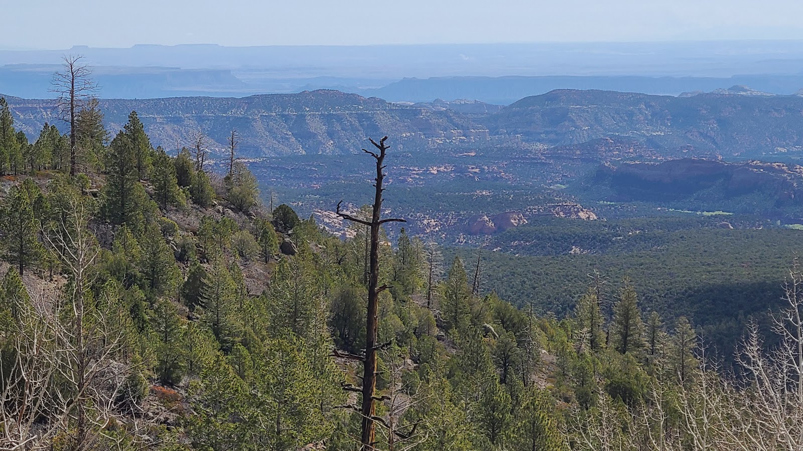 This and the following photos were all taken from the Larb Hollow Overlook (elev. 8700).
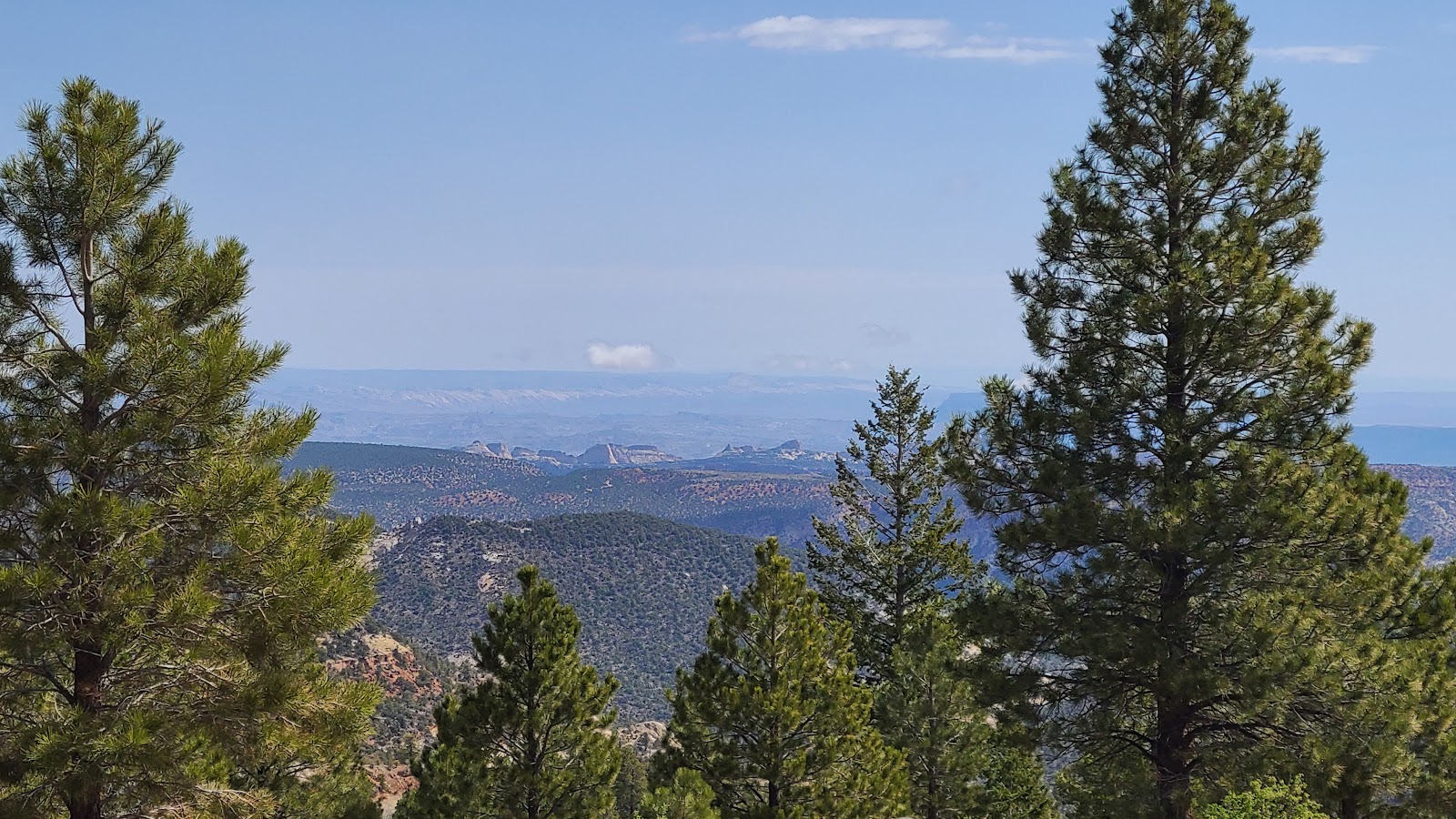
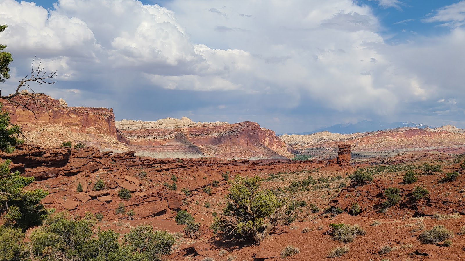
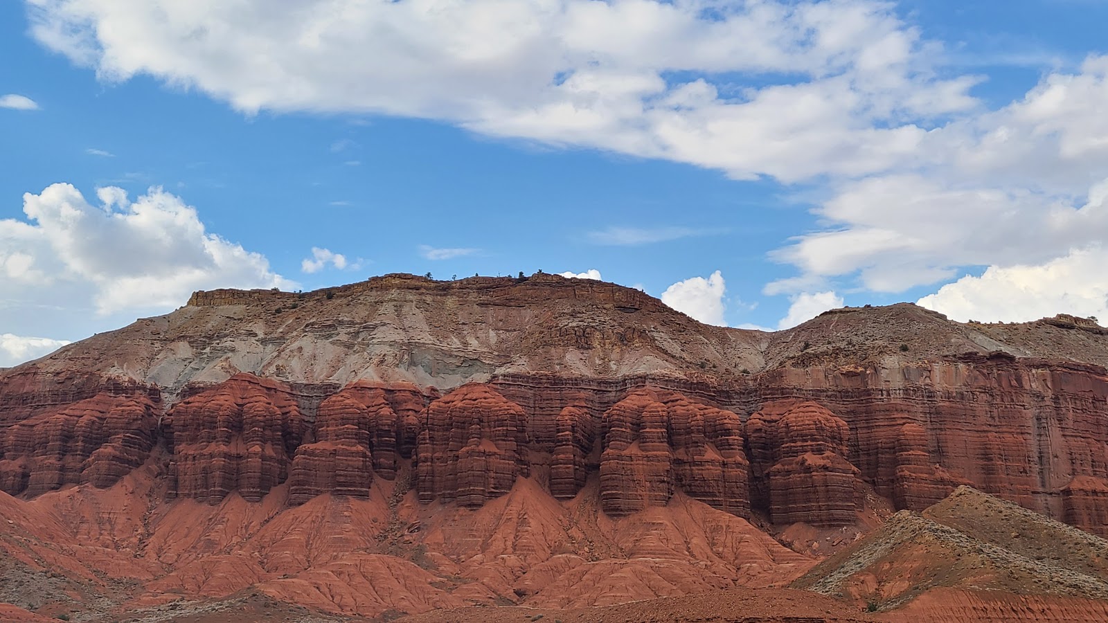
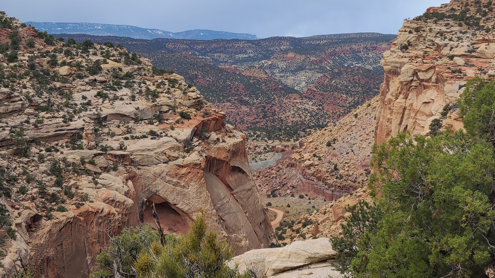
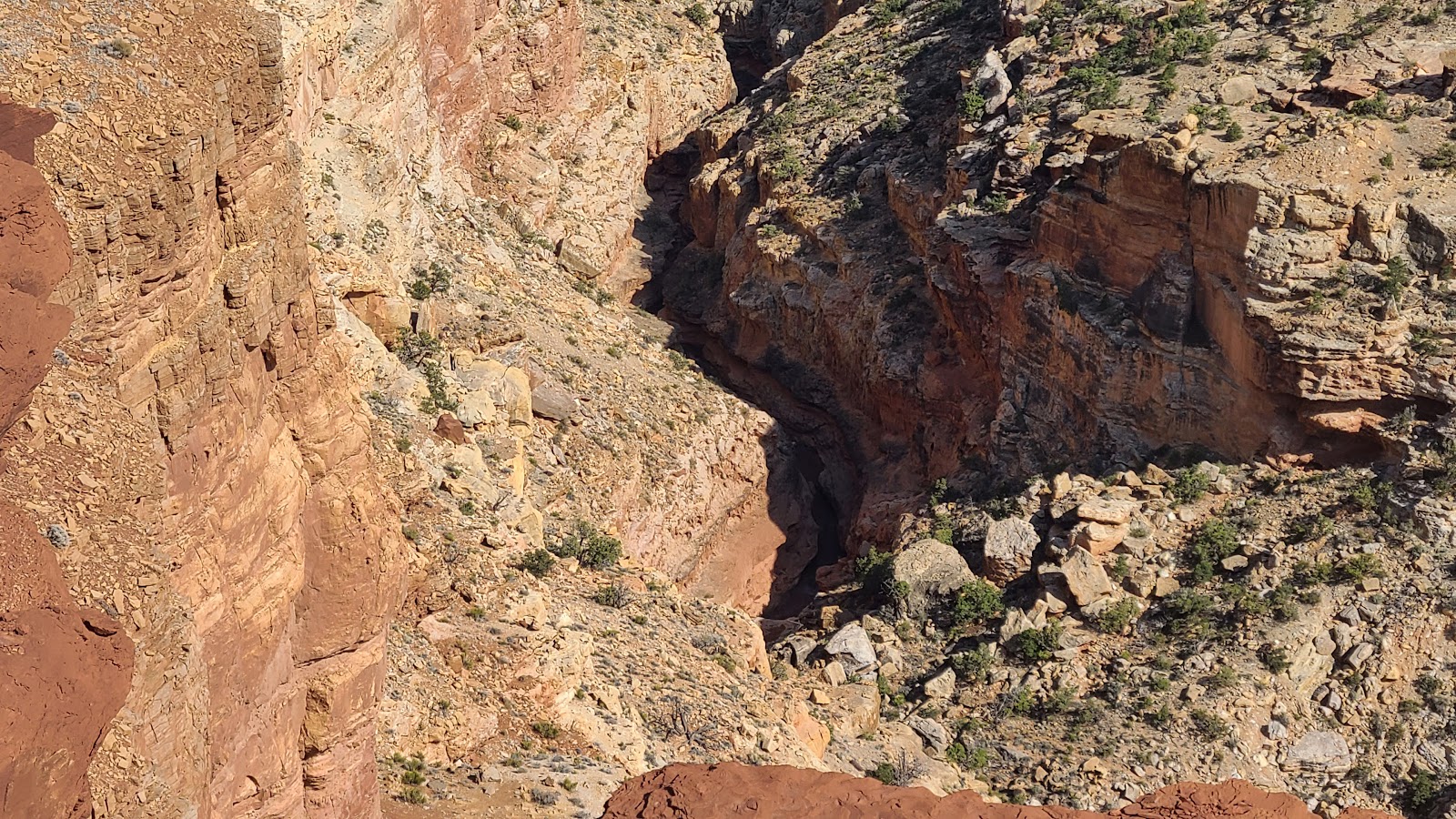
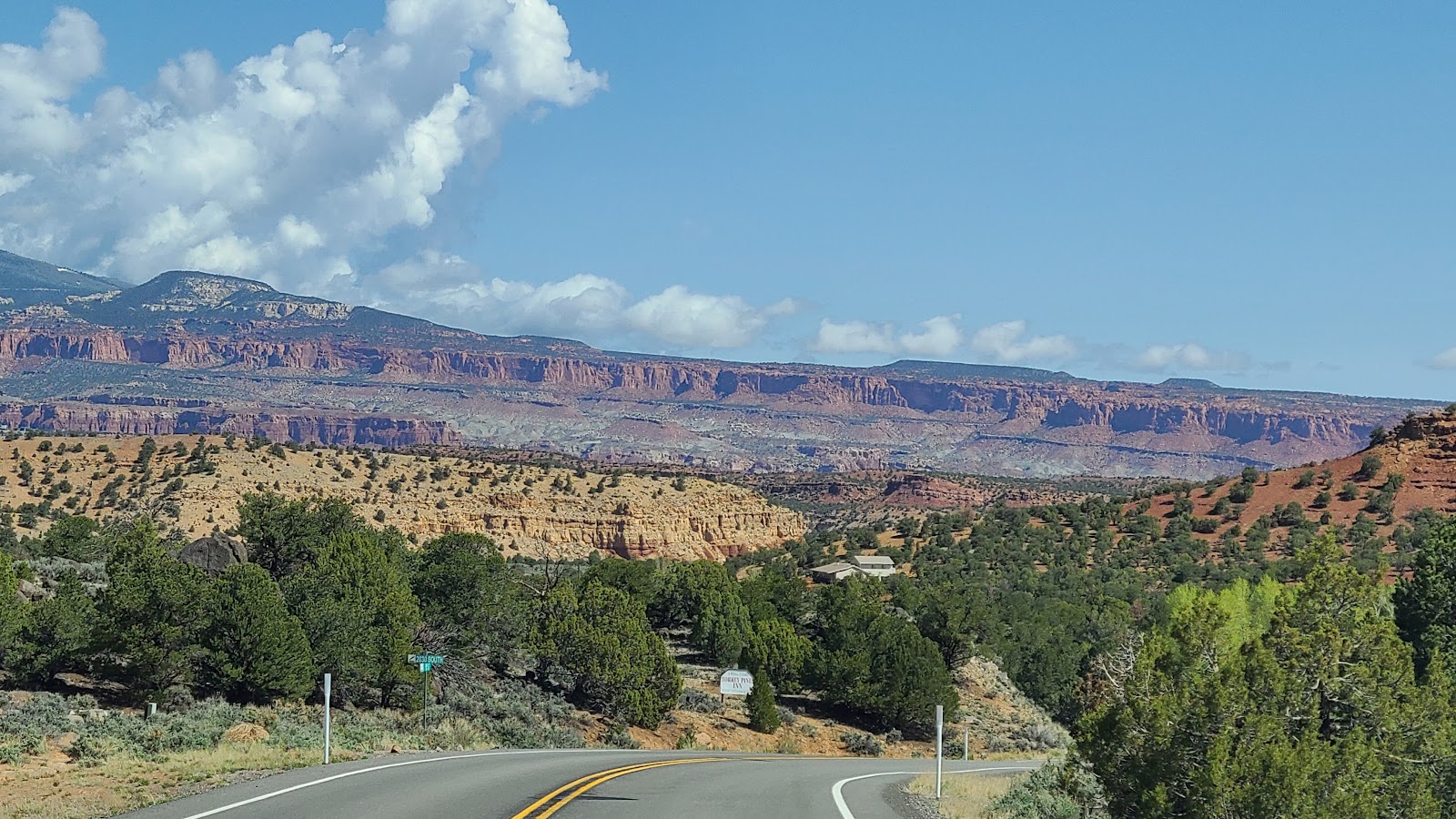 A little further down UT-12 the forest setting changed to beautiful rocky cliffs...
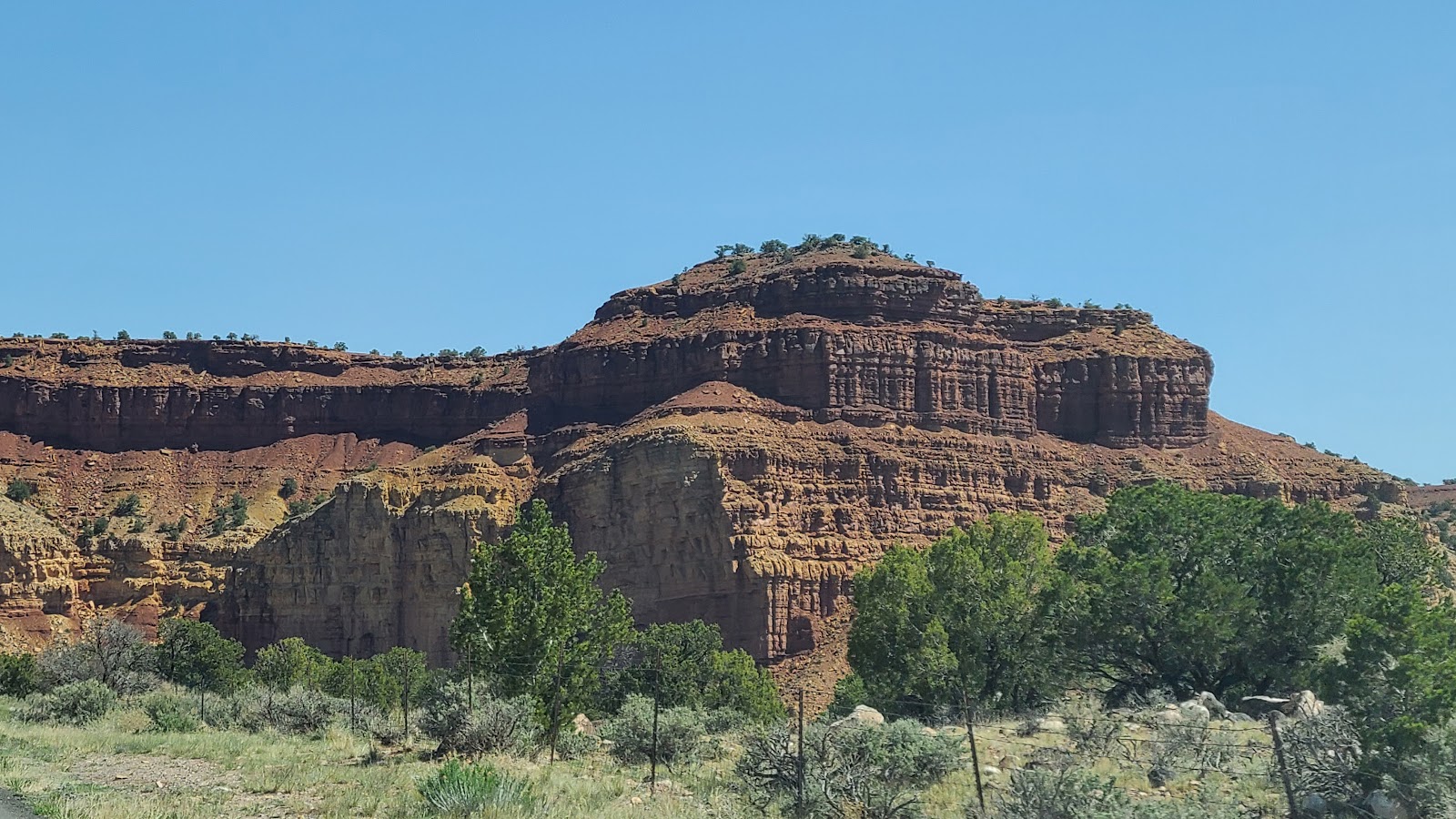 ...that's what we are used to seeing here in southern Utah.
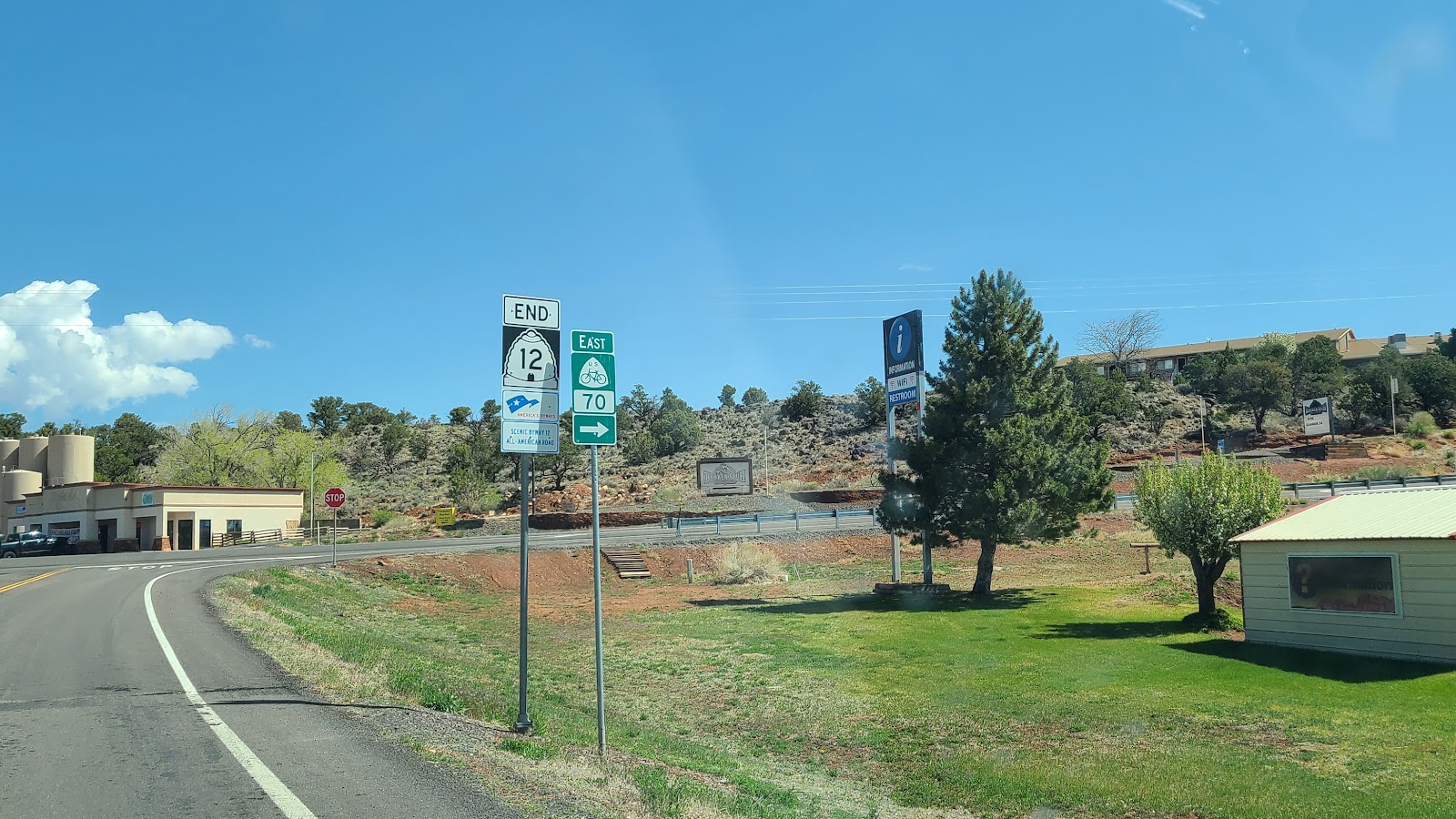 Then UT-12 came to a very unceremonious end.
Both entrances of Scenic Byway 12 had impressive rock signs welcoming you onto the drive.
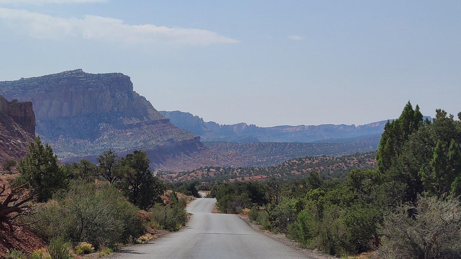
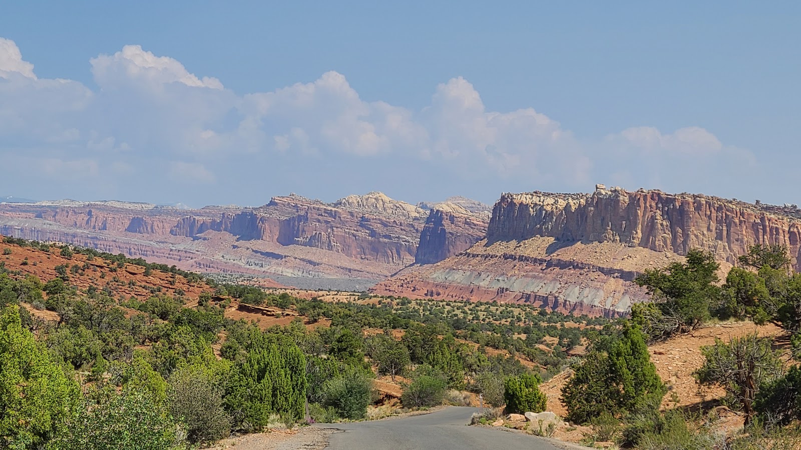
 We turned east onto UT-24 a just 4-miles later we passed into Capitol Reef National Park.
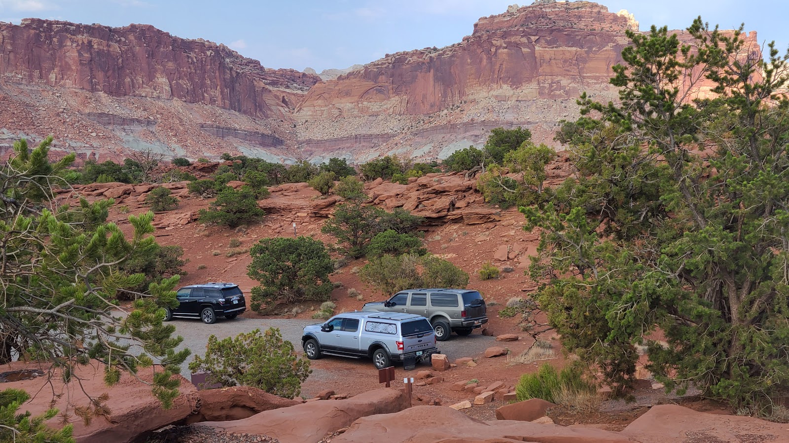
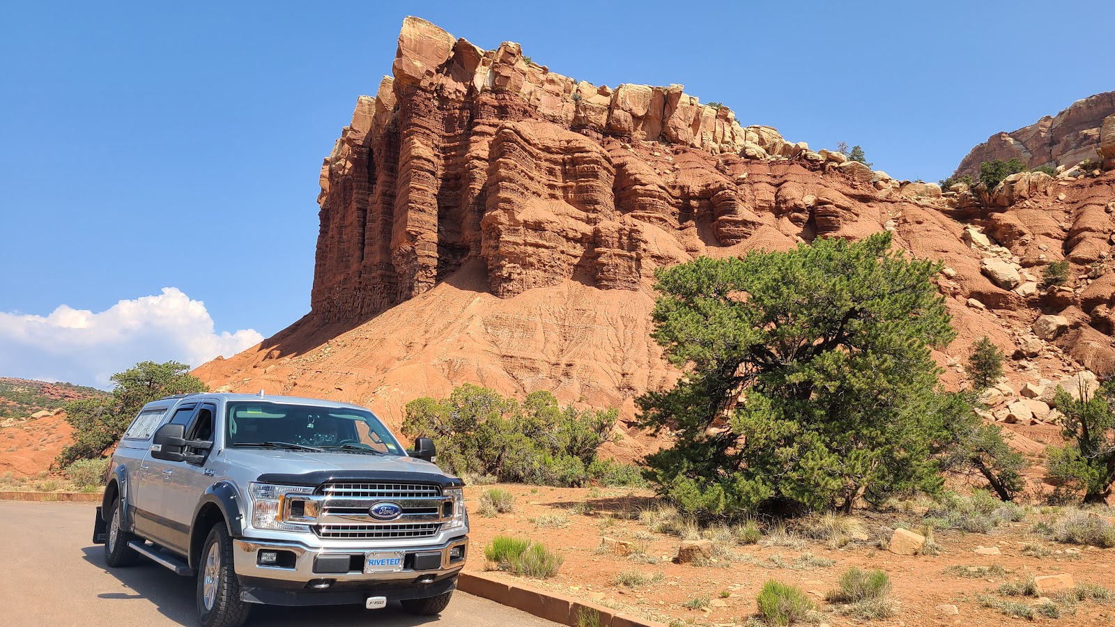
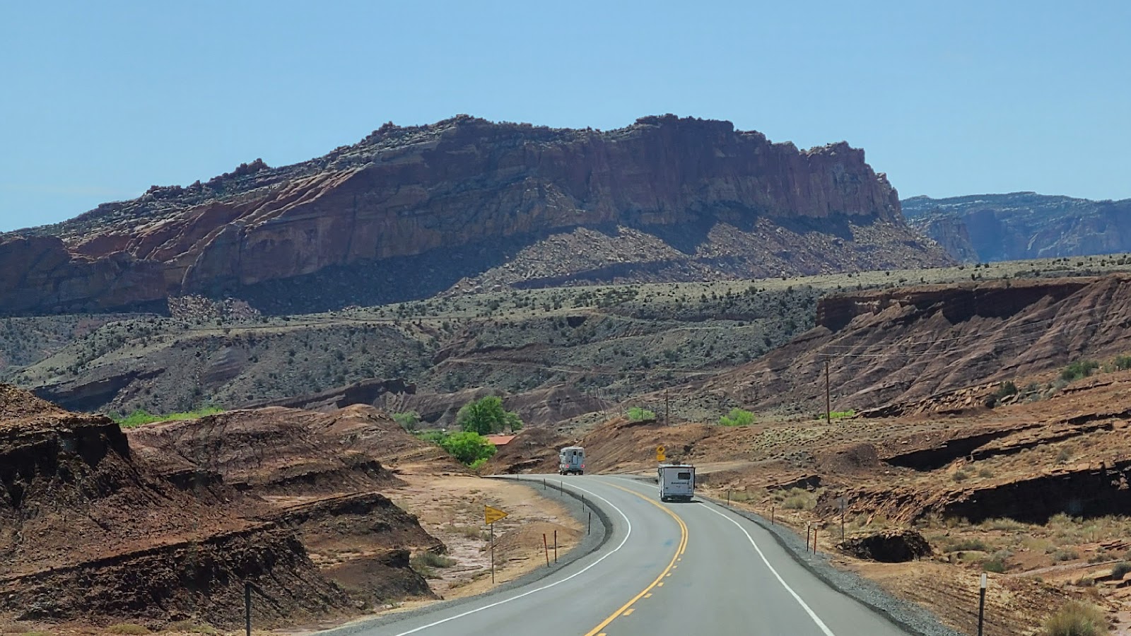 We were following these two RVs and they both turned into the park entrance.
Guess we won't have the campround all to ourselves tonight. Like that would ever happen!
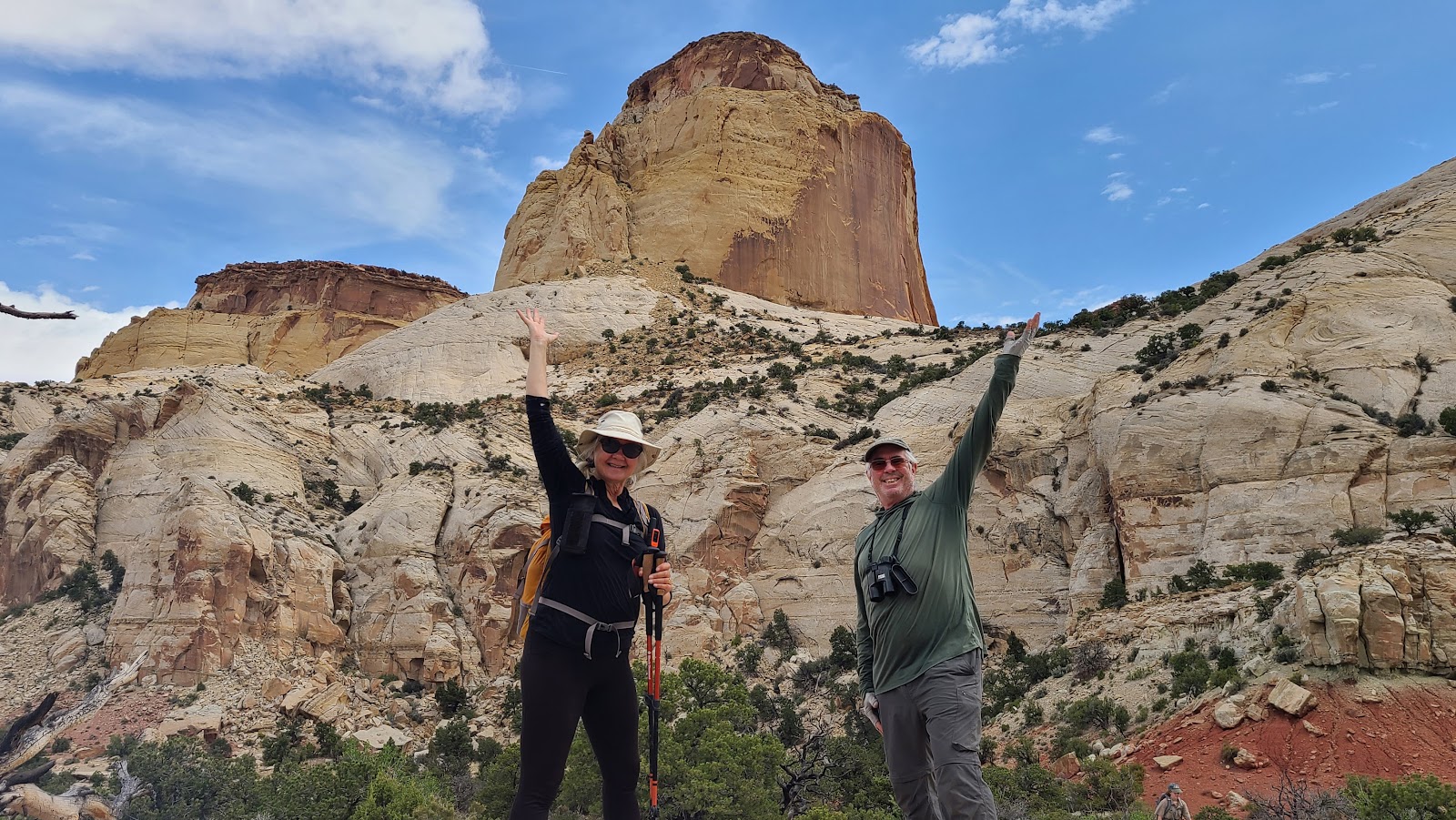
After turning off of the highway and entering the park we saw our friends Rod and Sharon sitting at a picnic table eating lunch. We knew we were going to be seeing them here, but didn't expect them to be waving to us as we drove in.
We are both always happy to see them and spend time together, especially Tricia because they invite her to go on more strenuous hikes that I'm a little reluctant to try.
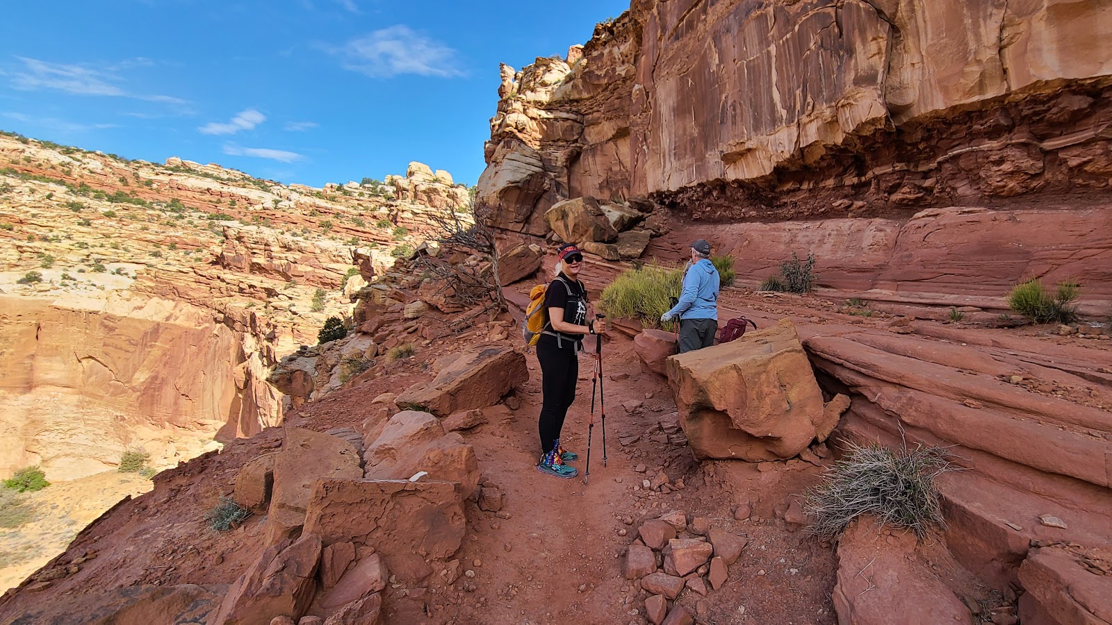
TUESDAY - This morning at 9:00AM Rod and Sharon stopped by to pickup Tricia to go on the Golden Throne Trail, a 4-mile round trip hike with 730' of elevation gain.
I'm here in THE POD crafting up this blog post. There is zero cell service here in the Fruita Campground, so once again our Starlink satellite dish has come to the rescue. I sure wish this would have been available 5 years ago when Tricia was still working and in need of a solid internet connection.
We wouldn't have spent so much time driving into town in search of the library where she could find an internet connection to get her work done.
So without further ado, here are some colorful photos from Tricia's hike today.
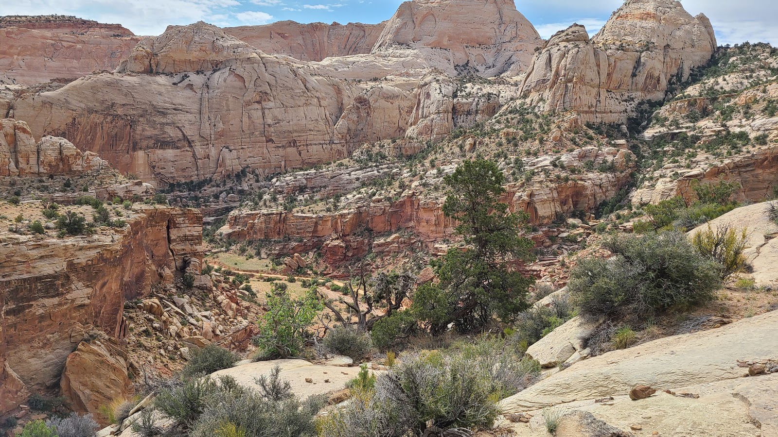
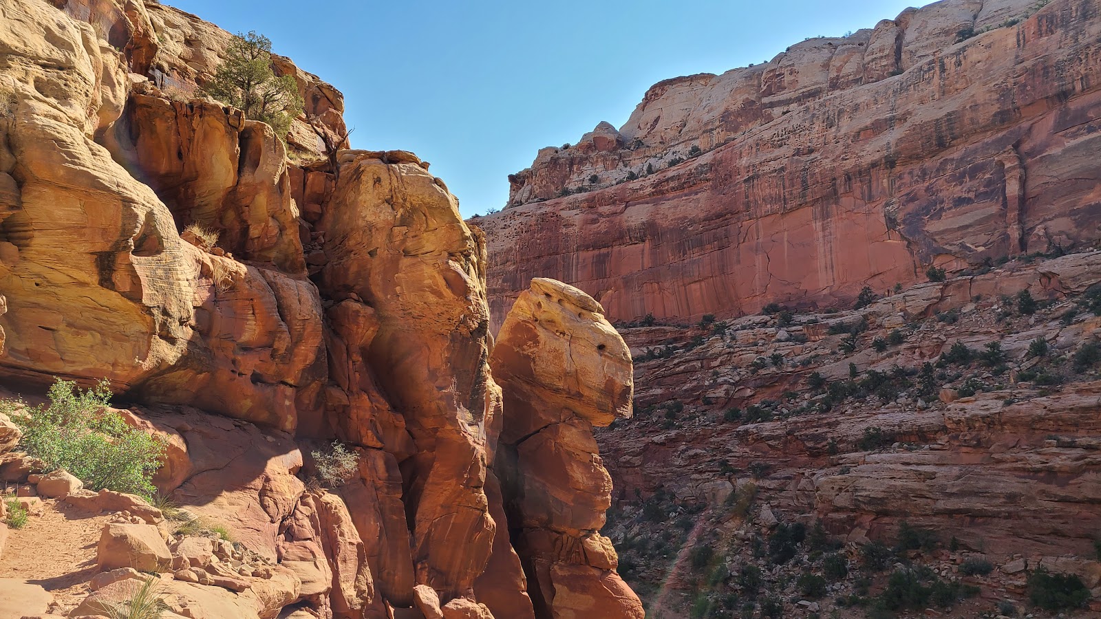
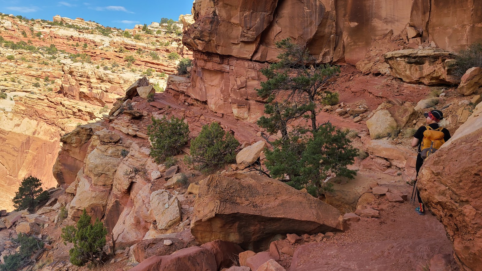
GOLDEN THRONE TRAIL
 I like these signs, they let you know exactly what to expect to complete the trail.
 Just a few minutes later they were already 100+' above the trailhead below.
 This trail had it all, going over, around and through the rocks.
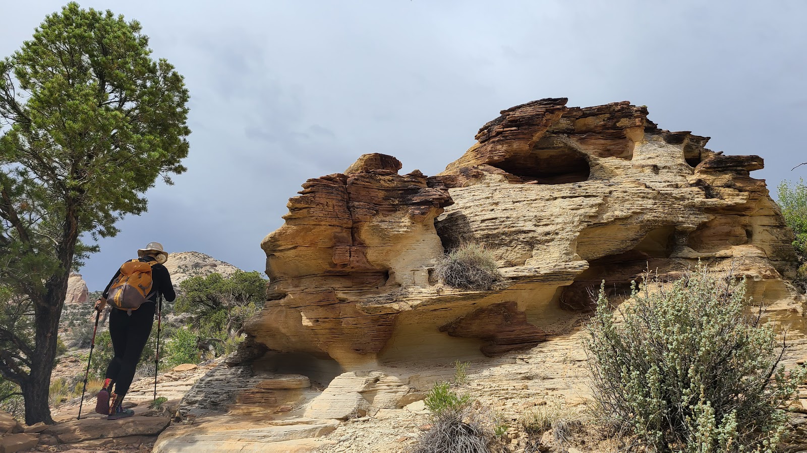
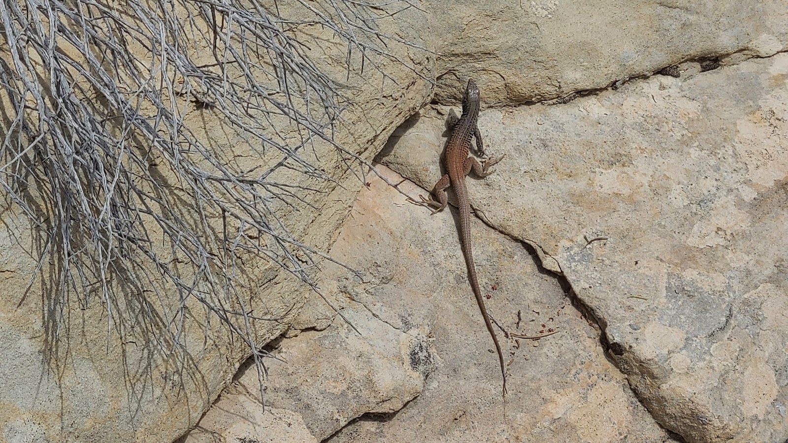 This guy was seen hanging out on this rock, working on his tan I presume.
 By this point they've really started to gain some elevation.
 Here's Sharon leading the way around the next turn...
 ...only to find there's still a long way to go.
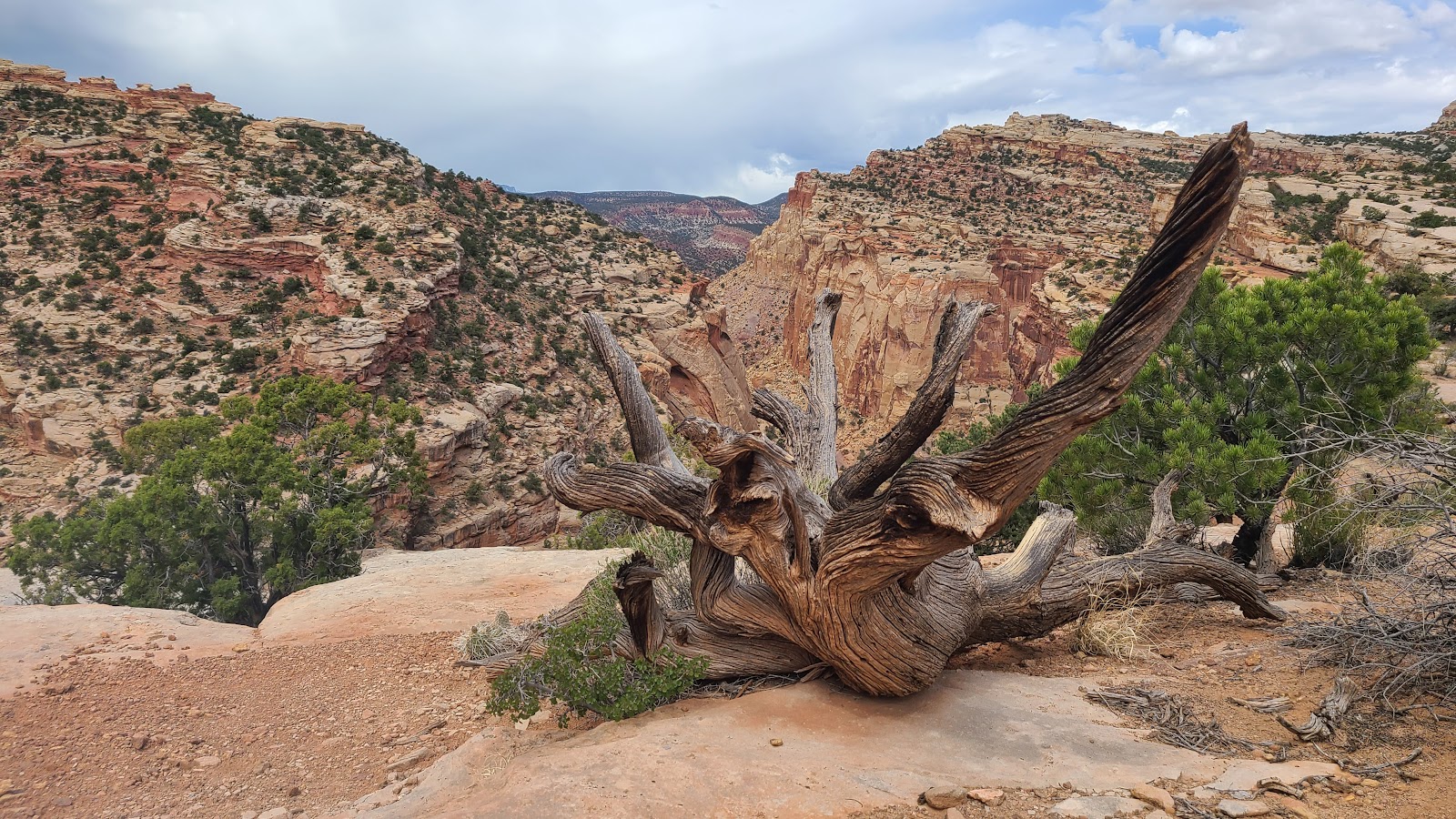 Now that's a pretty knarly looking piece of dead wood.
 Still heading upward towards the trail's end.
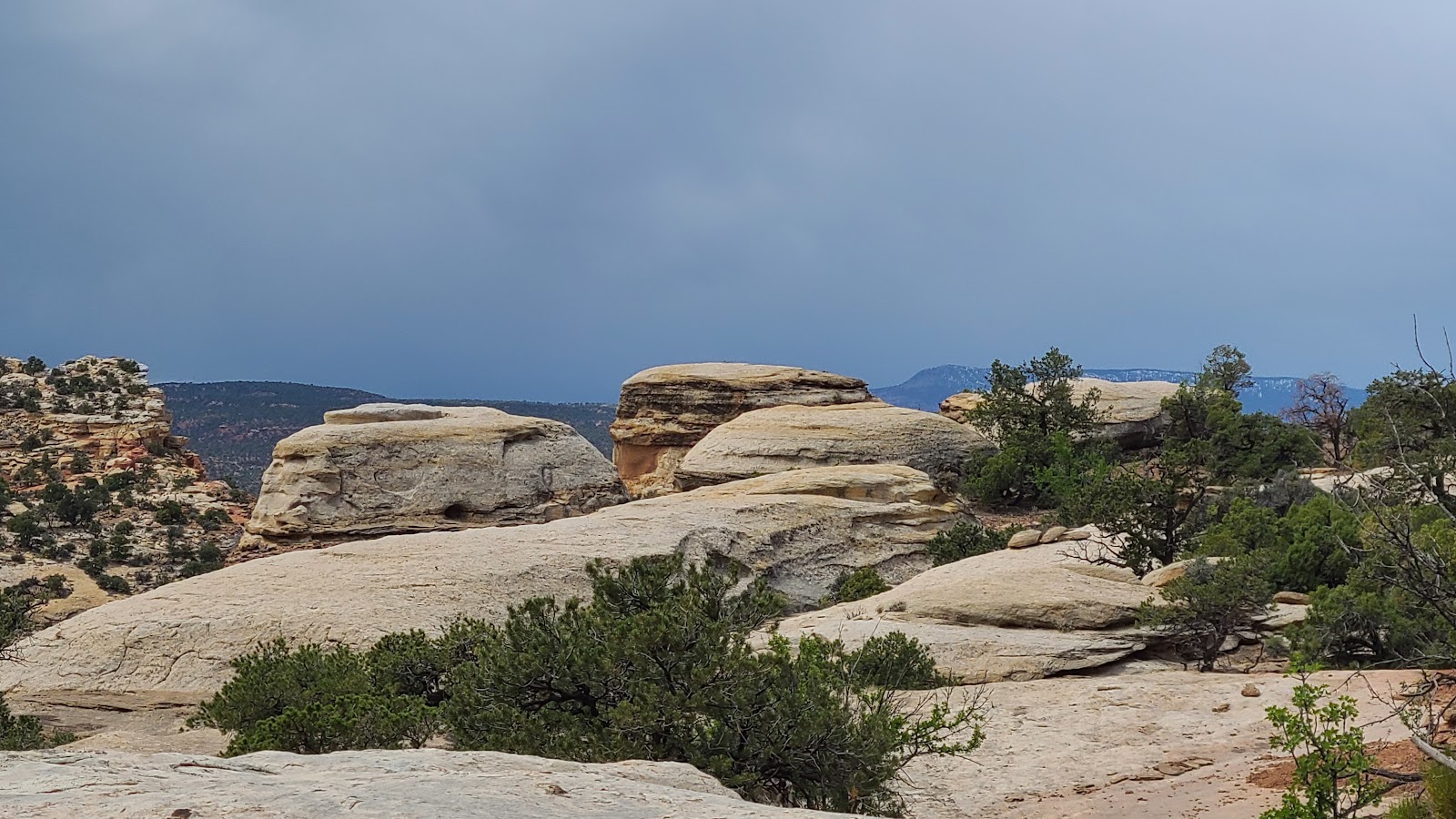 At this point the landscape is taking on an entirely different look.
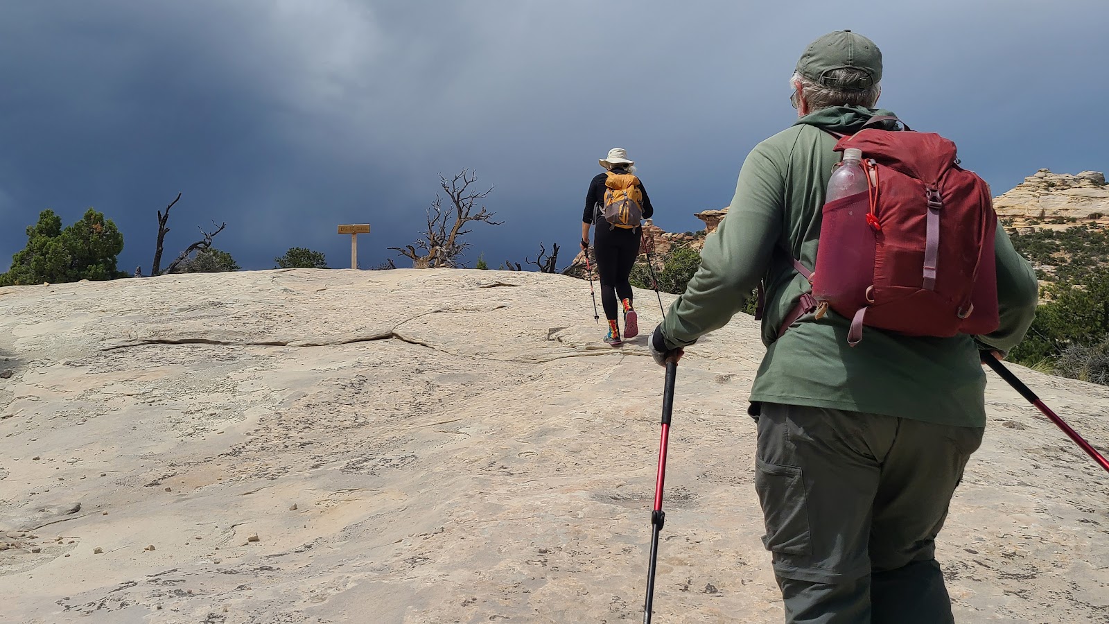 They must be nearing the top. Look! There's a sign posted up ahead.
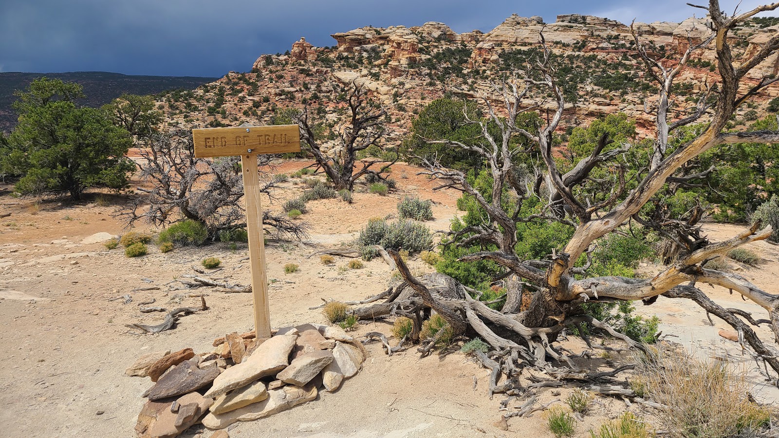 It reads "End of the Trail". They made it!
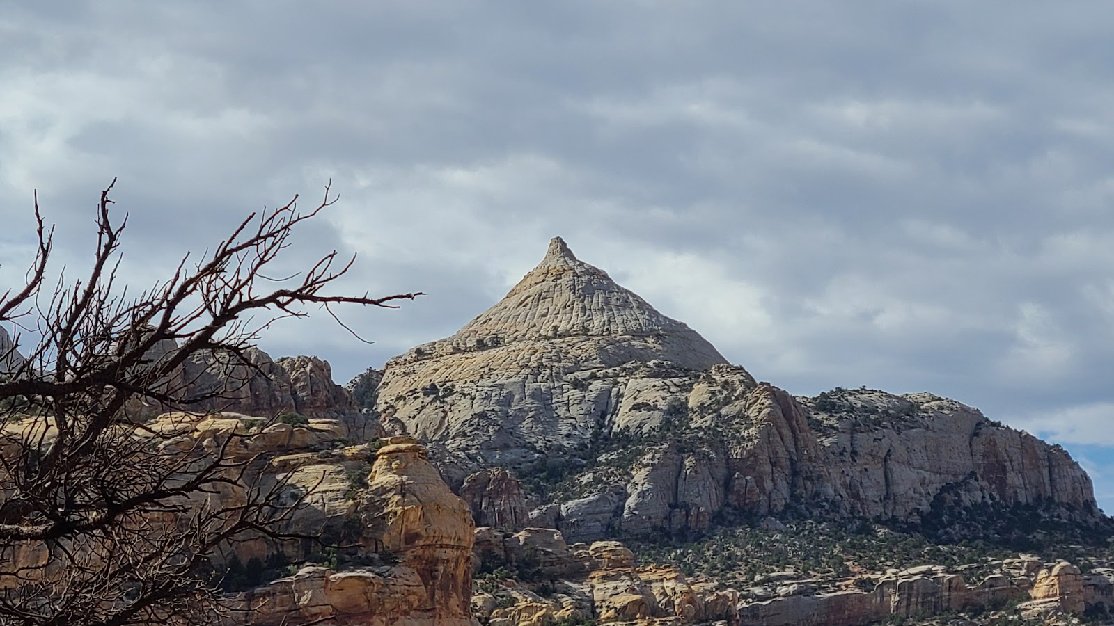
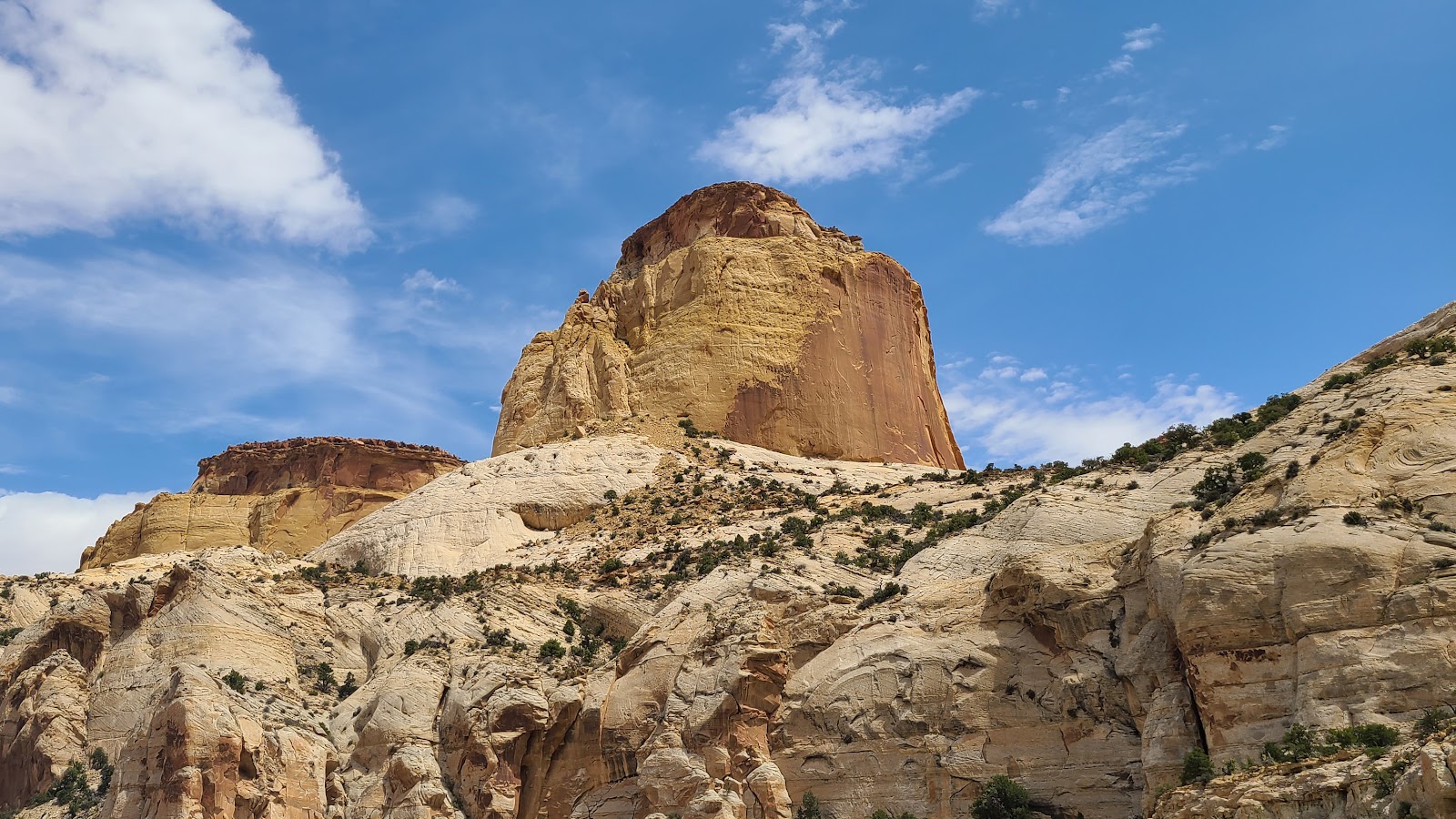 From the trail's end you're rewarded with this view of the trail's namesake, the Golden Throne.
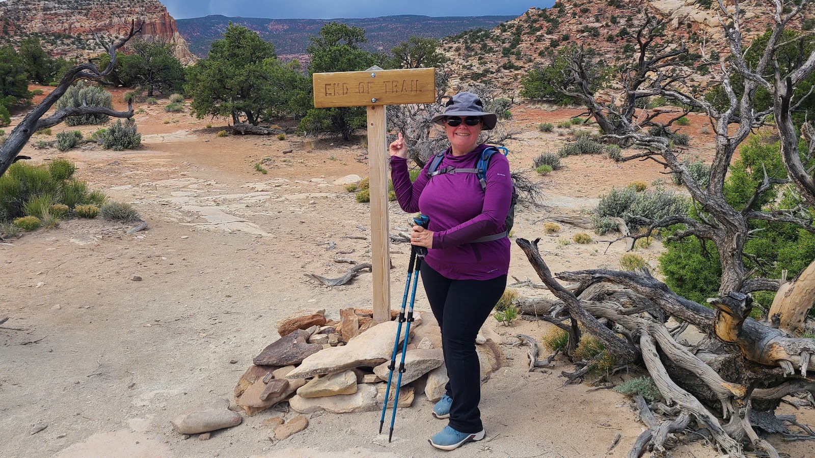 You also get your picture taken to prove you actually made it there.
 Sharon and Rod would probably rate this trail as "EASY" to "MODERATE" instead of strenuous.
 Now it's time to turn around and head back down to the parking lot.
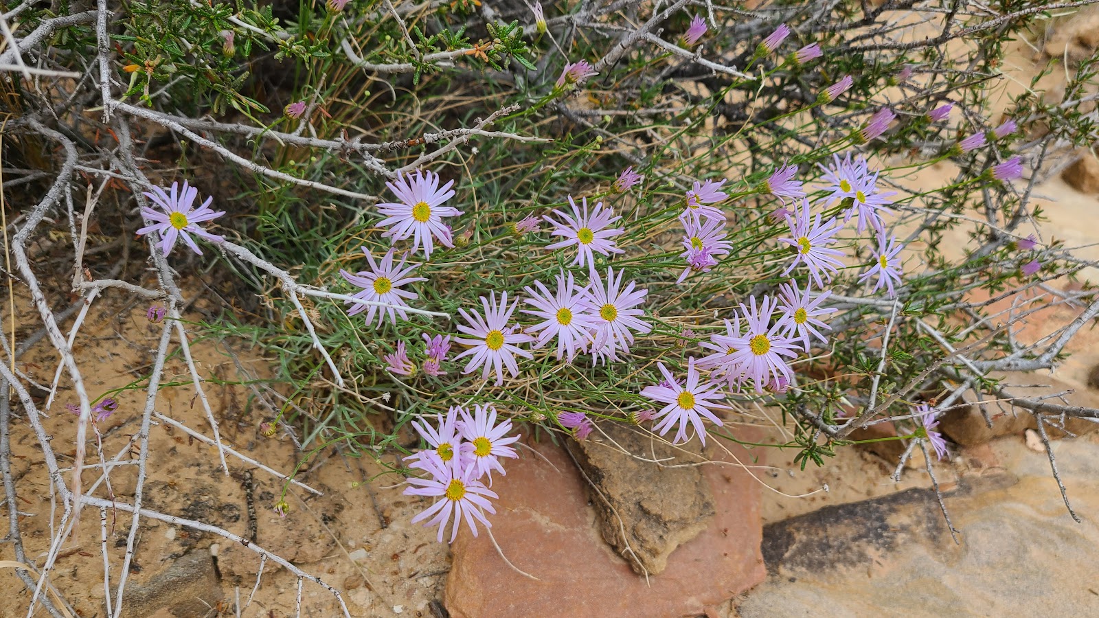
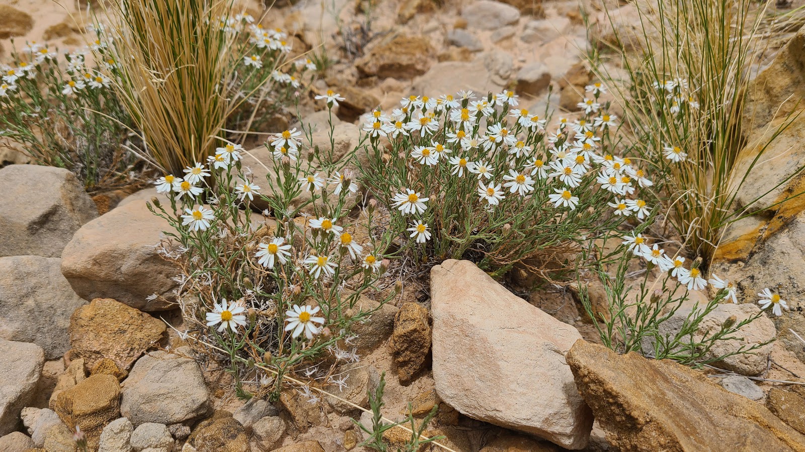 How did we miss this cluster of Rose-Heath on the way up?
 They're finally making progress in getting back to the parking lot.
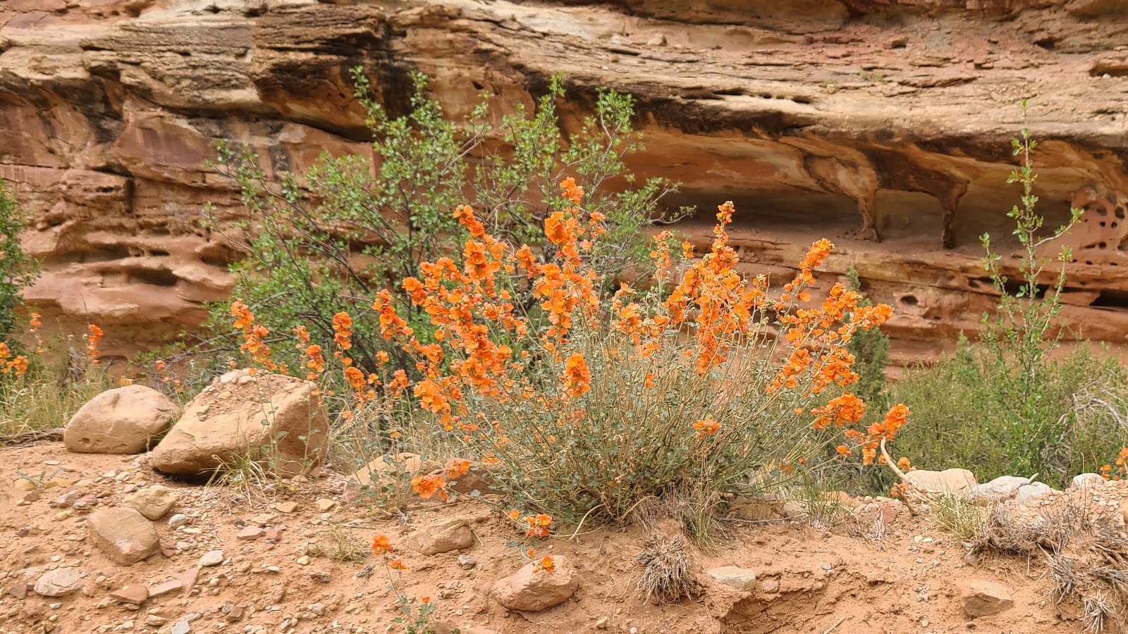
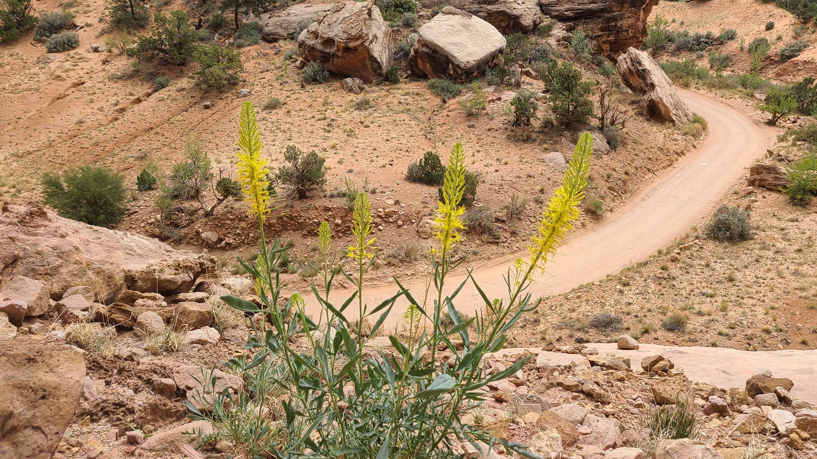 Just a couple more plant ID's and were done. This is called Prince’s Plume.
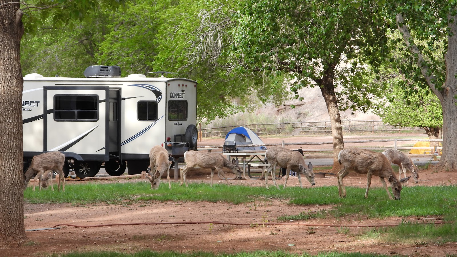
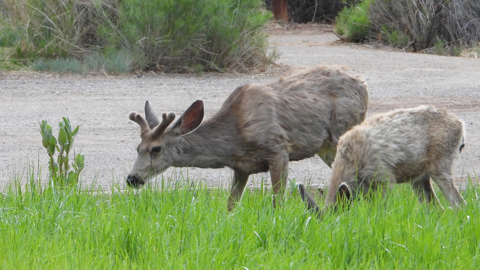
Right around 7PM we had ten visitors to the campground, they came and left without a word.
These deer had no fear of walking right down the middle of the "no vacancy" campground.
After the campground they wandered into the grassy field behind our campsite for a little desert.
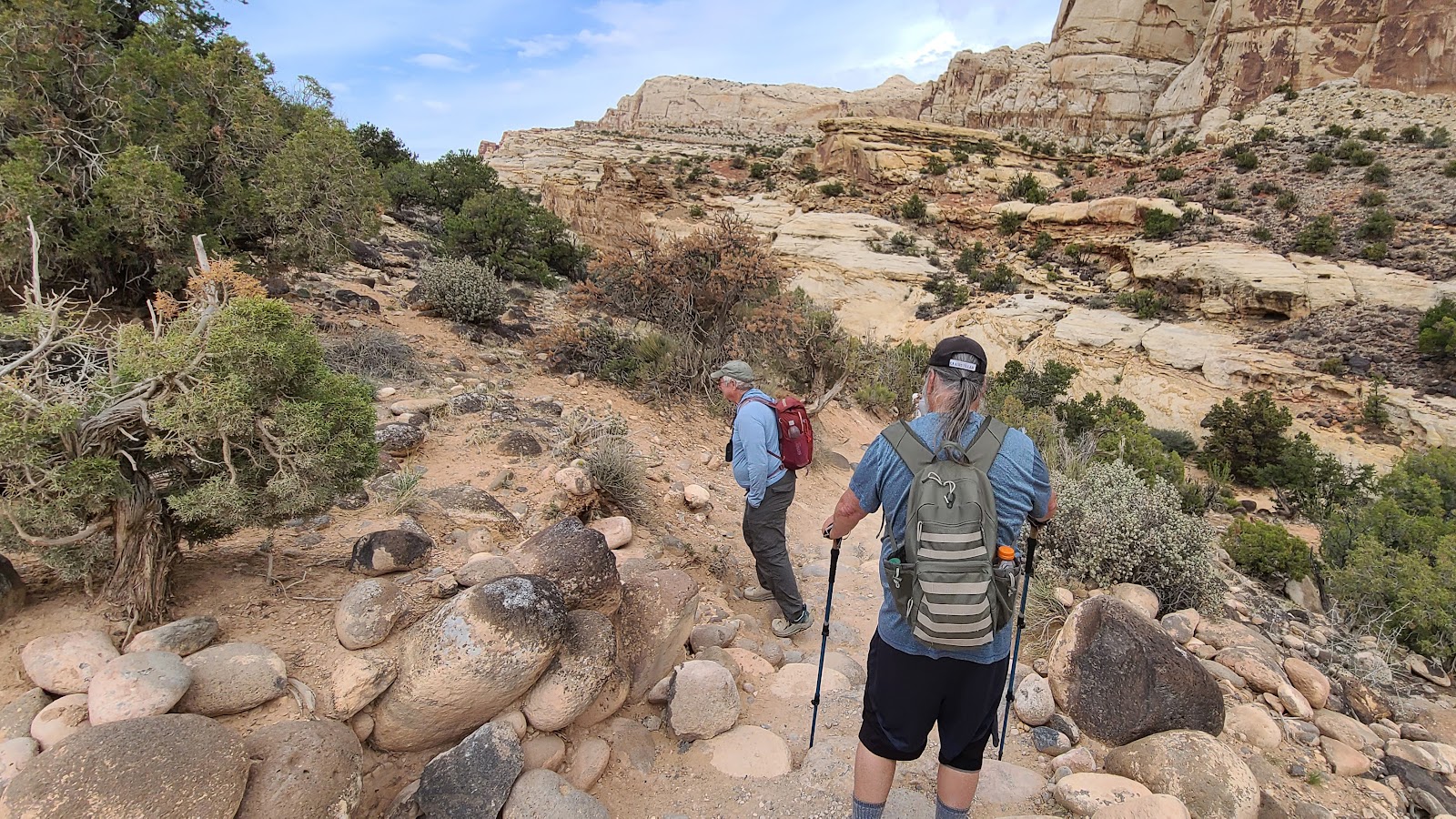
WEDNESDAY - Today the "experienced hikers" have elected to check out a trail that I believe I might be capable of completing, the "MODERATE" rated 1.8-mile round trip, 400' elevation gain, Hickman Bridge Trail.
This trail is located outside of the Historic Fruita District of the park where the campgound and Visitor Center are located. It's trailhead is just a few miles east down UT-24.
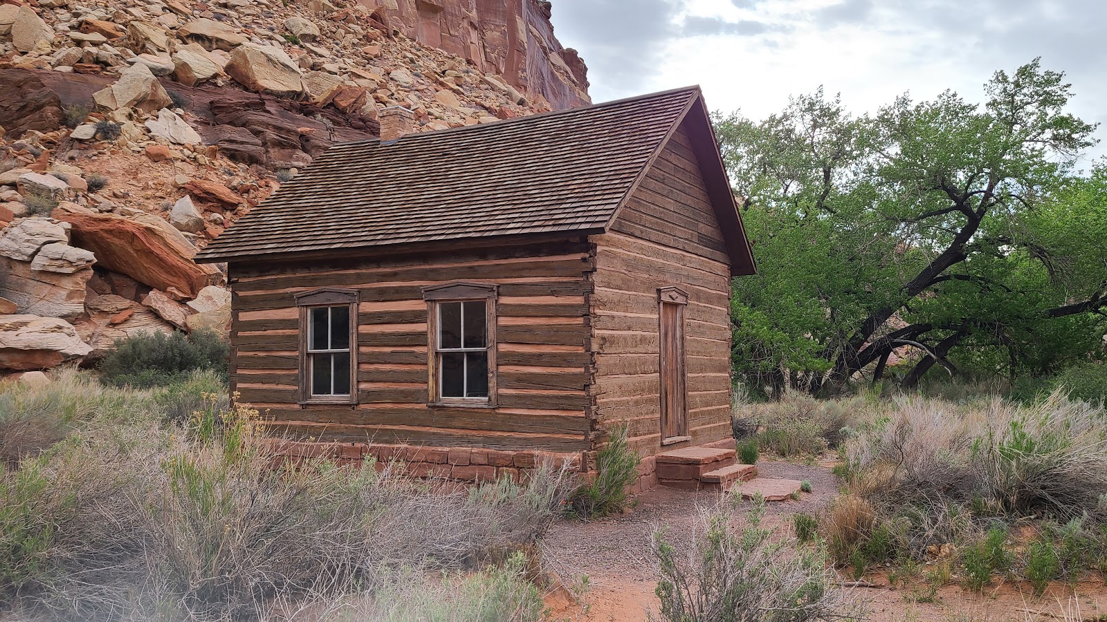
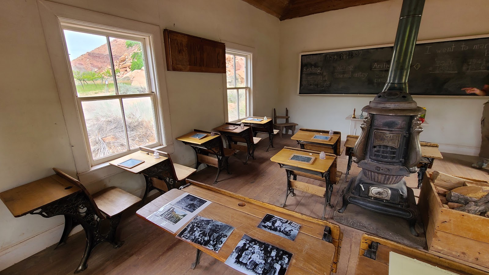
On our way to the trailhead we checked out two other sightseeing opportunites along the highway. First up is the restored Fruita Schoolhouse (circa 1896-1941). No more than 10 families at a time lived in this area and all the school age children were taught their lessons in this one room schoolhouse.
There was a volunteer on site to answer any questions we had about the schoolhouse.
Many historical photos were upon the desktops for us to check out.
From 600-1300 A.D. the native people of the Fremont Culture inhabited the region we now call Capitol Reef National Park. They left behind petroglyphs that were unique from most etchings we've seen in other areas of the southwest.
There is a collection of these petroglyph panels along UT-12 on the northern ancient rockwalls as the road passes through the Waterpocket Fold area.
Most of the time when we see "human" shapes they are nothing more than stick figures.
These etchings seem to have "alien" looking features. I'm just sayin', it makes me wonder!
Down this elevated boardwalk there were more traditional looking etchings.
Here you'll find big horn sheep, bears and other native animal etchings.
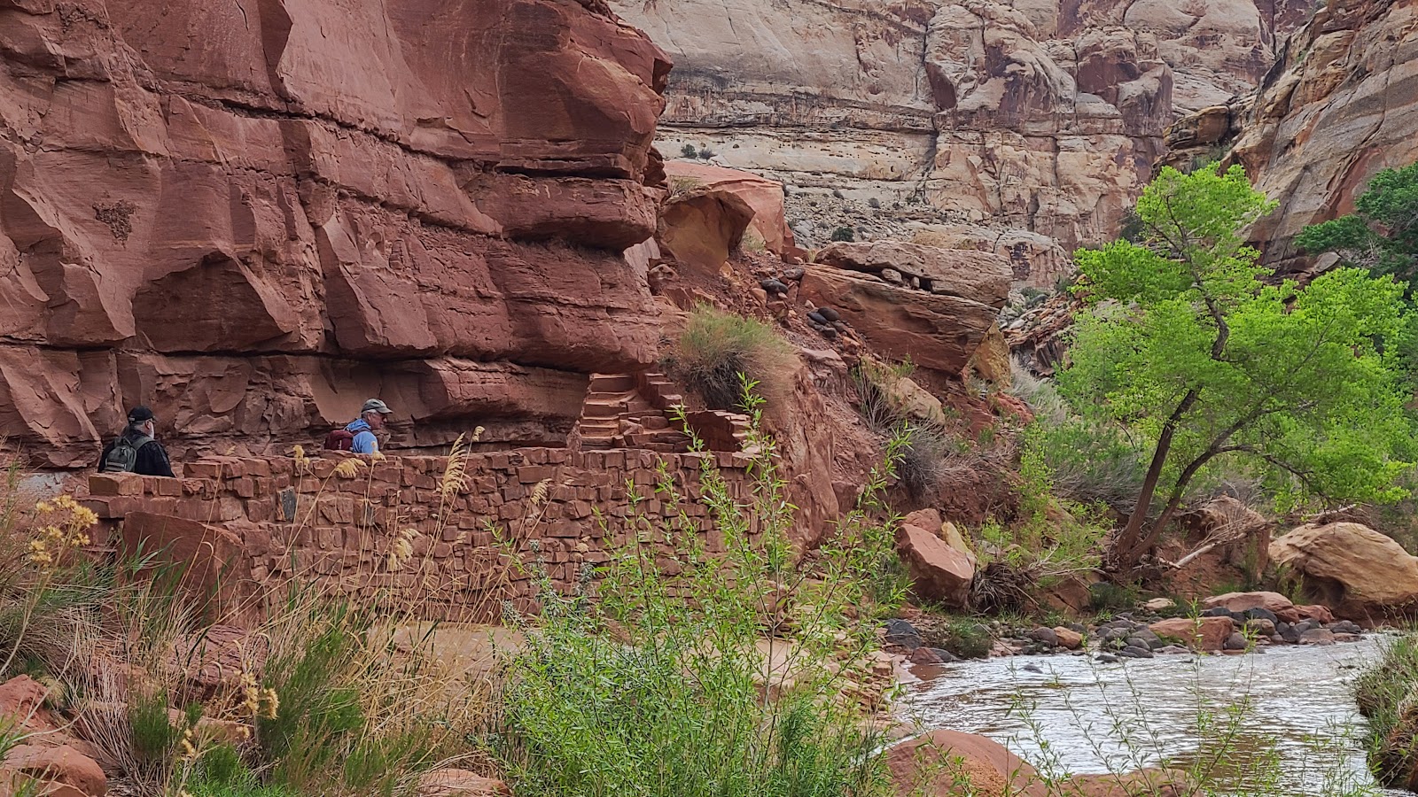
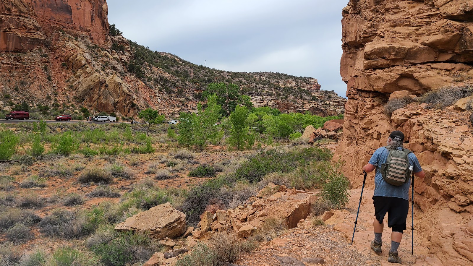
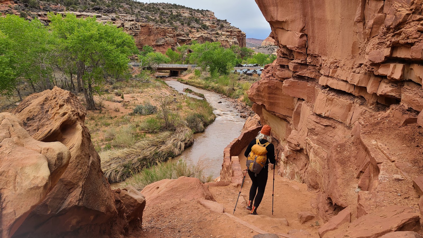
We arrived at the Hickman Bridge Trailhead at 9:30AM, but it was already too late to obtain a parking space in the parking lot. Rod and I both had to park along the roadside on UT-12 and then walk 100-yards back down the road to the parking lot.
The National Park hikers must all be early risers. We were up early also, but had to travel 15-miles to the next town to mail a letter to a friend in order to obtain tag renewals for THE POD. ROVER's tag was renewable online, just like we've done every year for the past five while on the road, but not THE POD's, not this year anyway.
Don't worry we'll get it all sorted out before they expire next month.
HICKMAN BRIDGE TRAIL
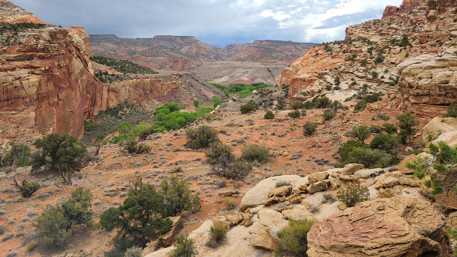
 The trail begins by following the fast flowing Fremont River.
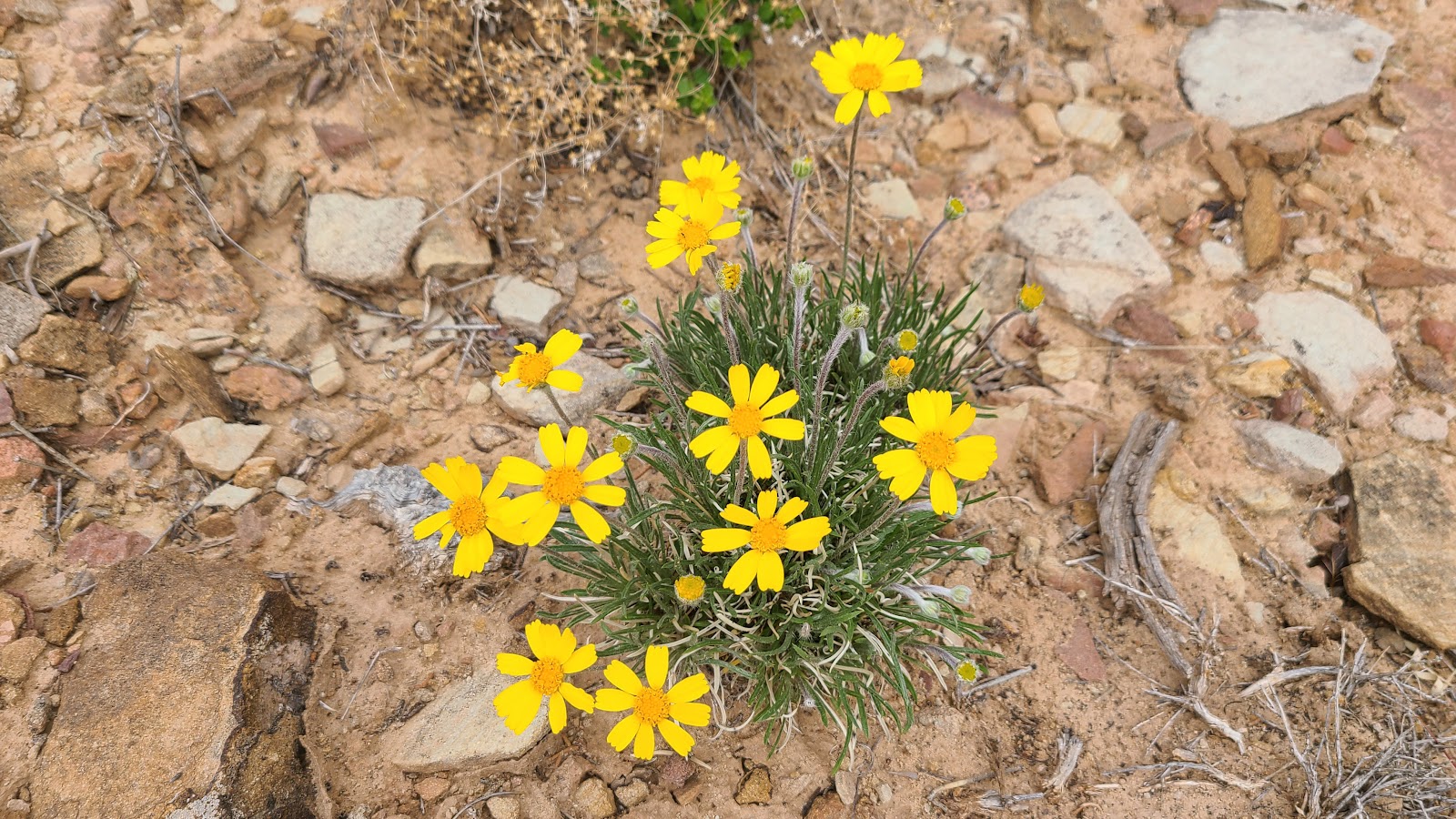
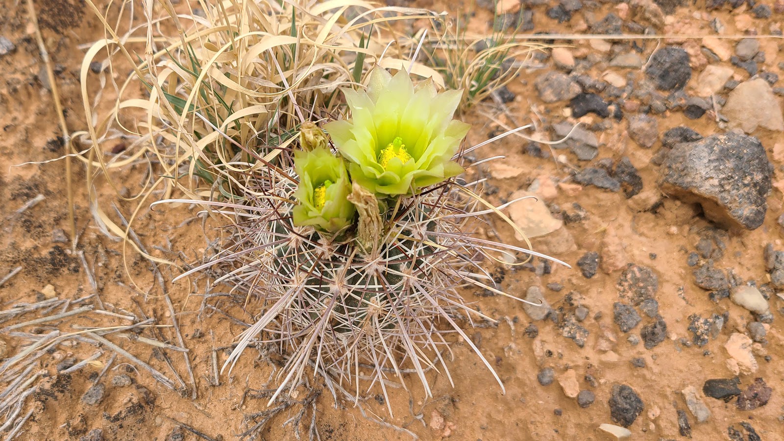
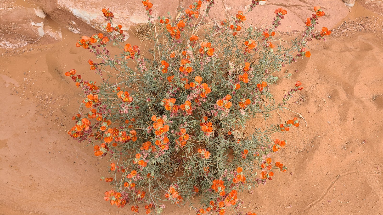 There seems to be this Globemallow flowering plant all around this area.
 This section of the trail is fairly level, but that changes just around the next corner.
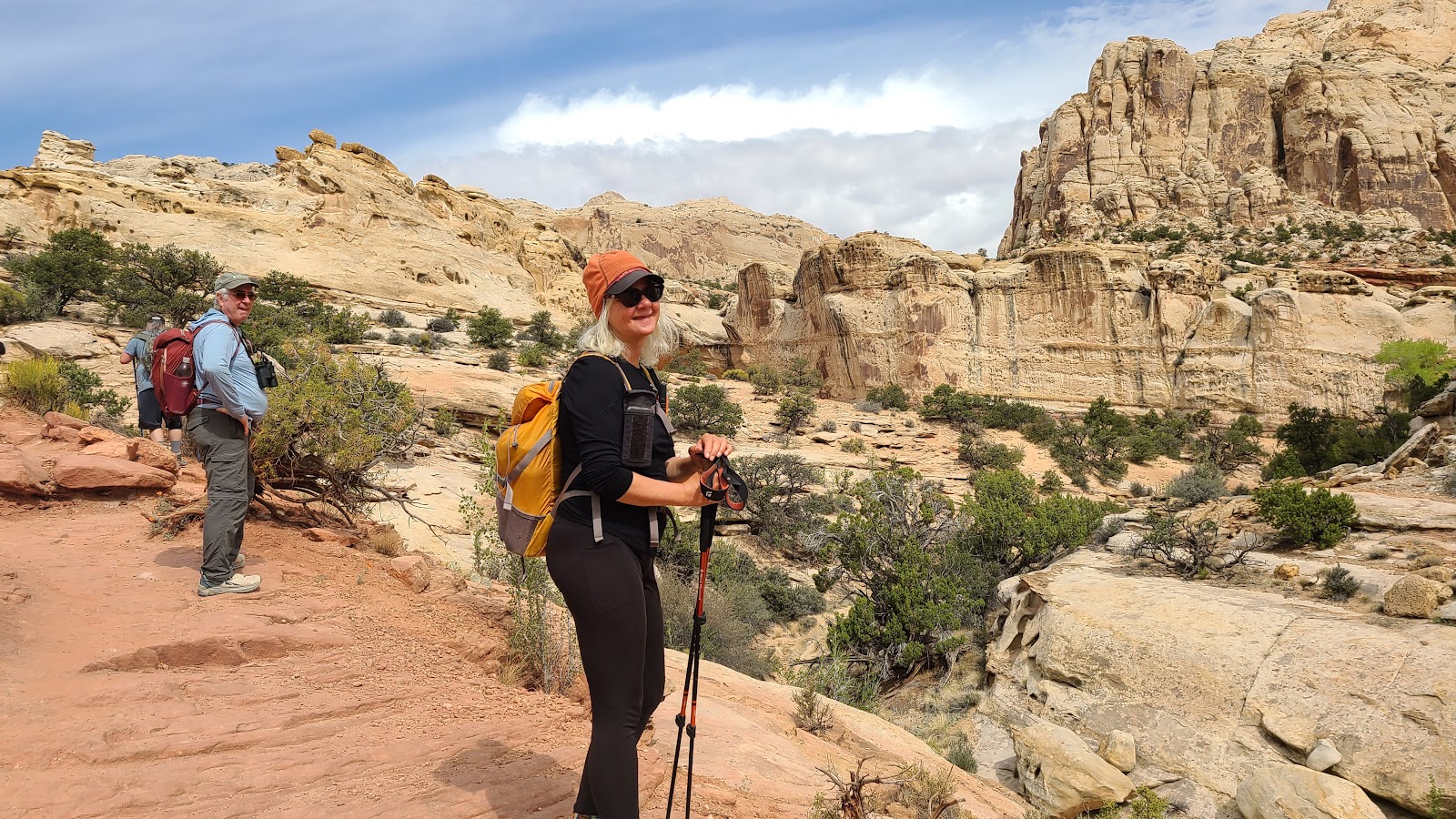
 Rod is constantly checking out sounds and sightings along the trail.
 Looks like we're a few days early to see these blooms on display.
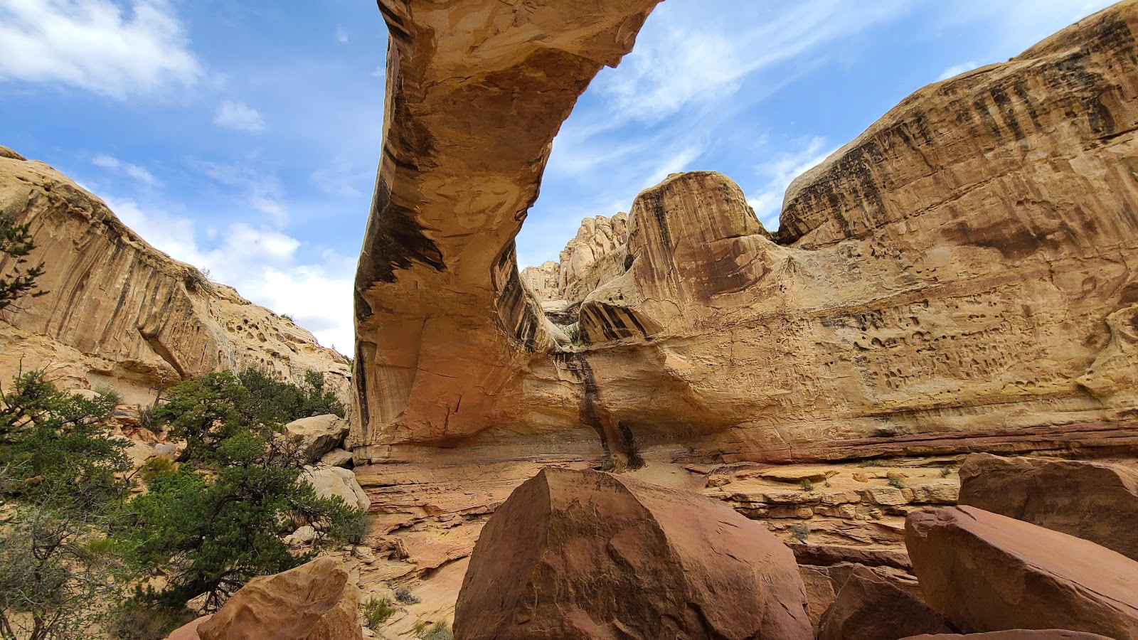
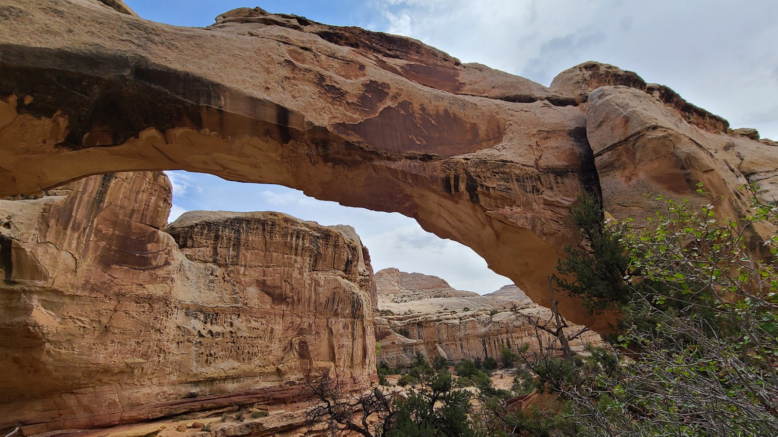
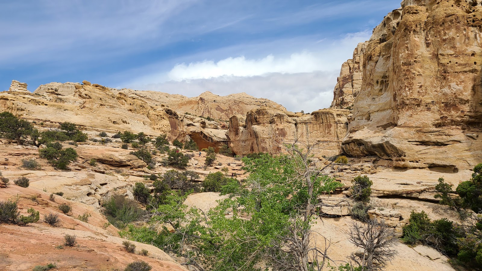
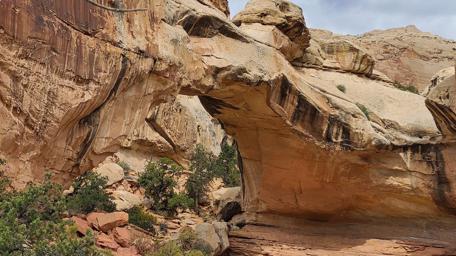
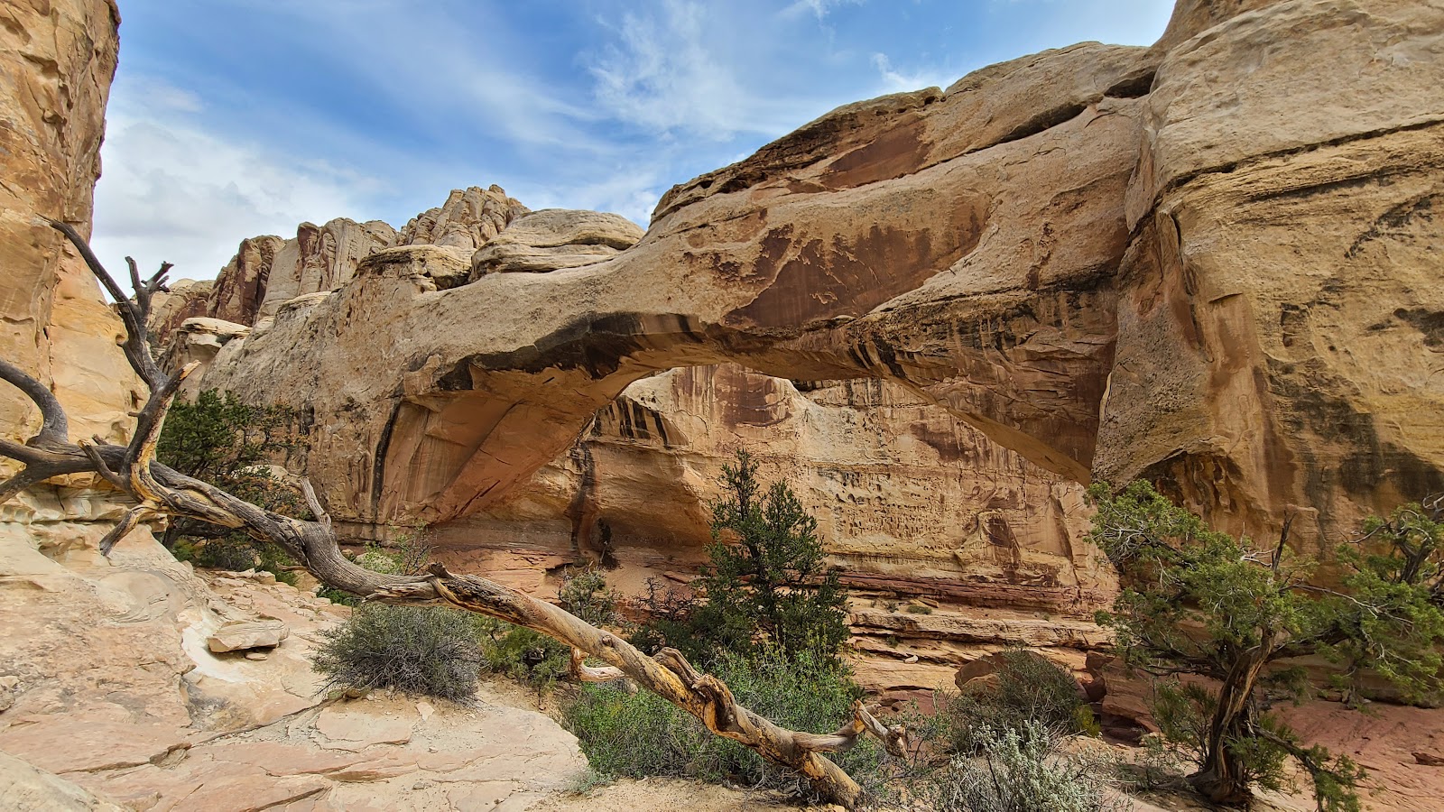
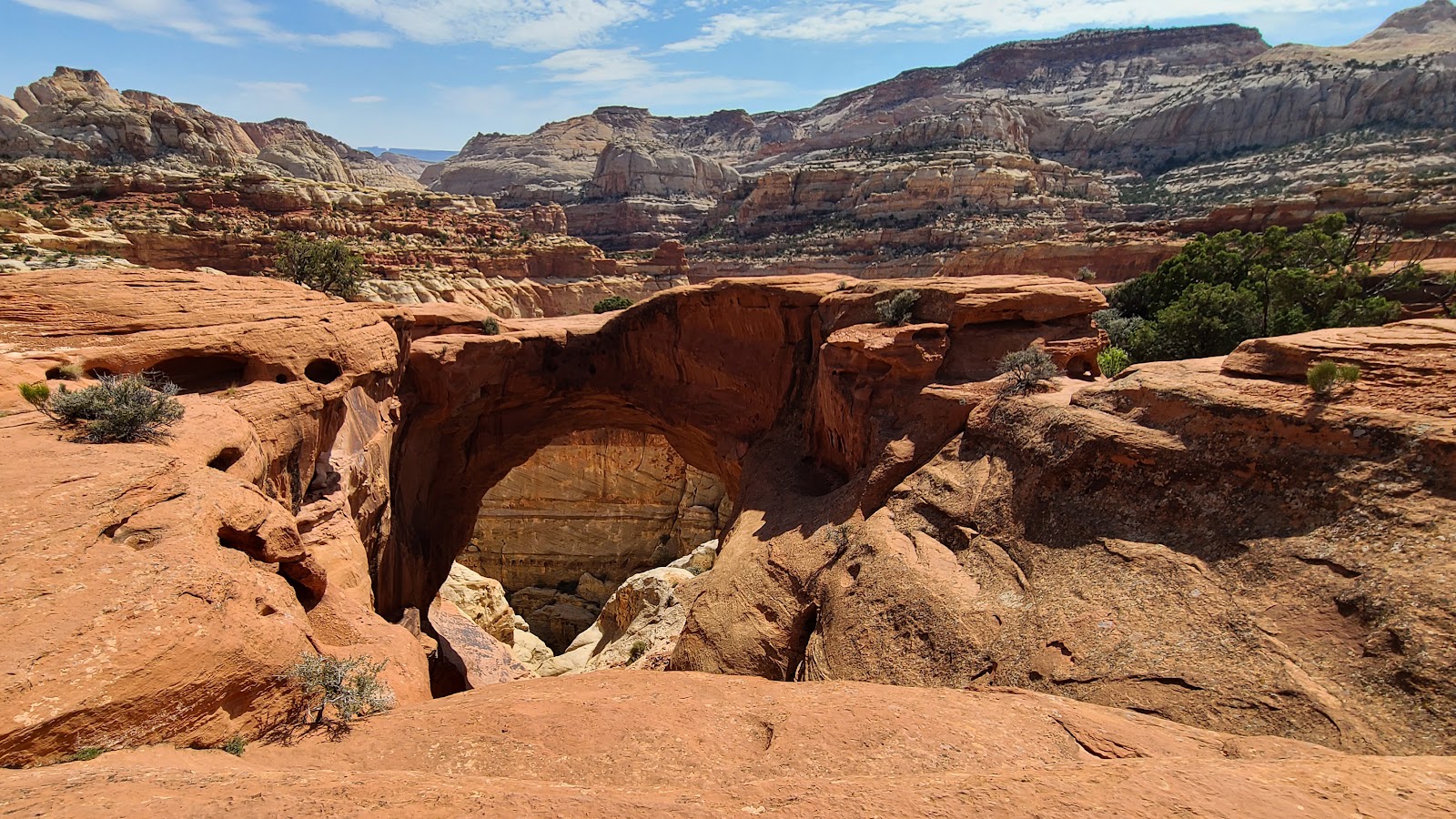
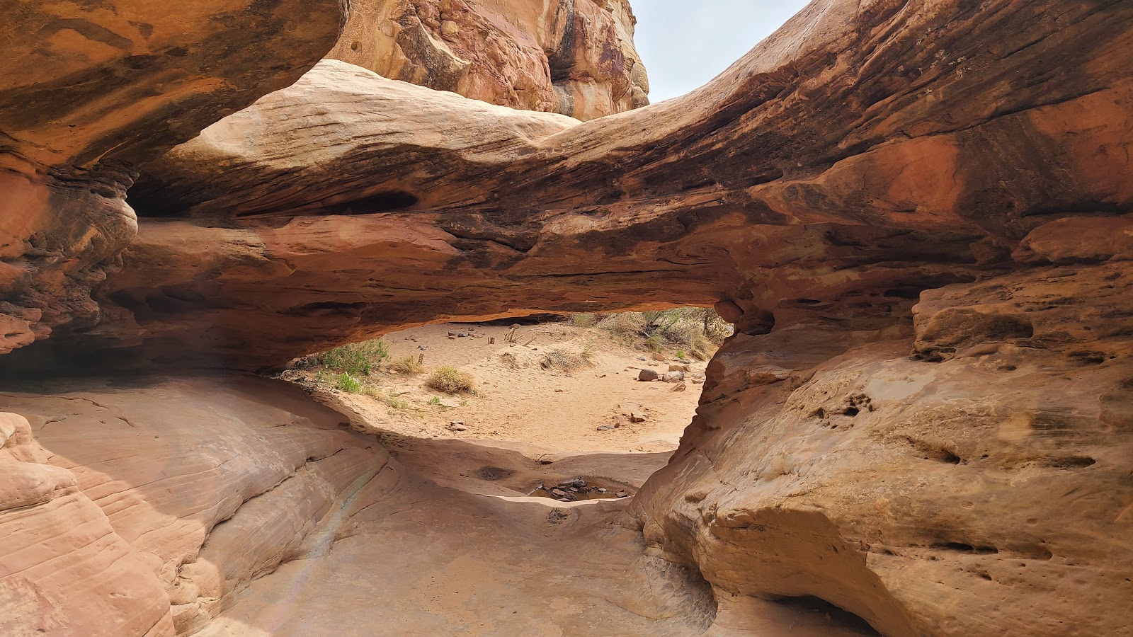 This can't be the Hickman Bridge, it isn't 133' tall?
 This double bridge is barely 6' tall.
 But it's still fun to explore and walk beneath.
 Oops! Looks like they caught me sitting down and taking a break.
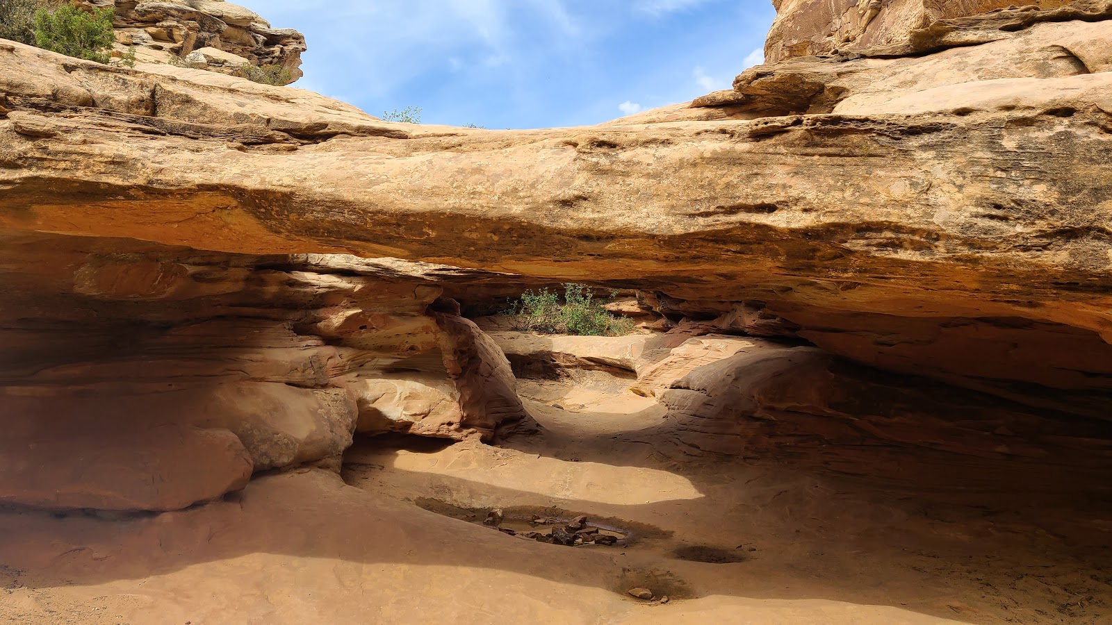
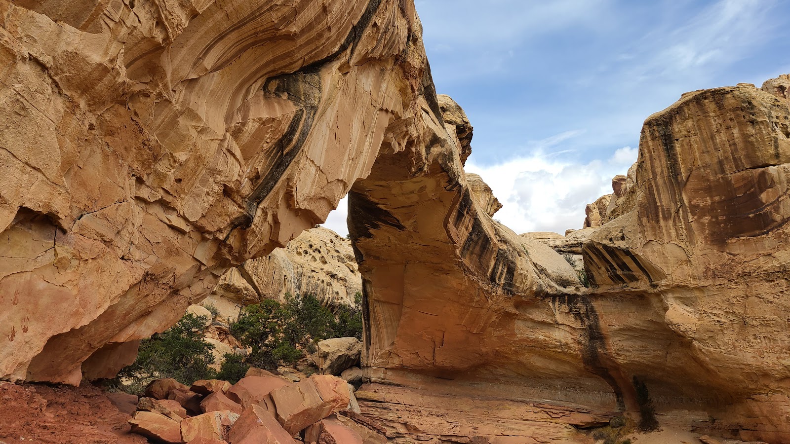
 The Hickman Bridge is in this photo. Can you spot it?
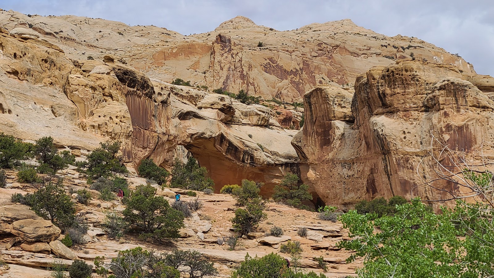 Maybe this closeup will help, a little bit anyway.
 Sharon and Rod have spotted it.
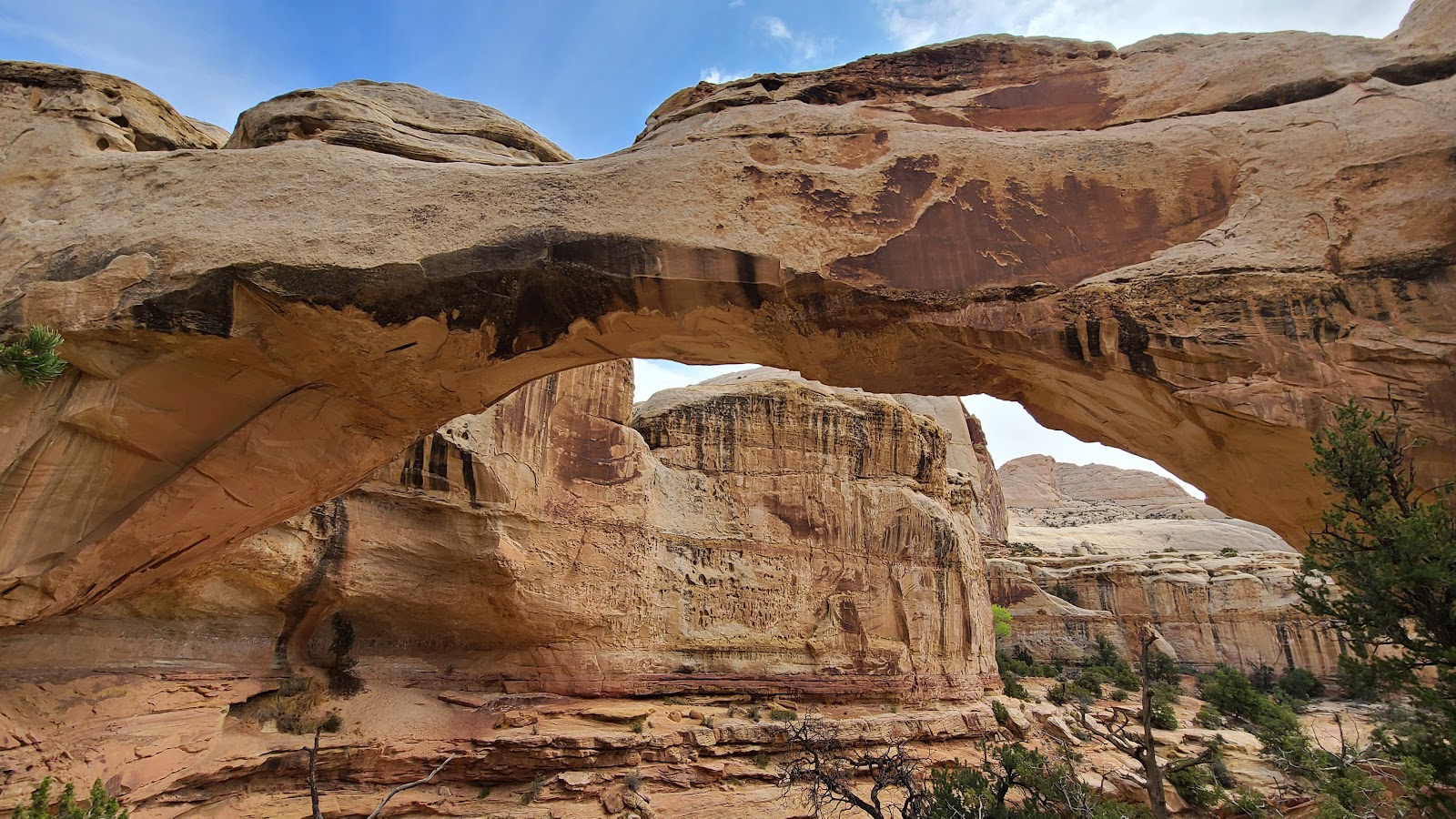
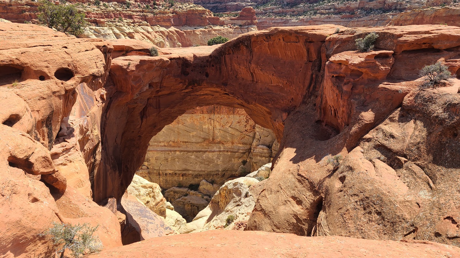
 Still hard to see, but it's there, all 133' of it.
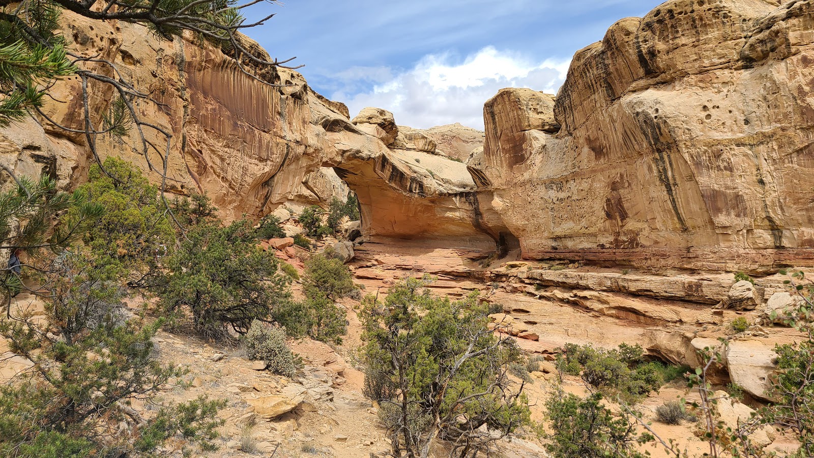
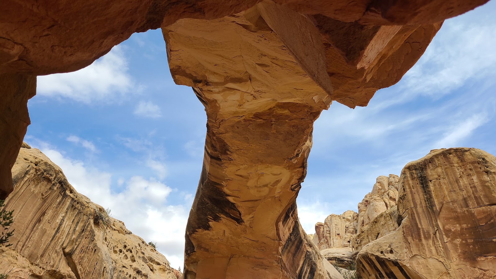
 Now it should be obvious, we're just about directly underneath of it.
 There you go, now you can see the sky on the other side.
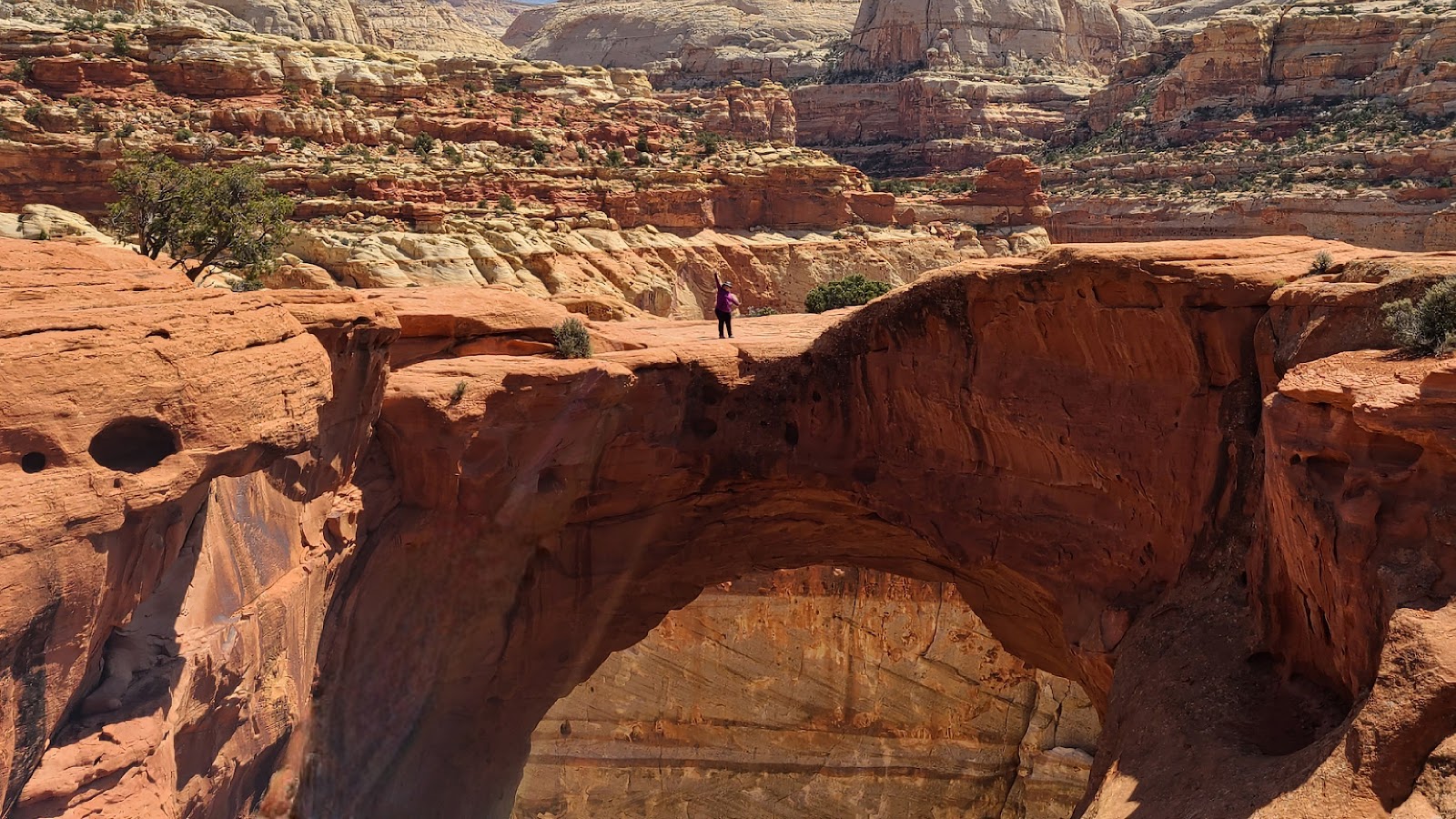
 It's 133' tall, hard to tell how wide it is, at least twice that.
 It sure was worth the 1-mile hike and 400' of climbing to get here and see it.
 Here we are directly underneath the Hickman Bridge.
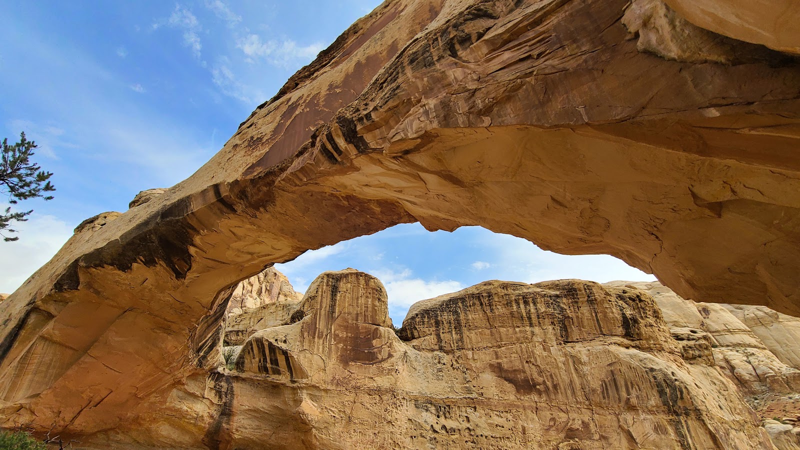 And now a view from the back side.
 This is where we decided to break for a snack and refreshments.
 It looks just as awesome from the backside.
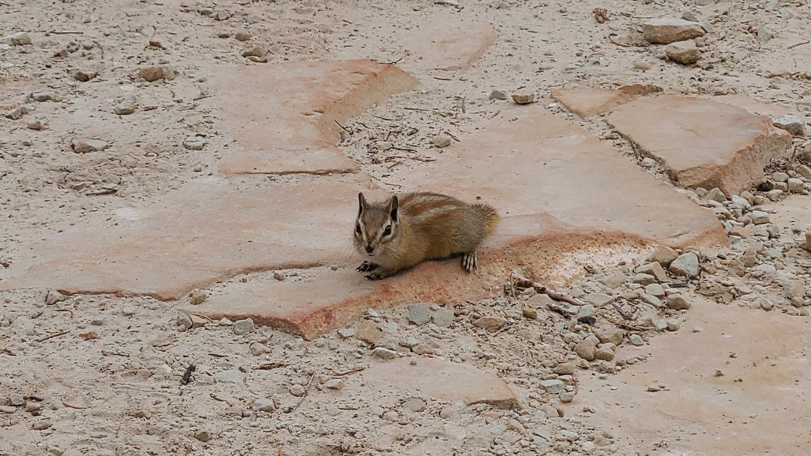 Looks like the wildlife has found us snacking on our Trail Mix.
 Sharon left her bag unattended, not such a wise thing to do around a hungry squirrel.
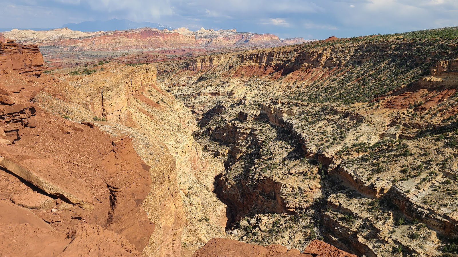
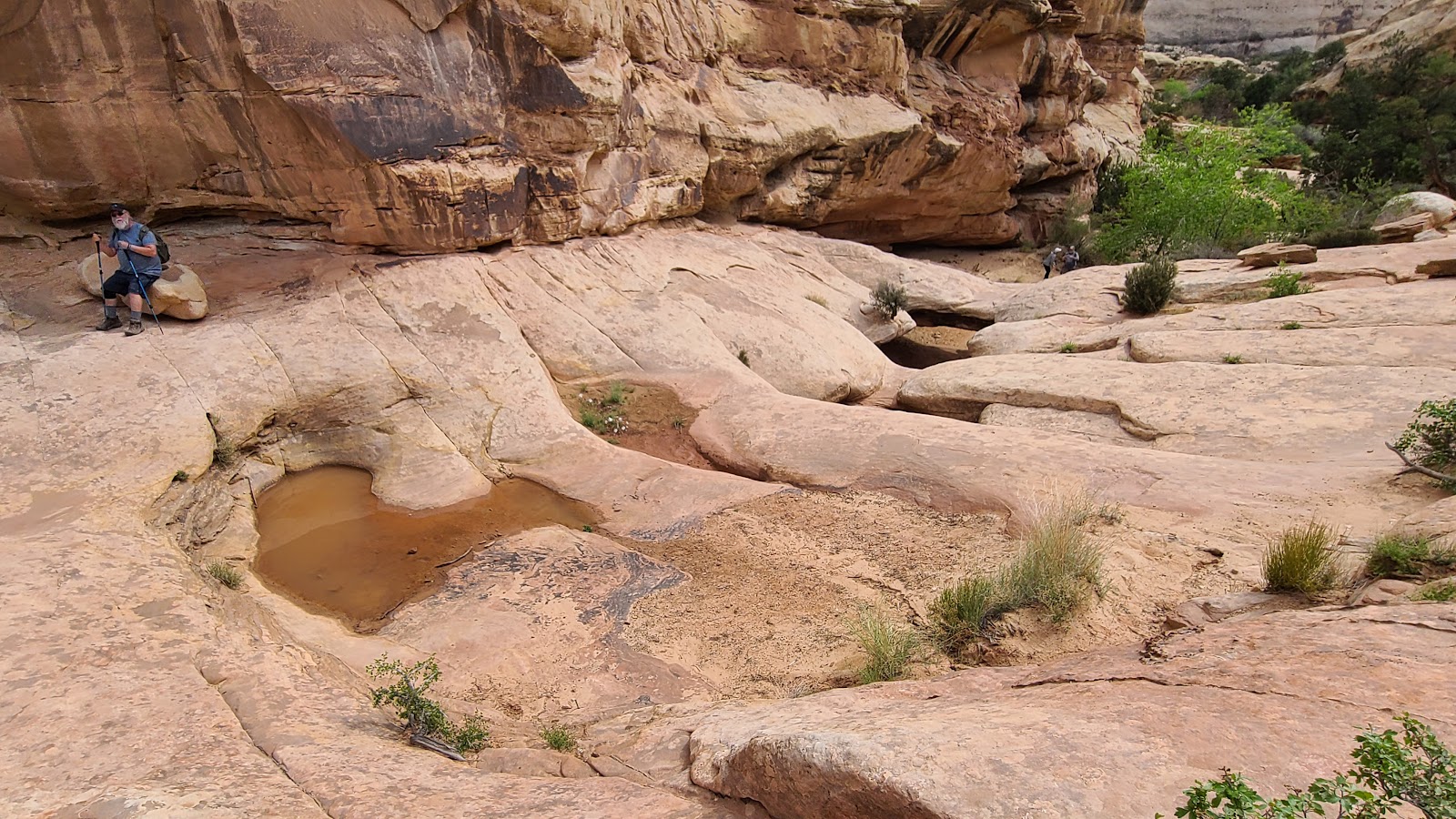
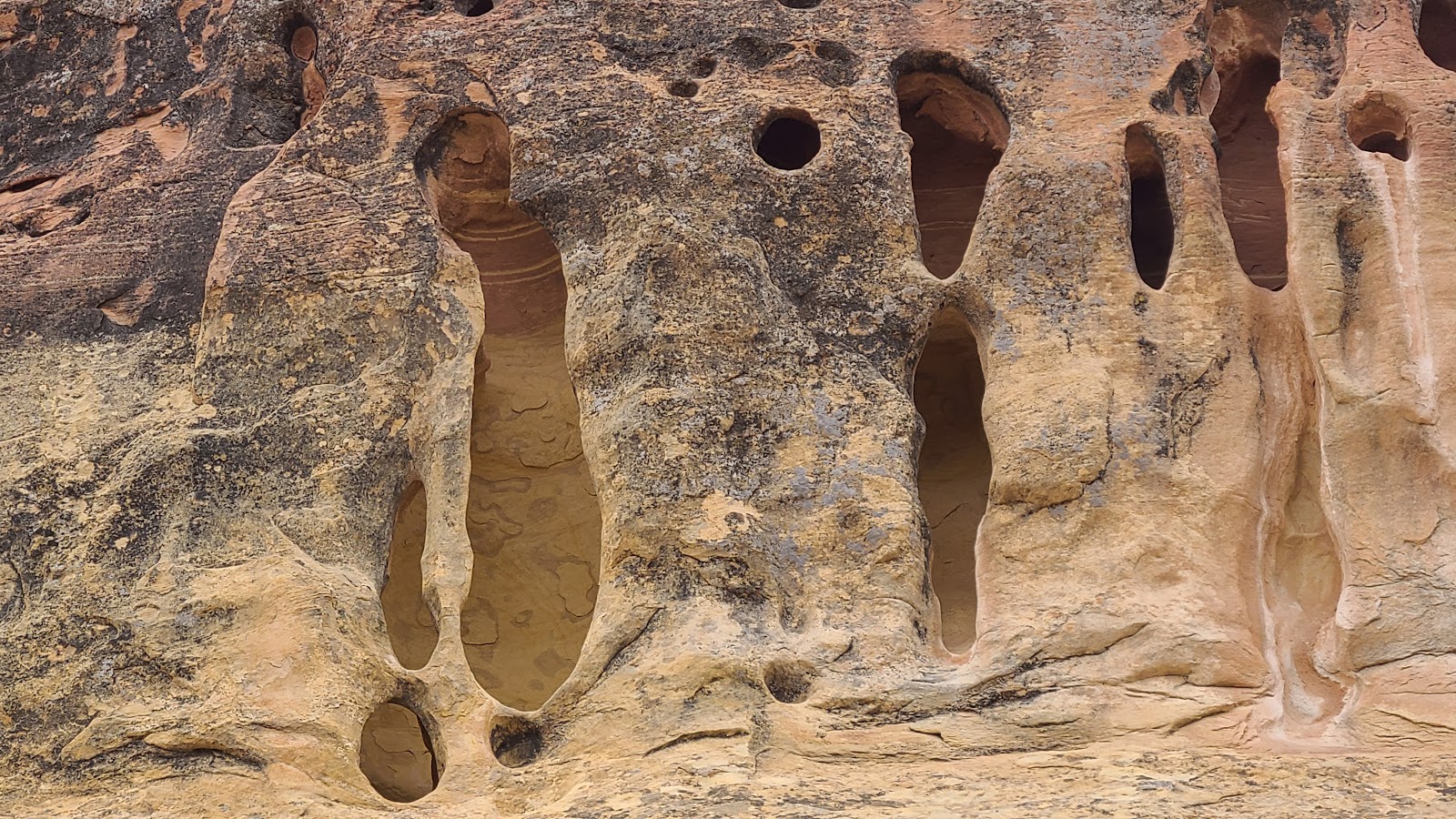 These are basically sinkholes in the side of the canyon wall.
 The light green trees show where the Fremont River flows below.
 All right everybody, it's pretty and all, but let's head back to the parking lot.
 I'm not sure if this is something new, or it will turn bright red when fully in bloom.
 All right, now we're getting close.
 Sharon leads the way back to the parking lot, we're almost there.
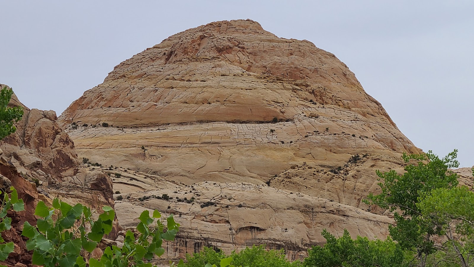
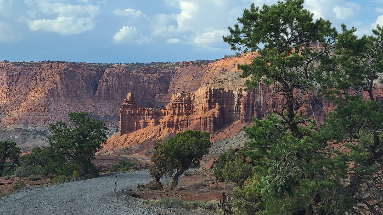
Another great thing about the Hickman Bridge Trailhead parking lot is it offers this wonderful view of Capitol Dome, the formation from which Capitol Reef National Park gets it's name.
FRIDAY - This morning, bright and early, Rod and Sharon stopped by our campsite to pick up Tricia to go on a hike.
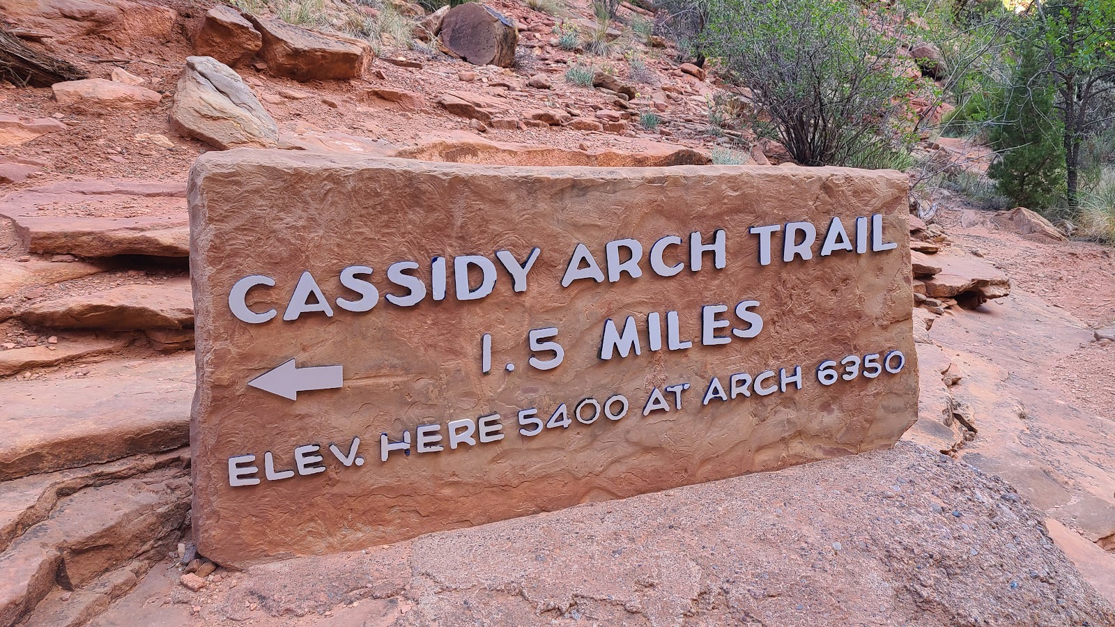
Today's selected hike is the Cassidy Arch Trail and is listed as STRENUOUS in the park brochure mainly due to it's 950' of elevation gain and it's 3.4-mile round trip length. With stats like that, I'm sitting this one out!
CASSIDY ARCH TRAIL
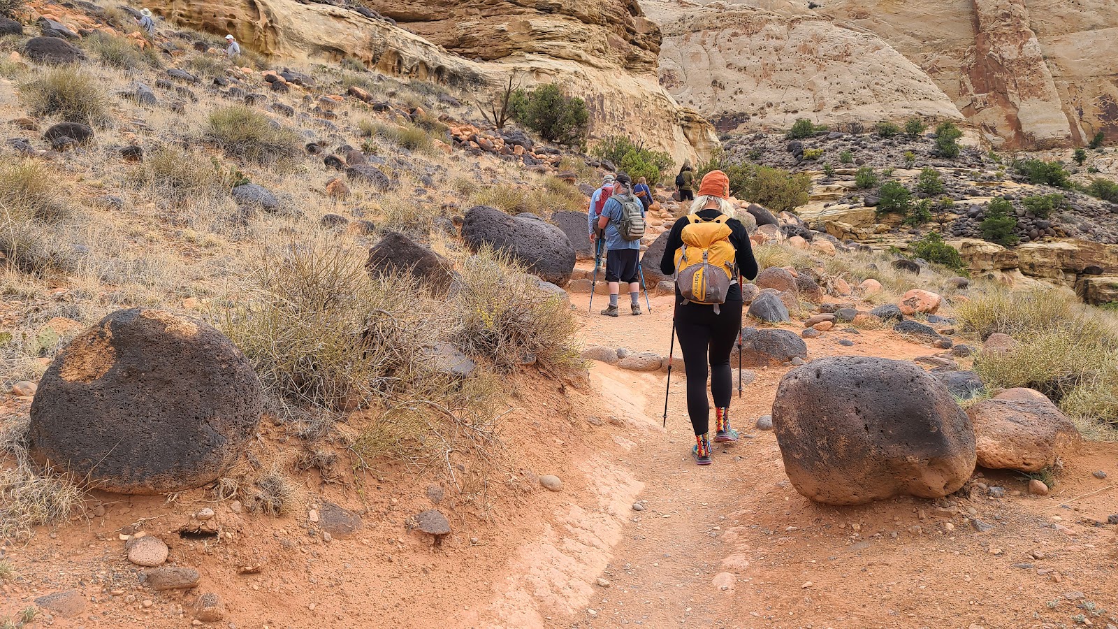
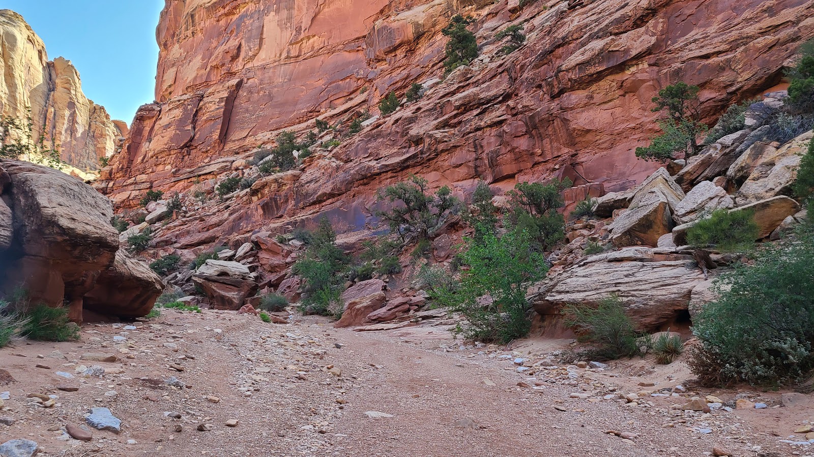 The first quarter mile of the trail is down a sandy wash.
 The early morning sun really highlights the different rock colors.
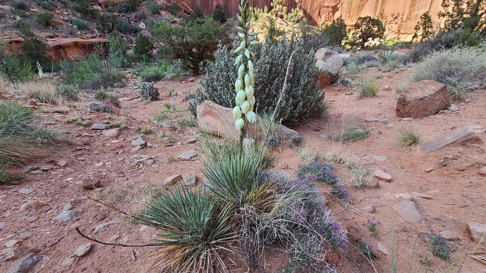 A few more days and this yucca plant will be in full bloom.
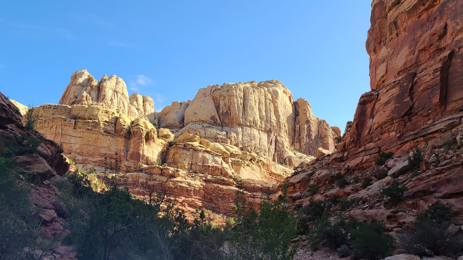
 From here on out it's going to be a rough climb to the arch.
 Somewhere way up there is the destination.
 Judging by the tiny road down below I'd guess they're only half way there.
 Yep! Stilling climbing up the trail from here.
 Here's Sharon in her usual position as lead hiker.
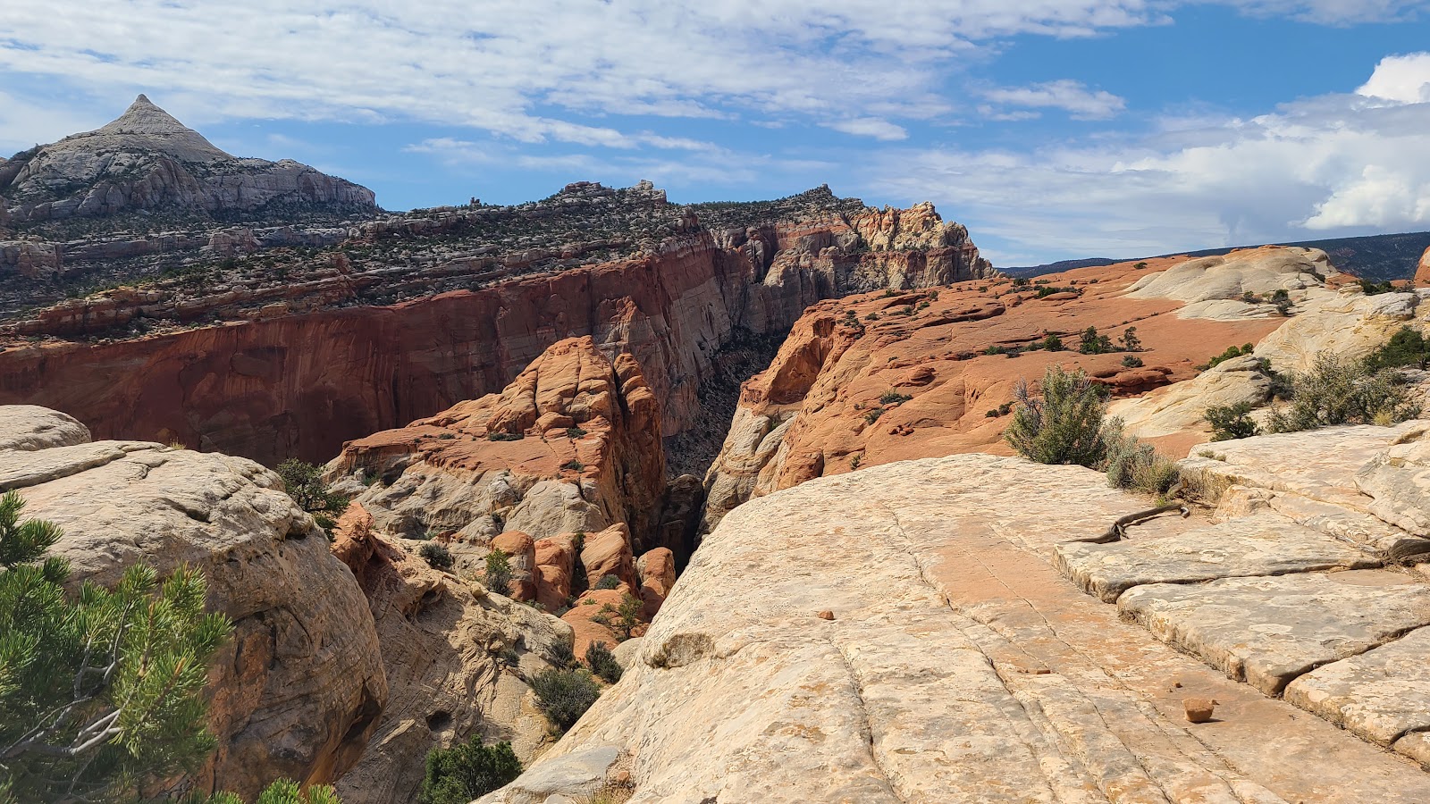
 That formation in the background looks different than all the others around here.
 The 7,065' peak is called Ferns Nipple, named after Butch Cassidy's girlfriend.
 A view of the trailhead parking lot far below.
 Sharon, being in the lead, is the first one to spot Cassidy Arch. Do you see it?
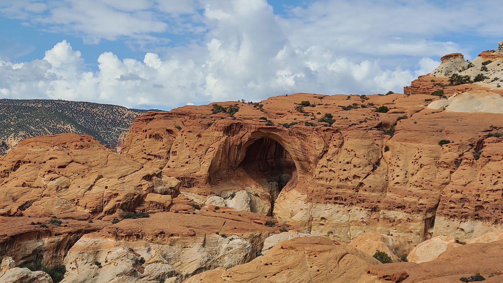 Maybe this close up will help locating it.
 There is still a great deal of hiking to do before they arrive at the arch.
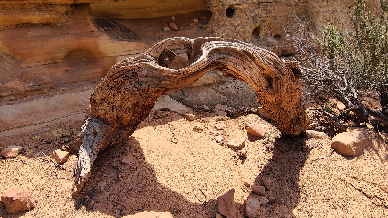 A piece of that knarly wood with it's own arch.
 That little stack of rocks on Sharon's right is called a "cairn", used here as a trail marker.
 Finally they've arrived as Cassidy Arch,
named after Butch Cassidy who was rumored to have a hideout in the area.
 A closer look at Cassidy Arch.
 Tricia's photographic proof that she made it to the arch.
 Hey! How'd she get way over there so fast?
 They weren't the only hikers up at Cassidy Arch this morning.
Returning to the campsite after the trio's STRENUOUS hike up to Cassidy Arch, we all sat outside for an hour or so and then began a discussion of what to do next.
Where do they get all that energy?
A walking tour of the small Fruita Historic District was chosen for the next activity. Fortunately, it's only a short distance from the campground and there's a nice shady path from here to there.
FRUITA HISTORIC DISTRICT
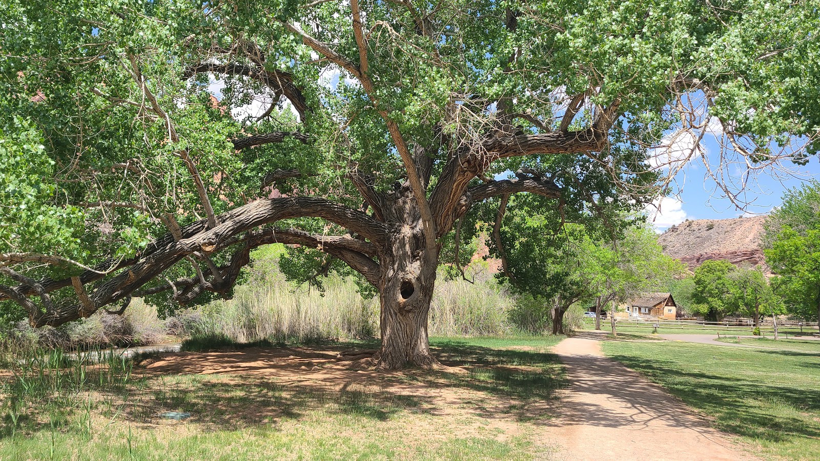 A large cottonwood tree supplies shade along the footpath to the Historic District.
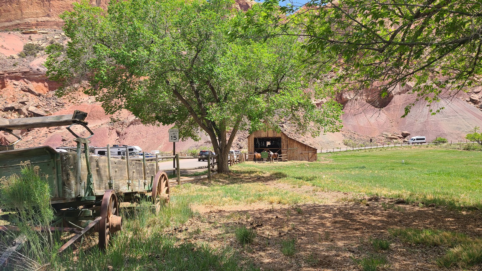 The park maintains a horse barn on the property, complete with several horses.
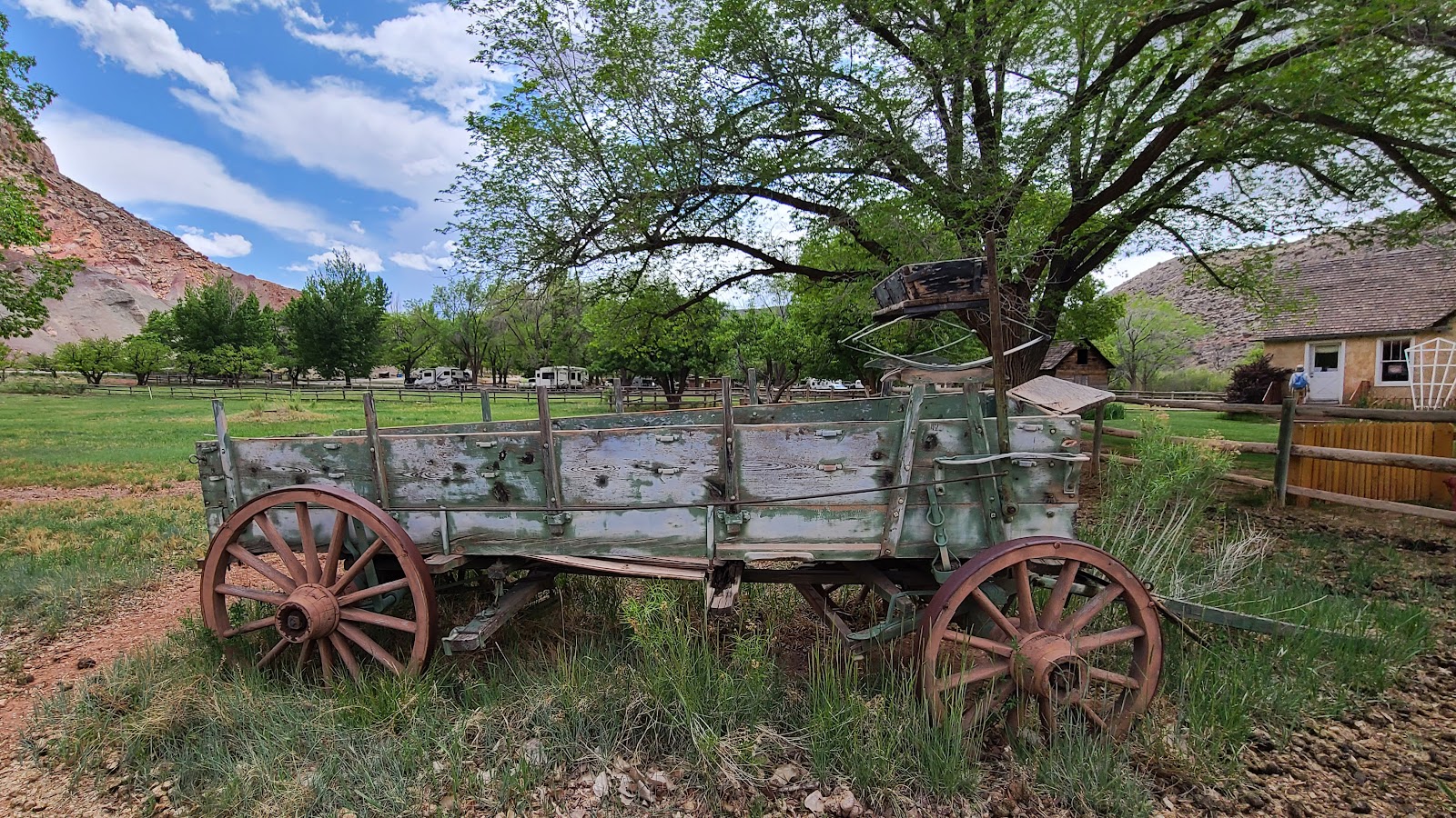 This old wagon looks to still be in usable shape.
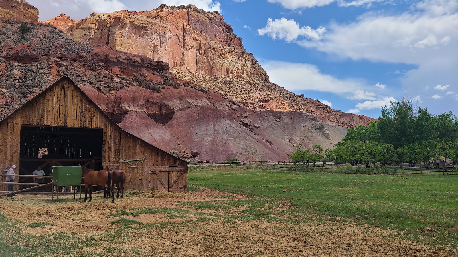 Today is "new shoes day" for the horses.
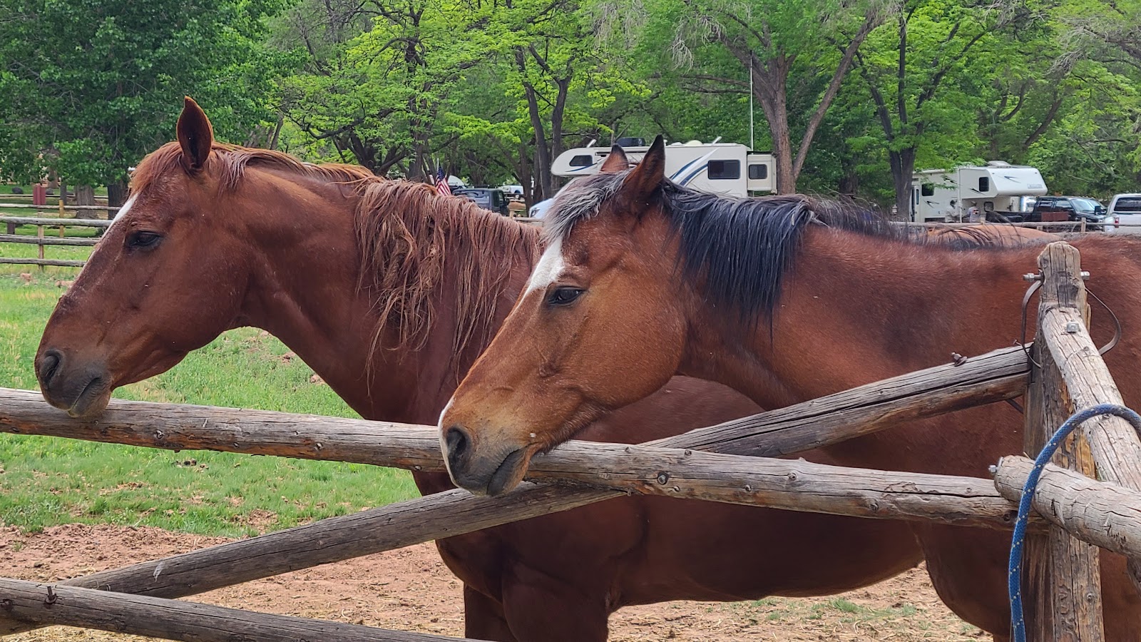 These two beauties await their turn for new shoes.
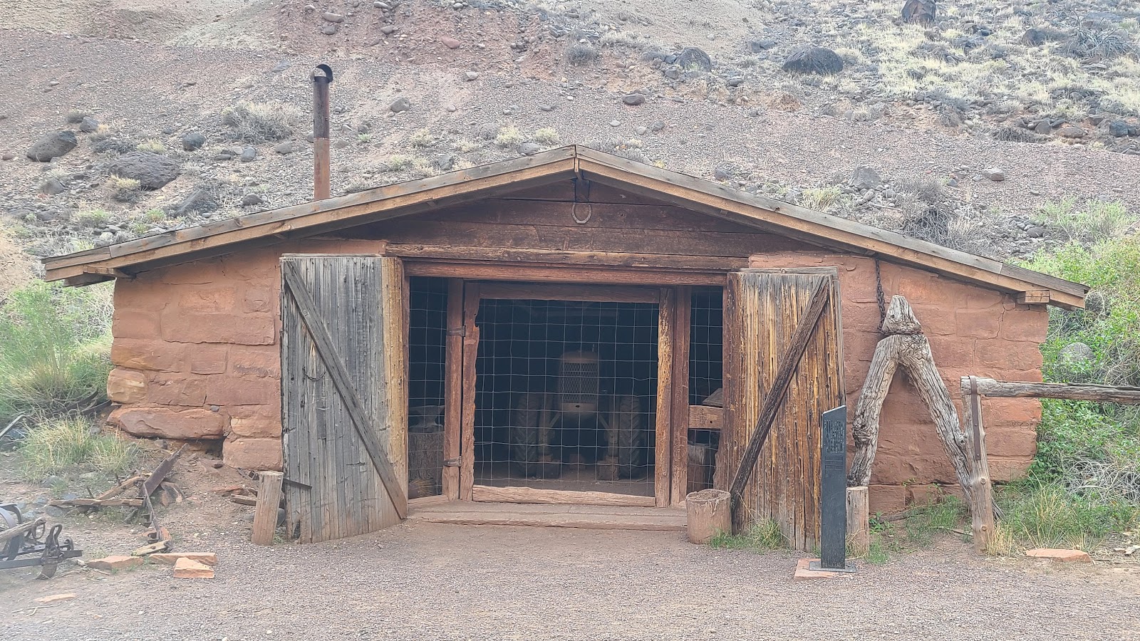 This is the 1880s blacksmith shop...
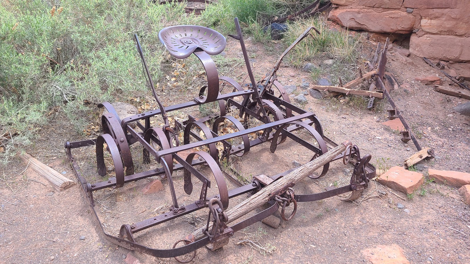 ...with this farming equipment on display outside.
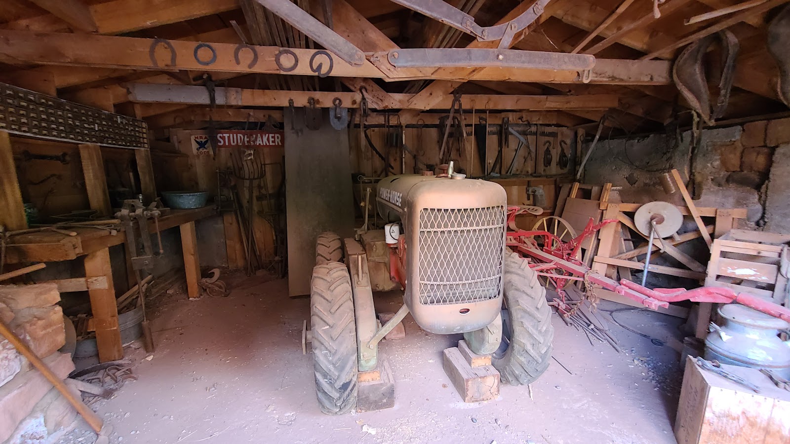 There's lots more to see if you take the time to look inside.
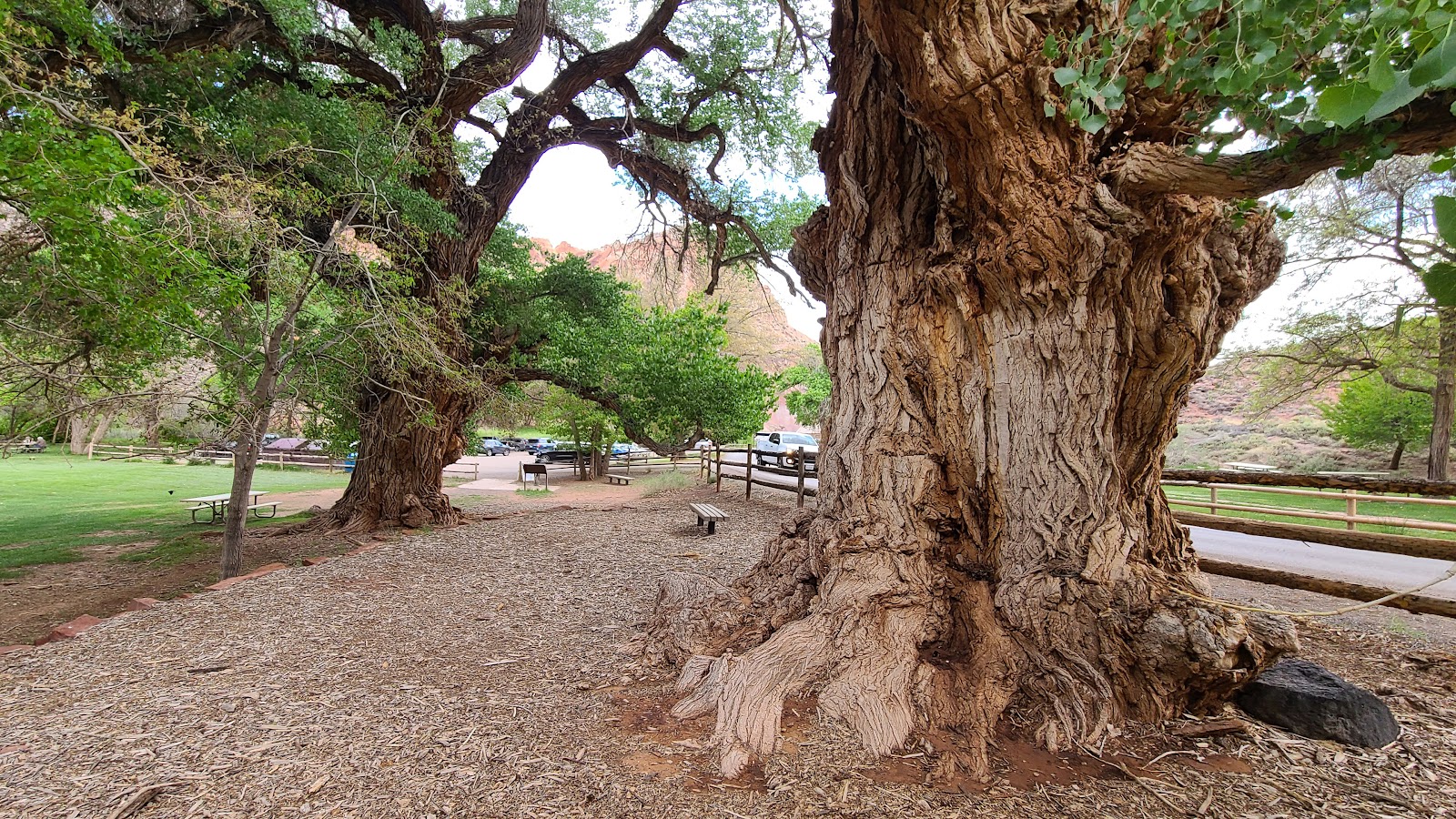 These two 140+ year old cottonwood trees provide shade for the picnicers.
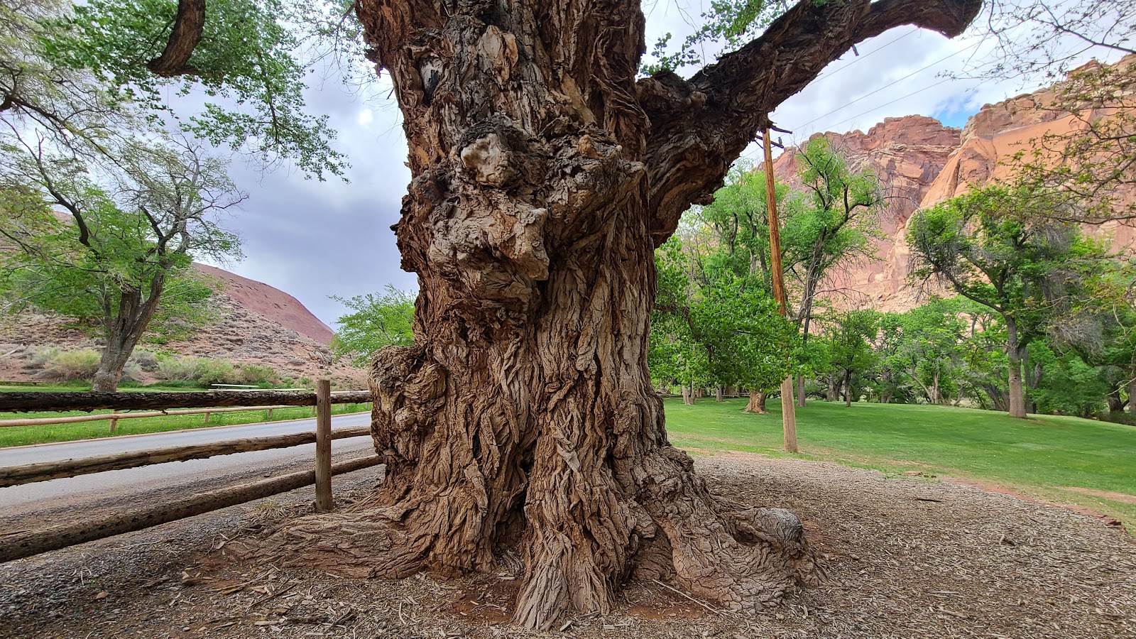 This is called the Mail Tree, because the mail boxes were once located at it's base.
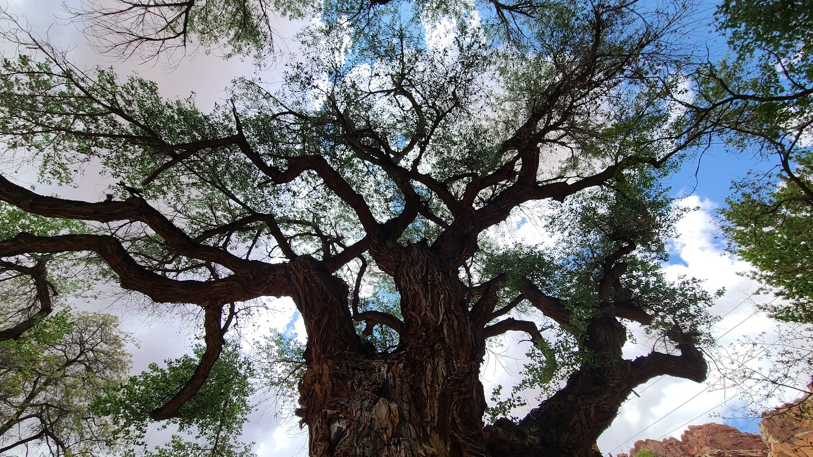 It looks to be in pretty good health for a 140+ year old tree.
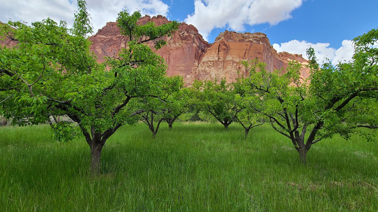 Time to head back through the orchards to the campground.
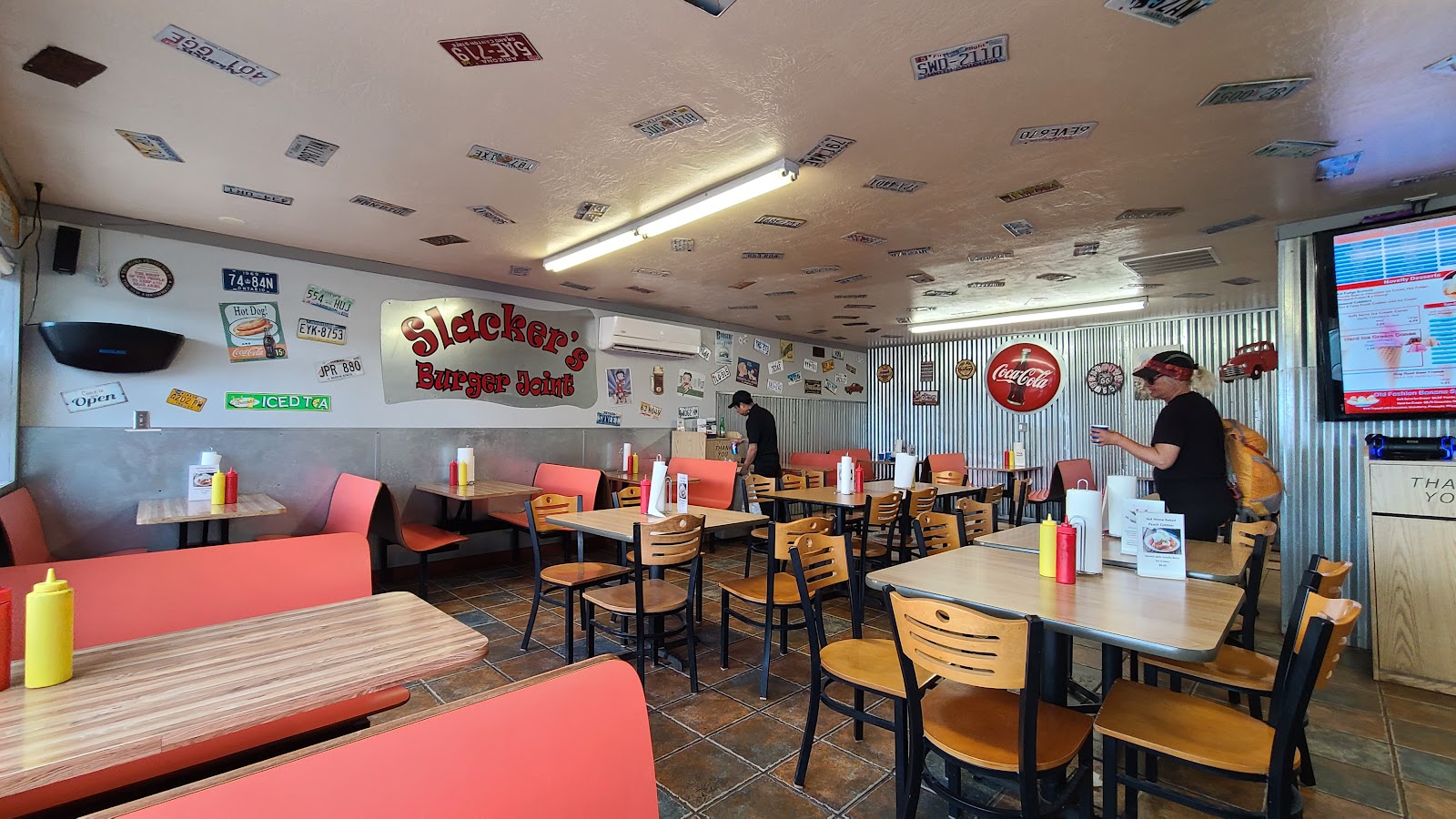
Finally around 3PM the discussion started to center around lunch, or now I suppose it will be considered dinner. We all agreed to drive into Torrey and check out Slacker's Burger Joint.
Three of us each ordered a different kind of burger and Sharon ordered a Fish and Chips meal. I was able to check off another of my "Utah's Must Taste" items from our "Utah Bucket List" by ordering a Pastrami Burger.
It's exactly what it sounds like, a burger with several slices of grilled pastrami on top. I must admit, it was pretty damn good, and different.
Now that we've indulged in a nice, semi-inexpensive meal, it's time to get back to hiking.
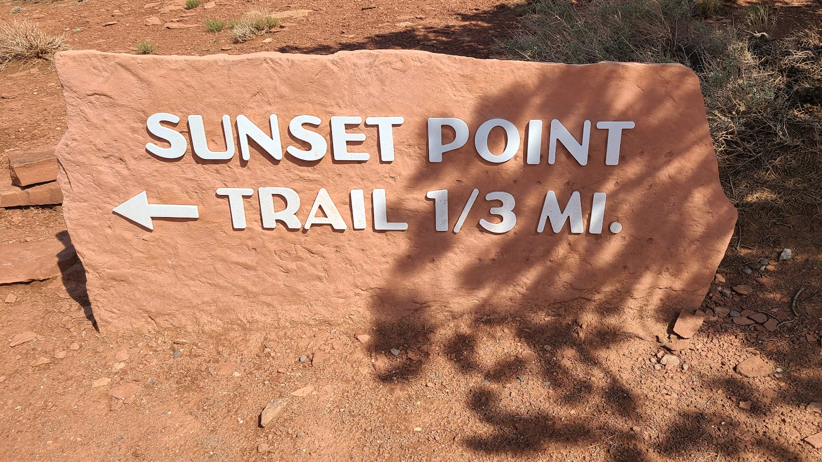
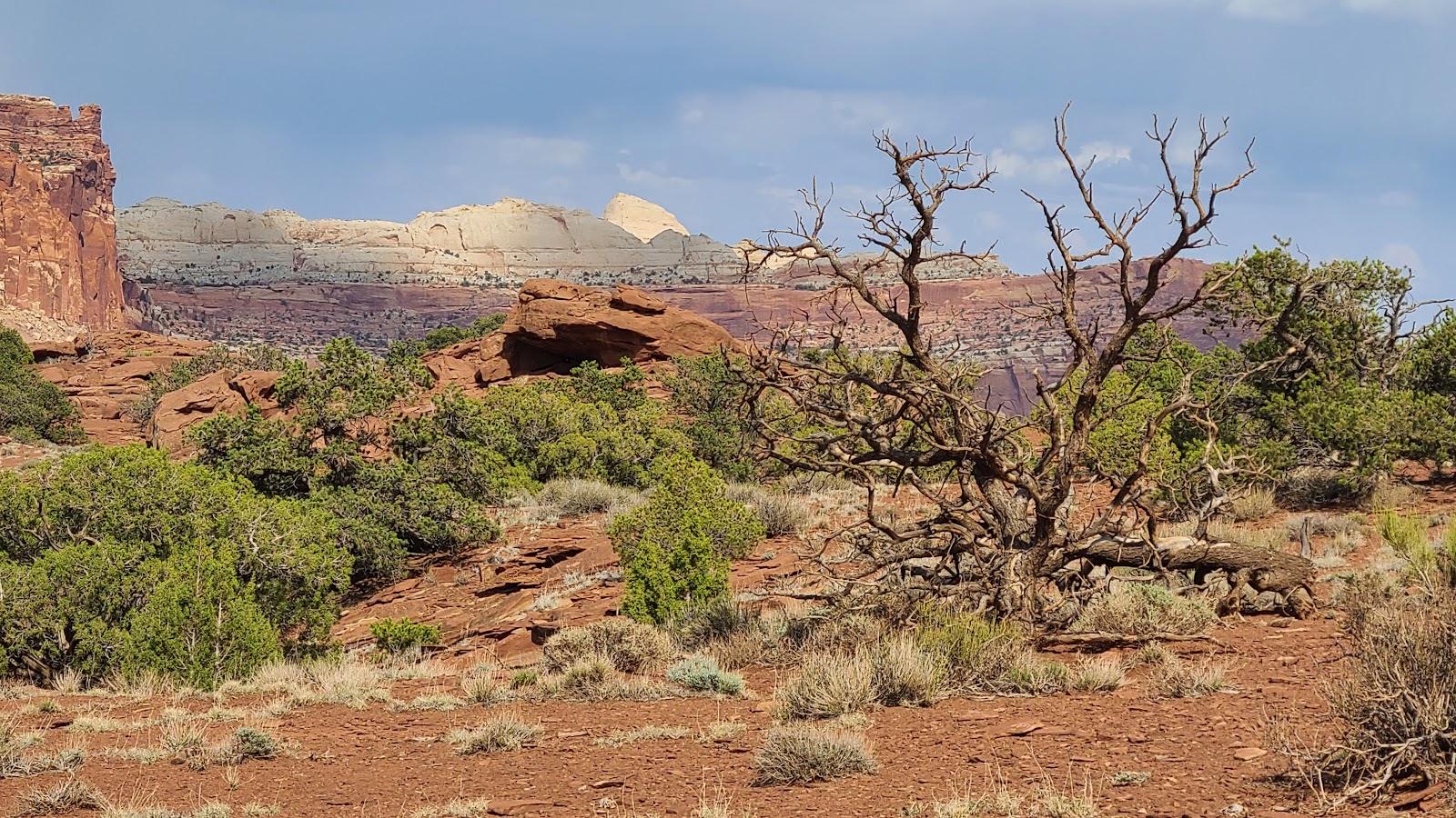
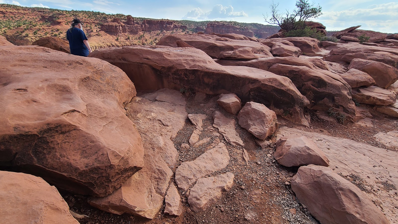
On our way back to the campground we stopped at a turnoff from the main UT-12 highway identified as Panorama Point. Also located along this turnoff are two short hiking trailheads that share a parking lot, the Sunset Point and Goosenecks Overlook Trails.
SUNSET POINT TRAIL
AND
GOOSENECKS OVERLOOK TRAIL
PLUS
PANORAMA POINT
 This short trail had us hiking up to a wonderful overlook.
 The clouds were casting eerie shadows on the mountains.
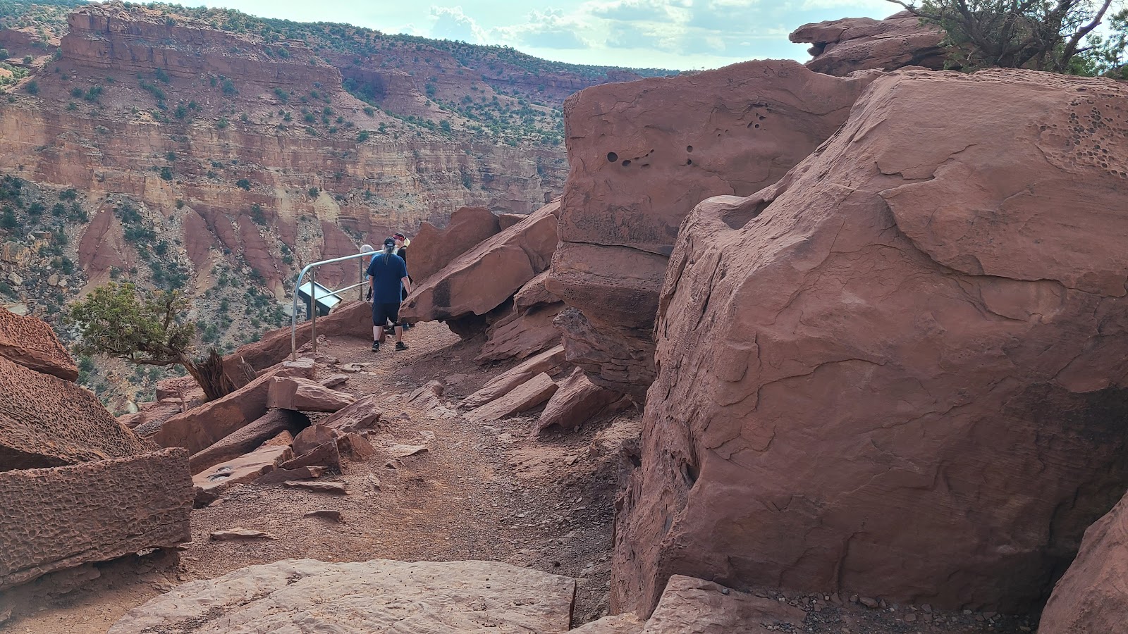
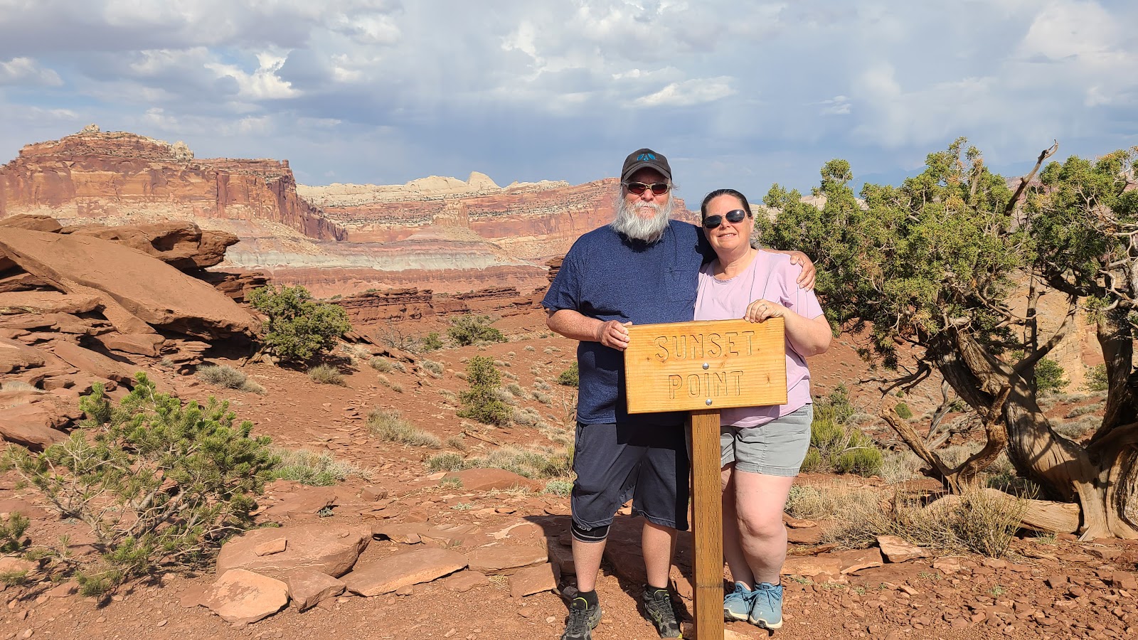 It didn't take us long to reach Sunset Point.
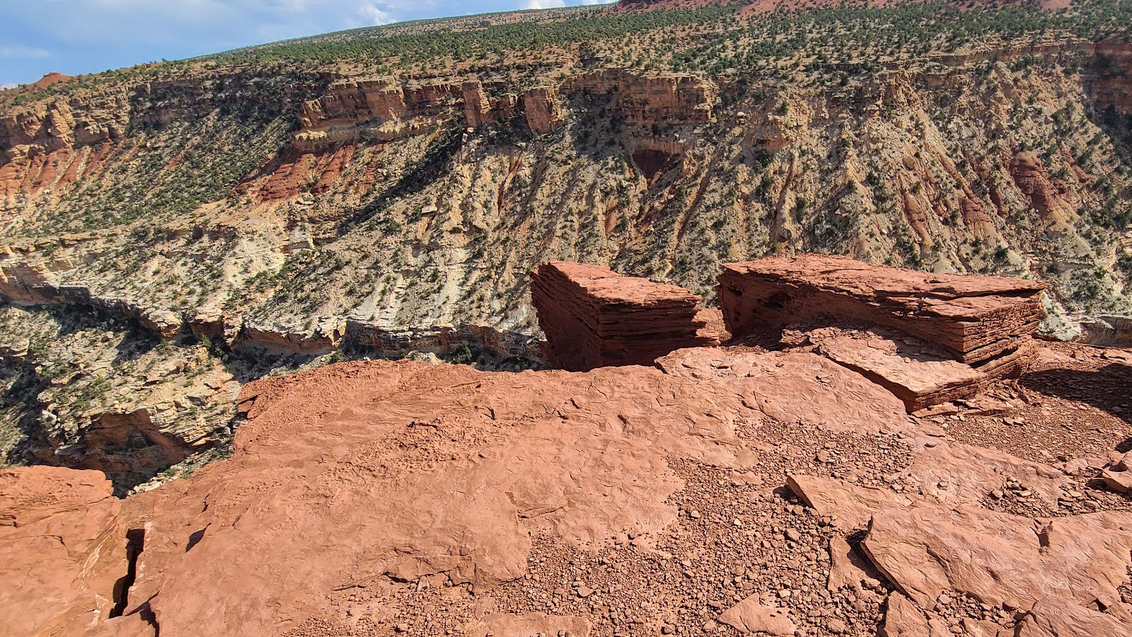 The edges on the point had us looking at 1000' drop offs to the canyon floor.
 The horizon of this photo is perfectly level, it's the mountains that are tilted.
 Another huge dropoff.
 You better be careful which rocks you sit on around here.
 Here's a few more precariously placed seating areas.
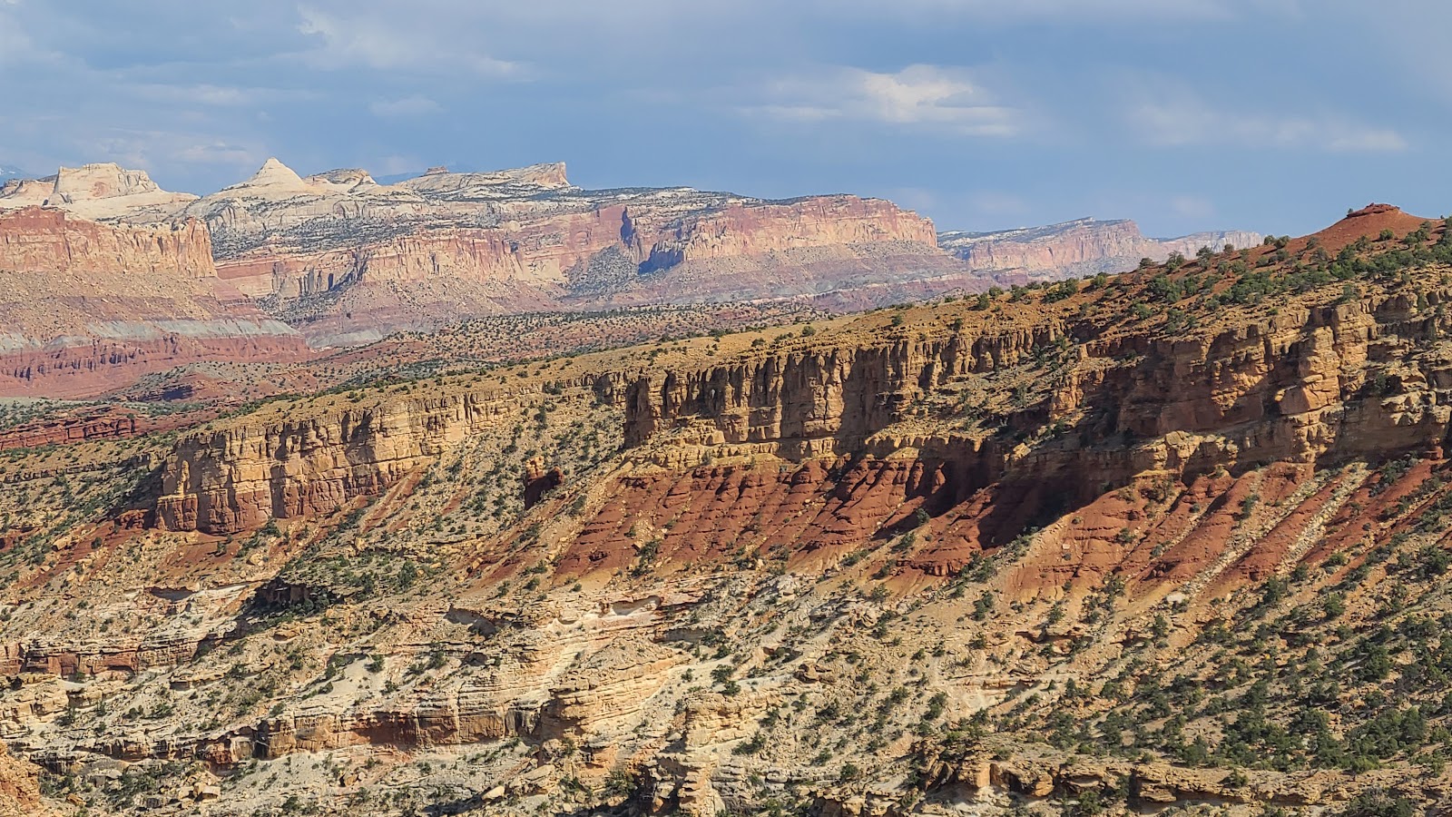
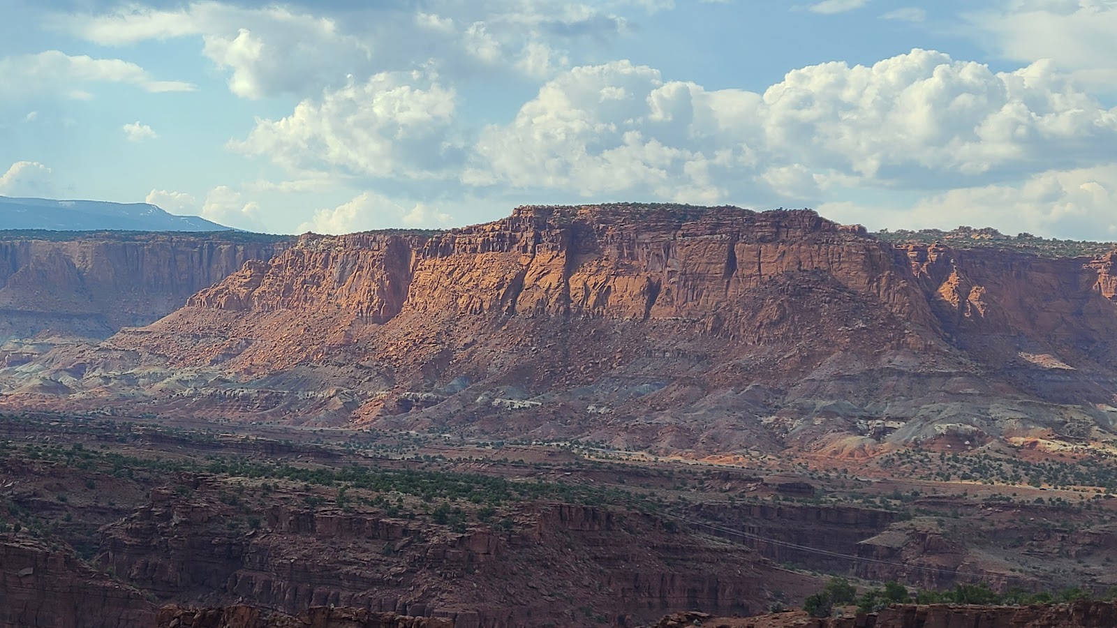
 Clouds are building up are obscuring the distant mountain peaks.
 Looking west it's a whole different looking sky.
 The Goosenecks Trail is even shorter.
 Looks like they cut out this section so people could walk through instead of over.
 I appreciated their efforts.
 Goosenecks Point has a safety railing, but people have obviously walked outside of it.
 The views from Goosenecks Point were outstanding.
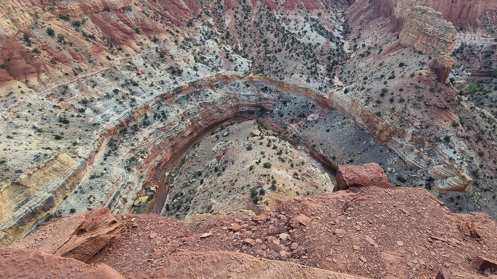 Looking down you can see one of the "goosenecks" of Sulphur Creek.
 There's ROVER obediently awaiting our return.
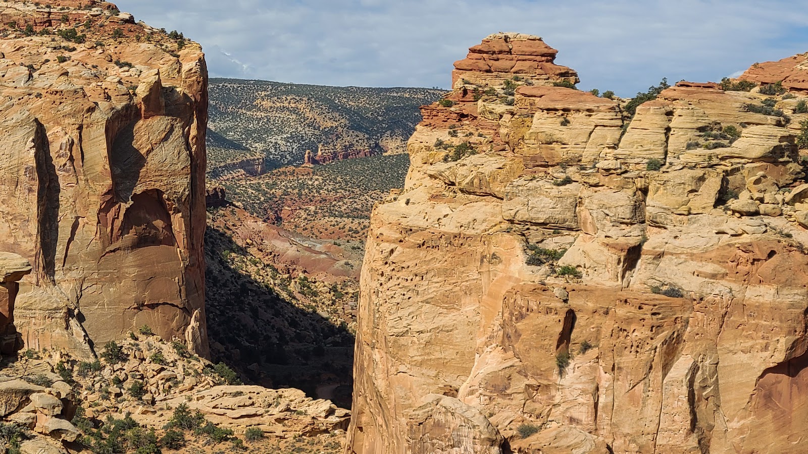
 The road between Goosenecks Point and Panorama Point had a great view of Chimney Rock.
 With the sun setting the rocks take on an entirely differnt appearance.
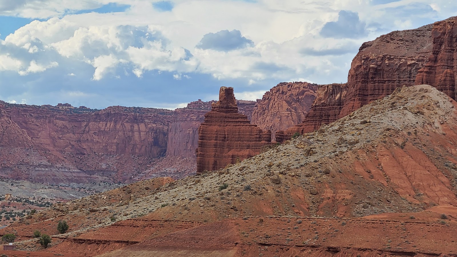 A view of Chimney Rock from Panorama Point.
 Here's a close up.
 More views from Panorama Point.
 Come on! Let's head home and call it a day.
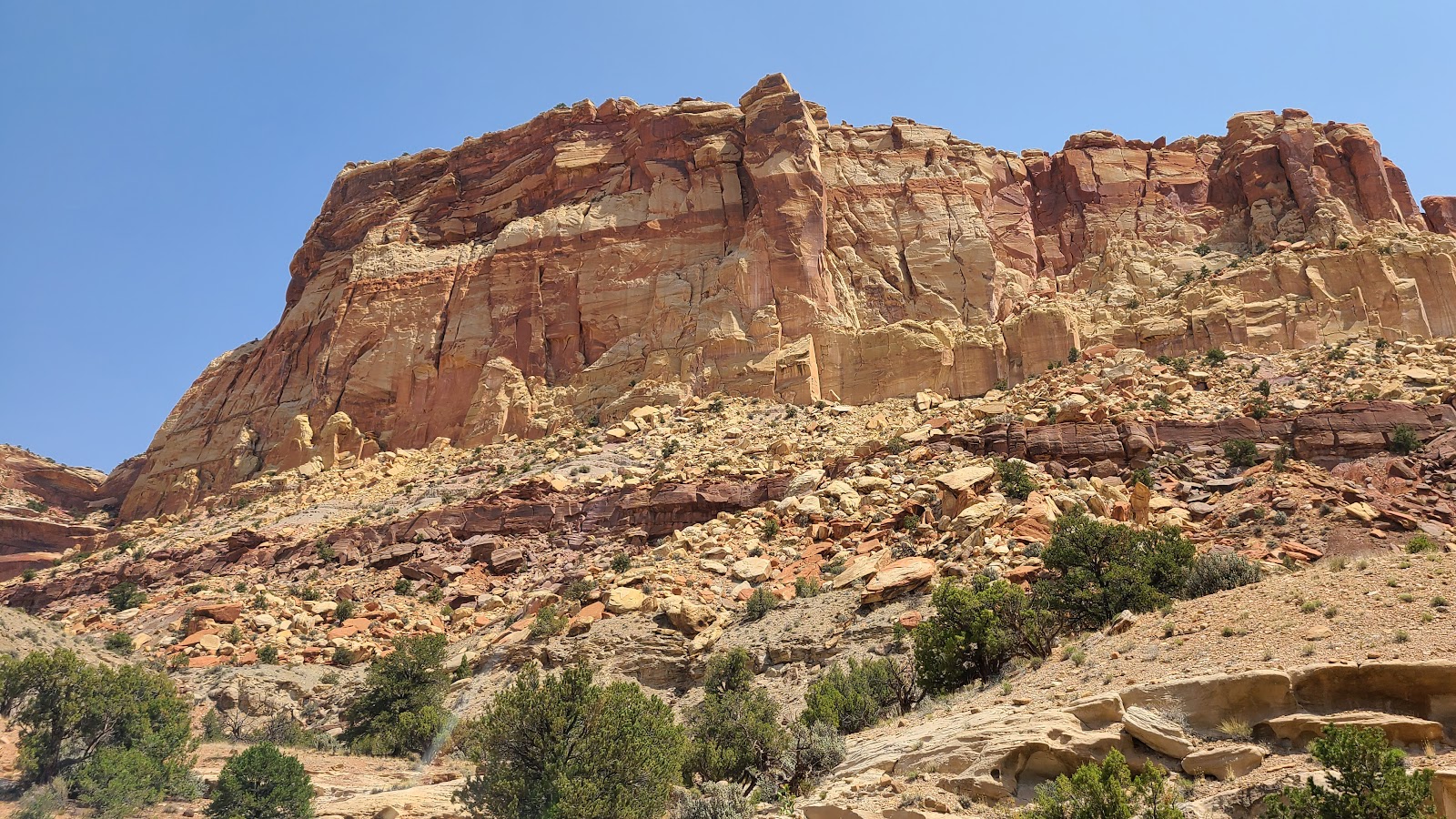
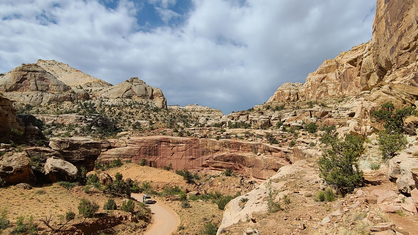
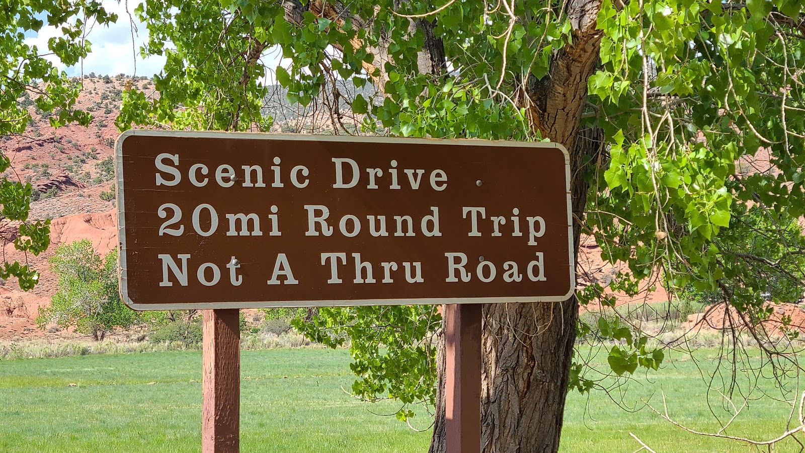
SUNDAY - With today being our last full day in Capitol Reef, it's time we took the 10-mile Scenic Drive into the back country of the park.
We've traveled the road several times, but always in a hurry to get to the hiking trailheads, before the parking lots filled up. Today we're going to stop along the way, take photos and enjoy the drive.
Oh yeah, and we're going to share it all with you.
CAPITOL REEF SCENIC DRIVE
 We usually do the scenic driving the first day, this time it was the last.
 We got an early start and it was still a little bit hazy out.
 Not too much later it cleared up nicely.
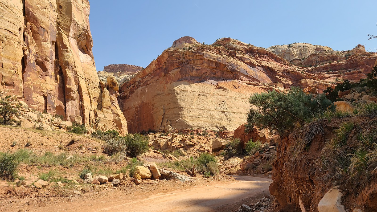
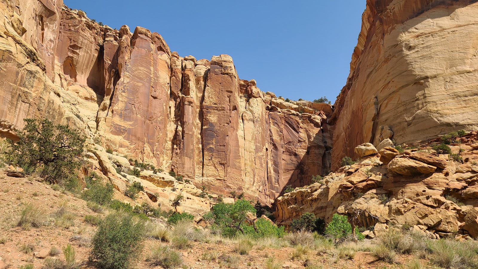
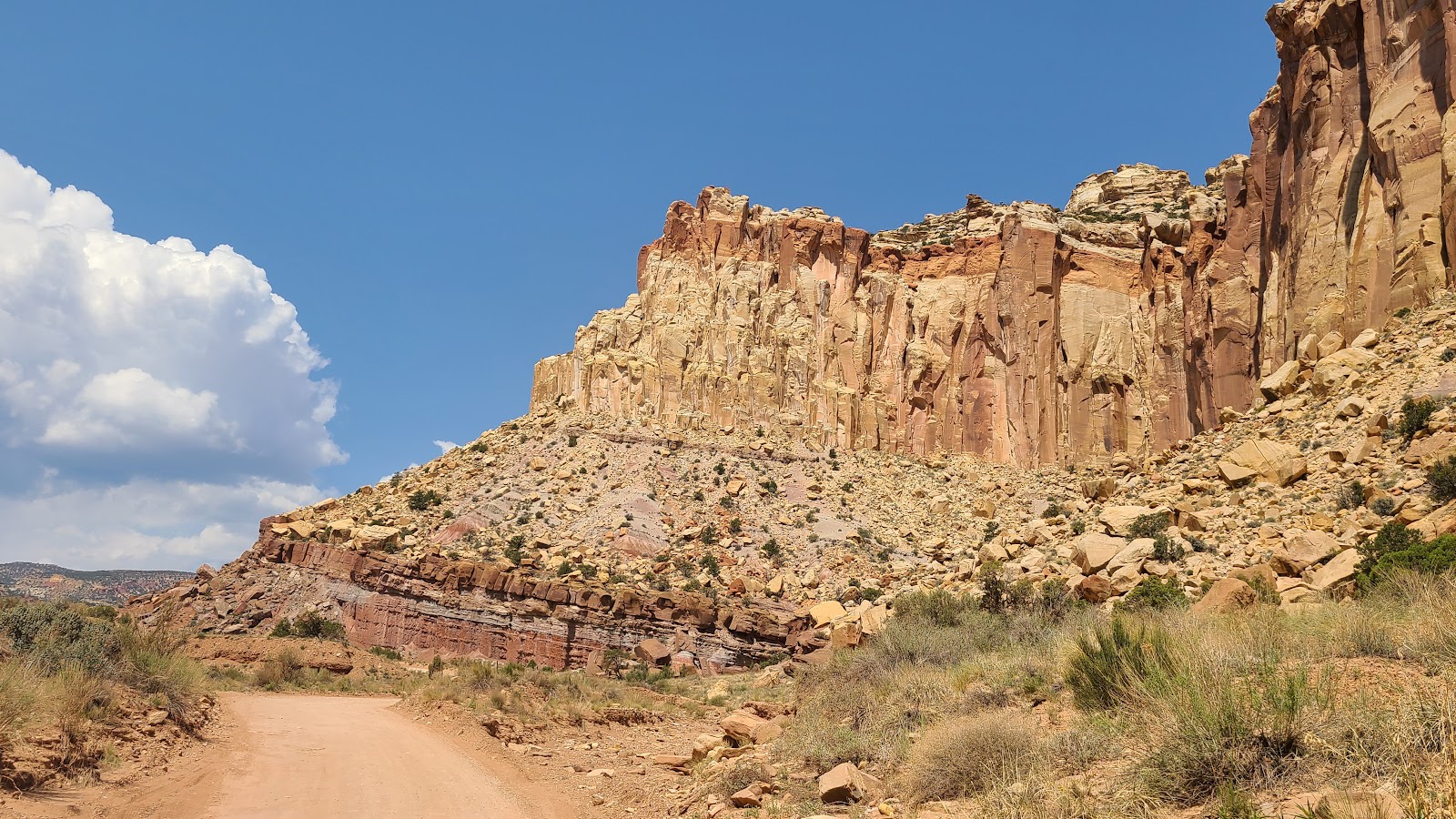
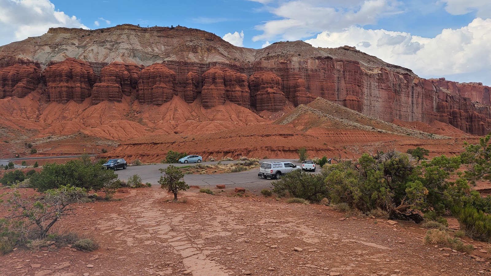
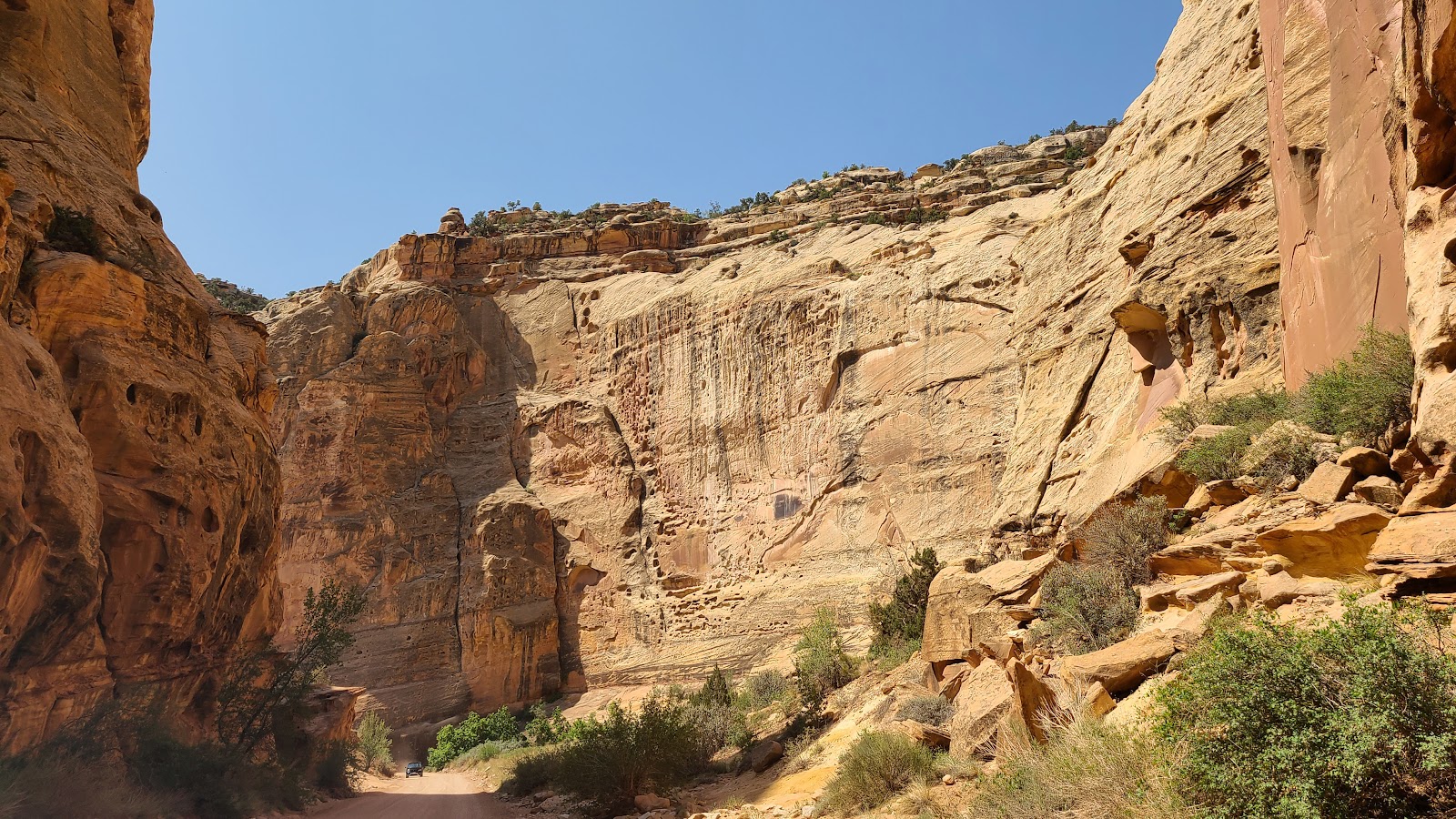
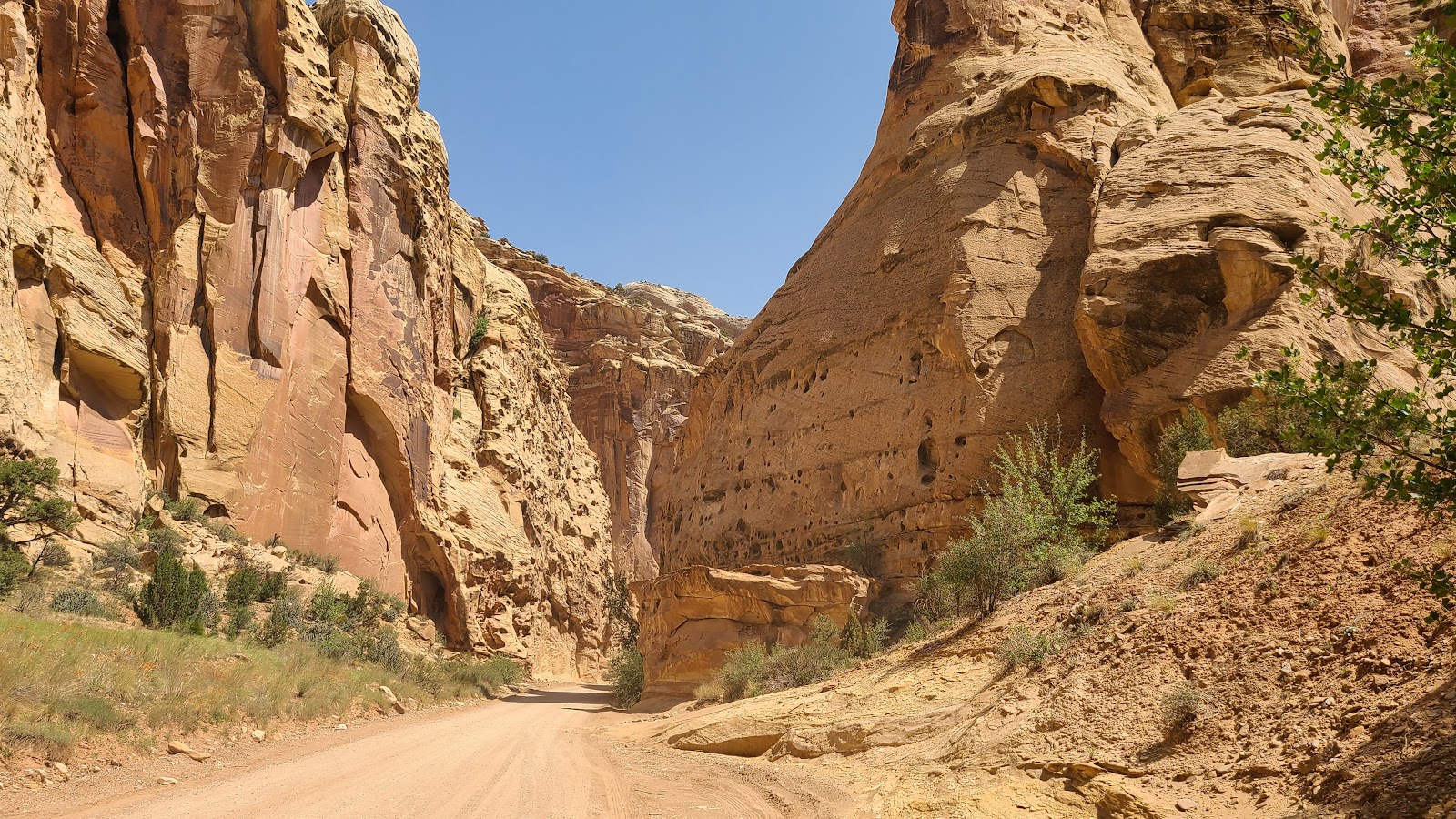
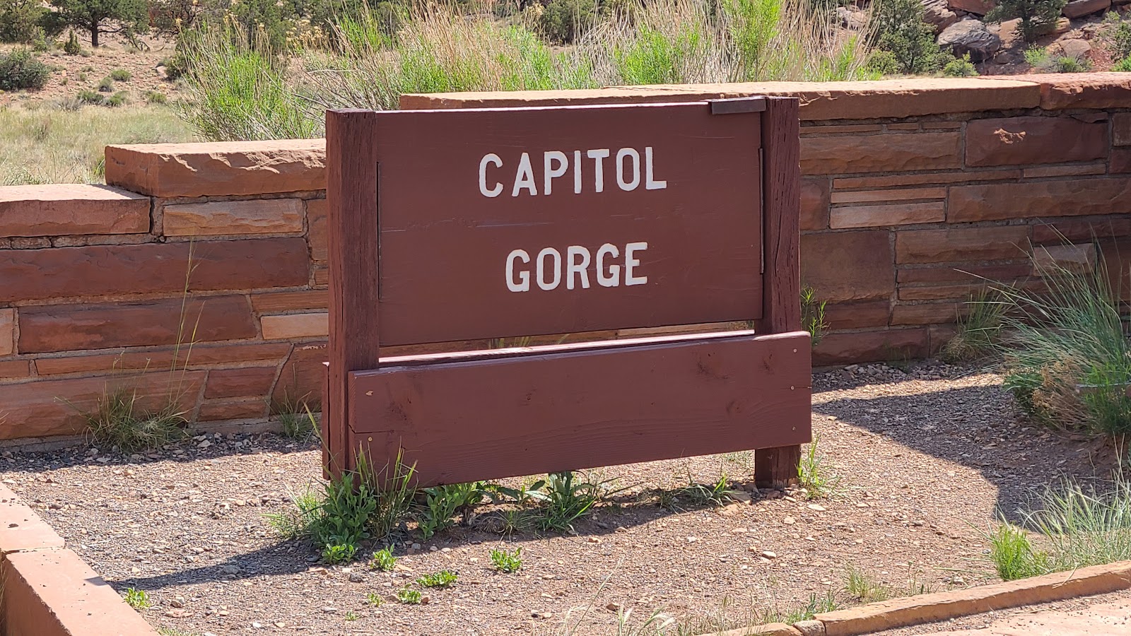 The pavement ends at Capitol Gorge, but the real beauty begins.
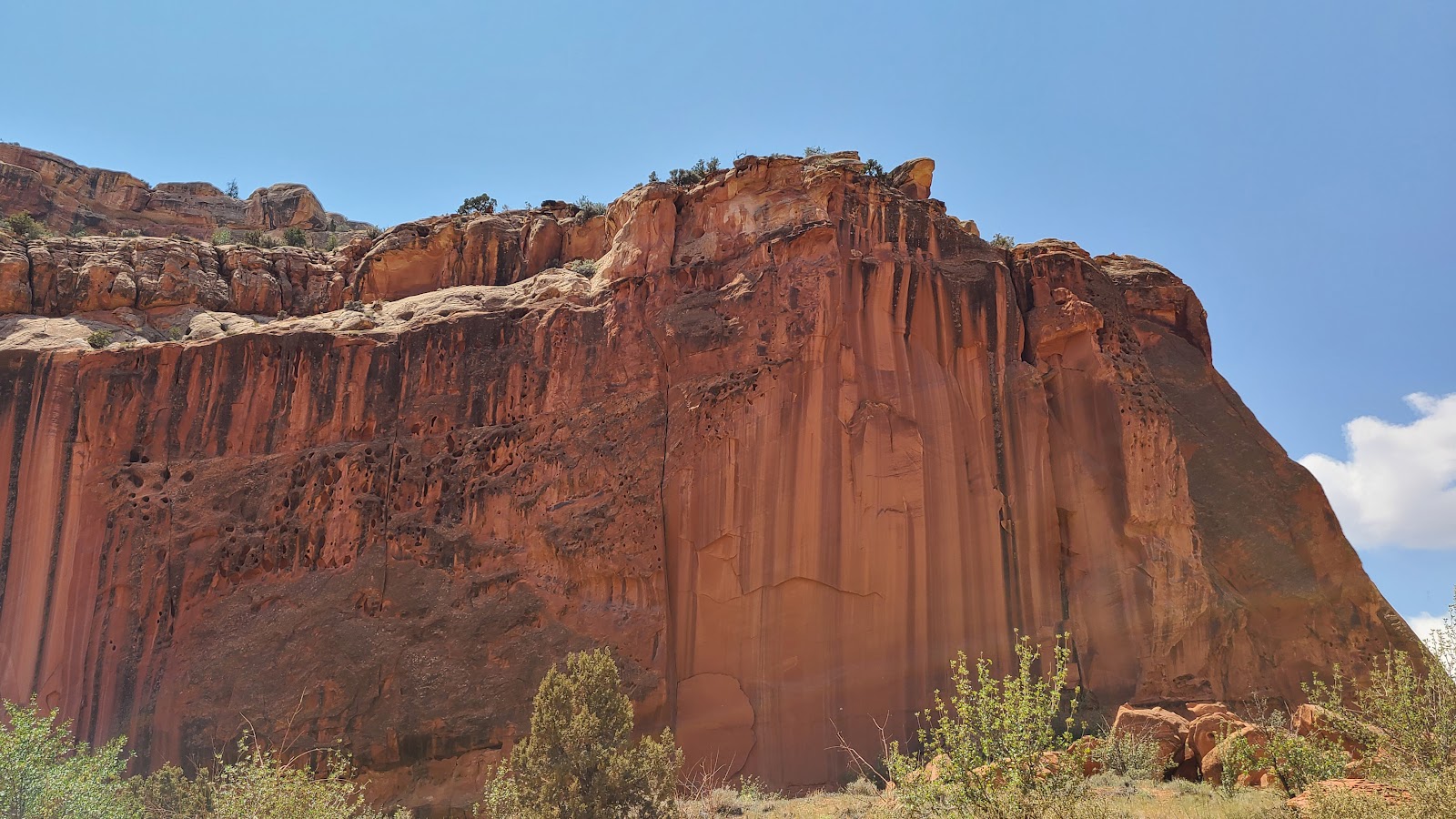
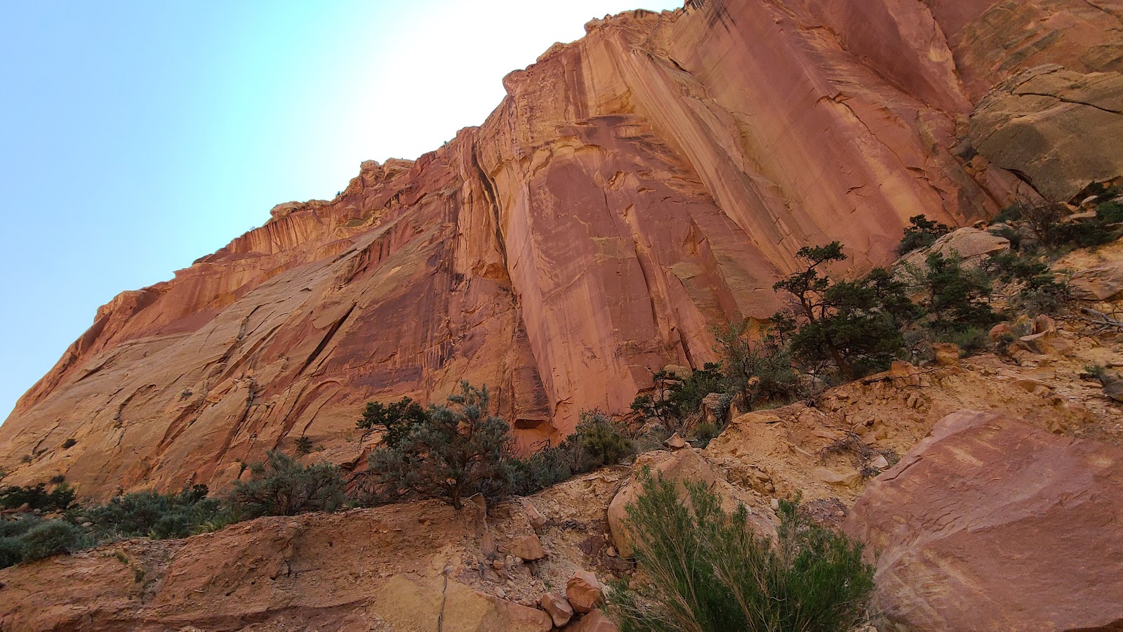 Soon the walls began to close in and create a skinny canyon to drive through.
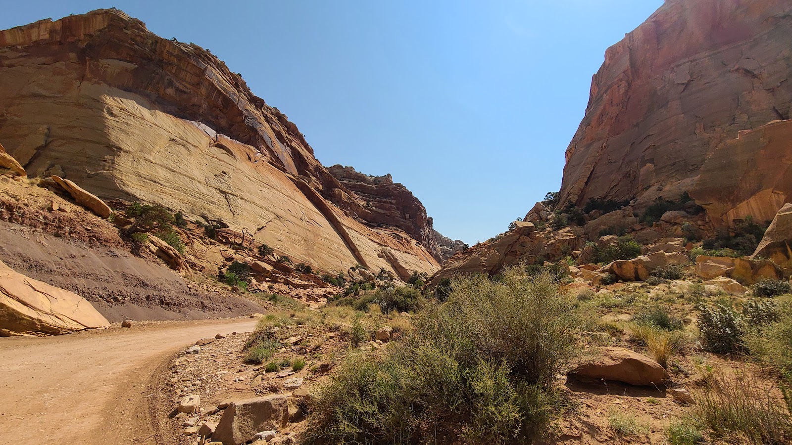
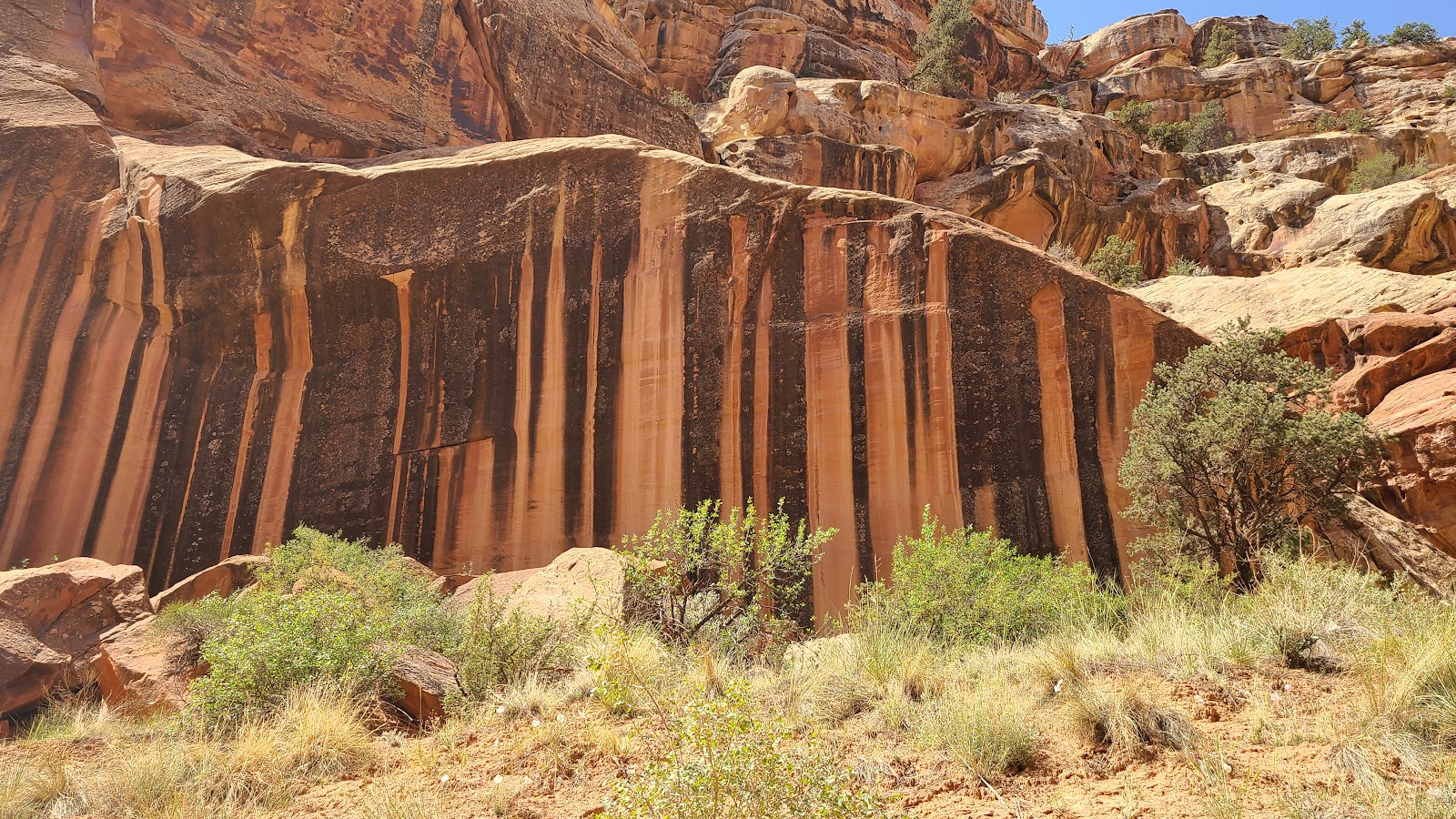 I just love the striping that occurs over time.
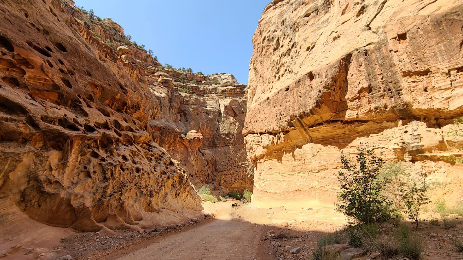 The walls are closing in.
 At the end of this road is where the Gloden Throne trailhead is located.
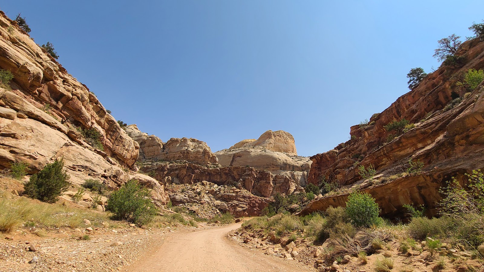 Speaking of the Golden Throne, there it is high up on the mountain.
 Here's where the road ends and the hiking begins.
 Time to turn around and make our way back to the pavement.
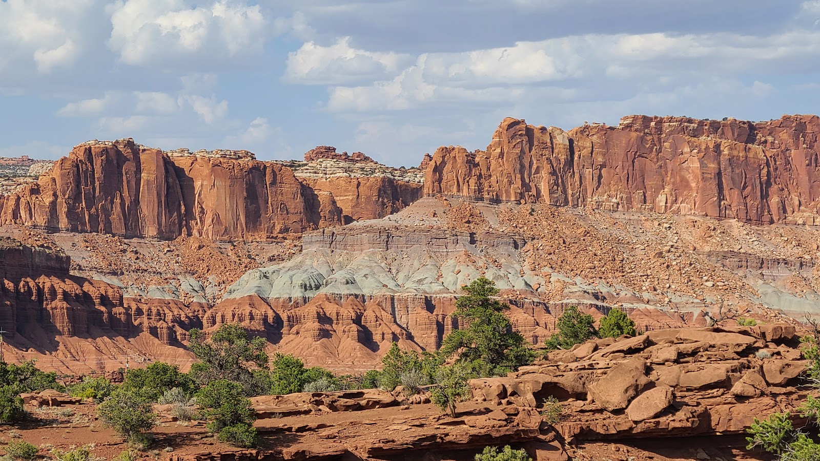
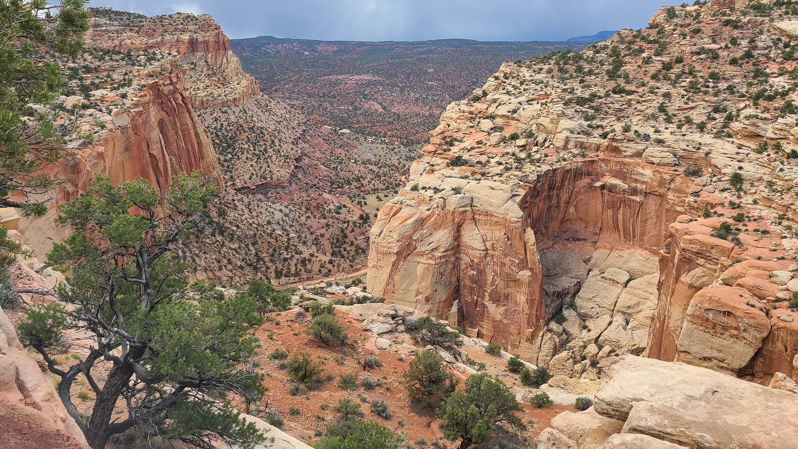
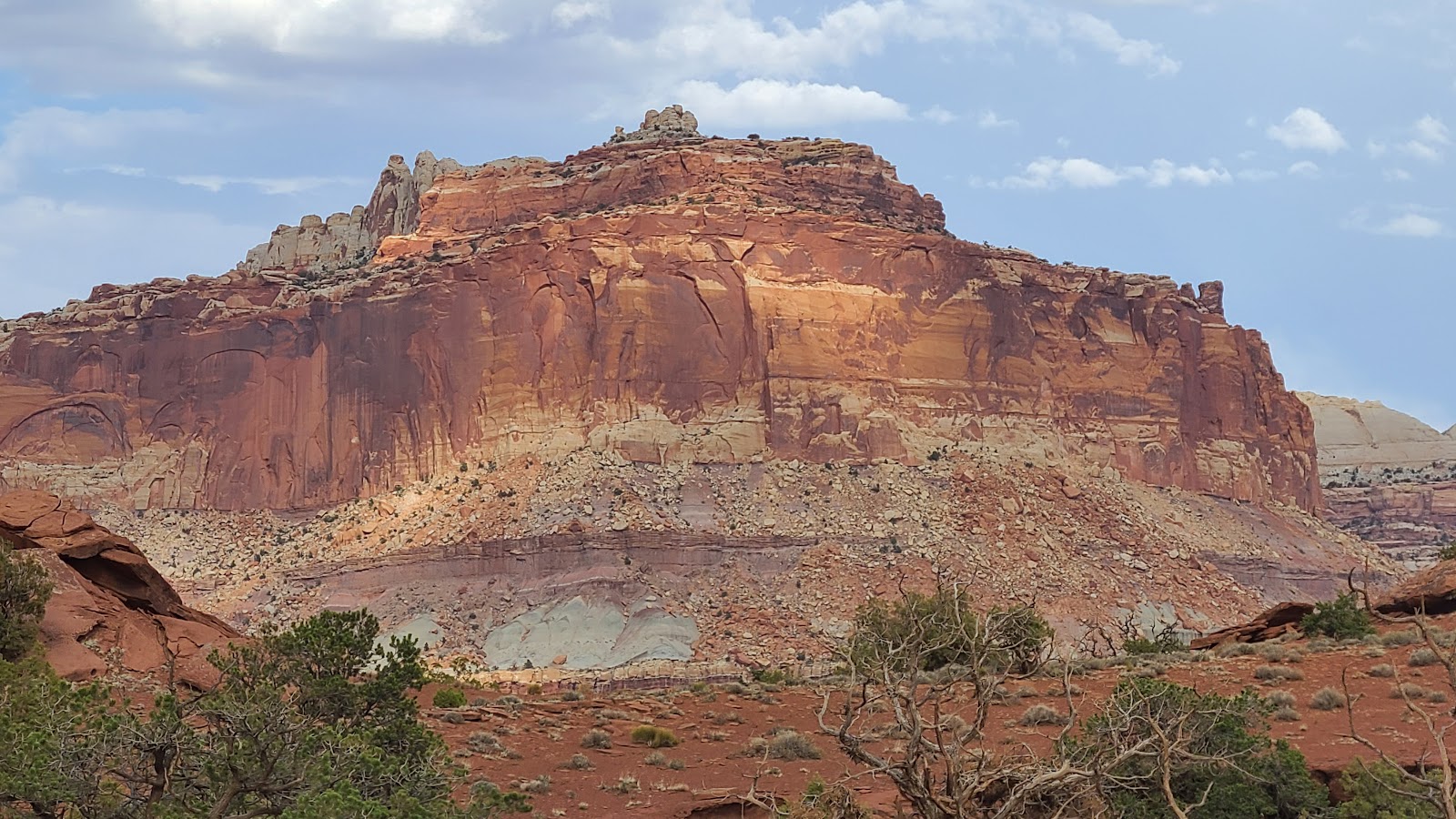
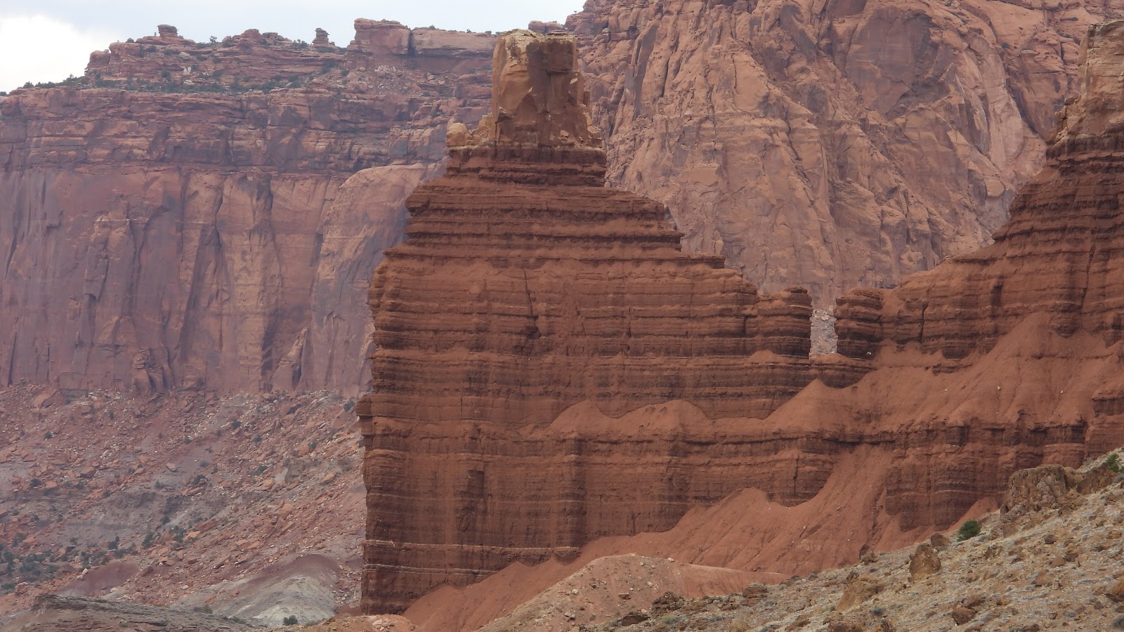
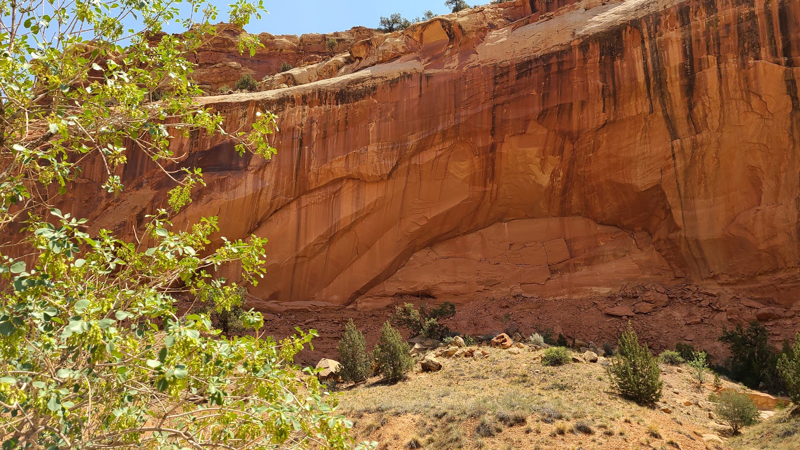
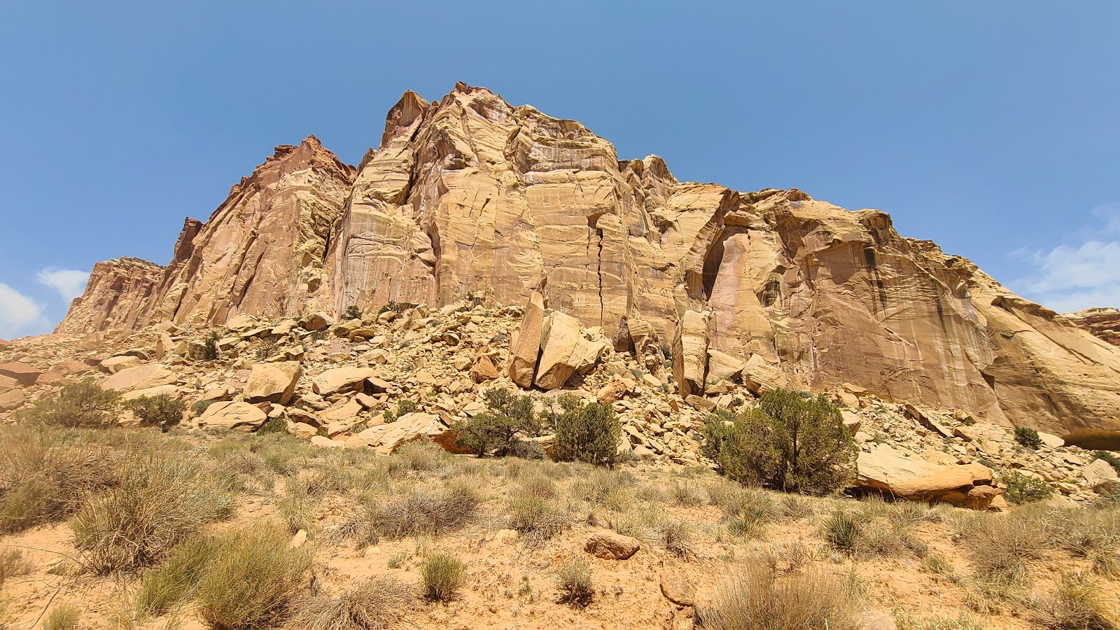
 This photo typifies what Capitol Reef National Park is all about.
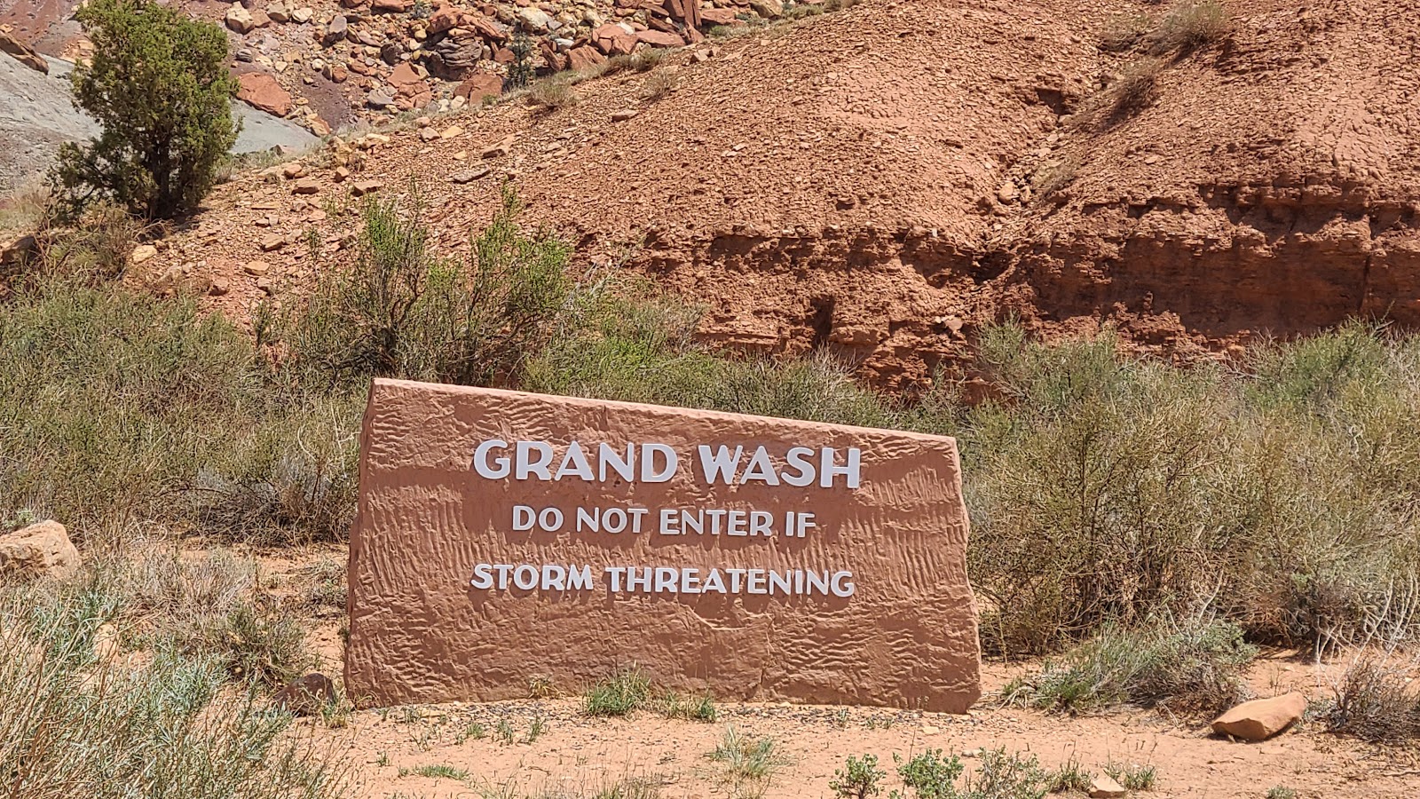 This little side road through Grand Wash was closed until a few days ago.
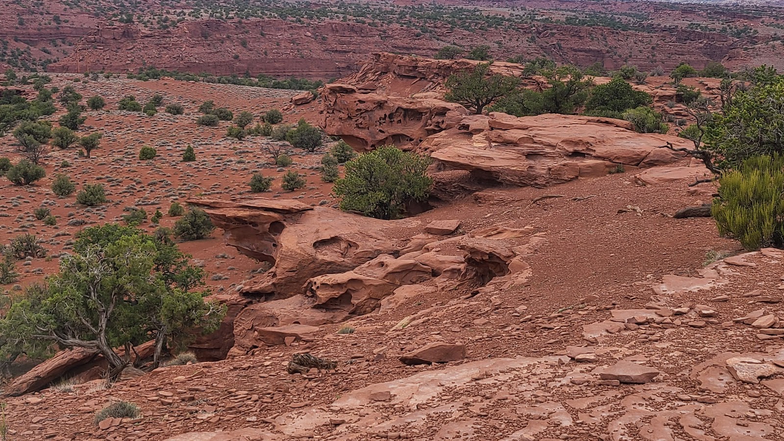
 The beginnings of a new arch. Come back in a thousand years and it'll look the same.
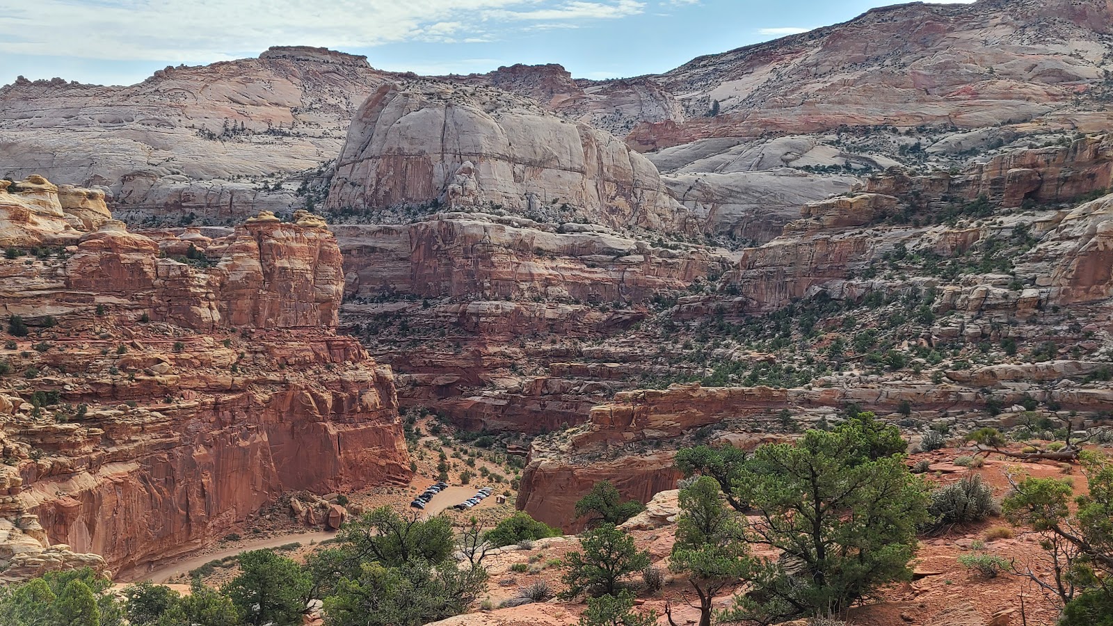
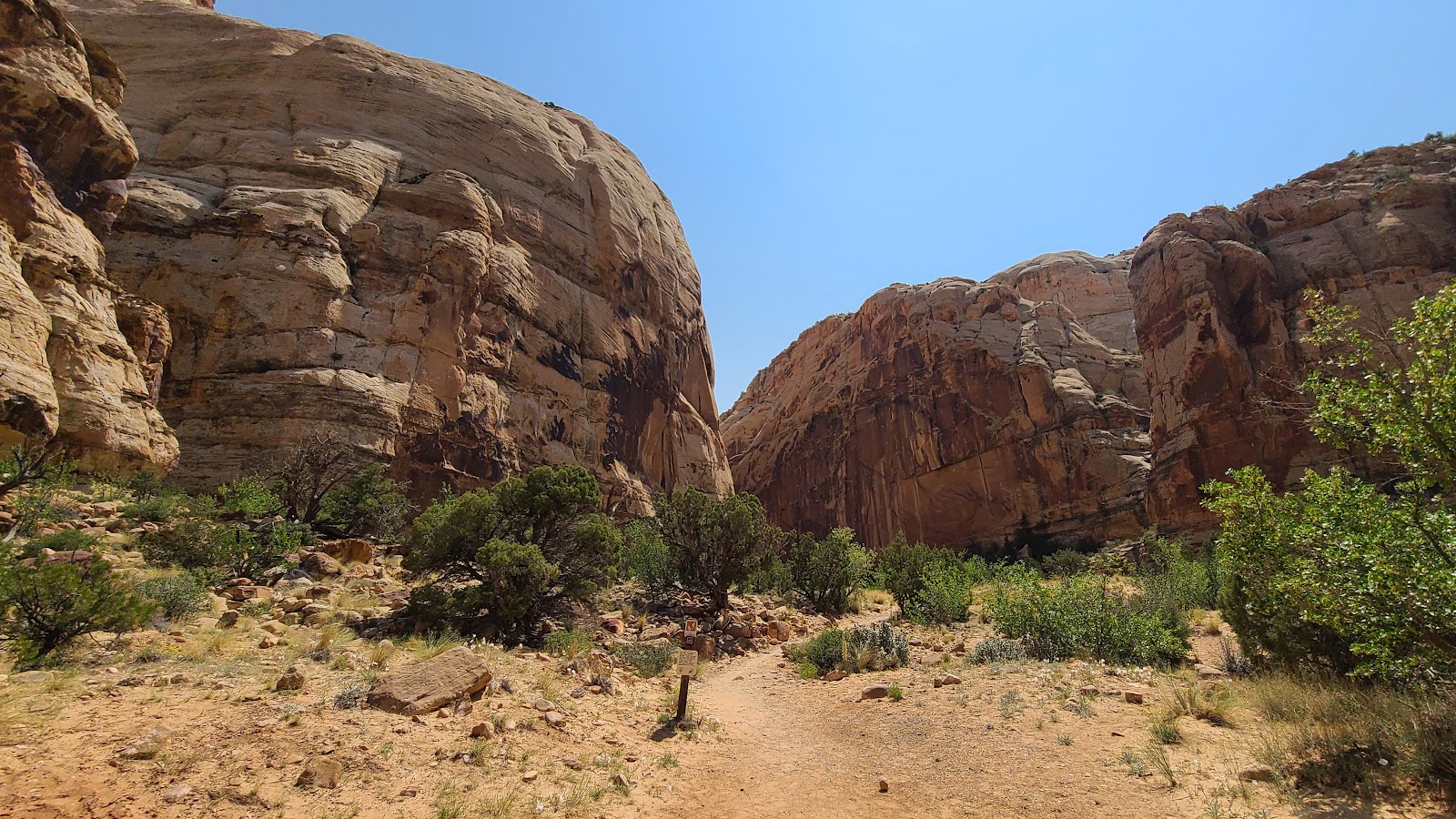
 At the end of the Grand Wash road is the trailhead for Cassidy Arch.
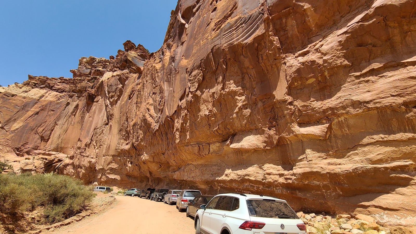 Here is the overflow parking and the parking lot is still a quarter mile away.
 Time to say goodbye to Capitol Reef National Park,
and our friends Rod and Sharon until we meet again.
Would you like to be notified of new blog posts?