
 MONDAY |
TRAVEL DAY |
 |

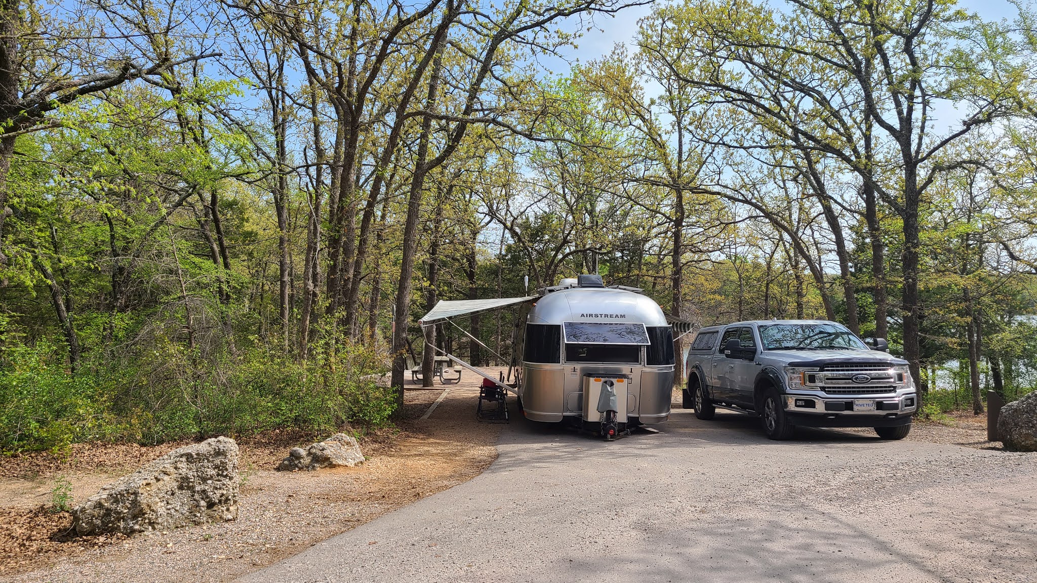
After yet another longer than normal travel day we arrived at the Chickasaw National Recreation Area, specifically the Buckhorn Campground. This is a federally managed property by the National Park Service so our Lifetime Senior Pass gets us half price camping ($11 a night with water & electric), which is always a welcome benefit of being a 62+ year old American citizen.


The recreation area is located completely within the Chickasaw Nation lands which includes about 7,648 square miles of south-central Oklahoma. It is one of five such Indian Nations in the state of Oklahoma that together make up nearly 43% of the entire state.
We are visiting just a small portion of area, but what a beautiful section it is. Our campsite does not have adequate cell phone signal, even with the booster on, so each day we pack up our computers, a snack and a drink, and head two miles further into the park to the picnic area and boat ramp on Lake of the Arbuckles.
Tricia sets up her little office, with the big view, underneath a pavillion and comfortably works for about four hours each day, leaving us plenty of time to enjoy the surroundings.


On our way into town we saw a small parking area and a sign reading Bison Viewpoint, that got our attention! We pulled over, but didn't see any bison in the large fenced in area in front of us. We looked on a park brochure we picked up earlier and found there was a 2.9 mile path that goes completely around the bison habitat.

Next up is a short hike to a couple of fresh water springs. Antelope Springs and Buffalo Springs combine to generate nearly 5 millions gallons of fresh water daily which creates Travertine Creek. This creek flows directly under the nature center building which in turn flows over a rock ledge known as Little Niagara.


For the first time in over a year we are searching for a geocache. This one is hidden just off the path that goes around Veterans Lake here in the National Recreation Area.
When we first started traveling one goal I had was to find one, and only one, geocache in every state. So far we have visited 29 states and now after today we have located 29 geocaches, one in each state.


Geocaching is just one of the activities we do
to get us out of THE POD and enjoying our surroundings.
Would like to be notified of new blog posts?

 |
We encourage everyone |
Until next time
