


Arriving here at Willow River State Park in Wisconsin will be our sixth straight visit to State Park campgrounds. It only makes sense, because over the last six years that's where we've spent 42.3% of our nights.
I'm warning you in advance, that average is likely to go up a little bit more by the time this summer is over.


At least today there was a wide shoulder on the side of the road for them to use, sometimes there's not, and it makes it a whole lot more interesting when it comes time to pass each other.


Not too much later we were checking in at the Willow River State Park entrance gate, where we purchased another Annual Entrance Pass, this time for Wisconsin State Parks. For out-of-state residents, such as ourselves, you can either pay $13 a day or purchase an annual pass for $38.
Even though this will be our only Wisconsin State Park visit this year, since we're here for 4-nights, it was pretty much a no brainer to purchase the annual pass.
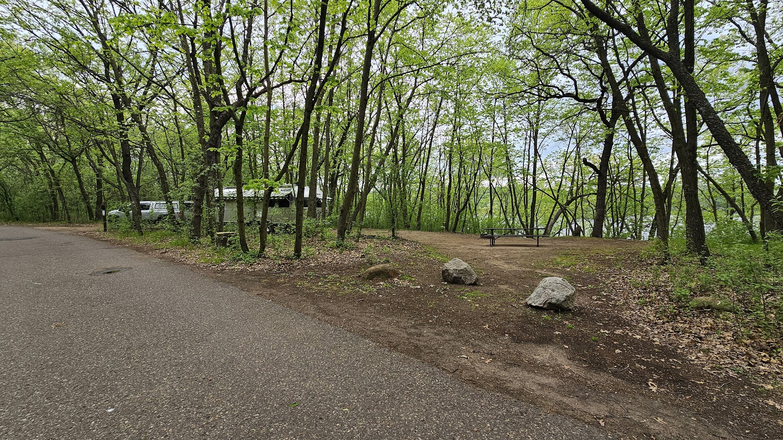

and we were still well off the road, even with ROVER disconnected and out front.


LITTLE FALLS TRAIL
|
||||||||
 All around Little Falls Lake you'll find benches from which to sit and watch the sunset.
|
||||||||
 There's a boat ramp from which to lauch your paddlecraft, no motors allowed.
|
||||||||
 There's also a nice community firepit in the day use area.
|
||||||||
 The water fowl population in the lake seems to be expanding.
|
||||||||
 We had perfectly clear skies for today's sunrise.
|
||||||||
 The early morning sunlight cast a beautiful glow over the picnic area.
|
||||||||
 If you need a break from the sun there's a huge pavilion where you can grab some shade.
|
||||||||
 Looking for some early morning fishing? Then this is your spot!
|
||||||||
 This spider appears to be all set up with their own style of fishing.
|
||||||||
 This dam is what creates Little Falls Lake, otherwise it would just be a river.
|
||||||||
 The dam also does the job of flood control for the communities downstream.
|
||||||||
 Downstream of the dam the water levels are kept low and steady.
|
|

There was an interesting storyline in the park brochure about the dam you saw in the slideshow.
The original dam that created Little Falls Lake was constructed out of local timbers in the mid-1800s. This early dam was used as a grist mill until 1920.
In 1920 a new dam was constructed by the Willow River Power Company and was used for hydroelectic power until the 1960s when the property was sold to the State of Wisconsin to become the new Willow River State Park. The dam was left in place so the public would have use of Little Falls Lake for recreational activities, it is one of only a few lakes in the state that doesn't allow motorized boats.
Then in 2014 when the nearly 100-year old dam was being inspected, concerns arose about whether the dam could withstand the projected flows of a 100 and 1000 year flood. It was determied that the lake should be emptied for the safety of the downstream residents in the event of a flood.
In the summer of 2018 the water was diverted and the 1920 dam was completely removed so construction of a new dam could be started. It took nearly two years to complete the dam you saw in the photos, but before the water was allowed back into the area the park staff took the once in a lifetime opportunity to remove much of the lake sediment. Then fish cribs and boulders were installed on the dry lake bed to create fish habitats for when the water returned.
After slowly refilling the impoundment, Little Falls Lake was finally back to it's previous level, only this time better than ever before. Over the next year the park began the process of stocking the lake with fish and reconstructing the shoreline.
let's go see where all this water comes from.
WILLOW FALLS TRAIL

|
||||||||
 Shortly after 10:00AM we both set out on this easy to follow trail to the falls.
|
||||||||
 The further we walked the more dense the trees became and the water became shallower.
|
||||||||
 First we could hear the falls, then around this corner they came into view.
|
||||||||
 The closer we got the louder the falls became.
|
||||||||
 This is the highlight of Willow River State Park.
|
||||||||
 Yes, there was a guy on his phone sitting on the midstream rocks at the top.
|
||||||||
 Using this sturdy bridge you can access the other side of the Willow River.
|
||||||||
 The view upstream from the center of the bridge.
|
||||||||
 On the other side was a trail that led down to the waters edge.
|
||||||||
 That's where this photo of the bridge was taken from.
|
||||||||
 From this low angle you can't see the guy up there sitting on the rock.
|
||||||||
 Stunning!
|
||||||||
 The view downstream from the center of the bridge.
|
||||||||
 One mile to go to get back to THE POD.
|
||||||||
 Hey, we didn't see him sitting there earlier on the way up to the falls.
|
|

Would you like to be notified of new blog posts?

