
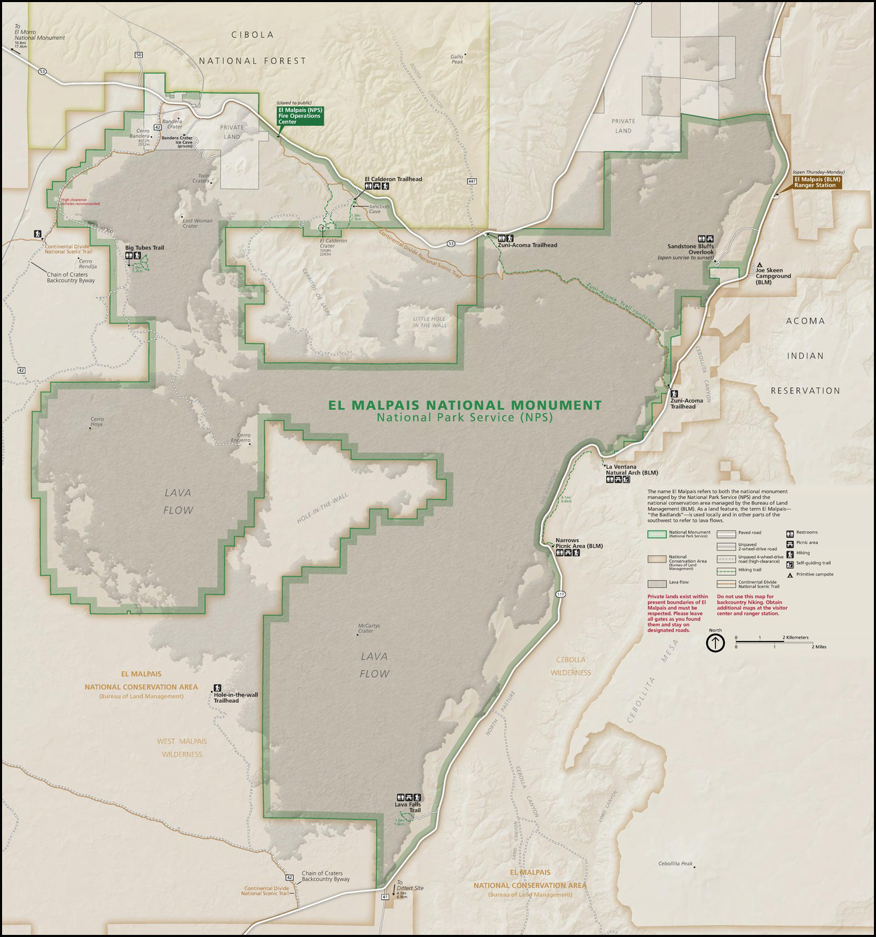
This section of road is the eastern boundary of the El Mapais National Monument (part of the National Park Service) and is surrounded by the El Mapais National Conservation Area (part of the BLM) on the east/south/west and by the Cibola National Forest (part of the USFS) on the north.
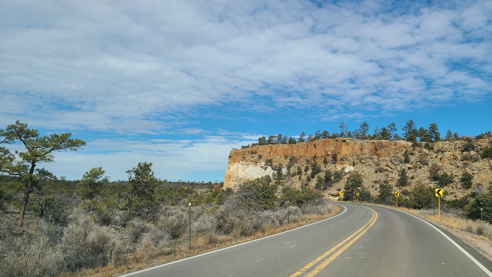
It is along this section of road you'll pass through an area known as The Narrows, it is also where you'll find the La Ventana Arch and a ¼-mile hiking trail leading to just below it.
THE NARROWS AND THE LA VENTANA ARCH
|
||||||||
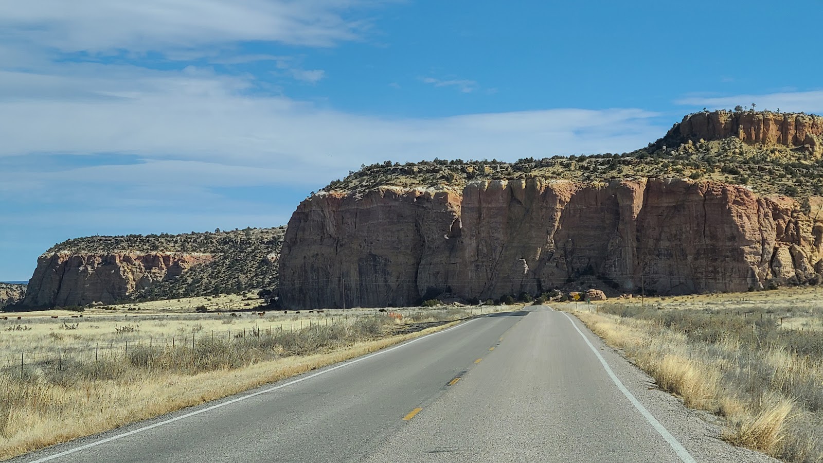
 We must have pulled off the road three or four times to photograph this rock formation.
|
||||||||
 Little did we know the road would eventually take us right up to it.
|
||||||||
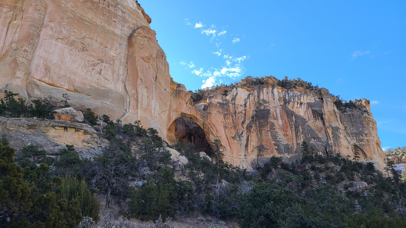
 This is all a part of the area known as The Narrows.
|
||||||||
 It's actually located in the El Mapais National Conservation Area of the BLM.
|
||||||||
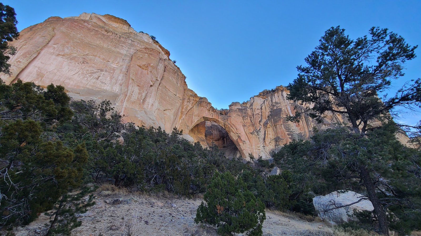 So is the stunning La Ventana Arch.
|
||||||||
 We decided to leave ROVER and THE POD in the parking lot and hike up for a closer look.
|
||||||||
 From this vantage point you can begin to see it is truly an arch and not just a cave.
|
||||||||
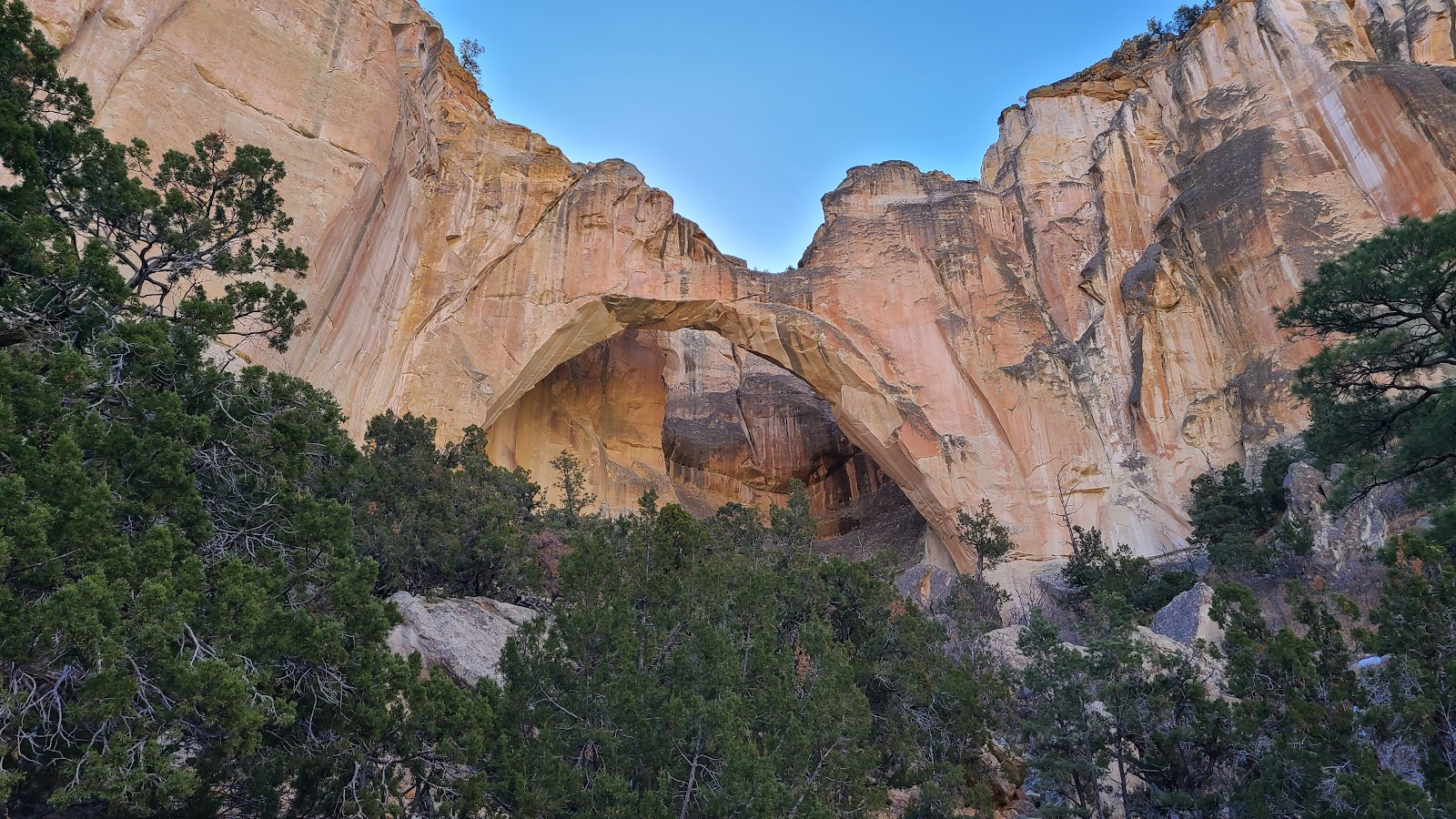
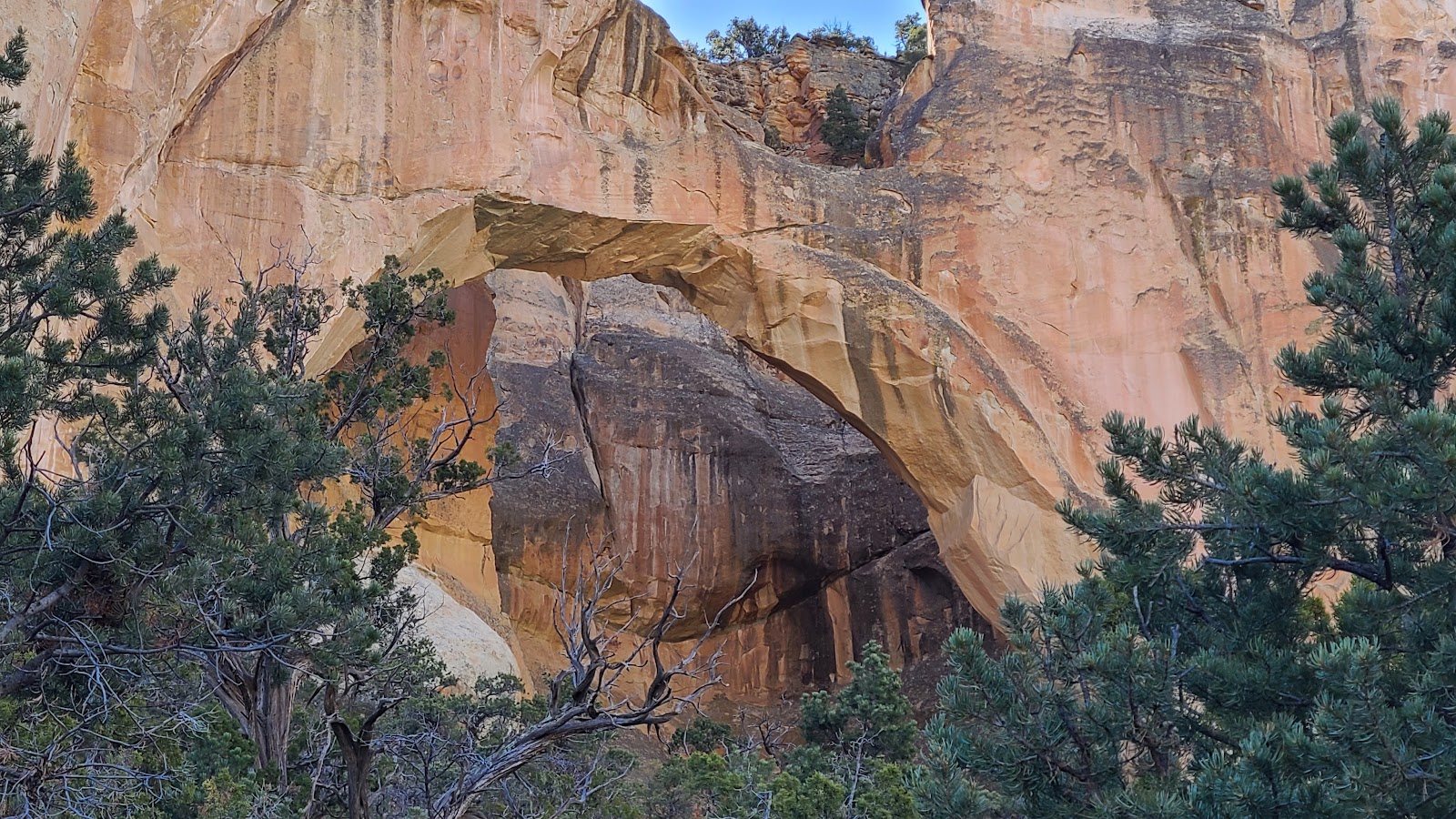 This is as close as you can get...
|
||||||||
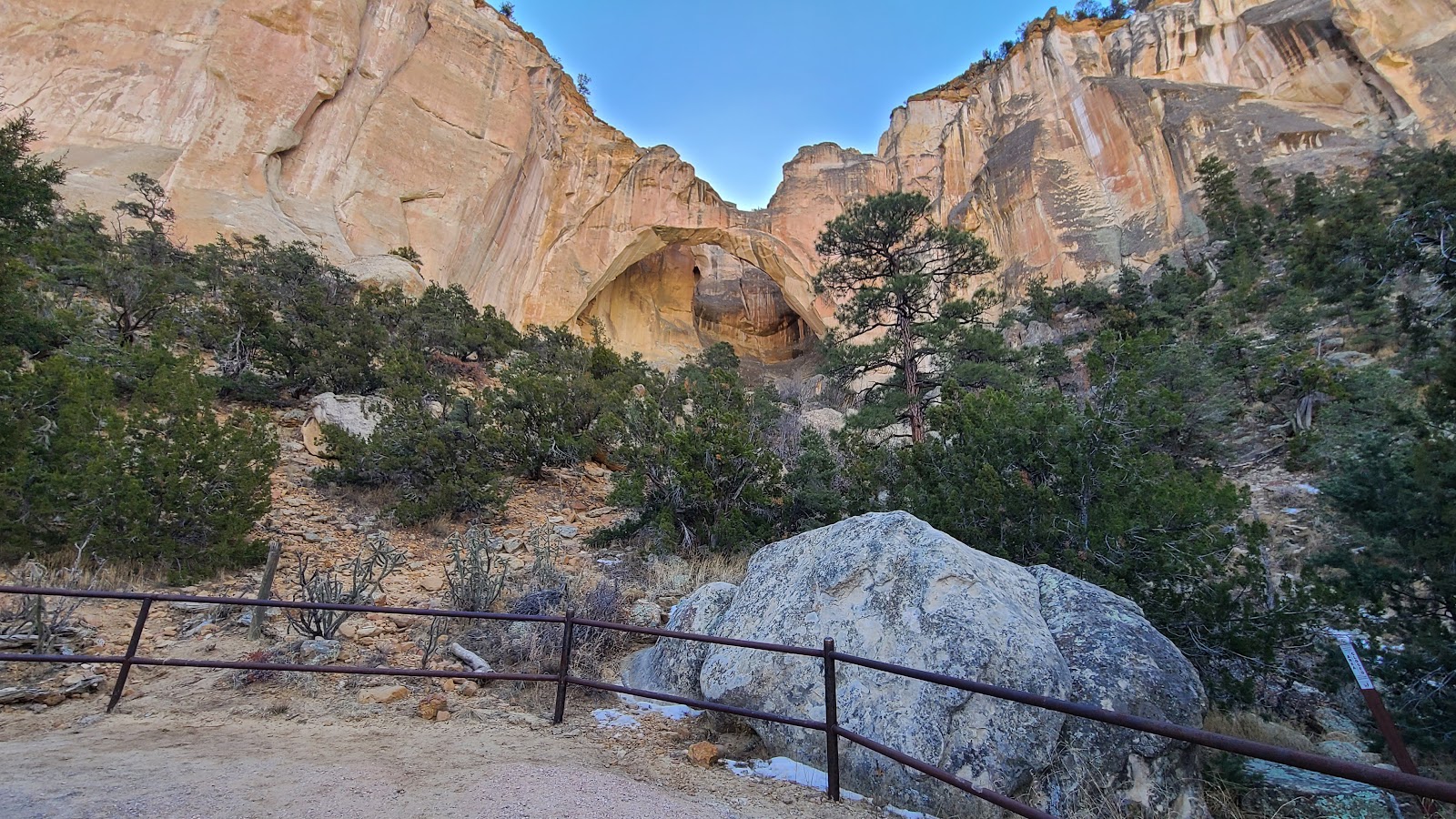 ...and still remain on the designated trail.
|
||||||||
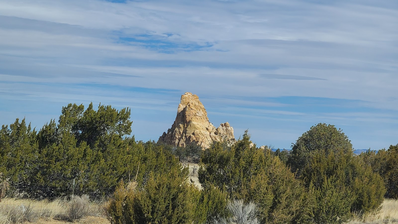 Further up the road we saw this formation just popping up out of nowhere.
|
||||||||
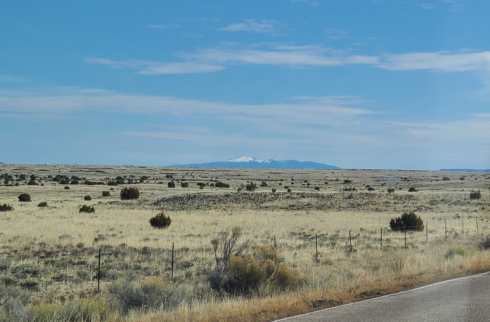
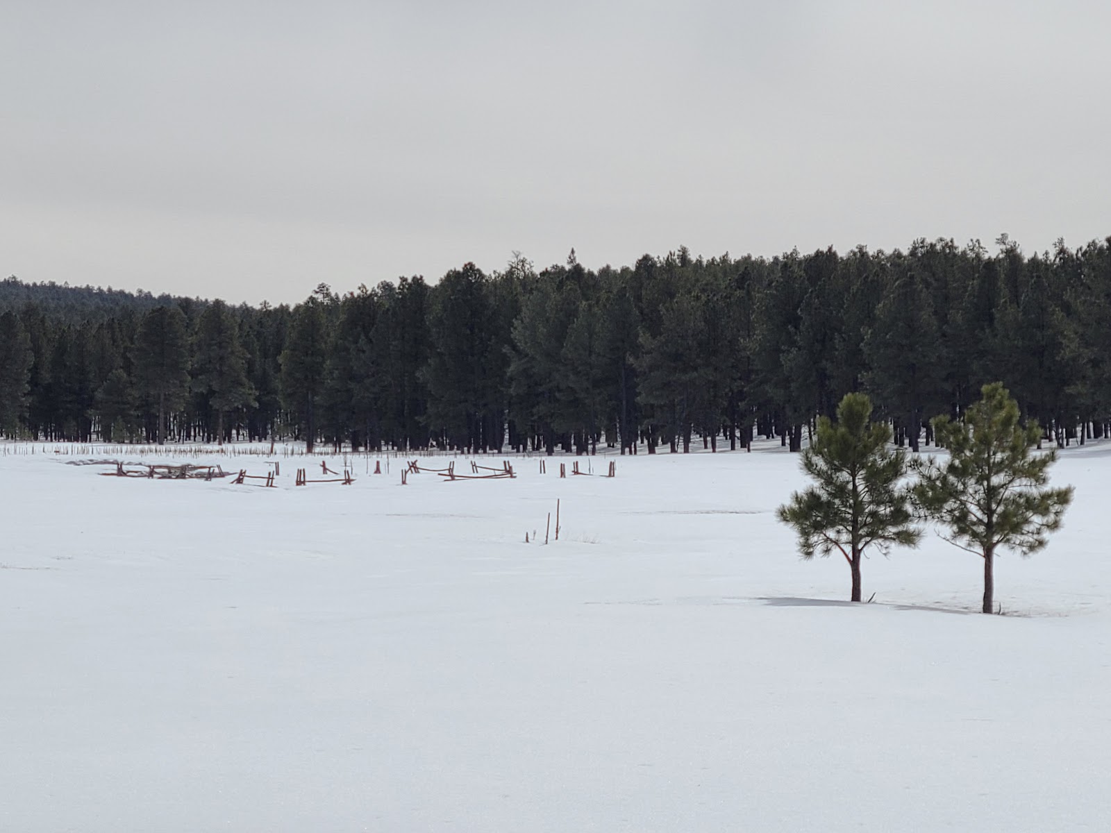
 This entire region is just one large mesa followed by another.
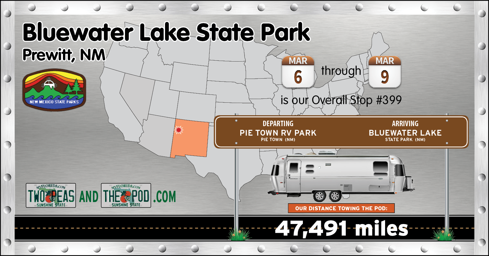
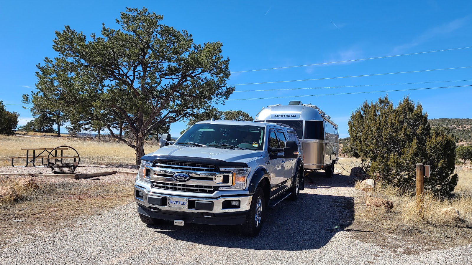
It wasn't too long afterwards we found ourselves all set up for a 3-night visit here at Bluewater Lake State Park. This park doesn't officially "fully" open until the middle of May for their busy season. So we had our choice of nearly any one of their 15 campsites with electricity, only one site is currently occupied by another camper.

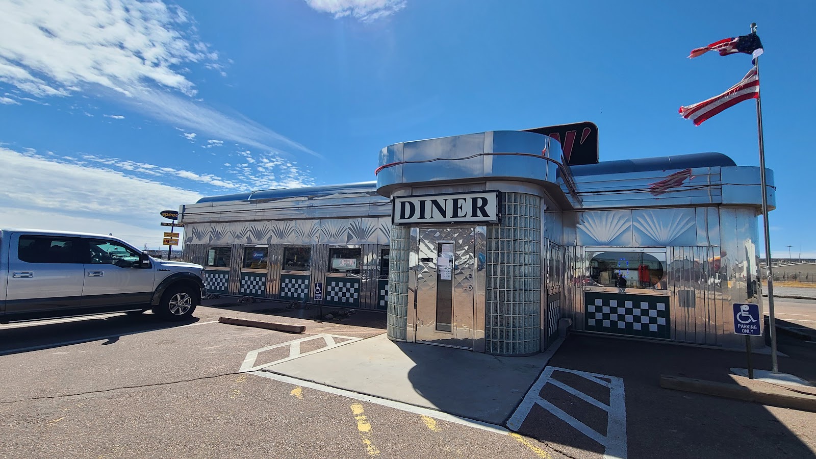
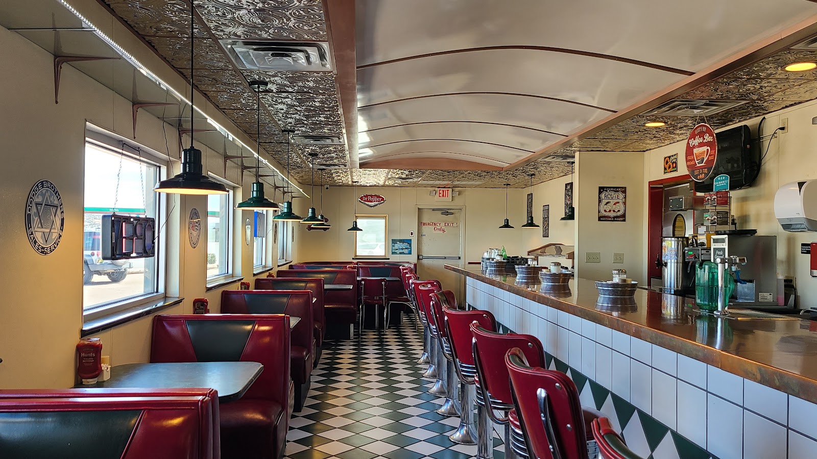
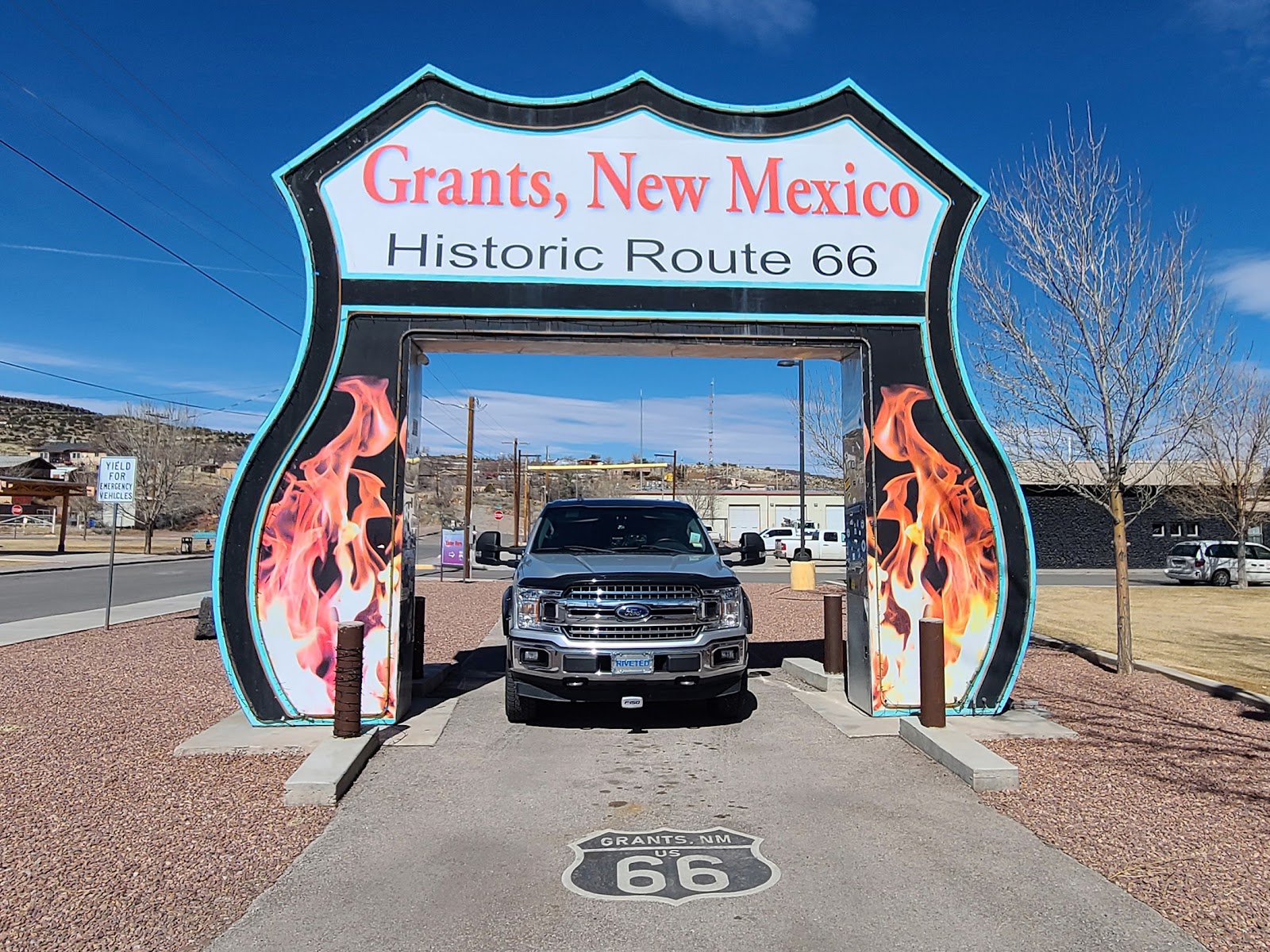
Now that we're all unhitched and set up it's time to head back into town for some lunch and then grocery shopping. It keeping with the whole "shiny aluminum theme" we have going on with ROVER and THE POD we headed over to Gabby's WOW Diner in Grants, NM for lunch.
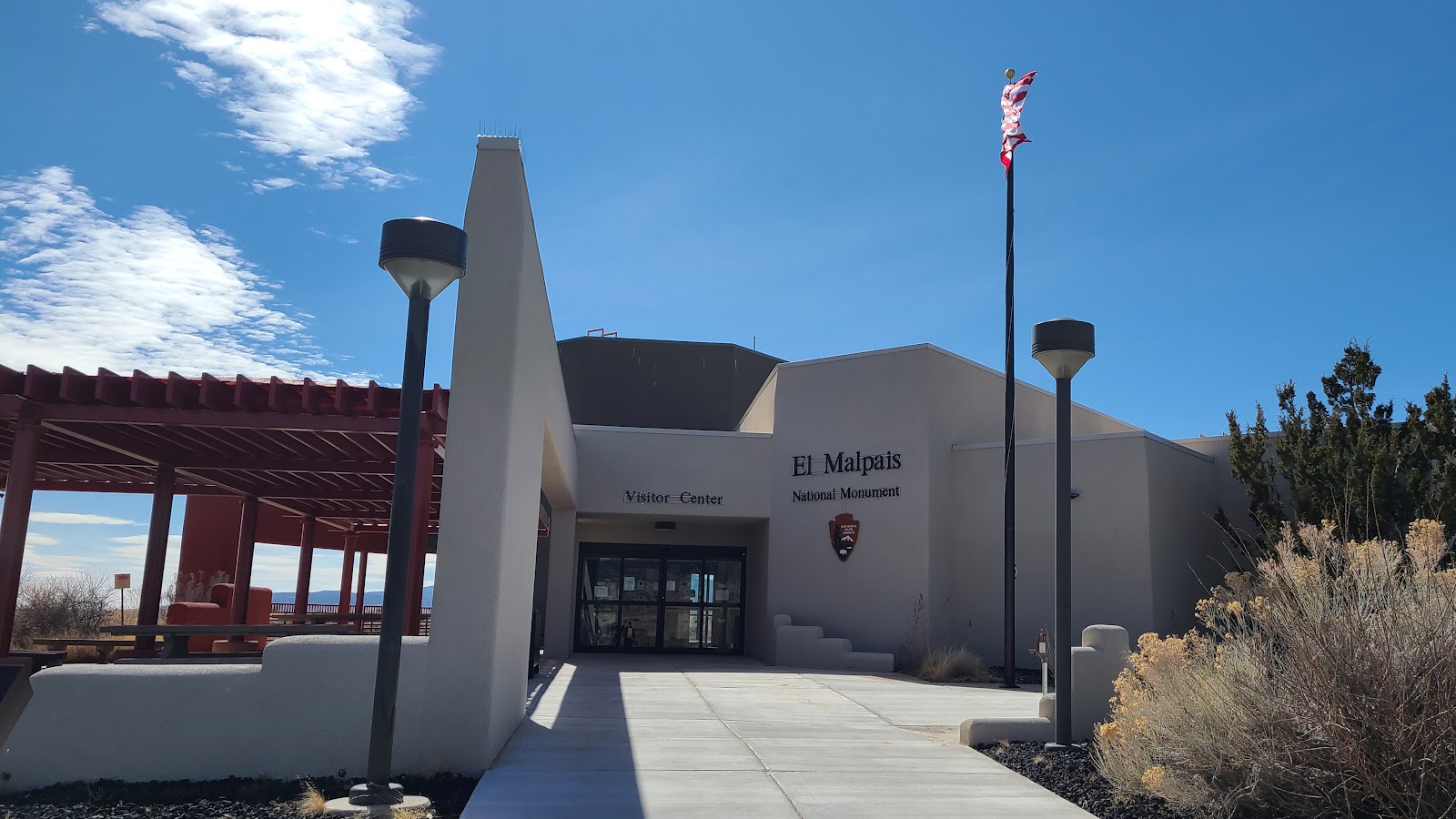
Right after lunch we were headed over to the El Mapais National Monument Visitor Center to get my Passport Book stamped and pick up some literature about what else there was to see in the park, when ROVER spotted at opportunity to have his photo taken.

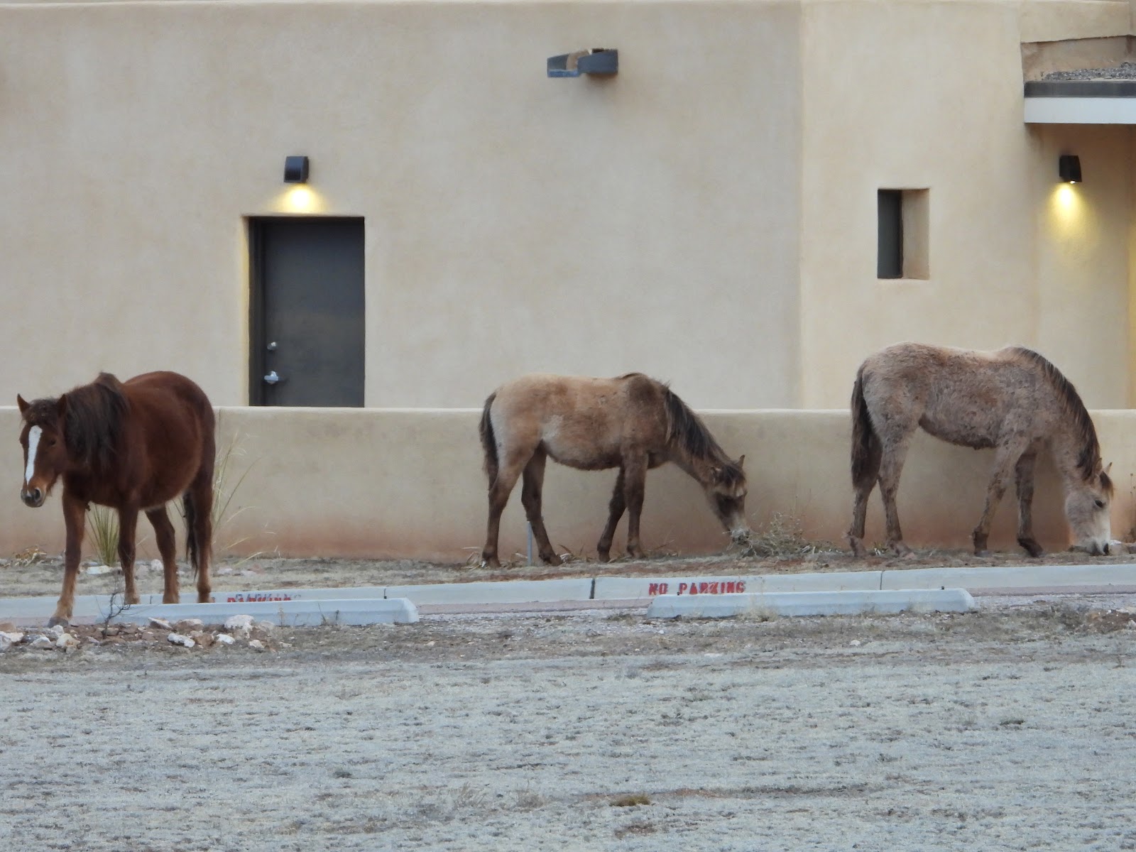
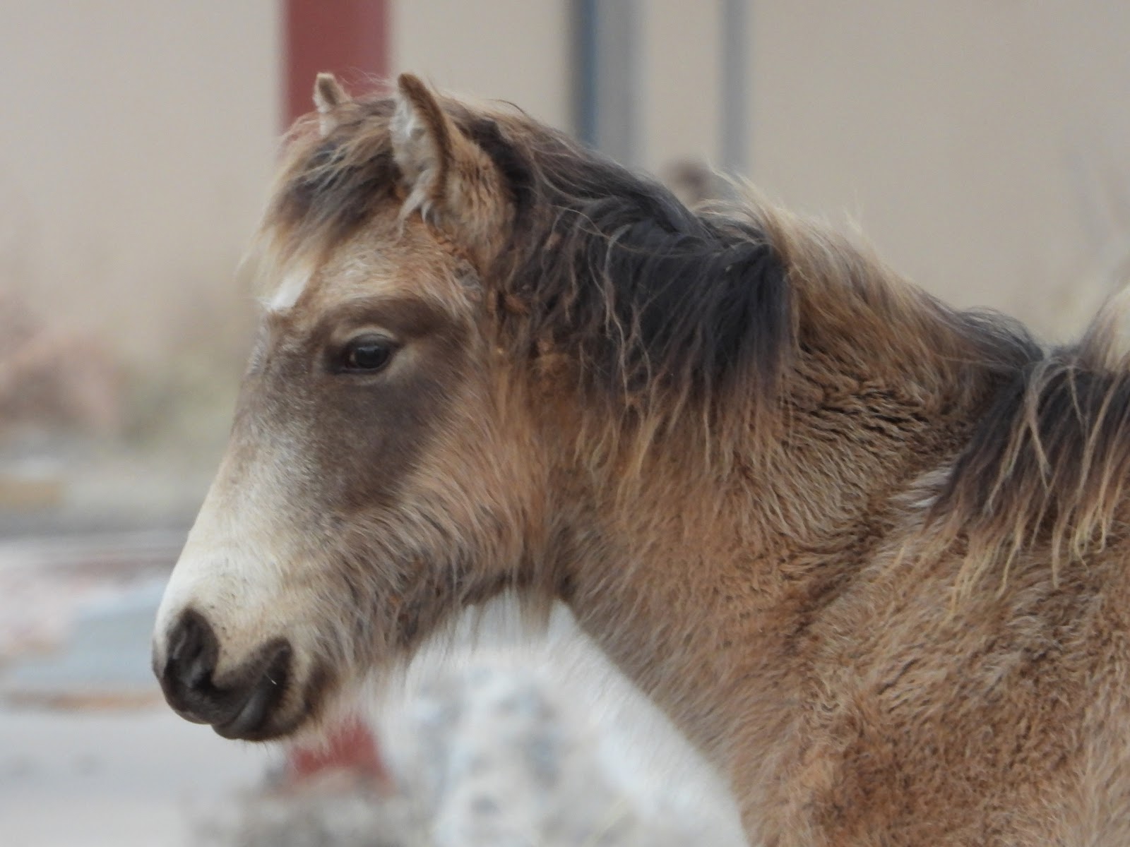
But before we get to do any of that, Tricia gets distracted from getting ready to go by something she sees outside of our dinette windows.
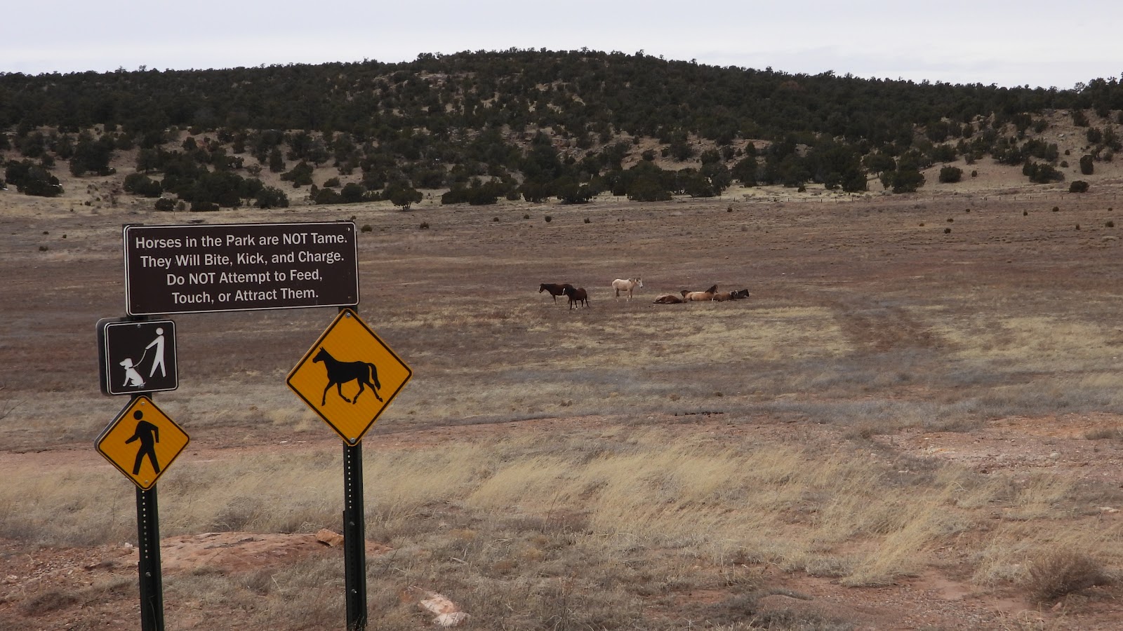
All around the park there are signs warning you not to feed or approach the wild horses that roam the park. We didn't see any of them yesterday, but early this morning they're hanging out and munching on grass over by the closed Visitor Center.
Tricia spent 20-minutes outside taking photos and videos of the nine horses she spotted.
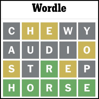
By a strange happenstance you can see what today's Wordle solution was! I kid you not, it's all true.
Does anything like this ever happen to you?
If so, please share "your strange happenstance" in the Facebook comments for this group.
I think I'd feel better if I knew I wasn't alone in this.
When we finally got on the road just after 9:30AM and don't forget we have a 100+ miles loop planned for today. We first had to get out of the park and back to I-40 to head west for about 10-miles to begin our southbound travels.
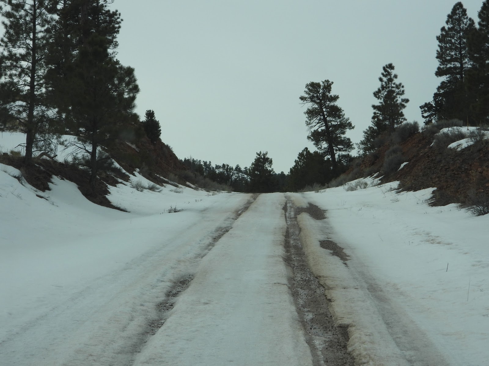
It was at the Welcome to Cibola National Forest sign that the road took a turn for the worse. The pavement ended and a fairly well conditioned gravel road began. Just nine miles later we threw in the towel and headed home.
You'll understand after viewing the following photos what happened.
CIBOLA NATIONAL FOREST
• • NM-612/DIENER CANYON ROAD • •
|
||||||||
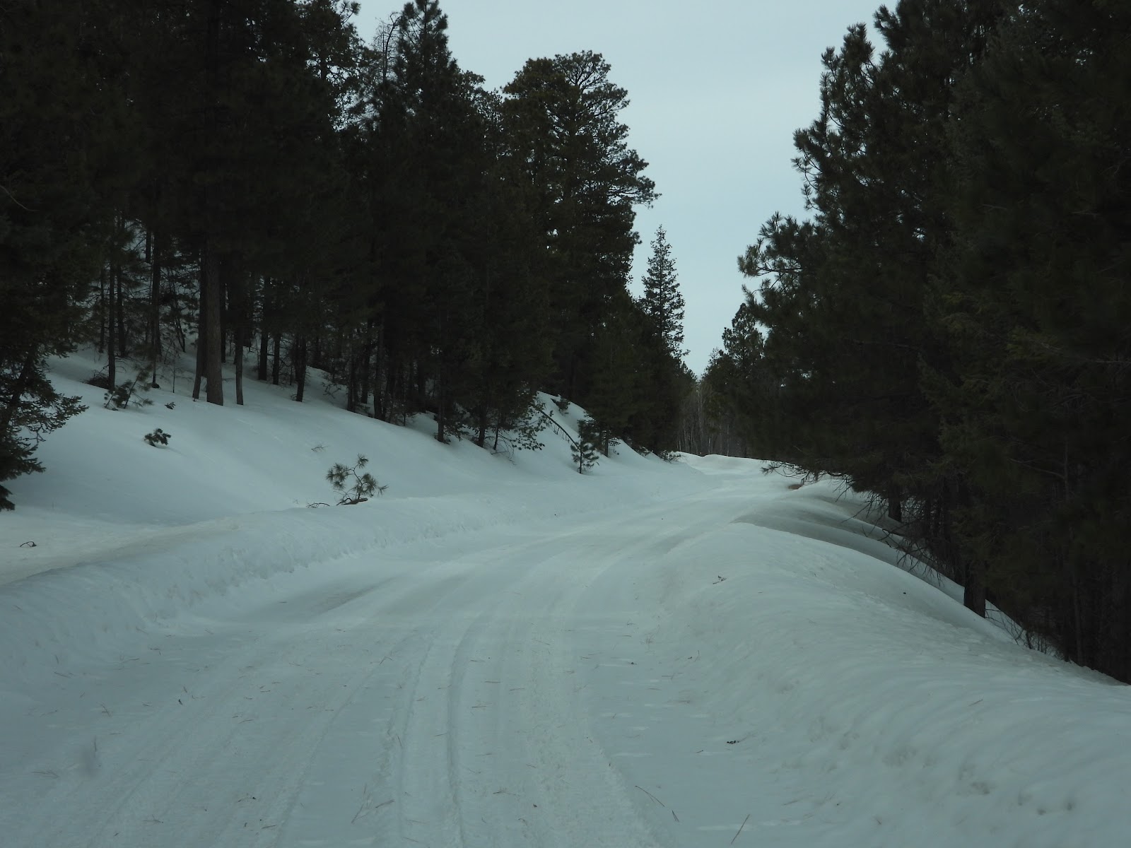
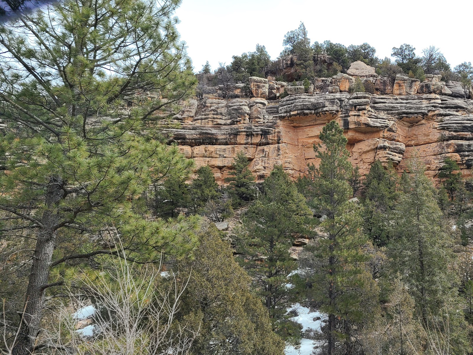
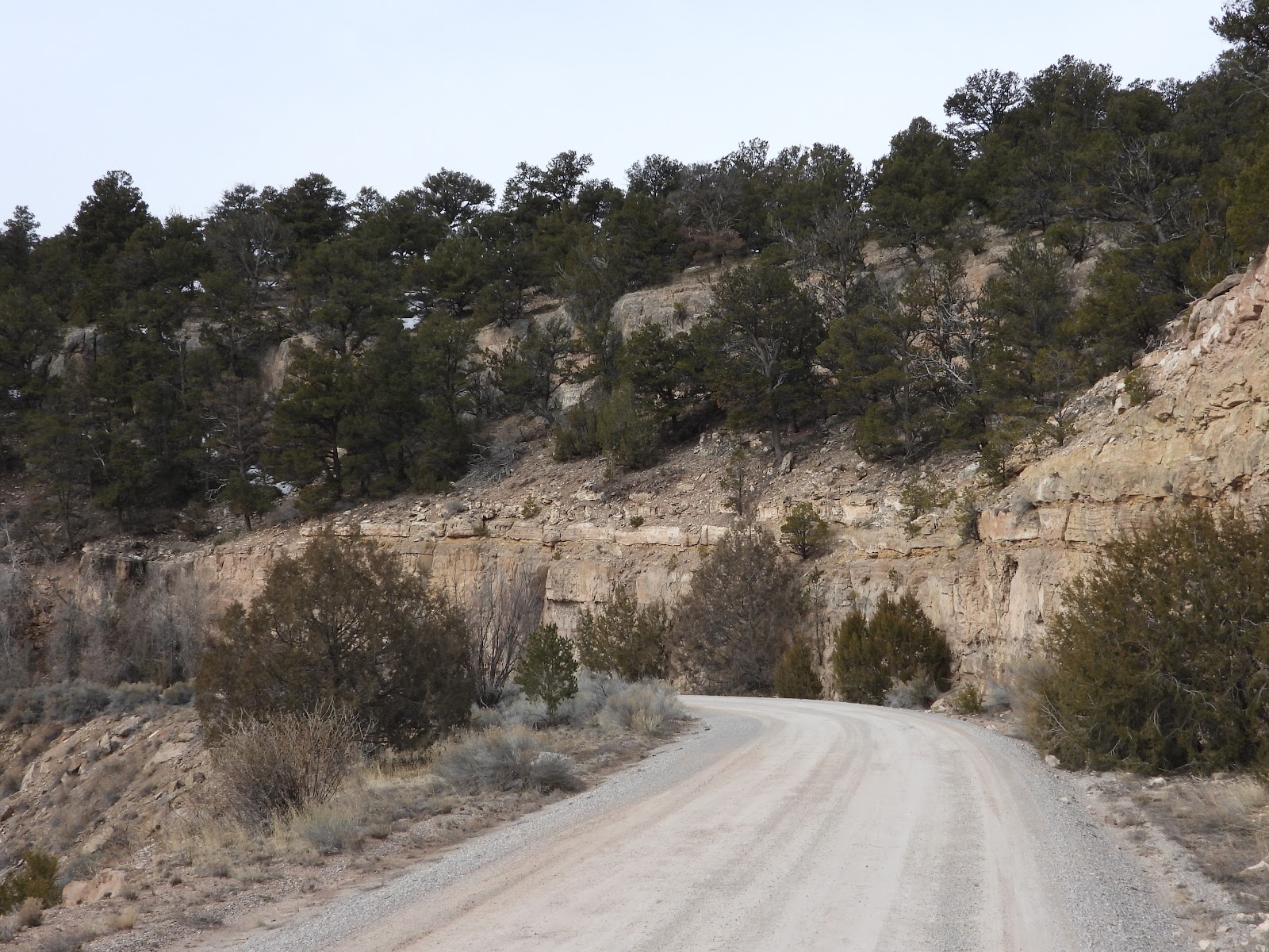 At just .75-miles into the forest we came around a sharp curve...
|
||||||||
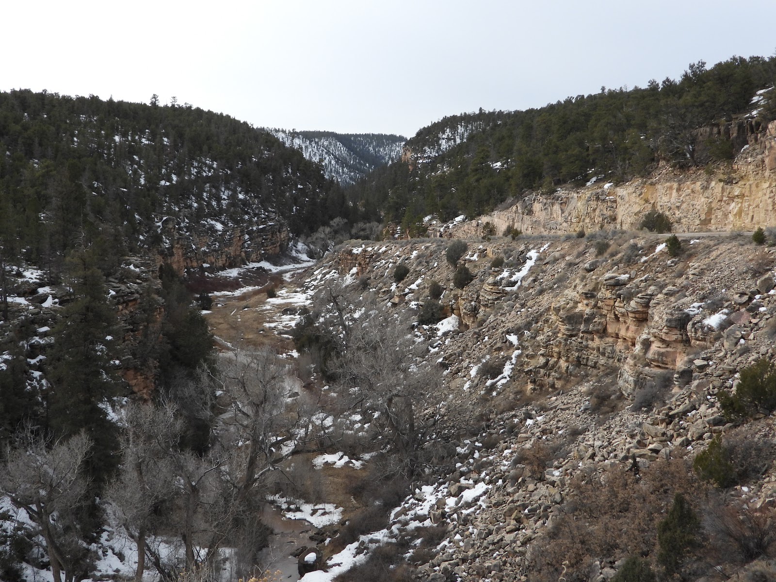 ...and were rewarded with this beautiful canyon scene. Diener Canyon (elev. 7550')
|
||||||||
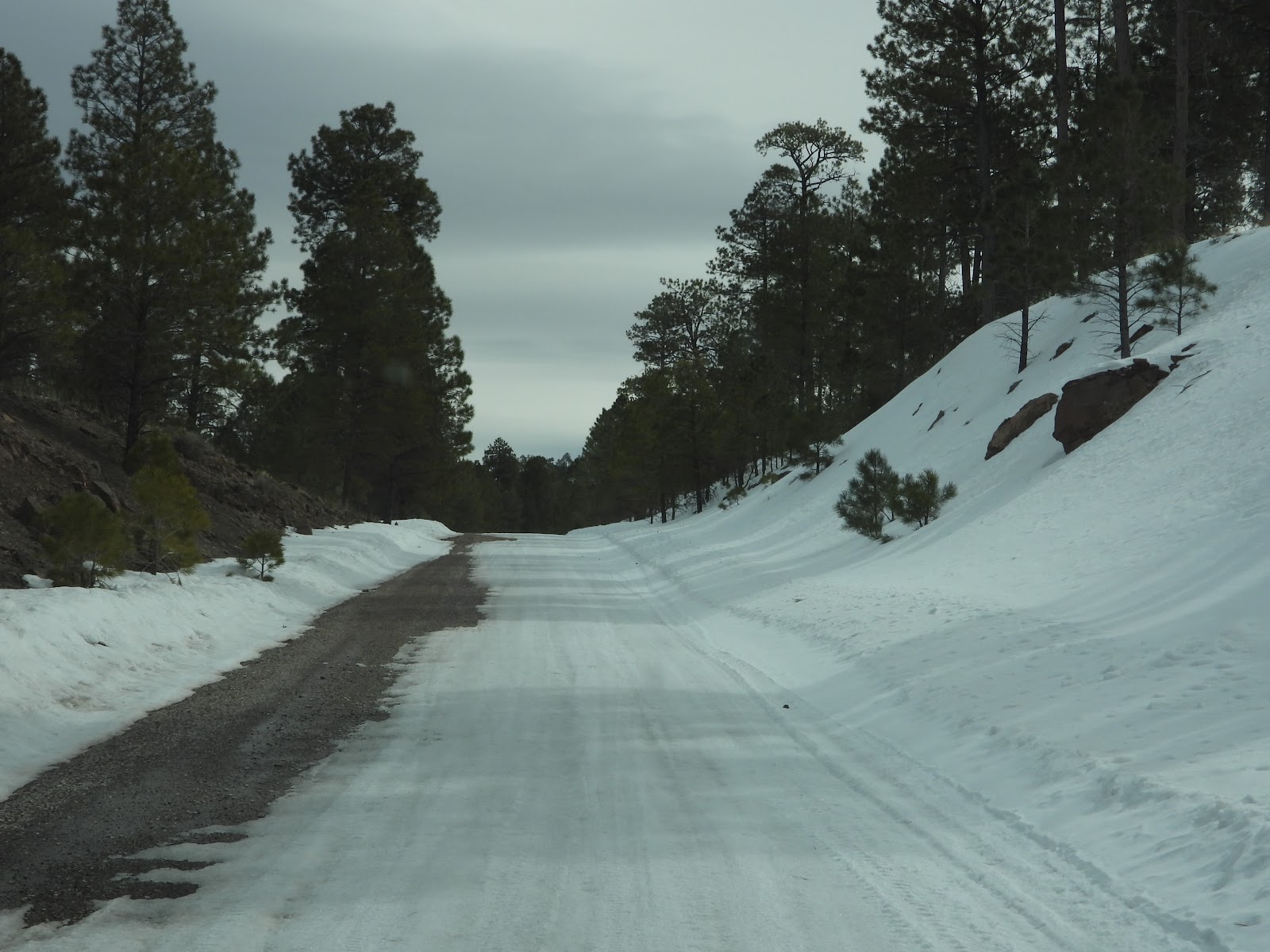
 After that curve the road decended down into the canyon.
|
||||||||
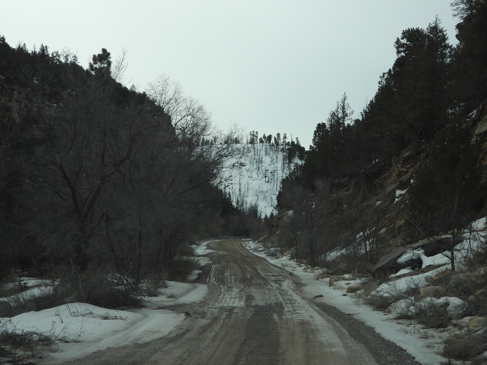 At the bottom of the canyon the road was shaded and getting sloppy from the snow melt.
|
||||||||
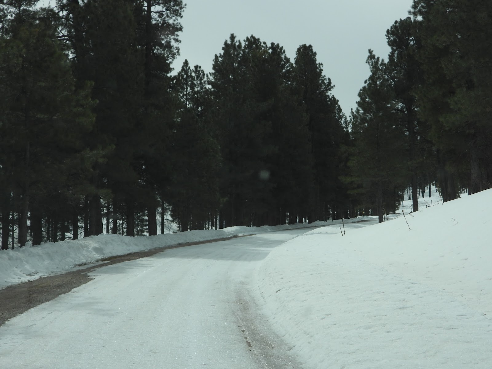
 A little further along and we saw a fence and a little out building.
|
||||||||
 Then the road started heading upward again
and I was soon wondering if we may have to use ROVER's 4-wheel drive.
|
||||||||
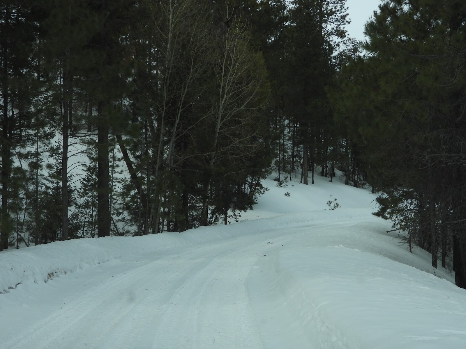
 Around the next corner we kicked it into 4-wheel drive.
|
||||||||
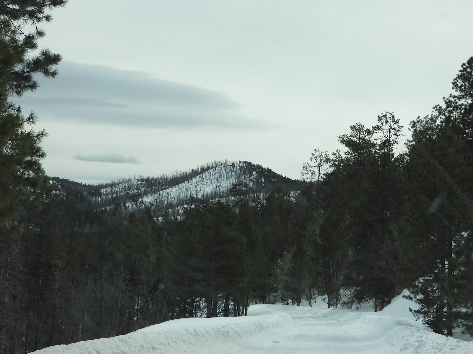
 For the next few miles the road steadily climbed in elevation.
|
||||||||
 There were a few mild downhill sections too.
|
||||||||
 But it wasn't long before we resumed our uphill climb.
|
||||||||
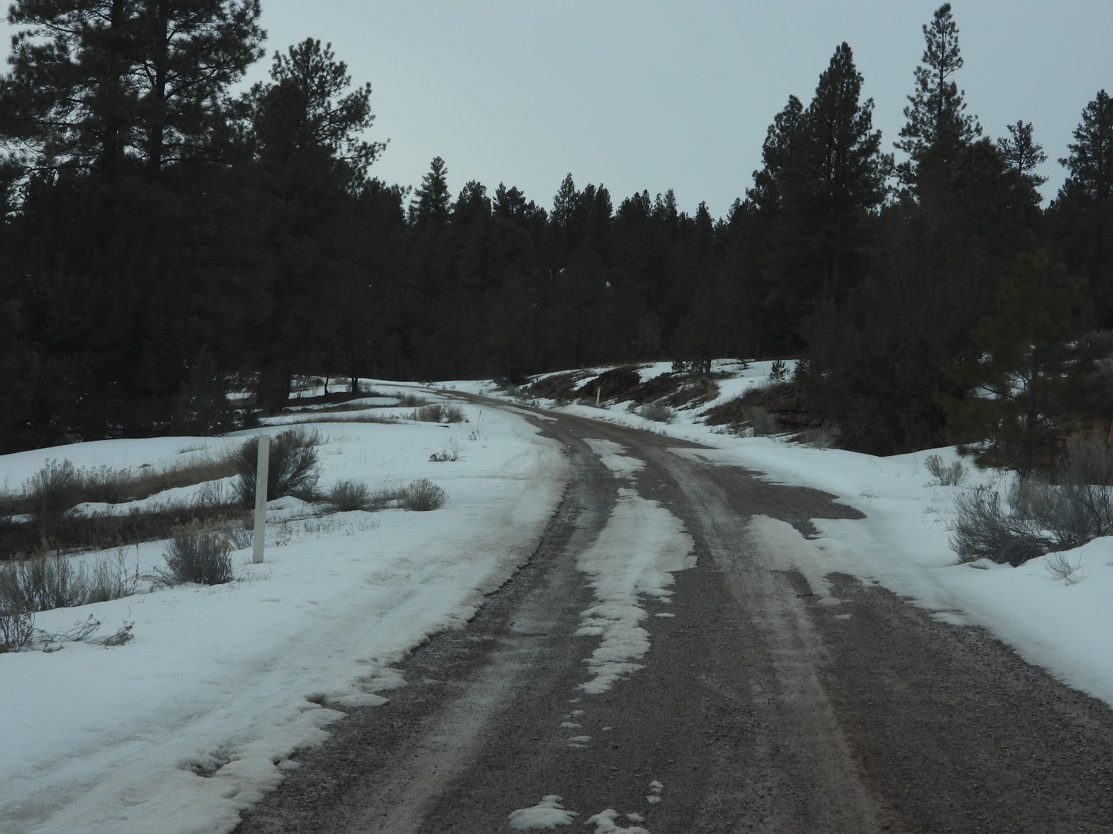
 The road has obviously be plowed, but they did have a little snow here just a few days ago.
|
||||||||
 Still heading up!
|
||||||||
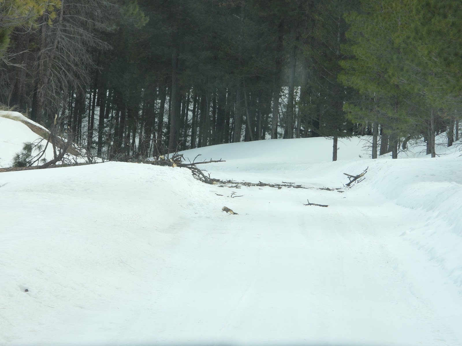
 There is supposed to be a fork in the road here! Heck, where is the road?
|
||||||||
 That was where we turned around, 9-miles in at an elevation of 8478'.
|
||||||||
 It's now mostly downhill from here.
|
||||||||
 This is where Tricia wanted out of the truck?
A few seconds later a snowball hit the driver's side windshield.
|
||||||||
 We saw these road signs, but have no idea what they meant.
|
||||||||
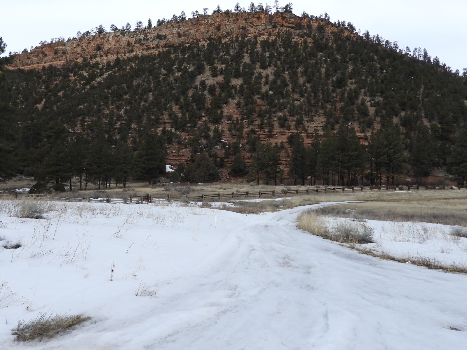
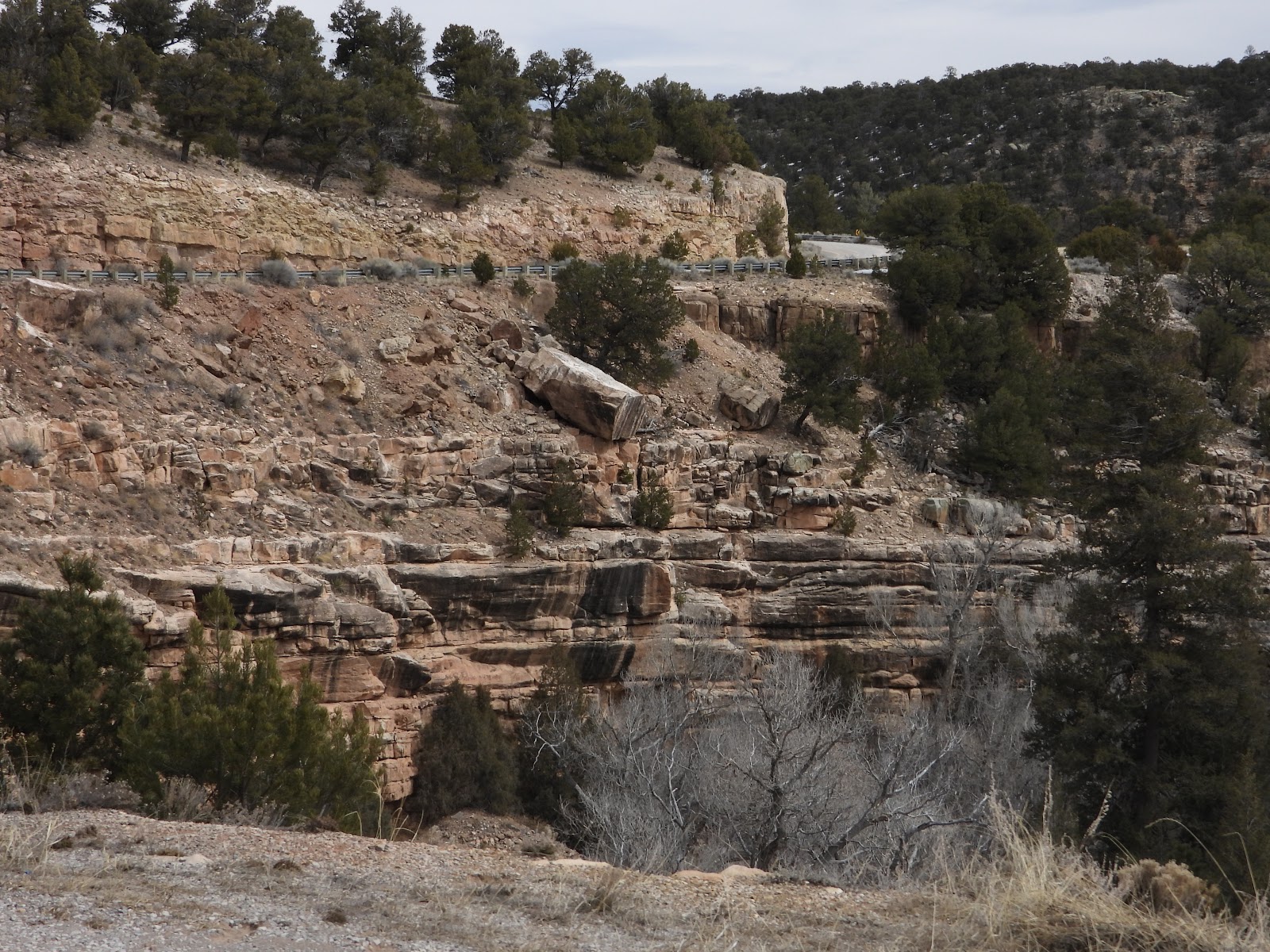
 Getting back towards the forest entrance we saw rock formations we miissed on the way up.
|
||||||||
 Look at all those different layers in the rock face.
|
||||||||
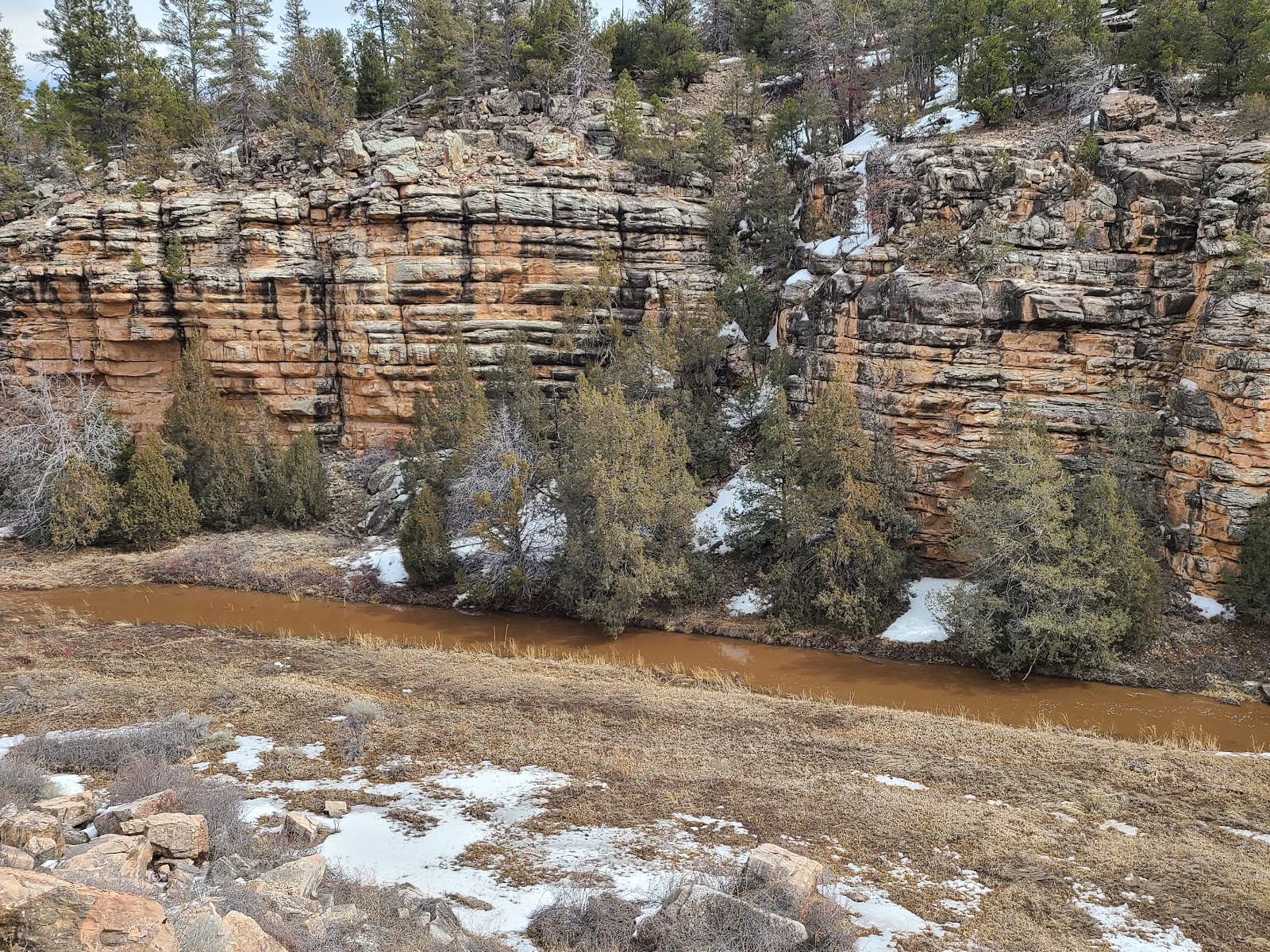 There is a muddy stream running through the bottom of the canyon.
|
||||||||
 Just .75-mile to go and we're outta here!
Well our planned outing didn't go quite as planned. We headed back to the campsite to finally eat our lunch Tricia prepared and brought along with us today. But before we do that we'll check out the rest of the campgrounds, there are four of them, and see if we can spot the lake the park is named after.


I doubt it's actually blue either!
Just one more thing we'll need to do tomorrow.
So just 40-miles in to our 100+ mile loop we turned around and headed home. It was still an 80-mile day and we did see some beautiful canyon view and plenty of snow. Maybe tomorrow we'll have better luck and start the loop in reverse, but only up to the point where we enter the forest.

A couple of hours later we took a short ½-mile hike up to the Dam Overlook to see what the Bluewater Creek side of the dam looked like. Yesterday we saw it from the Bluewater Lake side.


Now it's time for us to leave the park and drive around the mountain that we tried to drive over yesterday. I'm hoping we have better luck today!
A little over an hour later we had arrived at our destination.
The Ice Cave and Bandera Volcano is located right on the Continental Divide here in New Mexico. It is a 4th generation family owned and operated attraction located totally within the El Mapais National Monument.
We're excited to hike to an ice cave at the entrance of a lava tube and an extinct volcano all in the same day.
ICE CAVE AND BANDERA VOLCANO
|
||||||||
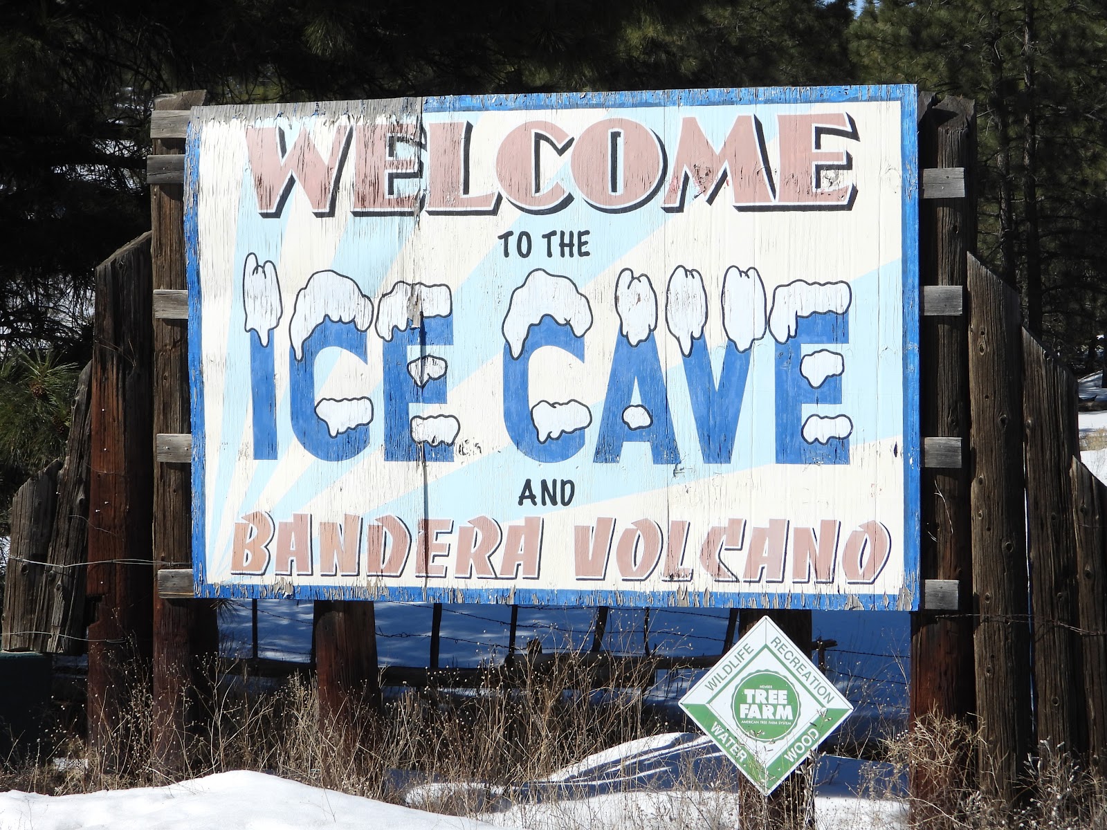 Every good attraction needs a big attention grabbing sign out on the highway.
|
||||||||
 Inside their little museum they have a collection of wonderful pieces of pottery.
|
||||||||
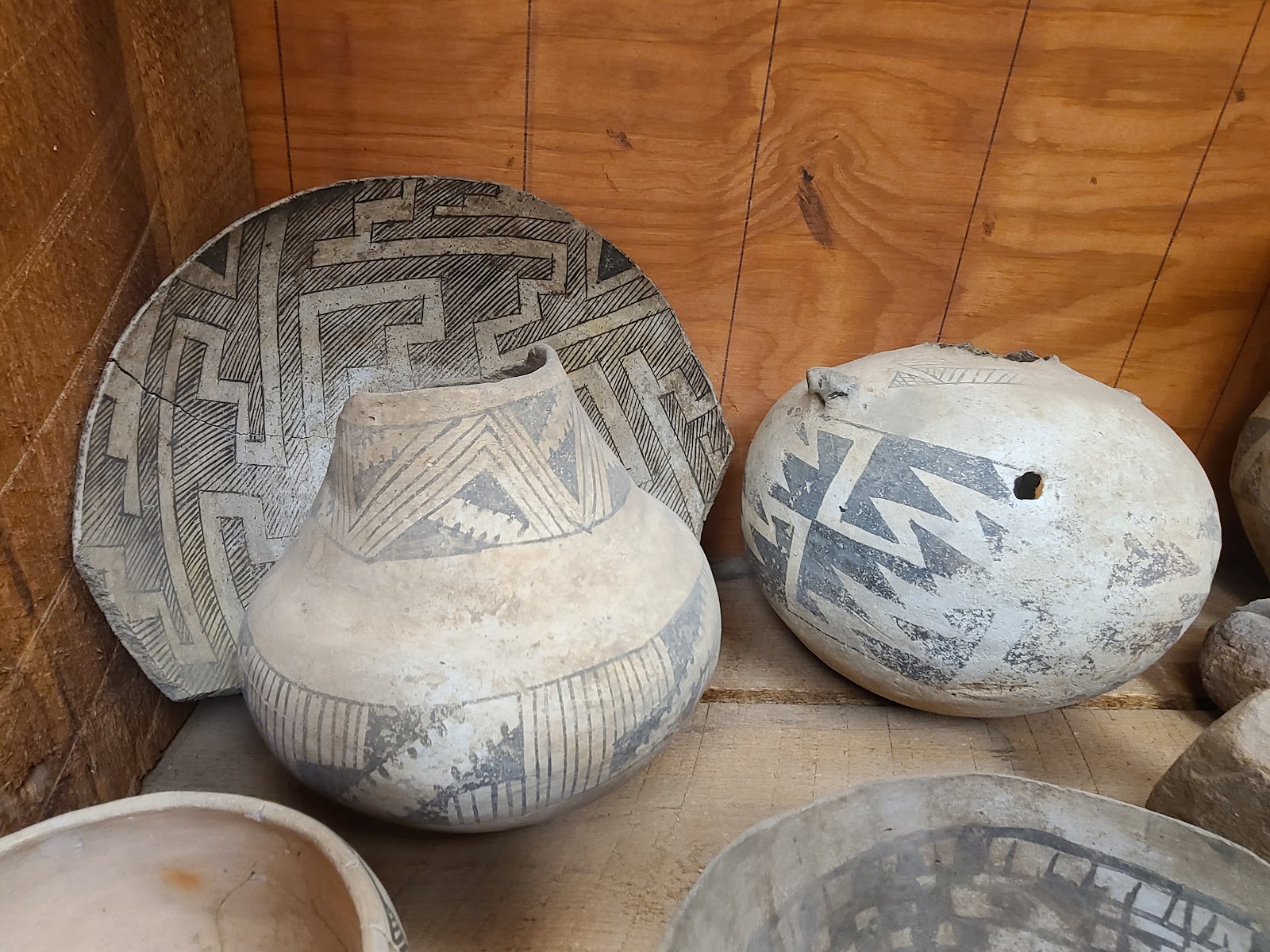 Most of the pieces are fairly well intact compared to others we've seen.
|
||||||||
 Some of them are very large.
|
||||||||
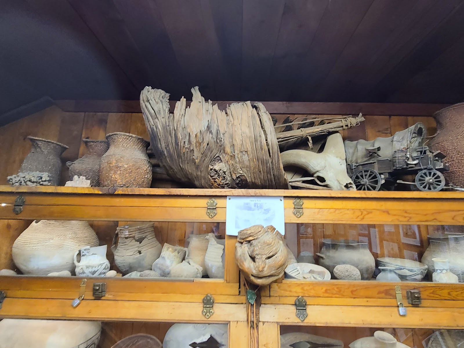 Other odds and ends found on the property.
|
||||||||
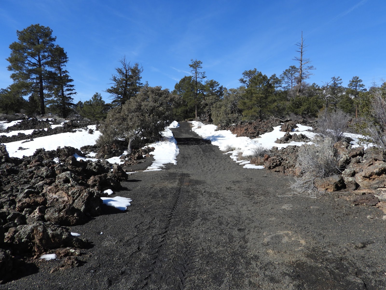 This is the start of the trail leading to the ice cave entrance.
|
||||||||
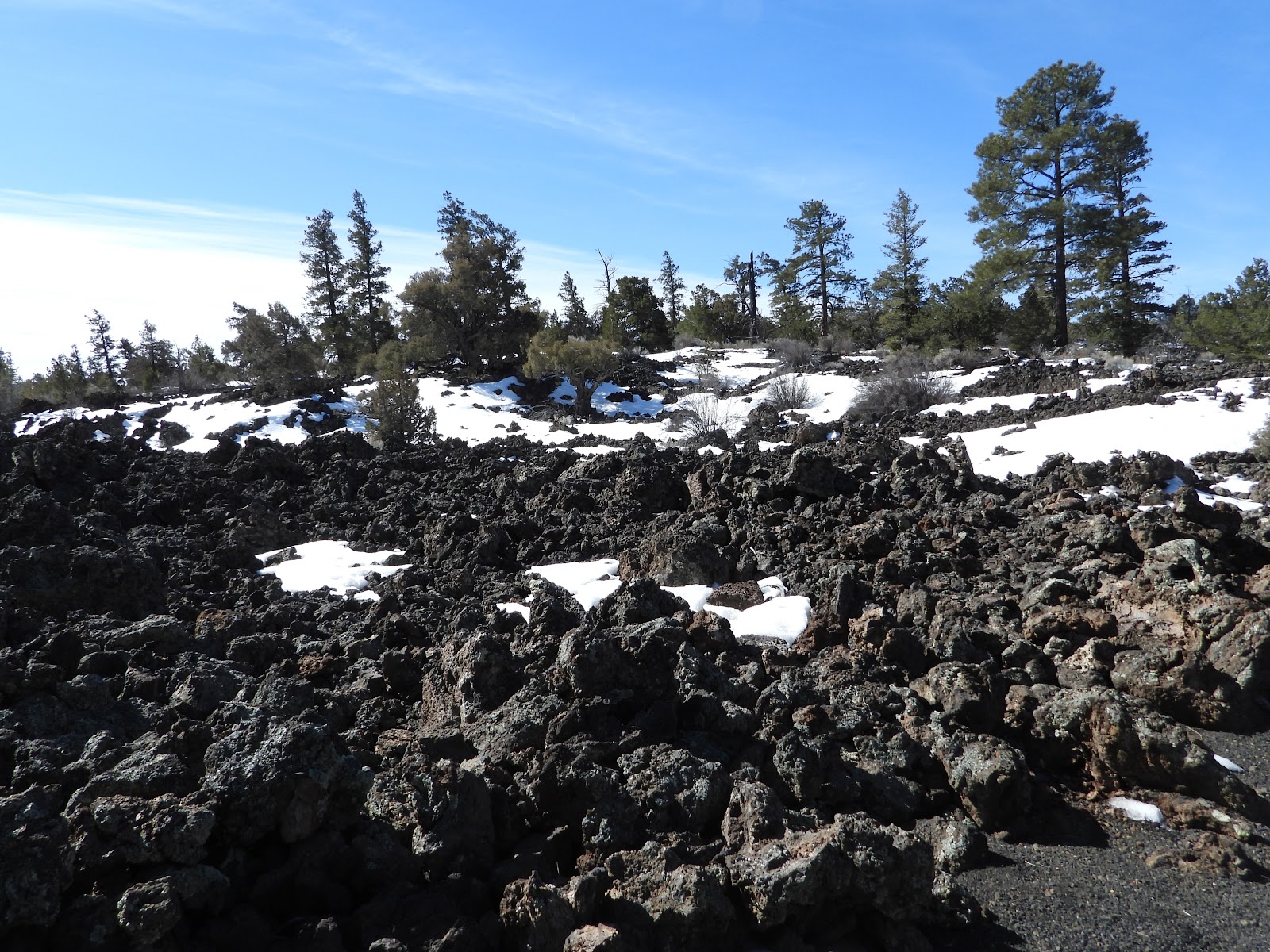 You'll find lava rock covering most of the ground around here.
|
||||||||
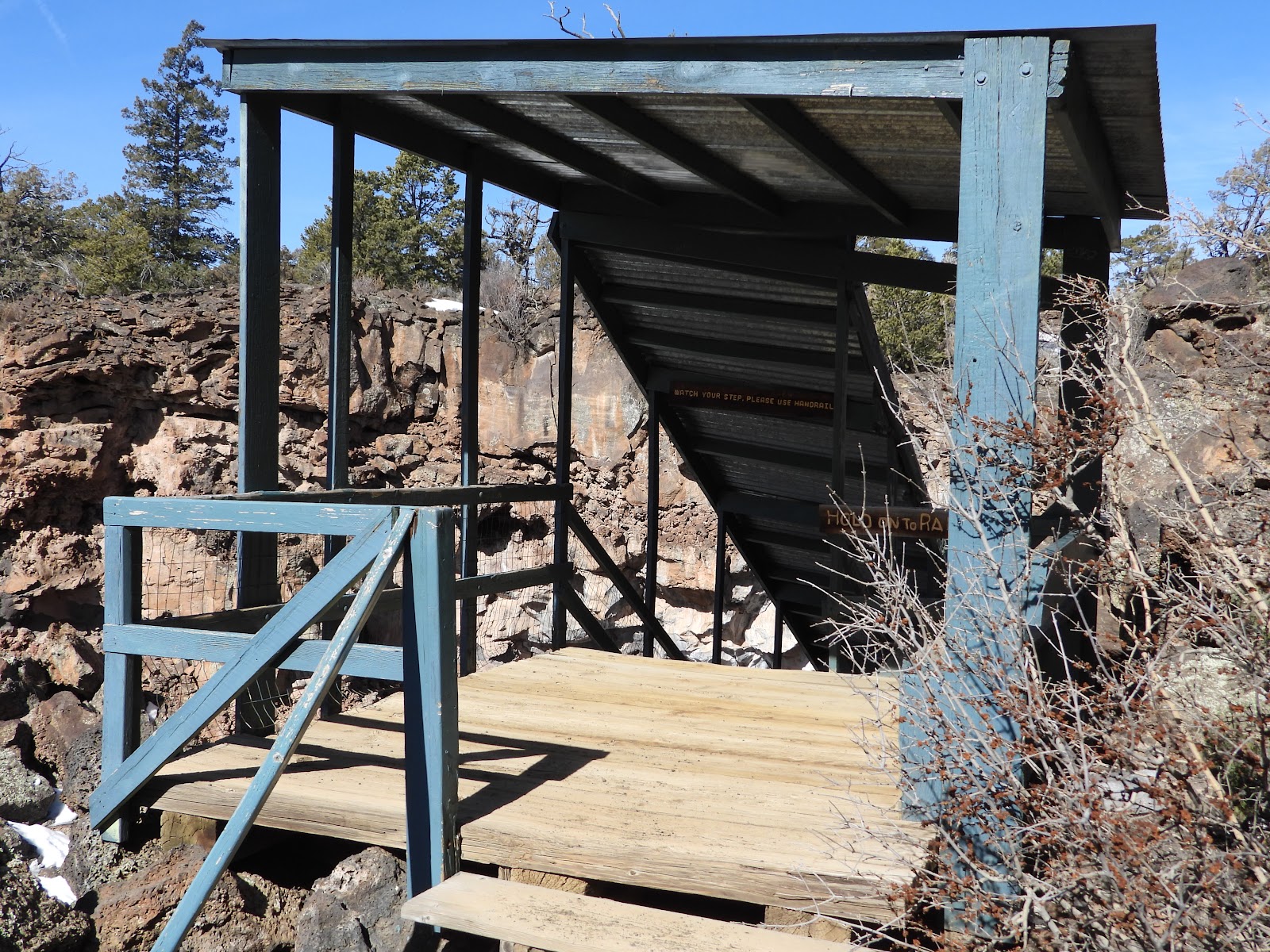 The top of the stairs that leads down to the ice cave.
|
||||||||
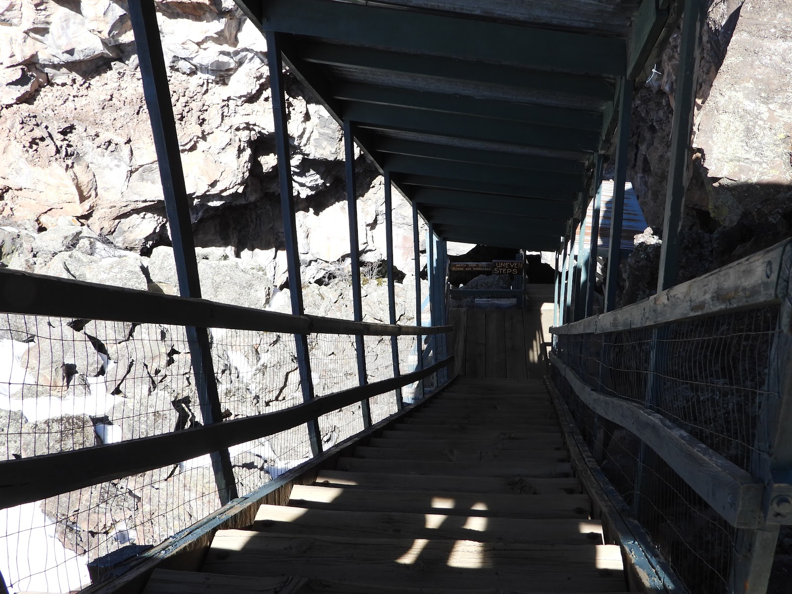 I believe they said there are 67 steps, I didn't count them!
|
||||||||
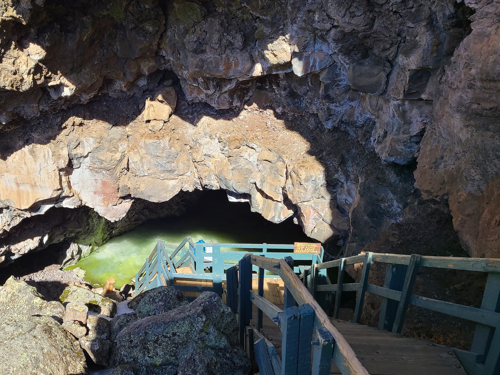 Almost to the bottom now.
|
||||||||
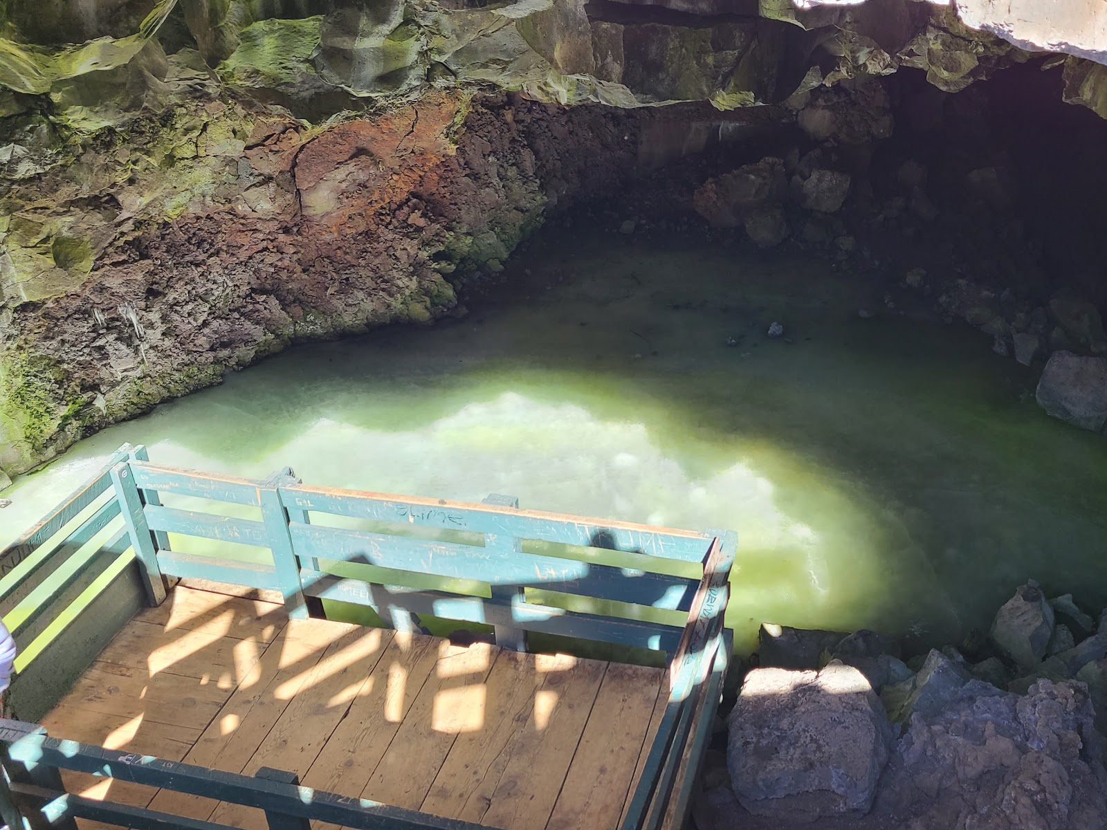 The ice is more than 20-feet thick year round, even when it's 100°F outside.
|
||||||||
 The back of the cave leads deeper into the lava tube.
|
||||||||
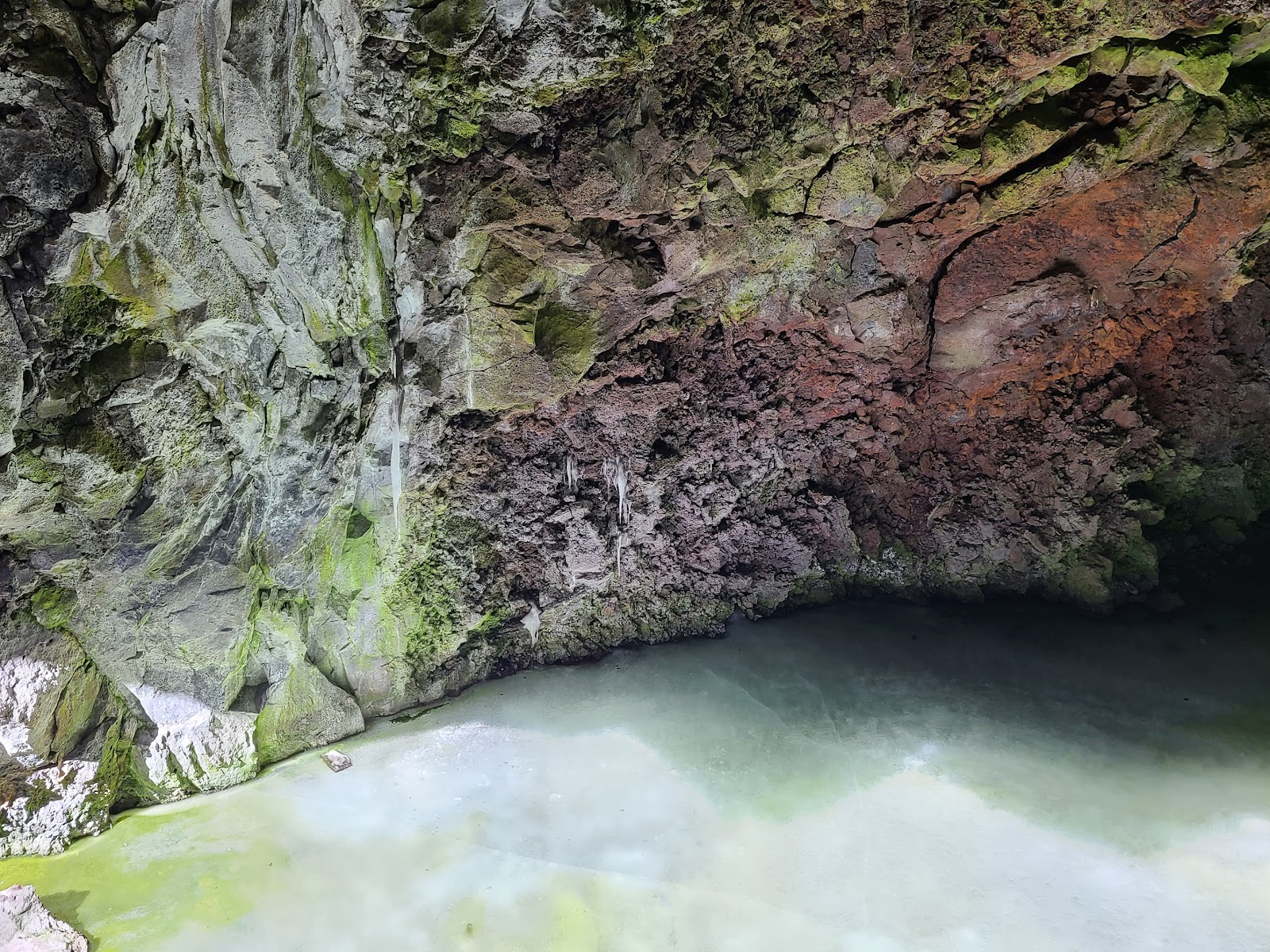 There is fungus and lichen growing on the walls of the cave.
|
||||||||
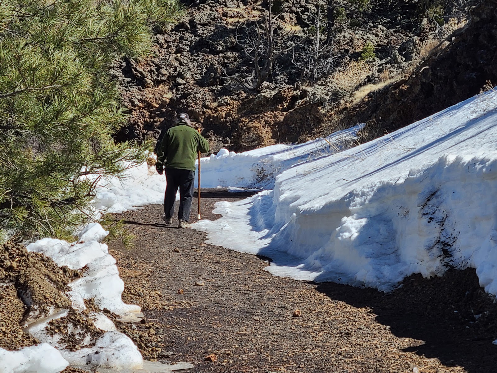
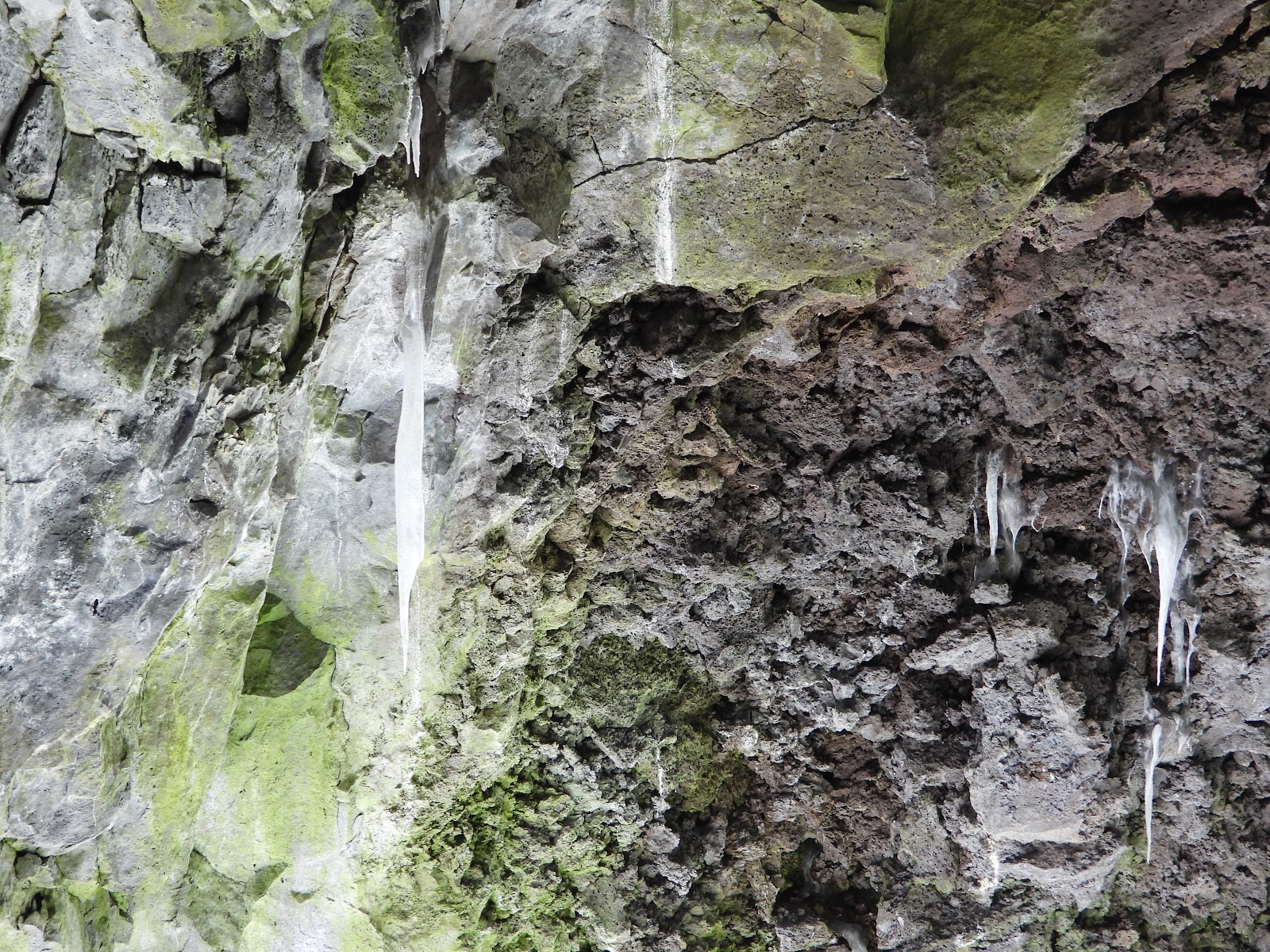 Even a few icicles can be found here today.
|
||||||||
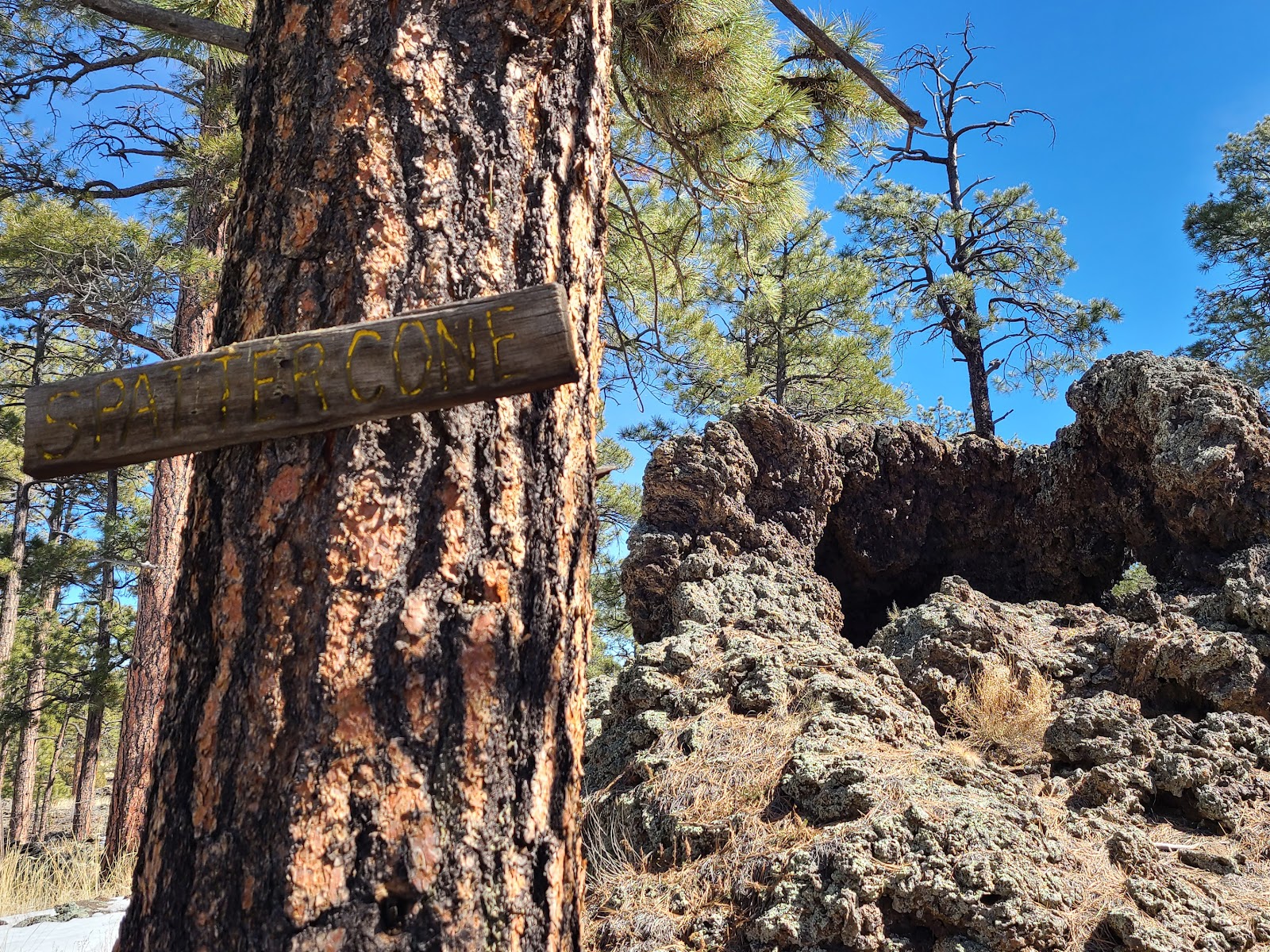 Now we are beginning the hike up to the volcano.
|
||||||||
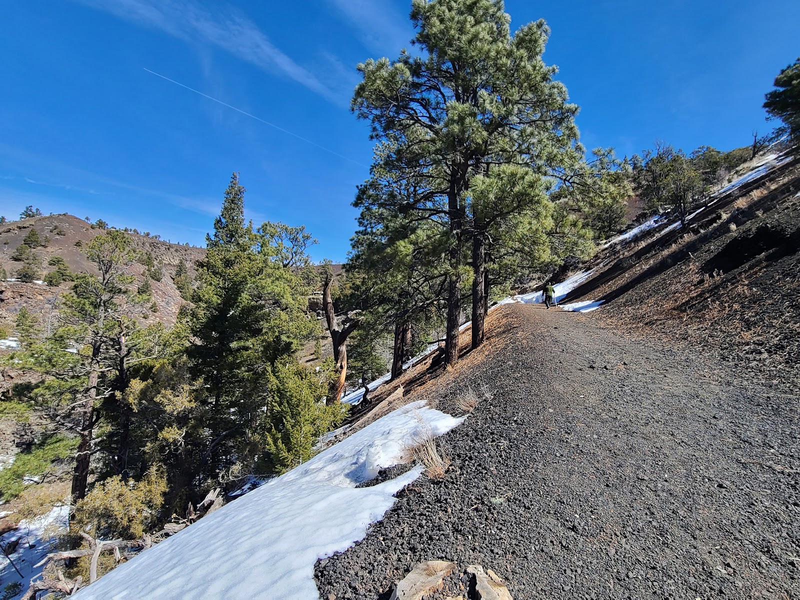
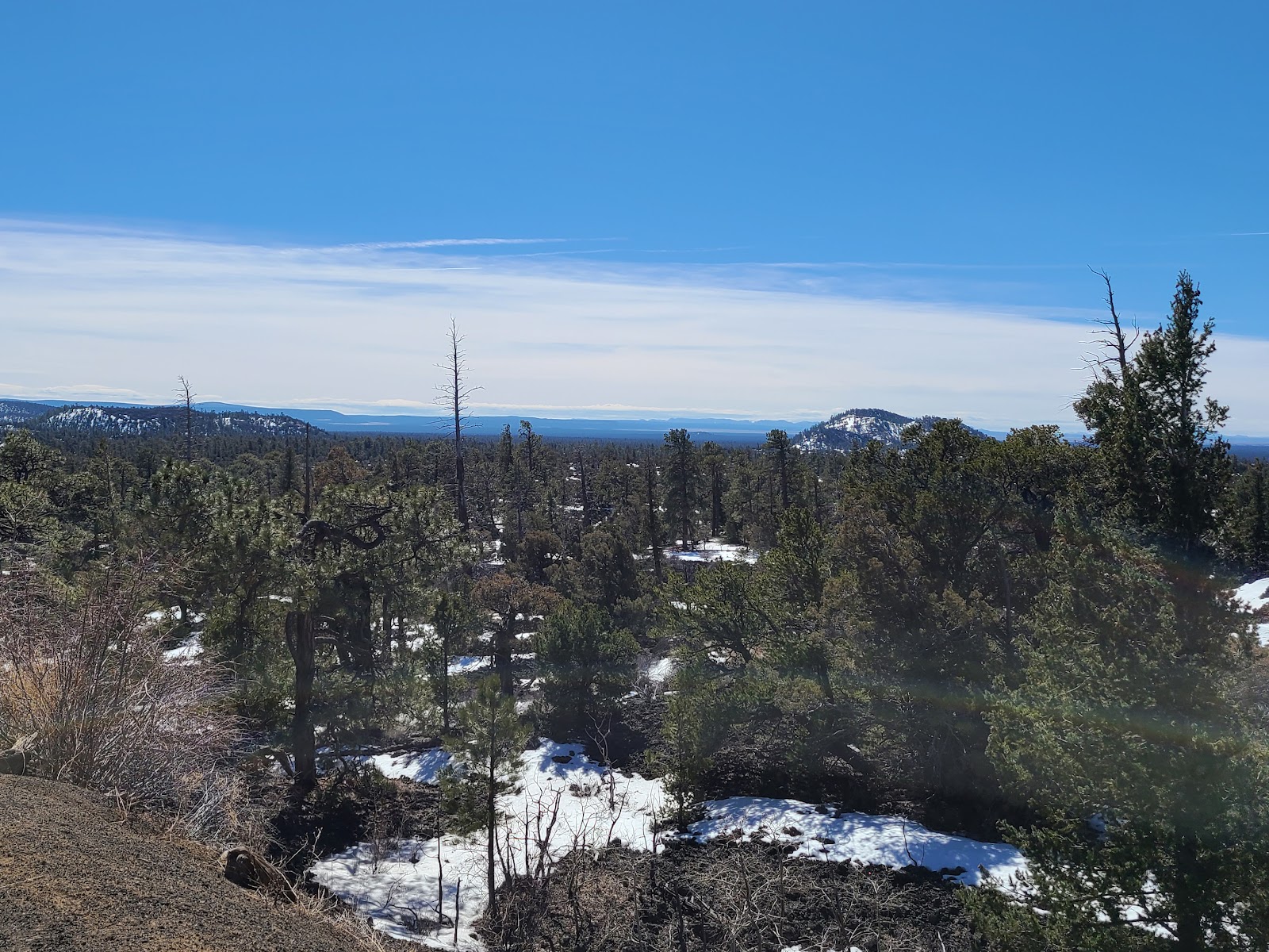 The view from about the halfway point is spectacular.
|
||||||||
 This is the outside of the volcano we are hiking up to.
|
||||||||
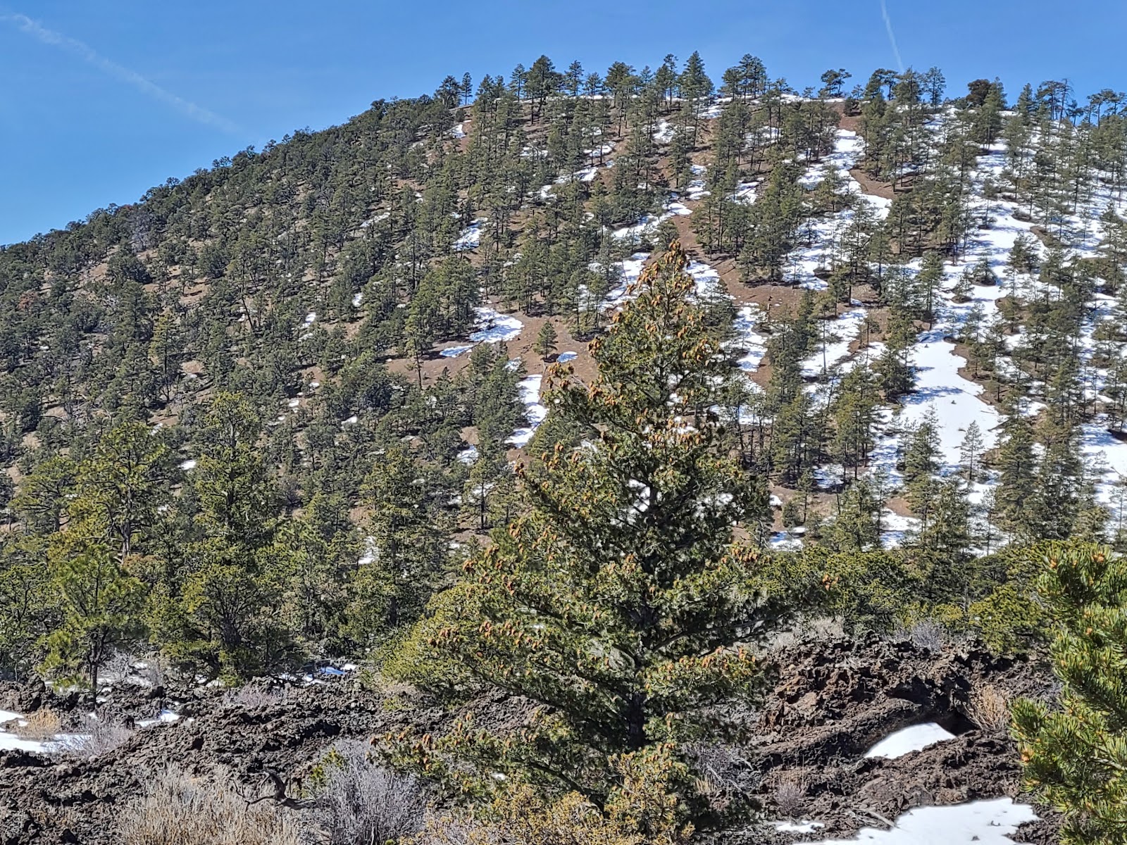
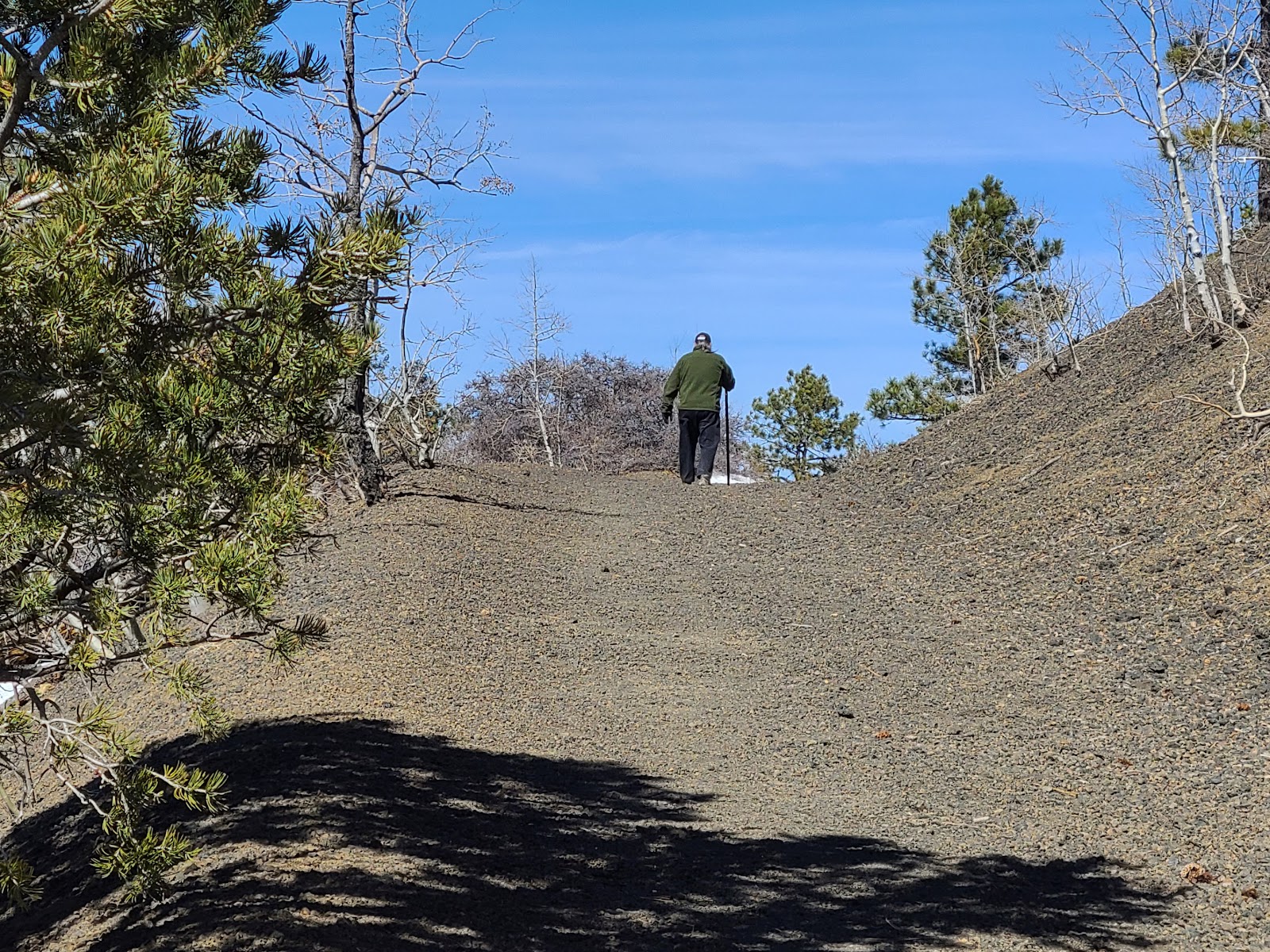 You gain several hundred feet of elevation over the half mile hike.
|
||||||||
 It just keeps going up!
|
||||||||
 It sure is getting cold and windy up here.
|
||||||||
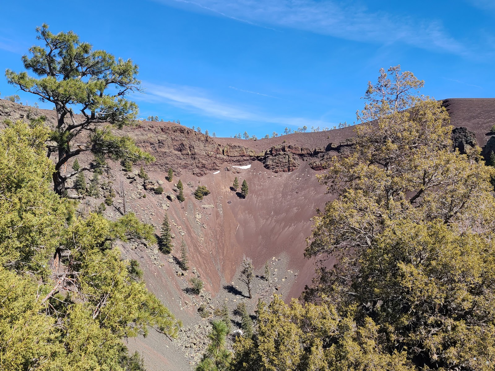 Finally we are rewarded with a glimpse of the inside of the volcano.
|
||||||||
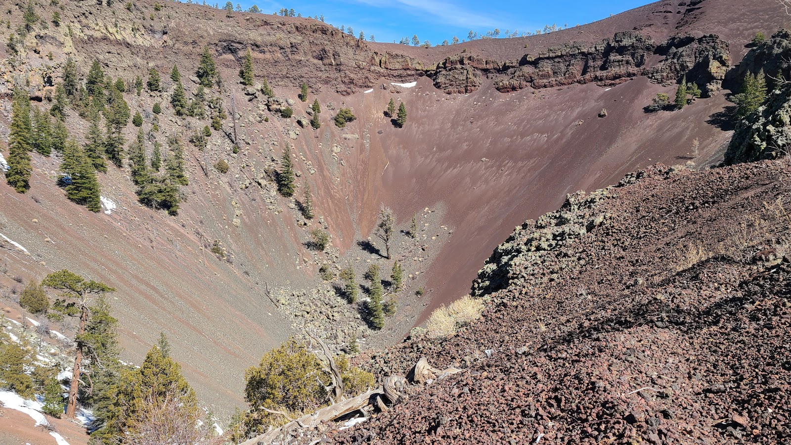 It's between 600-800 from the rim down to the bottom of the volcano.
The hiking trails usually open the first week of March (weather permitting). This year they just opened on March 6th, so 2-days ago. By early November they are beginning to shut down for the season so plan your visit accordingly.
Good news for anyone who is a Harvest Host member. You are invited to stay overnight for FREE the day before or day of your visit.
A visit to the small museum alone is worth a stop! They have a wonderful collection of 800-1200 year old pottery and artifacts that have all been found on the property over the last fifty years.
Would you like to be notified of new blog posts?


